Malanggad Trek
Thane (on the Thane–Raigad border), Maharashtra
Opens without signal on this phone, with the map file and checklist. Saved for offline →
- Max altitude
- 789 m
- Days
- 1 day
- Distance
- 7 km
- Difficulty
- Difficult
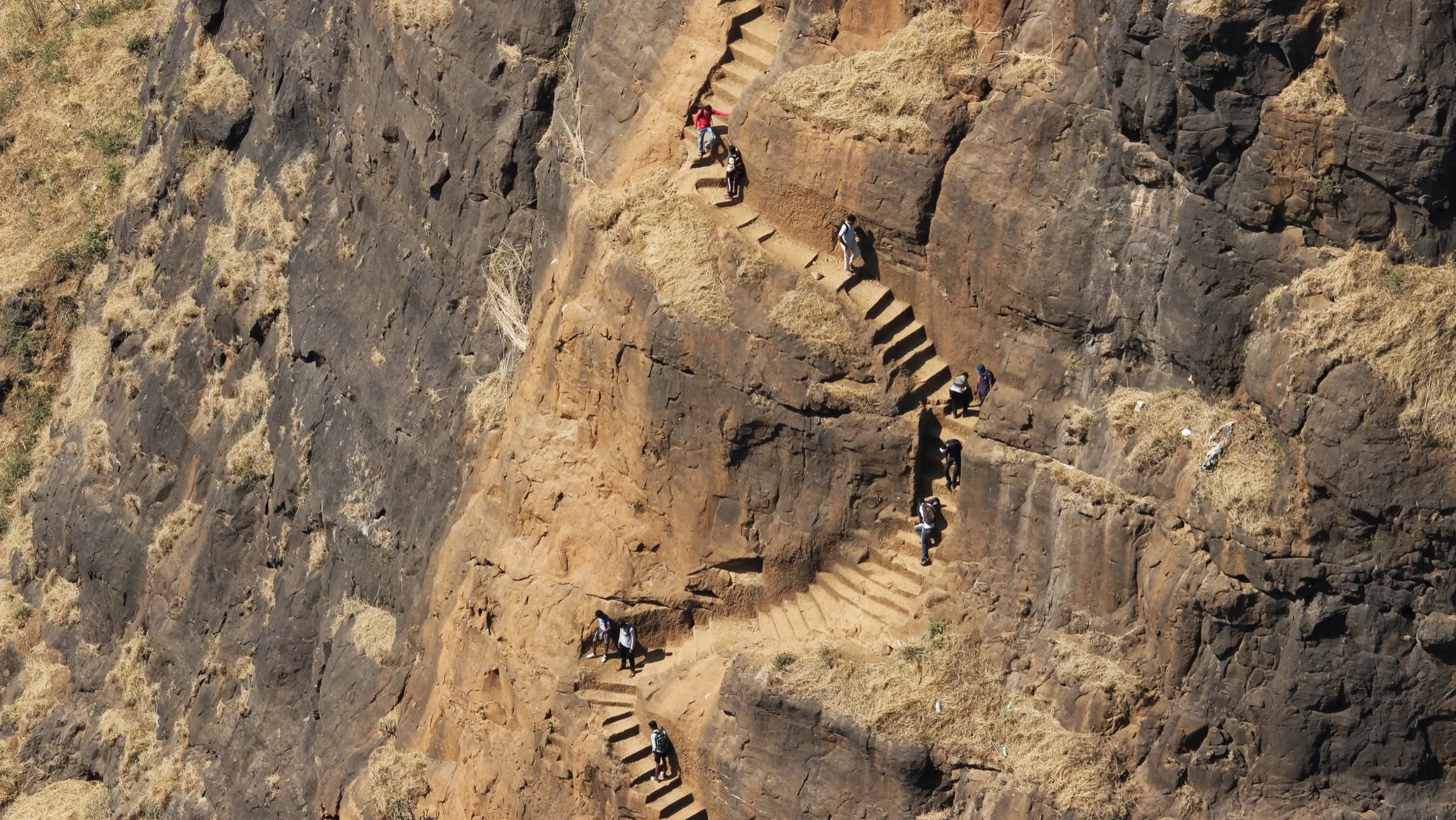
The walk to Pir Machi is a long flight of about 2,600 steps, but the final Balekilla climb crosses broken rock-cut steps and a collapsed 15–20 ft section bridged only by iron pipes, so a rope and climbing experience are needed; one trek guide grades the full climb 'very hard'.
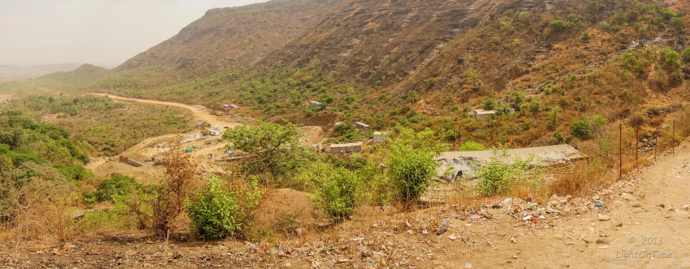
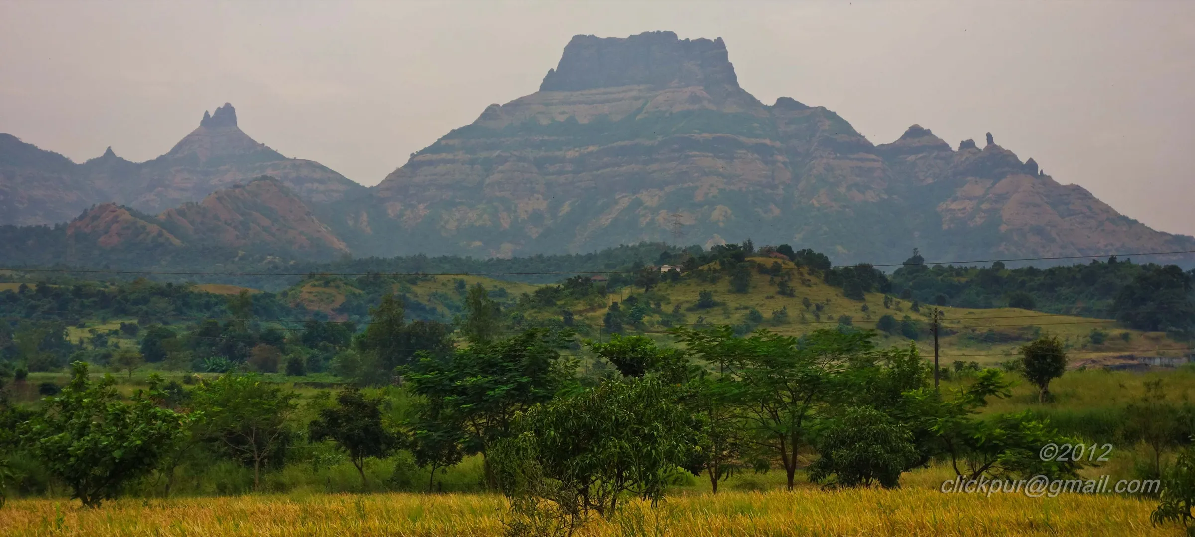
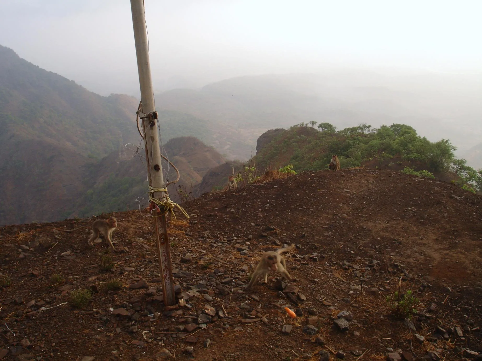
Photos
On the trail
The route
Day by day
Day 1 · highest point
Malangwadi → Malangwadi (via Pir Machi, Sone Machi and the Balekilla top)
80 m → 789 m → 80 m
Ups and downs
Altitude profile
Where it is
Map
Trailhead and high point only — not a recorded track. Use it with a proper map.
Weather
Next 5 days on the trail
Live forecast for the trailhead and the high point. Mountain weather changes fast — check again on the morning you start.
Trailhead · Malangwadi (Haji Malangwadi)
at 80 mLoading forecast…
High point · Malanggad Balekilla
at 789 mLoading forecast…
Each day: high / low °C · rain mm and chance · snow cm · wind km/h
Weather data: Open-Meteo.comModel forecast, not an official warning. For alerts follow IMD and the local administration.
Plan the trip
How to reach
- Trailhead
- Malangwadi (Haji Malangwadi) (nearest town: Kalyan)
- Nearest railway
- Kalyan Junction (Central Railway)
- Nearest airport
- Chhatrapati Shivaji Maharaj International Airport, Mumbai (Navi Mumbai airport is also close)
- By road
- Kalyan (about 15–17 km; KDMT buses from Kalyan ST stand and shared or private rickshaws reach Malangwadi in about an hour); Panvel side: buses to Wavanje village, a quieter route up to Pir Machi
- Drive
- About 2 h from Mumbai
Plan the trip
Permits and fees
We could not confirm the current permit rules and fees from an official source. Check with the local forest department or tourism office before you go.
Plan the trip
Cost
Self-guided
₹150–600
With an operator
₹800–2,000
Per person, ex-Kalyan. Self-guided is an estimate: local train to Kalyan, bus or shared rickshaw to Malangwadi, food and water bought at the stalls on the steps, and a small tip if a local helps you across the broken Balekilla section. We found no current published operator price; the guided range is our estimate of a typical Mumbai trek-group day fee with a technical-support team, and should be checked with the group.
Gear
Top picks for this trek
The gear that matters most on this route, chosen from its altitude, season and risks.
 Ad · affiliate link
 Ad · affiliate link
 Ad · affiliate link
 Ad · affiliate link
 Ad · affiliate link
 Ad · affiliate link
 Ad · affiliate link
 Ad · affiliate link
Store buttons open a search on that store, not a product we picked. As an Amazon Associate we earn from qualifying purchases. Photos show the kind of item, not a specific product. Affiliate disclosure
Packing checklist
Matched to this trek: altitude, season, days and the risks on the route.
Packed 0 of 21
Tick each item as it goes in the bag.
Know before you go
Good to know
- Mobile network
- Mobile signal is generally available on the steps and at Pir Machi, close to Kalyan; it can drop on the upper fort.
- Last ATM
- Kalyan (carry cash for the stalls and buses)
- Nearest hospital
- Kalyan and Dombivli hospitals; Mumbai or Thane for serious cases
- Water
- Stalls on the steps and at Pir Machi sell drinking water. Some rock-cut tanks on Sone Machi and Balekilla hold water until about May–June, but not all are potable; treat any tank water.
Highlights
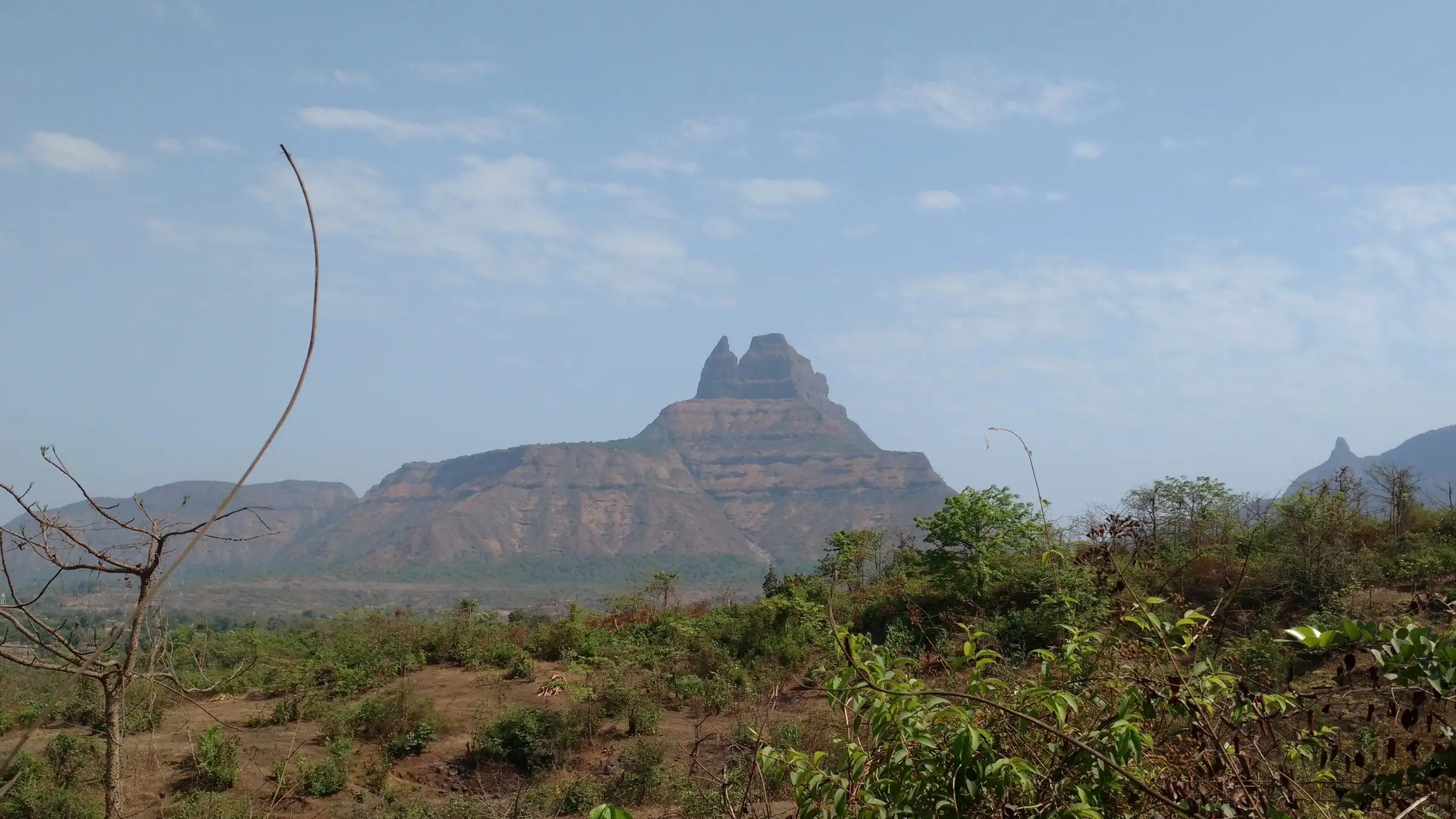
- A three-level fort: the broad Pir Machi plateau, the narrow Sone Machi spur and the steep rock pinnacles of the Balekilla
- Rock-cut steps, bastions, caves and water tanks on Sone Machi and the summit
- Pir Machi holds the shrine of Haji Malang, revered by Muslim devotees and also visited by Hindu devotees as the samadhi of Shri Malang; the district notes a Machhindranath temple on the fort and a yatra on Magh Purnima
- Wide views over the Kalyan–Mumbai plains, Panvel and the Matheran range
Risks
- The Balekilla climb has crumbling rock-cut steps, a 15–20 ft gap where steps have collapsed and are spanned only by iron pipes, and rusted, unreliable chains; carry a rope and go only with experienced climbers. Do not rappel from the old pipe bolts.
- The forest department reportedly removed a villager's pipe-and-rope crossing on the Balekilla after an accident; check the current status of the upper section locally before you climb.
- One guide says avoid the four monsoon months (June–September): the rock and steps become slippery and dangerous.
- The steps and Pir Machi are very crowded on festival days and during the Magh Purnima fair.
- The funicular that opened in January 2026 goes only up to the shrine area; it does not cover the trek to Sone Machi or the Balekilla.
Know before you go
Questions
How long does the Malanggad trek take?
About 1 hour (or 2 hours at an easy pace) up the steps from Malangwadi to Pir Machi, about 30 minutes more to Sone Machi, and another hour or so to the Balekilla top with the rock section. Allow 5–6 hours for the round trip.
Is Malanggad difficult?
The steps to the Pir Machi shrine are tiring but straightforward. The Balekilla top is a different matter: guides call it tough and risky and recommend proper climbing equipment and expert guidance, because of broken steps and a collapsed section bridged by iron pipes.
How do I reach Malanggad from Mumbai?
Take a local train to Kalyan, then a KDMT bus from the Kalyan ST stand or a rickshaw to Malangwadi, about an hour. A quieter route starts from Wavanje on the Panvel side.
Can I take the funicular instead of trekking?
A 1.2 km funicular, inaugurated in January 2026, now takes visitors from the base to the shrine area in about 10 minutes, replacing the climb of nearly 2,600 steps. The fort trek beyond Pir Machi, to Sone Machi and the Balekilla, is still on foot.
When is the best time to visit Malanggad?
September–October to February or March. Avoid the monsoon months, when the rock and steps are slippery, and avoid festival days if you want a quiet climb.
In an emergency
Save these numbers before you lose signal. Tap to call.
- 112All emergenciesIndia’s single emergency number — works in every state
- 108Ambulance
- 1077District disaster control room
You are in
District: Thane (on the Thane–Raigad border)Maharashtra
- Nearest hospital
- Kalyan and Dombivli hospitals; Mumbai or Thane for serious cases
- Last ATM
- Kalyan (carry cash for the stalls and buses)
- Phone network
- Mobile signal is generally available on the steps and at Pir Machi, close to Kalyan; it can drop on the upper fort.
Before you set off
- Tell someone your route and when you will be back.
- Carry a charged phone and a power bank.
- Download an offline map of the route.
- Turn back if the weather turns bad — the mountain will wait.
Questions about Malanggad
No questions yet. Ask something and trekkers who have done it can answer.
Share your trek photo with #TreksAndTrails
I trekked this
Did Malanggad look different from this page? Tell us what changed and we will check it.
Where this comes from
Sources
Last reviewed:
- Places of Interest — Haji Malang Gad — Thane District Administration (NIC) (official)
- Malanggad — Durgbharari
- Malanggad — Trekforts — Trekforts (trip report)
- Malanggad Fort Details — Treks and Trails India (treksandtrails.org)
- Malanggad (peak) — OpenStreetMap
- Malanggad — Wikipedia
- India's Longest Funicular Railway Now Open In Maharashtra; Shri Malanggad Trip Cut To 10 Mins — Curly Tales
Photos: Ccmarathe, CC BY-SA 4.0; Nilesh Karia, CC BY 2.0; Nilesh Karia, CC BY 2.0; Pradeep717, CC BY-SA 4.0