Laitlum Canyon Trek
East Khasi Hills, Meghalaya
Opens without signal on this phone, with the map file and checklist. Saved for offline →
- Max altitude
- 1,770 m
- Days
- 1 day
- Distance
- 2.2 km
- Difficulty
- Moderate
Only about 1 km each way on the map, but it is a stone stairway of roughly 3,000 steps dropping about 580 m to Rasong; the climb back up to the rim is steep and tiring, and sources call it hard for unfit walkers.
Photos
On the trail
The route
Day by day
Day 1 · highest point
Laitlum → Laitlum (via Rasong village)
1,770 m → 1,770 m
Ups and downs
Altitude profile
Where it is
Map
Trailhead and high point only — not a recorded track. Use it with a proper map.
Weather
Next 5 days on the trail
Live forecast for the trailhead and the high point. Mountain weather changes fast — check again on the morning you start.
Trailhead · Laitlum
at 1,770 mLoading forecast…
High point · Laitlum Canyon viewpoint (trailhead)
at 1,770 mLoading forecast…
Each day: high / low °C · rain mm and chance · snow cm · wind km/h
Weather data: Open-Meteo.comModel forecast, not an official warning. For alerts follow IMD and the local administration.
Plan the trip
How to reach
- Trailhead
- Laitlum (nearest town: Smit)
- Nearest railway
- Guwahati
- Nearest airport
- Shillong Airport (Umroi), about 33 km; Guwahati (Lokpriya Gopinath Bordoloi International Airport) has more flights
- By road
- Shillong, about 22–25 km by taxi via Smit to the end of Unmed Road (the last motorable point); Smit, about 5 km and a 15-minute drive
- Drive
- About 1 h from Shillong
Plan the trip
Permits and fees
We could not confirm the current permit rules and fees from an official source. Check with the local forest department or tourism office before you go.
Plan the trip
Cost
Self-guided
₹500–1,500
With an operator
₹1,000–3,000
Per person, ex-Shillong. No operator publishes a package price for the Laitlum–Rasong walk, so both ranges are estimates. Self-guided: a Shillong–Laitlum return taxi (reported ₹1,200–1,400 per car by darjeeling-tourism.com, shared between 2–4 people) plus a small entry/parking fee (HI DMC reports about ₹50). Guided: the same plus a local guide, which Meghalaya Tourism advises arranging; guide rates were not published and must be agreed locally.
Gear
Top picks for this trek
The gear that matters most on this route, chosen from its altitude, season and risks.
 Ad · affiliate link
 Ad · affiliate link
 Ad · affiliate link
 Ad · affiliate link
 Ad · affiliate link
 Ad · affiliate link
 Ad · affiliate link
 Ad · affiliate link
Store buttons open a search on that store, not a product we picked. As an Amazon Associate we earn from qualifying purchases. Photos show the kind of item, not a specific product. Affiliate disclosure
Packing checklist
Matched to this trek: altitude, season, days and the risks on the route.
Packed 0 of 20
Tick each item as it goes in the bag.
Know before you go
Good to know
- Mobile network
- Not confirmed by our sources; expect signal on the rim near Smit and weak or none deep in the valley
- Last ATM
- Shillong; no ATM was reported at Laitlum or Rasong, so carry cash
- Nearest hospital
- Shillong (about 25 km)
- Water
- No reliable water source was reported on the stairway; carry 1–2 litres per person from Shillong or Smit
Highlights
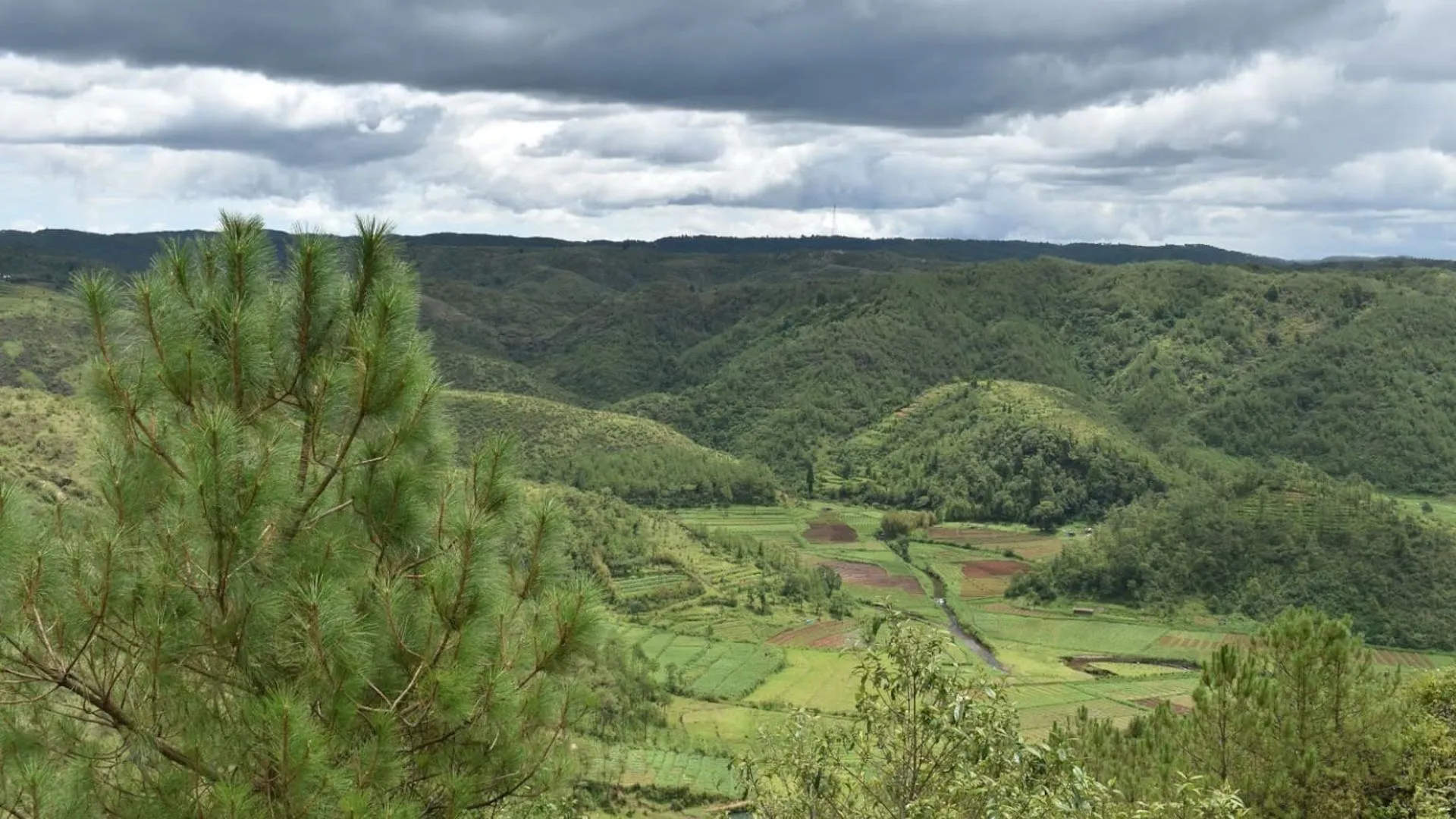
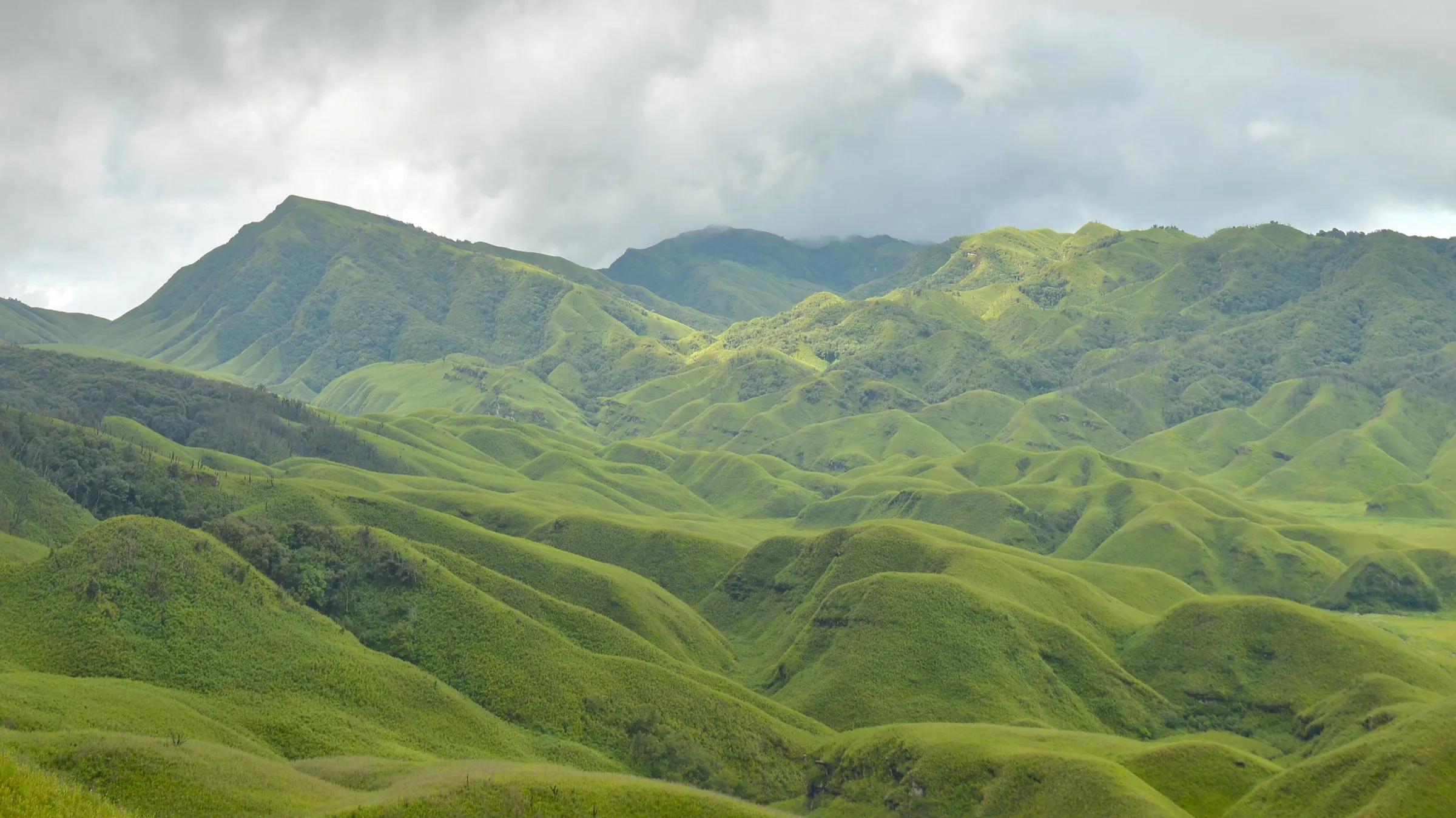
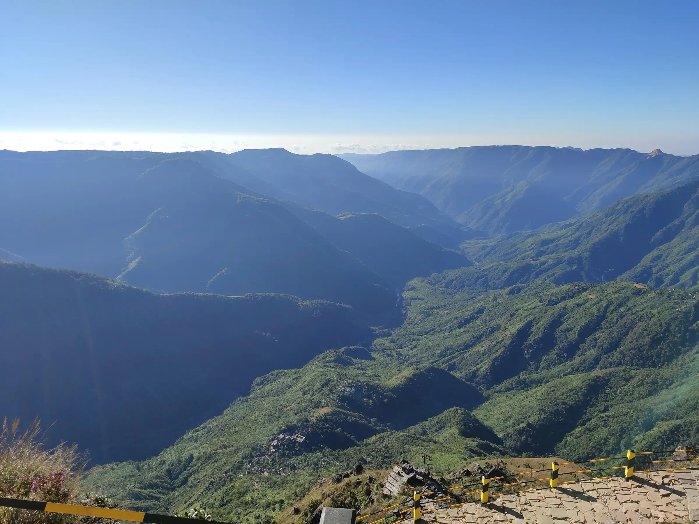
- Sweeping views from the Laitlum rim ("end of the hills" in Khasi) over deep, forested gorges of the East Khasi Hills
- A stairway of about 3,000 stone steps hewn into the hillside down to Rasong, a village of about 300 people reachable only on foot
- Rasong's old ropeway pulley, still used to haul broom grass and goods up to the rim
- Open grassy plateau at the top, with sunrise and sunset views and fog rolling through the valley
Risks
- The climb back up some 3,000 steps (about 580 m of ascent) is much harder than the descent; start early and allow 2–3 hours for the return
- June to September monsoon makes the steps slippery and fog hides the views; TravelTriangle and the OYO guide advise against the hike then, though it is not formally closed
- Fog often fills the canyon; be off the trail well before 5 pm (OYO travel guide) as there is no lighting
- Sources disagree on the number of steps (about 3,000 in most, about 6,000 in The Land of Wanderlust and Indianetzone)
- There are no railings on long stretches below the viewpoint; keep children close near the cliff edge
Know before you go
Questions
How many steps are there from Laitlum to Rasong village?
Most sources (The Better India, JustWravel, darjeeling-tourism.com, the OYO travel guide) say about 3,000 stone steps; two say close to 6,000. On the map the stairway is about 1 km each way, dropping roughly 580 m.
How long does the Laitlum to Rasong trek take?
TravelTriangle gives 4–5 hours for the Rasong trek, down and back. The descent is quick; most of the time goes on the climb back up to the rim.
What is the best time to visit Laitlum Canyon?
October to March for clear skies (JustWravel, HI DMC); Meghalaya Tourism extends the window to May. June to September is the monsoon, when the steps are slippery and fog often hides the canyon.
How far is Laitlum Canyon from Shillong and how do I get there?
About 22–25 km. There is no direct bus, so take a taxi from Shillong via Smit to the end of Unmed Road, the last motorable point, about an hour's drive.
Is there an entry fee or permit?
No trekking permit is needed. HI DMC reports an entry fee of about ₹50; we could not confirm it from an official source, so carry cash and check on arrival.
In an emergency
Save these numbers before you lose signal. Tap to call.
- 112All emergenciesIndia’s single emergency number — works in every state
- 108Ambulance
- 1077District disaster control room
You are in
District: East Khasi HillsMeghalaya
- Nearest hospital
- Shillong (about 25 km)
- Last ATM
- Shillong; no ATM was reported at Laitlum or Rasong, so carry cash
- Phone network
- Not confirmed by our sources; expect signal on the rim near Smit and weak or none deep in the valley
Before you set off
- Tell someone your route and when you will be back.
- Carry a charged phone and a power bank.
- Download an offline map of the route.
- Turn back if the weather turns bad — the mountain will wait.
Questions about Laitlum Canyon
No questions yet. Ask something and trekkers who have done it can answer.
Share your trek photo with #TreksAndTrails
I trekked this
Did Laitlum Canyon look different from this page? Tell us what changed and we will check it.
Where this comes from
Sources
Last reviewed:
- Laitlum - Meghalaya Tourism — Meghalaya Tourism (official)
- Laitlum Canyons – The Grand Canyon of Meghalaya — JustWravel
- Explore Laitlum Canyon For Tranquil Beauty Of Meghalaya To Explore In 2026 — TravelTriangle
- Trekking Through Meghalaya: From Laitlum Canyon to Nokrek — HI DMC
- 6 Reasons Why You Should Visit Laitlum Canyon, Shillong — OYO Travel Guide
- Laitlum Canyons: Take a Trip into the Heart of Meghalaya's Natural Wonder — The Better India
- Laitlum Canyon, Shillong — darjeeling-tourism.com
Photos: ANKAN, CC BY-SA 4.0; ANKAN, CC BY-SA 4.0; Medhi jyoti, CC BY 4.0