Dzükou Valley Trek
Opens without signal on this phone, with the map file and checklist. Saved for offline →
- Max altitude
- 2,452 m
- Days
- 2 days
- Distance
- 32 km
- Difficulty
- Moderate
A steep climb through bamboo from the Viswema road-head and a long, steep descent of stone steps to Jakhama; the valley itself is gentle grassland.
Photos
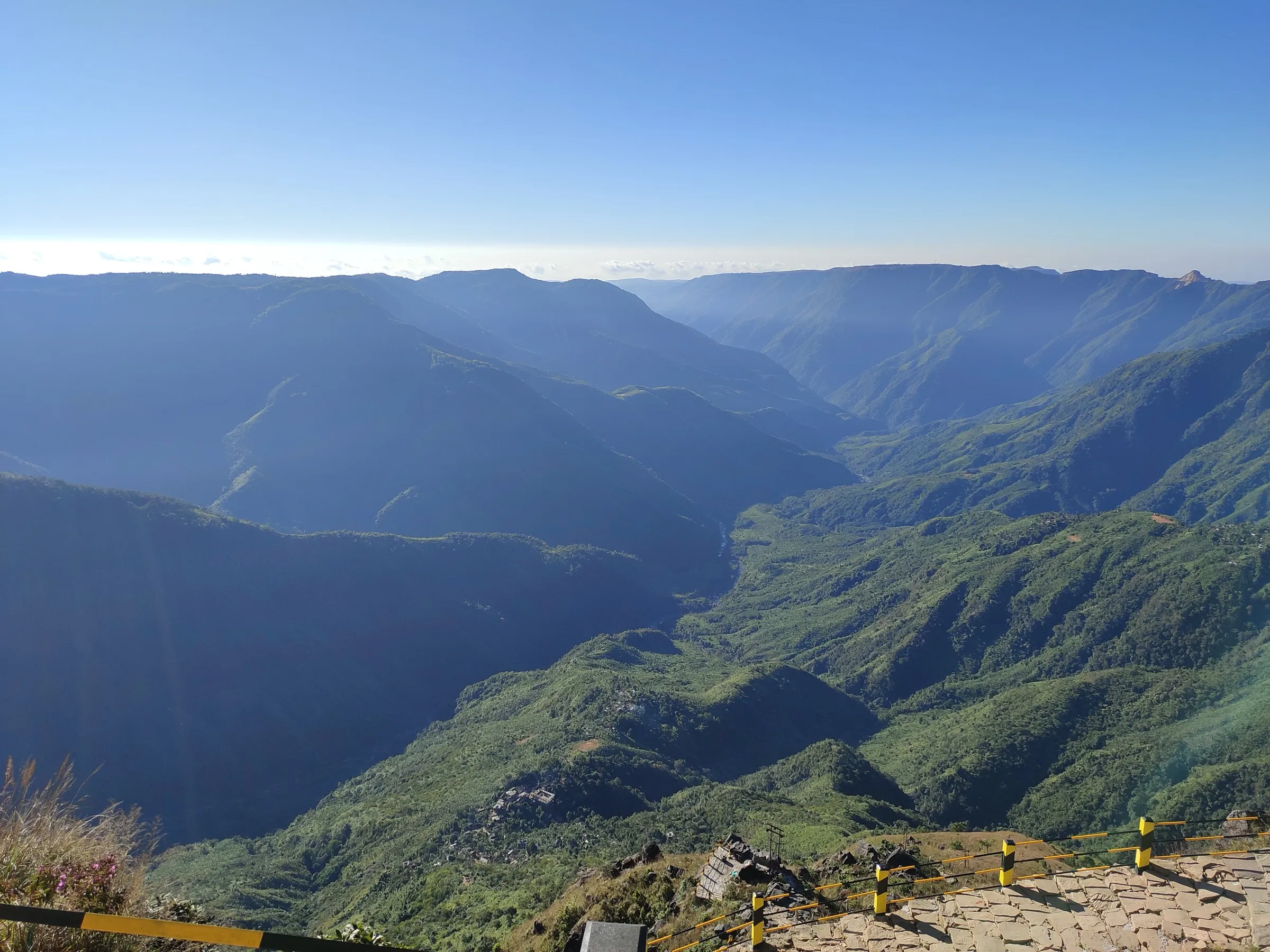
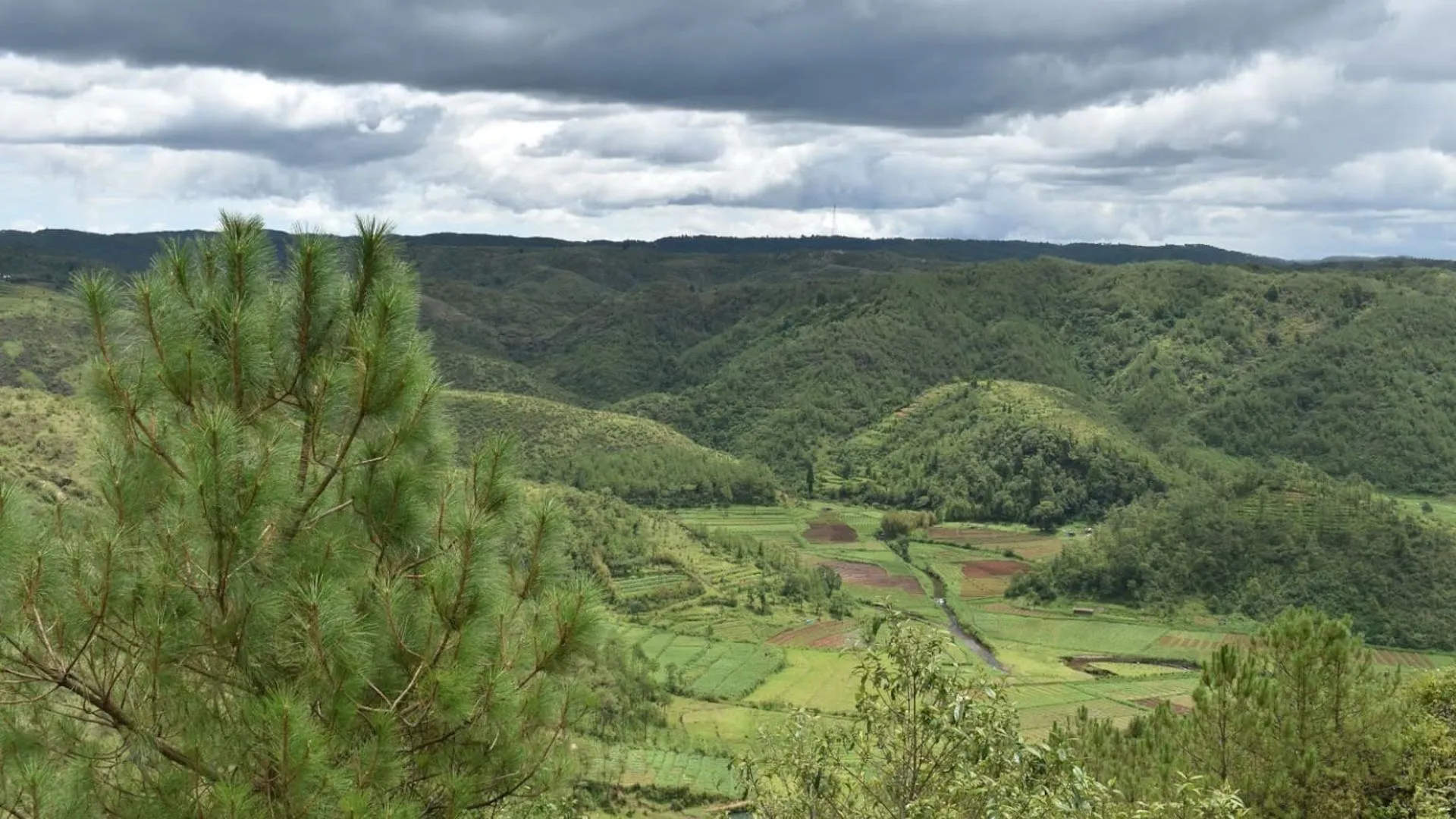
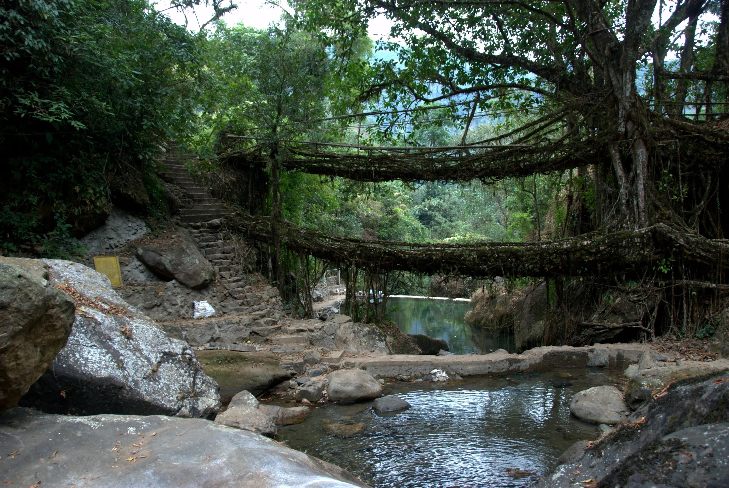
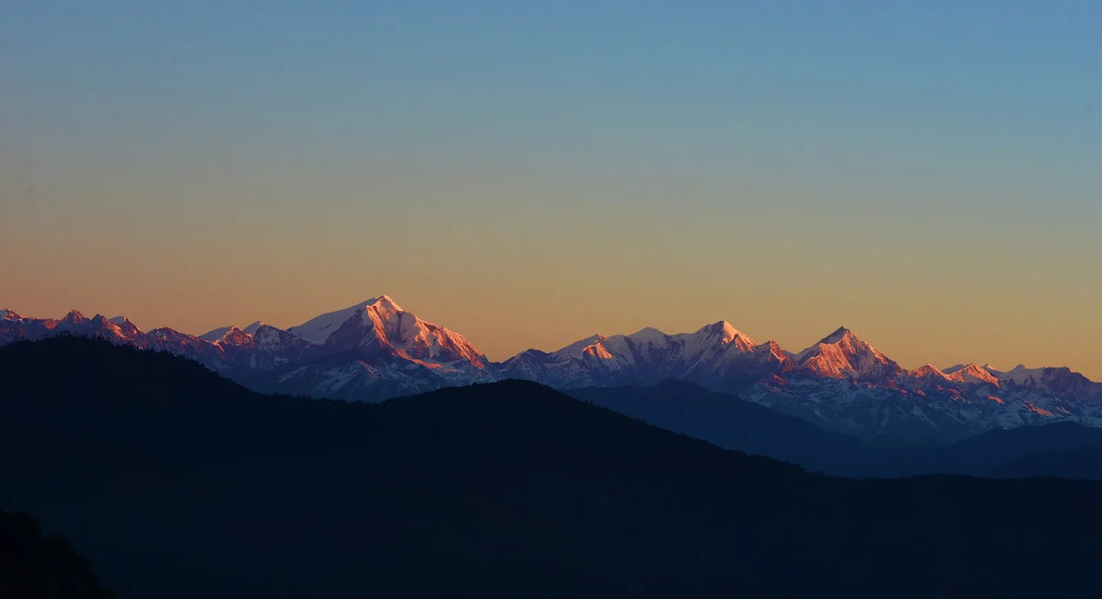
On the trail
The route
Day by day
Day 1 · highest point
Viswema → Dzükou Valley guest house
1,631 m → 2,452 m
Day 2
Dzükou Valley guest house → Jakhama
2,452 m → 1,606 m
Ups and downs
Altitude profile
Where it is
Map
Trailhead and high point only — not a recorded track. Use it with a proper map.
Weather
Next 5 days on the trail
Live forecast for the trailhead and the high point. Mountain weather changes fast — check again on the morning you start.
Trailhead · Viswema
at 1,631 mLoading forecast…
High point · Dzükou Valley
at 2,452 mLoading forecast…
Each day: high / low °C · rain mm and chance · snow cm · wind km/h
Weather data: Open-Meteo.comModel forecast, not an official warning. For alerts follow IMD and the local administration.
Plan the trip
How to reach
- Trailhead
- Viswema (nearest town: Kohima)
- Nearest railway
- Dimapur
- Nearest airport
- Dimapur Airport
- By road
- Kohima (about 25 km to Viswema, about 20 km to Jakhama); Dimapur via Kohima on NH-2
- Drive
- About 4 h from Dimapur
Plan the trip
Permits and fees
We could not confirm the current permit rules and fees from an official source. Check with the local forest department or tourism office before you go.
Plan the trip
Cost
Self-guided
₹2,500–5,000
With an operator
₹4,950–8,250
Per person, ex-Kohima. Guided range from Muddie Trails (2D/1N, ₹4,950–8,250 + 5% GST by group size) and Eastern Green Tours (₹7,000, 3D/2N ex-Kohima). Self-guided is an estimate: taxi to the road-head, the mandatory local guide, registration, dorm or campsite fee and meals. Inner Line Permit and valley fees are extra; check them locally.
Gear
Top picks for this trek
The gear that matters most on this route, chosen from its altitude, season and risks.
 Ad · affiliate link
 Ad · affiliate link
 Ad · affiliate link
 Ad · affiliate link
 Ad · affiliate link
- Ad · affiliate link
 Ad · affiliate link
 Ad · affiliate link
Store buttons open a search on that store, not a product we picked. As an Amazon Associate we earn from qualifying purchases. Photos show the kind of item, not a specific product. Affiliate disclosure
Packing checklist
Matched to this trek: altitude, season, days and the risks on the route.
Packed 0 of 24
Monsoon months (Jun, Sep): pack everything in plastic or a dry bag and wear shoes with good grip.
Tick each item as it goes in the bag.
Know before you go
Good to know
- Mobile network
- No signal in the valley; trekkers climb to the watch tower above the guest house to make calls
- Last ATM
- Kohima
- Nearest hospital
- Kohima (district headquarters)
- Water
- Reservoir and stream at the guest house; carry your own water on the climb
Highlights
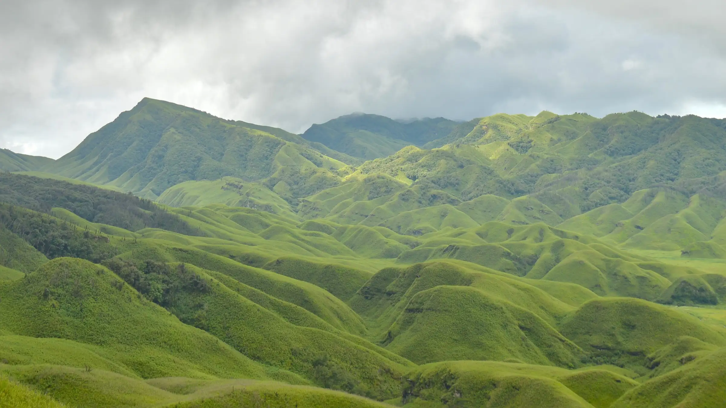
- Rolling bamboo-grass hills of the Dzükou basin on the Nagaland–Manipur border
- Pink Dzükou lily and other wildflowers in May and June
- Up through Viswema and down through Jakhama for two different trails
- Frost and occasional snow on the valley floor in mid-winter
Risks
- Wildfires: the valley burned in 2006, 2018, 2020–21, December 2025 and January 2026, and trekking was suspended during the 2026 fire. Never light fires and check the current status with the Southern Angami Youth Organisation (SAYO) before you go
- Monsoon (July–September) brings slippery, muddy trails and leeches
- No phone signal in the valley
- Late starts are refused: no trekking after 3 pm in winter (October–March) or 4 pm in summer (April–September)
Know before you go
Questions
Do I need a permit to trek to Dzükou Valley?
Indian visitors need a Nagaland Inner Line Permit (ILP), which you apply for online at ilp.nagaland.gov.in. A registration or entry fee is also collected on the trail. Fees change, so check current amounts locally.
Is a guide compulsory?
Yes. Since 1 October 2025 the Southern Angami Youth Organisation has made a local tourist guide mandatory, and trekkers without one are turned back.
Which route is easier, Viswema or Jakhama?
Viswema is generally the gentler way up after the first steep section from the road-head. Jakhama is steeper, with many stone steps, so many trekkers go up through Viswema and come down through Jakhama.
When do the Dzükou lilies bloom?
The pink Dzükou lily flowers in May and June. Wildflowers carpet the valley from May to September.
Where do I stay in the valley?
There is a guest house run by the Government of Nagaland with dormitories, cottages and camping space. Bedding and meals cost extra.
In an emergency
Save these numbers before you lose signal. Tap to call.
- 112All emergenciesIndia’s single emergency number — works in every state
- 108Ambulance
- 1077District disaster control room
You are in
District: KohimaNagaland · Manipur
- Nearest hospital
- Kohima (district headquarters)
- Last ATM
- Kohima
- Phone network
- No signal in the valley; trekkers climb to the watch tower above the guest house to make calls
Before you set off
- Tell someone your route and when you will be back.
- Carry a charged phone and a power bank.
- Download an offline map of the route.
- Turn back if the weather turns bad — the mountain will wait.
Questions about Dzükou Valley
No questions yet. Ask something and trekkers who have done it can answer.
Share your trek photo with #TreksAndTrails
I trekked this
Did Dzükou Valley look different from this page? Tell us what changed and we will check it.
Where this comes from
Sources
Last reviewed:
- Dzüko Valley — Wikipedia
- Dzukou Valley, Nagaland: guide to the hidden valley — Incredible India (Ministry of Tourism, Government of India) (official)
- Dzükou Valley Trek: Your Ultimate Guide — Jessie on a Journey
- New Dzukou trekking route inaugurated — Eastern Mirror
- SAYO reopens Dzükou Valley trekking with mandatory guide rule — Eastern Mirror
- Dzukou Valley Trek (2D/1N) — Muddie Trails
- Dzukou Valley Trek (Eastern Green Tours, Kohima) — Eastern Green Tours
- Dzukou Valley Trek — Bikat Adventures
Photos: Samudra Bikash Hazarika (derivative by UnpetitproleX), Wikimedia Commons, CC BY-SA 4.0; পাপৰি বৰা, Wikimedia Commons, CC BY-SA 4.0; পাপৰি বৰা, Wikimedia Commons, CC BY-SA 4.0; Ganesh Mohan T, Wikimedia Commons, CC BY-SA 4.0