Kunjapuri Trek
Tehri Garhwal, Uttarakhand
Opens without signal on this phone, with the map file and checklist. Saved for offline →
- Max altitude
- 1,676 m
- Days
- 1 day
- Distance
- 9 km
- Difficulty
- Moderate
Operators summarise it as easy (Himalayan Dream Treks' own overview and FAQ say easy to moderate and moderate), and the village and forest path is non-technical, but it climbs about 1,300 m in 8-9 km from Tapovan to the temple, a steady 4-6 hour uphill push; most people return by road.
Photos
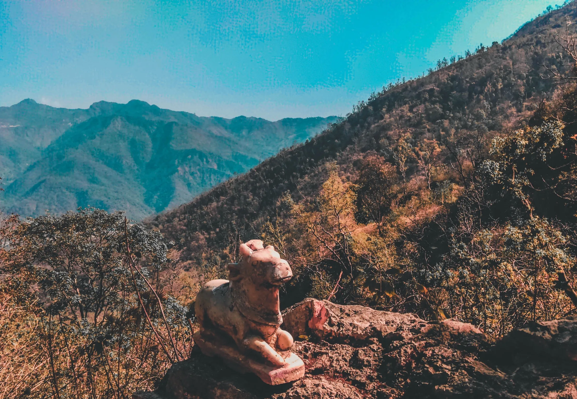
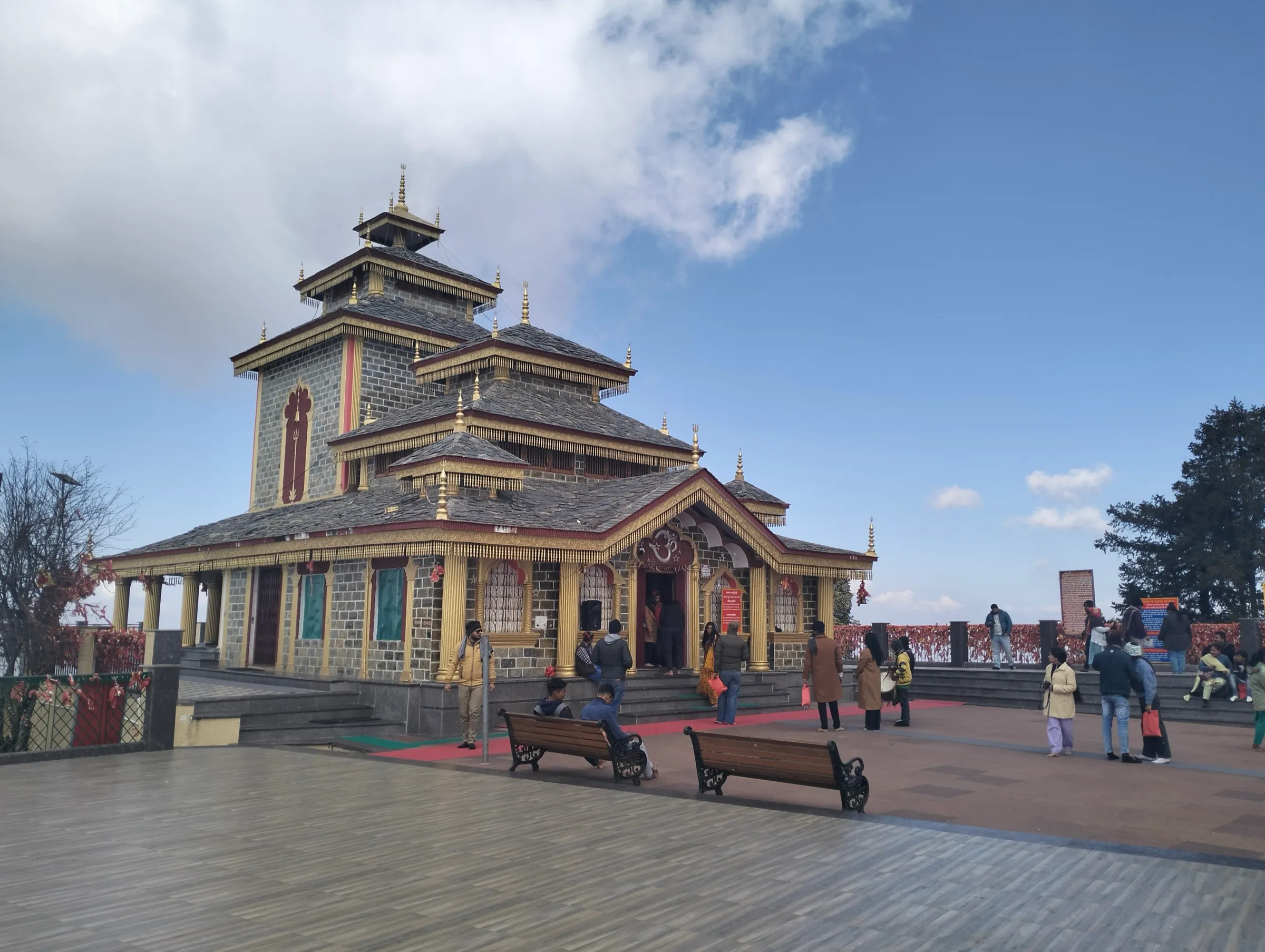
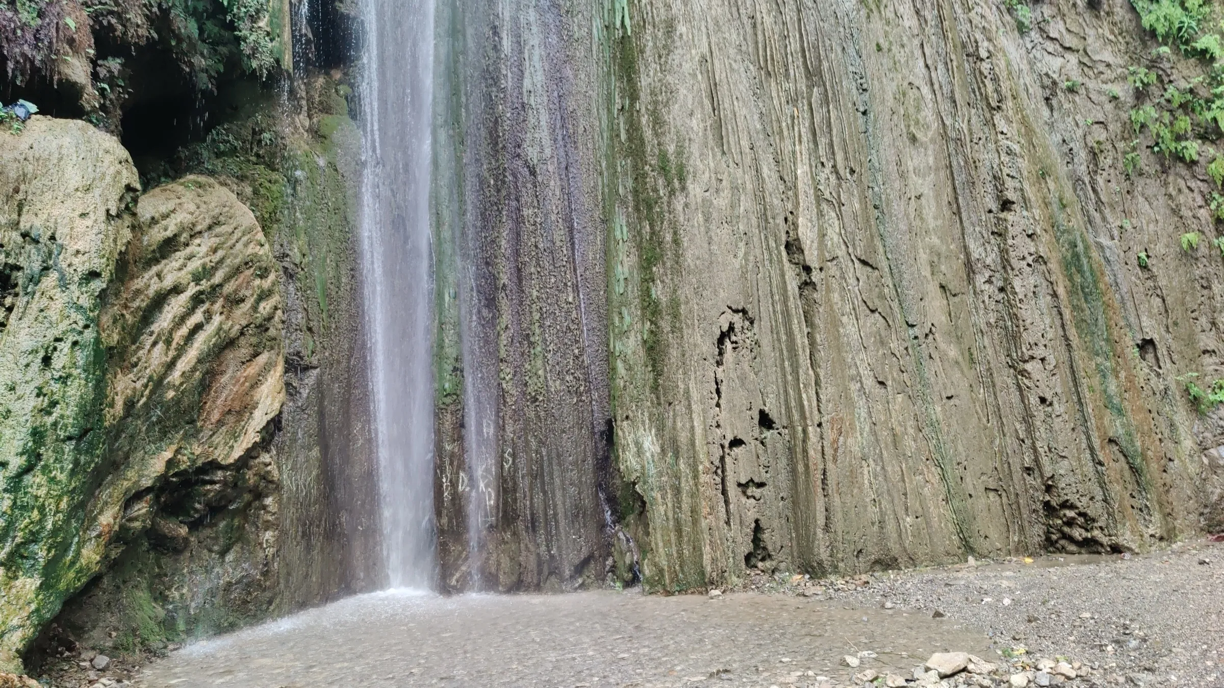
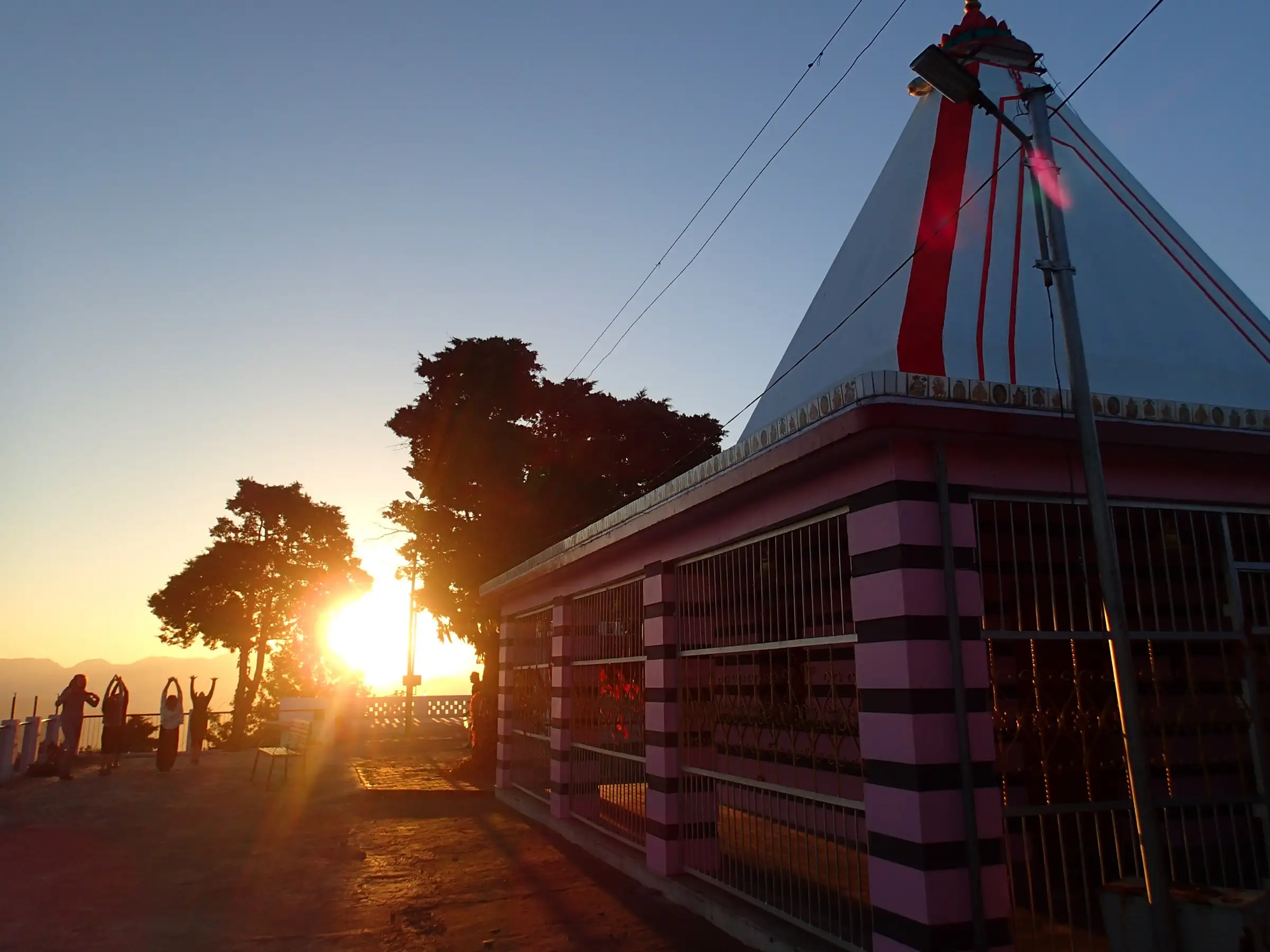
On the trail
The route
Day by day
Day 1 · highest point
Tapovan, Rishikesh → Kunjapuri Devi Temple (return by road)
340 m → 1,676 m
Ups and downs
Altitude profile
Where it is
Map
Trailhead and high point only — not a recorded track. Use it with a proper map.
Weather
Next 5 days on the trail
Live forecast for the trailhead and the high point. Mountain weather changes fast — check again on the morning you start.
Trailhead · Tapovan, Rishikesh
at 340 mLoading forecast…
High point · Kunjapuri Devi Temple
at 1,676 mLoading forecast…
Each day: high / low °C · rain mm and chance · snow cm · wind km/h
Weather data: Open-Meteo.comModel forecast, not an official warning. For alerts follow IMD and the local administration.
Plan the trip
How to reach
- Trailhead
- Tapovan, Rishikesh
- Nearest railway
- Rishikesh
- Nearest airport
- Jolly Grant Airport, Dehradun
- By road
- Rishikesh town to Tapovan (about 5 km by auto or taxi); Rishikesh to Kunjapuri temple car park by road via Narendranagar and Hindolakhal (about 25-30 km, 1 h) for the return or a drive-up
- Drive
- About 1.5 h from Dehradun
Plan the trip
Permits and fees
We could not confirm the current permit rules and fees from an official source. Check with the local forest department or tourism office before you go.
Plan the trip
Cost
Self-guided
₹300–2,500
With an operator
₹4,200–6,500
Per person for a day hike, ex-Rishikesh. Guided prices seen October 2026: Himalayan Dream Treks ₹4,000 + 5% GST (Rishikesh to Rishikesh, forest fees included); Japam Yoga Treks' Kunjapuri Yoga Day Hike sold on Travelocity at about US$74 (roughly ₹6,200) with transport, breakfast at the temple and lunch in Tapovan. Self-guided is an estimate: auto to Tapovan, snacks and chai at the temple, and a shared or private taxi back down from the temple car park.
Gear
Top picks for this trek
The gear that matters most on this route, chosen from its altitude, season and risks.
 Ad · affiliate link
 Ad · affiliate link
 Ad · affiliate link
 Ad · affiliate link
 Ad · affiliate link
- Ad · affiliate link
 Ad · affiliate link
 Ad · affiliate link
Store buttons open a search on that store, not a product we picked. As an Amazon Associate we earn from qualifying purchases. Photos show the kind of item, not a specific product. Affiliate disclosure
Packing checklist
Matched to this trek: altitude, season, days and the risks on the route.
Packed 0 of 24
Monsoon months (Sep): pack everything in plastic or a dry bag and wear shoes with good grip.
Tick each item as it goes in the bag.
Know before you go
Good to know
- Mobile network
- Mobile signal in Rishikesh and at the temple car park on the motor road; not confirmed for the forest stretch, so do not rely on it.
- Last ATM
- Tapovan / Laxman Jhula, Rishikesh
- Nearest hospital
- AIIMS Rishikesh for serious cases; Narendranagar for first care
- Water
- The stream at Neer Garh waterfall low on the route and tea stalls at the temple; carry at least 2 litres for the climb and treat stream water.
Highlights
- Darshan of Kunjapuri Devi, revered as a Shakti Peeth and one of the three Devi shrines of Tehri with Surkanda Devi and Chandrabadni
- Sunrise over the Himalayan snow ranges, including Swargarohini, Gangotri, Bandarpoonch and Chaukhamba, with the Doon and Bhagirathi valleys below
- A village and forest path out of Tapovan past Neer Garh waterfall, where many walkers stop for a dip on the way down
- Large gatherings of devotees during Navratri
Risks
- In the July-August monsoon the trail is very slippery; operators advise driving up instead of trekking then.
- The climb gains about 1,300 m with little shade on the upper stretch; start early and carry water, especially from April to June.
- Sunrise visits mean walking or driving in the dark from about 4 am; carry a headlamp.
- The final approach from the car park is a flight of steep steps; reports range from about 80 to 312 steps.
Know before you go
Questions
How long is the Kunjapuri trek and where does it start?
The usual trail starts at Tapovan in Rishikesh and climbs about 8-9 km to the temple in 4-6 hours, passing near Neer Garh waterfall. Many people do it the other way: drive up for sunrise and walk 8-9 km down to Tapovan. The Tehri district page also describes a shorter forest walk of about 5 km from Hindolakhal village.
Can I drive to Kunjapuri temple instead?
Yes. A motor road reaches a car park below the temple via Narendranagar and Hindolakhal, about 25-30 km and an hour from Rishikesh. From there a flight of steps leads up to the temple.
What is the best time to visit Kunjapuri?
The temple is visited all year. October to March gives the clearest views of the snow ranges at sunrise; avoid trekking in the July-August monsoon, when the path is slippery. Navratri brings large crowds of devotees.
Why is Kunjapuri a Shakti Peeth?
When Mata Sati gave up her body at Daksha's yajna and Bhagwan Shiva carried her through the Himalayas, parts of her sacred body fell at the places now worshipped as Shakti Peeths. At Kunjapuri, the temple tradition holds, her chest (kunj) fell. The Tehri district page records it as one of the thirteen Shakti Peethas of the Shivalik range and, with Surkanda Devi and Chandrabadni, one of three in Tehri established by Jagadguru Shankaracharya.
Do I need a permit for the Kunjapuri trek?
No separate trek permit is published. Himalayan Dream Treks says forest entry fees are included in its package and asks for a government ID, so self-guided walkers should check locally.
In an emergency
Save these numbers before you lose signal. Tap to call.
- 112All emergenciesIndia’s single emergency number — works in every state
- 108Ambulance
- 1077District disaster control room
You are in
District: Tehri GarhwalUttarakhand
- Nearest hospital
- AIIMS Rishikesh for serious cases; Narendranagar for first care
- Last ATM
- Tapovan / Laxman Jhula, Rishikesh
- Phone network
- Mobile signal in Rishikesh and at the temple car park on the motor road; not confirmed for the forest stretch, so do not rely on it.
Before you set off
- Tell someone your route and when you will be back.
- Carry a charged phone and a power bank.
- Download an offline map of the route.
- Turn back if the weather turns bad — the mountain will wait.
Questions about Kunjapuri
No questions yet. Ask something and trekkers who have done it can answer.
Share your trek photo with #TreksAndTrails
I trekked this
Did Kunjapuri look different from this page? Tell us what changed and we will check it.
Where this comes from
Sources
Last reviewed:
- Kunjapuri | District Tehri Garhwal, Government of Uttarakhand — District Administration Tehri Garhwal (official)
- Kunjapuri Temple Trek — Himalaya Shelter
- Kunjapuri Temple Trek — Himalayan Dream Treks
- Kunjapuri Devi Temple, Rishikesh, Uttarakhand — Culture and Heritage
- Kunjapuri Day Hike (Japam Yoga Treks) — Japam Yoga Treks
Photos: Travel & Shit from Brighton, UK, CC BY-SA 2.0; Wittystef, CC BY-SA 4.0