Kumbhalgarh to Ranakpur Trek
Rajsamand, Rajasthan
Opens without signal on this phone, with the map file and checklist. Saved for offline →
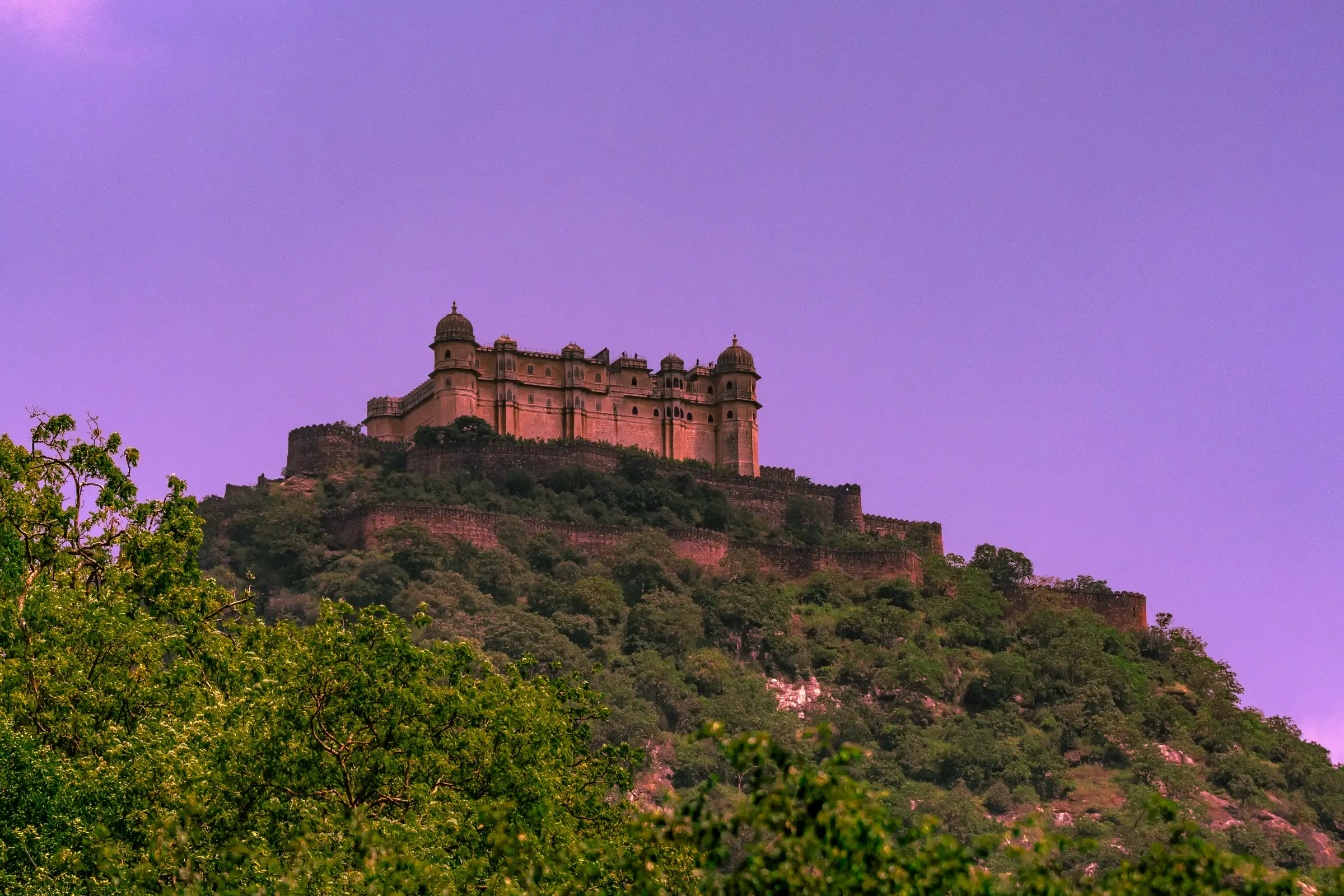
- Max altitude
- 1,100 m
- Days
- 1 day
- Distance
- 16 km
- Difficulty
- Moderate
Operators quote 10 to 18 km on forest tracks through the Aravalli hills, starting with a few kilometres of descent and then mixing uphill, downhill and flat stretches; heat and distance are the main effort.
About this trek
Kumbhalgarh to Ranakpur
A one-day forest walk from Kumbhalgarh towards the Jain temples of Ranakpur on the Aravalli range, starting at Foota Deval. Operators describe a descent for the first few kilometres, then a mix of uphill, downhill and flat stretches through a forest reserve, passing an old Shiva temple and a tribal settlement. It ends at Ranakpur, whose 12th-century white marble temples rest on 1,444 pillars. Distances quoted range from about 10 to 18 km, and it suits regular walkers.
Photos
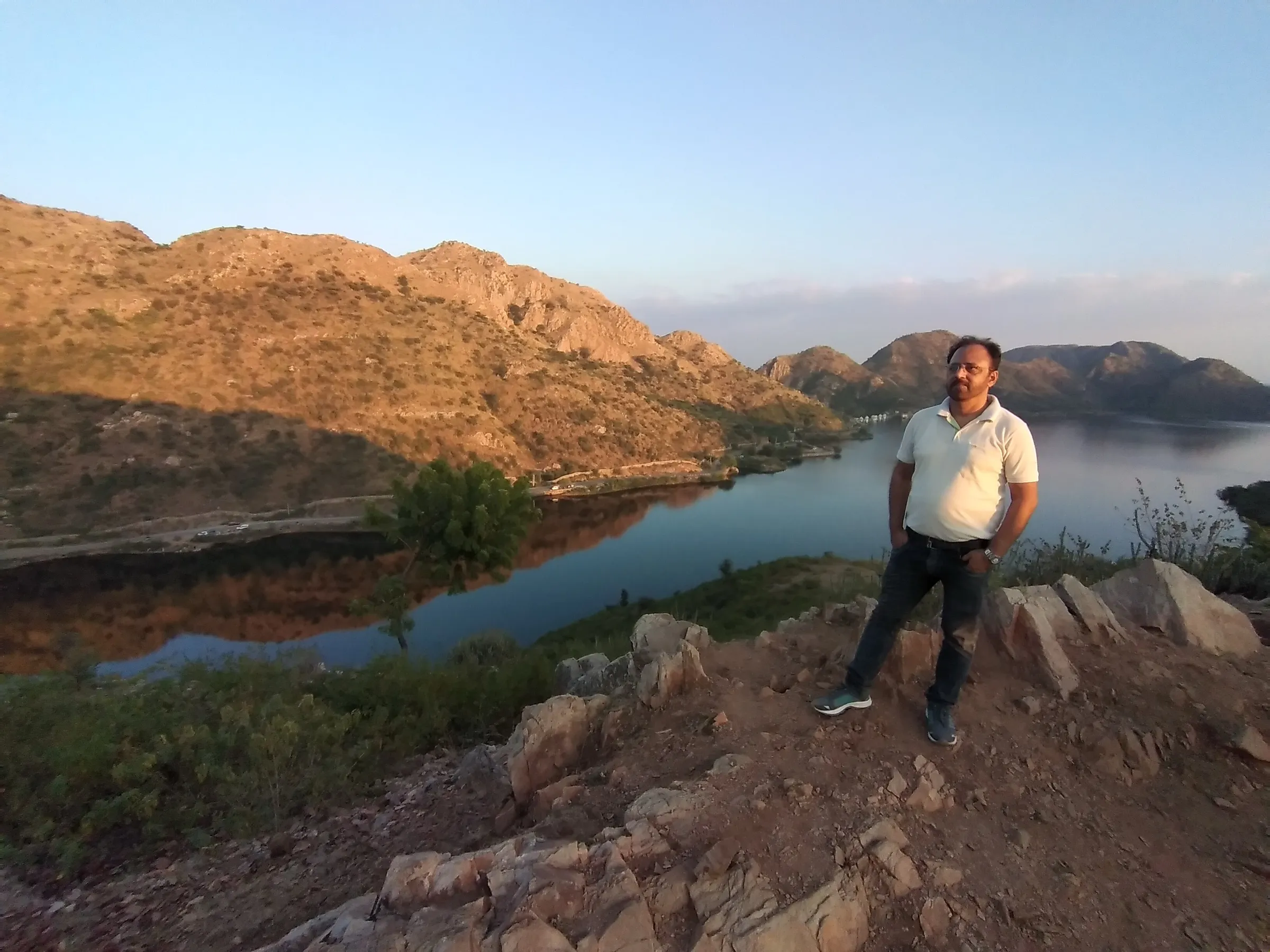
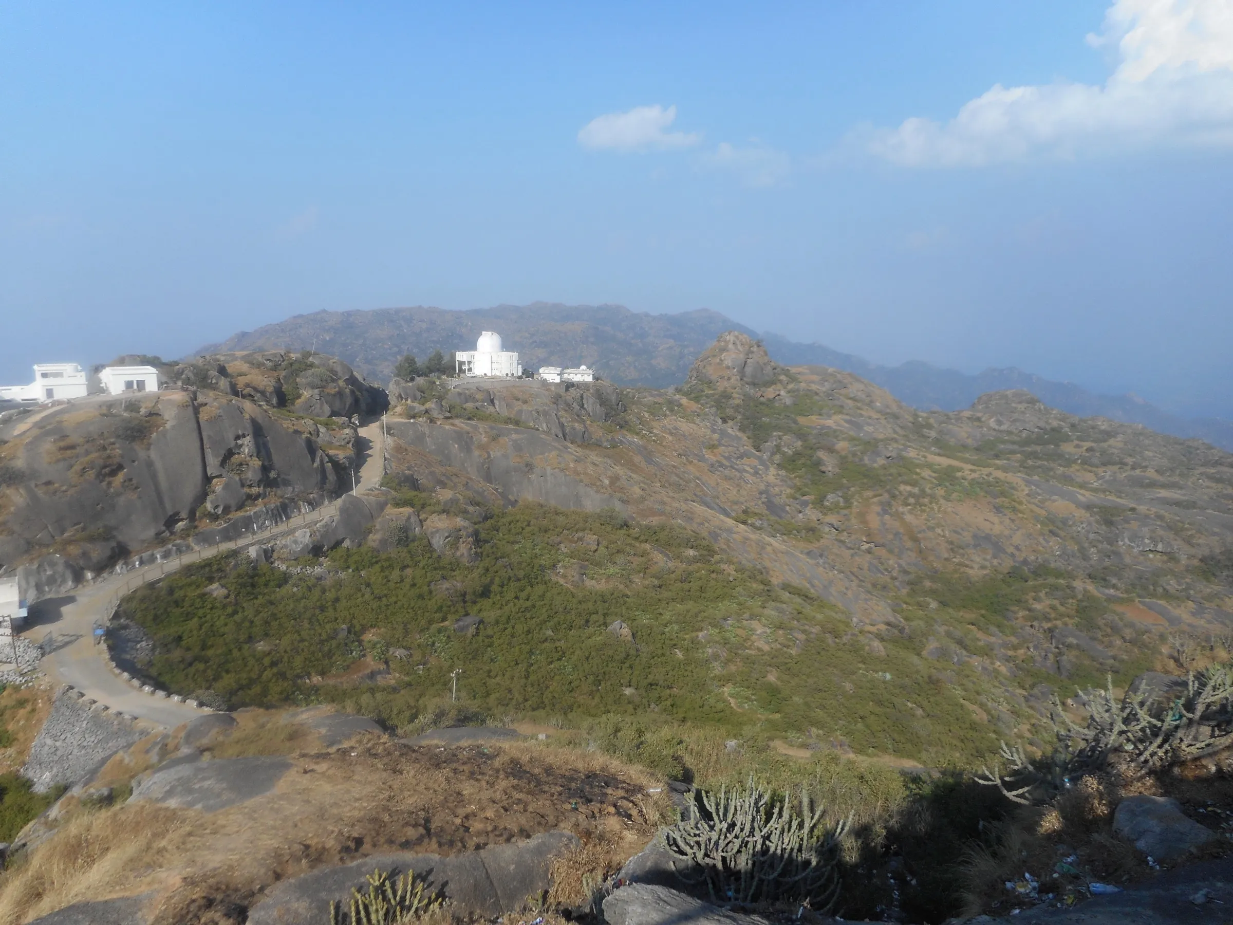
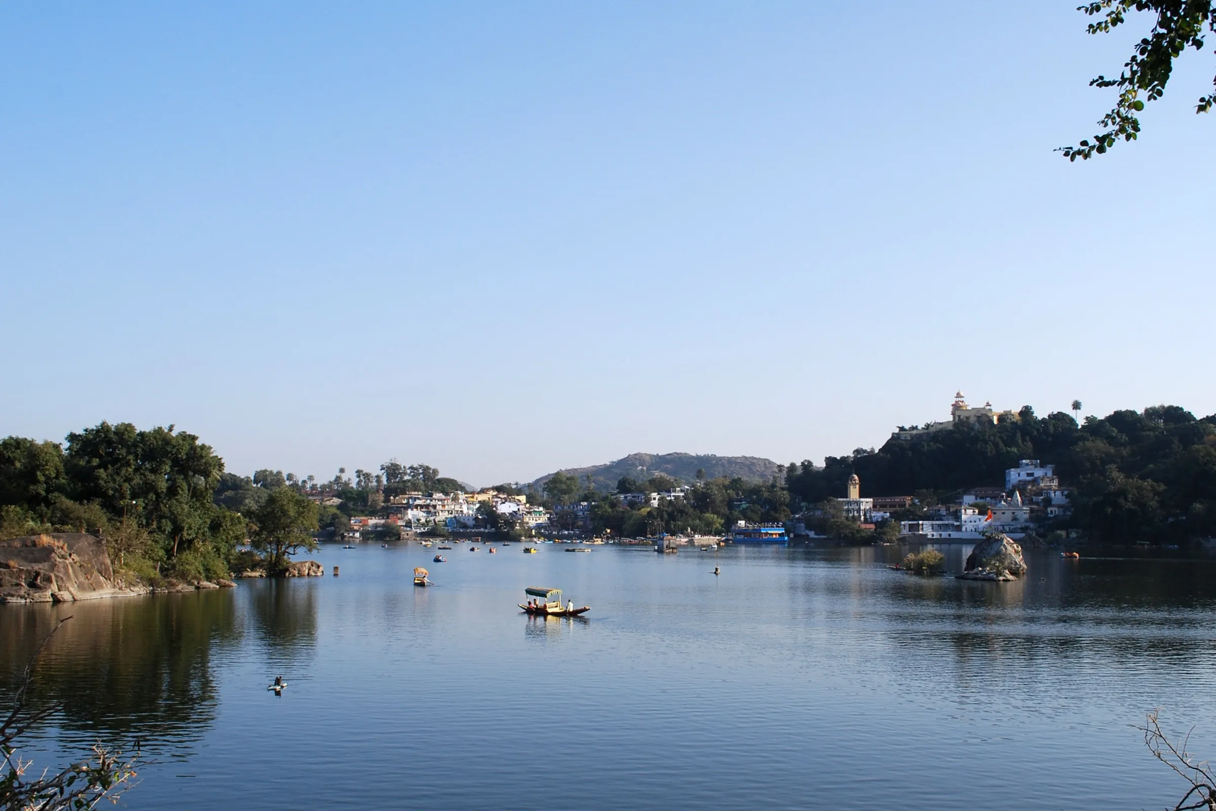
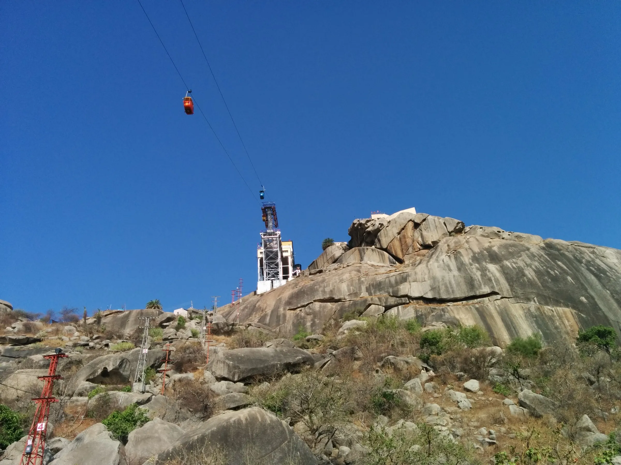
On the trail
The route
Day by day
Day 1 · highest point
Kumbhalgarh (Foota Deval) → Ranakpur Jain temples
1,100 m → 430 m
- Starts at Foota Deval after a visit to Kumbhalgarh Fort, with a guide and a local navigator.
- The first few kilometres are downhill, followed by a mix of uphill, downhill and flat sections through forest reserve.
- Passes an ancient Shiva temple and a tribal settlement; one operator mentions ponds and a Ganesha cave on the way.
- Operators report a refreshment stop at about the halfway mark; no water source is named, so carry your own.
- Ends at Ranakpur, where you rest before visiting the Jain temples of white marble on 1,444 pillars.
Ups and downs
Altitude profile
Where it is
Map
Trailhead and high point only — not a recorded track. Use it with a proper map.
Weather
Next 5 days on the trail
Live forecast for the trailhead and the high point. Mountain weather changes fast — check again on the morning you start.
Trailhead · Kumbhalgarh Fort
at 1,100 mLoading forecast…
High point · Start: Kumbhalgarh Fort (the route is a descent; the walk's own start at Foota Deval is not mapped)
at 1,100 mLoading forecast…
Each day: high / low °C · rain mm and chance · snow cm · wind km/h
Weather data: Open-Meteo.comModel forecast, not an official warning. For alerts follow IMD and the local administration.
Plan the trip
How to reach
- Trailhead
- Kumbhalgarh Fort
- Nearest railway
- Falna
- Nearest airport
- Maharana Pratap Airport, Udaipur
- By road
- Udaipur (about 80 to 85 km, roughly 2 hours by road)
- Drive
- About 2 h from Udaipur
Plan the trip
Permits and fees
We could not confirm the current permit rules and fees from an official source. Check with the local forest department or tourism office before you go.
Plan the trip
Cost
Self-guided
₹1,500–3,500
With an operator
₹2,500–4,000
Per person, ex-Udaipur. Trodly's guided hike is Rs 2,500 per person for groups of 11 or more, Rs 3,000 for 7 to 10, Rs 3,600 for 3 to 6 and Rs 4,000 for two, including guide, jungle entry and refreshments but excluding transport. Self-guided is an estimate only: sanctuary entry, a local guide and taxi back; confirm locally.
Gear
Top picks for this trek
The gear that matters most on this route, chosen from its altitude, season and risks.
 Ad · affiliate link
 Ad · affiliate link
 Ad · affiliate link
- Ad · affiliate link
 Ad · affiliate link
 Ad · affiliate link
 Ad · affiliate link
 Ad · affiliate link
Store buttons open a search on that store, not a product we picked. As an Amazon Associate we earn from qualifying purchases. Photos show the kind of item, not a specific product. Affiliate disclosure
Packing checklist
Matched to this trek: altitude, season, days and the risks on the route.
Packed 0 of 16
Hot days in Mar: start at first light and carry extra water and ORS.
Tick each item as it goes in the bag.
Know before you go
Good to know
- Mobile network
- Not confirmed; expect patchy signal inside the sanctuary.
- Last ATM
- Kumbhalgarh village or Ranakpur (not confirmed)
- Nearest hospital
- Not confirmed; the nearest large hospitals are in Udaipur and Rajsamand
- Water
- Not confirmed; operators supply bottled water. Carry at least 2 litres.
Highlights
- Walk through Kumbhalgarh Wildlife Sanctuary in the Aravalli hills, with chances of antelope, deer and birds
- An ancient Shiva temple and tribal settlements met along the forest track
- Start beside Kumbhalgarh Fort, one of Rajasthan's great hill forts
- Finish at the Ranakpur Jain temples
Risks
- Heat: much of Rajasthan is very hot outside the cooler months; operators list October to March for this walk.
- One operator lists the activity as temporarily unavailable due to weather or government restrictions, so confirm availability before travelling.
- Operators quote anywhere from 10 to 18 km, so treat the distance as approximate and carry extra water.
Know before you go
Questions
How long is the Kumbhalgarh to Ranakpur trek?
Operators disagree: Trodly says about 10 km in about 4 hours, Roolin Pebbles and Universal Adventures about 16 km in 4 to 6 hours, and Rajasthan Trekking about 18 km downhill.
When is the best time to walk from Kumbhalgarh to Ranakpur?
Universal Adventures lists October to March, and a Rajasthan travel guide names November to February as the best trekking season.
Is this trek difficult?
Universal Adventures rates it moderate and Roolin Pebbles calls it for the enthusiastic. It begins with a few kilometres of descent and then mixes uphill, downhill and flat stretches.
Do I need a permit or guide?
The route is inside Kumbhalgarh Wildlife Sanctuary, so forest entry applies. Trodly includes jungle entrance charges and a guide in its price. We could not confirm the current official fee, so check with the forest office at Kumbhalgarh.
In an emergency
Save these numbers before you lose signal. Tap to call.
- 112All emergenciesIndia’s single emergency number — works in every state
- 108Ambulance
- 1077District disaster control room
You are in
District: RajsamandRajasthan
- Nearest hospital
- Not confirmed; the nearest large hospitals are in Udaipur and Rajsamand
- Last ATM
- Kumbhalgarh village or Ranakpur (not confirmed)
- Phone network
- Not confirmed; expect patchy signal inside the sanctuary.
Before you set off
- Tell someone your route and when you will be back.
- Carry a charged phone and a power bank.
- Download an offline map of the route.
- Turn back if the weather turns bad — the mountain will wait.
Questions about Kumbhalgarh to Ranakpur
No questions yet. Ask something and trekkers who have done it can answer.
Share your trek photo with #TreksAndTrails
I trekked this
Did Kumbhalgarh to Ranakpur look different from this page? Tell us what changed and we will check it.
Where this comes from
Sources
Last reviewed:
- Hiking from Kumbhalgarh to Ranakpur Jain temple — Trodly
- Kumbhalgarh - Ranakpur Jain Temple Walk — Roolin Pebbles
- Trekking in Kumbhalgarh Ranakpur — Universal Adventures
- Ghanerao Kumbhalgarh Trekking Tour Package — Rajasthan Trekking
- Rajasthan trekking: Kumbhalgarh-Ranakpur — India Travelogue
- Kumbhalgarh — Wikipedia
Photos: Dev1467, CC BY-SA 4.0; Rishabh jain 24feb, CC BY-SA 4.0; Ingo Mehling, CC BY-SA 3.0; Kanika Gaur, CC BY-SA 4.0