Govardhan Parikrama Trek
Mathura, Uttar Pradesh
Opens without signal on this phone, with the map file and checklist. Saved for offline →
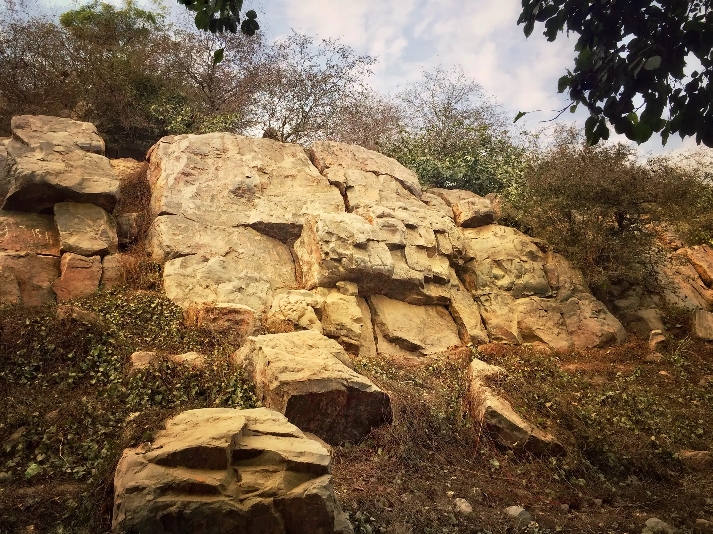
- Max altitude
- 185 m
- Days
- 1 day
- Distance
- 21 km
- Difficulty
- Easy
Flat, paved and lanes walking with no climbing, but the distance of about 21 km takes 5 to 8 hours, and many pilgrims walk it barefoot in heat or in the dark.
About this trek
Govardhan Parikrama
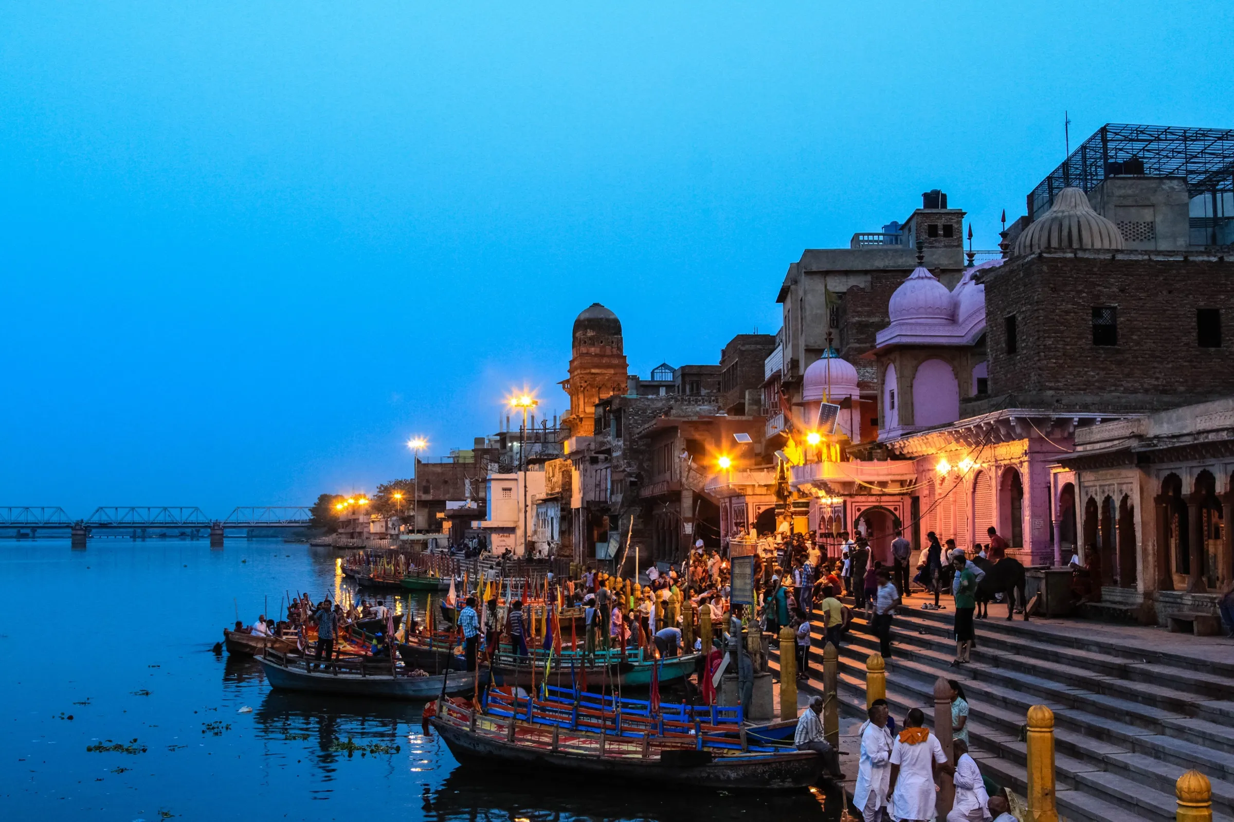
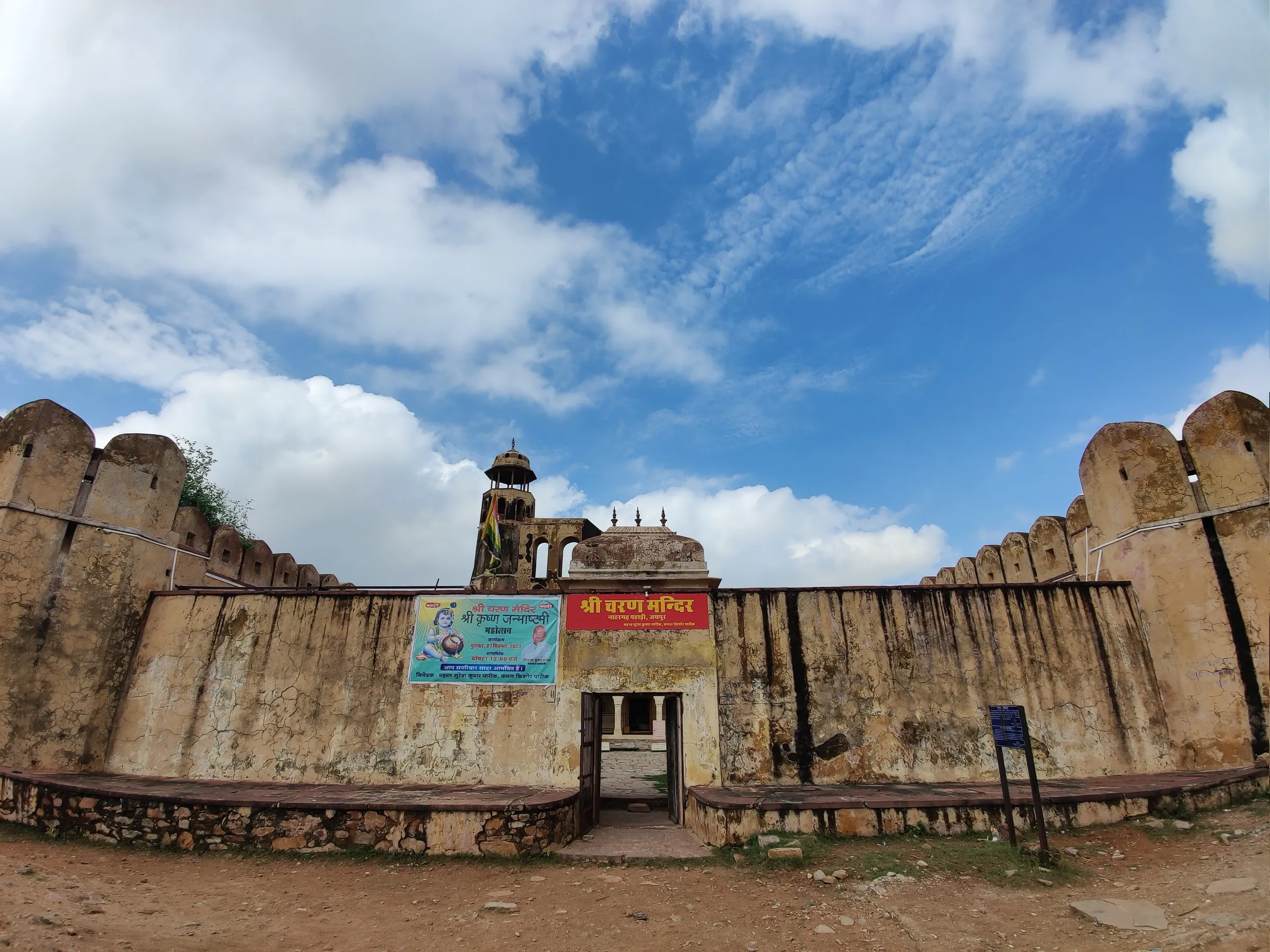
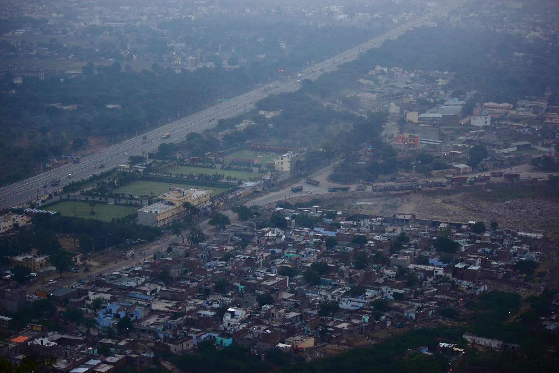
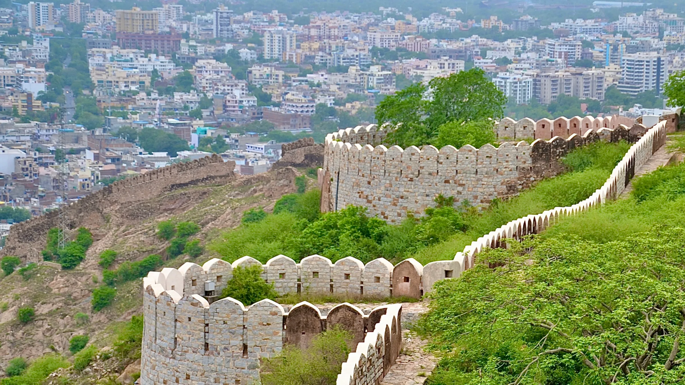
The Govardhan Parikrama is a pilgrim circuit of about 21 km around Govardhan Hill near Mathura, starting and ending at Mansi Ganga. Walkers pass Dan Ghati, Jatipura, Radha Kund, Kusum Sarovar and Govind Kund before returning to the start. It is a flat, mostly paved walk, often done barefoot by devotees, and it is hot and crowded in season. It suits anyone who can walk a full day with water and a plan for the heat.
Photos
On the trail
The route
Day by day
Day 1 · highest point
Mansi Ganga, Govardhan → Mansi Ganga, Govardhan (full circuit past Dan Ghati, Jatipura, Radha Kund and Kusum Sarovar)
185 m → 185 m
- Starts at the Mansi Ganga ghat, where pilgrims bathe and take a resolve before walking clockwise.
- Dan Ghati is about 3 km from the start; Jatipura (Mukharavind) follows about 4 km later and is the most sacred stop.
- Radha Kund and Shyam Kund lie on a 1-2 km detour from the main route, about 3 km beyond Jatipura.
- Kusum Sarovar, an octagonal stone reservoir with royal chhatris, is about 2 km further and is the usual rest stop.
- Govind Kund comes about 3 km later; the last 6 km or so return to Mansi Ganga. Water points are limited, so carry your own.
Ups and downs
Altitude profile
Where it is
Map
Trailhead and high point only — not a recorded track. Use it with a proper map.
Weather
Next 5 days on the trail
Live forecast for the trailhead and the high point. Mountain weather changes fast — check again on the morning you start.
Trailhead · Mansi Ganga
at 185 mLoading forecast…
High point · Govardhan Hill (Wikipedia coordinates, on the ridge near Kusum Sarovar; the hill rises only about 30 m above the plain and its exact top is not mapped)
at 185 mLoading forecast…
Each day: high / low °C · rain mm and chance · snow cm · wind km/h
Weather data: Open-Meteo.comModel forecast, not an official warning. For alerts follow IMD and the local administration.
Plan the trip
How to reach
- Trailhead
- Mansi Ganga (nearest town: Govardhan)
- Nearest railway
- Mathura Junction (about 26 km)
- Nearest airport
- Indira Gandhi International Airport, Delhi
- By road
- Mathura (about 25 km, 30 to 45 minutes by taxi, auto or e-rickshaw); Delhi (about 3 to 4 hours by road); Vrindavan (about 22 km by road)
- Drive
- About 3.5 h from Delhi
Plan the trip
Permits and fees
We could not confirm the current permit rules and fees from an official source. Check with the local forest department or tourism office before you go.
Plan the trip
Cost
Self-guided
₹200–1,500
With an operator
₹1,500–4,000
Per person, ex-Mathura. The walk itself is free. Self-guided is an estimate for shared auto or bus from Mathura, prasad and food on the way, and a possible e-rickshaw or cycle shortcut. Guided is a rough estimate for a local guide or a hired taxi that follows the route; we did not find a published operator price, so confirm locally.
Gear
Top picks for this trek
The gear that matters most on this route, chosen from its altitude, season and risks.
 Ad · affiliate link
 Ad · affiliate link
 Ad · affiliate link
 Ad · affiliate link
- Ad · affiliate link
 Ad · affiliate link
 Ad · affiliate link
 Ad · affiliate link
Store buttons open a search on that store, not a product we picked. As an Amazon Associate we earn from qualifying purchases. Photos show the kind of item, not a specific product. Affiliate disclosure
Packing checklist
Matched to this trek: altitude, season, days and the risks on the route.
Packed 0 of 18
Hot days in Mar: start at first light and carry extra water and ORS.
Tick each item as it goes in the bag.
Know before you go
Good to know
- Mobile network
- Not confirmed by our sources. The circuit runs through Govardhan town and villages, so coverage is expected, but check with your operator.
- Last ATM
- Not confirmed; carry cash from Govardhan town or Mathura.
- Nearest hospital
- Not confirmed; Mathura (about 25 km) has the nearest large hospitals.
- Water
- Shops and stalls along the route sell water; carry your own bottle, especially for the long stretches between Dan Ghati, Jatipura and Radha Kund.
Highlights
- A traditional barefoot circumambulation (parikrama) of Giriraj Govardhan, the sacred hill Bhagwan Shri Krishna lifted on his finger to protect Braj
- Darshan at the Mansi Ganga ghat, Dan Ghati Temple (Daan Ghati), Jatipura (Mukharvind), Radha Kund, Shyam Kund and Kusum Sarovar on one circuit
- Walking from about 4 am gives a cool, quiet darshan; night parikrama is also popular, especially in Kartik month and around Govardhan Puja
- Free to walk, and open at all hours
Risks
- Summer is extremely hot; afternoon walking from about 10 am to 4 pm is not recommended, and barefoot walking on hot roads can burn the feet.
- Crowds are very heavy during Kartik month and Govardhan Puja; keep valuables minimal and stay in a group when walking at night.
- Monsoon can make paths slippery.
- Distances differ by source (21 to 23 km, and Wikipedia's article on the Govardhana Shila mentions 38 km), so plan for a full day and carry water and basic medicines.
Know before you go
Questions
How long is the Govardhan Parikrama and how long does it take?
Most sources give about 21 km (7 kos). One guide quotes 21 to 23 km, the extra coming from detours to Radha Kund and Kusum Sarovar. On foot it takes about 5 to 8 hours; barefoot with temple stops can take 7 to 9 hours. By car, families with elders finish in about 1.5 to 2 hours.
Where does the Govardhan Parikrama start?
Sources differ. One guide says it starts at Mansi Ganga Ghat (also called Jatipura Gate); another says pilgrims traditionally start and end at Dan Ghati, walking clockwise. Because it is a loop, you can begin at either and return to the same point.
What is the best time of year for Govardhan Parikrama?
October to March, when it is cool and pleasant (about 10 to 25 degrees C). Kartik month and Govardhan Puja are the most auspicious but most crowded. Summers are very hot. Early morning (4 to 8 am) or evening after 5 pm is the most comfortable time of day.
Is it necessary to walk barefoot?
Barefoot walking is the tradition and is followed by most devotees, but it is not strictly mandatory, and elderly people or those with health problems may wear footwear.
Is there any fee or permit for the Govardhan Parikrama?
No fee or permit is mentioned by the guides we read, and the walk is described as free. We did not find an official source, so check locally.
In an emergency
Save these numbers before you lose signal. Tap to call.
- 112All emergenciesIndia’s single emergency number — works in every state
- 108Ambulance
- 1077District disaster control room
You are in
District: MathuraUttar Pradesh
- Nearest hospital
- Not confirmed; Mathura (about 25 km) has the nearest large hospitals.
- Last ATM
- Not confirmed; carry cash from Govardhan town or Mathura.
- Phone network
- Not confirmed by our sources. The circuit runs through Govardhan town and villages, so coverage is expected, but check with your operator.
Before you set off
- Tell someone your route and when you will be back.
- Carry a charged phone and a power bank.
- Download an offline map of the route.
- Turn back if the weather turns bad — the mountain will wait.
Questions about Govardhan Parikrama
No questions yet. Ask something and trekkers who have done it can answer.
Share your trek photo with #TreksAndTrails
I trekked this
Did Govardhan Parikrama look different from this page? Tell us what changed and we will check it.
Where this comes from
Sources
Last reviewed:
- Govardhan Parikrama 2026 - Starting Point, 21 KM Distance, Route Map & Complete Braj Dham Guide — TheBrajDham
- Govardhan Parikrama Timings — Mathura Vrindavan Temples
- Govardhan Parikrama: Route, Distance, Timings & Guide — TourTripX (vrindavanmathura.com)
- Govardhan Hill — Wikipedia
- Govardhan — UP Tourism (official)
Photos: Ekabhishek, CC BY-SA 4.0; DIPU1, CC BY-SA 4.0; Gyanendrasinghchauha… (via Panoramio, as stated on Commons), CC BY 3.0; Gyanendra_Singh_Chau… (Panoramio), CC BY 3.0