Braj 84 Kos Yatra Trek
Mathura, Uttar Pradesh & Rajasthan & Haryana
Opens without signal on this phone, with the map file and checklist. Saved for offline →
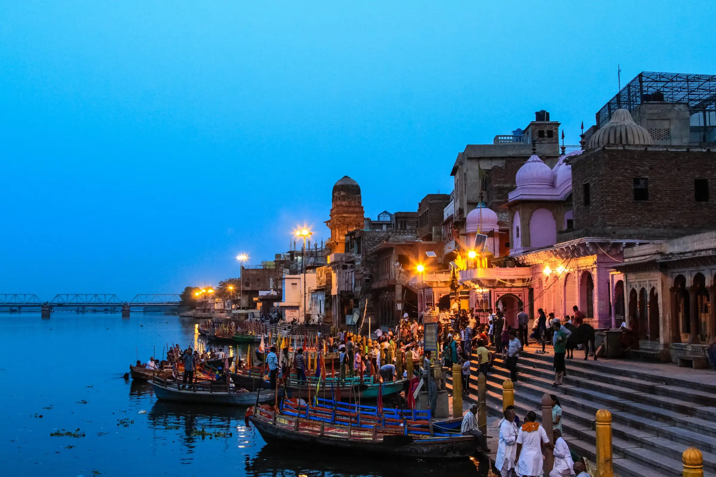
- Max altitude
- 219 m
- Days
- 7 days
- Distance
- 252 km
- Difficulty
- Moderate
The ground is flat (about 180-220 m) but the full circuit is about 252 km; on foot it takes weeks, and heat, dust and basic stays in villages are the real challenge.
About this trek
Braj 84 Kos Yatra
A seven-day pilgrimage walk of about 252 km (84 kos) around the Braj region, starting and ending at Vishram Ghat in Mathura. The circuit visits Vrindavan, Govardhan, Deeg and Kaman, Barsana, Nandgaon, Gokul and Mahavan, with temples, kunds and sacred groves at each stop. The ground is flat, so the difficulty is distance and heat rather than climbing. It suits pilgrims and walkers who can cover long days on village roads, preferably from October to March.
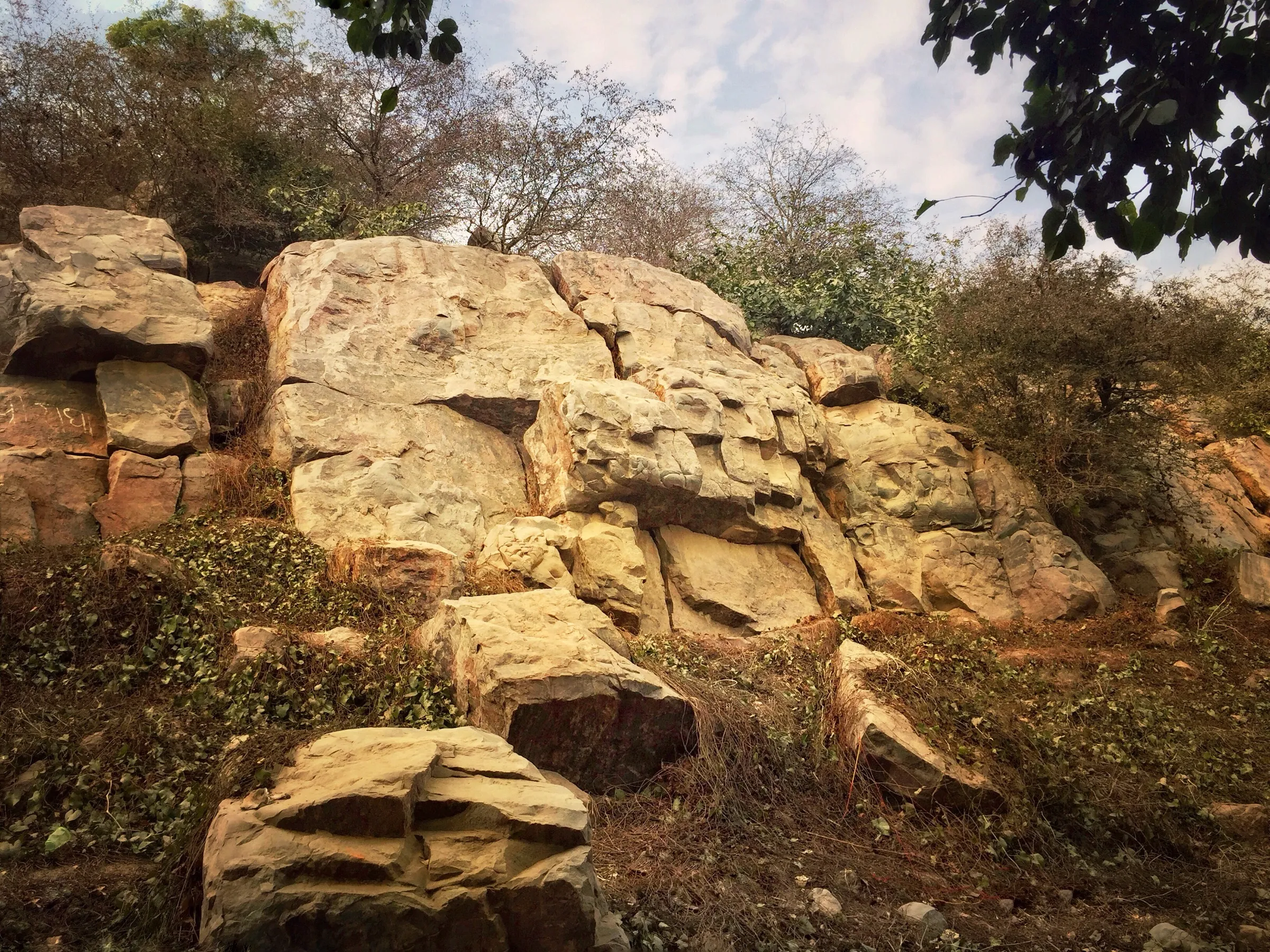
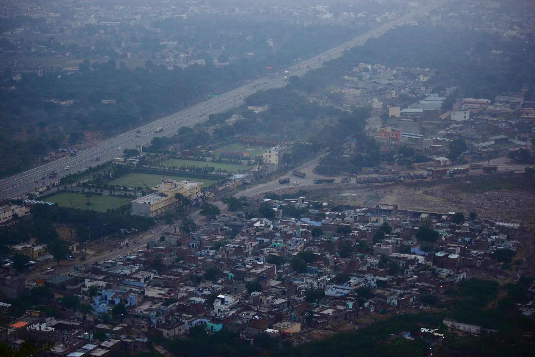
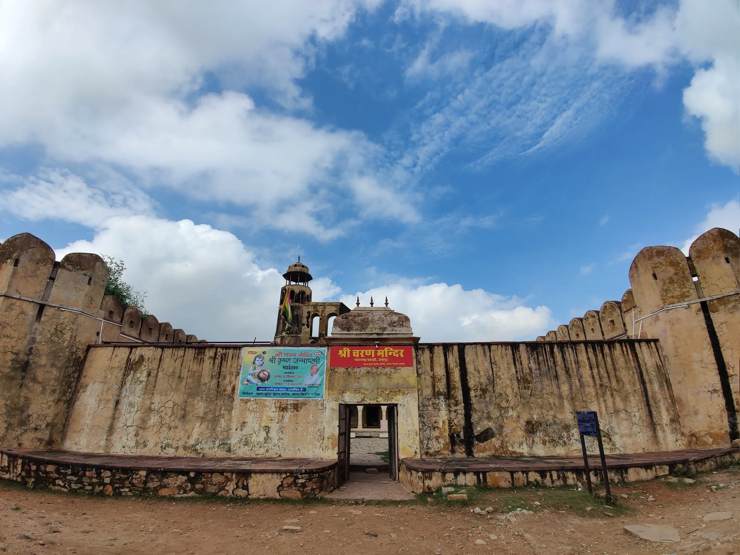
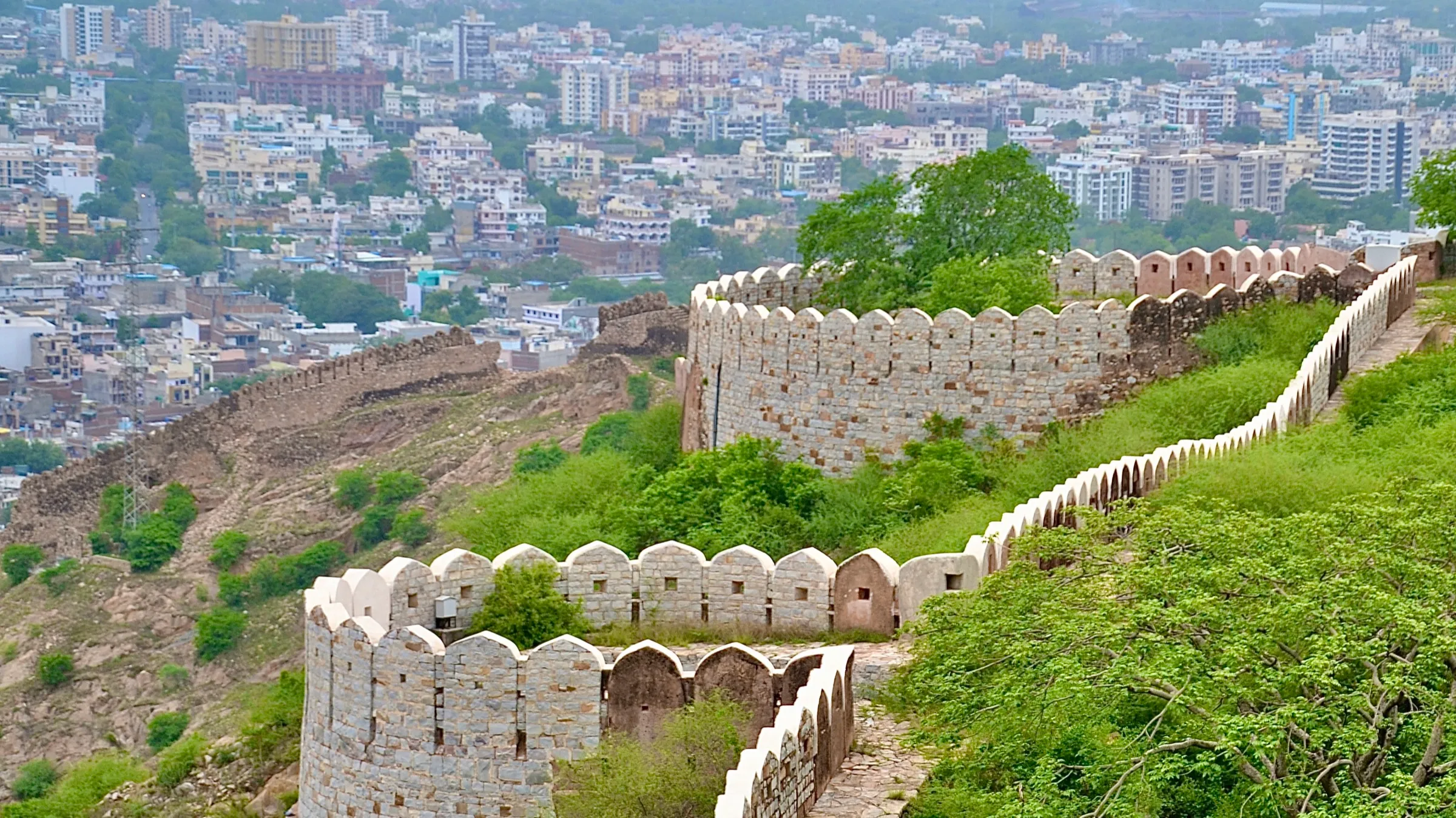
Photos
On the trail
The route
Day by day
Day 1
Mathura (Vishram Ghat) → Vrindavan
181 m → 179 m
- The walk starts at Vishram Ghat on the Yamuna in Mathura, with a Yamuna puja, and goes on to the temples of Vrindavan.
Day 2
Vrindavan → Govardhan
179 m → 189 m
- Flat road and village walking to Govardhan, which has its own parikrama; Radha Kund and Shyam Kund lie nearby.
- Walking pilgrims usually stay in dharamshalas and ashrams, which are basic outside the main towns.
Day 3 · highest point
Govardhan (Radha Kund, Kusum Sarovar) → Kaman via Deeg
189 m → 219 m → 190 m
- The day covers Radha Kund and Kusum Sarovar at Govardhan, then Deeg, with the night in Kaman, which lies in Rajasthan.
- Water is found in towns and ashrams but can be scarce between villages; carry extra.
Day 4
Kaman → Nandgaon via Barsana
190 m → 185 m
- Barsana, the village of Radha, and Nandgaon, the village of Nanda Baba, are the main stops.
- Food is simple vegetarian and card payments are unreliable in villages, so carry small cash.
Day 5
Nandgaon → Bhandirvan via Kokilavan and Kosi
185 m → 180 m
- The eastern arc covers Kokilavan and Bhandirvan, with Kosi on the way, over flat farmland and village roads.
- Dehydration is the commonest problem on the route; refill at every ashram or tap.
Day 6
Bhandirvan → Gokul via Belvan and Mahavan
180 m → 175 m
- The day covers Gokul and Mahavan, sites linked to Krishna's childhood, with Belvan on the way.
- Some village stretches are muddy or waterlogged in the monsoon.
Day 7
Gokul → Mathura via Baldeo
175 m → 181 m
- The last stage passes Baldeo, with the Dauji temple, and returns to Vishram Ghat in Mathura for the closing ritual.
Ups and downs
Altitude profile
Where it is
Map
Trailhead and high point only — not a recorded track. Use it with a proper map.
Weather
Next 5 days on the trail
Live forecast for the trailhead and the high point. Mountain weather changes fast — check again on the morning you start.
Trailhead · Mathura
at 181 mLoading forecast…
High point · Govardhan Hill ridge (on route; the exact top is not mapped)
at 219 mLoading forecast…
Each day: high / low °C · rain mm and chance · snow cm · wind km/h
Weather data: Open-Meteo.comModel forecast, not an official warning. For alerts follow IMD and the local administration.
Plan the trip
How to reach
- Trailhead
- Mathura
- Nearest railway
- Mathura Junction
- Nearest airport
- Agra Airport (Delhi IGI is the main international gateway)
- By road
- Delhi (about 190 km via the Yamuna Expressway, roughly 3 hours); Agra (about 50 km north-west of Agra to Mathura, per Wikipedia)
- Drive
- About 3 h from Delhi
Plan the trip
Permits and fees
We could not confirm the current permit rules and fees from an official source. Check with the local forest department or tourism office before you go.
Plan the trip
Cost
Self-guided
₹2,500–7,000
With an operator
₹4,000–10,000
Per person, ex-Mathura, estimates. One operator (Delhi Tempo Travels) quotes a 7-day vehicle package at INR 18,000-28,000 for a 9-seater, 22,000-35,000 for a 12-seater and 28,000-42,000 for a 16-seater (vehicle, driver, fuel, tolls only); shared among a group that is roughly INR 2,000-3,500 each before stays and food. Guided range adds dharamshala or basic hotel nights and meals. Self-guided is a reasoned estimate for a pilgrim using dharamshalas, local buses and shared autos. The parikrama itself is free; confirm current rates with operators.
Gear
Top picks for this trek
The gear that matters most on this route, chosen from its altitude, season and risks.
 Ad · affiliate link
 Ad · affiliate link
 Ad · affiliate link
 Ad · affiliate link
- Ad · affiliate link
 Ad · affiliate link
 Ad · affiliate link
 Ad · affiliate link
Store buttons open a search on that store, not a product we picked. As an Amazon Associate we earn from qualifying purchases. Photos show the kind of item, not a specific product. Affiliate disclosure
Packing checklist
Matched to this trek: altitude, season, days and the risks on the route.
Packed 0 of 24
Hot days in Mar: start at first light and carry extra water and ORS.
Tick each item as it goes in the bag.
Know before you go
Good to know
- Mobile network
- Mobile coverage is generally available across the plains circuit; not verified village by village.
- Last ATM
- Available in Mathura, Vrindavan and Govardhan; carry small cash because card payment is unreliable in villages.
- Nearest hospital
- Mathura and Vrindavan have the main hospitals; facilities away from these towns are basic, so a medical check before starting is advised for older pilgrims.
- Water
- Roadside and temple water points and shops; carry extra water, especially in summer, and drink only bottled or treated water.
Highlights
- Walk or drive the sacred land of Bhagwan Shri Krishna's leela, from Mathura (Janmasthan) through Vrindavan, Govardhan, Barsana, Nandgaon, Gokul and Baldeo
- Govardhan Giriraj and the Radha Kund and Shyam Kund pilgrimage tanks
- About 12 forests (van), 24 groves and 20 kunds of Braj, as listed by the Mathura district administration
- Evening aarti at Vishram Ghat on the Yamuna in Mathura
Risks
- Heat in May and June is severe and can cause heat exhaustion and dehydration on long walks, especially for older pilgrims; most operators advise avoiding April to June.
- During the monsoon some village stretches are muddy or waterlogged and routes may be hard to access.
- Facilities between the main towns are basic and card payments are unreliable; confirm inclusions in writing before paying any advance to a tour operator.
- Distance and route sequence differ between sources (about 252 km traditionally, about 300 km per Wikipedia); sect-wise itineraries also differ, so follow your sampradaya's marg or a local guide.
Know before you go
Questions
How long is the Braj 84 Kos Yatra?
The Mathura district administration gives about 252 km (84 kos). Wikipedia describes an 84 kos or 300 km periphery. Route maps differ slightly.
How many days does the Braj Chaurasi Kos parikrama take?
The district administration calls it a seven-day journey, and operators run 5 to 8 day vehicle-supported programmes. Done traditionally on foot as a padyatra it takes about 25 to 45 days, depending on the source.
What is the best time to do the Braj 84 Kos Yatra?
Operators suggest October to March, with Kartik (October-November) the most devotional season and Chaitra (March-April) also rated well. May and June are best avoided for the heat. The district page also lists Chaturmas and Adhik Maas as traditional timings.
Does the Braj 84 Kos Yatra need a permit or fee?
No permit or entry fee was found in the sources; the parikrama itself is free. Check locally for temple or vehicle entry rules.
Where does the Braj 84 Kos Yatra start?
Operators start and end the loop at Mathura, usually at Vishram Ghat, and cover Vrindavan, Govardhan, Barsana, Nandgaon, Gokul, Mahavan and Baldeo.
In an emergency
Save these numbers before you lose signal. Tap to call.
- 112All emergenciesIndia’s single emergency number — works in every state
- 108Ambulance
- 1077District disaster control room
You are in
District: MathuraUttar Pradesh · Rajasthan · Haryana
- Nearest hospital
- Mathura and Vrindavan have the main hospitals; facilities away from these towns are basic, so a medical check before starting is advised for older pilgrims.
- Last ATM
- Available in Mathura, Vrindavan and Govardhan; carry small cash because card payment is unreliable in villages.
- Phone network
- Mobile coverage is generally available across the plains circuit; not verified village by village.
Before you set off
- Tell someone your route and when you will be back.
- Carry a charged phone and a power bank.
- Download an offline map of the route.
- Turn back if the weather turns bad — the mountain will wait.
Questions about Braj 84 Kos Yatra
No questions yet. Ask something and trekkers who have done it can answer.
Share your trek photo with #TreksAndTrails
I trekked this
Did Braj 84 Kos Yatra look different from this page? Tell us what changed and we will check it.
Where this comes from
Sources
Last reviewed:
- Brij Parikrama — Mathura District Administration (NIC) (official)
- Braj Chaurasi Kos Yatra: Route, Days and Costs — Vrindavan Mathura Guide
- Braj 84 Kos Yatra: Route, Places & Itinerary from Delhi — Delhi Tempo Travels
- Braj Chaurasi Kos Yatra — Radhekrishn.com
- Vraja Parikrama — Wikipedia
Photos: Umang108, CC BY-SA 4.0; कृष्ण कान्त शर्मा, CC BY-SA 4.0; Kridha20, CC BY-SA 4.0; Ekabhishek, CC BY-SA 3.0