Girnar Lili Parikrama Trek
Junagadh, Gujarat
Opens without signal on this phone, with the map file and checklist. Saved for offline →
- Max altitude
- 325 m
- Days
- 2 days
- Distance
- 36 km
- Difficulty
- Difficult
Best months Nov
- JanClosed
- FebClosed
- MarClosed
- AprClosed
- MayClosed
- JunClosed
- JulClosed
- AugClosed
- SepClosed
- OctClosed
- NovBest
- DecClosed
A 36 km forest circuit with steep rocky ghodis (climbs) such as Nal-Pani and the Bordevi descent, walked among very large crowds; fit walkers can finish in 10 to 12 hours, most take a night halt.
About this trek
Girnar Lili Parikrama
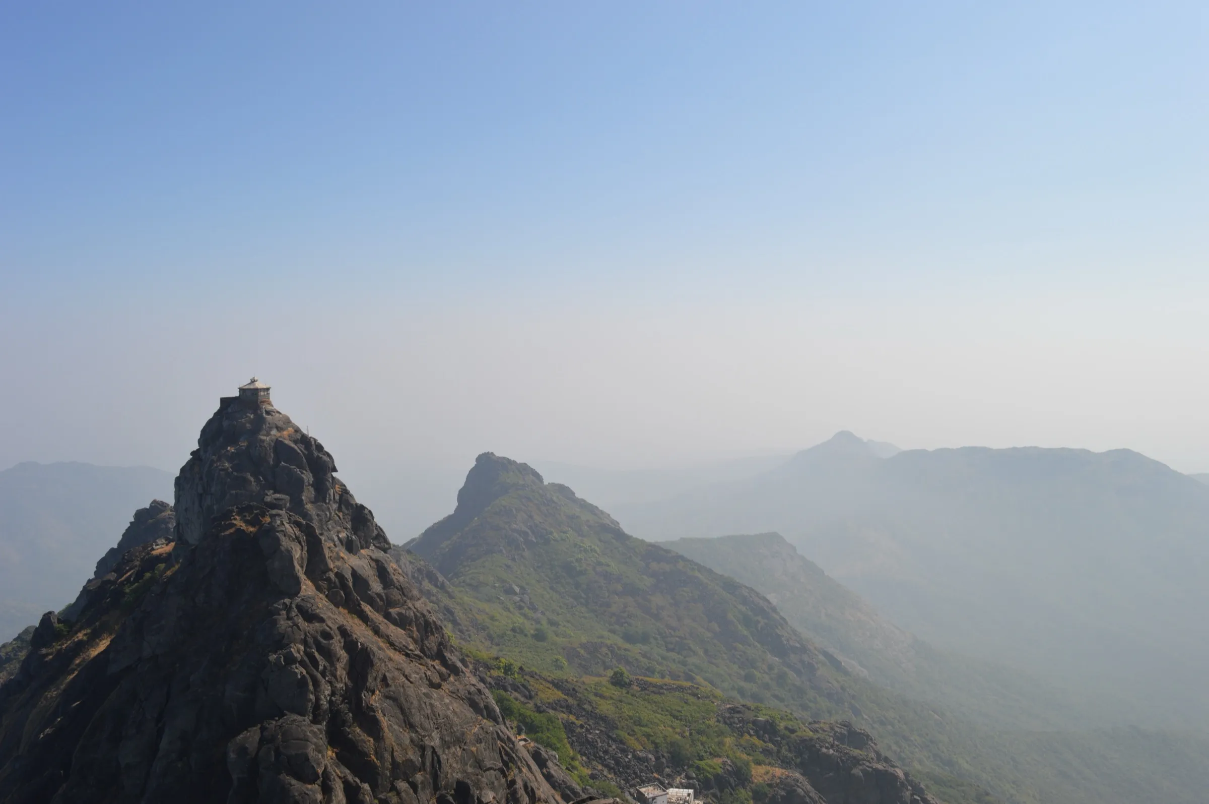
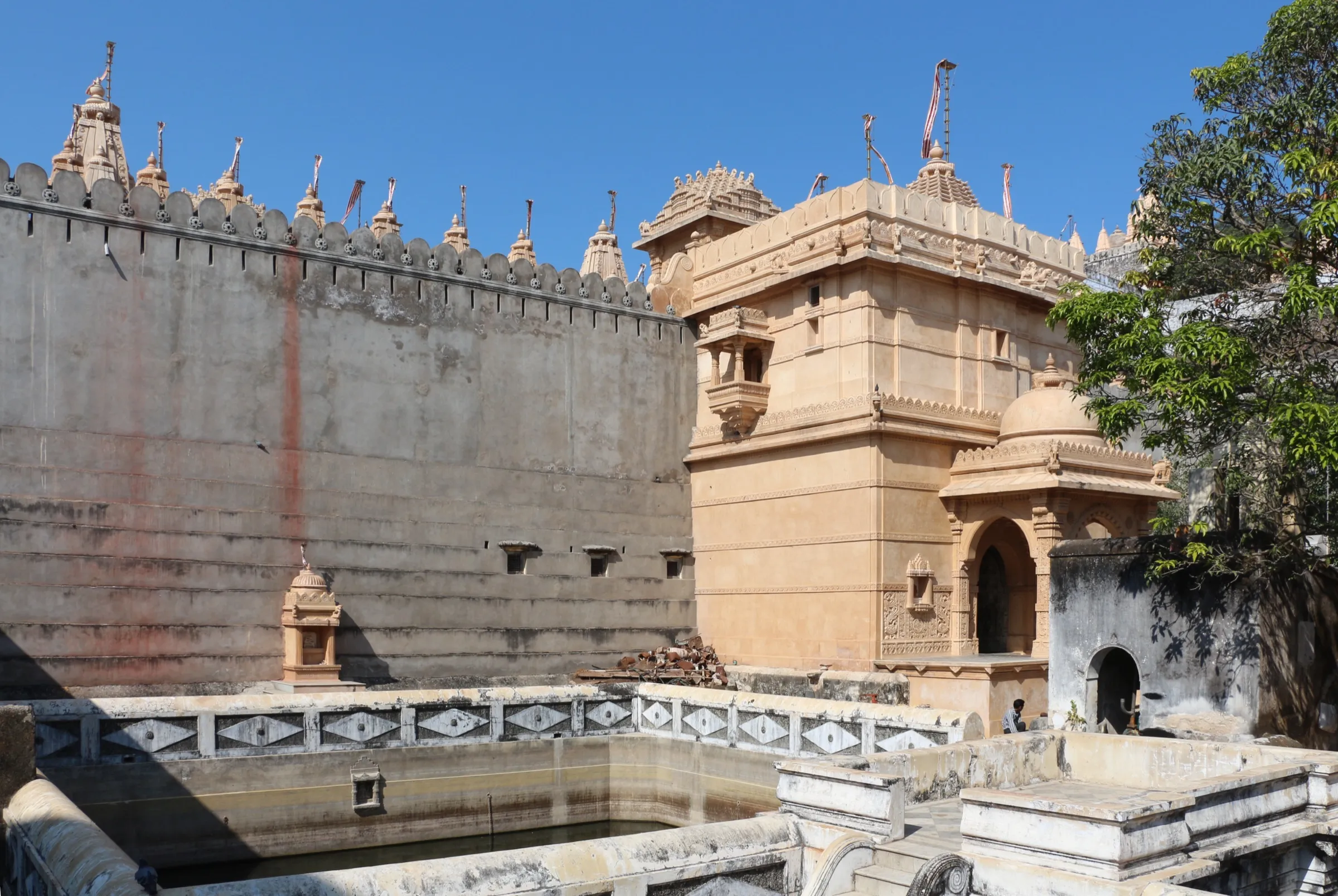
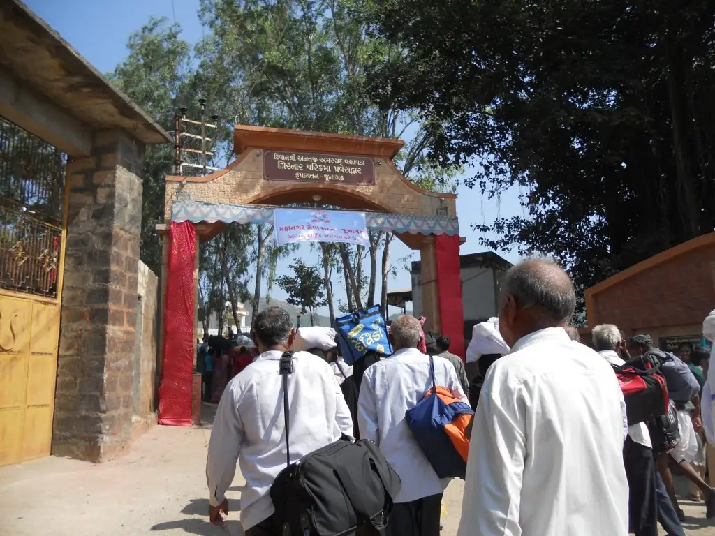
A 36 km pilgrim circuit around Mount Girnar through the forest of the Gir region near Junagadh, open only for a few days around Kartik Ekadashi to Purnima. It starts at the Dudheshwar temple at Bhavnath Taleti, crosses the Intwa ni Ghodi pass to Zina Bava ni Madhi near Hasnapur Dam, continues to Malvela and Bordevi, and returns to Bhavnath. Volunteer stalls give free food and water, and lakhs of pilgrims walk. It suits fit walkers who can manage long days in crowds; lions and leopards are possible in forest stretches.
Photos
On the trail
The route
Day by day
Day 1
Bhavnath Taleti (Dudheshwar Temple) → Zina Bava ni Madhi (near Hasnapur Dam)
150 m → 250 m
- About 12 km from Bhavnath Taleti (Dudheshwar temple) to Zina Bava ni Madhi, crossing the Intwa ni Ghodi pass through dense forest.
- Zina Bava ni Madhi sits near Hasnapur Dam; most pilgrims halt here for the first night.
- Lions and leopards are occasionally seen near Zina Bava ni Madhi; stay in groups on the marked trail.
- Volunteer stalls along the route give free meals, tea and drinking water during the event.
Day 2 · highest point
Zina Bava ni Madhi → Malvela, Bordevi and back to Bhavnath Taleti
250 m → 325 m → 150 m
- Zina Bava ni Madhi to Malvela is about 8 km; one option goes via Sarkhadiya Hanuman, and the Chandra Mauleshwar temple lies on this stretch.
- Malvela to Bordevi is about 8 km and includes the steep Nalpani Ghodi section, with Suraj Kund on the way.
- Sources place Nalpani Ghodi on different legs, but all agree it is the hardest stretch; take care on the steep slope and in crowds.
- The last 8 km runs from Bordevi, with its mango grove, back to Bhavnath Taleti.
- Fit walkers finish the whole circuit in 10 to 12 hours; most take 4 to 5 days and halt at Zina Bava ni Madhi, Malvela or Bordevi.
Ups and downs
Altitude profile
Where it is
Map
Trailhead and high point only — not a recorded track. Use it with a proper map.
Weather
Next 5 days on the trail
Live forecast for the trailhead and the high point. Mountain weather changes fast — check again on the morning you start.
Trailhead · Bhavnath Taleti
at 150 mLoading forecast…
High point · Malvela Mahakali Mandir (on route; the exact high point of the circuit is not mapped)
at 325 mLoading forecast…
Each day: high / low °C · rain mm and chance · snow cm · wind km/h
Weather data: Open-Meteo.comModel forecast, not an official warning. For alerts follow IMD and the local administration.
Plan the trip
How to reach
- Trailhead
- Bhavnath Taleti (nearest town: Junagadh)
- Nearest railway
- Junagadh Junction (about 5 km from Bhavnath Taleti)
- Nearest airport
- Porbandar (about 86 km) per Yatradham; Rajkot is the larger airport, about 110 km by road
- By road
- Rajkot (about 110 km); Ahmedabad (about 316 to 338 km, 6 to 7 hours); Junagadh city to Bhavnath Taleti (about 5 to 8 km)
- Drive
- About 6.5 h from Ahmedabad
Plan the trip
Permits and fees
We could not confirm the current permit rules and fees from an official source. Check with the local forest department or tourism office before you go.
Plan the trip
Cost
Self-guided
₹1,500–4,000
With an operator
₹3,000–8,000
Per person, ex-Junagadh. Entry is reported free and free food is served by annakshetras; the self-guided range is our estimate for a train or bus to Junagadh, a basic dharamshala or lodge and local transport. No operator price for the walk itself was found; the guided range is a rough allowance for an organised group tour and is unconfirmed. A taxi from Ahmedabad is quoted from about Rs 6,000 per vehicle.
Gear
Top picks for this trek
The gear that matters most on this route, chosen from its altitude, season and risks.
 Ad · affiliate link
 Ad · affiliate link
 Ad · affiliate link
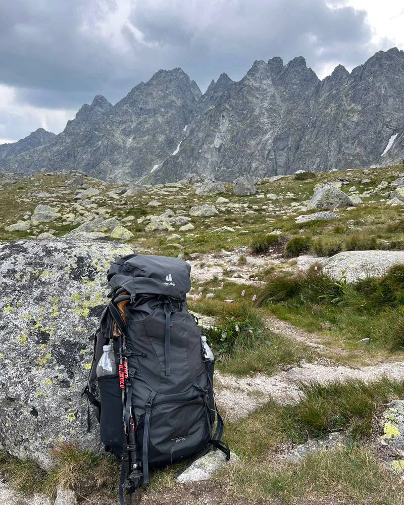 Ad · affiliate link
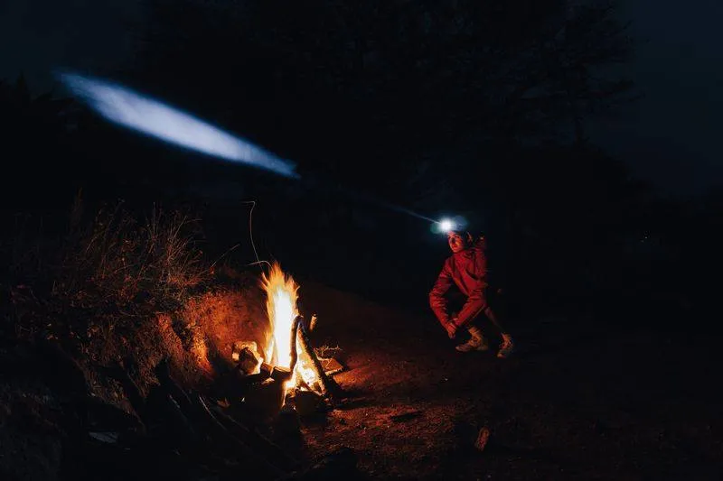 Ad · affiliate link
 Ad · affiliate link
 Ad · affiliate link
 Ad · affiliate link
Store buttons open a search on that store, not a product we picked. As an Amazon Associate we earn from qualifying purchases. Photos show the kind of item, not a specific product. Affiliate disclosure
Packing checklist
Matched to this trek: altitude, season, days and the risks on the route.
Packed 0 of 23
Tick each item as it goes in the bag.
Know before you go
Good to know
- Mobile network
- Not stated by sources; expect patchy signal inside the forest.
- Last ATM
- Junagadh city / Bhavnath Taleti area; carry cash
- Nearest hospital
- Junagadh city (civil hospital); medical posts are set up on the route during the event
- Water
- Water stations and annakshetras (about 87) during event days; natural water reported at Kala Ghuno and Tataniyo Ghuno, and at points such as Jinabavani Madhi, Malvela and Suraj Kund. Carry your own bottle.
Highlights
- A 36 km walk around the Girnar hills through forest, held once a year from Kartik Ekadashi to Kartik Purnima around Dev Diwali
- Darshan at Bhavnath Mahadev, Zina Bava ni Madhi, Malvela and Bordevi Mata temples along the circuit
- Free food, tea and water from about 87 annakshetras, with lakhs of pilgrims walking together
- Forest areas that are normally off limits open to pilgrims for these few days
Risks
- The route is open only about 5 days a year; there is no trek outside the Kartik Ekadashi to Purnima window and dates are notified by the district only 2 to 3 weeks ahead.
- The steep Bordevi descent (the ghodi) is reported to have had many accidents, and crowds are very large (over 11 lakh on one day in 2023).
- Gir lions and leopards may be near Zina Bava ni Madhi and dense forest stretches; walk in groups and stay on the marked trail.
- In 2025 the parikrama was reported cancelled after heavy rain damaged the route, and a 2025 report said it might be shortened to about 32 km; confirm with the Junagadh administration each year.
- Online registration with a government ID is reported mandatory since July 2026 (QR scan at entry and exit); one blog source, unconfirmed by an official page.
Know before you go
Questions
When is the Girnar Lili Parikrama held?
Every year from Kartik Shukla Ekadashi to Kartik Purnima, around Dev Diwali in November. For 2026 blogs expect 20 to 24 November, but the district administration usually confirms dates only 2 to 3 weeks before.
How long is the Girnar Parikrama route?
About 36 km in four stages: Bhavnath to Zina Bava ni Madhi 12 km, to Malvela 8 km, to Bordevi 8 km and back to Bhavnath 8 km. Fit walkers finish in 10 to 12 hours; many take 2 to 3 days with a night halt at Zina Bava ni Madhi.
Do I need to register or pay to join?
Entry is reported free. One blog says online registration with Aadhaar, voter ID or a driving licence has been required since July 2026, with a QR scan at entry and exit. We could not confirm this from an official page, so check with the Junagadh administration.
Where do pilgrims stay and eat on the route?
Most spend the night at Zina Bava ni Madhi near Hasnapur Dam, with basic food and shelter from roadside volunteers. About 87 annakshetras serve free food, tea and water during the event, and dharamshalas around Girnar Taleti offer budget rooms.
Is the Girnar Parikrama different from climbing Girnar?
Yes. The Girnar climb is about 9,999 steps up to the Gorakhnath and Dattatreya shrines. The Lili Parikrama is a separate 36 km forest circuit around the hills.
In an emergency
Save these numbers before you lose signal. Tap to call.
- 112All emergenciesIndia’s single emergency number — works in every state
- 108Ambulance
- 1077District disaster control room
You are in
District: JunagadhGujarat
- Nearest hospital
- Junagadh city (civil hospital); medical posts are set up on the route during the event
- Last ATM
- Junagadh city / Bhavnath Taleti area; carry cash
- Phone network
- Not stated by sources; expect patchy signal inside the forest.
Before you set off
- Tell someone your route and when you will be back.
- Carry a charged phone and a power bank.
- Download an offline map of the route.
- Turn back if the weather turns bad — the mountain will wait.
Questions about Girnar Lili Parikrama
No questions yet. Ask something and trekkers who have done it can answer.
Share your trek photo with #TreksAndTrails
I trekked this
Did Girnar Lili Parikrama look different from this page? Tell us what changed and we will check it.
Where this comes from
Sources
Last reviewed:
- Girnar Parikrama Date, Route Map and Distance — Yatradham
- Girnar Parikrama 2026: Dates, Route and Booking Guide — Seekatour
- Girnar Lili Parikrama 2026 - Dates & How to Join — TripSaffron
- All you need to know about the Girnar Parikrama — Knocksense
- Girnar's Lili Parikrama not green enough as tourists litter on route — Gujarat Samachar
Photos: Nileshbandhiya, CC BY-SA 3.0; Nileshbandhiya, CC BY-SA 3.0; Nileshbandhiya, CC BY-SA 3.0