Ghepan Ghat Lake Trek
Lahaul and Spiti, Himachal Pradesh
Opens without signal on this phone, with the map file and checklist. Saved for offline →
- Max altitude
- 4,145 m
- Days
- 5 days
- Distance
- 28 km
- Difficulty
- Moderate
Short days, but the unmarked trail crosses loose scree, boulder fields, landslide-prone gullies, a slippery glacier patch and cold river crossings, and climbs from about 3,100 m to 4,145 m in three days.
Photos
On the trail
The route
Day by day
Day 1
Manali → Sissu
2,050 m → 3,130 m
Day 2
Sissu → Camp 1 (meadow camp)
3,130 m → 3,510 m
Day 3
Camp 1 → Camp 2 (Aliyas area)
3,510 m → 3,900 m
Day 4 · highest point
Camp 2 → Camp 2 (via Ghepan Lake)
3,900 m → 4,145 m → 3,900 m
Day 5
Camp 2 → Sissu (drive to Manali)
3,900 m → 3,130 m
Ups and downs
Altitude profile
Where it is
Map
Trailhead and high point only — not a recorded track. Use it with a proper map.
Weather
Next 5 days on the trail
Live forecast for the trailhead and the high point. Mountain weather changes fast — check again on the morning you start.
Trailhead · Sissu (road-head at Tori village)
at 3,130 mLoading forecast…
High point · Ghepan Lake
at 4,145 mLoading forecast…
Each day: high / low °C · rain mm and chance · snow cm · wind km/h
Weather data: Open-Meteo.comModel forecast, not an official warning. For alerts follow IMD and the local administration.
Plan the trip
How to reach
- Trailhead
- Sissu (road-head at Tori village)
- Nearest railway
- Joginder Nagar (narrow gauge); Chandigarh for broad gauge
- Nearest airport
- Bhuntar (Kullu–Manali), about 50 km from Manali
- By road
- Manali to Sissu (about 40 km through the Atal Tunnel, 1.5–2 hours); Sissu to Tori village road-head (about 9 km, used by some operators); Chandigarh to Manali (about 294 km, 9–10 hours by bus)
- Drive
- About 11 h from Chandigarh
Plan the trip
Permits and fees
We could not confirm the current permit rules and fees from an official source. Check with the local forest department or tourism office before you go.
Plan the trip
Cost
Self-guided
₹6,000–12,000
With an operator
₹11,700–14,500
Per person, ex-Manali. Guided: Bikat Adventures publishes ₹11,700 + 5% GST, Sissu to Sissu (page accessed 17 October 2026, undated), with Manali–Sissu transport extra; Indiahikes quoted a shared Manali–Sissu vehicle at ₹2,300–3,000 per vehicle. Only one current operator price was found, so the upper figure is an estimate. Self-guided is an estimate: shared taxi to Sissu, a local guide (the trail is unmarked), tent and stove hire and food for four nights.
Gear
Top picks for this trek
The gear that matters most on this route, chosen from its altitude, season and risks.
 Ad · affiliate link
 Ad · affiliate link
 Ad · affiliate link
 Ad · affiliate link
 Ad · affiliate link
 Ad · affiliate link
 Ad · affiliate link
 Ad · affiliate link
Store buttons open a search on that store, not a product we picked. As an Amazon Associate we earn from qualifying purchases. Photos show the kind of item, not a specific product. Affiliate disclosure
Packing checklist
Matched to this trek: altitude, season, days and the risks on the route.
Packed 0 of 35
Nights near 4,145 m can drop close to freezing even in summer. Pack one more warm layer than you think.
Tick each item as it goes in the bag.
Know before you go
Good to know
- Mobile network
- Sissu is the last place with mobile network and internet; on the trail there is only a weak Airtel voice signal at a couple of points on the way to Aliyas, and none at the camps.
- Last ATM
- Manali is the safe bet; Indiahikes reports ATMs at Sissu, but Bikat Adventures says there are none after Manali.
- Nearest hospital
- Keylong (district headquarters, beyond Sissu) or Manali for hospital care; serious cases go to Kullu or Chandigarh.
- Water
- Streams on the meadows and at the upper camp; on lake day the last clean water is near Aliyas, after which streams carry silt, so carry 2 litres. Treat all water.
Highlights
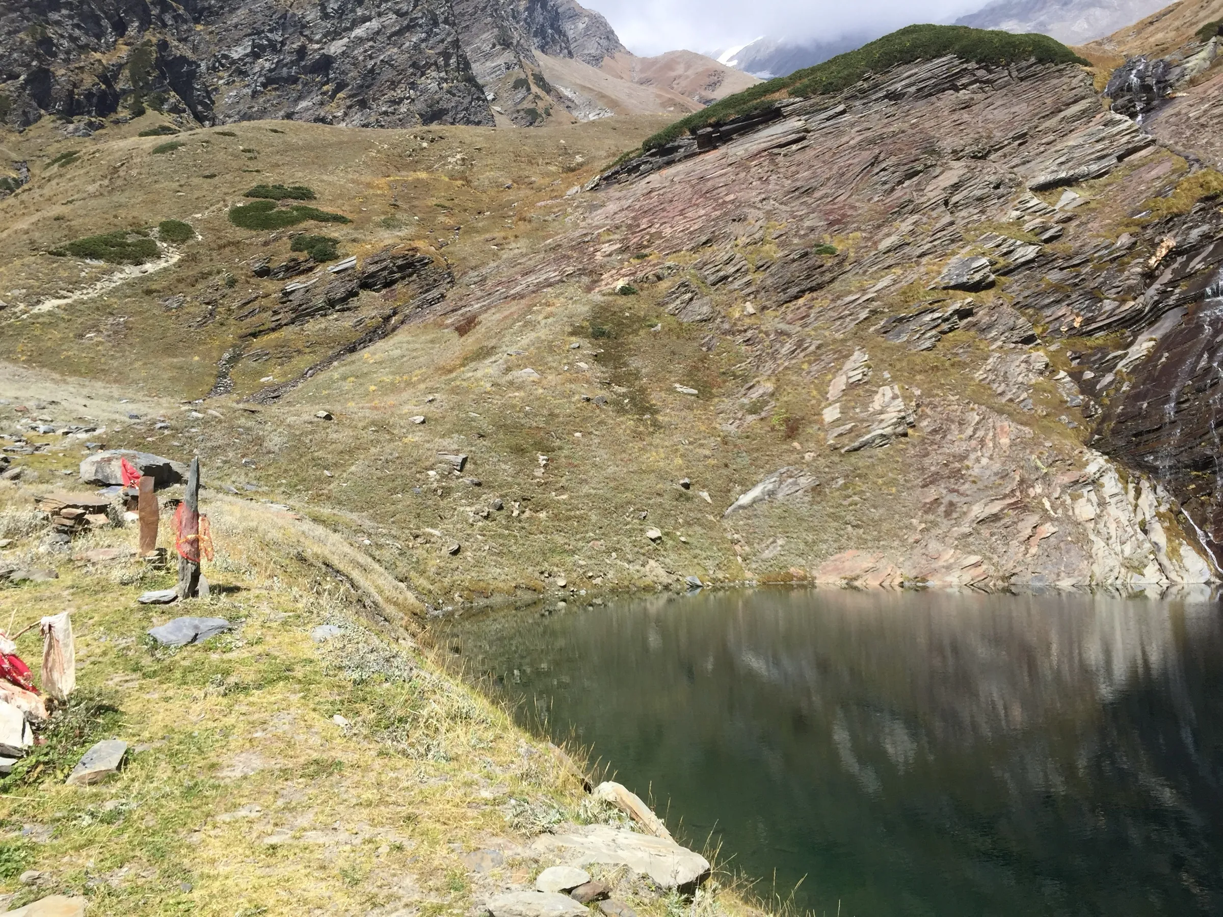
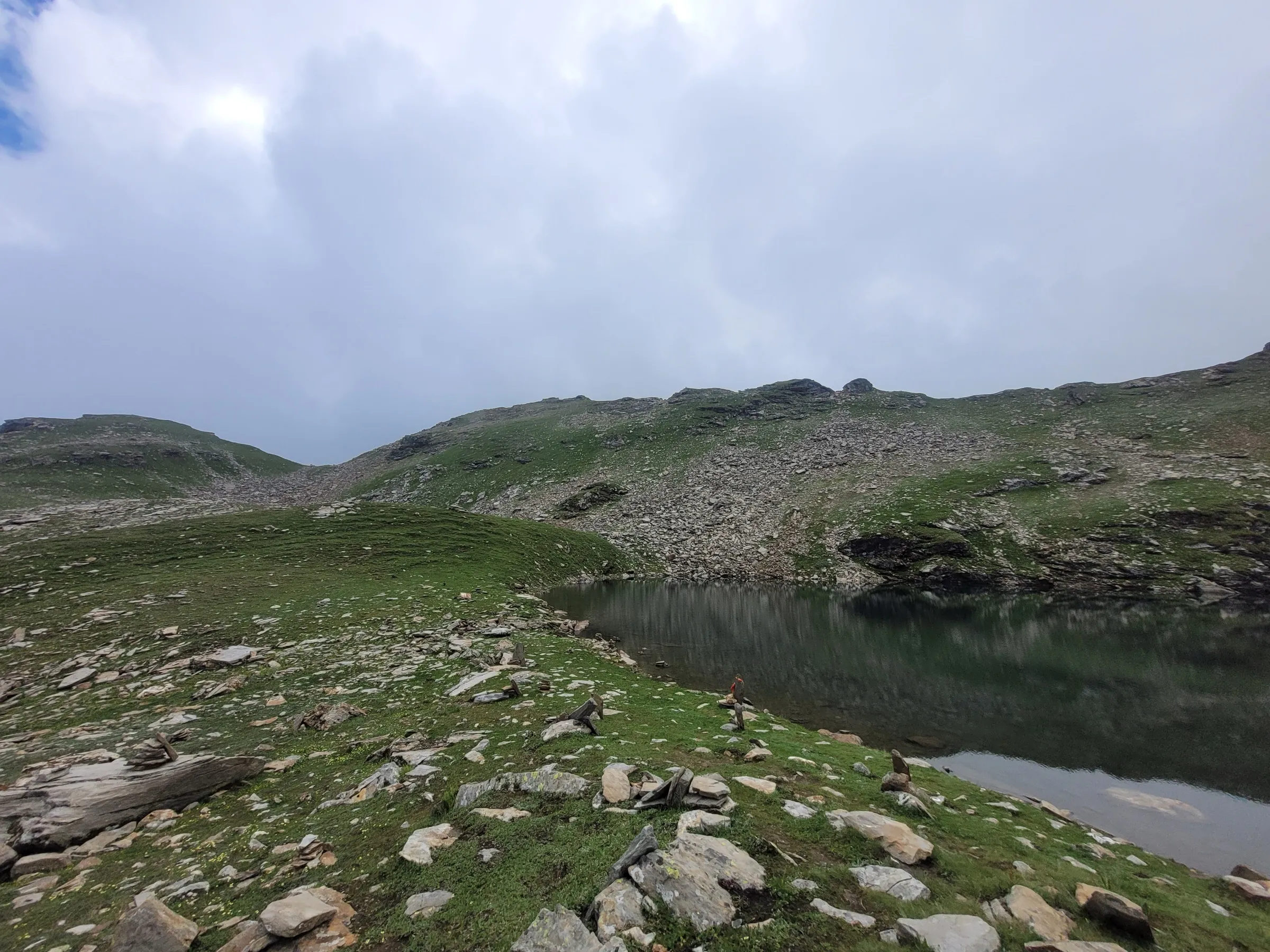
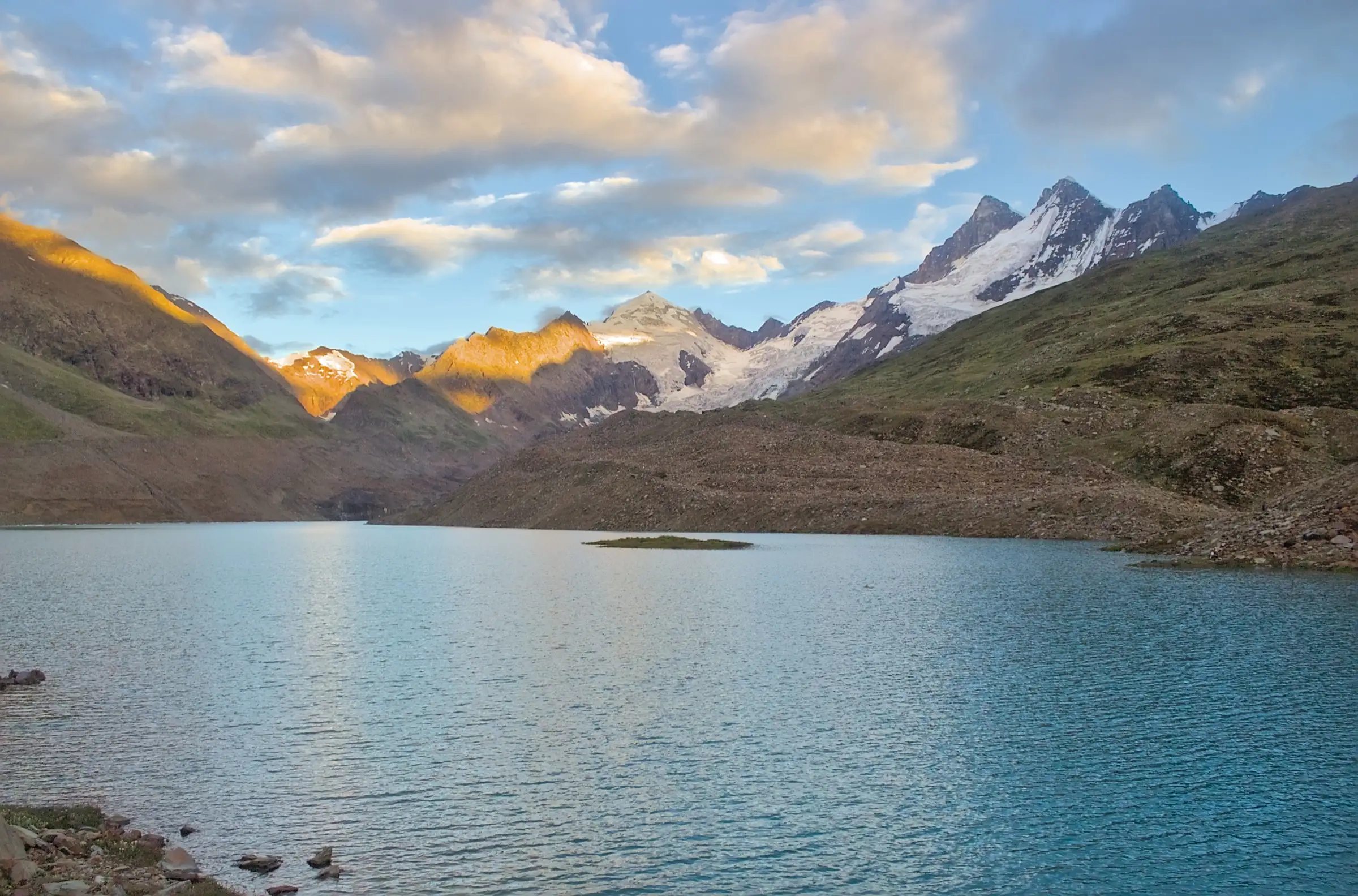
- A large, deep-blue glacial lake at about 4,140 m with floating ice and a small flowered island in the middle
- Hanging glaciers on the peaks around the lake, with waterfalls running into it
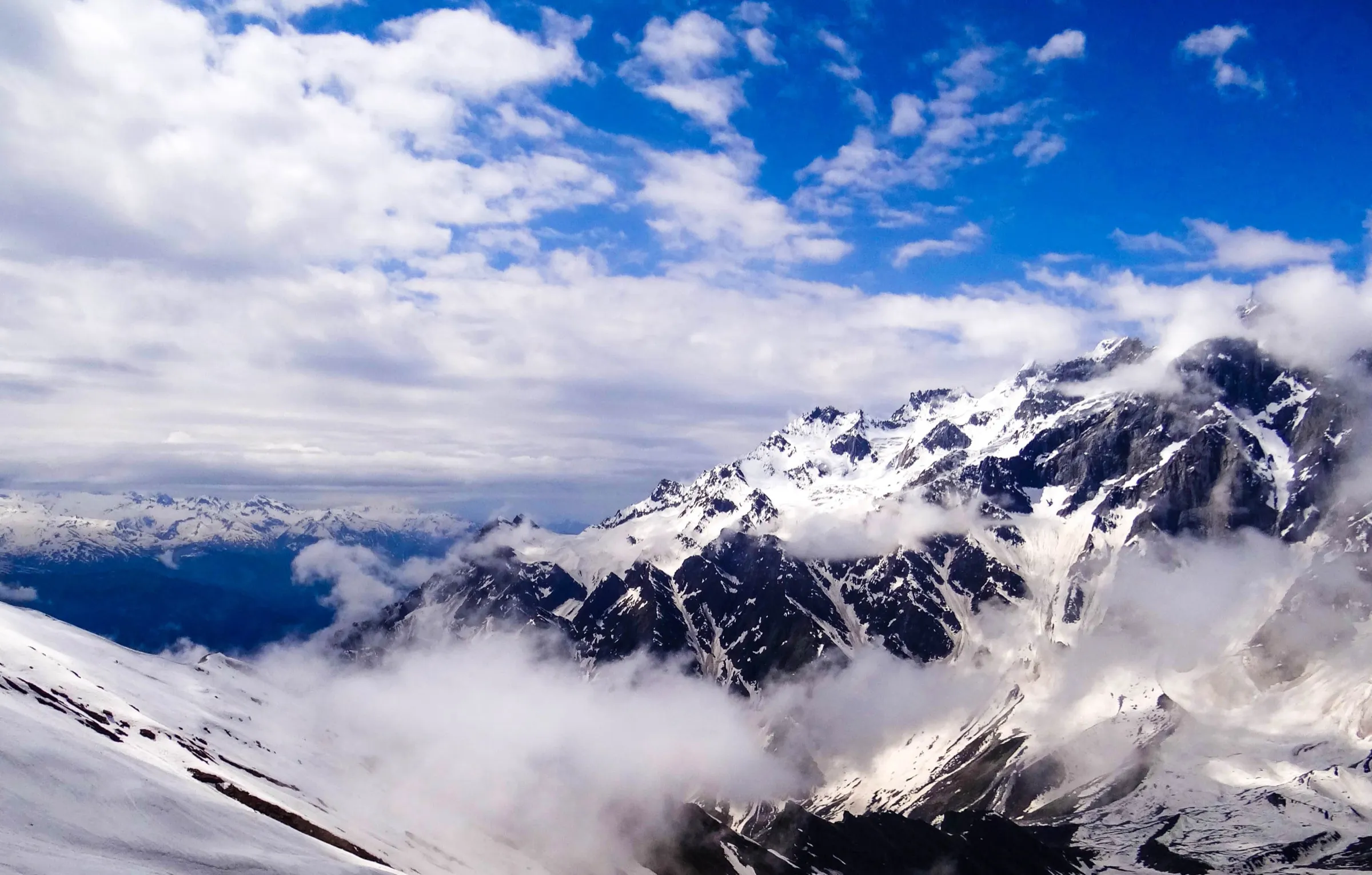
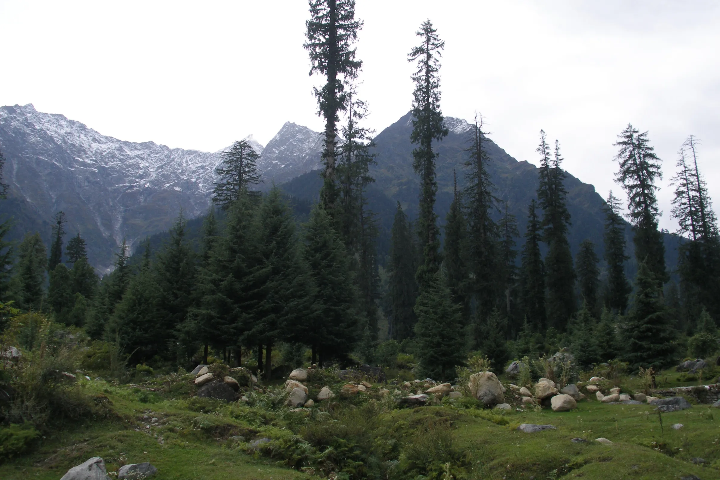
- Wide meadows, shepherd huts and grazing horses above Sissu, with views of the Pir Panjal range
- Ghepan Goh, the peak revered as the abode of Raja Ghepan, Lahaul's most honoured deity, watches over the valley
- Easy access: the trek starts about 40 km from Manali, just beyond the Atal Tunnel
Risks
- The trail is unmarked and crosses loose scree, boulder fields and landslide-prone gullies; with snow cover the route is hard to find, so go with a guide.
- Cold, fast river crossings on the way to the first camp: in monsoon, cross before about 10 am and carry a rope for the group.
- A slippery glacier patch near the first camp must be crossed with care.
- May still has heavy snow on the final climb to the lake; most operators start in June.
- Unannounced rain and cloud cut visibility, and nights drop to about 0 °C to -10 °C in September and October.
- Ghepan Lake is a fast-growing glacial lake; keep away from its unstable moraine banks and the glacier snout.
- Lahaul-Spiti's DDMA requires every trekker to register and get permission before starting and to check out on return (June 2026 advisory); unauthorised trekking can be fined.
Know before you go
Questions
Where does the Ghepan Lake trek start?
In Sissu village in Lahaul, about 40 km (1.5–2 hours) from Manali through the Atal Tunnel. Some groups walk from Sissu itself; others drive about 9 km on to Tori village and start walking there.
How high is Ghepan Lake and how long is the trek?
Operators put the lake at about 4,140–4,146 m (13,600 ft). Most run it as a 5-day trip from Manali with three nights in tents; Bikat Adventures lists about 28 km of walking.
When is the best time to do the Ghepan Lake trek?
June to October. Indiahikes advises June to September because May still has heavy snow on the final climb; June-July has snow patches, while August-September is snow-free and green. In winter the district administration bans trekking.
How difficult is the Ghepan Lake trek?
Operators rate it moderate. It needs no technical climbing, but there are steep scree sections, boulders, river crossings and a glacier patch, so some prior Himalayan trekking experience helps.
Do I need a permit for Ghepan Lake?
Lahaul-Spiti's District Disaster Management Authority made prior registration and permission compulsory for all trekking in the district in June 2026, with a check-out on return. Guided groups handle permits; self-guided trekkers should register with the district administration first. We could not confirm any official fee.
Is there mobile network on the trek?
Sissu is the last place with network and internet. On the trail you may catch a weak Airtel voice signal at one or two points, but the camps have no coverage.
In an emergency
Save these numbers before you lose signal. Tap to call.
- 112All emergenciesIndia’s single emergency number — works in every state
- 108Ambulance
- 1077District disaster control room
You are in
District: Lahaul and SpitiHimachal Pradesh
- Nearest hospital
- Keylong (district headquarters, beyond Sissu) or Manali for hospital care; serious cases go to Kullu or Chandigarh.
- Last ATM
- Manali is the safe bet; Indiahikes reports ATMs at Sissu, but Bikat Adventures says there are none after Manali.
- Phone network
- Sissu is the last place with mobile network and internet; on the trail there is only a weak Airtel voice signal at a couple of points on the way to Aliyas, and none at the camps.
Before you set off
- Tell someone your route and when you will be back.
- Carry a charged phone and a power bank.
- Download an offline map of the route.
- Turn back if the weather turns bad — the mountain will wait.
Questions about Ghepan Ghat Lake
No questions yet. Ask something and trekkers who have done it can answer.
Share your trek photo with #TreksAndTrails
I trekked this
Did Ghepan Ghat Lake look different from this page? Tell us what changed and we will check it.
Where this comes from
Sources
Last reviewed:
- Ghepan Ghat Lake Trek — Bikat Adventures
- Ghepan Lake Trek — Indiahikes
- Ghepan Ghat Trek — Himalayan Hikers
- Ghepan Lake Trek Guide - Route, Itinerary, Best Time & More — Capture A Trip
- Ghepan Ghat Lake Trek — TrekUp India
- Highlights Of Ghepan Ghat — Bikat Adventures
- Winter sets in, trekking, climbing banned in Lahaul-Spiti dist — The Tribune
- Trekkers must register before hitting Lahaul-Spiti trails now — Newswav (syndicated report)
Photos: UnpetitproleX, CC BY-SA 4.0; Avantikac98, CC BY-SA 4.0; Timothy A. Gonsalves, CC BY-SA 4.0