Chipla Kedar Trek
Pithoragarh, Uttarakhand
Opens without signal on this phone, with the map file and checklist. Saved for offline →
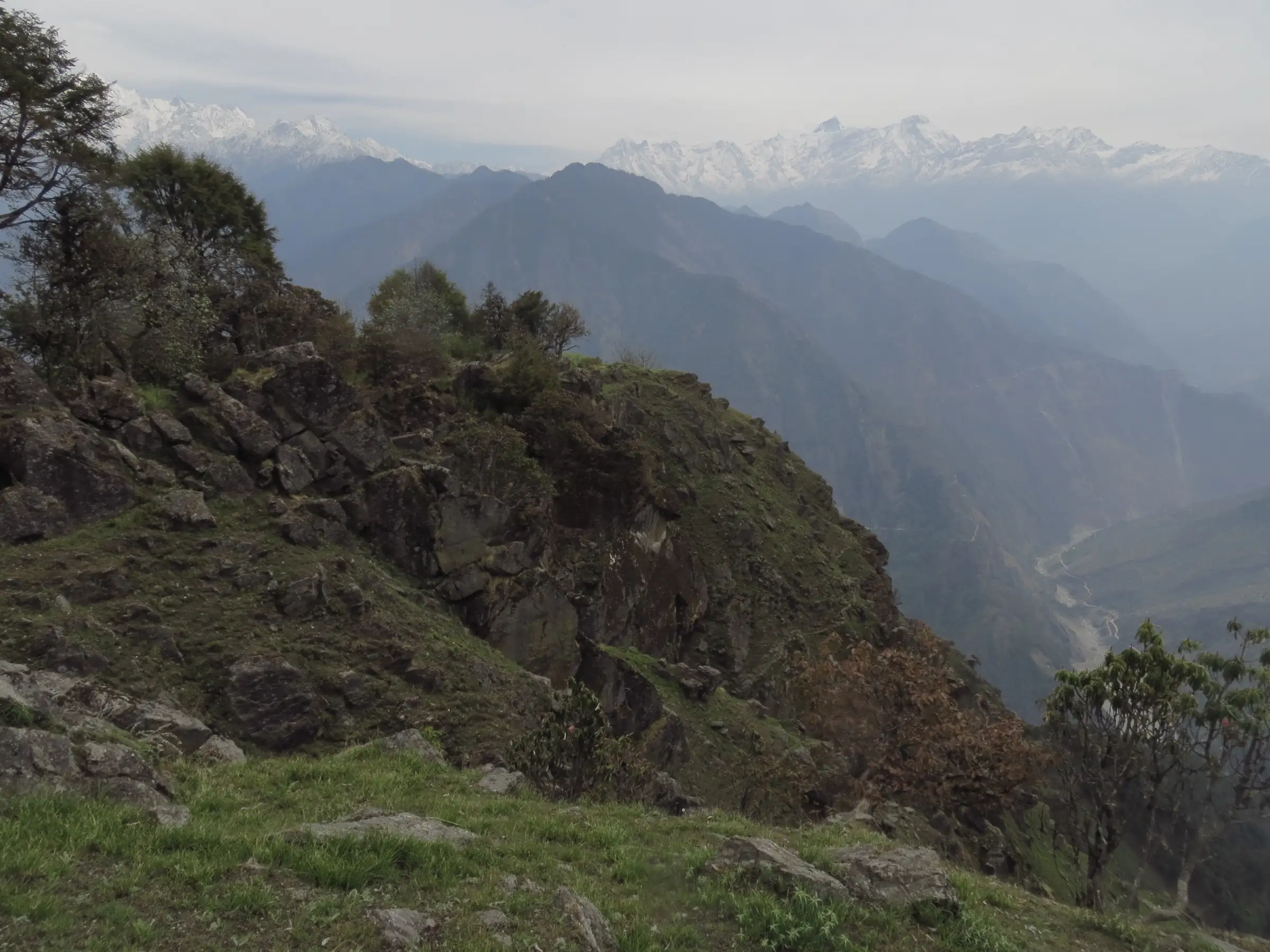 4,497 mhighest point
- Max altitude
- 4,497 m
- Days
- 8 days
- Distance
- 55 km
- Difficulty
- Difficult
Six trekking days of 5-12 km on an uncommercialised trail with no lodges, climbing from about 1,100 m at Tawaghat to the 4,497 m Najurikot ridge; camps sit above 3,600 m for several nights, so fitness, acclimatisation and a local guide are essential.
The route
Day by day
Day 1
Haldwani / Kathgodam → Dharchula
430 m → 900 m
Day 2
Dharchula (drive 19 km to Tawaghat) → Bunga (via Khela)
1,140 m → 2,000 m
Day 3
Bunga → Pinkhu (Tilargarhi)
2,000 m → 3,658 m
Day 4
Pinkhu → Talagarh (via Brahmkund)
3,658 m → 4,267 m
Day 5 · highest point
Talagarh → Pataudkund (via Chiplakund, Kakraulkund and Jauly)
4,267 m → 4,497 m → 4,300 m
Day 6
Pataudkund → Girchi
4,300 m → 3,000 m
Day 7
Girchi → Duku (via Tilandili)
3,000 m → 2,000 m
Day 8
Duku → Haldwani (drive via Pithoragarh)
2,000 m → 430 m
Ups and downs
Altitude profile
Where it is
Map
Trailhead and high point only — not a recorded track. Use it with a proper map.
Weather
Next 5 days on the trail
Live forecast for the trailhead and the high point. Mountain weather changes fast — check again on the morning you start.
Trailhead · Tawaghat (trail via Khela village)
at 1,140 mLoading forecast…
High point · Najurikot (Najurikund), seat of Chhipla Kedar
at 4,497 mLoading forecast…
Each day: high / low °C · rain mm and chance · snow cm · wind km/h
Weather data: Open-Meteo.comModel forecast, not an official warning. For alerts follow IMD and the local administration.
Plan the trip
How to reach
- Trailhead
- Tawaghat (trail via Khela village) (nearest town: Dharchula)
- Nearest railway
- Kathgodam
- Nearest airport
- Pantnagar Airport (Naini Saini, Pithoragarh, has limited regional flights)
- By road
- Kathgodam / Haldwani (about 290-300 km to Dharchula via Almora, Berinag and Pithoragarh or Didihat); Dharchula to Tawaghat (19 km)
- Drive
- About 10 h from Kathgodam
Plan the trip
Permits and fees
We could not confirm the current permit rules and fees from an official source. Check with the local forest department or tourism office before you go.
Plan the trip
Cost
Self-guided
₹12,000–20,000
With an operator
₹22,900–30,450
Per person, ex-Kathgodam for guided trips, ex-Dharchula for self-guided. Only one operator price was found (October 2026): eUttaranchal lists a 9-day package at ₹22,900 + 5% GST for groups of 6 or more, ₹26,000 for 4-5 and ₹29,000 for 2-3 people; forest fees are extra and foreigners pay more. Self-guided is our estimate: shared jeep to Tawaghat, a local guide and porters for six days, tent and stove hire, and food carried from Dharchula.
Gear
Top picks for this trek
The gear that matters most on this route, chosen from its altitude, season and risks.
 Ad · affiliate link
 Ad · affiliate link
 Ad · affiliate link
 Ad · affiliate link
 Ad · affiliate link
 Ad · affiliate link
 Ad · affiliate link
 Ad · affiliate link
Store buttons open a search on that store, not a product we picked. As an Amazon Associate we earn from qualifying purchases. Photos show the kind of item, not a specific product. Affiliate disclosure
Packing checklist
Matched to this trek: altitude, season, days and the risks on the route.
Packed 0 of 33
Nights near 4,497 m can drop close to freezing even in summer. Pack one more warm layer than you think.
Tick each item as it goes in the bag.
Know before you go
Good to know
- Mobile network
- Not confirmed. Dharchula has mobile service; expect no signal once the trail leaves the villages above Khela.
- Last ATM
- Dharchula
- Nearest hospital
- Dharchula for first care; Pithoragarh district hospital for serious cases
- Water
- Streams in the lower forest and the high kunds (Brahmkund, Chiplakund, Pataudkund) on the upper trail. Boil or treat all water, and do not wash or bathe with soap in the sacred kunds.
Highlights
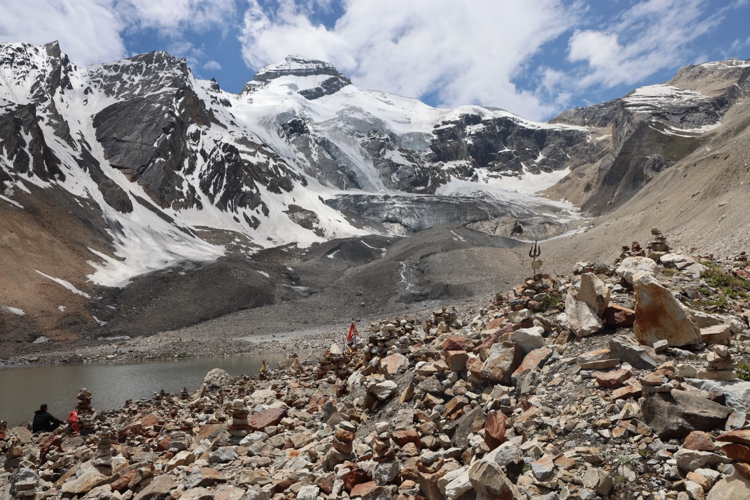
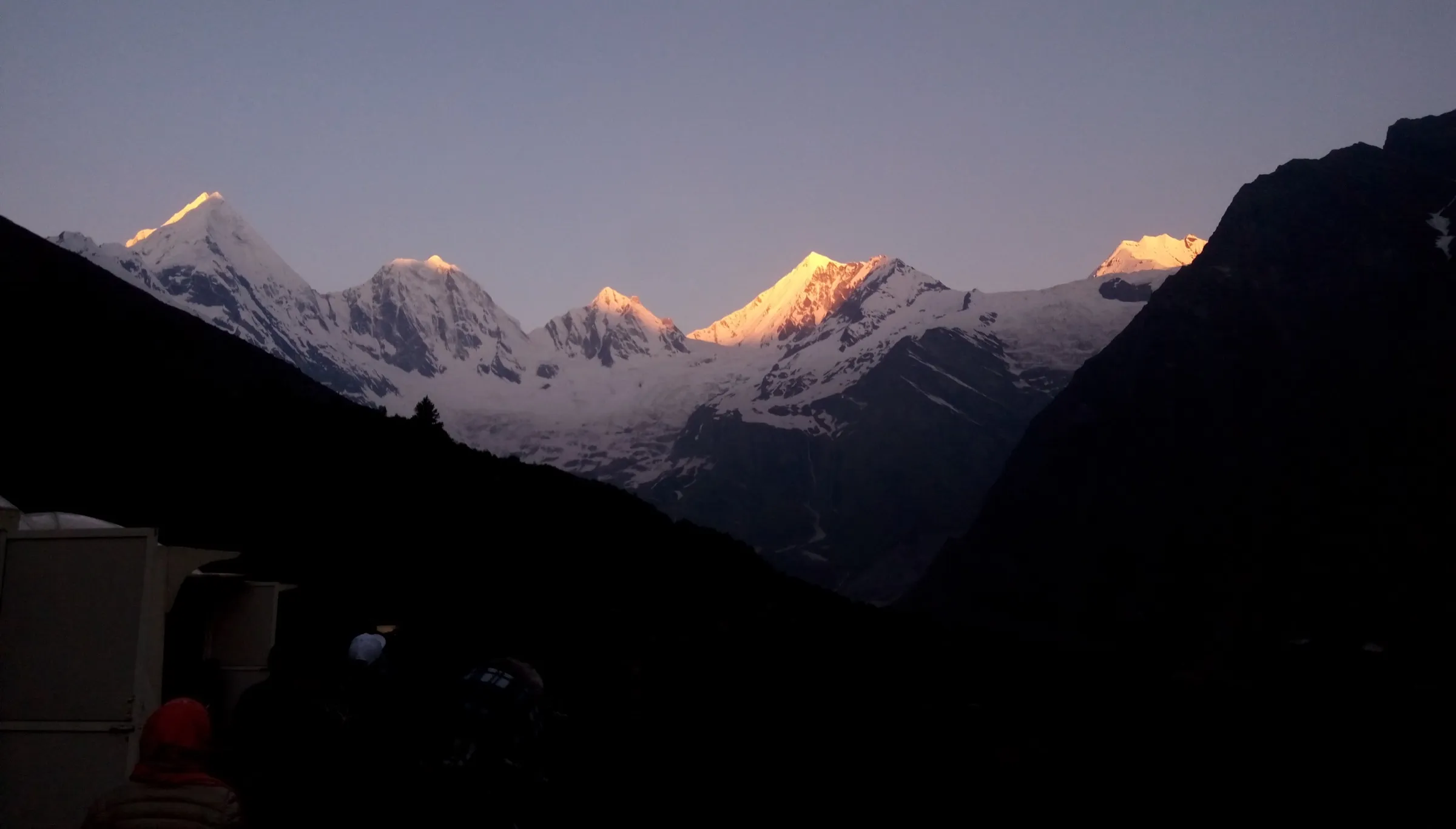
- Darshan at the high seat of Chhipla Kedar on Najurikot, the highest point of the Chhiplakot range between the Kali and Gori rivers, south of the Panchachuli peaks
- A chain of high sacred kunds: Brahmkund, Chiplakund, Kakraulkund, Pataudkund and Kedardwe
- Wide bugyals (high meadows) with Brahma Kamal near Brahmkund and views east to the peaks of western Nepal
- An unspoilt, uncommercialised trail through oak forest, with chances to see musk deer, bharal, Himalayan monal and griffon vultures
Risks
- Altitude: camps sit above 3,600 m from day 3 and the route tops out near 4,500 m with little room to descend quickly; people with altitude sickness or high blood pressure are advised not to go.
- No lodges, shops or marked trail on the upper route; go only with a local guide who knows the way between the kunds.
- Weather: operator weather notes say February brings snowfall and sub-zero nights; the monsoon (July-August) makes the lower forest trail slippery and prone to landslides on the Dharchula-Tawaghat road.
- Permits: the Dharchula area is near the Nepal and Tibet borders. One operator mentions Inner Line Permit assistance and forest entry fees, but we found no official permit rule for this trail; ask at the SDM office in Dharchula and the forest office before you go.
- Altitude and route figures on this page come from a single publisher whose numbers disagree with each other; camp altitudes above Talagarh are our estimates.
Know before you go
Questions
Who is worshipped at Chipla Kedar?
Chhipla Kedar, honoured in the Kedar name of Bhagwan Shiva, whose seat is on Najurikot (Najurikund, about 4,497 m), the highest point of the Chhiplakot range. The place was also known as Gupt Kailash (the hidden Kailash).
What is the Chhipla Jaat and when does it happen?
It is the villagers' own pilgrimage to Chhipla Kedar. The dhami or Bonia (the traditional priest) fixes the dates, and the yatris walk barefoot from Khela near Tawaghat with folk drums, bhankaras and the neja, a flag of red cloth collected from every family. eUttaranchal describes it as held on Bhado Purnima every third year, and elsewhere on the same site as every two years; confirm the date locally.
Are there rules trekkers must follow?
Yes. It is a religious trek: respect local customs, do not break the line of the yatris during the jaat, and do not carry or use prohibited things on the trek. The villagers themselves still walk barefoot to Chhipla Kedar during the jaat. We found no written rule for outside trekkers on footwear or offerings; ask the guide or the dhami and follow local practice at the shrine and the kunds.
How many days does the Chipla Kedar trek take?
eUttaranchal's suggested route takes 8 days from Haldwani: drive to Dharchula, drive to Tawaghat and walk via Khela to Bunga, then Pinkhu, Talagarh, Pataudkund, Girchi and Duku before driving back, about 55 km on foot. A longer 10-day route from Munsiyari via Baram, Kanar and Bheman is also described.
When is the best time to go?
April to June and September to October. Spring brings flowering meadows and rhododendron; autumn brings the clearest views. Winter brings snow and freezing nights on the upper route.
In an emergency
Save these numbers before you lose signal. Tap to call.
- 112All emergenciesIndia’s single emergency number — works in every state
- 108Ambulance
- 1077District disaster control room
You are in
District: PithoragarhUttarakhand
- Nearest hospital
- Dharchula for first care; Pithoragarh district hospital for serious cases
- Last ATM
- Dharchula
- Phone network
- Not confirmed. Dharchula has mobile service; expect no signal once the trail leaves the villages above Khela.
Before you set off
- Tell someone your route and when you will be back.
- Carry a charged phone and a power bank.
- Download an offline map of the route.
- Turn back if the weather turns bad — the mountain will wait.
Questions about Chipla Kedar
No questions yet. Ask something and trekkers who have done it can answer.
Share your trek photo with #TreksAndTrails
I trekked this
Did Chipla Kedar look different from this page? Tell us what changed and we will check it.
Where this comes from
Sources
Last reviewed:
- Chipla Kedar Trekking Guide, Chhipla Kedar - ChiplaKund Trek Route (archived 13 Feb 2026; live page now returns 410) — eUttaranchal
- Chhipla Jaat — eUttaranchal
- Chipla Kedar Trekking Tour ex Kathgodam (9 days / 8 nights) — eUttaranchal
Photos: Bheinskitang, CC BY-SA 4.0