Darma Valley Trek
Pithoragarh, Uttarakhand
Opens without signal on this phone, with the map file and checklist. Saved for offline →
- Max altitude
- 3,500 m
- Days
- 7 days
- Distance
- 10 km
- Difficulty
- Moderate
The walk itself is short (about 10 km there and back from Dugtu, roughly 200-300 m of climbing), but the jeep road lifts you from about 900 m at Dharchula to about 3,300 m in one day, so altitude sickness is the main challenge, and the last stretch crosses rough moraine below the Meola Glacier.
Photos
On the trail
The route
Day by day
Day 1
Kathgodam → Dharchula
554 m → 915 m
Day 2
Dharchula → Dugtu (by jeep via Sobla and Dar)
915 m → 3,300 m
Day 3
Dugtu → Dugtu (acclimatisation, short walks to Dantu)
3,300 m → 3,300 m
Day 4 · highest point
Dugtu → Dugtu (via Panchachuli Base Camp and Zero Point)
3,300 m → 3,500 m → 3,300 m
Day 5
Dugtu → Dharchula
3,300 m → 915 m
Day 6
Dharchula → Pithoragarh
915 m → 1,514 m
Day 7
Pithoragarh → Kathgodam
1,514 m → 554 m
Ups and downs
Altitude profile
Where it is
Map
Trailhead and high point only — not a recorded track. Use it with a proper map.
Weather
Next 5 days on the trail
Live forecast for the trailhead and the high point. Mountain weather changes fast — check again on the morning you start.
Trailhead · Dugtu (Dantu)
at 3,300 mLoading forecast…
High point · Panchachuli Base Camp (Meola Glacier snout)
at 3,500 mLoading forecast…
Each day: high / low °C · rain mm and chance · snow cm · wind km/h
Weather data: Open-Meteo.comModel forecast, not an official warning. For alerts follow IMD and the local administration.
Plan the trip
How to reach
- Trailhead
- Dugtu (Dantu) (nearest town: Dharchula)
- Nearest railway
- Kathgodam (Tanakpur is nearer but has fewer trains)
- Nearest airport
- Naini Saini Airport, Pithoragarh (limited regional flights); Pantnagar for more connections
- By road
- Kathgodam/Haldwani to Dharchula (about 330 km via Almora or Pithoragarh); Dharchula to Dugtu (about 75 km by shared or hired jeep via Tawaghat, Sobla, Dar and Baling; rough, weather-dependent road)
- Drive
- About 11 h from Haldwani
Plan the trip
Permits and fees
We could not confirm the current permit rules and fees from an official source. Check with the local forest department or tourism office before you go.
Plan the trip
Cost
Self-guided
₹6,000–12,000
With an operator
₹20,000–29,500
Per person, ex-Kathgodam. Guided prices published online: eUttaranchal Panchachuli Darma Valley package (6 days) ₹19,900 (7+ people) to ₹28,000 (2-3 people) + 5% GST; Connecting Mountain Soul, Dharchula (7 days, via TourTravelWorld) ₹22,500 including tax. Self-guided is an estimate: bus to Dharchula, shared jeep to Dugtu and back, four or five nights in guesthouses and village homestays, simple meals, and a local guide for the base camp day.
Gear
Top picks for this trek
The gear that matters most on this route, chosen from its altitude, season and risks.
 Ad · affiliate link
 Ad · affiliate link
 Ad · affiliate link
 Ad · affiliate link
 Ad · affiliate link
 Ad · affiliate link
 Ad · affiliate link
 Ad · affiliate link
Store buttons open a search on that store, not a product we picked. As an Amazon Associate we earn from qualifying purchases. Photos show the kind of item, not a specific product. Affiliate disclosure
Packing checklist
Matched to this trek: altitude, season, days and the risks on the route.
Packed 0 of 32
Nights near 3,500 m can drop close to freezing even in summer. Pack one more warm layer than you think.
Tick each item as it goes in the bag.
Know before you go
Good to know
- Mobile network
- BSNL has the widest coverage but is patchy; Jio works around Sobla and Dar; little or no signal in the upper villages. ITBP posts at Sela and Baling have satellite phones for emergencies.
- Last ATM
- Dharchula (it can run out of cash; draw money in Pithoragarh or Almora). No cards or UPI in the valley.
- Nearest hospital
- Community Health Centre, Dharchula for first care; District Hospital, Pithoragarh for serious cases
- Water
- Streams and village taps at Dugtu and Dantu; streams from the Meola Glacier on the way to base camp. There are no shops beyond Dugtu, so carry food and water for the day. Treat all water.
Highlights
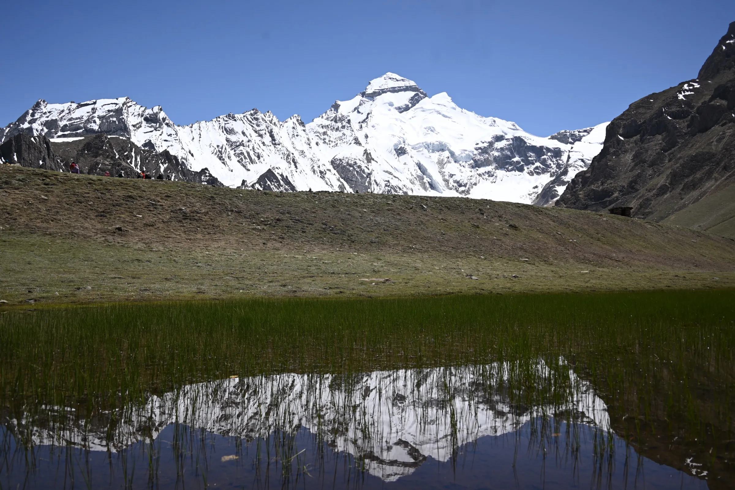
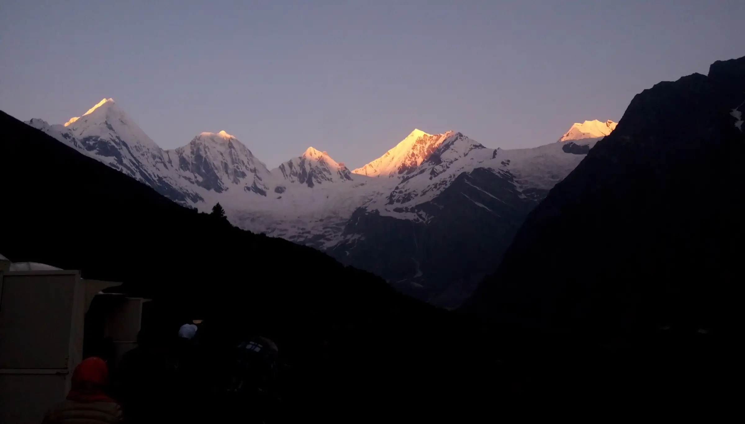
- Close-up view of the five Panchachuli peaks and the Meola Glacier from base camp and Zero Point
- Stone-built villages of the Darma valley, Dugtu and Dantu, with homestays run by local families
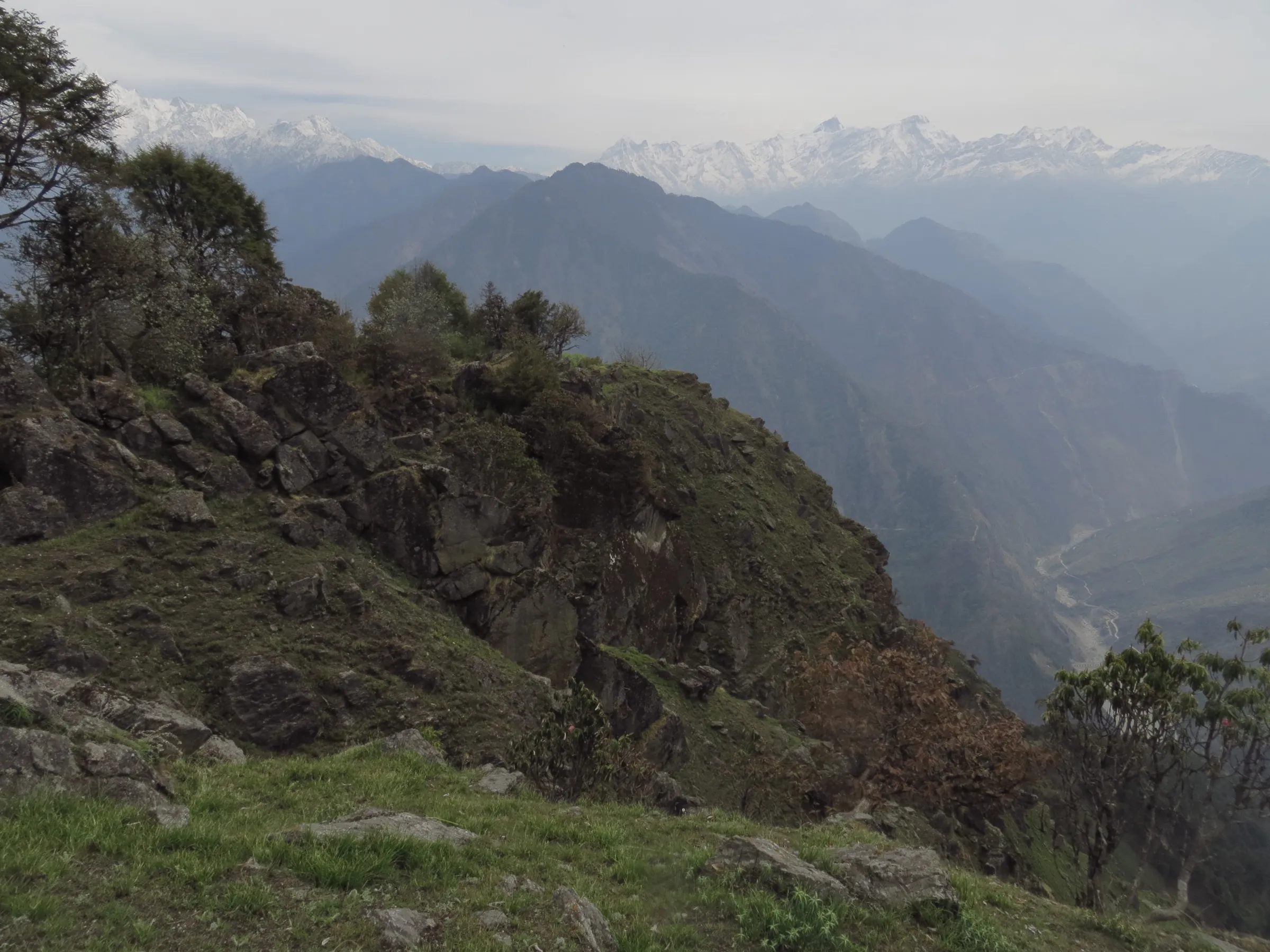
- Rhododendron and juniper slopes with snow patches in May and June
- The five peaks are honoured locally as the five chulhas (hearths) where the Pandavas cooked their last meal on their journey to Swarga
Risks
- The jeep climbs from about 900 m to about 3,300 m in one day; spend a rest day at Dugtu before walking to base camp and descend if headache or nausea worsens.
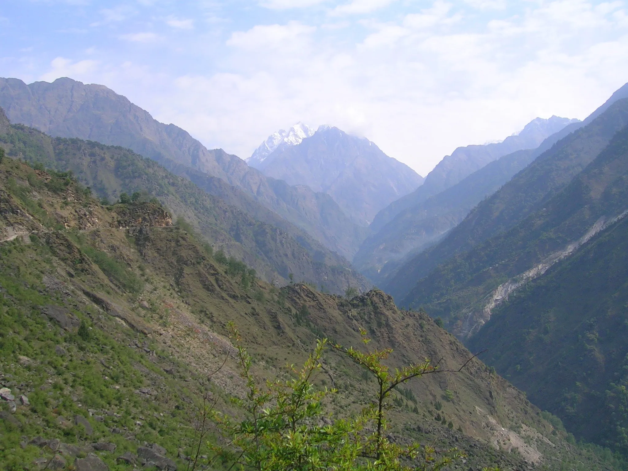
- July-August monsoon rain brings landslides on the Dharchula-Darma road; travel is slow and sometimes impossible.
- November and April are shoulder months: early or late snow, cold nights and some homestays closed.
- This is a border area: carry the Inner Line Permit and ID, and register at the ITBP posts at Sela and Baling.
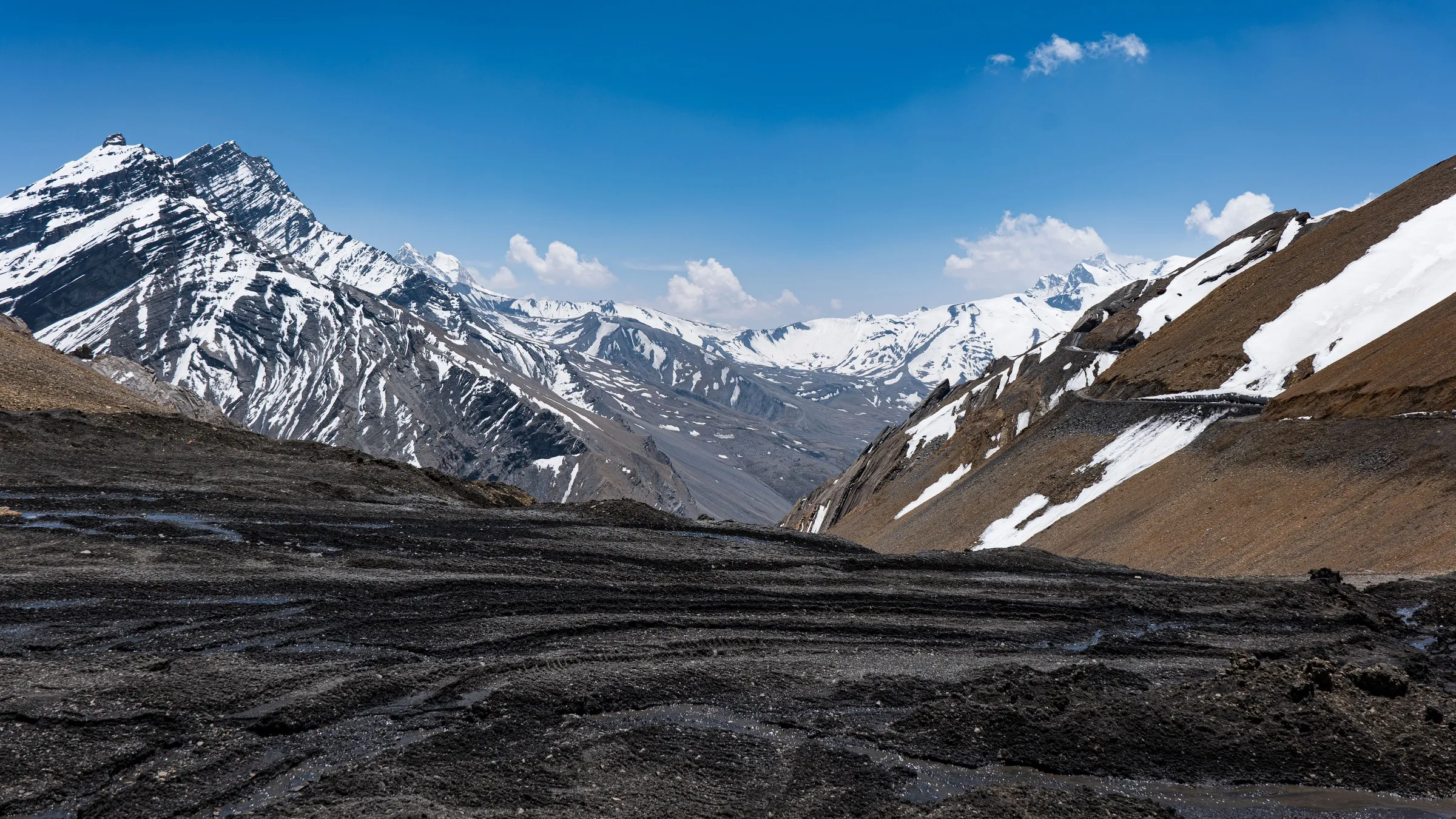
- The road beyond Dharchula is rough and needs a 4x4 in bad weather; carry enough cash, as there is no ATM after Dharchula.
Know before you go
Questions
Can you drive to Panchachuli Base Camp now?
You can drive to Dugtu and Dantu villages, as the motor road now reaches the upper Darma valley. From Dugtu you walk about 4-5 km each way to Panchachuli Base Camp and Zero Point below the Meola Glacier. The older 60 km trek from Sobla and Dar through Sela and Baling now mostly follows the road.
Do I need a permit for the Darma valley?
Yes. The valley is in the Inner Line border area, so Indian trekkers need an Inner Line Permit from the SDM office in Dharchula, with photo ID and passport photos, and must register at the ITBP posts at Sela and Baling. Foreign nationals need a Protected Area Permit. We could not confirm the current fee from an official source, so check at the SDM office in Dharchula.
What is the best time for the Darma Valley trek?
May-June and September-October. July and August bring monsoon landslides on the road, and from December the trail is under snow and most villagers move down to lower valleys.
How difficult is the Panchachuli Base Camp walk?
The walk from Dugtu is short, about 10 km there and back in 5-7 hours with a modest climb. The bigger challenge is altitude, because the road brings you to about 3,300 m in a single day, so a rest day at Dugtu is wise.
Is there mobile network and an ATM in Darma valley?
BSNL works patchily and Jio only in the lower villages near Sobla and Dar. The last ATM is in Dharchula and it sometimes runs out of cash, so carry enough money for the whole trip.
In an emergency
Save these numbers before you lose signal. Tap to call.
- 112All emergenciesIndia’s single emergency number — works in every state
- 108Ambulance
- 1077District disaster control room
You are in
District: PithoragarhUttarakhand
- Nearest hospital
- Community Health Centre, Dharchula for first care; District Hospital, Pithoragarh for serious cases
- Last ATM
- Dharchula (it can run out of cash; draw money in Pithoragarh or Almora). No cards or UPI in the valley.
- Phone network
- BSNL has the widest coverage but is patchy; Jio works around Sobla and Dar; little or no signal in the upper villages. ITBP posts at Sela and Baling have satellite phones for emergencies.
Before you set off
- Tell someone your route and when you will be back.
- Carry a charged phone and a power bank.
- Download an offline map of the route.
- Turn back if the weather turns bad — the mountain will wait.
Questions about Darma Valley
No questions yet. Ask something and trekkers who have done it can answer.
Share your trek photo with #TreksAndTrails
I trekked this
Did Darma Valley look different from this page? Tell us what changed and we will check it.
Where this comes from
Sources
Last reviewed:
- Darma Valley Trek — Himalaya Shelter
- Panchachuli Darma Valley Tour Package (6 Days / 5 Nights) — eUttaranchal
- Panchachuli Base Camp and Adi Kailash - Om Parvat Tour (Connecting Mountain Soul) — Connecting Mountain Soul
- Darma Valley trek guide — Explurger
- Darma Valley Trek: Detailed Travel Guide — Discover With Dheeraj
- Panchachuli Base Camp Trek (trekker interview) — Indiahikes
- Darma valley and Panch Chuli base camp (Spectrum, 13 Oct 2002) — The Tribune
- Darma Valley Trek – How to BEST Plan your Trip — Vargis Khan
- Darma Valley Trek — Himalayan Hikers
Photos: Kuldeep vittan, CC BY-SA 4.0; Kuldeep vittan, CC BY-SA 4.0; Subratanath25, CC BY-SA 4.0