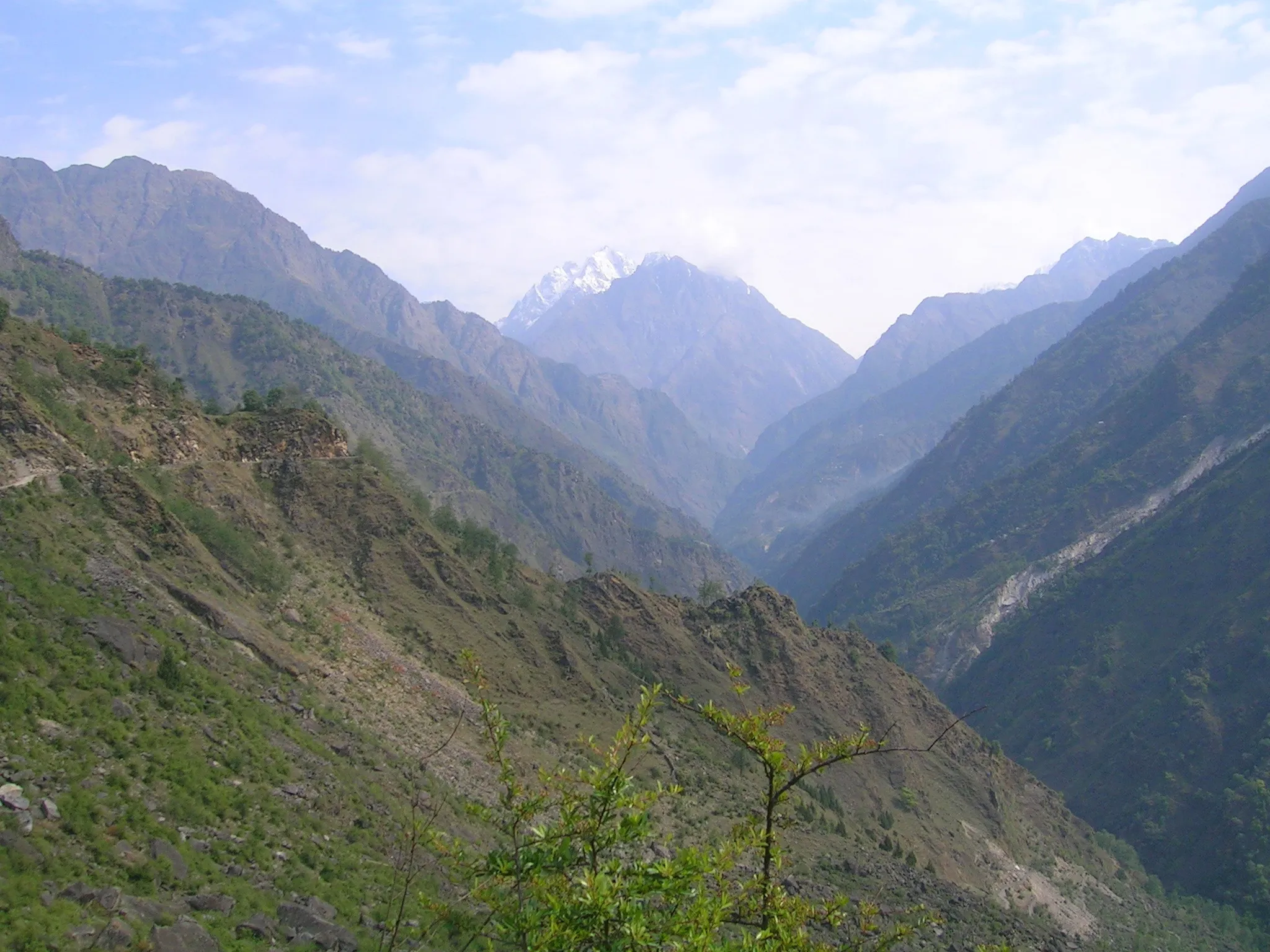
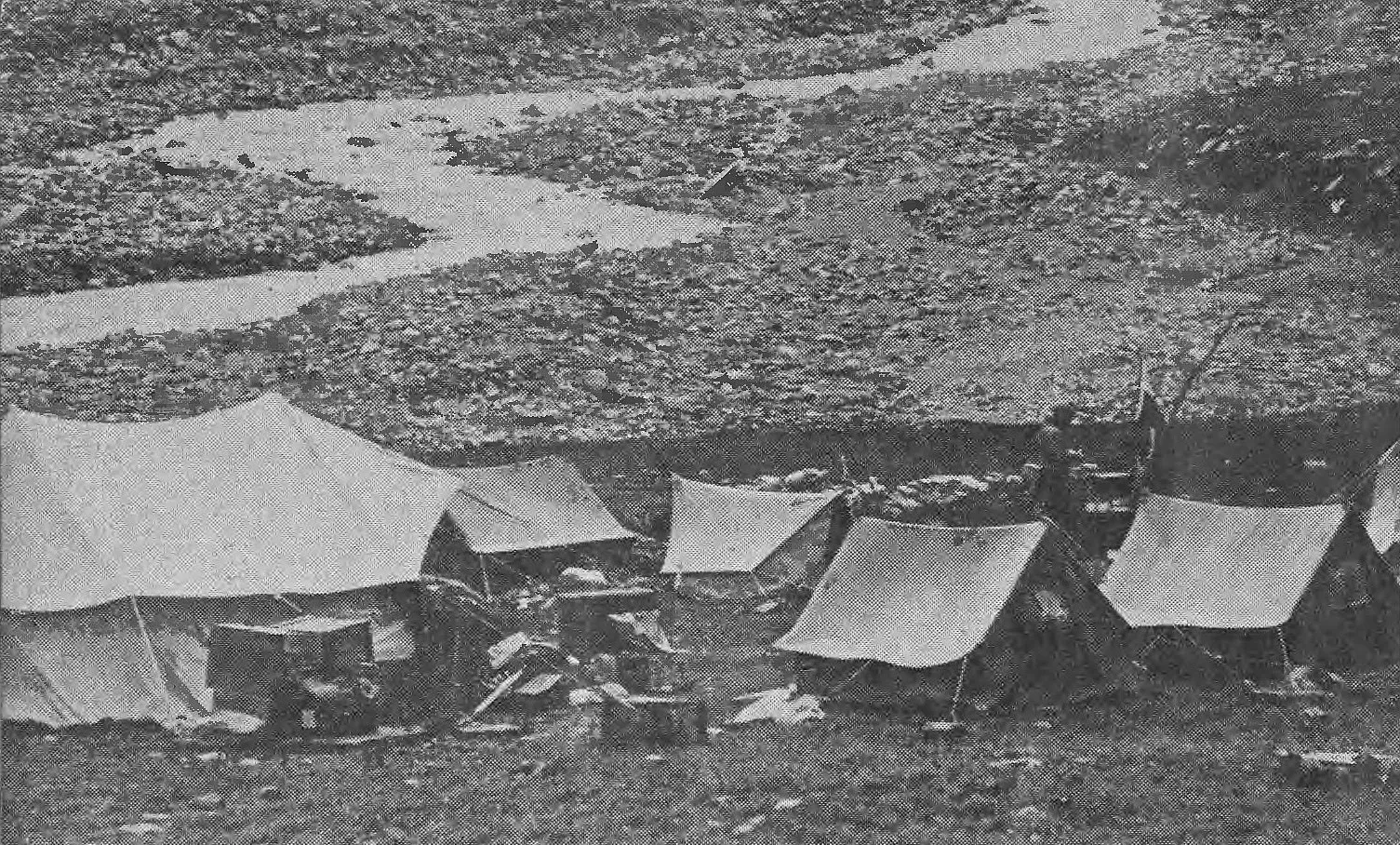
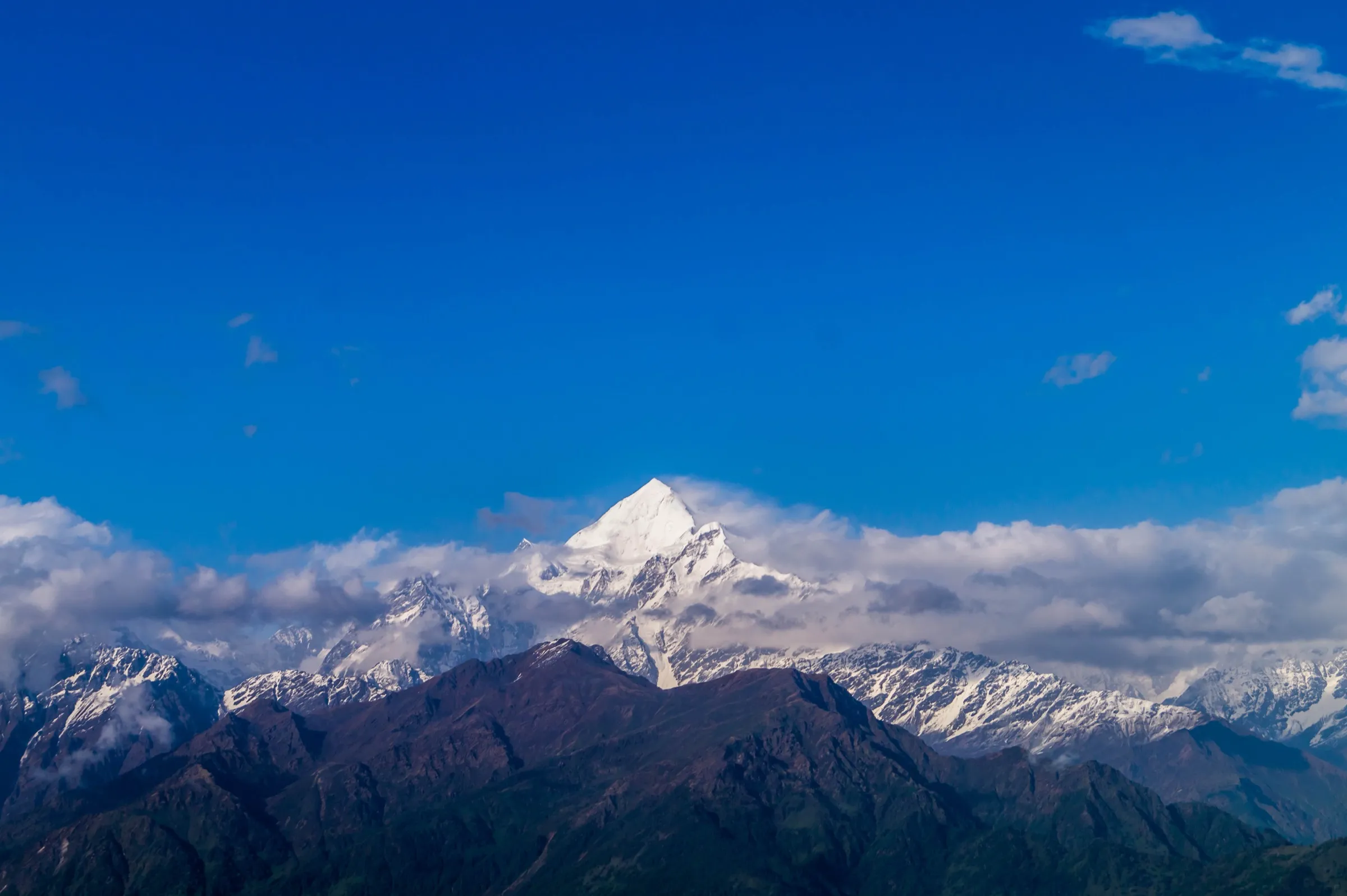
Anta Dhura Pass Trek
Pithoragarh, Uttarakhand
Opens without signal on this phone, with the map file and checklist. Saved for offline →
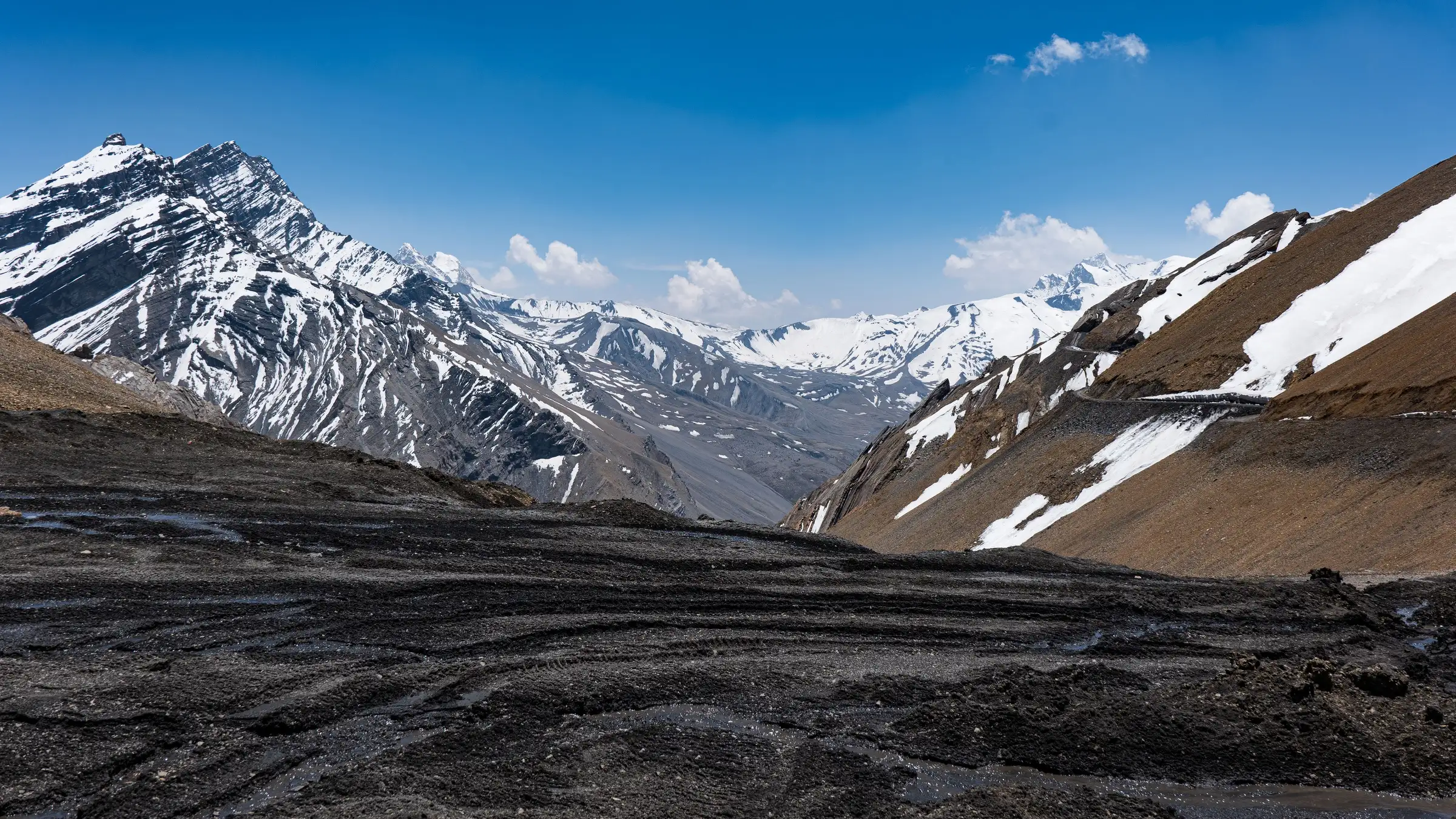
- Max altitude
- 5,360 m
- Days
- 12 days
- Distance
- 112 km
- Difficulty
- Challenging
A high, rarely crossed border pass of about 5,360 m in a restricted area next to the Tibet frontier. Moddie's 1960 Himalayan Journal account describes steps cut in ice on the far side of the pass, and the route is remote for many days with no services beyond Milam. Army/ITBP clearance is required and civilian access is not confirmed.
Photos
On the trail
The route
Day by day
Day 1
Kathgodam → Munsiyari
554 m → 2,290 m
Day 2
Munsiyari → Lilam (via Jimighat)
2,290 m → 1,850 m
Day 3
Lilam → Bugdiyar
1,850 m → 2,500 m
Day 4
Bugdiyar → Rilkot
2,500 m → 3,130 m
Day 5
Rilkot → Milam village (via Martoli)
3,130 m → 3,430 m
Day 6
Milam village → Milam village (acclimatisation and permit checks)
3,430 m → 3,430 m
Day 7
Milam village → Dung
3,430 m → 4,100 m
Day 8 · highest point
Dung → Topidhunga (over Unta Dhura)
4,100 m → 5,360 m → 4,000 m
Day 9
Topidhunga → Girthi Dobala
4,000 m → 3,600 m
Day 10
Girthi Dobala → Malari
3,600 m → 3,050 m
Day 11
Malari → Joshimath
3,050 m → 1,890 m
Day 12
Joshimath → Rishikesh
1,890 m → 340 m
Ups and downs
Altitude profile
Where it is
Map
Trailhead and high point only — not a recorded track. Use it with a proper map.
Weather
Next 5 days on the trail
Live forecast for the trailhead and the high point. Mountain weather changes fast — check again on the morning you start.
Trailhead · Munsiyari (Munsyari, Munsiari)
at 2,290 mLoading forecast…
High point · Unta Dhura pass
at 5,360 mLoading forecast…
Each day: high / low °C · rain mm and chance · snow cm · wind km/h
Weather data: Open-Meteo.comModel forecast, not an official warning. For alerts follow IMD and the local administration.
Plan the trip
How to reach
- Trailhead
- Munsiyari (Munsyari, Munsiari)
- Nearest railway
- Kathgodam (start); Rishikesh/Haridwar (finish)
- Nearest airport
- Pantnagar Airport (about 250 km from Munsiyari); Jolly Grant, Dehradun, at the Malari end
- By road
- Kathgodam to Munsiyari (about 275 km via Almora and Bageshwar, 9-11 hours); Malari to Joshimath (about 60 km) at the finish
- Drive
- About 10 h from Kathgodam
Plan the trip
Permits and fees
We could not confirm the current permit rules and fees from an official source. Check with the local forest department or tourism office before you go.
Plan the trip
Cost
Self-guided
₹35,000–60,000
With an operator
₹90,000–1,60,000
Per person, ex-Kathgodam. Estimates only: no operator publishes a price for this crossing (October 2026). Outlook Traveller (2014) named Mountain Shepherds and Snow Crystal Adventures for logistics; any guided trip would be a custom, expedition-style booking. Self-guided estimate covers jeep Kathgodam-Munsiyari and Malari-Rishikesh, a local guide and porters or mules for about 9 walking days, tents and food. Outlook Traveller also listed a Rs 10,000 forest deposit at Joshimath in 2014; this is not a current official fee.
Gear
Top picks for this trek
The gear that matters most on this route, chosen from its altitude, season and risks.
 Ad · affiliate link
 Ad · affiliate link
 Ad · affiliate link
 Ad · affiliate link
 Ad · affiliate link
 Ad · affiliate link
 Ad · affiliate link
 Ad · affiliate link
Store buttons open a search on that store, not a product we picked. As an Amazon Associate we earn from qualifying purchases. Photos show the kind of item, not a specific product. Affiliate disclosure
Packing checklist
Matched to this trek: altitude, season, days and the risks on the route.
Packed 0 of 34
Nights near 5,360 m can drop close to freezing even in summer. Pack one more warm layer than you think.
Tick each item as it goes in the bag.
Know before you go
Good to know
- Mobile network
- Mobile signal in Munsiyari; plan for no signal from Lilam until the Malari/Joshimath side.
- Last ATM
- Munsiyari (start) or Joshimath (finish)
- Nearest hospital
- Health centre at Munsiyari; Pithoragarh district hospital or Joshimath for serious cases. Any evacuation from the pass area depends on the Army/ITBP.
- Water
- Gori Ganga and side streams up to Milam, glacier streams on the Girthi side; water is silty near glaciers. Boil or treat all water.
Highlights
- Unta Dhura, about 5,360 m: the old trade pass between Johar (Milam) and Tibet
- The Gori Ganga gorge and the abandoned Bhotia trading villages of Martoli and Milam
- Crossing from Kumaon's Johar valley to Garhwal's Girthi valley, a traverse only a handful of trekking parties have made
- Topidhunga camping ground on the old trading route in the Girthi valley
Risks
- ACCESS UNCONFIRMED: the route beyond Milam lies in a restricted border zone next to the Tibet frontier. Army/ITBP clearance is required, and we found no current notice that civilians are permitted to cross Unta Dhura. Do not plan this crossing without written permission from the district administration and the Army/ITBP.
- No operator sells this crossing as a trek (October 2026). Outlook Traveller (2014) said only about half a dozen trekking parties had done it.
- Permits listed by Outlook Traveller in 2014 (Inner Line Permits from the DM offices at Gopeshwar and Pithoragarh, a forest deposit at Joshimath and reporting to the Army at Tapovan, Joshimath) may have changed; confirm locally.
- High pass of about 5,360 m: altitude sickness risk; a 1960 Himalayan Journal account describes ice on the far side that needed cut steps.
- Monsoon (July to early September) brings landslides and floods in the Gori Ganga gorge; heavy snow blocks the upper route from late autumn to late spring.
- Road building by the BRO in both valleys changes road heads and adds blasting and debris on the trail.
Know before you go
Questions
Can civilians trek over Unta Dhura?
Not confirmed. The pass is in a restricted border area beyond Milam, and Army/ITBP clearance is required. We found no current official notice opening it to civilian trekkers and no operator selling the crossing. Treat it as closed to you until the district administration and the Army/ITBP give written permission.
How high is Unta Dhura?
About 5,360 m. A 1997 expedition account gives 5,360 m, the Himalayan Journal (1960) gives 17,640 ft (about 5,377 m), and a 2025 Wikimedia Commons photo description gives about 5,350 m.
Which permits are needed?
Outlook Traveller (2014) listed Inner Line Permits from the District Magistrate offices in Gopeshwar (Garhwal) and Pithoragarh (Kumaon), a forest deposit at Joshimath and reporting to the Army (GSO) at Tapovan, Joshimath. These are not current official rules; check with the SDM office in Munsiyari and the DM offices before planning.
How long does the crossing take?
Outlook Traveller says the traverse from the Girthi valley to Munsiyari takes about a fortnight. Our outline is 12 days from Kathgodam to Rishikesh, with about 9 walking days; stage distances beyond Milam are approximate.
In an emergency
Save these numbers before you lose signal. Tap to call.
- 112All emergenciesIndia’s single emergency number — works in every state
- 108Ambulance
- 1077District disaster control room
You are in
District: PithoragarhUttarakhand
- Nearest hospital
- Health centre at Munsiyari; Pithoragarh district hospital or Joshimath for serious cases. Any evacuation from the pass area depends on the Army/ITBP.
- Last ATM
- Munsiyari (start) or Joshimath (finish)
- Phone network
- Mobile signal in Munsiyari; plan for no signal from Lilam until the Malari/Joshimath side.
Before you set off
- Tell someone your route and when you will be back.
- Carry a charged phone and a power bank.
- Download an offline map of the route.
- Turn back if the weather turns bad — the mountain will wait.
Questions about Anta Dhura Pass
No questions yet. Ask something and trekkers who have done it can answer.
Share your trek photo with #TreksAndTrails
I trekked this
Did Anta Dhura Pass look different from this page? Tell us what changed and we will check it.
Where this comes from
Sources
Last reviewed:
- The road less taken — Outlook Traveller
- Indian Women's First Trans Himalayan Journey 1997 — India Travelogue
- A High Walk in the Central Himalaya — The Himalayan Journal (Himalayan Club)
Photos: Harshit SR, CC BY-SA 4.0; Harshit SR, CC BY-SA 4.0