Ahobilam Trek
Nandyal, Andhra Pradesh
Opens without signal on this phone, with the map file and checklist. Saved for offline →
- Max altitude
- 574 m
- Days
- 1 day
- Distance
- 11 km
- Difficulty
- Difficult
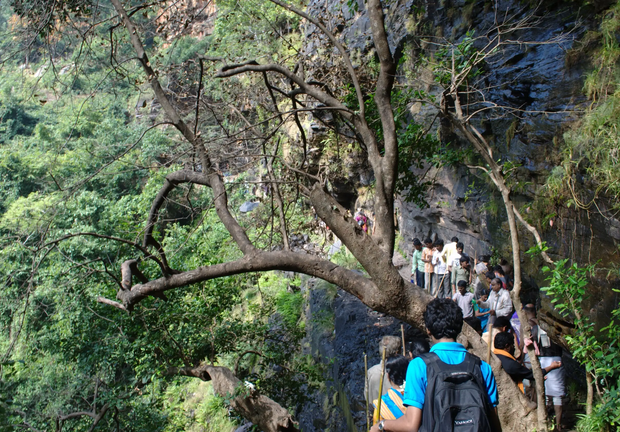
Only about 11 km, but after the river crossings and 350-450 steps to Jwala Narasimha the final climb to Ugra Stambham is a near-vertical scramble over loose rock without steps, ending on a narrow rock bridge with drops on both sides.
Photos
On the trail
The route
Day by day
Day 1 · highest point
Upper Ahobilam → Upper Ahobilam (via Jwala Narasimha and Ugra Stambham)
384 m → 574 m → 384 m
Ups and downs
Altitude profile
Where it is
Map
Trailhead and high point only — not a recorded track. Use it with a proper map.
Weather
Next 5 days on the trail
Live forecast for the trailhead and the high point. Mountain weather changes fast — check again on the morning you start.
Trailhead · Upper Ahobilam
at 384 mLoading forecast…
High point · Ugra Stambham
at 574 mLoading forecast…
Each day: high / low °C · rain mm and chance · snow cm · wind km/h
Weather data: Open-Meteo.comModel forecast, not an official warning. For alerts follow IMD and the local administration.
Plan the trip
How to reach
- Trailhead
- Upper Ahobilam (nearest town: Allagadda)
- Nearest railway
- Nandyal (66 km); Kondapuram (about 14 km) is a small local station
- Nearest airport
- Kurnool Airport (about 120 km); Hyderabad Rajiv Gandhi International Airport (about 333 km)
- By road
- Allagadda (about 25 km) by local bus, shared taxi or booked taxi; Nandyal (about 66 km); Hyderabad (about 350 km); Bengaluru (about 400-420 km via Anantapur, Gooty and Nandyal); Lower Ahobilam to Upper Ahobilam: about 8 km of motorable road through the forest
- Drive
- About 8 h from Bengaluru
Plan the trip
Permits and fees
We could not confirm the current permit rules and fees from an official source. Check with the local forest department or tourism office before you go.
Plan the trip
Cost
Self-guided
₹3,000–6,000
With an operator
₹7,999–9,449
Per person, ex-Bengaluru or ex-Hyderabad. Guided prices published in 2026: Tirtha Yatra 2-day weekend tour ₹7,999 + 5% GST on twin sharing (coach, 1 night, meals); SRK Holidays 2-day Nava Narasimha yatra ex-Bangalore ₹8,999 with a local guide for the Upper Ahobilam trek; Universal Adventures ex-Bangalore ₹7,999. Packages exclude the doli (about ₹4,000) and usually the Pavana Narasimha jeep (about ₹600-800 per head). Universal Adventures also lists a local 7 km Ahobilam trek from ₹1,459 that does not include travel to Ahobilam. Self-guided is an estimate: overnight bus to Nandyal or Allagadda and back, local bus or auto to Ahobilam, one lodge night, meals and a shared local guide for the Ugra Stambham climb.
Gear
Top picks for this trek
The gear that matters most on this route, chosen from its altitude, season and risks.
 Ad · affiliate link
 Ad · affiliate link
 Ad · affiliate link
 Ad · affiliate link
 Ad · affiliate link
 Ad · affiliate link
 Ad · affiliate link
 Ad · affiliate link
Store buttons open a search on that store, not a product we picked. As an Amazon Associate we earn from qualifying purchases. Photos show the kind of item, not a specific product. Affiliate disclosure
Packing checklist
Matched to this trek: altitude, season, days and the risks on the route.
Packed 0 of 23
Tick each item as it goes in the bag.
Know before you go
Good to know
- Mobile network
- Not confirmed by our sources; expect weak or no signal inside the forested gorge beyond Upper Ahobilam.
- Last ATM
- Allagadda (25 km) is the nearest town with full services; we could not confirm a working ATM in Ahobilam village.
- Nearest hospital
- Allagadda for first care; Nandyal or Kurnool for serious cases
- Water
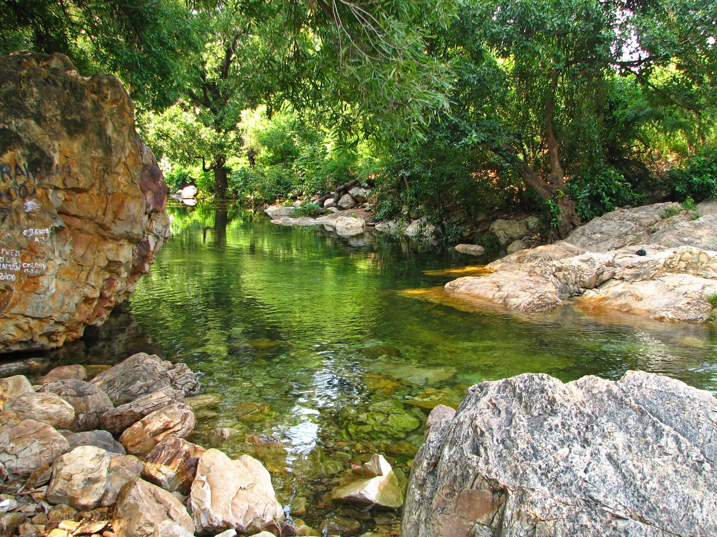
- No food or water is sold beyond Upper Ahobilam; carry enough from there. The Bhavanasini stream flows along the trail, but treat any water before drinking.
Highlights
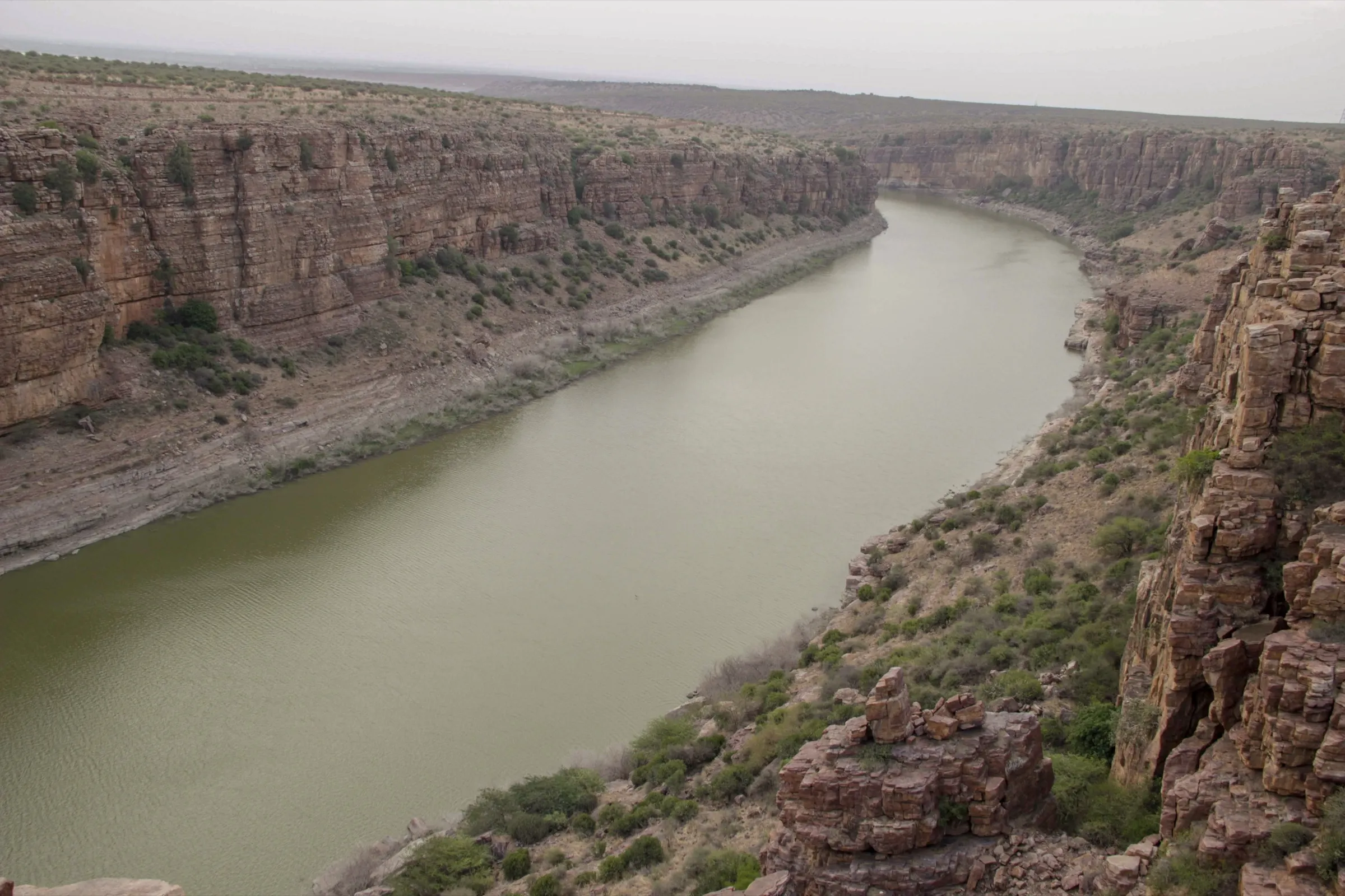
- Ugra Stambham, the split rock pinnacle above the gorge, believed to be the pillar from which Lord Narasimha emerged to slay Hiranyakashipu
- Jwala Narasimha cave temple, reached through a passage beside the Ahobilam waterfall after 350-450 steps
- Seven of the nine Nava Narasimha shrines of this Divya Desam lie on or near the Upper Ahobilam trail (Ahobila, Varaha/Kroda, Malola, Jwala and others)
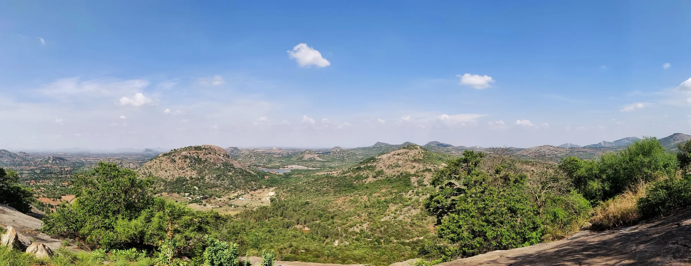
- Repeated crossings of the Bhavanasini stream through dense Nallamala forest of the Eastern Ghats
Risks
- The final climb to Ugra Stambham has no steps or railings: a steep scramble on loose rock and soil, then a narrow rock bridge with drops on both sides. Take a local guide.
- In the monsoon (July-September) the Bhavanasini crossings run knee-deep with strong current, the trail turns slippery and forest jeep tracks (for Pavana and Bhargava Narasimha) can be shut by landslides and waterlogging.
- April to June is very hot, often above 40 °C, and there is little shade on the upper rocks.
- Upper Ahobilam temples close around 4 pm and forest jeeps are not allowed in after about 3 pm, so start early.
Know before you go
Questions
How long is the trek to Ugra Stambham from Upper Ahobilam?
Mapped GPS routes put the round trip from the Upper Ahobilam parking at about 11-12 km with about 550 m of climbing and roughly 4 hours of walking; with temple visits, plan a full day. Jwala Narasimha is reached first, and the steep climb from there to Ugra Stambham and back adds 2-3 hours. Some guides quote 8 km one way from the Upper Ahobilam temple.
Can all nine Nava Narasimha temples be visited in one day?
Most pilgrims and guides recommend two days. The Upper Ahobilam trail (Ahobila, Varaha, Malola, Jwala and Ugra Stambham) takes a full day; Pavana and Bhargava Narasimha need a forest jeep or a separate trek, and Yogananda, Chatravata and Karanja are near the road.
What is the best time to trek at Ahobilam?
October to February, when it is cool. April to June is extremely hot. In the monsoon the waterfall and streams are at their best but the river crossings are deep and the rocks slippery, so the trek is noticeably harder.
How many steps are there to Jwala Narasimha temple?
Accounts give about 350 to 450 steps after the stream section, about 100 of them very steep; the temple is entered through a rock passage next to the waterfall.
Is there help for elderly pilgrims?
Yes. Doli (palanquin) carriers take devotees to Kroda, Malola and Jwala Narasimha and up towards Ugra Stambham for about ₹4,000 per head, and 4x4 jeeps run to Pavana Narasimha for about ₹600-800 per head.
In an emergency
Save these numbers before you lose signal. Tap to call.
- 112All emergenciesIndia’s single emergency number — works in every state
- 108Ambulance
- 1077District disaster control room
You are in
District: NandyalAndhra Pradesh
- Nearest hospital
- Allagadda for first care; Nandyal or Kurnool for serious cases
- Last ATM
- Allagadda (25 km) is the nearest town with full services; we could not confirm a working ATM in Ahobilam village.
- Phone network
- Not confirmed by our sources; expect weak or no signal inside the forested gorge beyond Upper Ahobilam.
Before you set off
- Tell someone your route and when you will be back.
- Carry a charged phone and a power bank.
- Download an offline map of the route.
- Turn back if the weather turns bad — the mountain will wait.
Questions about Ahobilam
No questions yet. Ask something and trekkers who have done it can answer.
Share your trek photo with #TreksAndTrails
I trekked this
Did Ahobilam look different from this page? Tell us what changed and we will check it.
Where this comes from
Sources
Last reviewed:
- Track to Ugra Stambha in Ahobilam — Outdooractive
- Ahobilam - The adventurous pilgrimage — Bikat Adventures
- Hyderabad Ahobilam Trek — Universal Adventures
- Ahobilam Tour Package from Bangalore — Universal Adventures
- Ahobilam - Places to visit, best time to visit — Trawell.in
- Ugra Sthambham, Ahobilam - Timings, Trekking, Camping, Best Time to Visit — Trawell.in
- Ahobilam Tour Package from Bangalore 2026 — SRK Holidays and Travels
- Adventure in Ahobilam — Back to Godhead
- Kurnool: Trekkers find Ahobilam magical, challenging — Deccan Chronicle
- Ahobilam — Wikipedia
Photos: Gopal Venkatesan, CC BY 2.0; Bharat Kumar Jonnalagadda @ Malkum, CC BY-SA 4.0; Chaduvari, CC BY-SA 4.0; Varunmydala, CC BY-SA 4.0