Ubbalamadugu Falls Trek
Tirupati (formerly Chittoor), Andhra Pradesh
Opens without signal on this phone, with the map file and checklist. Saved for offline →
- Max altitude
- 220 m
- Days
- 1 day
- Distance
- 5 km
- Difficulty
- Easy
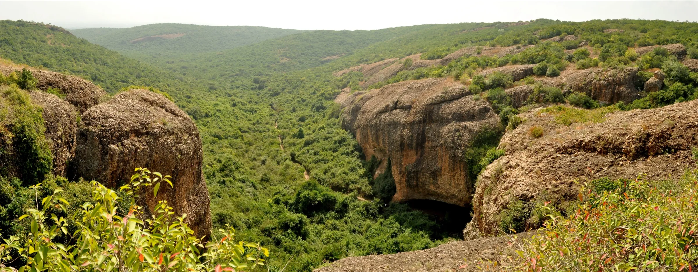
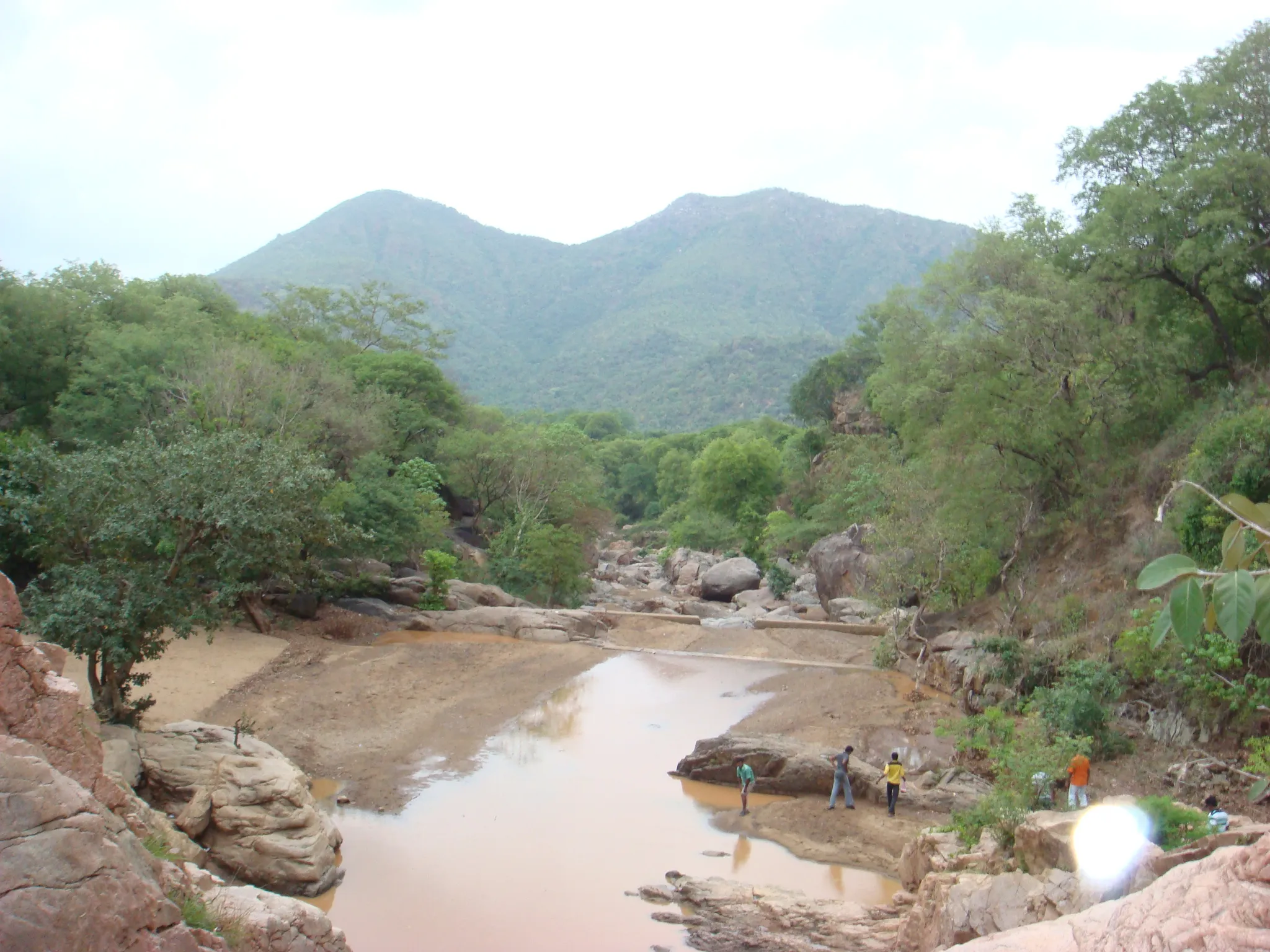
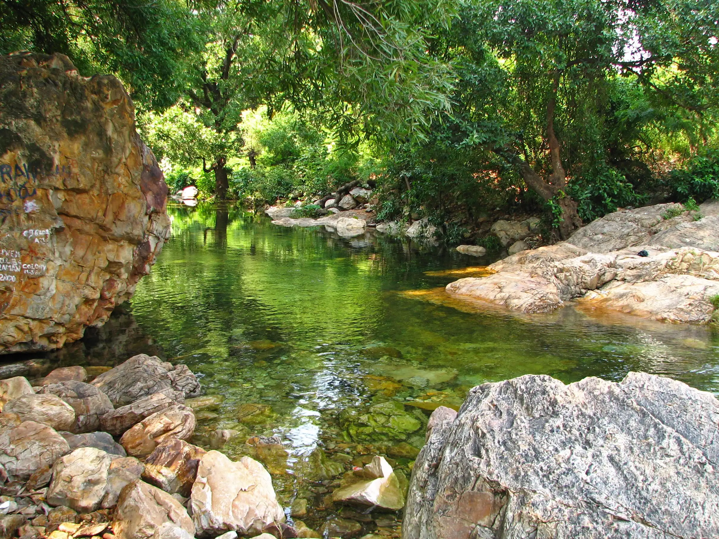
Short and low, but not a stroll: about 2 km each way up a stream bed with several knee- to waist-deep river crossings, then boulder-hopping and wading through a narrow canyon to the first falls. Good grip shoes are essential.
Photos
On the trail
The route
Day by day
Day 1 · highest point
Tada Falls parking → Tada Falls parking (via the first falls)
100 m → 220 m → 100 m
Ups and downs
Altitude profile
Where it is
Map
Trailhead and high point only — not a recorded track. Use it with a proper map.
Weather
Next 5 days on the trail
Live forecast for the trailhead and the high point. Mountain weather changes fast — check again on the morning you start.
Trailhead · Tada Falls parking
at 100 mLoading forecast…
High point · First (lower) Tada falls
at 220 mLoading forecast…
Each day: high / low °C · rain mm and chance · snow cm · wind km/h
Weather data: Open-Meteo.comModel forecast, not an official warning. For alerts follow IMD and the local administration.
Plan the trip
How to reach
- Trailhead
- Tada Falls parking
- Nearest railway
- Tada (Chennai-Gudur suburban line)
- Nearest airport
- Chennai International Airport
- By road
- Chennai (about 80-95 km via NH16 to Tada, then west past the Oneness Temple towards Varadaiahpalem to the forest gate; the last 3-4 km from the gate to the parking is rough and unpaved)
- Drive
- About 2.5 h from Chennai
Plan the trip
Permits and fees
We could not confirm the current permit rules and fees from an official source. Check with the local forest department or tourism office before you go.
Plan the trip
Cost
Self-guided
₹300–1,200
With an operator
₹1,899–2,699
Per person, ex-Chennai. Guided prices are overnight camping packages that include the waterfall trek, published October 2026: Treks and Trails India ₹1,899 (camp, meals, guide, entry charges) and Exoticamp ₹2,199-2,699 (Tada nature camp); transport to Tada is usually extra. Self-guided is an estimate: suburban train to Tada plus a shared auto (₹500-1,200 per auto) or a shared car, plus the forest entry fee, which travel guides quote at ₹20-50 per person and ₹200-300 per car. Confirm fees at the forest gate.
Gear
Top picks for this trek
The gear that matters most on this route, chosen from its altitude, season and risks.
 Ad · affiliate link
 Ad · affiliate link
 Ad · affiliate link
 Ad · affiliate link
- Ad · affiliate link
 Ad · affiliate link
 Ad · affiliate link
 Ad · affiliate link
Store buttons open a search on that store, not a product we picked. As an Amazon Associate we earn from qualifying purchases. Photos show the kind of item, not a specific product. Affiliate disclosure
Packing checklist
Matched to this trek: altitude, season, days and the risks on the route.
Packed 0 of 21
Monsoon months (Sep): pack everything in plastic or a dry bag and wear shoes with good grip.
Tick each item as it goes in the bag.
Know before you go
Good to know
- Mobile network
- Not confirmed by our sources; expect weak or no signal in the forest canyon.
- Last ATM
- Tada town (not confirmed by our sources; carry cash for the forest gate)
- Nearest hospital
- Tada and Sullurpeta for first care; Chennai for serious cases
- Water
- The stream runs beside the whole trail, but treat or boil it; carry drinking water and food, as facilities near the falls are limited.
Highlights
- Wading up a clear forest stream with deep green pools for swimming
- A boulder-filled canyon that ends at the roughly 100 m Ubbalamadugu (Tada) falls
- An easy day trip from Chennai, linked to Shiva worship and busy around Maha Shivaratri
Risks
- Strong current: travel guides warn the stream can carry an adult, especially after rain. Do not swim in fast water or above the falls.
- Heavy rain makes the rocks slippery and the river crossings deep; avoid the trek during or just after heavy rain.
- Entry is only allowed in the daytime (guides quote about 6 am or 8 am to 4 pm); you must be out before dark.
- Bonnet macaques snatch bags and food, and snakes shelter between rocks.
- Tripadvisor marks the site 'temporarily closed' with no date or reason; reviews show visitors as late as December 2025. Check with the forest gate before you go.
Know before you go
Questions
How long is the walk to Tada Falls?
About 2-3 km each way from the parking, following the stream. Most people stop at the first pools after 15-20 minutes; reaching the falls takes around 2 hours of wading and boulder-hopping. Allow 4-5 hours for the whole visit.
What is the best time to visit Tada Falls?
September to February, after the north-east monsoon, when the falls are full and the weather is mild. Summer is hot and the flow drops; avoid heavy-rain days, when the trail is slippery.
Is there an entry fee at Tada Falls?
Yes, the Andhra Pradesh forest department collects an entry fee at the gate, with extra charges for vehicles and cameras. Travel guides quote ₹20-50 per person and ₹200-300 per car, but we could not confirm the current official rate.
How do I reach Tada Falls from Chennai?
Drive about 80-95 km up NH16 to Tada, then turn west towards Varadaiahpalem past the Oneness Temple to the forest gate. By train, take the suburban train to Tada station and an auto to the gate. The last 3-4 km to the parking is rough; low cars are better left at the gate.
In an emergency
Save these numbers before you lose signal. Tap to call.
- 112All emergenciesIndia’s single emergency number — works in every state
- 108Ambulance
- 1077District disaster control room
You are in
District: Tirupati (formerly Chittoor)Andhra Pradesh
- Nearest hospital
- Tada and Sullurpeta for first care; Chennai for serious cases
- Last ATM
- Tada town (not confirmed by our sources; carry cash for the forest gate)
- Phone network
- Not confirmed by our sources; expect weak or no signal in the forest canyon.
Before you set off
- Tell someone your route and when you will be back.
- Carry a charged phone and a power bank.
- Download an offline map of the route.
- Turn back if the weather turns bad — the mountain will wait.
Questions about Ubbalamadugu Falls
No questions yet. Ask something and trekkers who have done it can answer.
Share your trek photo with #TreksAndTrails
I trekked this
Did Ubbalamadugu Falls look different from this page? Tell us what changed and we will check it.
Where this comes from
Sources
Last reviewed:
- Ubbalamadugu Falls — Wikipedia
- Tada Waterfalls Trek – Forest Entry Secrets & Trail Warnings — Exoticamp
- Tada Falls | Chittoor - What to Expect | Timings | Tips — MakeMyTrip
- Tada Waterfalls: A Complete Guide For a Quick Getaway — Capture A Trip
- Popular Waterfalls Near Chennai — Ease India Trip
- Exploring Tada Waterfalls — Tripoto (trip report)
- An Awestruck Trek to Tada — Tripoto (second trip report)
- Varadhapalayam or Ubbalamadugu Falls | Waterfall Trek & Nature — Tourist in India
- Tada Waterfall Trek With Camping — Treks and Trails India
Photos: McKay Savage from London, UK, CC BY 2.0; McKay Savage from London, UK, CC BY 2.0; McKay Savage from London, UK, CC BY 2.0