Aane Gudda Trek
Chikkamagaluru, Karnataka
Opens without signal on this phone, with the map file and checklist. Saved for offline →
- Max altitude
- 1,346 m
- Days
- 1 day
- Distance
- 12.6 km
- Difficulty
- Easy
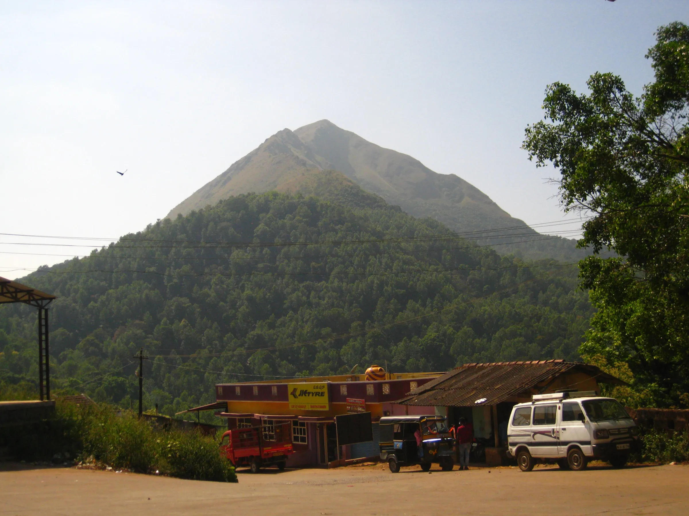
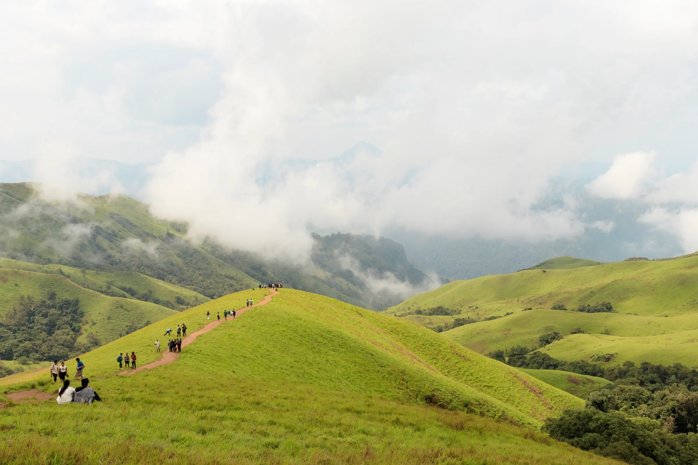
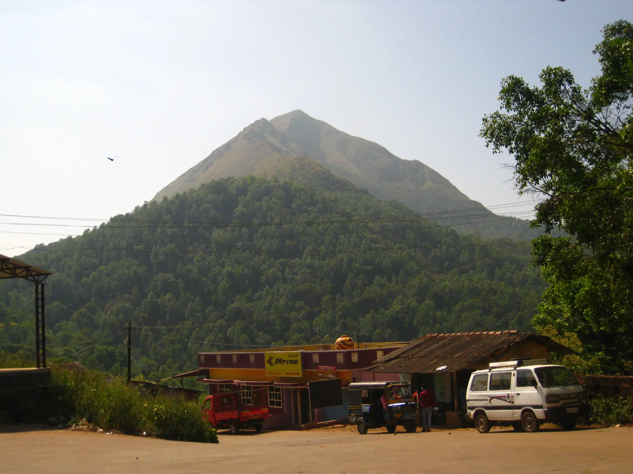
Both guides grade it easy and good for beginners: about 1.3 km of trail from the last house, through a short shola forest and coffee estate, then a steep grass climb (Indiahikes calls it about 60 degrees) to the saddle and top. The walk from Haluvalli adds about 5 km of road each way, which you can skip by auto or car.
Photos
On the trail
The route
Day by day
Day 1 · highest point
Haluvalli junction → Haluvalli junction
760 m → 1,346 m → 760 m
Ups and downs
Altitude profile
Where it is
Map
Trailhead and high point only — not a recorded track. Use it with a proper map.
Weather
Next 5 days on the trail
Live forecast for the trailhead and the high point. Mountain weather changes fast — check again on the morning you start.
Trailhead · Haluvalli (Halluvalli) junction
at 760 mLoading forecast…
High point · Aane Gudda summit
at 1,346 mLoading forecast…
Each day: high / low °C · rain mm and chance · snow cm · wind km/h
Weather data: Open-Meteo.comModel forecast, not an official warning. For alerts follow IMD and the local administration.
Plan the trip
How to reach
- Trailhead
- Haluvalli (Halluvalli) junction (nearest town: Kalasa)
- Nearest railway
- Chikkamagaluru or Kadur (no rail near Kalasa; most trekkers come by bus)
- Nearest airport
- Mangaluru International (about 120 km to Kalasa)
- By road
- Bengaluru via Hassan, Belur, Mudigere, Kottigehara and Kalasa (about 330 km); Kalasa (about 5 km; hourly private buses or auto to Haluvalli); Horanadu (about 10 km)
- Drive
- About 8 h from Bengaluru
Plan the trip
Permits and fees
We could not confirm the current permit rules and fees from an official source. Check with the local forest department or tourism office before you go.
Plan the trip
Cost
Self-guided
₹1,800–4,000
With an operator
₹2,500–5,000
Per person, ex-Bengaluru, for a weekend trip. No trek operator publishes a package price for Aane Gudda, so both ranges are estimates. Self-guided: overnight bus Bengaluru to Kalasa/Horanadu (Indiahikes quotes about ₹450 non-sleeper to ₹1,000 sleeper each way), auto Kalasa to Haluvalli about ₹60–80 (Indiahikes), food, and optionally a homestay night in Kalasa. Guided: Indiahikes says Horanadu homestays arrange a local guide at about ₹1,000 per guide (shared by the group) plus a ₹1,000 per-group entry charge on the neighbouring ridge route; add a homestay night and meals.
Gear
Top picks for this trek
The gear that matters most on this route, chosen from its altitude, season and risks.
 Ad · affiliate link
 Ad · affiliate link
 Ad · affiliate link
 Ad · affiliate link
 Ad · affiliate link
 Ad · affiliate link
 Ad · affiliate link
- Ad · affiliate link
Store buttons open a search on that store, not a product we picked. As an Amazon Associate we earn from qualifying purchases. Photos show the kind of item, not a specific product. Affiliate disclosure
Packing checklist
Matched to this trek: altitude, season, days and the risks on the route.
Packed 0 of 17
Tick each item as it goes in the bag.
Know before you go
Good to know
- Mobile network
- Good on the trail per Indiahikes (Airtel, Vodafone and BSNL).
- Last ATM
- Kalasa (3–4 ATMs); none at Haluvalli
- Nearest hospital
- Sri Manjunatha Memorial Hospital, Kalasa (about 6 km)
- Water
- Shops and houses at Haluvalli, the last house at the base, and the stream at the waterfall crossing; do not rely on the stream in summer. Carry at least 2 litres.
Highlights
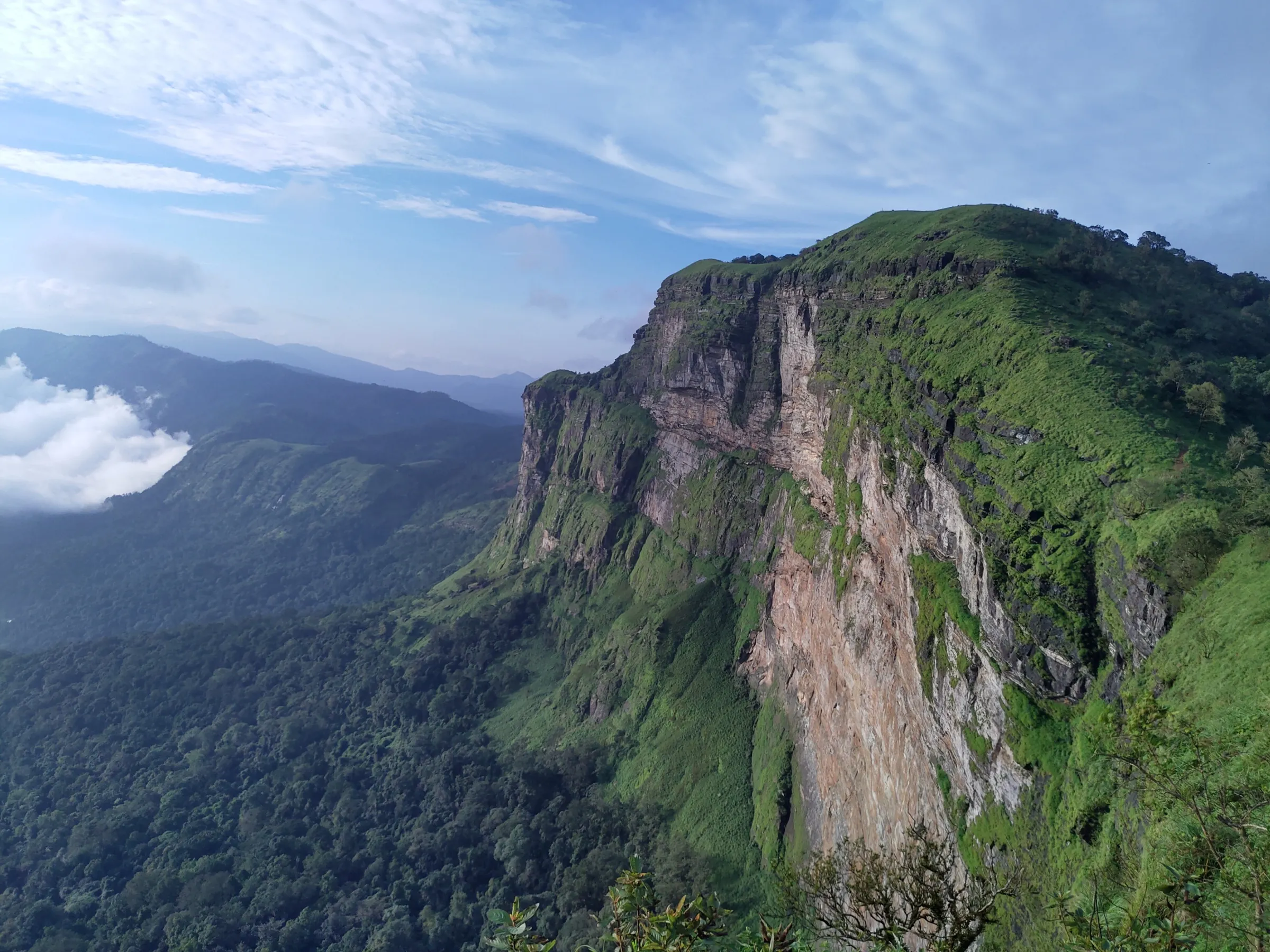
- Views of Meruthi (Merthi) Gudda straight ahead, with Kudremukh and Ballalarayana Durga on the horizon
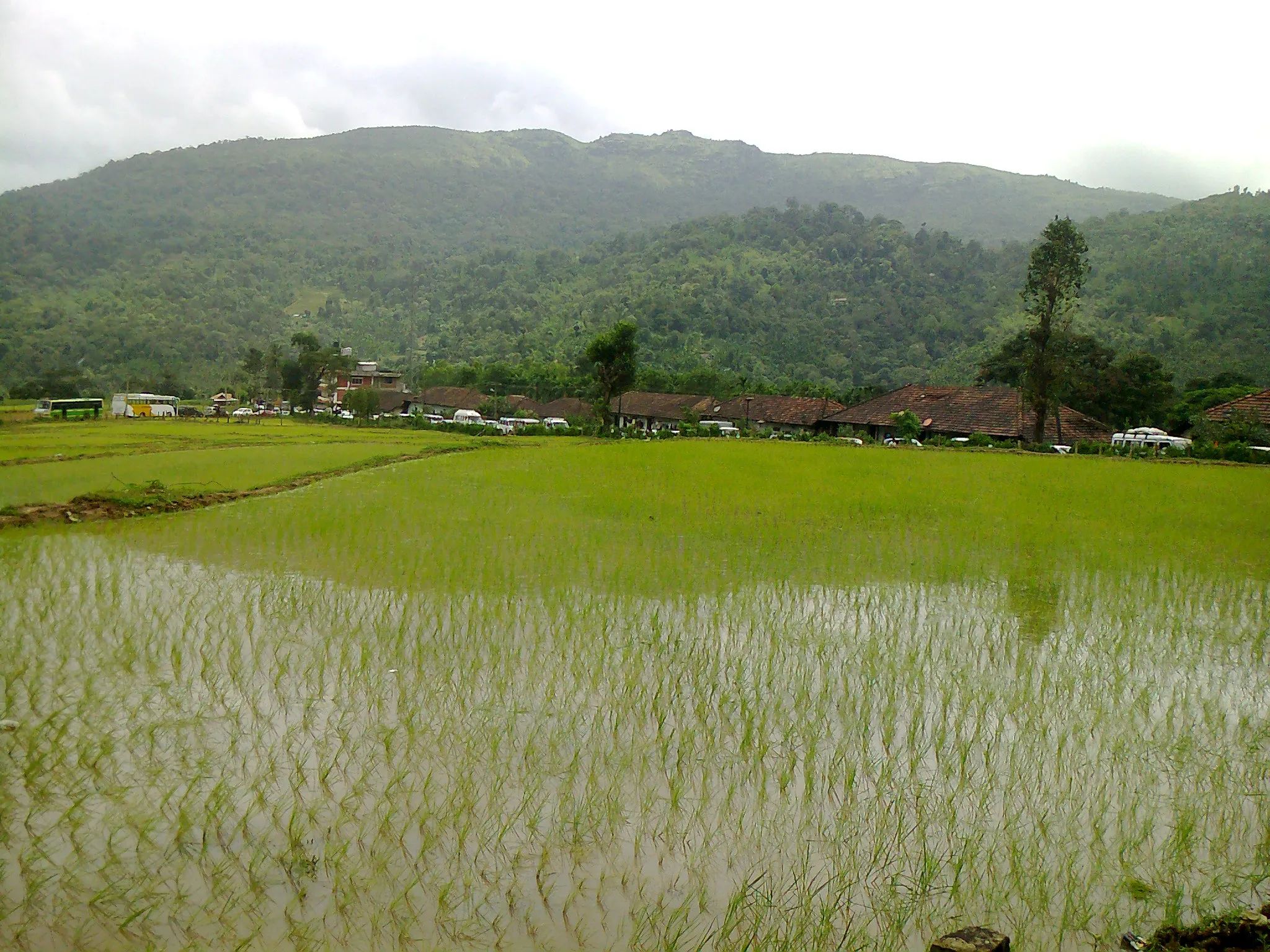
- Aerial view of the Bhadra river winding past Haluvalli and Kalasa
- A short, beginner-friendly stretch of shola forest with a stream and seasonal waterfall
- Golden grassland climb to a saddle and the elephant-shaped ridge top
Risks
- Karnataka circular, 11 May 2026: after a leopard killed a boy on the Nagamale route, the Chief Wildlife Warden suspended trekking on routes in leopard, tiger, elephant and bear areas until each is certified safe. Indiahikes says Aane Gudda is a private hill outside the Aranya Vihaara system, but check locally (Kalasa forest office or your homestay) that the route is open before you go.
- The waterfall crossing about 15 minutes from the base cannot be crossed in the monsoon, and its mossy rocks are slippery just after the rains
- Steep grass slope below the saddle; take the zig-zag line and avoid it in rain or with tired legs
- Hot and exposed in summer once you leave the forest; start early and carry water
- Leeches in the forest just after the monsoon; rare sightings of gaur (Indian bison) and wild boar
Know before you go
Questions
Do I need a forest permit for the Aane Gudda trek?
Indiahikes says no prior permission is needed and that Aane Gudda is a private hill, not listed on the Karnataka Forest Department's Aranya Vihaara booking portal. Its write-up of the neighbouring ridge route from Horanadu mentions a ₹1,000 per-group entry charge and ₹1,000 per guide, arranged by homestays. No official notice confirms any fee, so check locally before you go.
What is the best time for Aane Gudda?
End of September to February, after the monsoon and before the summer heat. In the monsoon the waterfall crossing near the base cannot be crossed, and summer is very hot on the open grass.
How long and how hard is the Aane Gudda trek?
It is an easy one-day hike. From the last house it is about 1.3 km to the top (around 1.5 hours up and 1.25 hours down). Walking from the Haluvalli junction adds about 5 km of road each way, about 1.5 hours.
How do I reach the start of the Aane Gudda trek?
Take an overnight bus from Bengaluru to Kalasa, then an hourly private bus or an auto (about ₹60–80) to Haluvalli, at the Kalasa–Horanadu junction. Walk or drive towards Horanadu for about 1.5 km, turn sharp right at the small Chowdeshwara temple board, and follow the road about 3.5 km to the last house.
Can I combine Aane Gudda with other treks?
Yes. Kalasa is a good base for Aane Gudda, Ballalarayana Durga, Meruthi Gudda and Kudremukh. Indiahikes also documents a separate Aane Gudda ridge route from the Horanadu side that links to Merthi Gudda.
In an emergency
Save these numbers before you lose signal. Tap to call.
- 112All emergenciesIndia’s single emergency number — works in every state
- 108Ambulance
- 1077District disaster control room
You are in
District: ChikkamagaluruKarnataka
- Nearest hospital
- Sri Manjunatha Memorial Hospital, Kalasa (about 6 km)
- Last ATM
- Kalasa (3–4 ATMs); none at Haluvalli
- Phone network
- Good on the trail per Indiahikes (Airtel, Vodafone and BSNL).
Before you set off
- Tell someone your route and when you will be back.
- Carry a charged phone and a power bank.
- Download an offline map of the route.
- Turn back if the weather turns bad — the mountain will wait.
Questions about Aane Gudda
No questions yet. Ask something and trekkers who have done it can answer.
Share your trek photo with #TreksAndTrails
I trekked this
Did Aane Gudda look different from this page? Tell us what changed and we will check it.
Where this comes from
Sources
Last reviewed:
- Aane Gudda Trek – Complete Guide — Indiahikes
- Aane Gudda Trek — TrekUp India
- Aane Gudda Ridge Trek — Indiahikes
- Haluvalli — Wikipedia
Photos: AshwathAcharya / Wikimedia Commons, CC BY-SA 3.0; Adityamadhav83 / Wikimedia Commons, CC BY-SA 3.0