Merthi Gudda Trek
Chikkamagaluru, Karnataka
Opens without signal on this phone, with the map file and checklist. Saved for offline →
- Max altitude
- 1,676 m
- Days
- 1 day
- Distance
- 6 km
- Difficulty
- Moderate
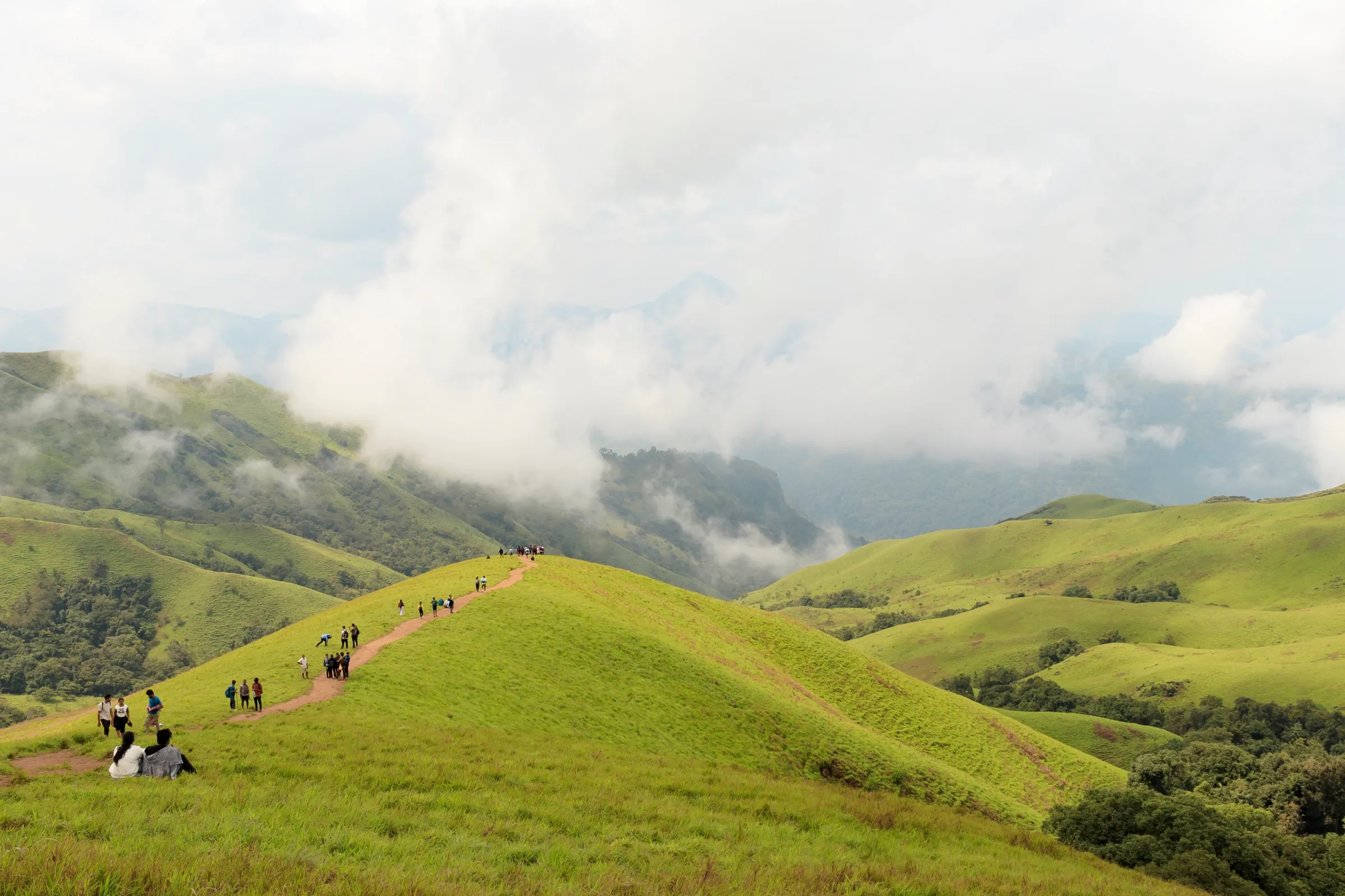
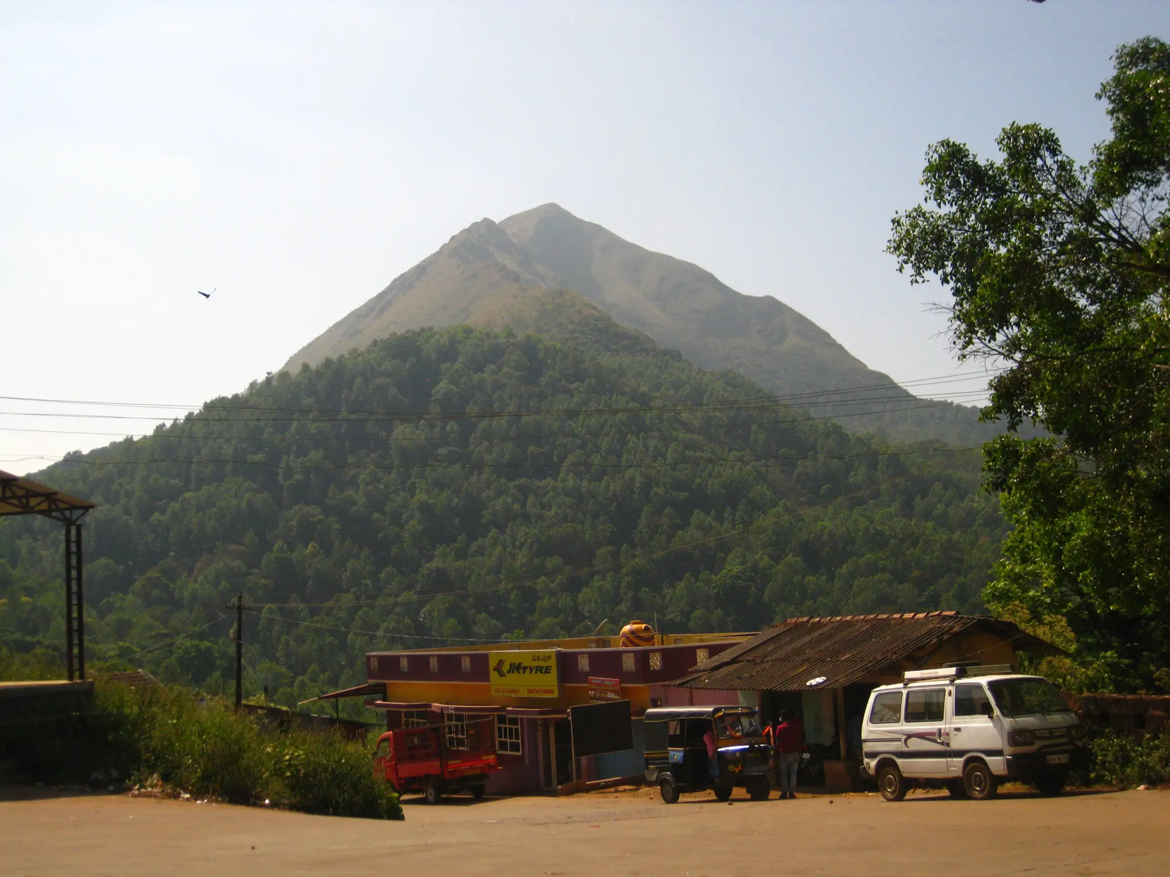
Short (about 6 km return) but steep: about 440 m of climbing from the forest checkpost through coffee estates, then a treeless roller-coaster ridge with several false tops before the summit. Operators call it easy to moderate; the Forest Department portal grades it 'adventurous'.
Photos
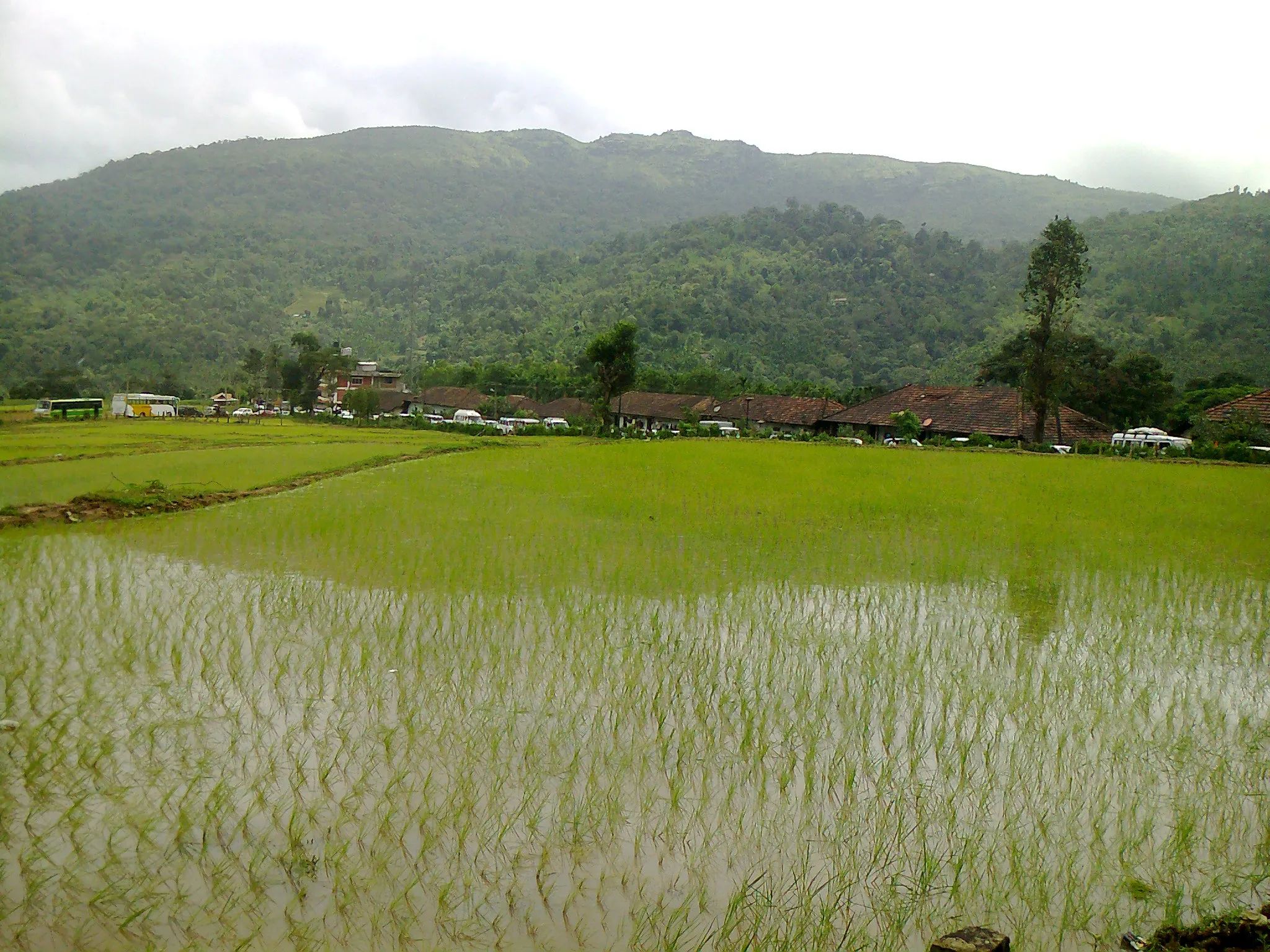
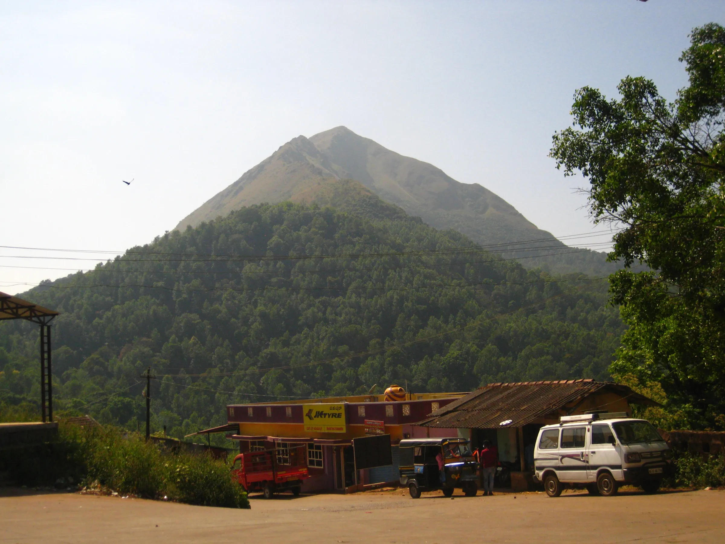
On the trail
The route
Day by day
Day 1 · highest point
Kavanahalla forest checkpost → Kavanahalla forest checkpost
1,240 m → 1,676 m → 1,240 m
Ups and downs
Altitude profile
Where it is
Map
Trailhead and high point only — not a recorded track. Use it with a proper map.
Weather
Next 5 days on the trail
Live forecast for the trailhead and the high point. Mountain weather changes fast — check again on the morning you start.
Trailhead · Kavanahalla Forest Department checkpost, near Basarikatte
at 1,240 mLoading forecast…
High point · Merthi Gudda summit (Ganesha shrine)
at 1,676 mLoading forecast…
Each day: high / low °C · rain mm and chance · snow cm · wind km/h
Weather data: Open-Meteo.comModel forecast, not an official warning. For alerts follow IMD and the local administration.
Plan the trip
How to reach
- Trailhead
- Kavanahalla Forest Department checkpost, near Basarikatte (nearest town: Horanadu)
- Nearest railway
- Chikkamagaluru (about 100 km by road); Mangaluru for long-distance trains
- Nearest airport
- Mangaluru International (about 135 km)
- By road
- Horanadu (about 7 km to the forest checkpost); Kalasa (about 14 km); Bengaluru (about 330–360 km)
- Drive
- About 8 h from Bengaluru
Plan the trip
Permits and fees
We could not confirm the current permit rules and fees from an official source. Check with the local forest department or tourism office before you go.
Plan the trip
Cost
Self-guided
₹2,500–5,000
With an operator
₹4,549
Per person, ex-Bengaluru, for a weekend trip (overnight travel, homestay, meals, trek). Guided figure from BMC Adventures (₹4,549, Oct 2026; GST extra); no second operator's current price could be confirmed. Self-guided is an estimate from Indiahikes' figures: overnight bus to Horanadu ₹450–1,000 each way, auto ₹700 return (shared by 4) or jeep ₹2,400 return (shared by 8) to the base, mandatory local guide about ₹1,000 per group of 10–12, plus a homestay night and food. The Aranya Vihaara trek fee is shown only at checkout, so it is not included.
Gear
Top picks for this trek
The gear that matters most on this route, chosen from its altitude, season and risks.
 Ad · affiliate link
 Ad · affiliate link
 Ad · affiliate link
 Ad · affiliate link
 Ad · affiliate link
 Ad · affiliate link
 Ad · affiliate link
 Ad · affiliate link
Store buttons open a search on that store, not a product we picked. As an Amazon Associate we earn from qualifying purchases. Photos show the kind of item, not a specific product. Affiliate disclosure
Packing checklist
Matched to this trek: altitude, season, days and the risks on the route.
Packed 0 of 21
Tick each item as it goes in the bag.
Know before you go
Good to know
- Mobile network
- Not confirmed; expect weak signal in the estates and better coverage on the open ridge. Check locally.
- Last ATM
- Horanadu or Kalasa (confirm locally; nothing at the base)
- Nearest hospital
- Government hospital at Kalasa (about 14 km); confirm locally
- Water
- No food stalls and no reliable water on the trail (Indiahikes); carry at least 2 litres from the homestay.
Highlights
- Listed among the highest peaks of Karnataka (1,676 m), above Basarikatte near Horanadu
- Roller-coaster ridge walk over grassy humps, with a ledge path that skips the second hump
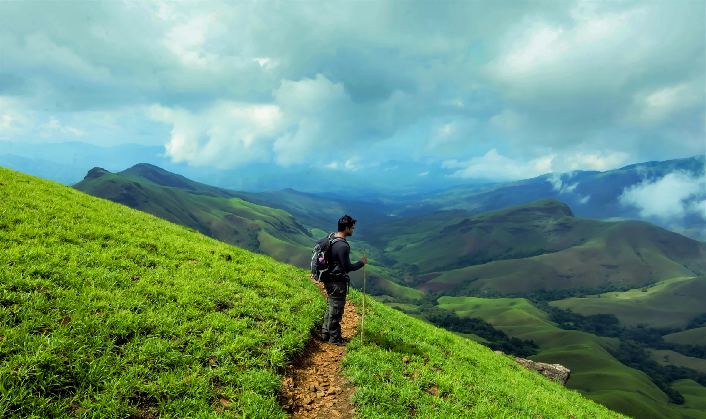
- Views of Akki Rashi, Aane Gudda, Kudremukh and Ballalarayana Durga on clear days
- Small shrine of Bhagwan Ganesha on the summit, where villagers climb in the monsoon to pray for rain and a good harvest
- Easy pairing with darshan at the Horanadu Annapoorneshwari temple
Risks
- No tree cover on the ridge: heat and dehydration after about 10 AM, especially from March onwards
- Slippery plantation paths and leeches in the monsoon and just after; heavy-rain alerts can cancel permits at short notice
- Steep ups and downs on grass: descend slowly, particularly when wet
- Entry is only in the 6:00–11:30 AM slot; starting late risks being turned back
Know before you go
Questions
Do I need a permit for the Merthi Gudda trek?
Yes. Book on the Karnataka Forest Department's Aranya Vihaara portal (aranyavihaara.karnataka.gov.in) under Chikkamagaluru → Merthigudda. In October 2026 the portal showed one 6:00–11:30 AM slot with 300 places a day, up to 3 trekkers per booking, bookable 1 to 30 days ahead. Carry your ID; permits are checked at the forest checkpost.
Can I do the trek without a guide?
No. Indiahikes says a Forest Department guide is mandatory and is assigned at the checkpost; budget about ₹1,000 per guide for a group of 10–12.
How long and how hard is it?
About 6 km return from the forest checkpost (the Forest Department and Indiahikes both give 6 km), done in half a day. It suits fit beginners, but the ridge has repeated steep climbs and descents with no shade. Some operators quote about 8 km because they start from the homestays below the checkpost.
When is the best time to go?
October to February for clear summit views and fewer leeches. Indiahikes also rates the monsoon as green and beautiful, but slippery, leech-prone and liable to permit cancellations; after February the open ridge gets hot.
How do I reach the start from Bengaluru?
Take an overnight KSRTC or private sleeper bus to Horanadu (8–9 hours), then an auto or jeep about 5–7 km to the homestays and the forest checkpost near Basarikatte. The last bus back to Bengaluru leaves Horanadu around 10 PM.
In an emergency
Save these numbers before you lose signal. Tap to call.
- 112All emergenciesIndia’s single emergency number — works in every state
- 108Ambulance
- 1077District disaster control room
You are in
District: ChikkamagaluruKarnataka
- Nearest hospital
- Government hospital at Kalasa (about 14 km); confirm locally
- Last ATM
- Horanadu or Kalasa (confirm locally; nothing at the base)
- Phone network
- Not confirmed; expect weak signal in the estates and better coverage on the open ridge. Check locally.
Before you set off
- Tell someone your route and when you will be back.
- Carry a charged phone and a power bank.
- Download an offline map of the route.
- Turn back if the weather turns bad — the mountain will wait.
Questions about Merthi Gudda
No questions yet. Ask something and trekkers who have done it can answer.
Share your trek photo with #TreksAndTrails
I trekked this
Did Merthi Gudda look different from this page? Tell us what changed and we will check it.
Where this comes from
Sources
Last reviewed:
- Aranya Vihaara – Merthigudda (Chikkamagaluru, trek id 88) — Karnataka Forest Department (official)
- A Complete Guide to the Merthi Gudda Ridge Trek — Indiahikes
- List of peaks in the Karnataka — Wikipedia
- Merthigudda — Karnataka, India — IsoMaps
- Merthi Gudda Trek, Chikmagalur — BMC Adventures
Photos: AshwathAcharya / Wikimedia Commons, CC BY-SA 3.0; VASANTH S.N. / Wikimedia Commons, CC BY-SA 3.0; Prof. Mohamed Shareef from Mysore / Wikimedia Commons, CC BY-SA 2.0