Yunam Peak Trek
Lahaul and Spiti, Himachal Pradesh
Opens without signal on this phone, with the map file and checklist. Saved for offline →
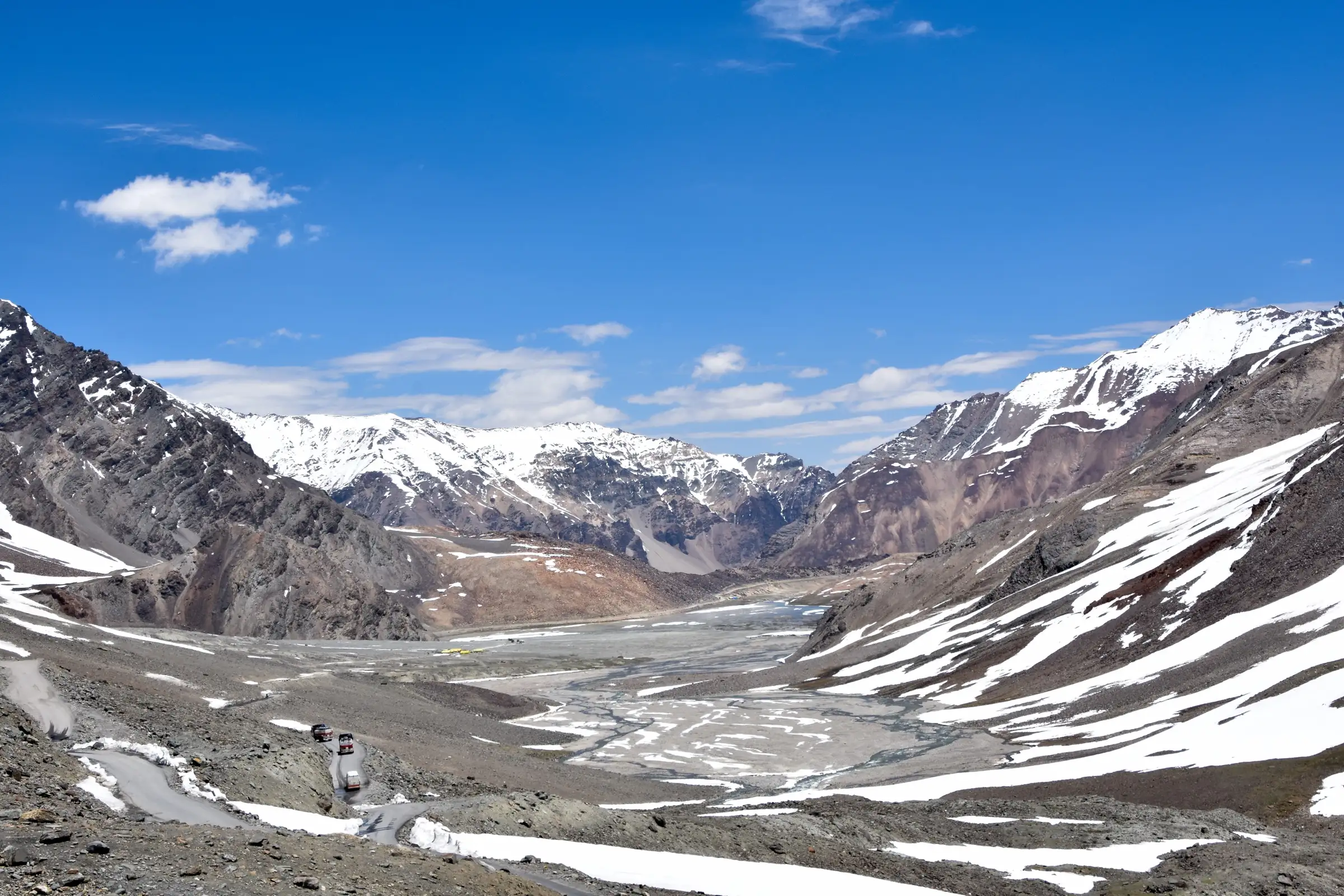
- Max altitude
- 6,111 m
- Days
- 8 days
- Distance
- 22 km
- Difficulty
- Challenging
A 6,000 m peak climb sold as a trek: you sleep at about 4,700 m from the third day and 5,200 m at base camp, and summit day starts around 2 am with roughly 900-1,000 m of gain on 50-60 degree snow and scree slopes, a false summit and crevassed snowfields. Crampons, ice axe and helmet are used; operators ask for prior experience of a 4,000 m+ trek.
Photos
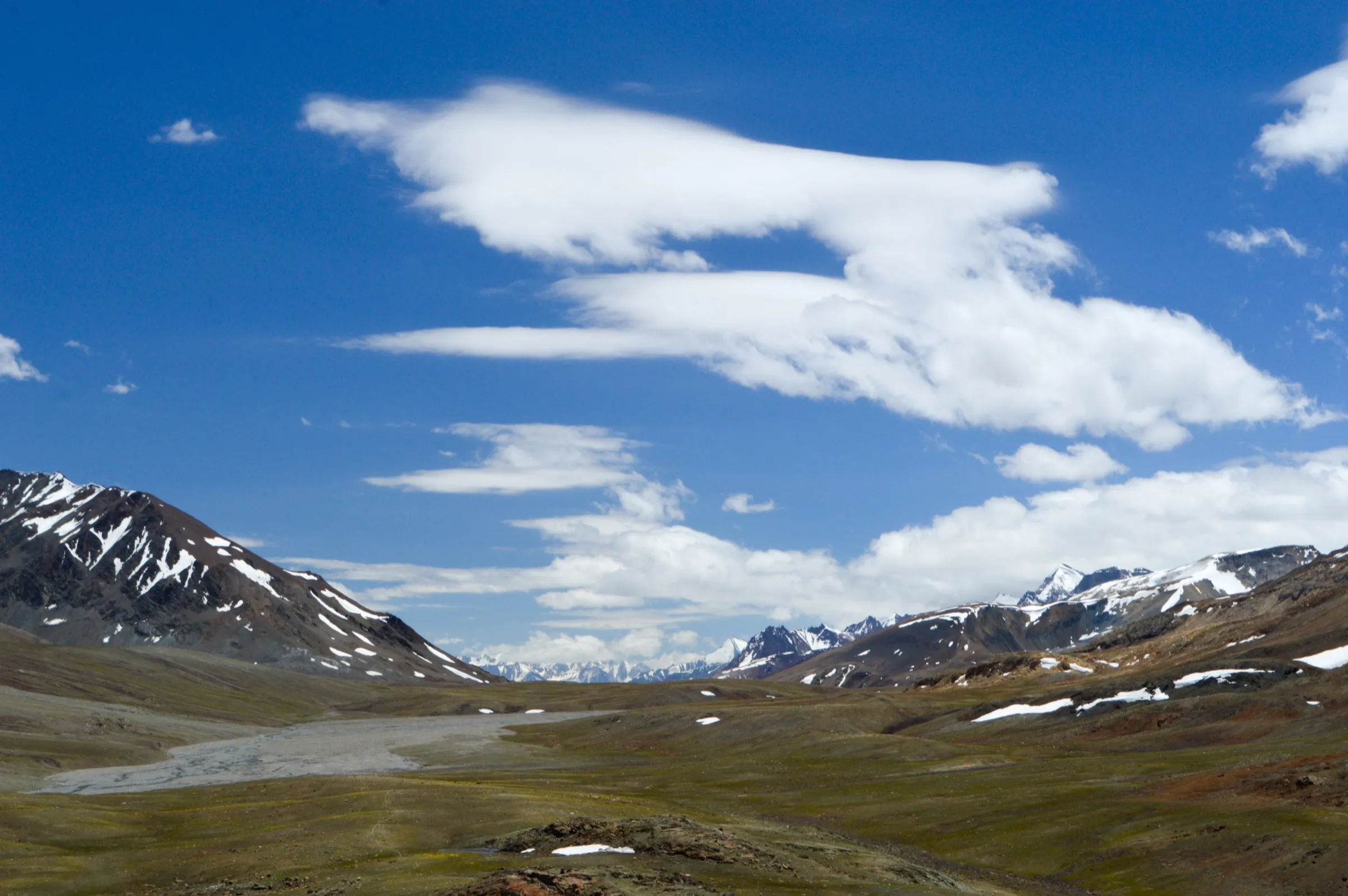
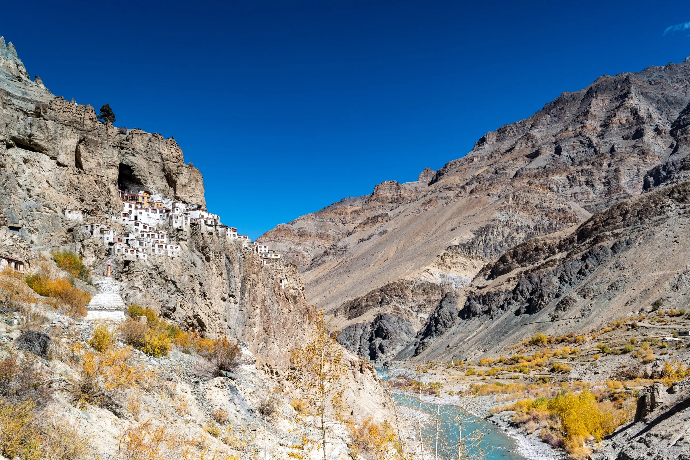
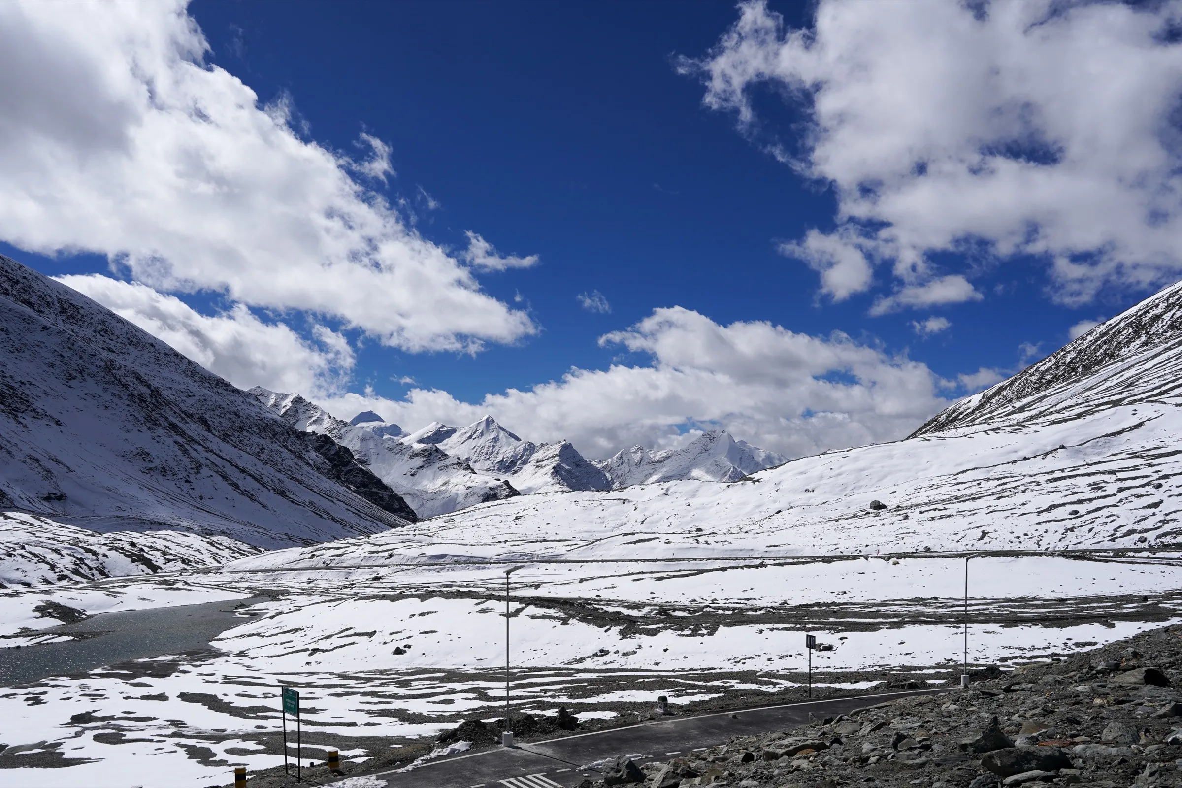
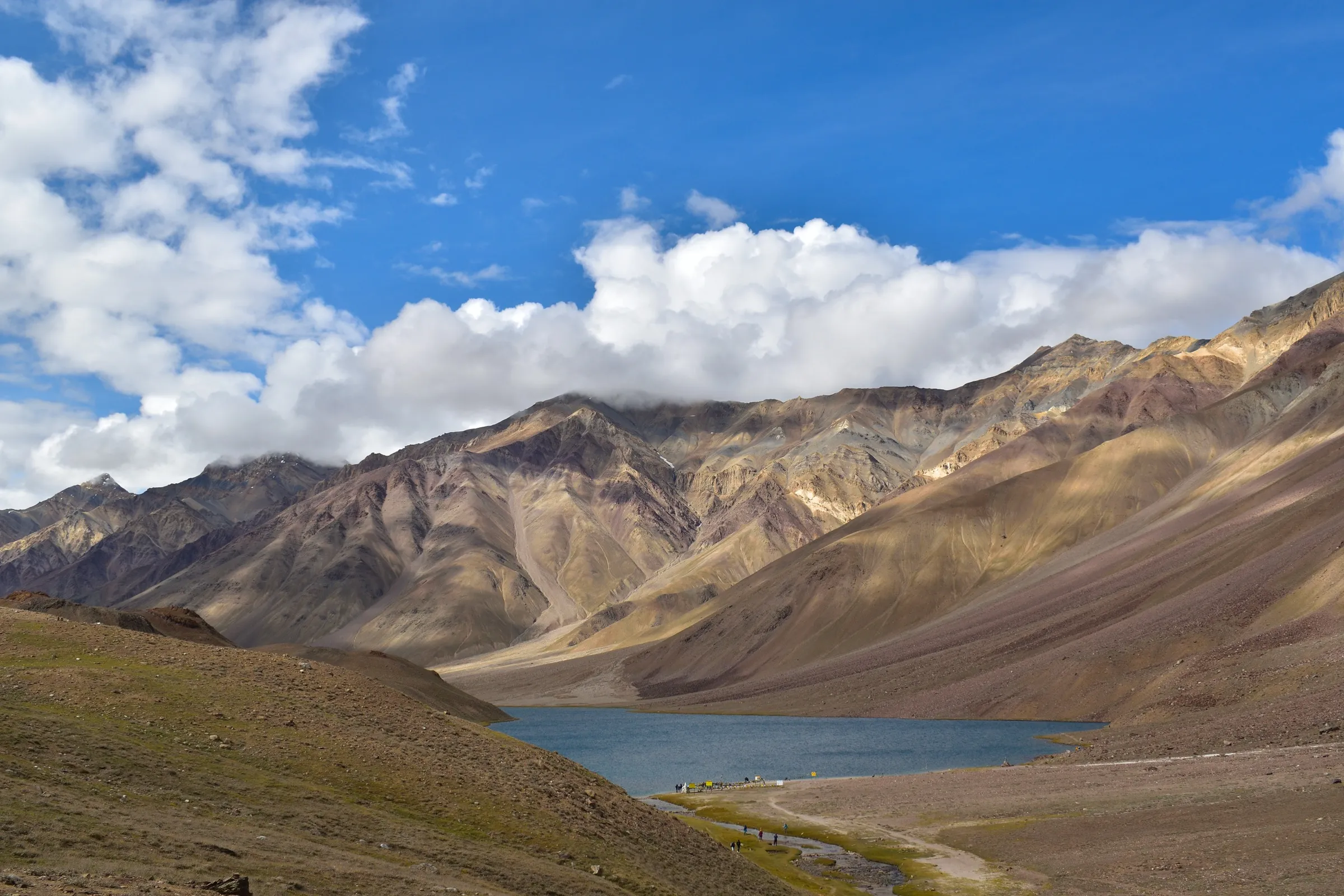
On the trail
The route
Day by day
Day 1
Arrive Manali → Manali
2,050 m → 2,050 m
Day 2
Manali → Jispa (drive via Atal Tunnel and Keylong, about 120 km)
2,050 m → 3,200 m
Day 3
Jispa → Bharatpur (drive over Baralacha La, about 100 km)
3,200 m → 4,850 m → 4,700 m
Day 4
Bharatpur → Bharatpur (acclimatisation walk)
4,700 m → 4,700 m
Day 5
Bharatpur → Yunam Base Camp
4,700 m → 5,200 m
Day 6
Yunam Base Camp → Yunam Base Camp (rest and snow-skills training)
5,200 m → 5,200 m
Day 7 · highest point
Yunam Base Camp → Yunam Base Camp (via summit)
5,200 m → 6,111 m → 5,200 m
Day 8
Yunam Base Camp → Bharatpur, then drive to Manali
5,200 m → 2,050 m
Ups and downs
Altitude profile
Where it is
Map
Trailhead and high point only — not a recorded track. Use it with a proper map.
Weather
Next 5 days on the trail
Live forecast for the trailhead and the high point. Mountain weather changes fast — check again on the morning you start.
Trailhead · Bharatpur
at 4,700 mLoading forecast…
High point · Yunam Peak summit
at 6,111 mLoading forecast…
Each day: high / low °C · rain mm and chance · snow cm · wind km/h
Weather data: Open-Meteo.comModel forecast, not an official warning. For alerts follow IMD and the local administration.
Plan the trip
How to reach
- Trailhead
- Bharatpur (nearest town: Keylong)
- Nearest railway
- Chandigarh (then bus or taxi to Manali); Joginder Nagar is the nearest narrow-gauge station
- Nearest airport
- Bhuntar (Kullu-Manali) Airport; Chandigarh and Delhi have more flights
- By road
- Manali to Jispa (about 120 km via Atal Tunnel, Sissu, Tandi and Keylong); Jispa to Bharatpur (about 100 km on the Manali-Leh highway past Deepak Tal and Suraj Tal and over Baralacha La); Bharatpur is a seasonal tent-dhaba stop on the highway
- Drive
- About 9 h from Manali
Plan the trip
Permits and fees
We could not confirm the current permit rules and fees from an official source. Check with the local forest department or tourism office before you go.
Plan the trip
Cost
Self-guided
₹25,000–45,000
With an operator
₹31,500–49,499
Per person, ex-Manali. Guided prices published in 2025-26: Himtrek ₹31,500 + 5% GST (Manali-Manali, no fixed 2026 dates listed); Trek The Himalayas ₹36,500 + 5% GST, plus a $100 extra permit fee for non-Indians; Great Adventure ₹49,499 (Manali-Manali). Self-guided is an estimate only: a hired vehicle Manali-Bharatpur and back, two nights in Manali/Jispa, a qualified local mountain guide and support staff, mules, rented tents, crampons, ice axe, helmet and snow boots, food for five camp days, and the peak and forest permits that operators obtain in Keylong. A first-timer should not attempt this peak without a qualified guide.
Gear
Top picks for this trek
The gear that matters most on this route, chosen from its altitude, season and risks.
 Ad · affiliate link
 Ad · affiliate link
 Ad · affiliate link
 Ad · affiliate link
 Ad · affiliate link
 Ad · affiliate link
 Ad · affiliate link
 Ad · affiliate link
Store buttons open a search on that store, not a product we picked. As an Amazon Associate we earn from qualifying purchases. Photos show the kind of item, not a specific product. Affiliate disclosure
Packing checklist
Matched to this trek: altitude, season, days and the risks on the route.
Packed 0 of 34
Nights near 6,111 m can drop close to freezing even in summer. Pack one more warm layer than you think.
Tick each item as it goes in the bag.
Know before you go
Good to know
- Mobile network
- Phone networks work in Manali, Keylong and Jispa; Trek The Himalayas says signal is available only up to Patseo. Bikat reports no signal at any camp, with occasional patches on the col and summit.
- Last ATM
- Operators differ: Trek The Himalayas says Keylong/Jispa, Bikat says Manali. Carry enough cash from Manali.
- Nearest hospital
- Keylong (about 4 hours' drive from Bharatpur) for first care; Manali for better facilities. Evacuation from base camp is on foot to the highway.
- Water
- Glacial streams run from the mountain past Bharatpur and are crossed a couple of times on the way to base camp; at base camp and above, water comes from streams and melted snow. Treat or boil all water.
Highlights
- Stand on a 6,000 m summit with views of the Chandrabhaga (CB) and Mulkila ranges and, on clear days, peaks towards Zanskar
- A short approach: the trail starts at Bharatpur on the Manali-Leh highway, so base camp is only a half-day walk from the road
- The drive in passes the Atal Tunnel, Tandi confluence, Deepak Tal, Suraj Tal and the 4,850 m Baralacha La
- A night summit push under clear rain-shadow skies, with sunrise on the snow peaks of Lahaul
Risks
- Extreme altitude: you drive from 2,050 m to about 4,700 m in two days and sleep at 5,200 m at base camp; acute mountain sickness, HAPE and HACE are real risks, so acclimatisation days must not be skipped.
- Summit day is 9-12 hours, on 50-60 degree slopes of snow, scree and loose rock, past a false summit; Bikat mentions crevassed snowfields and says descending in snow is harder than going up. Crampons, ice axe and helmet are used and conditions change with the snow.
- Remote high camp with no mobile signal; in September 2024 Lahaul-Spiti police had to climb about 6 km to rescue a trekker who went missing near Yunam Peak (The Tribune).
- Weather can turn fast: night temperatures near the peak fall to about -10 °C and snowstorms are possible even in summer.
- Since June 2026 the Lahaul-Spiti DDMA requires trekkers to register their route and team with an authorised officer before starting and to check out on return; solo trekking is discouraged.
- Operators describe Yunam as a non-technical trekking peak, but a 6,000 m Himalayan peak may also need Indian Mountaineering Foundation (IMF) peak permission; we could not confirm the current rule or fee, so check with your operator or the IMF.
Know before you go
Questions
Is Yunam Peak a technical climb?
Operators call it a non-technical trekking peak: no fixed ropes or jumaring on the standard route. But summit day crosses steep 50-60 degree snow and scree slopes and snowfields, and crampons, ice axe, helmet and basic snow skills (walking in snow boots, self-arrest) are taught and used at base camp.
How high is Yunam Peak?
Most operators give 6,111 m (about 20,050 ft); Trek The Himalayas rounds it to 6,100 m / 20,100 ft. Base camp is about 5,200 m and Bharatpur, the road-head camp, about 4,700 m.
When is the best time to climb Yunam Peak?
June to September. The peak lies in the rain shadow behind the Pir Panjal, so it stays fairly dry in the monsoon. In winter the Manali-Leh highway route over Baralacha La is snowbound and the Lahaul-Spiti administration has banned trekking and climbing.
Do I need experience for Yunam Peak?
Yes. Trek The Himalayas asks for at least one previous high-altitude trek above 4,000 m and a minimum age of 18; Bikat asks for at least one of its grade-5 treks or equivalent. Good running fitness (5 km in about 30 minutes) is expected.
How do I reach the start of the Yunam Peak trek?
Reach Manali; operators then drive you to Jispa (about 120 km) and on over Baralacha La to Bharatpur (about 100 km more), the tent stop on the Manali-Leh highway where the walk to base camp begins.
In an emergency
Save these numbers before you lose signal. Tap to call.
- 112All emergenciesIndia’s single emergency number — works in every state
- 108Ambulance
- 1077District disaster control room
You are in
District: Lahaul and SpitiHimachal Pradesh
- Nearest hospital
- Keylong (about 4 hours' drive from Bharatpur) for first care; Manali for better facilities. Evacuation from base camp is on foot to the highway.
- Last ATM
- Operators differ: Trek The Himalayas says Keylong/Jispa, Bikat says Manali. Carry enough cash from Manali.
- Phone network
- Phone networks work in Manali, Keylong and Jispa; Trek The Himalayas says signal is available only up to Patseo. Bikat reports no signal at any camp, with occasional patches on the col and summit.
Before you set off
- Tell someone your route and when you will be back.
- Carry a charged phone and a power bank.
- Download an offline map of the route.
- Turn back if the weather turns bad — the mountain will wait.
Questions about Yunam Peak
No questions yet. Ask something and trekkers who have done it can answer.
Share your trek photo with #TreksAndTrails
I trekked this
Did Yunam Peak look different from this page? Tell us what changed and we will check it.
Where this comes from
Sources
Last reviewed:
- Yunam Peak Trek — Bikat Adventures
- Yunam Peak Expedition — Trek The Himalayas
- Yunam Peak Expedition — Himtrek
- Mt: Yunam Peak Expedition (6,111 M) — Great Adventure
- Trekker rescued from Lahaul-Spiti peak (27 Sep 2024) — The Tribune
- Trekkers must register before hitting Lahaul-Spiti trails now (25 Jun 2026) — The Tribune
- Winter sets in, trekking, climbing banned in Lahaul-Spiti dist (27 Nov 2024) — The Tribune
Photos: Timothy Gonsalves, CC BY-SA 4.0; Narender8775, CC BY-SA 4.0; Koshy Koshy from Faridabad, Haryana, India, CC BY 2.0