Visapur Fort Trek
Pune, Maharashtra
Opens without signal on this phone, with the map file and checklist. Saved for offline →
- Max altitude
- 1,084 m
- Days
- 1 day
- Distance
- 8 km
- Difficulty
- Easy
About 400 m of climbing over roughly 4 km each way from Bhaje on a well-used, arrow-marked trail with no technical sections. Operators grade it easy to moderate; the monsoon waterfall section on wet rock and the summer heat on the open plateau are the real challenges.
Photos
On the trail
The route
Day by day
Day 1 · highest point
Bhaje village → Bhaje village (via the Visapur–Lohagad trail junction and the waterfall trail)
684 m → 1,084 m → 684 m
Ups and downs
Altitude profile
Where it is
Map
Trailhead and high point only — not a recorded track. Use it with a proper map.
Weather
Next 5 days on the trail
Live forecast for the trailhead and the high point. Mountain weather changes fast — check again on the morning you start.
Trailhead · Bhaje village, Malavli
at 684 mLoading forecast…
High point · Visapur Fort plateau
at 1,084 mLoading forecast…
Each day: high / low °C · rain mm and chance · snow cm · wind km/h
Weather data: Open-Meteo.comModel forecast, not an official warning. For alerts follow IMD and the local administration.
Plan the trip
How to reach
- Trailhead
- Bhaje village, Malavli (nearest town: Lonavala)
- Nearest railway
- Malavli (local trains on the Pune–Lonavala line), about 2.5 km from Bhaje; Lonavala for express trains
- Nearest airport
- Pune International Airport (Lohegaon)
- By road
- Pune (about 65 km via NH48, exit at Karla towards Malavli); Mumbai (about 90–105 km via the Mumbai–Pune Expressway, Lonavala exit); Lonavala (about 12–15 km)
- Drive
- About 2 h from Pune
Plan the trip
Permits and fees
We could not confirm the current permit rules and fees from an official source. Check with the local forest department or tourism office before you go.
Plan the trip
Cost
Self-guided
₹300–900
With an operator
₹1,299–1,599
Per person, ex-Pune or ex-Mumbai. Guided prices published by operators (checked October 2026): Bhatakna ₹1,299 with transport (ex-Pune); Adventure Club Pune ₹1,599 Pune to Pune; Treks and Trails India ₹1,599 Mumbai to Mumbai by bus. Joining a group at the base village costs ₹699–999. Self-guided is an estimate ex-Pune: local train to Malavli, shared auto to Bhaje, breakfast and lunch at village stalls and a parking fee if you drive. Indiahikes says no permit or entry fee is needed for the fort; the Bhaje Caves at the base charge a small entry fee.
Gear
Top picks for this trek
The gear that matters most on this route, chosen from its altitude, season and risks.
 Ad · affiliate link
 Ad · affiliate link
 Ad · affiliate link
 Ad · affiliate link
- Ad · affiliate link
 Ad · affiliate link
 Ad · affiliate link
 Ad · affiliate link
Store buttons open a search on that store, not a product we picked. As an Amazon Associate we earn from qualifying purchases. Photos show the kind of item, not a specific product. Affiliate disclosure
Packing checklist
Matched to this trek: altitude, season, days and the risks on the route.
Packed 0 of 20
Monsoon months (Jun–Sep): pack everything in plastic or a dry bag and wear shoes with good grip.
Tick each item as it goes in the bag.
Know before you go
Good to know
- Mobile network
- Signal at Bhaje village; weak or absent on the trail and the fort plateau for most networks, so download offline maps and a GPX track.
- Last ATM
- Lonavala and Malavli; there are no banking facilities in Bhaje village.
- Nearest hospital
- Lonavala, about 12 km from Bhaje village.
- Water
- No drinking water on the trail or the fort; carry at least 2 litres from the base (more in summer). Stalls in Bhaje sell water and snacks, mainly on monsoon weekends.
Highlights
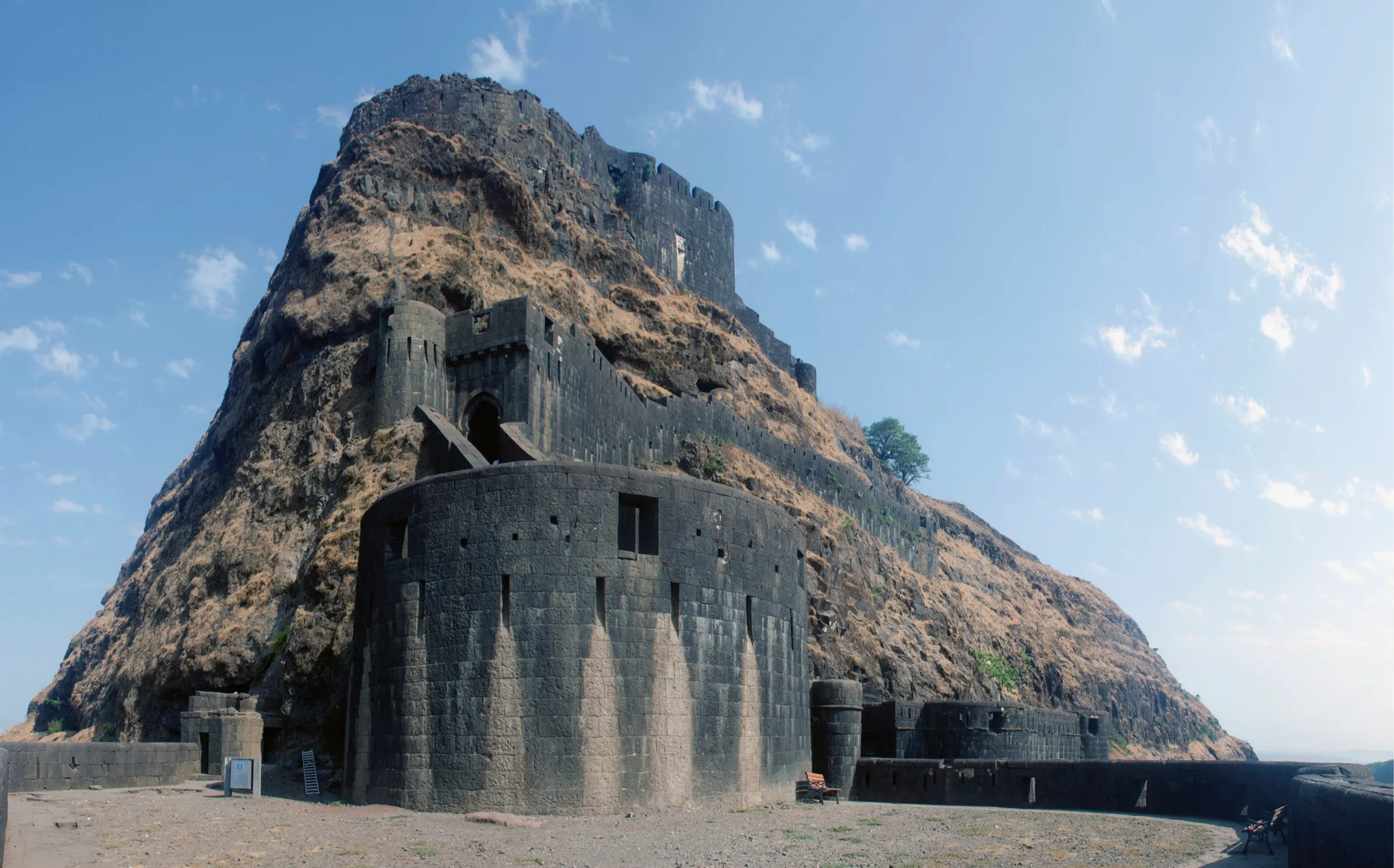
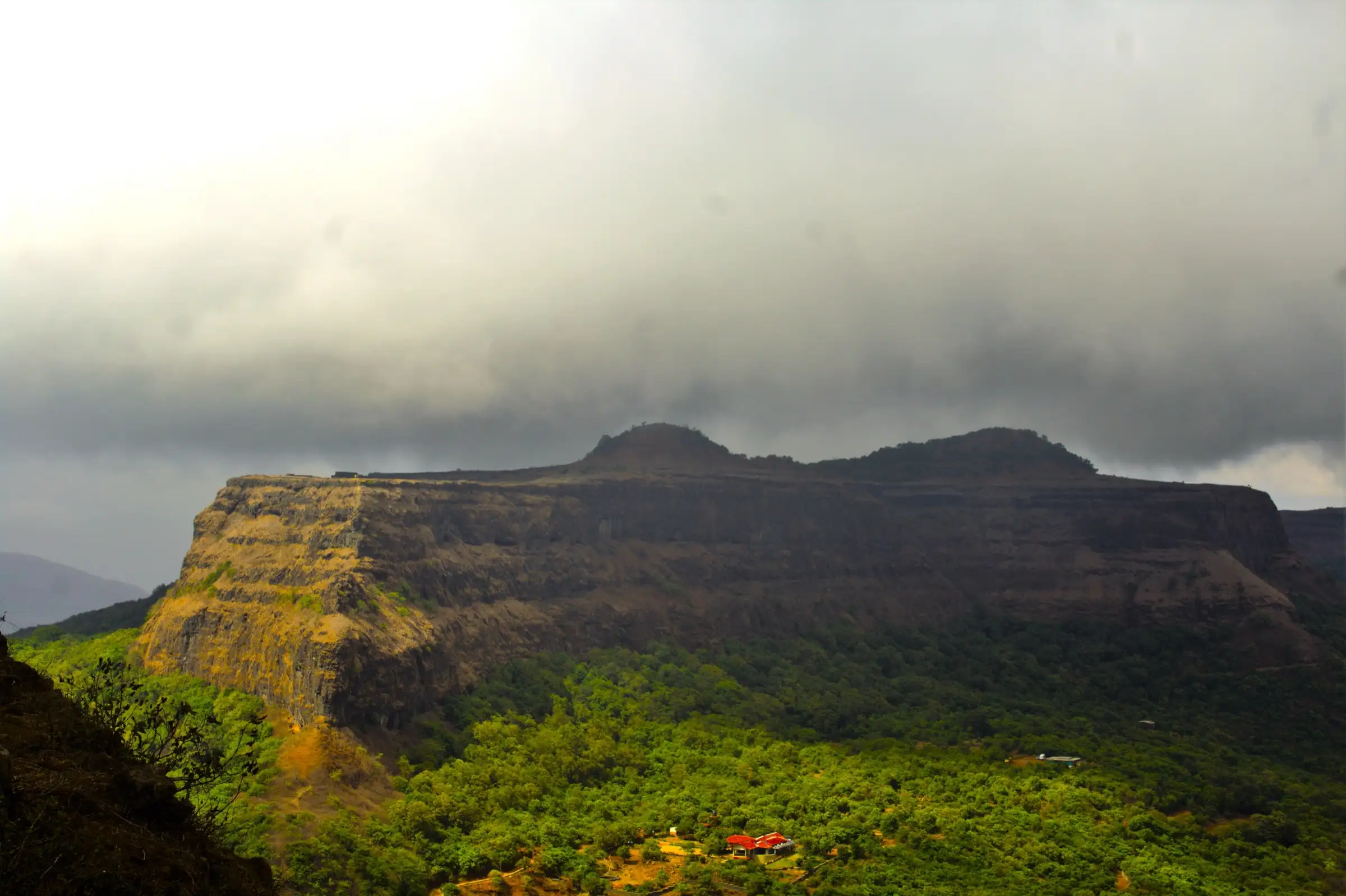
- Large fort plateau built in 1713–1720 by Peshwa Balaji Vishwanath, with long stretches of intact wall, bastions, rock-cut water tanks, caves and ruined wadas
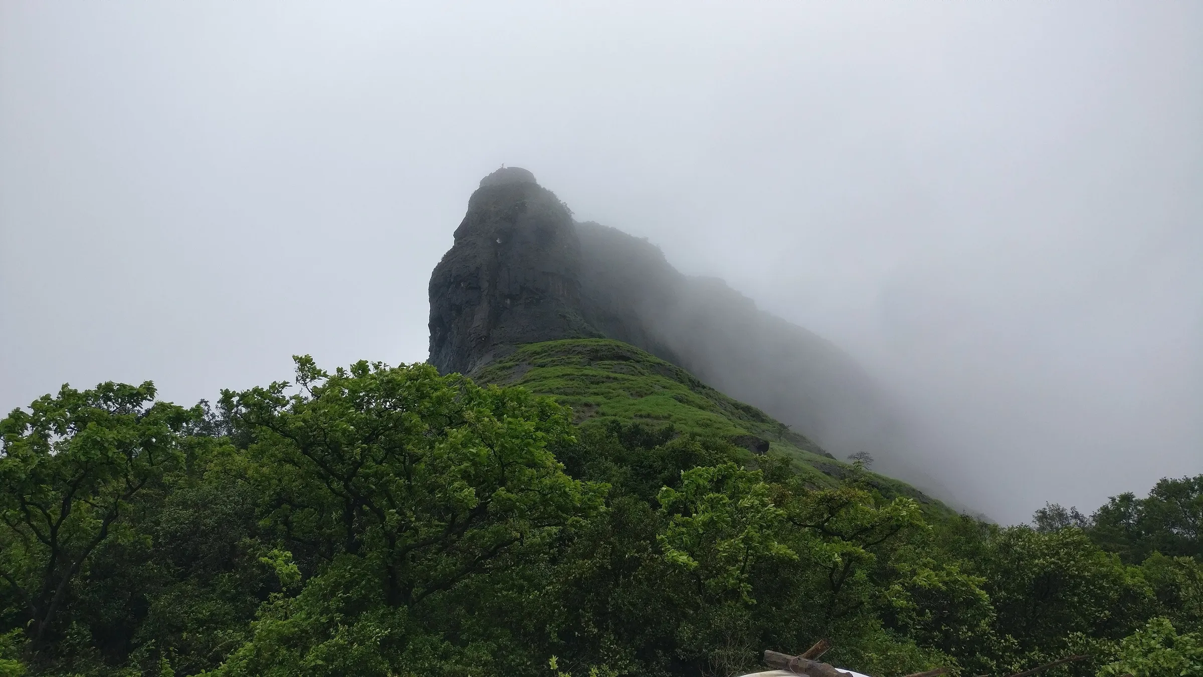
- Monsoon waterfall trail where water runs down the rock beside the path through a shaded forest corridor
- A large carving of Bhagwan Hanuman and several Hanuman shrines on the fort
- Close views across the valley to Lohagad, and on clear days to Tikona, Tung and Pawna Lake
- Bhaje Caves, early Buddhist rock-cut monasteries, right at the base village
Risks
- The waterfall section and rock-cut steps are slippery in the monsoon; wear trekking shoes with a firm grip and take the descent slowly.
- During heavy rain the Pune District Collector issues Section 163 BNSS orders for Lohagad, Visapur, Bhaje and nearby spots (in 2026 from 6 July, revoked on 16 July): no entering deep water, sitting under waterfalls or selfies at cliff edges. Check current orders before going.
- Camping and night treks on the fort are not allowed (Treks and Trails India cites the ASI and the forest department; Indiahikes also says camping is not permitted).
- Side paths branch towards fields and villages; follow the painted arrows and turn back to the last marker if you lose them. The Patan village route has fewer markers.
- Very crowded on monsoon weekends; start at first light.
- Summer (March–June) is hot on the open plateau with no water on the trail; start by 6:30 AM and carry extra water.
Know before you go
Questions
How difficult is the Visapur Fort trek?
It is a beginner-friendly trek. Operators grade it easy to moderate: about 4 km each way from Bhaje with roughly 400 m of climbing on a marked trail and no exposed or technical sections. Wet rock on the monsoon waterfall section is the main difficulty.
How long does it take to climb Visapur Fort?
About 2.5 to 3 hours up from Bhaje village, and allow 45 minutes to an hour on the plateau. The round trip is about 8 km from Bhaje (about 6 km by the shorter Patan village route). Treks and Trails India says the waterfall route from the Lohagadwadi side takes about an hour.
Do I need a permit or ticket for Visapur Fort?
Indiahikes says no formal permission or entry fee is required for the fort. We found no official notice confirming this, so check locally. Camping and night treks on the fort are not allowed.
When is the best time to trek to Visapur?
The monsoon (June to September) is the most popular season, when the waterfall trail is flowing and the plateau is green; July and August have the strongest flow. October to February gives clearer views and cooler weather and suits a combined Visapur–Lohagad day. Summer is hot.
Can I do Visapur and Lohagad on the same day?
Yes. The trail from Bhaje splits about 4 km out, left to Visapur and right to Lohagad. Indiahikes suggests doing Visapur first and then Lohagad, allowing 6 to 7 hours in all from Bhaje.
How do I reach the base village of Bhaje?
Take a Pune–Lonavala local train or an ST bus to Malavli, then a shared auto or a 2.5 km walk to Bhaje. By car, leave the expressway at Lonavala (or NH48 at Karla), drive to Malavli and on to Bhaje, where there is pay-and-park.
In an emergency
Save these numbers before you lose signal. Tap to call.
- 112All emergenciesIndia’s single emergency number — works in every state
- 108Ambulance
- 1077District disaster control room
You are in
District: PuneMaharashtra
- Nearest hospital
- Lonavala, about 12 km from Bhaje village.
- Last ATM
- Lonavala and Malavli; there are no banking facilities in Bhaje village.
- Phone network
- Signal at Bhaje village; weak or absent on the trail and the fort plateau for most networks, so download offline maps and a GPX track.
Before you set off
- Tell someone your route and when you will be back.
- Carry a charged phone and a power bank.
- Download an offline map of the route.
- Turn back if the weather turns bad — the mountain will wait.
Questions about Visapur Fort
No questions yet. Ask something and trekkers who have done it can answer.
Share your trek photo with #TreksAndTrails
I trekked this
Did Visapur Fort look different from this page? Tell us what changed and we will check it.
Where this comes from
Sources
Last reviewed:
- The Complete Guide to Visapur Fort Trek — Indiahikes
- Visapur Fort Trek — Bikat Adventures
- Visapur Fort Trek near Lonavala | Height, Route & Booking — Treks and Trails India
- Visapur Fort Trek — Adventure Club Pune
- Visapur Fort Trek from Pune — Bhatakna Tours and Travels
- Visapur Fort — Wikipedia
Photos: MagnaErucae, CC BY-SA 4.0; Sumedh.dorwat, CC BY-SA 4.0; shripophali, CC BY 2.0