Lohagad Fort Trek
Pune, Maharashtra
Opens without signal on this phone, with the map file and checklist. Saved for offline →
- Max altitude
- 1,033 m
- Days
- 1 day
- Distance
- 5 km
- Difficulty
- Easy
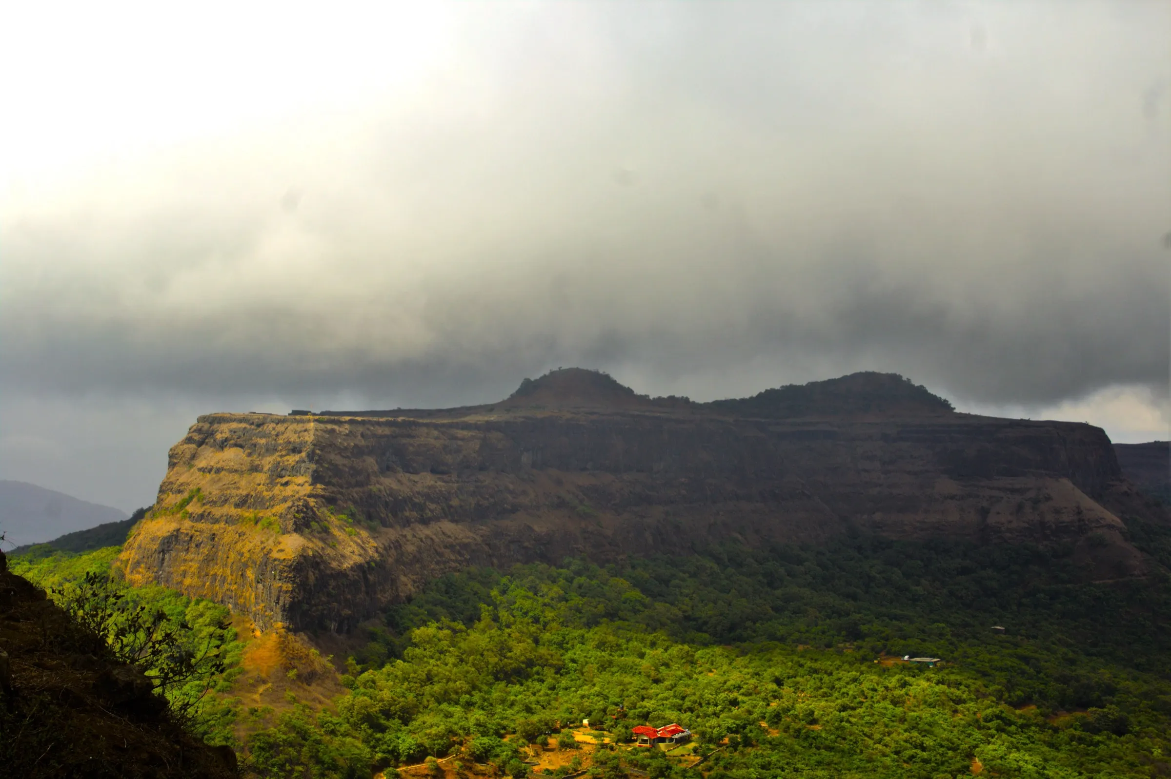
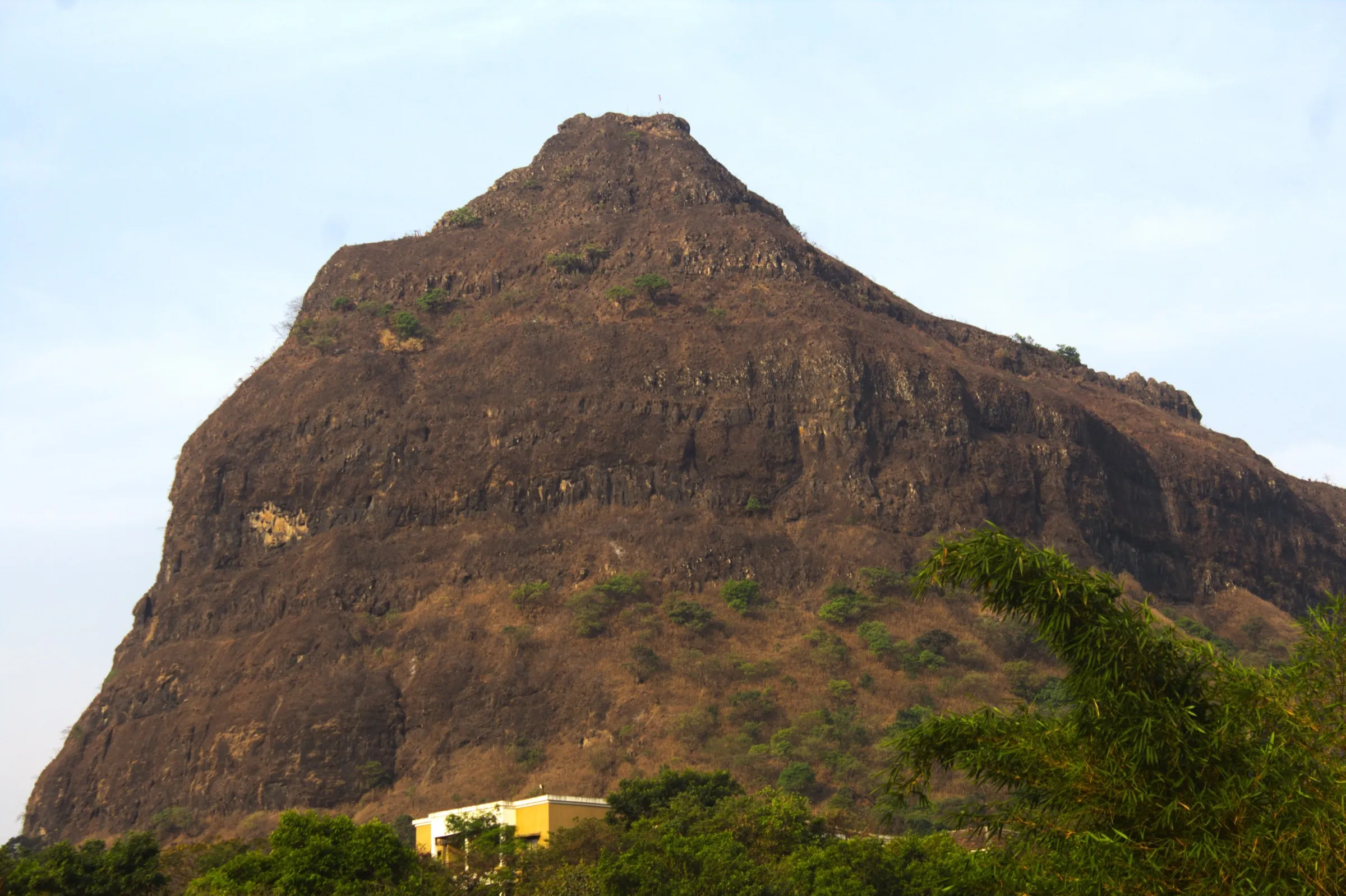
From Lohagadwadi the climb is about 150 m on built stone steps (roughly 300–500 steps) through four gates, then a flat plateau. Operators grade it easy and beginner-friendly; only the rocky descent to the Vinchu Kata spur and wet steps in the monsoon need care. Walking up from Malavli station via Bhaje adds about 5–6 km each way and roughly 400 m of climbing.
Photos
On the trail
The route
Day by day
Day 1 · highest point
Lohagadwadi → Lohagadwadi (via the four gates, the fort plateau and the Vinchu Kata spur)
880 m → 1,033 m → 880 m
Ups and downs
Altitude profile
Where it is
Map
Trailhead and high point only — not a recorded track. Use it with a proper map.
Weather
Next 5 days on the trail
Live forecast for the trailhead and the high point. Mountain weather changes fast — check again on the morning you start.
Trailhead · Lohagadwadi (Lohgadwadi) village
at 880 mLoading forecast…
High point · Lohagad Fort top
at 1,033 mLoading forecast…
Each day: high / low °C · rain mm and chance · snow cm · wind km/h
Weather data: Open-Meteo.comModel forecast, not an official warning. For alerts follow IMD and the local administration.
Plan the trip
How to reach
- Trailhead
- Lohagadwadi (Lohgadwadi) village (nearest town: Lonavala)
- Nearest railway
- Malavli (local trains on the Pune–Lonavala line), about 6 km by road from Lohagadwadi; Lonavala for express trains
- Nearest airport
- Pune International Airport (about 70 km)
- By road
- Pune (about 60–66 km via NH48 to Malavli, then up to Lohagadwadi); Mumbai (about 100 km via the Mumbai–Pune Expressway, Lonavala exit); Lonavala (about 16 km); Paud via Kolvan and Dudhiware Khind
- Drive
- About 2 h from Pune
Plan the trip
Permits and fees
We could not confirm the current permit rules and fees from an official source. Check with the local forest department or tourism office before you go.
Plan the trip
Cost
Self-guided
₹300–900
With an operator
₹899–1,599
Per person, ex-Pune, ex-Mumbai or ex-Lonavala. Guided prices published by operators (checked October 2026): Treks and Trails India ₹899 meeting at Lonavala, ₹1,399 Pune to Pune by bus and ₹1,599 Mumbai to Mumbai by AC bus (meals, leader and entry included); Foliage Outdoors ₹1,000 plus GST ex-Pune. Self-guided is an estimate ex-Pune: local train to Malavli, shared jeep or auto to Lohagadwadi, food at the base stalls, and the fort entry fee (a 2025 trip report quotes ₹25, plus ₹20 for bike parking).
Gear
Top picks for this trek
The gear that matters most on this route, chosen from its altitude, season and risks.
 Ad · affiliate link
 Ad · affiliate link
 Ad · affiliate link
 Ad · affiliate link
- Ad · affiliate link
 Ad · affiliate link
 Ad · affiliate link
 Ad · affiliate link
Store buttons open a search on that store, not a product we picked. As an Amazon Associate we earn from qualifying purchases. Photos show the kind of item, not a specific product. Affiliate disclosure
Packing checklist
Matched to this trek: altitude, season, days and the risks on the route.
Packed 0 of 20
Monsoon months (Jun–Sep): pack everything in plastic or a dry bag and wear shoes with good grip.
Tick each item as it goes in the bag.
Know before you go
Good to know
- Mobile network
- Signal at Lohagadwadi and patchy on the fort for most networks; download offline maps before you go.
- Last ATM
- Lonavala and Malavli; none at Lohagadwadi.
- Nearest hospital
- Lonavala, about 16 km from Lohagadwadi.
- Water
- Food and drink stalls at Lohagadwadi and along the lower steps up to the ticket counter; nothing is sold on the fort. A trip report says one rock-cut tank on top has drinking water, but carry at least 1.5–2 litres.
Highlights
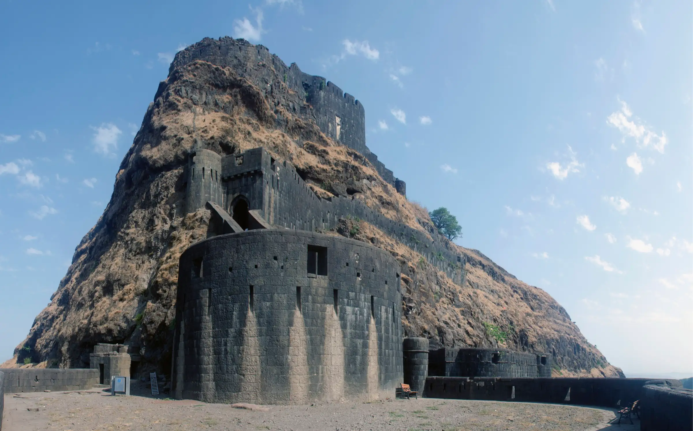
- Four intact gateways in sequence — Ganesh Darwaja (with carvings of Bhagwan Ganesh), Narayan Darwaja, Hanuman Darwaja (the oldest) and Maha Darwaja
- Vinchu Kata (Scorpion's Tail), a narrow fortified spur about 1.5 km long running north-west from the fort
- Laxmi Kothi, a large rock-cut chamber linked to the fort's treasury, plus rock-cut tanks including the eight-sided Trimbak tank
- A Mahadev temple and a Hanuman shrine on the plateau, and an old dargah near the top gate
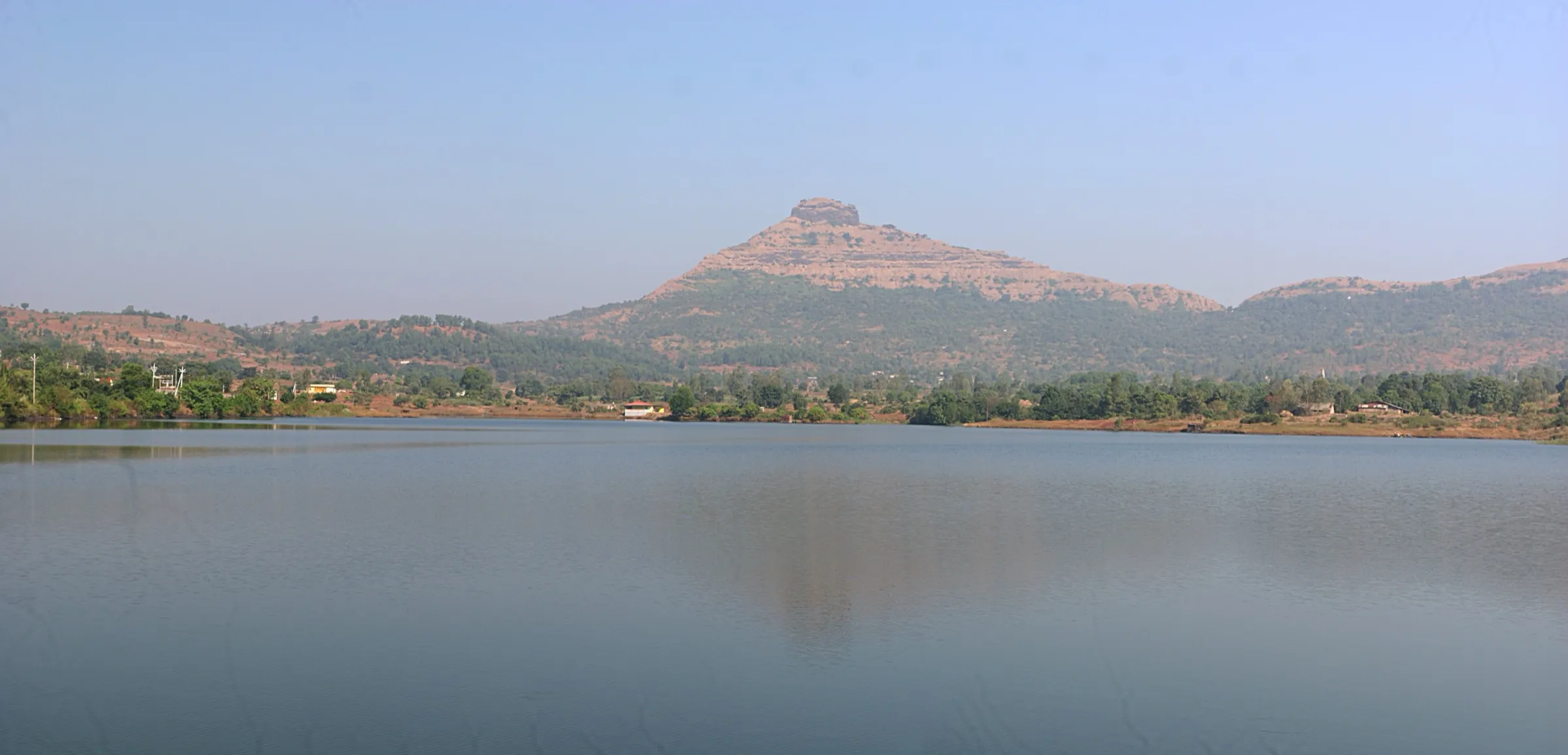
- Part of the UNESCO World Heritage 'Maratha Military Landscapes of India' (inscribed 2025); views over Pawna Lake to Visapur, Tikona and Tung
- A 2nd–1st century BCE Jain Brahmi inscription found in 2019 in a rock-cut cave on the cliff near Lohagadwadi
Risks
- Closures happen at short notice: Lonavala Rural Police shut the fort to visitors from 30 June 2026 during the Ketan Agarwal murder investigation, and no reopening notice was found as of 16 October 2026. Confirm with Lonavala Rural Police or locally before you travel.
- During heavy rain the Pune District Collector issues Section 163 BNSS safety orders for Lohagad, Visapur, Bhaje and nearby spots (in 2026 from 6 July, revoked on 16 July). Check current orders.
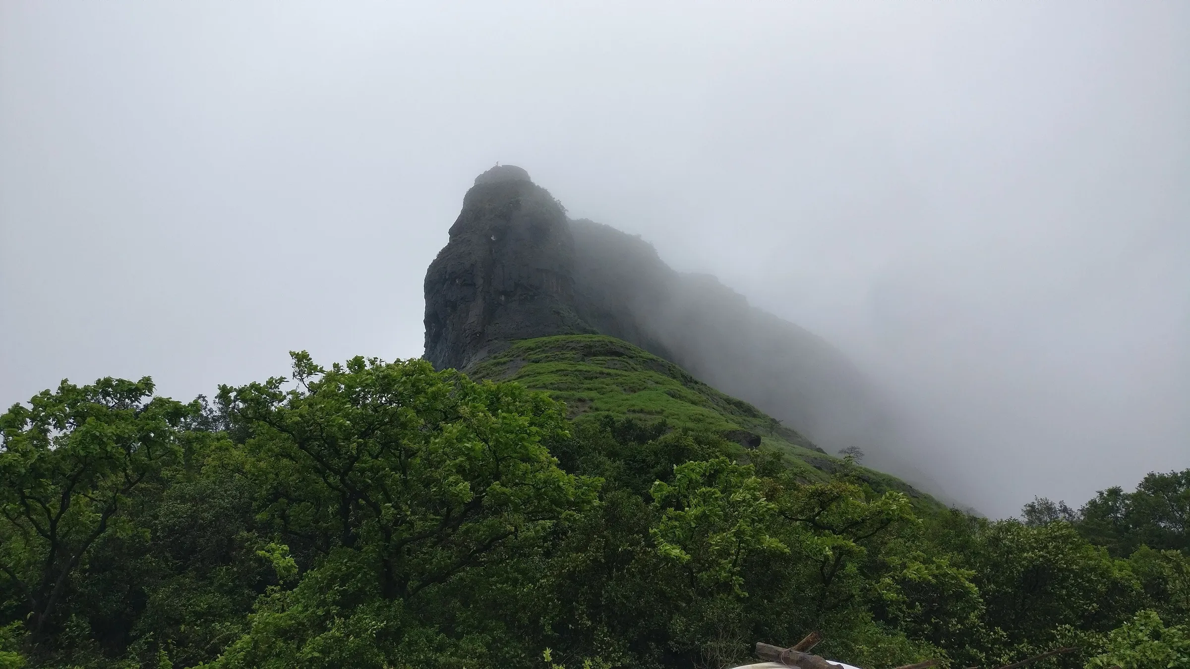
- The stone steps and the rocky path down to Vinchu Kata are slippery in the monsoon; wear shoes with a firm grip and stay back from unwalled cliff edges, especially in mist and strong wind.
- The fort is open only in the day (a 2025 trip report gives 8 AM to 6 PM); camping or staying overnight on the fort is not possible.
- Very crowded on monsoon weekends, with queues on the steps; go on a weekday or start early.
- Hot and exposed in April–May; start early and carry extra water.
Know before you go
Questions
How difficult is the Lohagad Fort trek?
It is one of the easiest fort treks near Pune and Mumbai. From Lohagadwadi it is a stone-stepped climb of about 45 minutes to an hour to the top, and the plateau is flat. Only the descent to Vinchu Kata is rocky and can be slippery in the monsoon.
How long does the Lohagad trek take and how far is it?
Treks and Trails India puts it at around 5 km in all from Lohagadwadi, with a 45-minute to 1-hour climb (about 2 hours if you walk from Malavli). Allow 3–4 hours to climb, walk round the fort and reach Vinchu Kata, and return.
What is the height of Lohagad Fort?
Maharashtra Tourism gives 1,033 m (3,389 ft) above sea level. Some sites quote 3,450 ft (1,052 m).
Is there an entry fee or fixed timing for Lohagad?
A 2025 trip report says entry costs ₹25 and the fort is open from 8 AM to 6 PM. We found no official notice of the current fee or timings, so check at the ticket counter.
Is Lohagad Fort open now?
Police closed the fort to visitors from 30 June 2026 during a murder investigation, and reports in July said no reopening date had been announced. We could not confirm that it has reopened, so check with Lonavala Rural Police or the Lohagadwadi villagers before you go.
When is the best time to visit Lohagad?
Maharashtra Tourism recommends October to March for cool weather and the monsoon (June–September) for greenery and mist, with care on slippery steps. Operators run it from June to February. Summer is hot, so start early.
How do I reach Lohagad from Pune or Mumbai?
Take a Pune–Lonavala local train to Malavli; shared jeeps and autos run the 6 km to Lohagadwadi on weekends, or you can walk up via Bhaje. By car, leave the expressway at Lonavala and drive via Malavli to the Lohagadwadi parking.
In an emergency
Save these numbers before you lose signal. Tap to call.
- 112All emergenciesIndia’s single emergency number — works in every state
- 108Ambulance
- 1077District disaster control room
You are in
District: PuneMaharashtra
- Nearest hospital
- Lonavala, about 16 km from Lohagadwadi.
- Last ATM
- Lonavala and Malavli; none at Lohagadwadi.
- Phone network
- Signal at Lohagadwadi and patchy on the fort for most networks; download offline maps before you go.
Before you set off
- Tell someone your route and when you will be back.
- Carry a charged phone and a power bank.
- Download an offline map of the route.
- Turn back if the weather turns bad — the mountain will wait.
Questions about Lohagad Fort
No questions yet. Ask something and trekkers who have done it can answer.
Share your trek photo with #TreksAndTrails
I trekked this
Did Lohagad Fort look different from this page? Tell us what changed and we will check it.
Where this comes from
Sources
Last reviewed:
- Lohagad - Department of Tourism Maharashtra — Maharashtra Tourism (Department of Tourism, Government of Maharashtra) (official)
- Lohagad Fort Trek near Lonavala | Height, History & Timings — Treks and Trails India
- Lohagad Fort Trek from Mumbai — Ttrikon
- Lohagad fort: Why beginners love this Lonavala trek — TheFreeBird
- Lohagad — Wikipedia
- Lohagad Fort Near Lonavala, Trekking at Lohagad Fort — LonavlaOnline
- Trek to Fort Lohagad — Foliage Outdoors
- Pune's Lohagad Fort temporarily shut after surge in visitors following realtor murder investigation — Indiablooms
Photos: Rangan Datta Wiki, CC BY-SA 4.0; Rangan Datta Wiki, CC BY-SA 4.0; Sigma1010, CC BY-SA 4.0