Umberkhind Trek
Pune (Kurvande, Mawal) and Raigad (Chavani, Khalapur), Maharashtra
Opens without signal on this phone, with the map file and checklist. Saved for offline →
- Max altitude
- 669 m
- Days
- 1 day
- Distance
- 17 km
- Difficulty
- Moderate
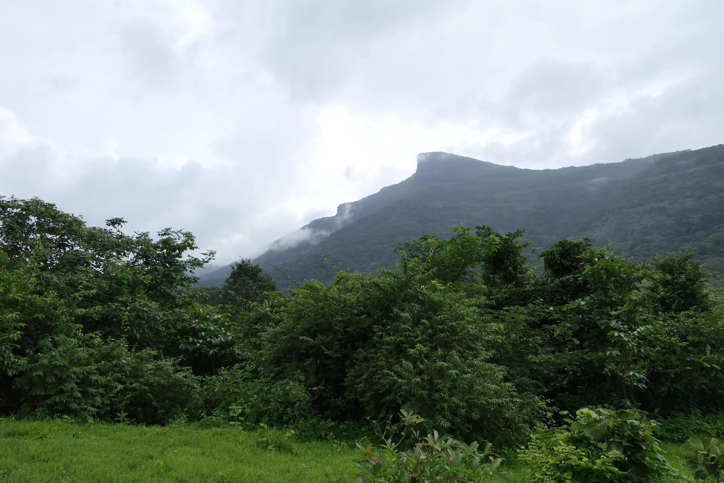
A long one-day loop of about 16–18 km. You lose about 600 m on the way down to the Amba river and climb it all back up the steep Kurvande Ghat. Indiahikes calls that climb the hardest part. You also have to cross the Amba river, and the trail is hard to find in peak monsoon.
Photos
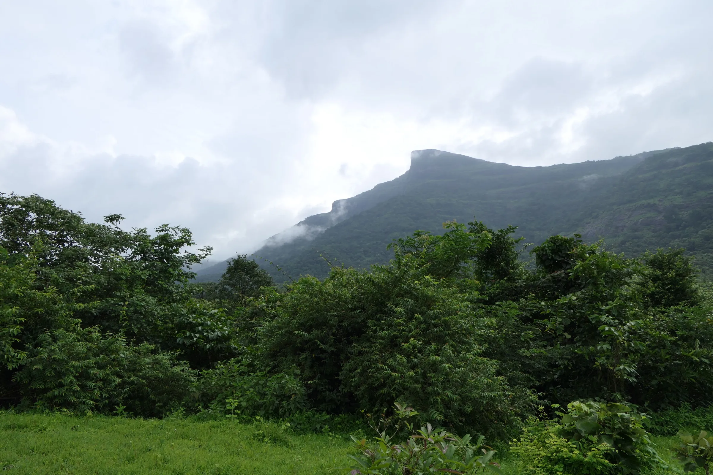
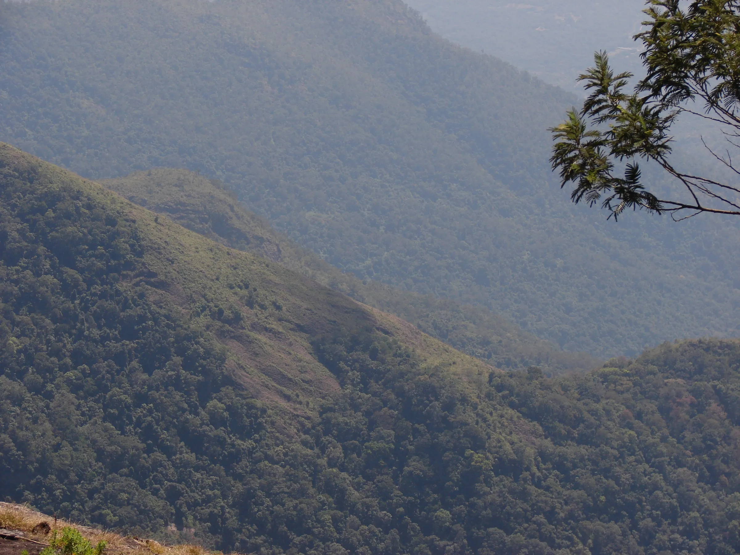
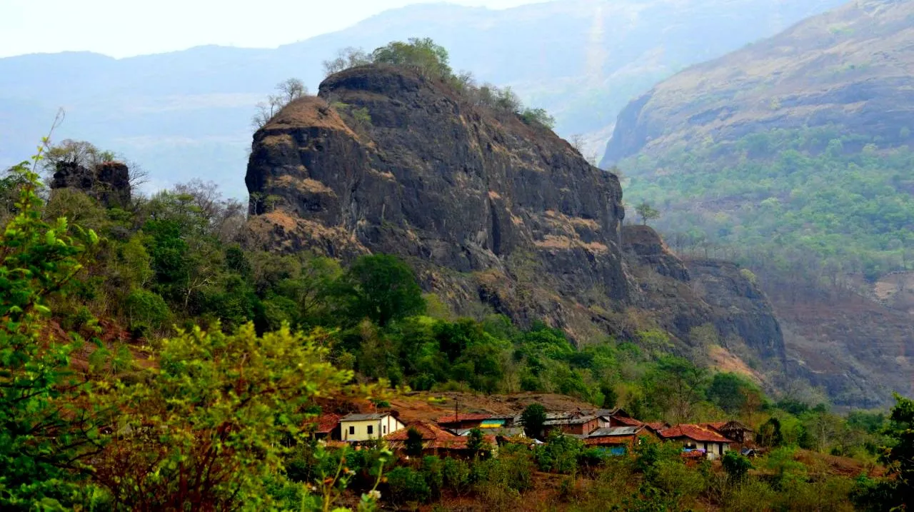
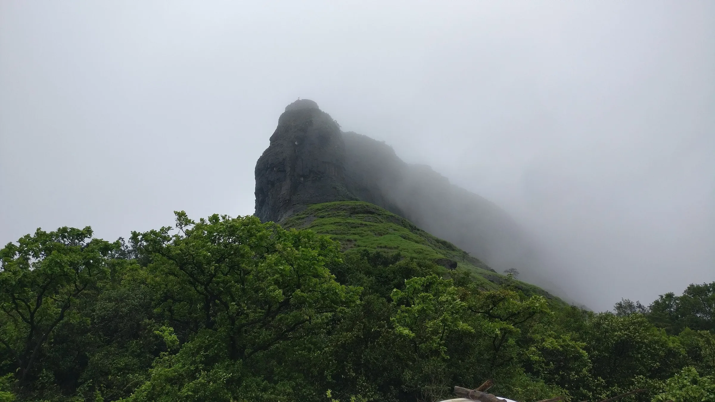
On the trail
The route
Day by day
Day 1 · highest point
Kurvande village (INS Shivaji fence) → Kurvande village via Dhangarpada, Savardand, Chavani, Umberkhind memorial and Kurvande Ghat
633 m → 669 m → 633 m
Ups and downs
Altitude profile
Where it is
Map
Trailhead and high point only — not a recorded track. Use it with a proper map.
Weather
Next 5 days on the trail
Live forecast for the trailhead and the high point. Mountain weather changes fast — check again on the morning you start.
Trailhead · Kurvande village (near INS Shivaji)
at 633 mLoading forecast…
High point · Plateau at the top of Kurvande Ghat, near the start
at 669 mLoading forecast…
Each day: high / low °C · rain mm and chance · snow cm · wind km/h
Weather data: Open-Meteo.comModel forecast, not an official warning. For alerts follow IMD and the local administration.
Plan the trip
How to reach
- Trailhead
- Kurvande village (near INS Shivaji) (nearest town: Lonavala)
- Nearest railway
- Lonavala (Mumbai–Pune line), then about 30 minutes by road to Kurvande. If you end at Shembdi on the Pali–Khopoli road instead, Khopoli is the railhead.
- Nearest airport
- Pune International Airport (Mumbai airport is a similar distance by road)
- By road
- Mumbai – Mumbai-Pune Expressway/old highway – Lonavala – Kurvande (INS Shivaji road); Pune – Lonavala (about 53 km) – Kurvande; Khopoli – Umbre – Chavani (about 8 km from Umbre) by road, if you only want to visit the memorial
- Drive
- About 2 h from Pune
Plan the trip
Permits and fees
We could not confirm the current permit rules and fees from an official source. Check with the local forest department or tourism office before you go.
Plan the trip
Cost
Self-guided
₹400–1,000
With an operator
₹1,200–2,000
Guided is ex-Mumbai/Pune; self-guided is ex-Lonavala. Treks and Trails India (treksandtrails.org) lists a one-day Umberkhind trek at ₹1,200 per person. We found no second operator's current price, so the guided range is only a guide. The self-guided estimate covers a shared auto or taxi from Lonavala to Kurvande, a packed lunch and snacks at Chavani. If you end at Shembdi, add a bus or tumtum on the Pali–Khopoli road.
Gear
Top picks for this trek
The gear that matters most on this route, chosen from its altitude, season and risks.
 Ad · affiliate link
 Ad · affiliate link
 Ad · affiliate link
- Ad · affiliate link
 Ad · affiliate link
 Ad · affiliate link
 Ad · affiliate link
 Ad · affiliate link
Store buttons open a search on that store, not a product we picked. As an Amazon Associate we earn from qualifying purchases. Photos show the kind of item, not a specific product. Affiliate disclosure
Packing checklist
Matched to this trek: altitude, season, days and the risks on the route.
Packed 0 of 19
Hot days in Mar: start at first light and carry extra water and ORS.
Tick each item as it goes in the bag.
Know before you go
Good to know
- Mobile network
- Indiahikes says Airtel and Jio work at most places on the trail.
- Last ATM
- Lonavala, about 11 km from Kurvande. Carry cash.
- Nearest hospital
- Lonavala on the plateau side; Khopoli on the Konkan side. Check locally.
- Water
- An old drinking-water well before Dhangarpada is the first source, and there is none after it until Chavani village (Indiahikes). After the monsoon you also get streams and the Amba river. Carry at least 2 litres and treat the water before drinking.
Highlights
- Walk the ghat route where Chhatrapati Shivaji Maharaj's small Maratha force ambushed and defeated the Mughal general Kartalab Khan in the Umberkhind battle of February 1661.
- The Umberkhind Vijay Stambh war memorial stands on the rocky bed of the Amba river near Chavani. Shiv Durga Mitra and the Chavani villagers built it in 2007.
- A loop with a different way down and way up: down through Dhangarpada and the Savardand forest, back up the steep Kurvande Ghat. Khan's army is said to have come down this ghat.
- You see the Duke's Nose (Nagphani) cliff from much of the trail. After the monsoon, waterfalls run down the Sahyadri walls.
Risks
- Amba river crossing: Indiahikes says the river runs furious in the June–September monsoon and is very hard to cross, so it does not recommend the trek in those months. Treks and Trails India still sells it as a monsoon trek. Do not cross in spate, and turn back if the water is high.
- Trail-finding: the path through Dhangarpada and Savardand gets overgrown and almost disappears in peak monsoon. Beginners and solo trekkers should go from September onwards, carry an offline route map or ask villagers the way.
- The Kurvande Ghat climb back to the plateau is steep and gains about 600 m in 1.5–2 hours. It is exposed to the sun, and summer heat makes it hard work. Start by 8 am so you are out of the forest before dark.
- Wildlife: Indiahikes reports leopards in these woods. Do not wander or camp alone in the forest. Camp only near Chavani or Dhangarpada settlements, or at the Duke's Nose site.
- INS Shivaji naval area: the first part of the trail follows the naval station's fence. Stay on the marked trail and keep away from the fence.
- Monsoon orders: in some years the Pune district collector has issued Section 163 BNSS prohibitory orders for monsoon tourist spots around Lonavala (2025's order named places such as Lohagad, Karla and Bhaje caves and ran to 31 August 2025). We found no order naming Umberkhind or Chavani, but check for any current Pune or Raigad district monsoon restriction before you go.
Know before you go
Questions
Where does the Umberkhind trek start, and how long is it?
Most trekkers start from Kurvande village near INS Shivaji, about 8 km from Lonavala. You walk down through Dhangarpada and Savardand to the Amba river, Chavani and the war memorial, then climb back up the Kurvande Ghat. Treks and Trails India puts the walk at 16 km. A recorded GPS track of the loop is about 18 km. Indiahikes' section distances add up to about 17 km.
Can I just drive to the Umberkhind memorial?
Yes. Indiahikes says you can reach the memorial by road from Khopoli through Umbre village; Chavani is about 8 km from Umbre. The trek is the old ghat route down from the Lonavala plateau. You can also do it one way and finish on the tar road to Shembdi village on the Pali–Khopoli road.
Is Umberkhind a good monsoon trek?
Opinions differ. Treks and Trails India calls the monsoon the best time. Indiahikes recommends October to March: in peak monsoon (June–September) the Amba river is very hard to cross and the trail is hard to find. If you go in the rains, go with a group that knows the route and check the river level.
Do I need a permit for the Umberkhind trek?
Indiahikes says no permission is needed at any point. We found no official source to confirm this, so check locally, especially about the INS Shivaji naval area at the start.
What happened at Umberkhind?
In February 1661 the Mughal general Kartalab Khan brought his army down the Kurvande Ghat into the Umberkhind ravines. Chhatrapati Shivaji Maharaj's much smaller Maratha force ambushed it in the forest, and Kartalab Khan surrendered within a few hours. A memorial (Vijay Stambh) stands by the Amba river near Chavani.
In an emergency
Save these numbers before you lose signal. Tap to call.
- 112All emergenciesIndia’s single emergency number — works in every state
- 108Ambulance
- 1077District disaster control room
You are in
District: Pune (Kurvande, Mawal) and Raigad (Chavani, Khalapur)Maharashtra
- Nearest hospital
- Lonavala on the plateau side; Khopoli on the Konkan side. Check locally.
- Last ATM
- Lonavala, about 11 km from Kurvande. Carry cash.
- Phone network
- Indiahikes says Airtel and Jio work at most places on the trail.
Before you set off
- Tell someone your route and when you will be back.
- Carry a charged phone and a power bank.
- Download an offline map of the route.
- Turn back if the weather turns bad — the mountain will wait.
Questions about Umberkhind
No questions yet. Ask something and trekkers who have done it can answer.
Share your trek photo with #TreksAndTrails
I trekked this
Did Umberkhind look different from this page? Tell us what changed and we will check it.
Where this comes from
Sources
Last reviewed:
- Umberkhind Trek - A Historic Trek Through a Battlefield in the Sahyadris — Indiahikes
- UMBERKHIND TREK — Treks and Trails India (treksandtrails.org)
- Umberkhind (GPS track, recorded August 2025) — Wikiloc (Rajashri_Kamath)
- Monsoon trekking in Maharashtra — The Telegraph (India)
- Sarasgad Umberkhind — Foliage Outdoors
Photos: Dinesh Valke from Thane, India, CC BY-SA 2.0; Kiranpawar3210, CC BY-SA 4.0; DKolsawala, CC BY-SA 4.0