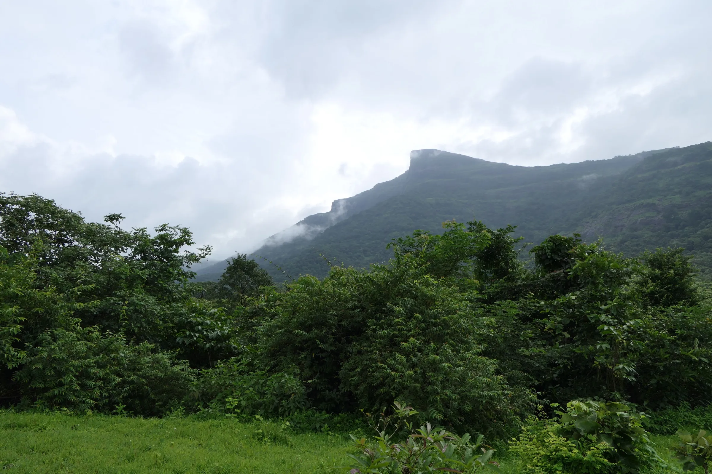
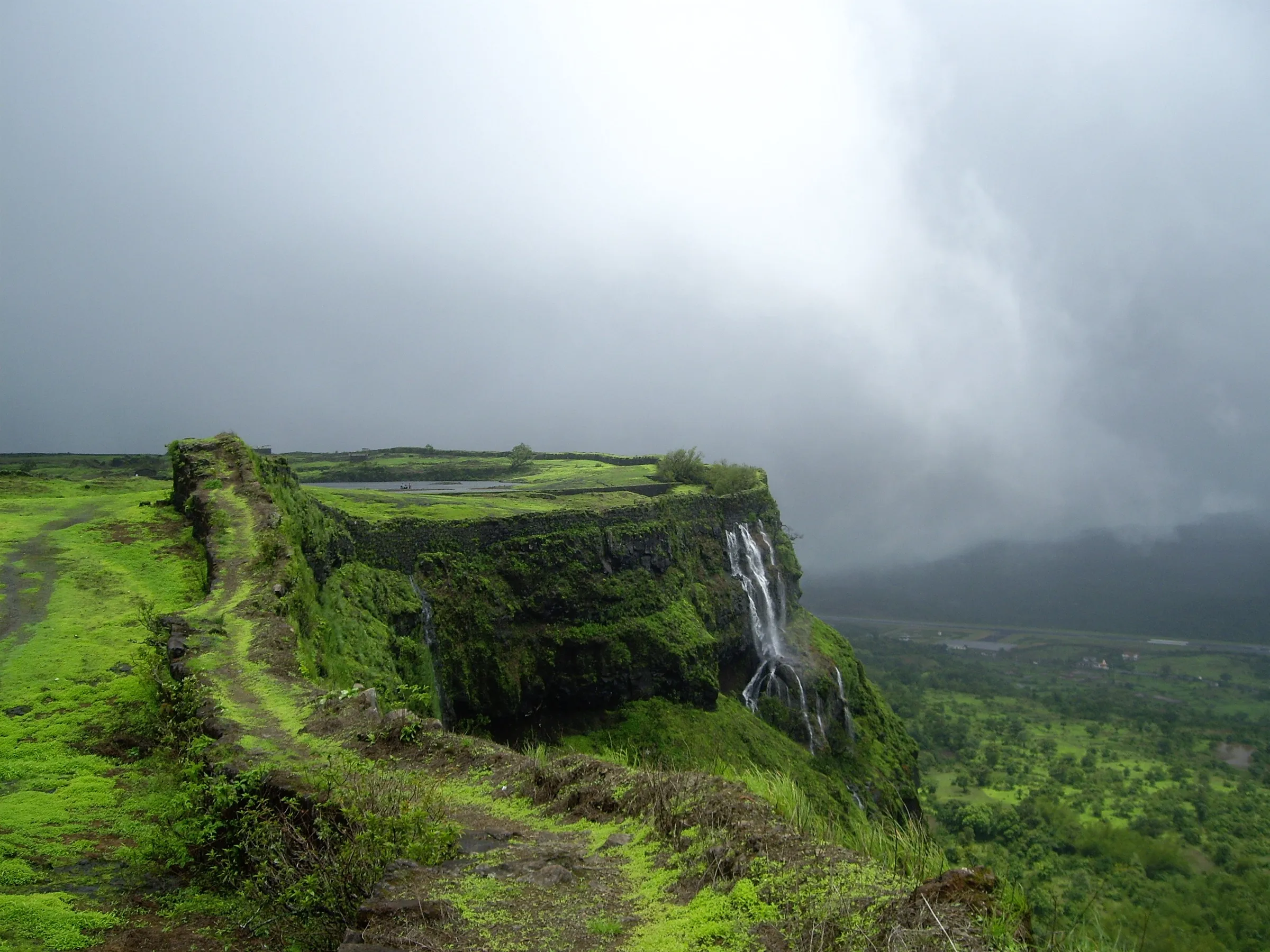
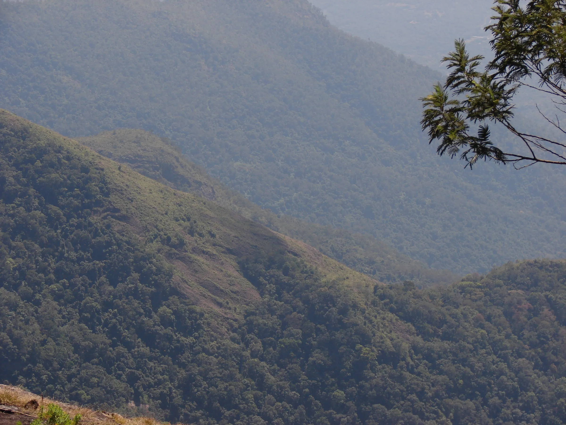
Mrugagad Trek
Raigad, Maharashtra
Opens without signal on this phone, with the map file and checklist. Saved for offline →
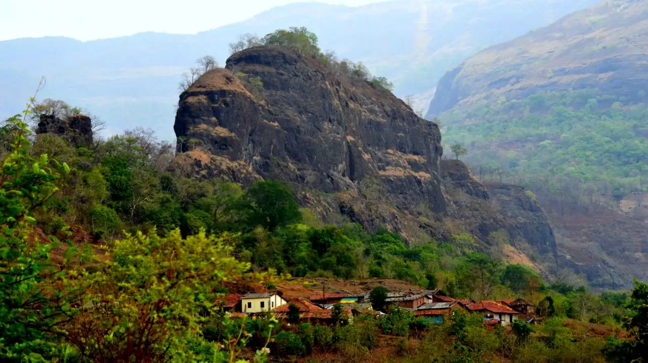
- Max altitude
- 533 m
- Satellite terrain suggests about 241 m
- Days
- 1 day
- Distance
- 4 km
- Difficulty
- Moderate
Short half-day climb through forest, but the top needs a narrow one-person chimney between two pinnacles, a short rock patch and steep rock-cut steps of uneven height. Mischief Treks calls it easy; Durgbharari and bijoor.me call it medium and say some sections are tricky for novices, especially in the rain.
Photos
On the trail
The route
Day by day
Day 1 · highest point
Bheliv village → Bheliv village (via the chimney and rock-cut steps to the top)
95 m → 533 m → 95 m
Ups and downs
Altitude profile
Where it is
Map
Trailhead and high point only — not a recorded track. Use it with a proper map.
Weather
Next 5 days on the trail
Live forecast for the trailhead and the high point. Mountain weather changes fast — check again on the morning you start.
Trailhead · Bheliv village
at 95 mLoading forecast…
High point · Mrugagad top (Mahishasurmardini Mata mandir)
at 533 mLoading forecast…
Each day: high / low °C · rain mm and chance · snow cm · wind km/h
Weather data: Open-Meteo.comModel forecast, not an official warning. For alerts follow IMD and the local administration.
Plan the trip
How to reach
- Trailhead
- Bheliv village (nearest town: Khopoli)
- Nearest railway
- Khopoli (about 30 km; share auto to Khopoli Phata, then bus or shared vehicle via Parli/Jambhulpada towards Mangaon and Bheliv)
- Nearest airport
- Pune International Airport (Mumbai airports are a similar distance by road)
- By road
- Mumbai – Mumbai-Pune Expressway (Khopoli exit) – Khopoli–Pali road – Jambhulpada – Bheliv; Pune – Lonavala – Khopoli – Jambhulpada – Bheliv; Pali – Parli – Jambhulpada – Bheliv
- Drive
- About 3 h from Mumbai
Plan the trip
Permits and fees
We could not confirm the current permit rules and fees from an official source. Check with the local forest department or tourism office before you go.
Plan the trip
Cost
Self-guided
₹300–1,000
With an operator
₹750–1,400
Ex-Mumbai. Mischief Treks lists ₹750 per person if you reach Bheliv yourself and ₹1,400 with a non-AC bus from Mumbai (breakfast, lunch and trek lead included; no batches scheduled when checked). Treks and Trails India lists ₹999. Self-guided estimate covers local train to Khopoli, shared auto/bus via Parli and Jambhulpada, simple food, and an optional local guide from Bheliv.
Gear
Top picks for this trek
The gear that matters most on this route, chosen from its altitude, season and risks.
 Ad · affiliate link
 Ad · affiliate link
 Ad · affiliate link
 Ad · affiliate link
- Ad · affiliate link
 Ad · affiliate link
 Ad · affiliate link
 Ad · affiliate link
Store buttons open a search on that store, not a product we picked. As an Amazon Associate we earn from qualifying purchases. Photos show the kind of item, not a specific product. Affiliate disclosure
Packing checklist
Matched to this trek: altitude, season, days and the risks on the route.
Packed 0 of 21
Monsoon months (Jul–Sep): pack everything in plastic or a dry bag and wear shoes with good grip.
Tick each item as it goes in the bag.
Know before you go
Good to know
- Mobile network
- Not confirmed by any source; expect weak signal at the base. Check locally.
- Last ATM
- Khopoli or Pali; carry cash.
- Nearest hospital
- Pali or Khopoli (about 30 km). Check locally.
- Water
- No drinking water on the fort (Wikipedia, Durgbharari) — carry at least 2 litres from Bheliv. The rock-cut tanks on top are not a reliable source.
Highlights
- A little-visited, small hill fort on a spur of the Sahyadri above Bheliv, with forest trail marked by white arrows
- A narrow chimney between the last two pinnacles, then steep rock-cut steps to the top
- Rock-cut caves on the way up, a small Hanuman mandir near the steps and the Mahishasurmardini Mata mandir on top
- Rock-cut water tanks and ruins on the summit
- Views of the Lonavala ghat edge, Sarasgad and the Umbarkhind battlefield area, where Chhatrapati Shivaji Maharaj's Marathas defeated Kartalab Khan
Risks
- The chimney between the pinnacles takes one person at a time and is hard for beginners, especially in monsoon; Durgbharari says the old trail is lost after the gorge and a short rock climb is needed.
- Rock-cut steps are steep, of uneven height and slippery when wet; bijoor.me advises a guide for novices.
- Durgbharari advises against a monsoon visit because the trail is narrow; Mischief Treks runs it in monsoon and warns of slippery rock, insects and mosquitoes.
- Animals may shelter in the caves (Treks and Trails India) — look before entering.
- No 2025–26 Raigad district order naming Mrugagad was found; Raigad has closed nearby spots such as Devkund in past monsoons, so check for a current order before going.
- No water on the fort; carry enough for a 3-hour hike in the heat.
Know before you go
Questions
Where does the Mrugagad trek start?
From Bheliv village in Sudhagad taluka, Raigad. Treks and Trails India says the path starts behind the temple by the village school; Bheliv is reached via Jambhulpada on the Khopoli–Pali road, about 30 km from Khopoli.
How long does the Mrugagad trek take?
Wikipedia gives about 1 hour from Bheliv to the top. Mischief Treks quotes about 1.5 hours up and 1 hour down, and Durgbharari about 3 hours for the climb, exploring and return — plan a half day.
How high is Mrugagad Fort?
Wikipedia and Mischief Treks give 1,750 ft (533 m); Durgbharari gives 940 ft. Satellite terrain data reads about 240 m at the top, so the lower figure may be closer — treat the height as uncertain.
Is Mrugagad difficult?
It is short but has a narrow chimney climb and steep rock-cut steps. Operators rate it easy to medium; first-timers should go with a guide and avoid the climb when the rock is wet.
Is there water on Mrugagad?
No. Wikipedia and Durgbharari both say there is no drinking water on the fort; carry at least 2 litres from the village.
In an emergency
Save these numbers before you lose signal. Tap to call.
- 112All emergenciesIndia’s single emergency number — works in every state
- 108Ambulance
- 1077District disaster control room
You are in
District: RaigadMaharashtra
- Nearest hospital
- Pali or Khopoli (about 30 km). Check locally.
- Last ATM
- Khopoli or Pali; carry cash.
- Phone network
- Not confirmed by any source; expect weak signal at the base. Check locally.
Before you set off
- Tell someone your route and when you will be back.
- Carry a charged phone and a power bank.
- Download an offline map of the route.
- Turn back if the weather turns bad — the mountain will wait.
Questions about Mrugagad
No questions yet. Ask something and trekkers who have done it can answer.
Share your trek photo with #TreksAndTrails
I trekked this
Did Mrugagad look different from this page? Tell us what changed and we will check it.
Where this comes from
Sources
Last reviewed:
- Mrugagad — Wikipedia
- Mrugagad Fort Trek — Mischief Treks
- Mrugagad Fort Trek — Treks and Trails India
- Mruggad — Durgbharari
- Trek to Mrugagad Fort - Medium Difficulty Half Day Trek — bijoor.me (trip report)
Photos: Ccmarathe, CC BY-SA 4.0; Ccmarathe, CC BY-SA 4.0; Ccmarathe, CC BY-SA 4.0; Ccmarathe, CC BY-SA 4.0