Nagphani Trek
Pune, Maharashtra
Opens without signal on this phone, with the map file and checklist. Saved for offline →
- Max altitude
- 975 m
- Satellite terrain suggests about 750 m
- Days
- 1 day
- Distance
- 4 km
- Difficulty
- Easy
About 2 km each way and roughly an hour up from Kurvande: a flat walk of about 1.3 km, then a steep 750 m climb over large rocks that needs hands on the way down. Short, but the summit sits on the edge of a near-vertical cliff.
Photos
On the trail
The route
Day by day
Day 1 · highest point
Kurvande village → Kurvande village (via Nagphani top)
625 m → 975 m → 625 m
Ups and downs
Altitude profile
Where it is
Map
Trailhead and high point only — not a recorded track. Use it with a proper map.
Weather
Next 5 days on the trail
Live forecast for the trailhead and the high point. Mountain weather changes fast — check again on the morning you start.
Trailhead · Kurvande village (trek parking near Leela Villa)
at 625 mLoading forecast…
High point · Nagphani (Duke's Nose) top, Shiv mandir
at 975 mLoading forecast…
Each day: high / low °C · rain mm and chance · snow cm · wind km/h
Weather data: Open-Meteo.comModel forecast, not an official warning. For alerts follow IMD and the local administration.
Plan the trip
How to reach
- Trailhead
- Kurvande village (trek parking near Leela Villa) (nearest town: Lonavala)
- Nearest railway
- Lonavala (about 6-7 km from the trek start)
- Nearest airport
- Pune International Airport (Lohegaon)
- By road
- Mumbai (about 90 km via the Mumbai-Pune Expressway to Lonavala, then to Kurvande); Pune (about 75 km); Lonavala railway station (6-7 km, about 20 minutes by auto-rickshaw)
- Drive
- About 2.5 h from Mumbai
Plan the trip
Permits and fees
We could not confirm the current permit rules and fees from an official source. Check with the local forest department or tourism office before you go.
Plan the trip
Cost
Self-guided
₹200–800
With an operator
₹1,000–1,200
Per person. Guided day trips are priced ex-Mumbai by bus: Foliage Outdoors ₹1,000 + GST and Treks and Trails India ₹1,199 (breakfast, non-AC bus and trek leader). Self-guided is an estimate ex-Lonavala: return auto-rickshaw to Kurvande shared in a group, plus water and snacks; there is no entry fee we could confirm.
Gear
Top picks for this trek
The gear that matters most on this route, chosen from its altitude, season and risks.
 Ad · affiliate link
 Ad · affiliate link
 Ad · affiliate link
 Ad · affiliate link
- Ad · affiliate link
 Ad · affiliate link
 Ad · affiliate link
 Ad · affiliate link
Store buttons open a search on that store, not a product we picked. As an Amazon Associate we earn from qualifying purchases. Photos show the kind of item, not a specific product. Affiliate disclosure
Packing checklist
Matched to this trek: altitude, season, days and the risks on the route.
Packed 0 of 22
Monsoon months (Jul–Sep): pack everything in plastic or a dry bag and wear shoes with good grip.
Tick each item as it goes in the bag.
Know before you go
Good to know
- Mobile network
- Not confirmed by our sources; the trail is close to Lonavala and Khandala, so expect patchy mobile signal, but do not rely on it in monsoon fog.
- Last ATM
- Lonavala town, about 6-7 km away
- Nearest hospital
- Lonavala town (about 6-7 km) for first care; Pune or Navi Mumbai for serious cases
- Water
- None on the trail. Monsoon puddles at the top are not drinkable. Carry all water from Kurvande, where there are snack shops, grocery stores and resorts.
Highlights
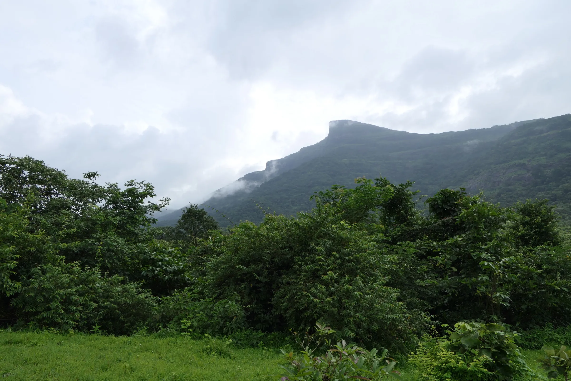
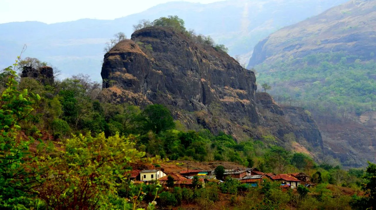
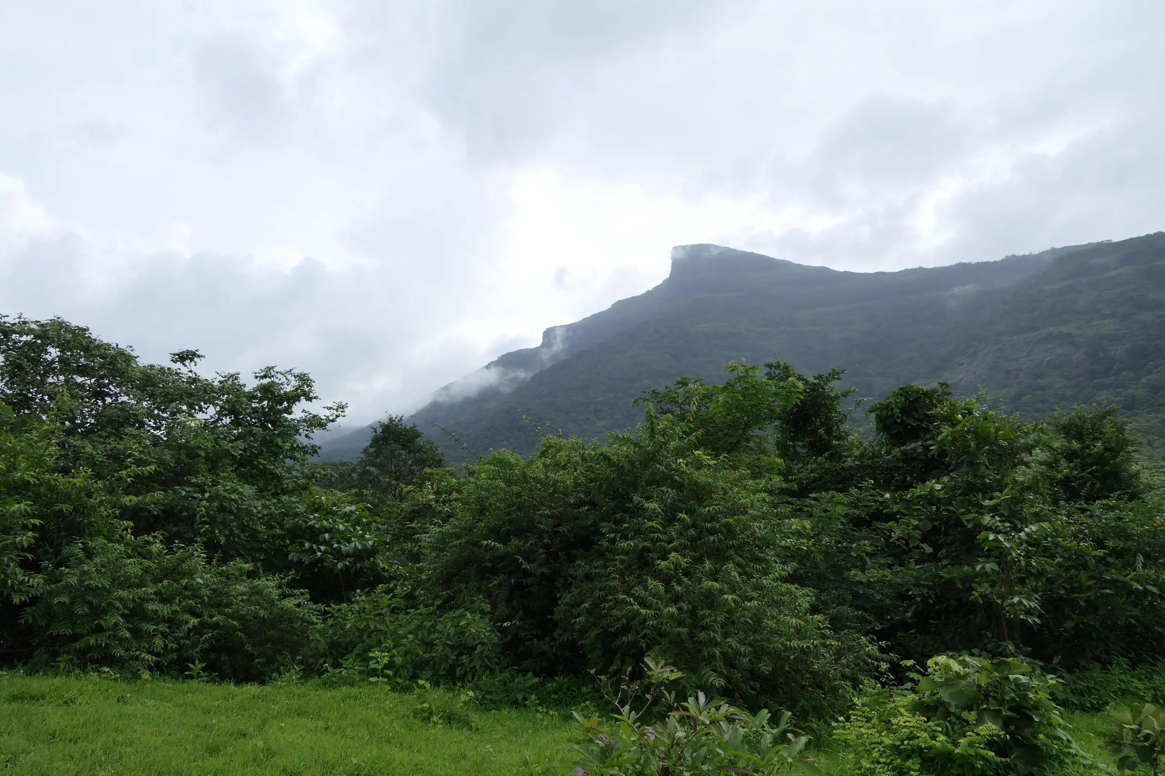
- The hooded rock of Nagphani ('cobra's hood'), whose cliff profile gave it the British name Duke's Nose, seen from the Mumbai-Pune Expressway
- A small Shiv mandir of Bhagwan Shiv at the top, with Nandi and a trishul outside
- 360-degree views over the Khandala ghat, the expressway and Khopoli
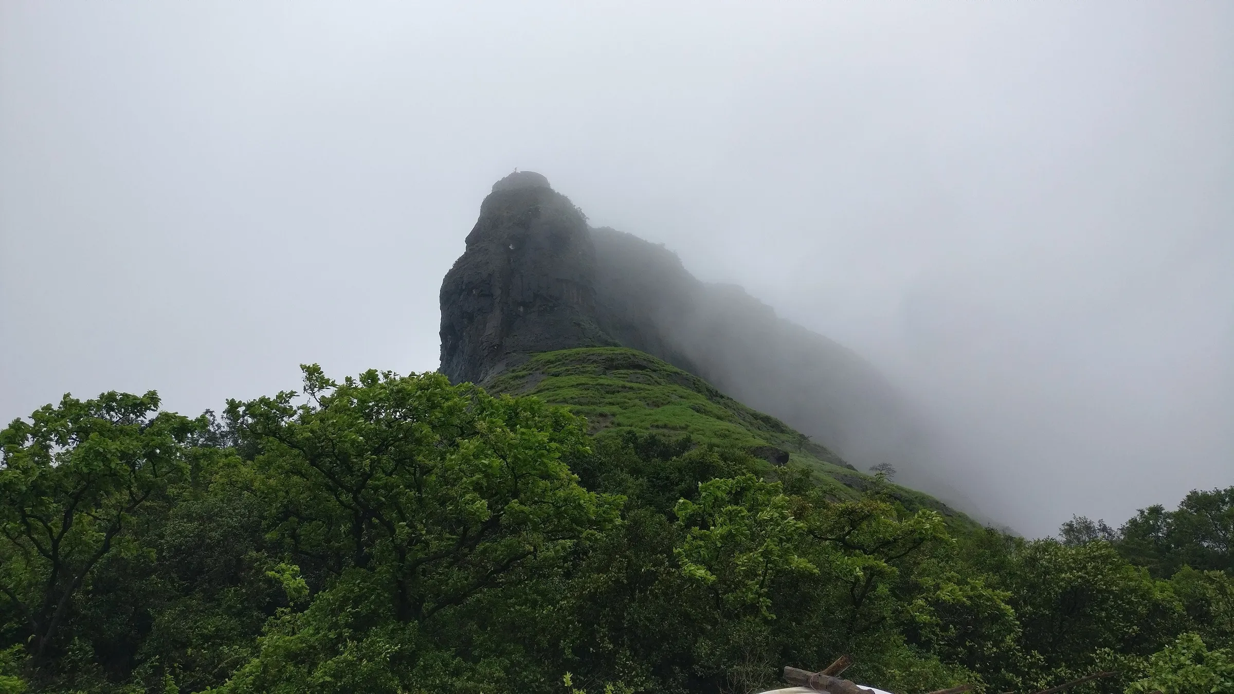
- Monsoon cloud racing up the cliff face, and waterfalls on the surrounding hills on clear days
- Winter sunsets over the Western Ghats from the summit
Risks
- The far side of the summit is a near-vertical cliff with a drop of hundreds of metres. The old safety railing around the top is in poor shape; do not cross it, and stay well back in monsoon fog, when the edge can vanish from view within a few metres.
- The last 750 m is a steep climb over large rocks with loose mud. It is slippery in the monsoon, and on the way down you will need to use your hands. Wear shoes with good grip.
- A restricted military zone (INS Shivaji) lies beside the trail on the left as you walk the flats; keep to the marked path.
- Summer (mid-March to May) is hot with very little tree cover; start at sunrise and be down before the sun is high.
- Monsoon prohibitory orders: on 6 July 2026 the Pune Collector imposed Section 163 BNSS orders at Lonavala Rural tourist spots (6 pm-6 am until 31 August, plus bans on selfies and reels at cliff edges), later revoked after rainfall eased. Duke's Nose was not named in the published list, but orders can return each monsoon; check before you go.
- Rappelling, rock climbing and valley crossing on the 90-degree cliff are done only with equipped operators; the pinnacle face is not part of the walking trek.
Know before you go
Questions
Are Nagphani and Duke's Nose the same trek?
Yes. Nagphani is the local name, meaning a cobra's hood, after the shape of the rock. The British called it Duke's Nose because the cliff profile was said to resemble the Duke of Wellington.
Where does the Duke's Nose trek start, and how long does it take?
The usual route starts at Kurvande village, 6-7 km from Lonavala station. Indiahikes gives about 2 km each way (4 km round trip): roughly 75 minutes up and an hour down. A longer, harder route climbs from Khandala and takes about 2 to 2.5 hours up.
Do I need a permit or entry ticket?
Indiahikes says no permission is needed for the walk. We could not find an official notice, so check locally, and keep out of the INS Shivaji military area beside the trail.
When is the best time to do the Nagphani trek?
July to September for monsoon fog, greenery and waterfalls (the rocks are slippery then), and November to February for clear skies and sunsets. Summer is hot and shadeless, so start at sunrise if you go then.
Is Duke's Nose safe for beginners or solo trekkers?
The trail is well marked, with white arrows on the rocks, and Indiahikes calls it safe to do alone. The real danger is the cliff edge at the top: stay inside the railing, especially in fog. There are no food stalls or water sources after Kurvande.
In an emergency
Save these numbers before you lose signal. Tap to call.
- 112All emergenciesIndia’s single emergency number — works in every state
- 108Ambulance
- 1077District disaster control room
You are in
District: PuneMaharashtra
- Nearest hospital
- Lonavala town (about 6-7 km) for first care; Pune or Navi Mumbai for serious cases
- Last ATM
- Lonavala town, about 6-7 km away
- Phone network
- Not confirmed by our sources; the trail is close to Lonavala and Khandala, so expect patchy mobile signal, but do not rely on it in monsoon fog.
Before you set off
- Tell someone your route and when you will be back.
- Carry a charged phone and a power bank.
- Download an offline map of the route.
- Turn back if the weather turns bad — the mountain will wait.
Questions about Nagphani
No questions yet. Ask something and trekkers who have done it can answer.
Share your trek photo with #TreksAndTrails
I trekked this
Did Nagphani look different from this page? Tell us what changed and we will check it.
Where this comes from
Sources
Last reviewed:
- Nagphani Trek — Indiahikes
- Dukes Nose Trek | Treks and Trails India — Treks and Trails India
- Trek to Duke's Nose — Foliage Outdoors
- Duke's Nose Trail — Explurger
- Duke's Nose: charming trekking spot near Mumbai — Onmanorama
- No Selfies, No Reels, No Swimming: Lonavala's New Monsoon Rules Explained — Punekar News
Photos: Dinesh Valke from Thane, India, CC BY-SA 2.0; Trusharm512, CC BY-SA 4.0; Ashish Gupta from Noida, India, CC BY 2.0