Skandagiri Trek
Chikkaballapur, Karnataka
Opens without signal on this phone, with the map file and checklist. Saved for offline →
- Max altitude
- 1,450 m
- Days
- 1 day
- Distance
- 5.6 km
- Difficulty
- Moderate
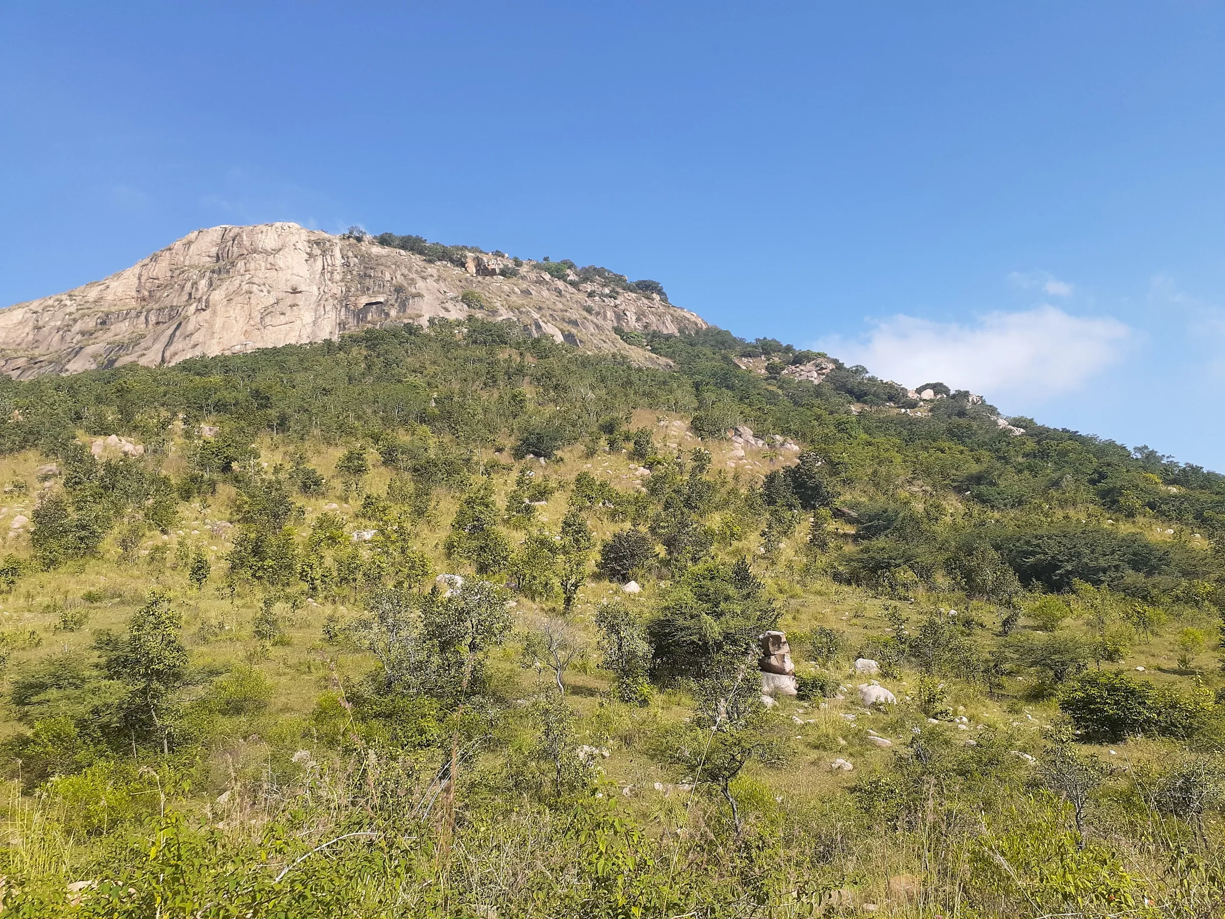
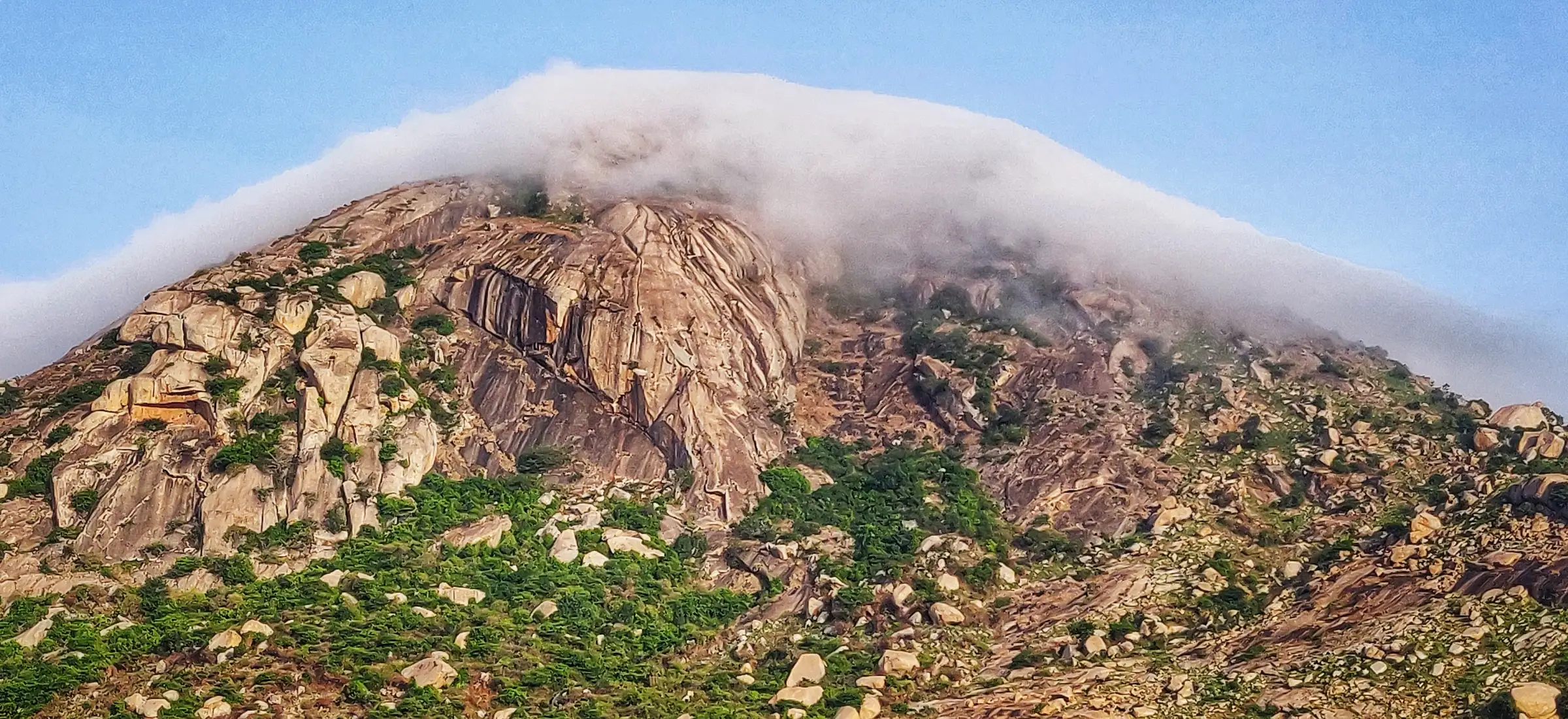
About 2.8 km each way with roughly 480 m of climb. The upper half crosses boulders, loose gravel and slippery mud, a narrow ledge with a sheer drop of about 100 ft on one side and a steep 50 ft rock face that needs hands; all of it gets treacherous when wet.
Photos
On the trail
The route
Day by day
Day 1 · highest point
Papagni Mutt, Kalavara → Papagni Mutt, Kalavara (via Skandagiri summit)
965 m → 1,450 m → 965 m
Ups and downs
Altitude profile
Where it is
Map
Trailhead and high point only — not a recorded track. Use it with a proper map.
Weather
Next 5 days on the trail
Live forecast for the trailhead and the high point. Mountain weather changes fast — check again on the morning you start.
Trailhead · Papagni Mutt (Papagni Temple), Kalavara
at 965 mLoading forecast…
High point · Skandagiri (Kalavara Betta) summit, Shiva temple and fort ruins
at 1,450 mLoading forecast…
Each day: high / low °C · rain mm and chance · snow cm · wind km/h
Weather data: Open-Meteo.comModel forecast, not an official warning. For alerts follow IMD and the local administration.
Plan the trip
How to reach
- Trailhead
- Papagni Mutt (Papagni Temple), Kalavara (nearest town: Chikkaballapur)
- Nearest railway
- Chikkaballapur (Chikballapur) railway station, with trains from Bengaluru; then an auto-rickshaw to Papagni Mutt
- Nearest airport
- Kempegowda International Airport, Bengaluru
- By road
- Bengaluru (about 60–70 km on Bellary Road / NH 44 towards Hyderabad, then to Chikkaballapur and Kalavara village); Chikkaballapur town (about 3–5 km; buses from Bengaluru Majestic run every few minutes, then an auto to Papagni Mutt)
- Drive
- About 2 h from Bengaluru
Plan the trip
Permits and fees
We could not confirm the current permit rules and fees from an official source. Check with the local forest department or tourism office before you go.
Plan the trip
Cost
Self-guided
₹500–1,200
With an operator
₹1,175–1,500
Per person, ex-Bengaluru, day trip. Guided prices seen October 2026: BMC Adventures ₹1,175 (non-AC transport, breakfast, lunch, guide and forest permission; departures on request) and Treks and Trails India ₹1,500 (non-AC transport, breakfast, first-aid kit). Self-guided is an estimate: KSRTC bus or train Bengaluru–Chikkaballapur and back, an auto to Papagni Mutt, food, and the Aranya Vihaara entry fee (the Karnataka Eco-Tourism page says ₹250, but we found no dated official fee notice).
Gear
Top picks for this trek
The gear that matters most on this route, chosen from its altitude, season and risks.
 Ad · affiliate link
 Ad · affiliate link
 Ad · affiliate link
 Ad · affiliate link
 Ad · affiliate link
 Ad · affiliate link
 Ad · affiliate link
- Ad · affiliate link
Store buttons open a search on that store, not a product we picked. As an Amazon Associate we earn from qualifying purchases. Photos show the kind of item, not a specific product. Affiliate disclosure
Packing checklist
Matched to this trek: altitude, season, days and the risks on the route.
Packed 0 of 18
Tick each item as it goes in the bag.
Know before you go
Good to know
- Mobile network
- Airtel, Vodafone Idea and Jio work on most of the trail, with a few weak spots.
- Last ATM
- Chikkaballapur town, about 5–6 km from the trailhead
- Nearest hospital
- Chikkaballapur (district headquarters, about 5 km) for first care; Bengaluru for serious cases
- Water
- Fill bottles at the water tank at Papagni Mutt; there is no other water and no food on the trail. Carry at least 2 litres.
Highlights
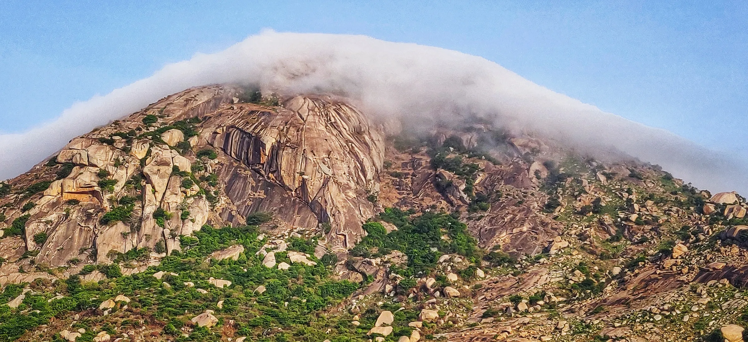
- Sunrise from the summit, often above a sea of clouds, with a close view of Nandi Hills
- Ruins of an 18th-century hill fort with several rings of walls, held by Tipu Sultan and surrendered to the British in 1791
- Old Shiva temple on the summit, still in worship by people from nearby villages
- One of the closest proper trail climbs to Bengaluru, reachable by bus or train to Chikkaballapur
Risks
- Narrow ledge with a sheer drop of about 100 ft and a steep 50 ft rock face near the top; both are slippery in rain. Avoid days of heavy rain.
- Little tree cover on the upper trail: heat and dehydration from March to May. Start early and carry a cap and extra water.
- Loose mud and gravel make the descent slippery, and waymarks are harder to spot on the way down.
- Entry only with an Aranya Vihaara booking and government photo ID at the forest checkpost; night treks and camping are not allowed.
Know before you go
Questions
Do I need to book the Skandagiri trek in advance?
Yes. Book on the Karnataka Forest Department's Aranya Vihaara website (aranyavihaara.karnataka.gov.in, Chikkaballapur district, 'Skandagiri Trek') at least a day ahead; bookings open up to 30 days ahead and slots sell out on weekends. Show the booking and a government photo ID at the forest checkpost. Check the portal for the current fee.
Is the Skandagiri night trek still allowed?
No. Night trekking and camping are not permitted. Booked treks start early in the morning, so sunrise groups leave Bengaluru around 2:30–3:00 AM to reach Papagni Mutt by about 5 AM.
How long is the Skandagiri trek and how long does it take?
About 2.8 km each way (5.6 km round trip) from Papagni Mutt, measured section by section: about 0.4–0.8 km of flat track to the forest checkpost, about 1.1–1.65 km to the rest point and about 0.9 km to the summit. Allow 4–5 hours including time at the top. Some sites quote 7–8 km, which includes the approach from Kalavara village or is a round figure.
Is Skandagiri good for beginners?
Yes, for reasonably fit beginners. The trail is well marked with arrows, and a guide is not needed in clear weather, but the last kilometre has boulders, a narrow ledge and a short steep rock face that need care, especially on the way down.
When is the best time to trek Skandagiri?
October to February, when mornings are cool and the views clearest; November to January gives the best chance of a sunrise above the clouds. March to May is hot with little shade, and the trail is closed for the monsoon (the 2026 portal blocked 16 May–31 Aug).
Is Skandagiri the same as Nandi Hills?
No. They are separate hills among the Panchagiri hills of Chikkaballapur district. Skandagiri sits just behind Nandi Hills, which is why the summit gives such a close view of it.
In an emergency
Save these numbers before you lose signal. Tap to call.
- 112All emergenciesIndia’s single emergency number — works in every state
- 108Ambulance
- 1077District disaster control room
You are in
District: ChikkaballapurKarnataka
- Nearest hospital
- Chikkaballapur (district headquarters, about 5 km) for first care; Bengaluru for serious cases
- Last ATM
- Chikkaballapur town, about 5–6 km from the trailhead
- Phone network
- Airtel, Vodafone Idea and Jio work on most of the trail, with a few weak spots.
Before you set off
- Tell someone your route and when you will be back.
- Carry a charged phone and a power bank.
- Download an offline map of the route.
- Turn back if the weather turns bad — the mountain will wait.
Questions about Skandagiri
No questions yet. Ask something and trekkers who have done it can answer.
Share your trek photo with #TreksAndTrails
I trekked this
Did Skandagiri look different from this page? Tell us what changed and we will check it.
Where this comes from
Sources
Last reviewed:
- Aranya Vihaara – Skandagiri Trek (Chikkaballapur, trek id 80) — Karnataka Forest Department (official)
- Skandagiri trek — Karnataka Eco-Tourism Development Board (official)
- Skandagiri Trek — Karnataka Tourism (official)
- The Complete Guide to Skandagiri Trek — Indiahikes
- Skandagiri — Wikipedia
- Kalawara Betta / Skandagiri (peak, ele 1450) — OpenStreetMap
- Skandagiri hiking route (operator Karnataka Forest Department, distance 6) — OpenStreetMap
- Skandagiri Trek from Bangalore — Treks and Trails India
- One Day Trek to Skandagiri — BMC Adventures
- A DIY Guide to Skandagiri Trek — Bikat Adventures
Photos: Aranyaparva, CC BY-SA 4.0; Prasath P, CC BY-SA 4.0; Vijets at English Wikipedia, Public domain