Silver Fall Trek
Narmadapuram (Hoshangabad), Madhya Pradesh
Opens without signal on this phone, with the map file and checklist. Saved for offline →
- Max altitude
- 980 m
- Days
- 1 day
- Distance
- 3 km
- Difficulty
- Easy
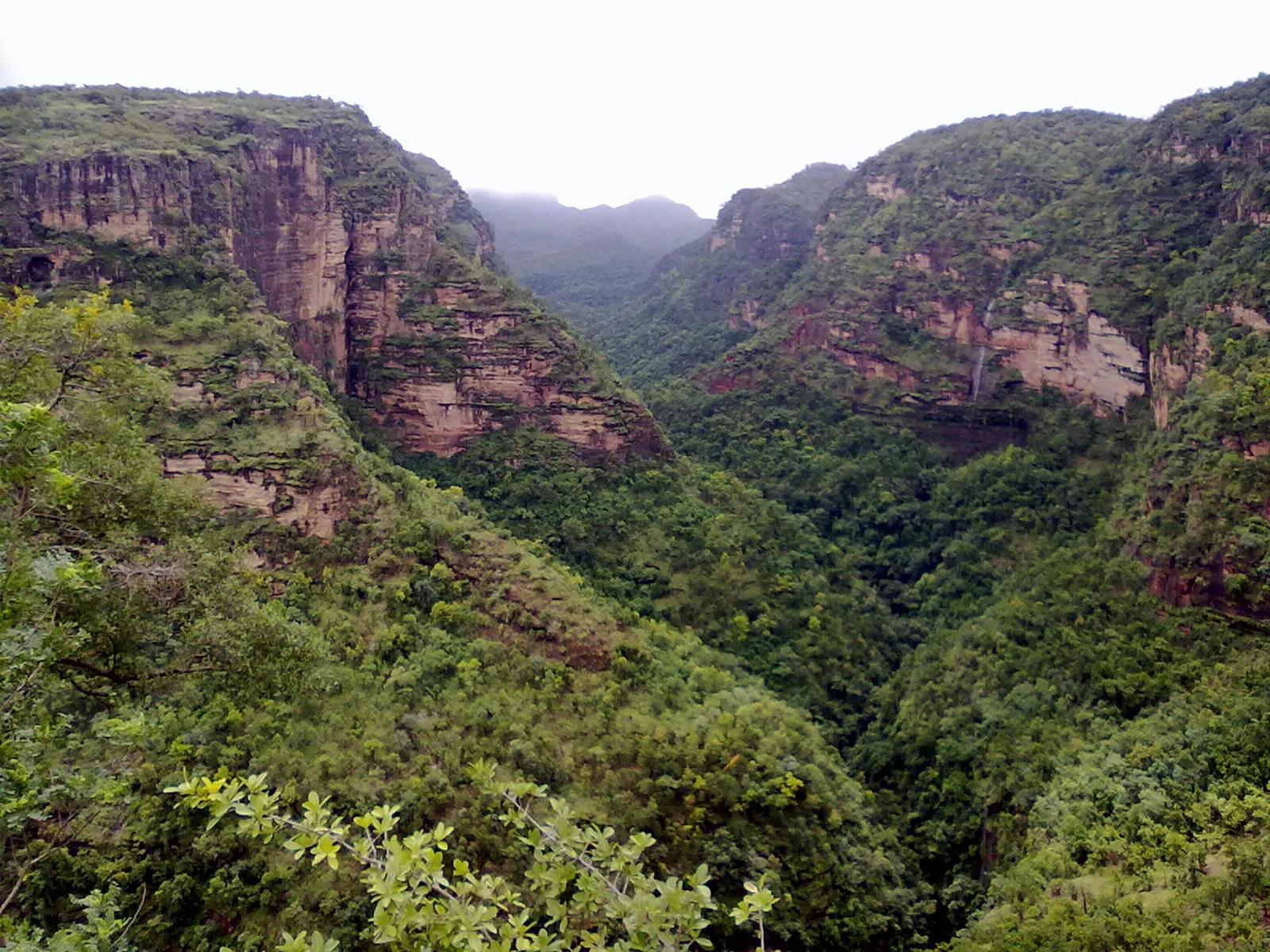
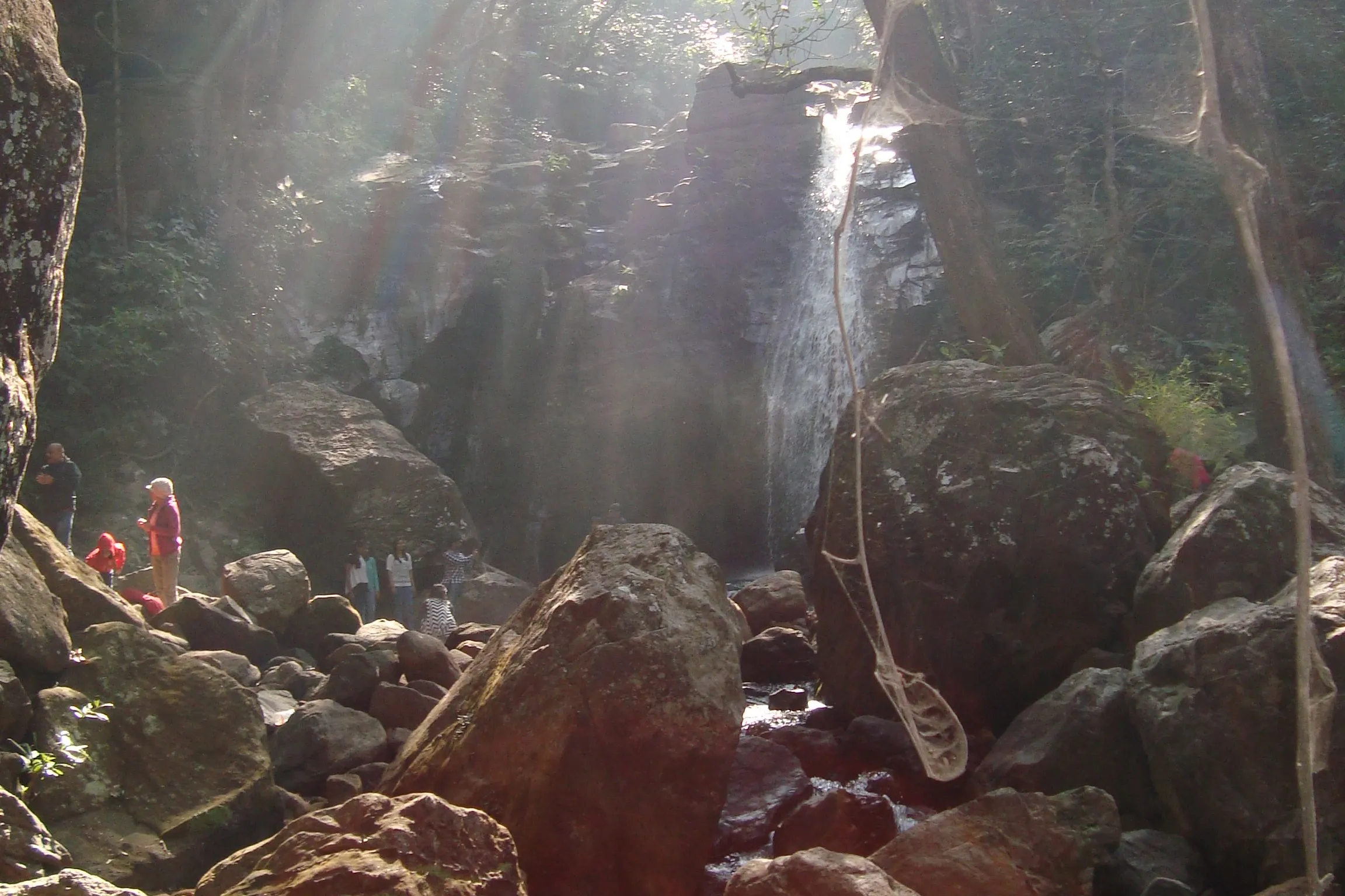
Only about 3 km there and back from Apsara Vihar, but the path crosses rocks and boulders through forest, with a short uphill climb to the viewpoint and slippery sections in the monsoon.
Photos
On the trail
The route
Day by day
Day 1 · highest point
Apsara Vihar → Apsara Vihar (via Rajat Prapat viewpoint)
975 m → 980 m → 975 m
Ups and downs
Altitude profile
Where it is
Map
Trailhead and high point only — not a recorded track. Use it with a proper map.
Weather
Next 5 days on the trail
Live forecast for the trailhead and the high point. Mountain weather changes fast — check again on the morning you start.
Trailhead · Apsara Vihar
at 975 mLoading forecast…
High point · Rajat Prapat (Silver Fall) viewpoint
at 980 mLoading forecast…
Each day: high / low °C · rain mm and chance · snow cm · wind km/h
Weather data: Open-Meteo.comModel forecast, not an official warning. For alerts follow IMD and the local administration.
Plan the trip
How to reach
- Trailhead
- Apsara Vihar (nearest town: Pachmarhi)
- Nearest railway
- Pipariya (about 50 km, roughly 2 hours by road to Pachmarhi)
- Nearest airport
- Raja Bhoj Airport, Bhopal
- By road
- Bhopal (about 200 km to Pachmarhi); Pipariya railway station (about 50 km to Pachmarhi); Pachmarhi bus stand to Apsara Vihar (about 3 km by gypsy, past Pandav Caves)
- Drive
- About 4.5 h from Bhopal
Plan the trip
Permits and fees
We could not confirm the current permit rules and fees from an official source. Check with the local forest department or tourism office before you go.
Plan the trip
Cost
Self-guided
₹300–1,500
With an operator
₹500–2,500
Per person, ex-Pachmarhi. No trek operator publishes a current price for this walk; it is usually done as part of a Pachmarhi sightseeing day with a hired gypsy, and local guides offer their services at the forest entry. Both ranges are estimates: self-guided = a share of a gypsy for the Pandav Caves/Apsara Vihar circuit plus forest entry charges; guided = the same plus a local guide's fee. Confirm current charges at the forest office in Pachmarhi.
Gear
Top picks for this trek
The gear that matters most on this route, chosen from its altitude, season and risks.
 Ad · affiliate link
 Ad · affiliate link
 Ad · affiliate link
 Ad · affiliate link
- Ad · affiliate link
 Ad · affiliate link
 Ad · affiliate link
 Ad · affiliate link
Store buttons open a search on that store, not a product we picked. As an Amazon Associate we earn from qualifying purchases. Photos show the kind of item, not a specific product. Affiliate disclosure
Packing checklist
Matched to this trek: altitude, season, days and the risks on the route.
Packed 0 of 21
Monsoon months (Jul–Sep): pack everything in plastic or a dry bag and wear shoes with good grip.
Tick each item as it goes in the bag.
Know before you go
Good to know
- Mobile network
- Not confirmed for the trail; expect signal in Pachmarhi town and patchy coverage in the forest below Apsara Vihar.
- Last ATM
- Pachmarhi; carry cash for the gypsy, guide and forest entry
- Nearest hospital
- Pachmarhi for first care; Pipariya or Narmadapuram for serious cases (confirm locally)
- Water
- No facilities at the fall; carry drinking water and snacks from Pachmarhi. Do not drink untreated stream water.
Highlights
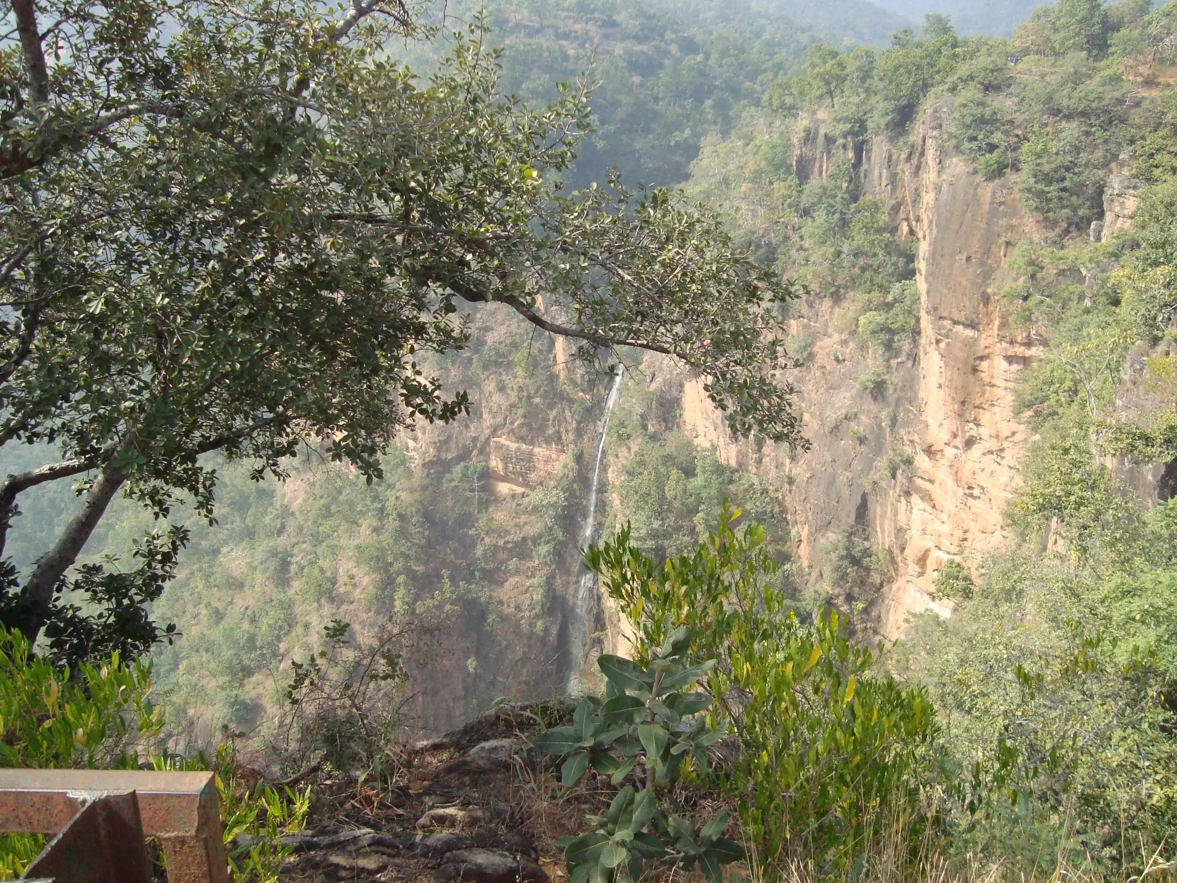
- Rajat Prapat, a single 107 m (about 350 ft) horsetail drop that shines like a silver strip against the rock
- Short forest walk over rocks and boulders from the Apsara Vihar pool, easy to combine with Pandav Caves
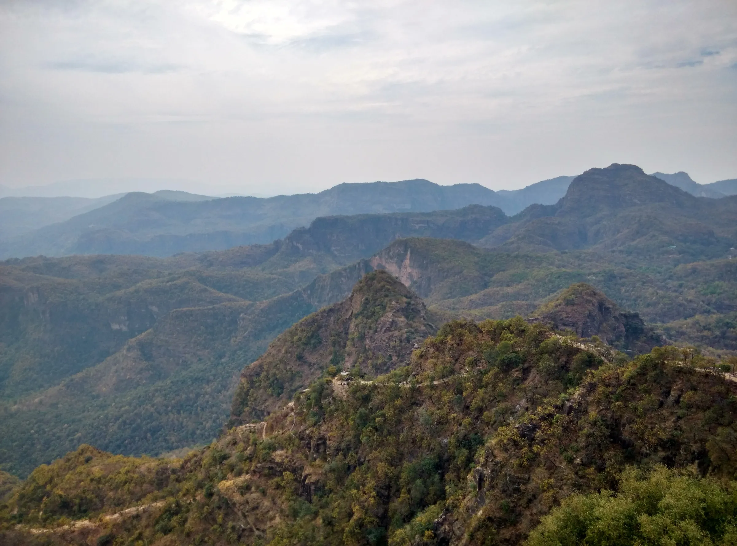
- Views of the deep forested gorges of the Satpura range around Pachmarhi
- Fullest water from July to November, right after the monsoon
Risks
- Rocky, uneven path over boulders that turns slippery in monsoon rain; heavy rain can bring landslides that block the route.
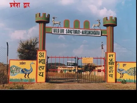
- The trail runs through jungle inside the Satpura Tiger Reserve area; go in daylight and consider a local guide.
- No food, water or toilets at the fall; carry your own.
- From March to May the fall carries little water and the walk is hot.
- Pachmarhi forest sites keep fixed opening hours (sunrise to sunset); the reserve closes Wednesday afternoons and on Holi and Diwali.
Know before you go
Questions
How long is the walk to Silver Fall?
About 3 km there and back from Apsara Vihar, which is roughly 3 km from Pachmarhi bus stand by road past Pandav Caves. MP Tourism describes it as a 10-minute adventurous trail beyond Apsara Vihar; allow 1.5-2 hours with time at both pools and the viewpoint.
What is the best time to see Silver Fall?
July to November, when the fall has the most water. Winter is pleasant for walking. March to May is hot and the fall runs low, and peak monsoon days can make the path slippery.
Do I need a permit or ticket for Silver Fall?
The fall is on forest land in the Pachmarhi zone of Satpura Tiger Reserve, so forest entry rules apply and sites keep fixed opening hours. We could not confirm a current official fee, so check at the forest office in Pachmarhi before you go.
Are there facilities at Silver Fall?
No. There are no food stalls, water points or toilets at the fall, so carry water and snacks, and wear comfortable shoes with good grip for the rocky path.
How high is Silver Fall?
Rajat Prapat drops about 107 m (351 ft) in a single horsetail-shaped fall.
In an emergency
Save these numbers before you lose signal. Tap to call.
- 112All emergenciesIndia’s single emergency number — works in every state
- 108Ambulance
- 1077District disaster control room
You are in
District: Narmadapuram (Hoshangabad)Madhya Pradesh
- Nearest hospital
- Pachmarhi for first care; Pipariya or Narmadapuram for serious cases (confirm locally)
- Last ATM
- Pachmarhi; carry cash for the gypsy, guide and forest entry
- Phone network
- Not confirmed for the trail; expect signal in Pachmarhi town and patchy coverage in the forest below Apsara Vihar.
Before you set off
- Tell someone your route and when you will be back.
- Carry a charged phone and a power bank.
- Download an offline map of the route.
- Turn back if the weather turns bad — the mountain will wait.
Questions about Silver Fall
No questions yet. Ask something and trekkers who have done it can answer.
Share your trek photo with #TreksAndTrails
I trekked this
Did Silver Fall look different from this page? Tell us what changed and we will check it.
Where this comes from
Sources
Last reviewed:
- Pachmarhi - Madhya Pradesh Tourism — Madhya Pradesh Tourism (official)
- Satpura Tiger Reserve - FAQ — Madhya Pradesh Forest Department (MPOnline) (official)
- Rajat Prapat — Wikipedia
- Rajat Prapat (Silver Fall/Big Fall) — Thrillophilia
- Silver Fall, Pachmarhi — Wanderlog
- Discover The Majesty Of Rajat Prapat In Pachmarhi In 2026 — TravelTriangle
- Silver Fall, Pachmarhi, Madhya Pradesh, India — Chal Banjare
- Pachmarhi - In Heaven's Abode (Trek 1) — Ghumakkar
- Incredible Madhya Pradesh - IV (Trip to Pachmarhi) — Tripoto
Photos: Pateljay2603, CC BY-SA 4.0; Anukruti Nigam, CC BY-SA 4.0