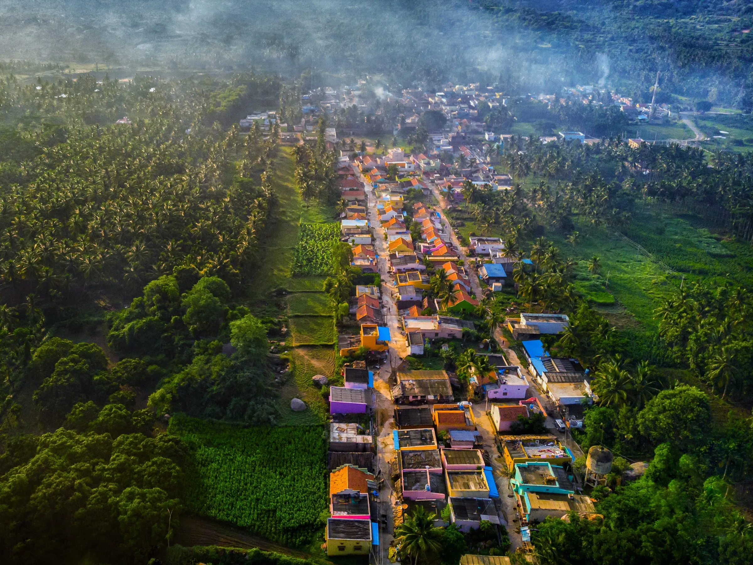
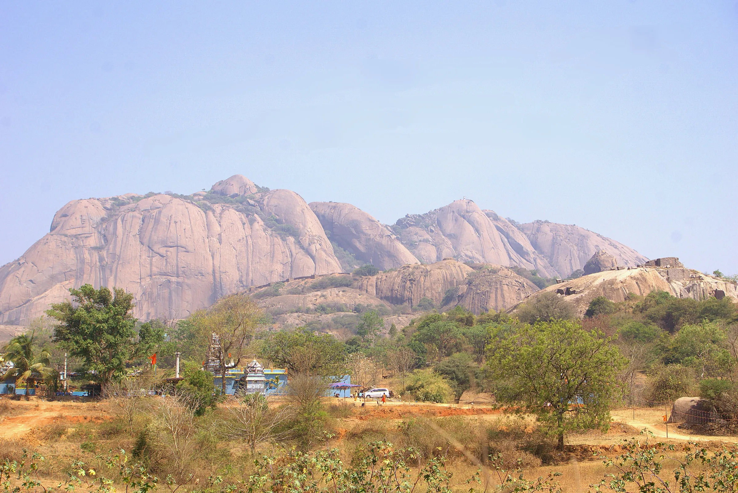
Siddalingeshwara Betta Trek
Ramanagara, renamed Bengaluru South (Ramanagara taluk), Karnataka
Opens without signal on this phone, with the map file and checklist. Saved for offline →
 905 mhighest point
- Max altitude
- 905 m
- Days
- 1 day
- Distance
- 4 km
- Difficulty
- Easy
A short half-day walk: about half a kilometre through mango farms to a small hillside temple, about a kilometre more to the base of the hill, then a gradual climb of about 20 minutes that is tricky in a few spots. The direct descent to the temple is steep and not recommended.
The route
Day by day
Day 1 · highest point
Gungarahalli junction (concrete brick factory) → Gungarahalli junction (via the hillside temple and Siddalingeshwara Betta top)
750 m → 905 m → 750 m
Ups and downs
Altitude profile
Where it is
Map
Trailhead and high point only — not a recorded track. Use it with a proper map.
Weather
Next 5 days on the trail
Live forecast for the trailhead and the high point. Mountain weather changes fast — check again on the morning you start.
Trailhead · Concrete brick factory at Gungarahalli junction, Ramanagara–Magadi road
at 750 mLoading forecast…
High point · Siddalingeshwara Betta top (near Lakshmipura)
at 905 mLoading forecast…
Each day: high / low °C · rain mm and chance · snow cm · wind km/h
Weather data: Open-Meteo.comModel forecast, not an official warning. For alerts follow IMD and the local administration.
Plan the trip
How to reach
- Trailhead
- Concrete brick factory at Gungarahalli junction, Ramanagara–Magadi road
- Nearest railway
- Ramanagaram Junction (Bengaluru–Mysuru line), then a Magadi bus from Ramanagara main bus stand to Gungarahalli
- Nearest airport
- Kempegowda International Airport, Bengaluru (about 90 km)
- By road
- Bengaluru via the Bengaluru–Mysuru highway and Ramanagara town, turning right towards Magadi at the main bus stand signal (about 58 km); Bengaluru via Sunkadakatte, Manchanabele Dam and Savandurga (about 54 km); Ramanagara bus stand: a bus towards Magadi to Gungarahalli junction takes about 30 minutes
- Drive
- About 1.5 h from Bengaluru
Plan the trip
Permits and fees
We could not confirm the current permit rules and fees from an official source. Check with the local forest department or tourism office before you go.
Plan the trip
Cost
Self-guided
₹200–700
With an operator
₹1,300–1,500
Per person, ex-Bengaluru, day trip. No operator sells a fixed Siddalingeshwara Betta departure, so both ranges are estimates. Guided: what Bengaluru operators charged in October 2026 for the nearby Savandurga day trek (about ₹1,300–1,400, transport and meals included); a custom trip here would cost about the same. Self-guided: KSRTC bus or train Bengaluru to Ramanagara and a Magadi bus to Gungarahalli and back, plus food; no entry fee is known.
Gear
Top picks for this trek
The gear that matters most on this route, chosen from its altitude, season and risks.
 Ad · affiliate link
 Ad · affiliate link
 Ad · affiliate link
 Ad · affiliate link
 Ad · affiliate link
 Ad · affiliate link
 Ad · affiliate link
- Ad · affiliate link
Store buttons open a search on that store, not a product we picked. As an Amazon Associate we earn from qualifying purchases. Photos show the kind of item, not a specific product. Affiliate disclosure
Packing checklist
Matched to this trek: altitude, season, days and the risks on the route.
Packed 0 of 18
Tick each item as it goes in the bag.
Know before you go
Good to know
- Mobile network
- Not confirmed; the trail is close to the Ramanagara–Magadi road and villages, so major networks are likely to work.
- Last ATM
- Ramanagara town (about 16 km)
- Nearest hospital
- Ramanagara town (district hospital); Bengaluru for serious cases
- Water
- None reported on the trail; carry all the water you need from Ramanagara.
Highlights
- Walk in through mango orchards below the hill
- A small white temple that seems to hang from the hillside, reached by a short rough climb
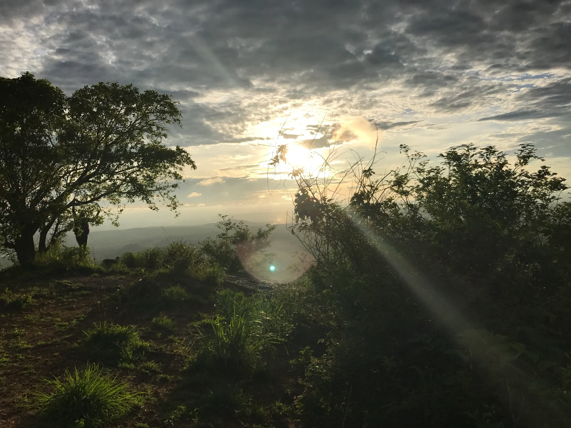
- Wide views over the Ramanagara countryside from the top
- Easy to reach by public transport from Bengaluru, combined with Savandurga about 13 km away
Risks
- Indiahikes warns that about 100 m from the base of the hill locals have laid barbed-wire traps for wild animals; watch your step, as trekkers can trip and fall.
- The direct way down from the top to the temple is very steep and tricky; go back the way you came up, especially if alone.
- The path to the temple is rugged (steps were still being laid when Indiahikes documented it).
- Granite slabs are slippery in rain; the Ramanagara hills also have little shade, so avoid midday heat from March to May.
- Leopards live in the Ramanagara hills. On 11 May 2026 Karnataka's Chief Wildlife Warden suspended all trekking paths in areas with leopards, tigers, elephants or bears until each route is certified; this hill is not on the Aranya Vihaara portal, and we could not confirm whether it is forest land, so ask locally before you go.
Know before you go
Questions
Where does the Siddalingeshwara Betta trek start?
At a small concrete brick factory about 100 m from Gungarahalli junction on the Ramanagara–Magadi road. A trail opposite the factory leads into mango farms with the hill on your right.
How long is the trek?
It is a very short day hike. Indiahikes describes about half a kilometre to the temple, about a kilometre more to the base of the hill and a 20-minute climb to the top, returning the same way, so allow two to three hours.
How do I reach Siddalingeshwara Betta by public transport?
Take a KSRTC bus towards Mysuru from Bengaluru's Satellite Bus Stand, or a train to Ramanagaram Junction (about an hour). From Ramanagara main bus stand take a bus towards Magadi and get down at Gungarahalli junction (about 30 minutes).
Can I visit the temple on the hill?
Yes. A short side climb leads to the small white temple on the hillside. Indiahikes notes the path is rugged while steps are being laid.
In an emergency
Save these numbers before you lose signal. Tap to call.
- 112All emergenciesIndia’s single emergency number — works in every state
- 108Ambulance
- 1077District disaster control room
You are in
District: Ramanagara, renamed Bengaluru South (Ramanagara taluk)Karnataka
- Nearest hospital
- Ramanagara town (district hospital); Bengaluru for serious cases
- Last ATM
- Ramanagara town (about 16 km)
- Phone network
- Not confirmed; the trail is close to the Ramanagara–Magadi road and villages, so major networks are likely to work.
Before you set off
- Tell someone your route and when you will be back.
- Carry a charged phone and a power bank.
- Download an offline map of the route.
- Turn back if the weather turns bad — the mountain will wait.
Questions about Siddalingeshwara Betta
No questions yet. Ask something and trekkers who have done it can answer.
Share your trek photo with #TreksAndTrails
I trekked this
Did Siddalingeshwara Betta look different from this page? Tell us what changed and we will check it.
Where this comes from
Sources
Last reviewed:
- Siddalingeshwara Betta Trek — Indiahikes
- Siddalingeshwara Betta Trek — TrekUp India
Photos: KshitizBathwal, CC BY-SA 4.0