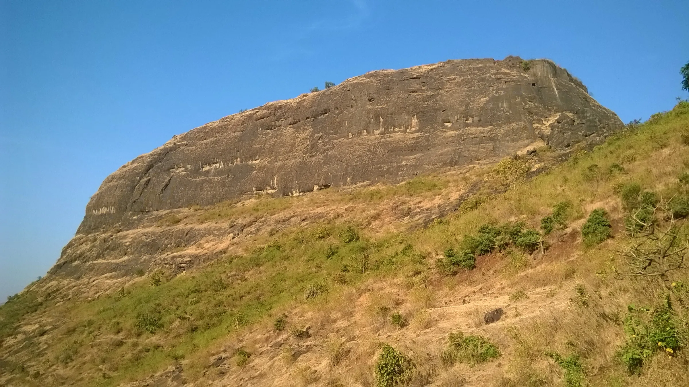
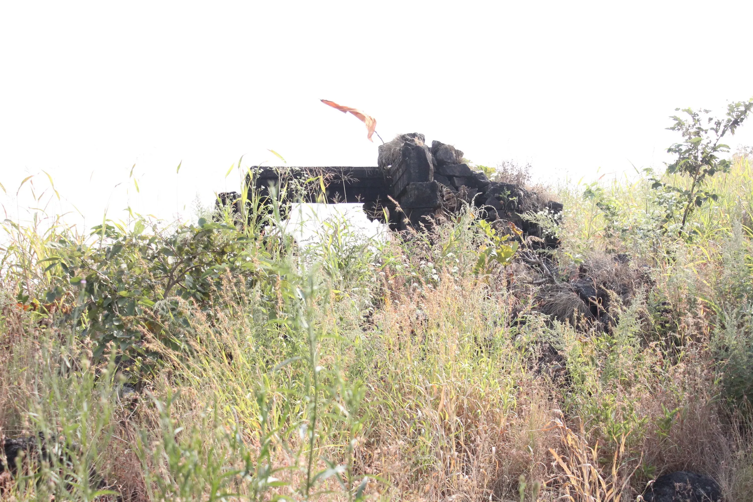
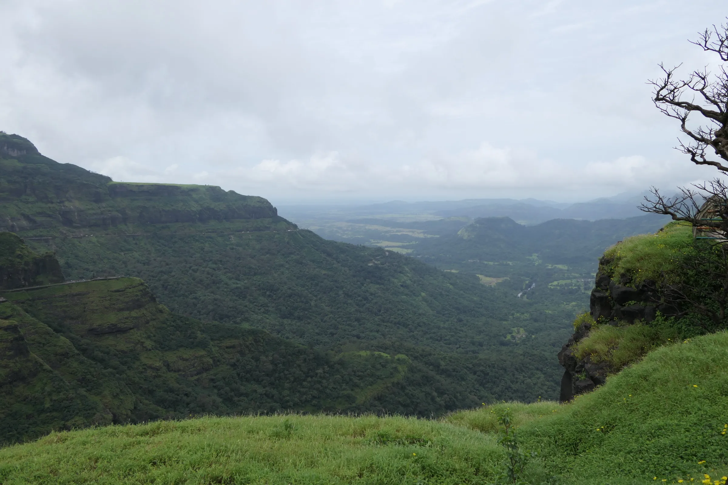
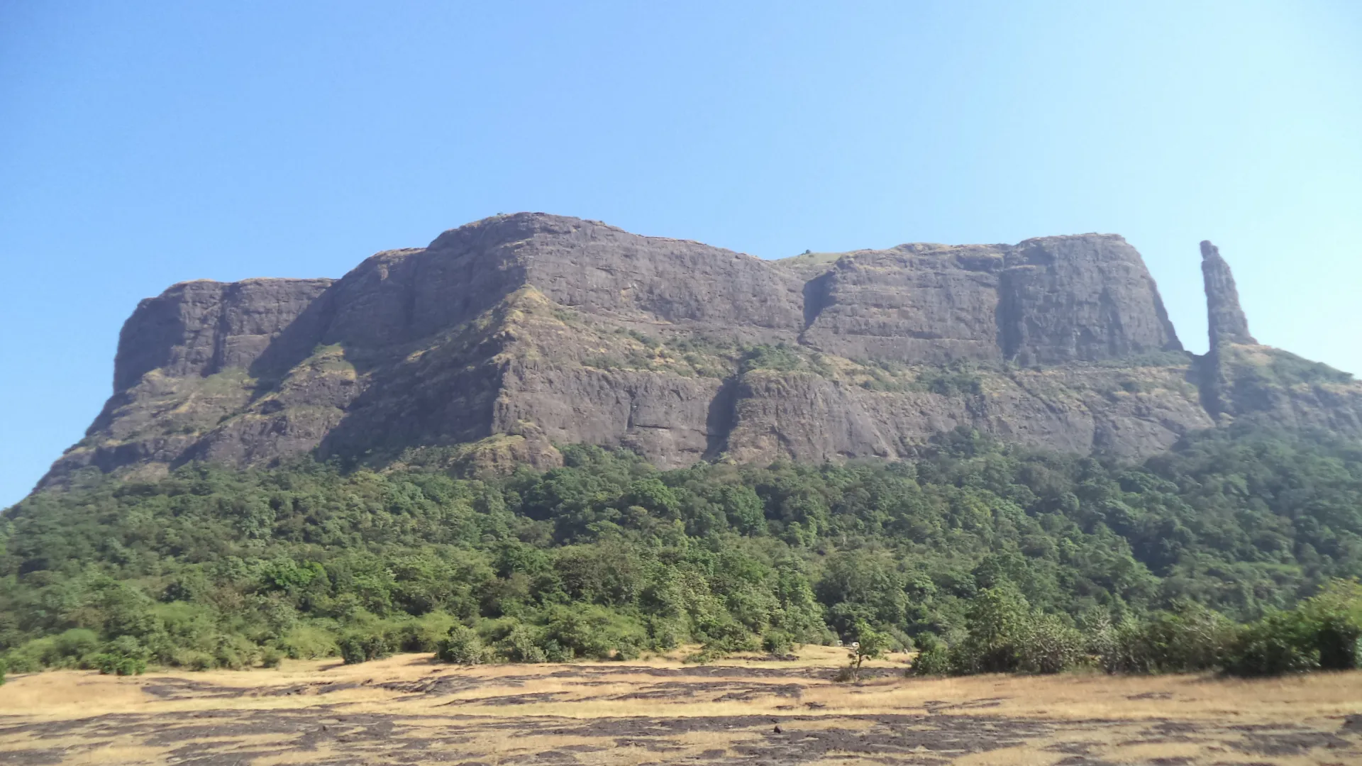
Shivneri Trek
Pune, Maharashtra
Opens without signal on this phone, with the map file and checklist. Saved for offline →
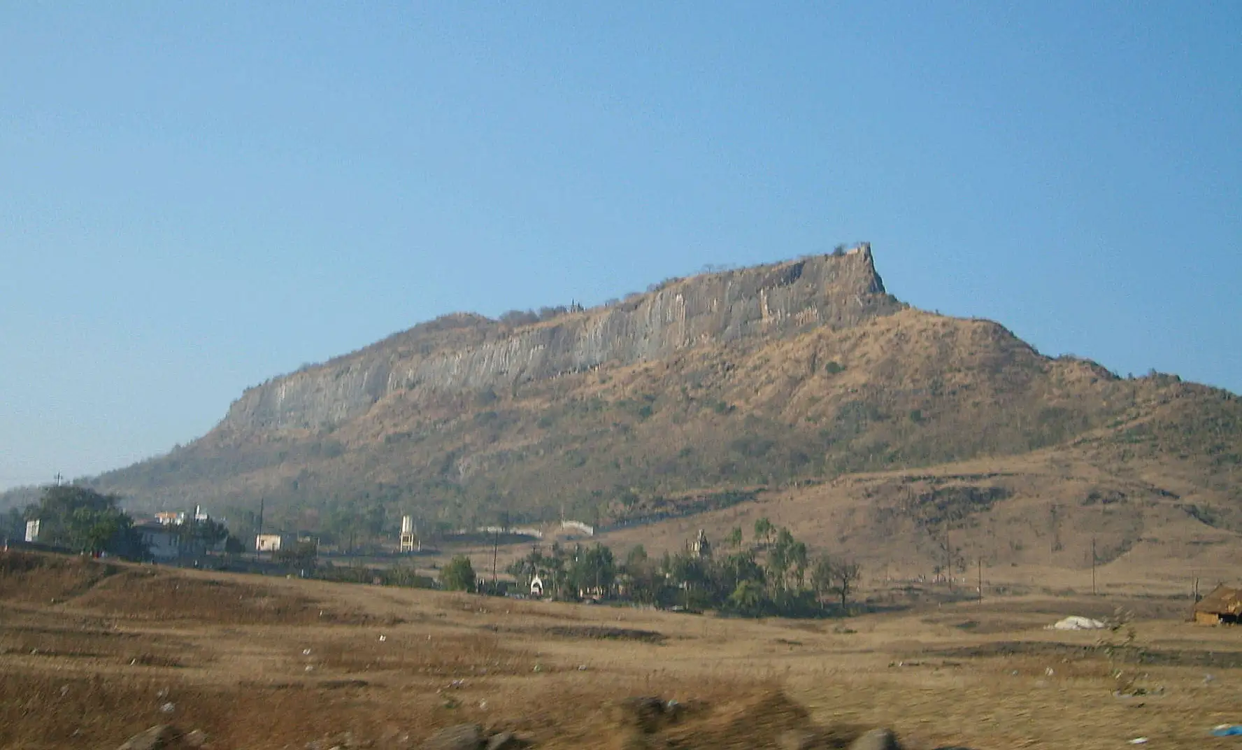
- Max altitude
- 1,018 m
- Days
- 1 day
- Distance
- 6 km
- Difficulty
- Easy
The main route is a built stepped path through seven gates, rated very easy by trek guides and about 1.5 hours up from Junnar. The optional chain route (Sakhali chi vaat) on the scarp has narrow rock-cut steps and wire handholds and is only for experienced trekkers.
Photos
On the trail
The route
Day by day
Day 1 · highest point
Shivneri foot, Junnar → Shivneri foot, Junnar
730 m → 1,018 m → 730 m
Ups and downs
Altitude profile
Where it is
Map
Trailhead and high point only — not a recorded track. Use it with a proper map.
Weather
Next 5 days on the trail
Live forecast for the trailhead and the high point. Mountain weather changes fast — check again on the morning you start.
Trailhead · Shivneri foot, Junnar (start of the seven-gate stepped path)
at 730 mLoading forecast…
High point · Shivneri Fort top (Kala Chauthara hillock and Idgah, the highest point of the fort)
at 1,018 mLoading forecast…
Each day: high / low °C · rain mm and chance · snow cm · wind km/h
Weather data: Open-Meteo.comModel forecast, not an official warning. For alerts follow IMD and the local administration.
Plan the trip
How to reach
- Trailhead
- Shivneri foot, Junnar (start of the seven-gate stepped path)
- Nearest railway
- Pune Junction (about 94 km)
- Nearest airport
- Pune International Airport (Lohegaon), about 94 km
- By road
- Pune to Junnar (about 90–100 km via Narayangaon; MSRTC buses run to Junnar); Mumbai to Junnar via Malshej Ghat (about 150–155 km); Junnar bus stand to the foot of the fort (2–3 km; rickshaw or on foot)
- Drive
- About 2.5 h from Pune
Plan the trip
Permits and fees
We could not confirm the current permit rules and fees from an official source. Check with the local forest department or tourism office before you go.
Plan the trip
Cost
Self-guided
₹400–900
With an operator
₹1,000–1,050
Per person. Guided: Foliage Outdoors lists a one-day Shivneri trip at Rs 1,000 plus GST, ending in Pune; no second operator price was found. Self-guided estimate, ex-Pune: return MSRTC bus to Junnar, a rickshaw from Junnar bus stand to the foot (Lonely Planet quotes about Rs 300 return with waiting) and a meal in Junnar. Shivneri is an ASI-protected monument; travel sites disagree on whether an entry ticket is charged, so check at the gate.
Gear
Top picks for this trek
The gear that matters most on this route, chosen from its altitude, season and risks.
 Ad · affiliate link
 Ad · affiliate link
 Ad · affiliate link
 Ad · affiliate link
 Ad · affiliate link
 Ad · affiliate link
- Ad · affiliate link
 Ad · affiliate link
Store buttons open a search on that store, not a product we picked. As an Amazon Associate we earn from qualifying purchases. Photos show the kind of item, not a specific product. Affiliate disclosure
Packing checklist
Matched to this trek: altitude, season, days and the risks on the route.
Packed 0 of 17
Tick each item as it goes in the bag.
Know before you go
Good to know
- Mobile network
- Good; the fort stands right above Junnar town
- Last ATM
- Junnar
- Nearest hospital
- Junnar (rural hospital), about 3 km
- Water
- The Ganga and Jamuna rock-cut tanks on the fort hold potable water all year; no food is sold on the fort, so carry snacks or eat in Junnar.
Highlights
- Birthplace of Chhatrapati Shivaji Maharaj (19 February 1630): the two-storey Shivjanmasthan with a cradle and a bust of Shivaji Maharaj
- A component of the UNESCO World Heritage property Maratha Military Landscapes of India (inscribed 2025), protected by the ASI
- Seven gates in succession on the stepped path: Mahadarwaja, Ganesh (Paravangi) Darwaja with carved Sharabh figures, Peer Darwaja, Hathi Darwaja, Sipai Darwaja with its original spiked wooden door, Phatak (Mena) Darwaja and Kulabkar Darwaja
- The rock-cut Shivai Devi mandir, where Shivai Devi is worshipped; Maratha tradition records that Shivaji Maharaj was named after the Devi
- Badami Talav, the Ganga-Jamuna springs and a statue of Rajmata Jijabai with the young Shivaji Maharaj at Shivkunj
- Views from the Kadelot point and the top of Jivdhan, Naneghat, Chavand, Hadsar, Narayangad and the Vadaj reservoir
Risks
- The chain route (Sakhali chi vaat) climbs narrow rock-cut steps on a cliff with fixed wires; one account describes a rock patch of about 15 feet. Do it only with an experienced leader and never in rain.
- Stone steps and paved paths become slippery in monsoon (June–September), as the state tourism department warns.
- The Kadelot point is a sheer cliff with a long drop; keep well back from the edge.
- March–May is hot; start early or late in the day and carry water.
- On Shiv Jayanti (19 February) and on weekends the fort is very crowded.
Know before you go
Questions
How long does the Shivneri Fort climb take?
By the main stepped path through the seven gates, about 1.5 hours up from Junnar; by the chain route about 45 minutes. A full look around the fort takes several hours, so plan most of a day.
Is the Shivneri trek difficult?
No. The main route is a built stairway, rated very easy and done by families and school groups. Only the chain route on the cliff needs care and some climbing experience.
How do I reach Shivneri Fort from Pune?
Junnar is about 90–100 km north of Pune. Take an MSRTC bus or drive to Junnar, then a rickshaw or a 2–3 km walk to the foot of the fort.
What is the best time to visit Shivneri?
The state tourism department names October to February as the best season. The monsoon is green but the paths are slippery, and in summer you should go early in the morning or late in the afternoon. Shiv Jayanti on 19 February brings big celebrations.
Is there water and food on the fort?
The Ganga and Jamuna tanks hold potable water all year, but no food is sold on the fort. Carry snacks or eat in Junnar.
Is Shivneri a UNESCO World Heritage Site?
Yes. Shivneri is one of the twelve forts of the Maratha Military Landscapes of India, inscribed on the World Heritage List in 2025, and is protected by the Archaeological Survey of India.
In an emergency
Save these numbers before you lose signal. Tap to call.
- 112All emergenciesIndia’s single emergency number — works in every state
- 108Ambulance
- 1077District disaster control room
You are in
District: PuneMaharashtra
- Nearest hospital
- Junnar (rural hospital), about 3 km
- Last ATM
- Junnar
- Phone network
- Good; the fort stands right above Junnar town
Before you set off
- Tell someone your route and when you will be back.
- Carry a charged phone and a power bank.
- Download an offline map of the route.
- Turn back if the weather turns bad — the mountain will wait.
Questions about Shivneri
No questions yet. Ask something and trekkers who have done it can answer.
Share your trek photo with #TreksAndTrails
I trekked this
Did Shivneri look different from this page? Tell us what changed and we will check it.
Where this comes from
Sources
Last reviewed:
- Shivneri - Department of Tourism Maharashtra (last reviewed 24 June 2026) — Department of Tourism, Government of Maharashtra (official)
- Maratha Military Landscapes of India — UNESCO World Heritage Centre (official)
- Shivneri — Durgbharari
- Shivneri (Marathi Wikipedia, infobox height 3,500 ft) — Marathi Wikipedia
- Shivneri Fort — Wikipedia
- Shivneri (Trekforts trek notes) — Trekforts (oocities archive)
- Fort Shivneri and Tulja Caves — Foliage Outdoors
- Shivneri and GMRT day trip — Take Me Buddy
- Shivneri Fort — Holidify
Photos: Milind.dumbare at English Wikipedia, Public domain; Rahul Bagal, CC BY-SA 3.0; Rahul Bagal, CC BY-SA 3.0; Nandini Jaybhaye, CC BY-SA 4.0