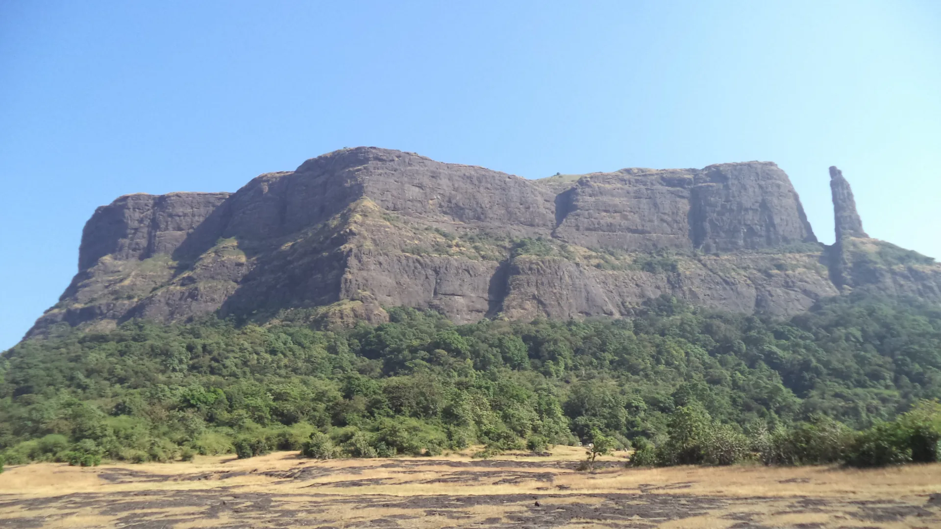
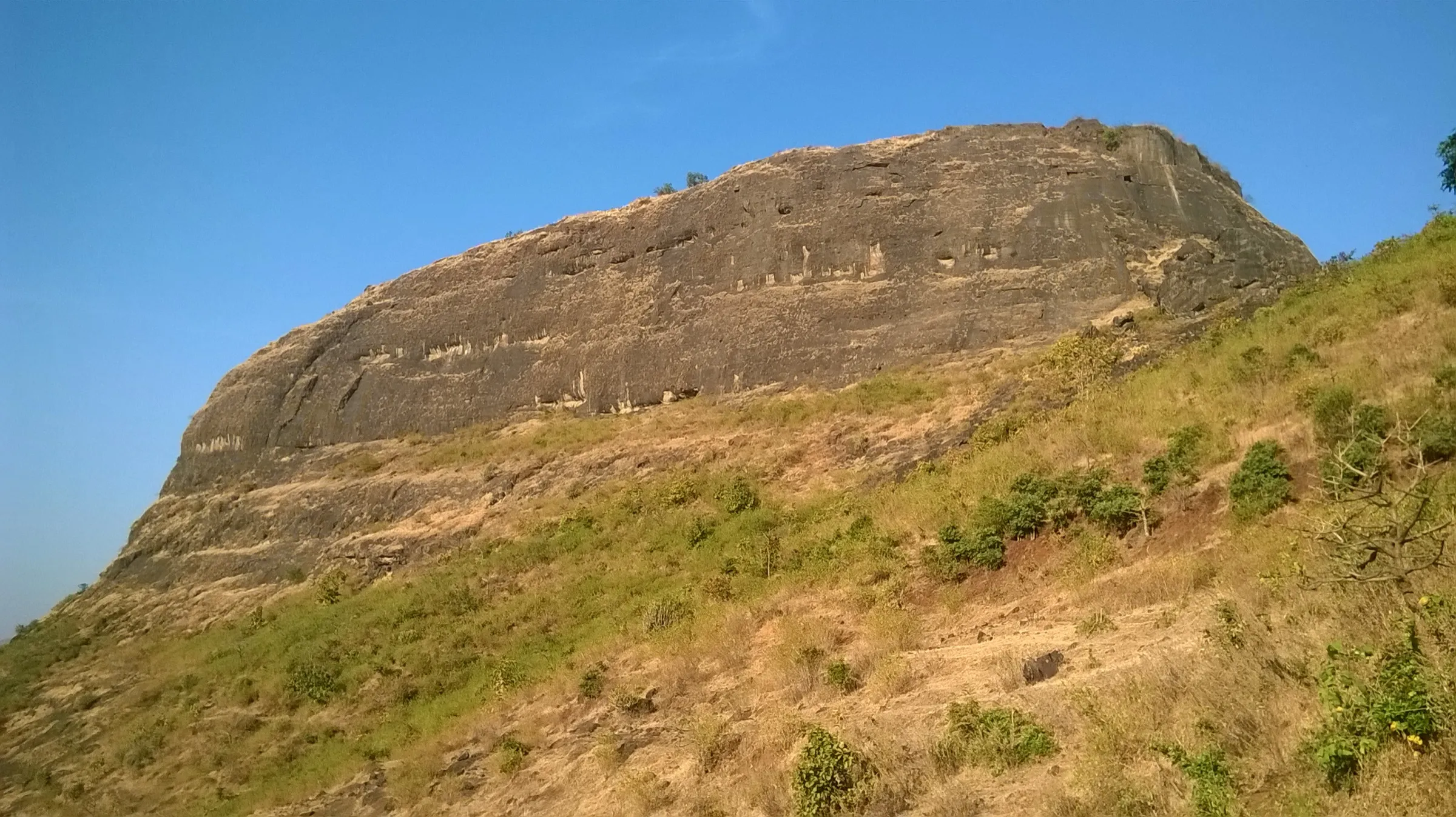
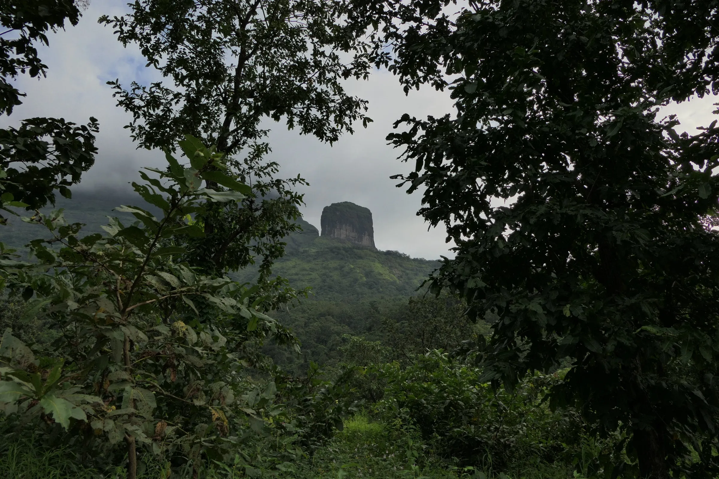
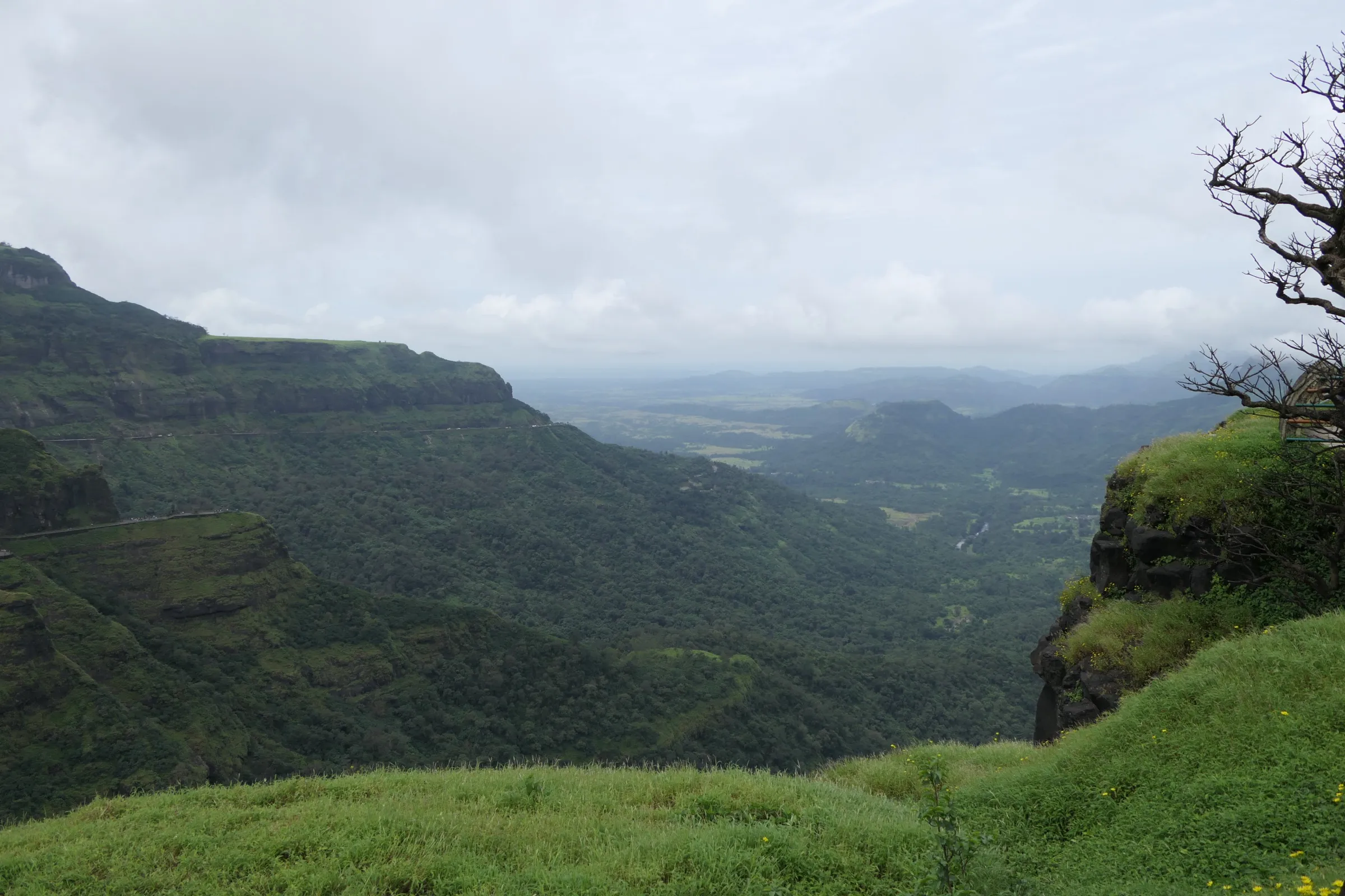
Chavand Trek
Pune, Maharashtra
Opens without signal on this phone, with the map file and checklist. Saved for offline →
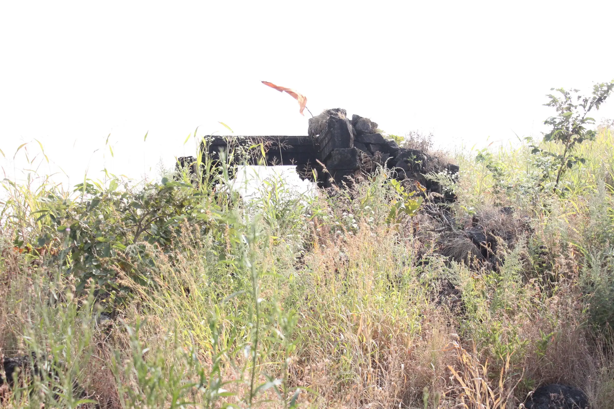 1,036 mhighest point
- Max altitude
- 1,036 m
- Days
- 1 day
- Distance
- 3 km
- Difficulty
- Easy
A short climb of about an hour from Chavandwadi: a forest-department stairway of about 300 steps, then narrow rock-cut steps fitted with iron railings and some 50–60 more carved steps to the ramparts. No climbing gear is needed, but the narrow rock-cut section is exposed and slippery when wet.
The route
Day by day
Day 1 · highest point
Chavandwadi → Chavandwadi
820 m → 1,036 m → 820 m
Ups and downs
Altitude profile
Where it is
Map
Trailhead and high point only — not a recorded track. Use it with a proper map.
Weather
Next 5 days on the trail
Live forecast for the trailhead and the high point. Mountain weather changes fast — check again on the morning you start.
Trailhead · Chavandwadi (Chavand village), Junnar
at 820 mLoading forecast…
High point · Chavand Fort summit (Chamunda Devi temple)
at 1,036 mLoading forecast…
Each day: high / low °C · rain mm and chance · snow cm · wind km/h
Weather data: Open-Meteo.comModel forecast, not an official warning. For alerts follow IMD and the local administration.
Plan the trip
How to reach
- Trailhead
- Chavandwadi (Chavand village), Junnar
- Nearest railway
- Pune Junction (about 110 km)
- Nearest airport
- Pune International Airport (Lohegaon)
- By road
- Junnar to Chavandwadi (about 15 km by road); Narayangaon to Chavand (about 30 km); Pune to Junnar (about 95 km via Narayangaon; operators allow about 2.5 hours by bus)
- Drive
- About 3 h from Pune
Plan the trip
Permits and fees
We could not confirm the current permit rules and fees from an official source. Check with the local forest department or tourism office before you go.
Plan the trip
Cost
Self-guided
₹200–700
With an operator
₹1,000–1,500
Per person. Guided: Foliage Outdoors lists a one-day Chavand trek at Rs 1,000 (plus GST) ex-Pune with private bus and meals, and a Chavand + Naneghat day on a shared-cost basis with Rs 1,500 provisional cash ex-Pune. Only one operator's prices were found. Self-guided estimate, ex-Junnar: bus or shared jeep to Chavandwadi, a village meal and water. No entry fee was found in our sources; check locally.
Gear
Top picks for this trek
The gear that matters most on this route, chosen from its altitude, season and risks.
 Ad · affiliate link
 Ad · affiliate link
 Ad · affiliate link
 Ad · affiliate link
- Ad · affiliate link
 Ad · affiliate link
 Ad · affiliate link
 Ad · affiliate link
Store buttons open a search on that store, not a product we picked. As an Amazon Associate we earn from qualifying purchases. Photos show the kind of item, not a specific product. Affiliate disclosure
Packing checklist
Matched to this trek: altitude, season, days and the risks on the route.
Packed 0 of 22
Monsoon months (Aug–Sep): pack everything in plastic or a dry bag and wear shoes with good grip.
Tick each item as it goes in the bag.
Know before you go
Good to know
- Mobile network
- Not confirmed by our sources; expect usable signal in Chavandwadi and on the open summit, weaker on the rock-cut section
- Last ATM
- Junnar
- Nearest hospital
- Junnar (rural hospital), about 15 km
- Water
- Fill up at the hand pump in front of the restaurant in Chavandwadi. The fort has many rock-cut cisterns, including a set of seven linked tanks (Saptamatrika), but one trek guide says they are not fit to drink because they are not in use; carry 2 litres.
Highlights
- Rock-cut steps to the main gate, with a carved Bhagwan Ganesh at the entrance and a small old cannon barrel set into the path as a step
- Seven interconnected rock-cut water tanks on the north-west of the fort, linked by local tradition to the Saptamatrika
- Chamunda Devi temple at the highest point, with a Nandi and a stone deepmal in front; ruins of an older Shiva temple with a carved pond
- One of the Junnar 'Famous 5' forts with Shivneri, Hadsar, Jivdhan and Naneghat, with views over the Kukadi river and Manikdoh reservoir
- Long history: held by the Nizamshahi and Mughals, named Prasannagad under Chhatrapati Shivaji Maharaj, and taken by the British in 1818
Risks
- The upper section is narrow rock-cut steps with a drop to one side; iron railings help, but the steps get very slippery in rain and moss, so go slowly and do not climb in heavy rain
- Monsoon restrictions: on 8 July 2026, after heavy rain and landslides, Junnar SDO Archana Tambe issued a prohibitory order covering Chavand, Shivneri, Jivdhan, Hadsar and Nimgiri forts and Naneghat, and the Forest Department temporarily stopped tourist entry. These were temporary rain orders, not a season-long closure; check with Junnar police or the Forest Department before a monsoon visit
- Fog and heavy rain in June–July cut visibility on the summit plateau; stay near the marked path and the ramparts
- Little shade on the summit; heat and dehydration in March–May. The fort cisterns are not reliable drinking water
- Caves on the north-east side are reported to be reachable only by rappelling; do not attempt them without a guide and ropes
Know before you go
Questions
How hard is the Chavand Fort trek?
It is an easy, short climb. From Chavandwadi a forest-department stairway of about 300 steps leads to narrow rock-cut steps with iron railings, then about 50–60 more steps to the ramparts. Most people reach the top in about an hour, and operators allow about two hours with a group.
What is the base village for Chavand Fort and how do I get there?
The base is Chavandwadi (Chavand village), about 15 km from Junnar in Pune district. Reach Junnar from Pune (about 2.5–3 hours) or from Mumbai via Malshej Ghat, then take a local vehicle to the village. The path starts beside the Prasannagad restaurant.
How high is Chavand Fort?
Wikipedia and most trek pages give about 1,036 m (3,399–3,400 ft). One trek guide gives 3,500 ft.
Is there drinking water on Chavand Fort?
The fort has many rock-cut cisterns, including seven linked tanks, but a trek guide says they are not fit to drink. Fill bottles at the hand pump in Chavandwadi before you start.
Can I visit Chavand Fort in the monsoon?
It is green and popular in the monsoon, but the rock-cut steps get slippery and the Junnar authorities can close the forts for a few days after heavy rain, as they did in July 2026. Late monsoon (August–September) and winter are the safer months.
In an emergency
Save these numbers before you lose signal. Tap to call.
- 112All emergenciesIndia’s single emergency number — works in every state
- 108Ambulance
- 1077District disaster control room
You are in
District: PuneMaharashtra
- Nearest hospital
- Junnar (rural hospital), about 15 km
- Last ATM
- Junnar
- Phone network
- Not confirmed by our sources; expect usable signal in Chavandwadi and on the open summit, weaker on the rock-cut section
Before you set off
- Tell someone your route and when you will be back.
- Carry a charged phone and a power bank.
- Download an offline map of the route.
- Turn back if the weather turns bad — the mountain will wait.
Questions about Chavand
No questions yet. Ask something and trekkers who have done it can answer.
Share your trek photo with #TreksAndTrails
I trekked this
Did Chavand look different from this page? Tell us what changed and we will check it.
Where this comes from
Sources
Last reviewed:
- Chavand, Maharashtra — Wikipedia
- चावंड (Marathi Wikipedia) — Marathi Wikipedia
- Chawand — Durgbharari
- Trek to Fort Chavand — Foliage Outdoors
- From Ancient Trade Route to Maratha Stronghold: The Story of Chavand Fort — My Pune Pulse
- Heavy Rain: Restrictions Imposed at Tourist Spots in Junnar, Ambegaon to Ensure Visitor Safety (8 July 2026) — Punekar News
Photos: आर्या जोशी (Arya Joshi), CC BY-SA 4.0