Sagargad Trek
Raigad, Maharashtra
Opens without signal on this phone, with the map file and checklist. Saved for offline →
- Max altitude
- 414 m
- Days
- 1 day
- Distance
- 12 km
- Difficulty
- Easy
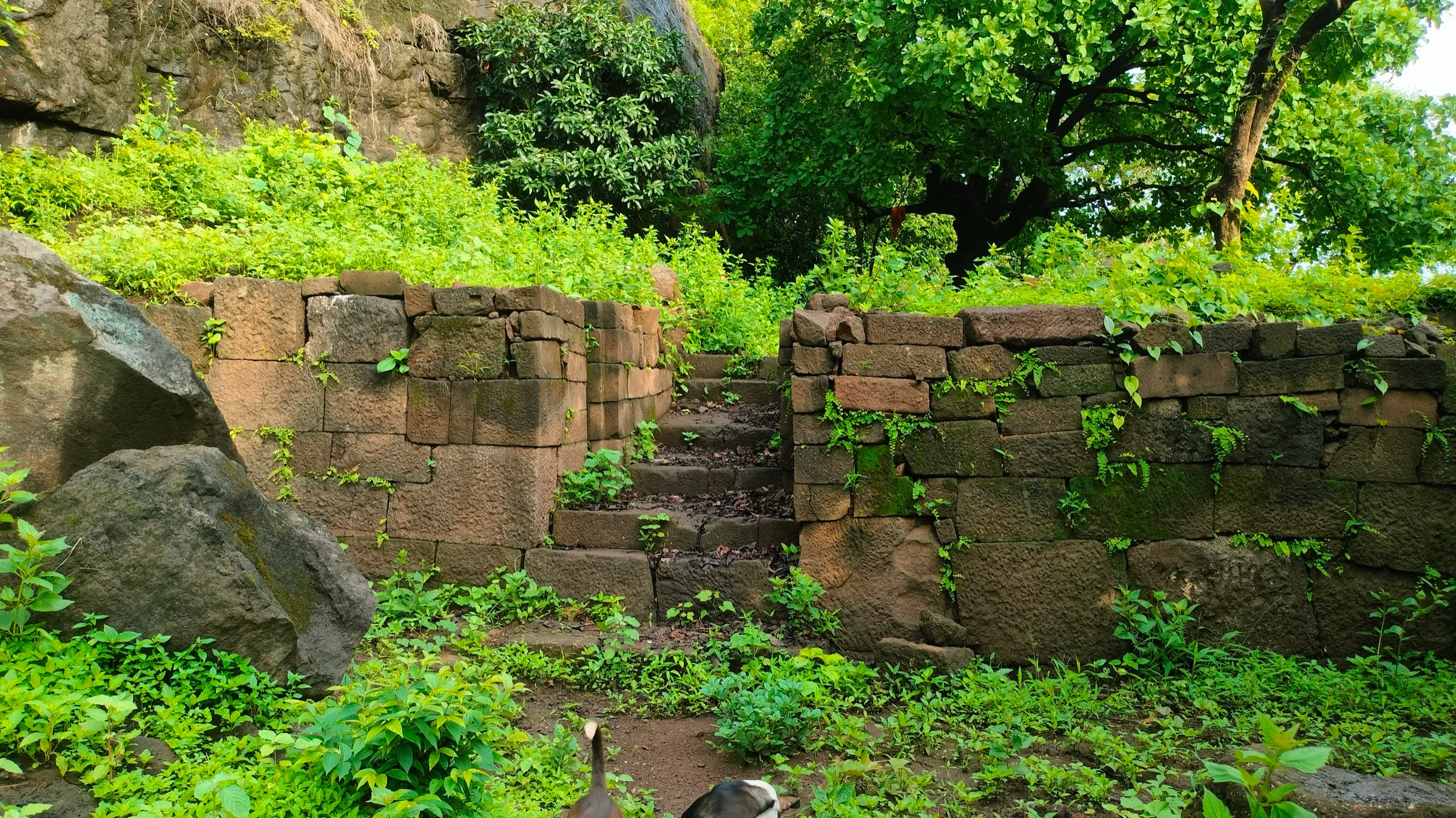
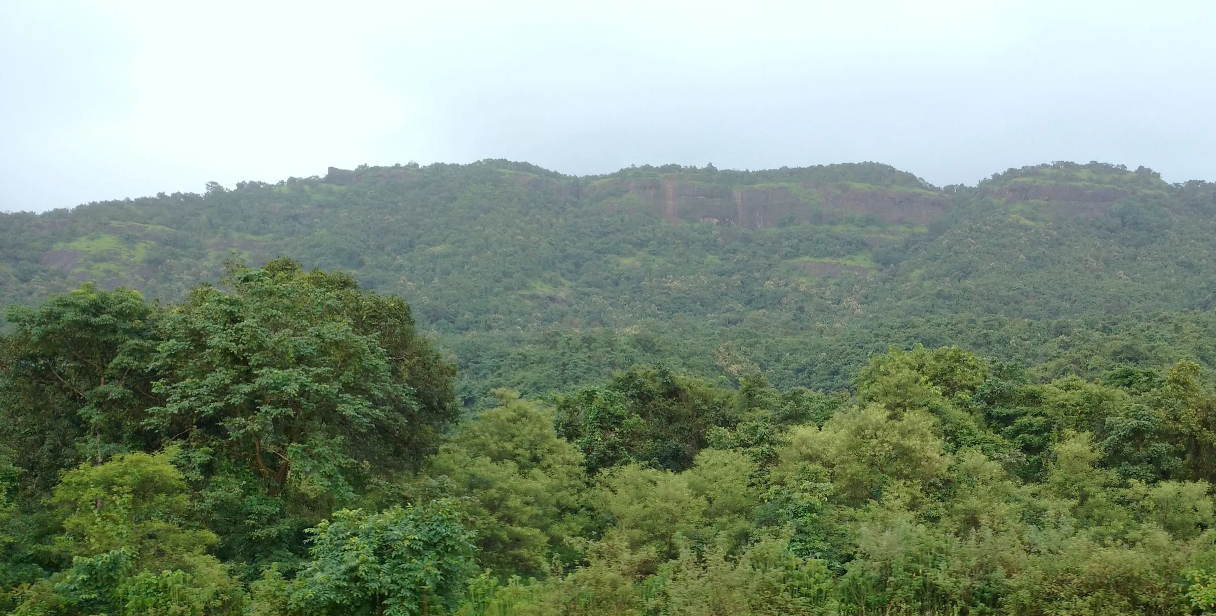
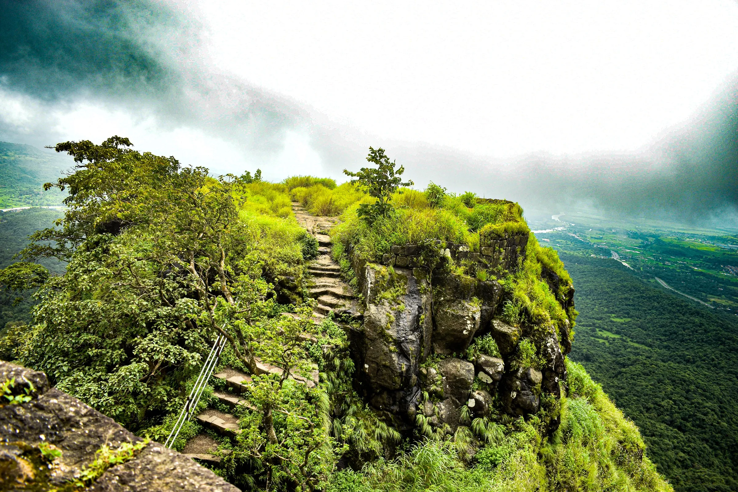
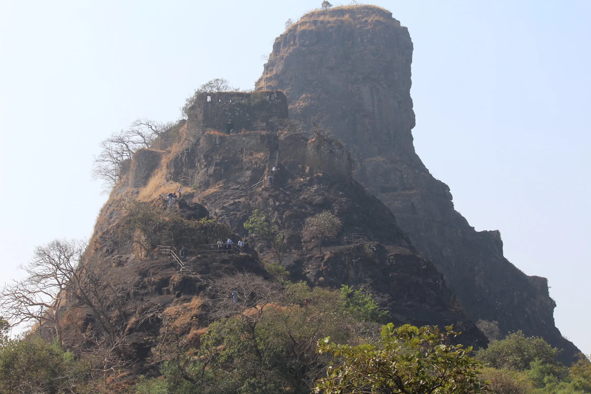
A short day hike: about 350 stone steps and a steep half-hour to the Siddheshwar temple, then an almost level walk across the Sagargad Machi plateau to the fort. Operators grade it medium because of the climb and the overgrown, easily lost plateau path.
Photos
On the trail
The route
Day by day
Day 1 · highest point
Khandale village → Khandale village (via Siddheshwar temple and Sagargad Fort)
30 m → 414 m → 30 m
Ups and downs
Altitude profile
Where it is
Map
Trailhead and high point only — not a recorded track. Use it with a proper map.
Weather
Next 5 days on the trail
Live forecast for the trailhead and the high point. Mountain weather changes fast — check again on the morning you start.
Trailhead · Khandale village
at 30 mLoading forecast…
High point · Sagargad Fort
at 414 mLoading forecast…
Each day: high / low °C · rain mm and chance · snow cm · wind km/h
Weather data: Open-Meteo.comModel forecast, not an official warning. For alerts follow IMD and the local administration.
Plan the trip
How to reach
- Trailhead
- Khandale village (nearest town: Alibag)
- Nearest railway
- Pen (Konkan line); Panvel for long-distance trains
- Nearest airport
- Chhatrapati Shivaji Maharaj International Airport, Mumbai
- By road
- Mumbai (about 92 km by road via Pen and the Karla Khind; Khandale is about 5 km before Alibag); Panvel ST stand (Alibag-bound buses stop at Khandale on request, about 2.5 hours); Gateway of India ferry to Mandwa, then bus or auto to Khandale
- Drive
- About 3 h from Mumbai
Plan the trip
Permits and fees
We could not confirm the current permit rules and fees from an official source. Check with the local forest department or tourism office before you go.
Plan the trip
Cost
Self-guided
₹400–1,200
With an operator
₹650–1,300
Per person, ex-Mumbai. Treks and Trails India (treksandtrails.org, not related to this site) lists ₹650 without transport and ₹1,300 with a private bus from Mumbai, including breakfast and the trek leader; we found only one operator with a live price. Self-guided is an estimate: ST bus or ferry-plus-bus to Khandale and back, an auto to the end of the village road, and food.
Gear
Top picks for this trek
The gear that matters most on this route, chosen from its altitude, season and risks.
 Ad · affiliate link
 Ad · affiliate link
 Ad · affiliate link
 Ad · affiliate link
- Ad · affiliate link
 Ad · affiliate link
 Ad · affiliate link
 Ad · affiliate link
Store buttons open a search on that store, not a product we picked. As an Amazon Associate we earn from qualifying purchases. Photos show the kind of item, not a specific product. Affiliate disclosure
Packing checklist
Matched to this trek: altitude, season, days and the risks on the route.
Packed 0 of 21
Monsoon months (Jul–Sep): pack everything in plastic or a dry bag and wear shoes with good grip.
Tick each item as it goes in the bag.
Know before you go
Good to know
- Mobile network
- Not confirmed by our sources; signal is generally available near Khandale on the Alibag road but may drop in the ravine and on the plateau.
- Last ATM
- Alibag (about 5 km from Khandale)
- Nearest hospital
- Alibag (Raigad district headquarters)
- Water
- Wells at the Siddheshwar ashram and at Sagargad Machi (the village well dries in summer); a Gomukh spring cistern on the fort gives potable water all year. The big pond on top is not safe to drink. Carry 2-3 litres and treat all water.
Highlights
- The Dhondane waterfall, a tall two-tier monsoon fall seen from a spur just off the stone-stair path
- Siddheshwar Mahadev temple and ashram on the ridge, where trekkers can rest and get tea
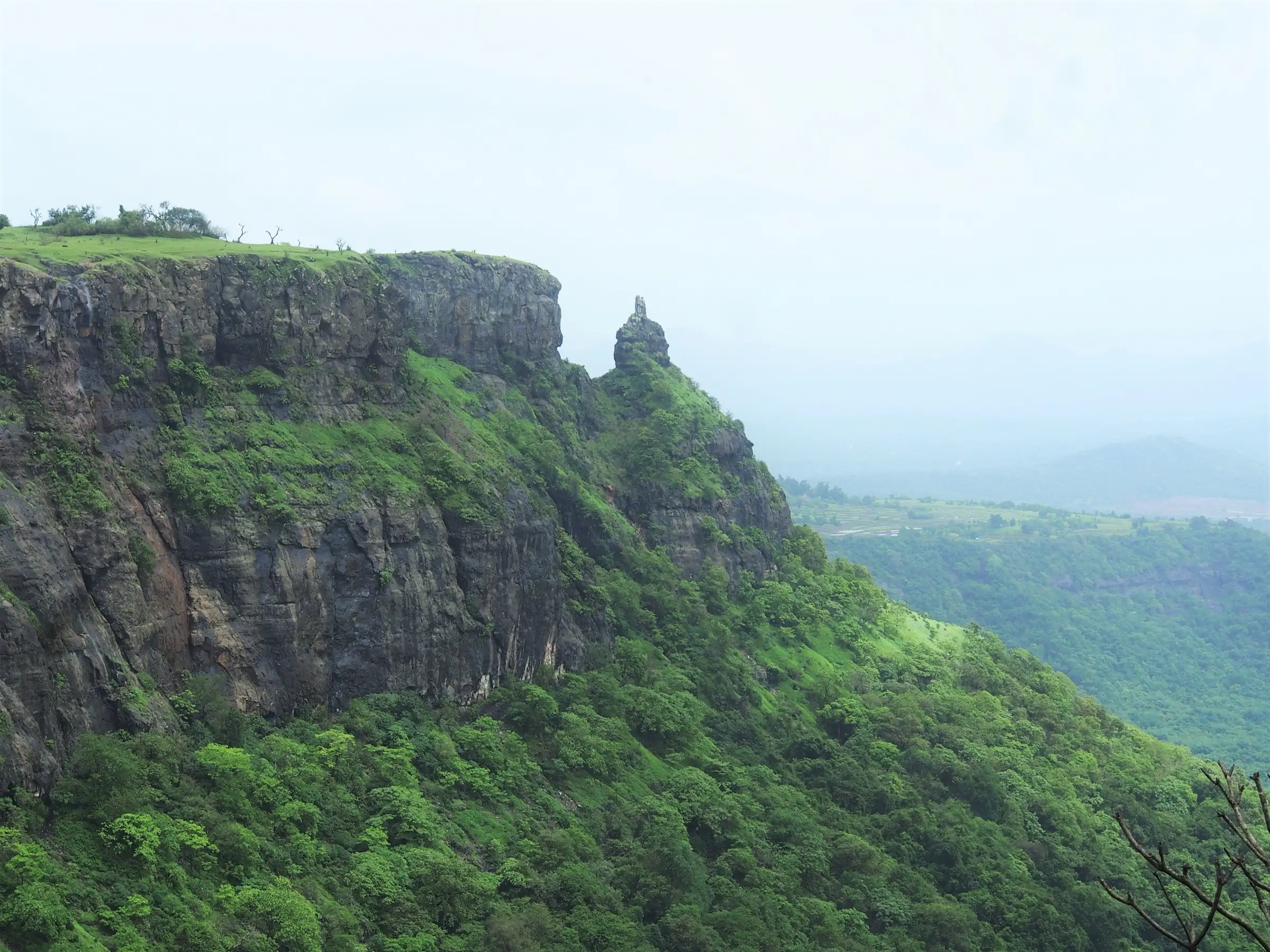
- The Vanartok (Monkey Point) pinnacle standing apart from the fort's cliff edge
- Gomukh spring cistern beside the Shiva temple on top, with Nandi, Shivling and Ganapati murtis
- Views over the Alibag coast, Revdanda, Khanderi-Underi, Dharamtar creek, Karnala and Matheran
Risks
- The plateau trail beyond Sagargad Machi is overgrown and easy to lose, especially in monsoon mist; follow the painted arrows on rocks.
- Stone steps and the stream crossing at the base turn slippery in monsoon, when water runs down the steps.
- Vanartok pinnacle is unbolted and dangerous to climb; the cliff edges at Monkey Point are sheer.
- The dirt road from Khandale to the hill base is in poor shape; in the monsoon vehicles must be left in the village, adding walking time.
- Raigad district issues monsoon prohibitory orders at waterfalls and some forts each year; check for a current order before a monsoon visit.
- Snakes are reported around the pond on top.
Know before you go
Questions
How long does it take to climb Sagargad?
About 2 hours from Khandale village to the fort, according to Trekshitiz and Wikipedia; Treks and Trails India allows 3.5 hours for a group. Durgbharari breaks it down as about half an hour to the base of the hill, half an hour to the Siddheshwar temple, half an hour to Sagargad Machi and half an hour to the fort.
Can Sagargad be done in any season?
Yes. Trekshitiz calls it a fort you can do in a day from Mumbai in any season, and Wikipedia says it can be visited all year. Monsoon brings the Dhondane waterfall but also slippery steps and mist on the plateau; October to February is drier and clearer.
Is there a place to stay overnight?
There is no shelter on the fort itself. Trekkers can stay at the Siddheshwar temple and ashram (Indiahikes says it can accommodate about 25 people) or at the school in Sagargad Machi village, and the Khandale samaj mandir can be used for a night.
How do I reach the base village Khandale from Mumbai?
Khandale is on the Mumbai-Alibag road, about 5 km before Alibag. Alibag-bound ST buses from Panvel stop there if you tell the conductor; you can also take the ferry from the Gateway of India to Mandwa and a bus onward. By road it is about 92 km from Mumbai.
Is there water on the trek?
Yes. There are wells at the Siddheshwar ashram and at Sagargad Machi, and a spring-fed Gomukh cistern near the Shiva temple on the fort gives drinkable water all year. Do not drink from the large pond on top.
In an emergency
Save these numbers before you lose signal. Tap to call.
- 112All emergenciesIndia’s single emergency number — works in every state
- 108Ambulance
- 1077District disaster control room
You are in
District: RaigadMaharashtra
- Nearest hospital
- Alibag (Raigad district headquarters)
- Last ATM
- Alibag (about 5 km from Khandale)
- Phone network
- Not confirmed by our sources; signal is generally available near Khandale on the Alibag road but may drop in the ravine and on the plateau.
Before you set off
- Tell someone your route and when you will be back.
- Carry a charged phone and a power bank.
- Download an offline map of the route.
- Turn back if the weather turns bad — the mountain will wait.
Questions about Sagargad
No questions yet. Ask something and trekkers who have done it can answer.
Share your trek photo with #TreksAndTrails
I trekked this
Did Sagargad look different from this page? Tell us what changed and we will check it.
Where this comes from
Sources
Last reviewed:
- The Gazetteers Department - Kolaba District Gazetteer (1964): Sagargad — Maharashtra Gazetteers Department (Raigad district, archived)
- Sagargad — Wikipedia
- सागरगड (खेडदूर्ग) - Sagargad — Trekshitiz
- SAGARGAD | Durgbharari — Durgbharari
- Sagargad trek | Treks and Trails India — Treks and Trails India
- Sagargad Trek — Indiahikes
Photos: Pradeep717, CC BY-SA 4.0; Ccmarathe, CC BY-SA 4.0; Pradeep717, CC BY-SA 4.0