Roopkund Trek
Chamoli, Uttarakhand
Opens without signal on this phone, with the map file and checklist. Saved for offline →
- Max altitude
- 4,785 m
- Days
- 8 days
- Distance
- 52 km
- Difficulty
- Difficult
Operators grade it moderate-difficult: steep daily climbs from about 2,300 m to 4,785 m, rocky alpine terrain above 4,000 m, and a 12-14 hour summit day that starts at 2-3 am over snow, with evacuation hard from the upper camps.
Photos
On the trail
The route
Day by day
Day 1
Dehradun → Lohajung
640 m → 2,300 m
Day 2
Lohajung → Didna
2,300 m → 2,500 m
Day 3
Didna → Bedni Bugyal (via Ali Bugyal)
2,500 m → 3,500 m
Day 4
Bedni Bugyal → Patar Nachauni
3,500 m → 3,870 m
Day 5
Patar Nachauni → Bhagwabasa (via Kalu Vinayak)
3,870 m → 4,300 m
Day 6 · highest point
Bhagwabasa → Bedni Bugyal (via Roopkund lake)
4,300 m → 4,785 m → 3,500 m
Day 7
Bedni Bugyal → Lohajung
3,500 m → 2,300 m
Day 8
Lohajung → Dehradun
2,300 m → 640 m
Ups and downs
Altitude profile
Where it is
Map
Trailhead and high point only — not a recorded track. Use it with a proper map.
Weather
Next 5 days on the trail
Live forecast for the trailhead and the high point. Mountain weather changes fast — check again on the morning you start.
Trailhead · Lohajung / Wan
at 2,300 mLoading forecast…
High point · Roopkund lake
at 4,785 mLoading forecast…
Each day: high / low °C · rain mm and chance · snow cm · wind km/h
Weather data: Open-Meteo.comModel forecast, not an official warning. For alerts follow IMD and the local administration.
Plan the trip
How to reach
- Trailhead
- Lohajung / Wan
- Nearest railway
- Kathgodam (about 216 km); Rishikesh and Dehradun for the Garhwal route
- Nearest airport
- Jolly Grant Airport, Dehradun
- By road
- Rishikesh (about 270 km via Devprayag, Rudraprayag, Karnaprayag, Tharali and Dewal); Dehradun (about 290 km on the same route); Kathgodam (about 216 km via Almora and Gwaldam)
- Drive
- About 11 h from Rishikesh
Plan the trip
Permits and fees
We could not confirm the current permit rules and fees from an official source. Check with the local forest department or tourism office before you go.
Plan the trip
Cost
Self-guided
₹10,000–18,000
With an operator
₹22,000–32,000
Per person, ex-Dehradun/Rishikesh. Guided prices published October 2026: Indiahikes ₹18,450 + 5% GST Lohajung to Lohajung plus ₹3,000 for Rishikesh transport; Bikat Adventures ₹18,250 + 5% GST Wan to Wan plus ₹3,200 for Dehradun transport; Himalaya Shelter ₹32,000 ex-Dehradun. Self-guided is an estimate: bus or shared jeep to Lohajung, guesthouse nights, a local guide (about ₹500 a day) and porter, tent and stove hire, food and forest fees. Forest permits are mandatory and operators say bookings should go through registered operators, so check before planning a self-guided trip.
Gear
Top picks for this trek
The gear that matters most on this route, chosen from its altitude, season and risks.
 Ad · affiliate link
 Ad · affiliate link
 Ad · affiliate link
 Ad · affiliate link
 Ad · affiliate link
 Ad · affiliate link
 Ad · affiliate link
 Ad · affiliate link
Store buttons open a search on that store, not a product we picked. As an Amazon Associate we earn from qualifying purchases. Photos show the kind of item, not a specific product. Affiliate disclosure
Packing checklist
Matched to this trek: altitude, season, days and the risks on the route.
Packed 0 of 34
Snow on the trail in May, Oct: microspikes, gaiters and a warm layer are not optional.
Tick each item as it goes in the bag.
Know before you go
Good to know
- Mobile network
- Mobile network in most of Lohajung (BSNL most reliable); little or none on the trail above.
- Last ATM
- Dewal; Lohajung has no ATM, so carry cash
- Nearest hospital
- Primary Health Centre at Dewal (about 30 km from Lohajung, basic); hospitals at Gopeshwar or Rudraprayag for serious cases
- Water
- Streams in the oak forest and the Neel Ganga on the lower trail; water is scarce on the rocky upper section at Bhagwabasa. Boil or treat all water.
Highlights
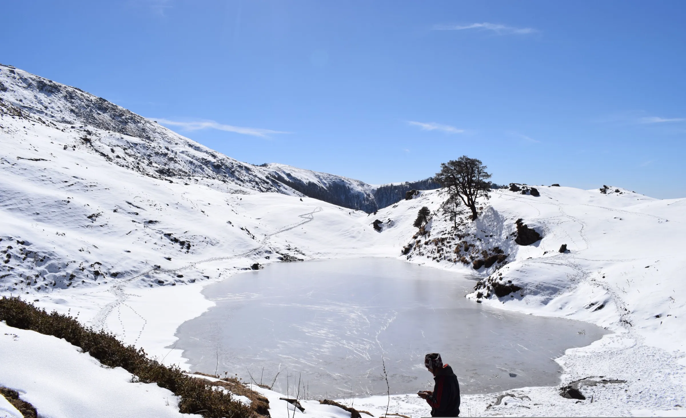
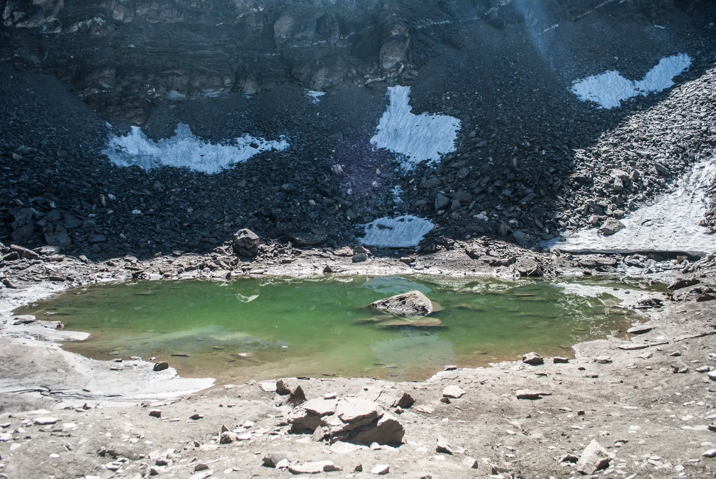
- Roopkund, a small glacial lake at about 4,785 m below Trishul, known for the ancient human skeletal remains around its edge
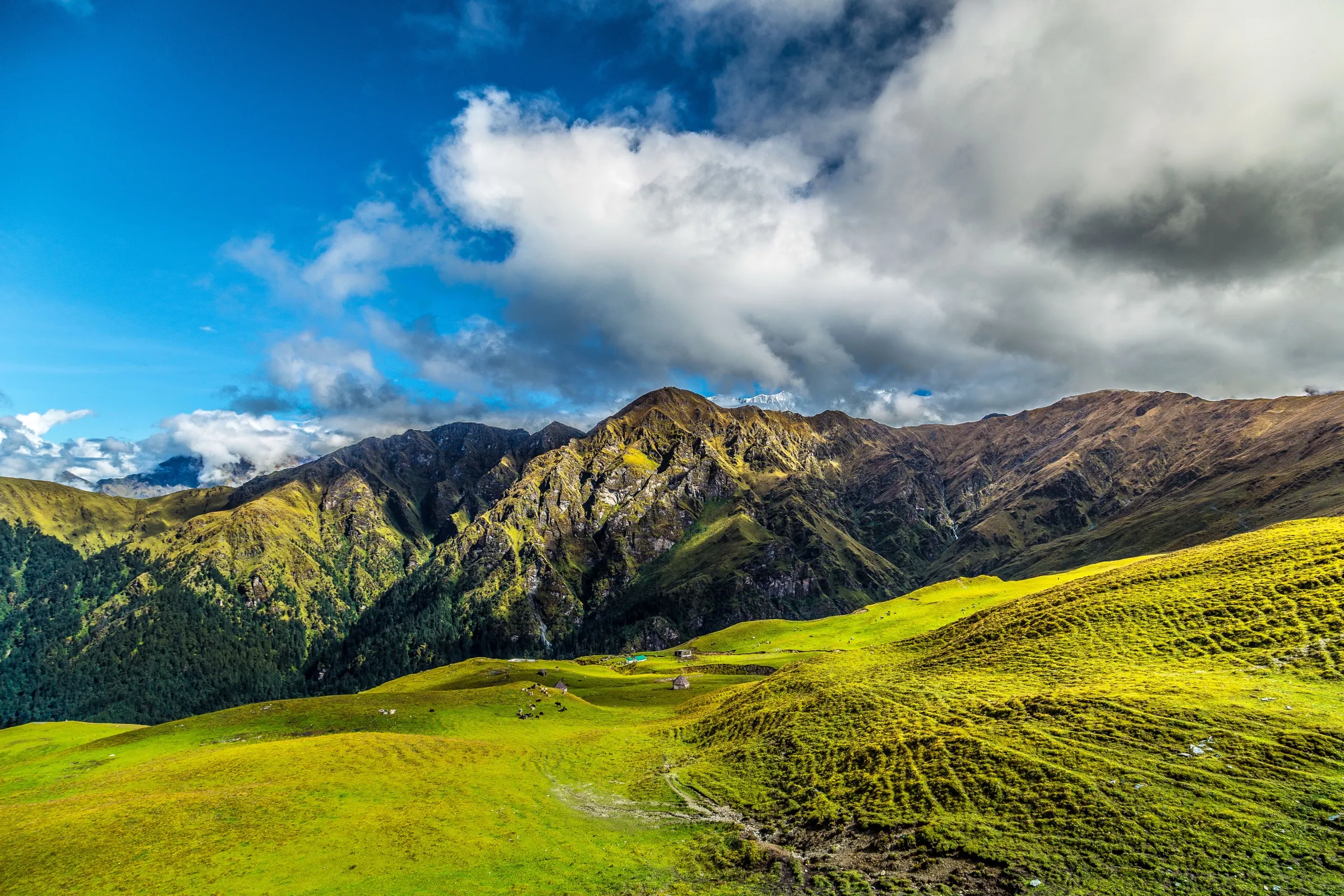
- Ali Bugyal and Bedni Bugyal, among the largest high-altitude meadows in India, with sunrise on Trishul and Nanda Ghunti
- Bedni Kund, sacred to Maa Nanda Devi and a halting place of the Nanda Devi Raj Jat Yatra
- The shrine of Kalu Vinayak (Shri Ganesh) on the ridge above Patar Nachauni, and the Latu Devta temple at Wan
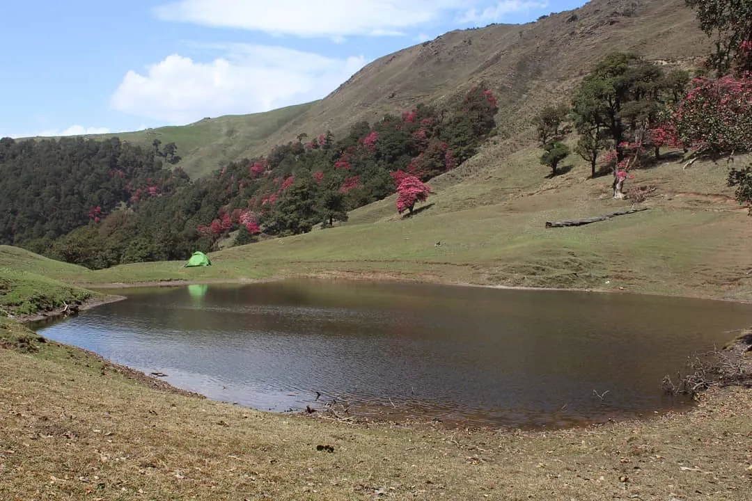
- Deep oak and rhododendron forest on the climb from the Neel Ganga to Gehroli Patal and Didna
Risks
- Summit day from Bhagwabasa to the lake and back to Bedni Bugyal is 12-14 hours, starting at 2-3 am over snow and loose rock; rockfall risk rises once the sun softens the snow.
- Acute mountain sickness is a real risk above 4,000 m; the Bedni Bugyal acclimatisation night is the reason camping there matters.
- July and August monsoon brings heavy rain, landslides on the approach roads and a risky Neel Ganga crossing; operators advise avoiding these months.
- Snow can lie near Kalu Vinayak, Bhagwabasa and the lake in any season, and early May can still block the final climb.
- Camping on the bugyals was banned from 2018 until a Supreme Court order of 20 July 2026; forest permits, group-size and waste rules still apply, so confirm the current rules with the Badrinath Forest Division or your operator before booking.
Know before you go
Questions
Is the Roopkund trek open now?
Yes. The 2018 Uttarakhand High Court order banned overnight camping on the bugyals, which stopped the trek because Bedni Bugyal is its acclimatisation camp. On 20 July 2026 the Supreme Court set aside that direction, and operators such as Indiahikes have reopened registration. Forest permits and the other forest rules still apply.
When is the best time to do the Roopkund trek?
May-June and September-October. Summer has green meadows with snow on the upper trail; post-monsoon brings the clearest mountain views and colder nights. Avoid July-August for monsoon rain and landslides. From November to April heavy snow makes the upper route impassable.
How difficult is the Roopkund trek?
Operators grade it moderate-difficult. You climb from about 2,300 m at Lohajung to about 4,785 m at the lake over several days, and summit day is 12-14 hours from a 2-3 am start. Indiahikes asks trekkers to be able to run 5 km in about 32 minutes before the trek.
What is the altitude of Roopkund lake?
Operators give about 4,785-4,800 m (15,700-15,750 ft), which matches satellite elevation data for the lake. Some pages quote 5,029 m, but that figure does not match the terrain.
Why is Roopkund called Skeleton Lake?
Remains of more than 300 people lie around the lake and show when the snow melts. They were found again in 1942 by a forest ranger. A 2019 ancient-DNA study in Nature Communications found that they belong to different groups who died in separate events about 800 CE and 1800 CE. The lake lies on the route of the Nanda Devi Raj Jat Yatra.
How do I reach Lohajung?
Lohajung is about 270 km from Rishikesh (10-11 hours via Karnaprayag, Tharali and Dewal) or about 216 km from Kathgodam via Almora and Gwaldam. Operators run shared transport from Rishikesh or Dehradun; shared jeeps also run from Dewal and Tharali.
In an emergency
Save these numbers before you lose signal. Tap to call.
- 112All emergenciesIndia’s single emergency number — works in every state
- 108Ambulance
- 1077District disaster control room
You are in
District: ChamoliUttarakhand
- Nearest hospital
- Primary Health Centre at Dewal (about 30 km from Lohajung, basic); hospitals at Gopeshwar or Rudraprayag for serious cases
- Last ATM
- Dewal; Lohajung has no ATM, so carry cash
- Phone network
- Mobile network in most of Lohajung (BSNL most reliable); little or none on the trail above.
Before you set off
- Tell someone your route and when you will be back.
- Carry a charged phone and a power bank.
- Download an offline map of the route.
- Turn back if the weather turns bad — the mountain will wait.
Questions about Roopkund
No questions yet. Ask something and trekkers who have done it can answer.
Share your trek photo with #TreksAndTrails
I trekked this
Did Roopkund look different from this page? Tell us what changed and we will check it.
Where this comes from
Sources
Last reviewed:
- Roopkund Trek — Indiahikes
- Roopkund Trek Reopens After 8 Years: What The Supreme Court Ruling Means — Indiahikes
- Roopkund Trek — Bikat Adventures
- Roopkund Trek — Himalaya Shelter
- Roopkund Trek: A Beginner's Guide (updated October 2026) — Discover with Dheeraj
- Roopkund Trek Reopens After 8 Years: What has Changed? — JustWravel
- Roopkund Lake Trek: General Information — Solo Backpacker
- Roopkund — Wikipedia
- बड़ी राहत: बुग्यालों में नाइट स्टे पर लगी रोक आठ साल बाद हटी, पर्यटक रूपकुंड की कर सकेंगे ट्रेकिंग — Amar Ujala
- सुप्रीम कोर्ट से सरकार को मिली बड़ी राहत, आठ साल पुराने तीन प्रतिबंध खत्म, वन विभाग ने जारी किए निर्देश — ETV Bharat
Photos: Schwiki, CC BY-SA 4.0; Vaibhav Dautkhani, CC BY-SA 4.0; Yash Soorma, CC BY-SA 4.0