Bagji Bugyal Trek
Chamoli, Uttarakhand
Opens without signal on this phone, with the map file and checklist. Saved for offline →
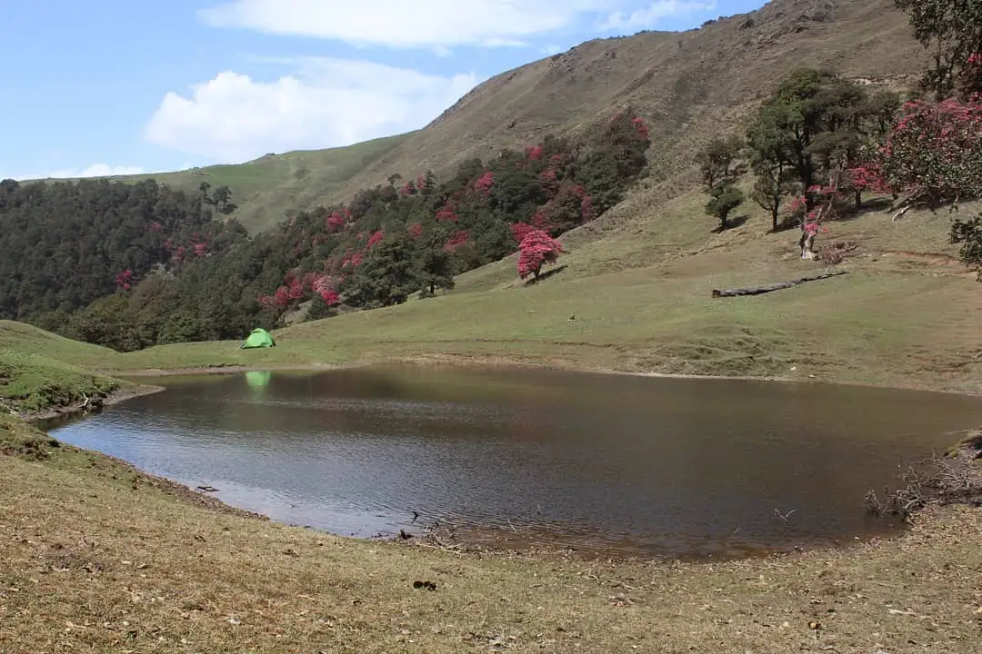 3,383 mhighest point
- Max altitude
- 3,383 m
- Days
- 6 days
- Distance
- 22 km
- Difficulty
- Easy
Most operators grade it easy: trekking days are only 3-7 km, but there are steep forest climbs on the first two days, a pre-dawn climb to the 3,383 m top and a steep 45-minute descent through forest afterwards.
The route
Day by day
Day 1
Rishikesh → Ghes
340 m → 2,408 m
Day 2
Ghes → Devlikheti (Dayalkheti)
2,408 m → 2,990 m
Day 3
Devlikheti (Dayalkheti) → Bagji Bugyal Base Camp
2,990 m → 3,231 m
Day 4 · highest point
Bagji Bugyal Base Camp → Dhulamb (via Bagji Bugyal top)
3,231 m → 3,383 m → 3,008 m
Day 5
Dhulamb → Himni
3,008 m → 2,560 m
Day 6
Himni → Rishikesh (drive)
2,560 m → 340 m
Ups and downs
Altitude profile
Where it is
Map
Trailhead and high point only — not a recorded track. Use it with a proper map.
Weather
Next 5 days on the trail
Live forecast for the trailhead and the high point. Mountain weather changes fast — check again on the morning you start.
Trailhead · Ghes
at 2,408 mLoading forecast…
High point · Bagji Bugyal top
at 3,383 mLoading forecast…
Each day: high / low °C · rain mm and chance · snow cm · wind km/h
Weather data: Open-Meteo.comModel forecast, not an official warning. For alerts follow IMD and the local administration.
Plan the trip
How to reach
- Trailhead
- Ghes (nearest town: Dewal)
- Nearest railway
- Rishikesh (Kathgodam is the alternative railhead)
- Nearest airport
- Jolly Grant Airport, Dehradun
- By road
- Rishikesh (about 254 km via Devprayag, Rudraprayag, Karnaprayag, Tharali and Dewal); Kathgodam (about 220 km via Almora, Kausani, Gwaldam and Dewal)
- Drive
- About 10 h from Rishikesh
Plan the trip
Permits and fees
We could not confirm the current permit rules and fees from an official source. Check with the local forest department or tourism office before you go.
Plan the trip
Cost
Self-guided
₹5,000–9,000
With an operator
₹9,700–13,600
Per person, ex-Ghes. Guided prices as published: Himalayan Daredevils ₹9,700 (Ghase to Ghase); Trek The Himalayas ₹9,800 + 5% GST (Ghase to Ghase, page archived January 2026); Green Valley Himalayas ₹9,950 + 5% GST (Ghes to Himni); Himalaya Trekker ₹12,950 + 5% GST (Ghes to Himni). Transport is extra: a shared Tata Sumo from Rishikesh to Ghes costs about ₹7,500-8,000 one way for the vehicle. Self-guided is an estimate: shared jeeps via Karnaprayag, Tharali and Dewal, a local guide and porter from Ghes for four trekking days, tent and stove hire, food, and any forest fees.
Gear
Top picks for this trek
The gear that matters most on this route, chosen from its altitude, season and risks.
 Ad · affiliate link
 Ad · affiliate link
 Ad · affiliate link
 Ad · affiliate link
 Ad · affiliate link
 Ad · affiliate link
 Ad · affiliate link
 Ad · affiliate link
Store buttons open a search on that store, not a product we picked. As an Amazon Associate we earn from qualifying purchases. Photos show the kind of item, not a specific product. Affiliate disclosure
Packing checklist
Matched to this trek: altitude, season, days and the risks on the route.
Packed 0 of 33
Snow on the trail in Feb: microspikes, gaiters and a warm layer are not optional.
Tick each item as it goes in the bag.
Know before you go
Good to know
- Mobile network
- Sources differ for Ghes itself (Himalaya Trekker says Airtel and Jio work there; Trek The Himalayas says there is no network). There is no signal on the trail except occasional weak spots near Bagji Bugyal base camp.
- Last ATM
- Dewal, about 25 km before Lohajung, but it often runs out of cash; withdraw in Rishikesh or Karnaprayag.
- Nearest hospital
- Only basic care in the Dewal-Tharali area; serious cases need evacuation to Rishikesh (about 10 hours by road).
- Water
- One source near Samrata village on day 2; a spring about 100 m from the forest department huts at the base camp; no water on the summit day until Dhulamb; a pond and the Himni village reservoir on the last day. Treat all water.
Highlights
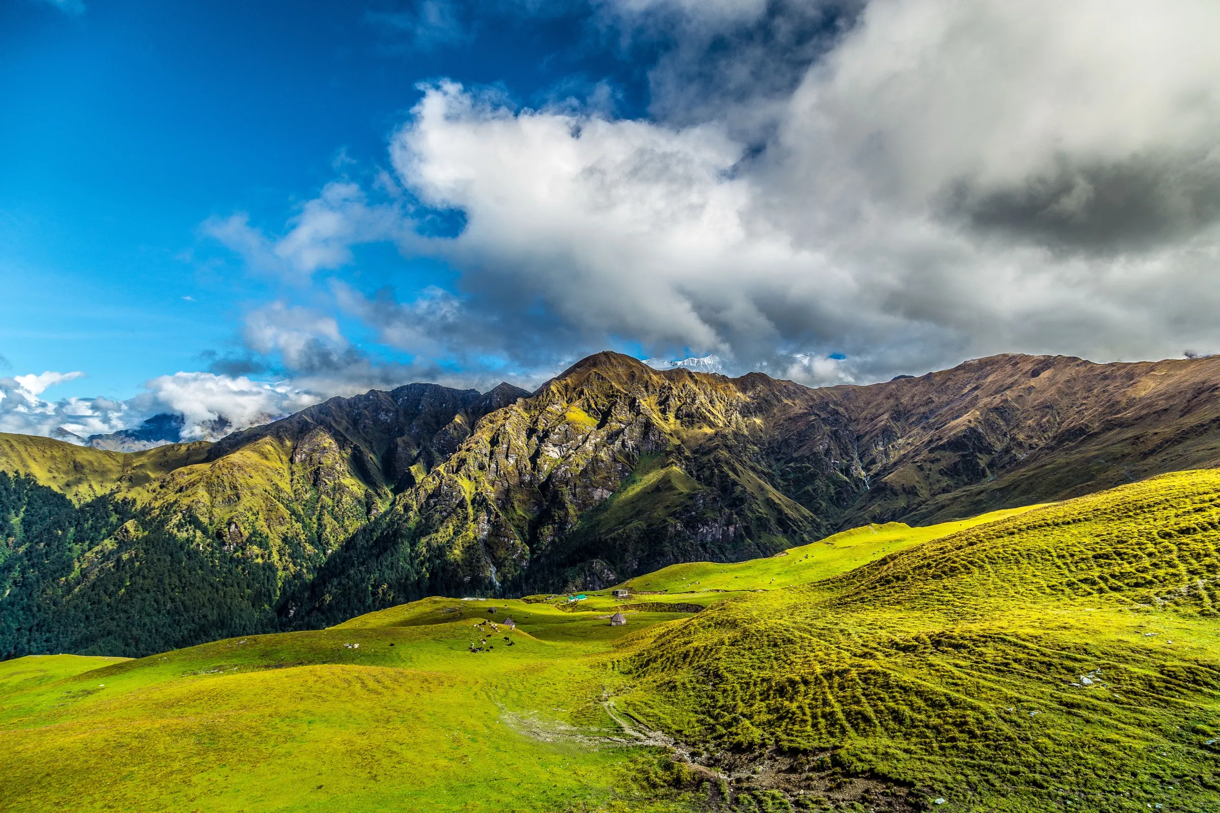
- Sunrise from Bagji Bugyal top with a 360° view of Trishul, Nanda Ghunti, Mrigthuni, Devtoli and Mektoli, and the Roopkund trail across the valley
- Wide, little-visited alpine meadows on the same ridge system as the far busier Ali and Bedni Bugyal
- Old oak and rhododendron forest, with rhododendrons in bloom in spring
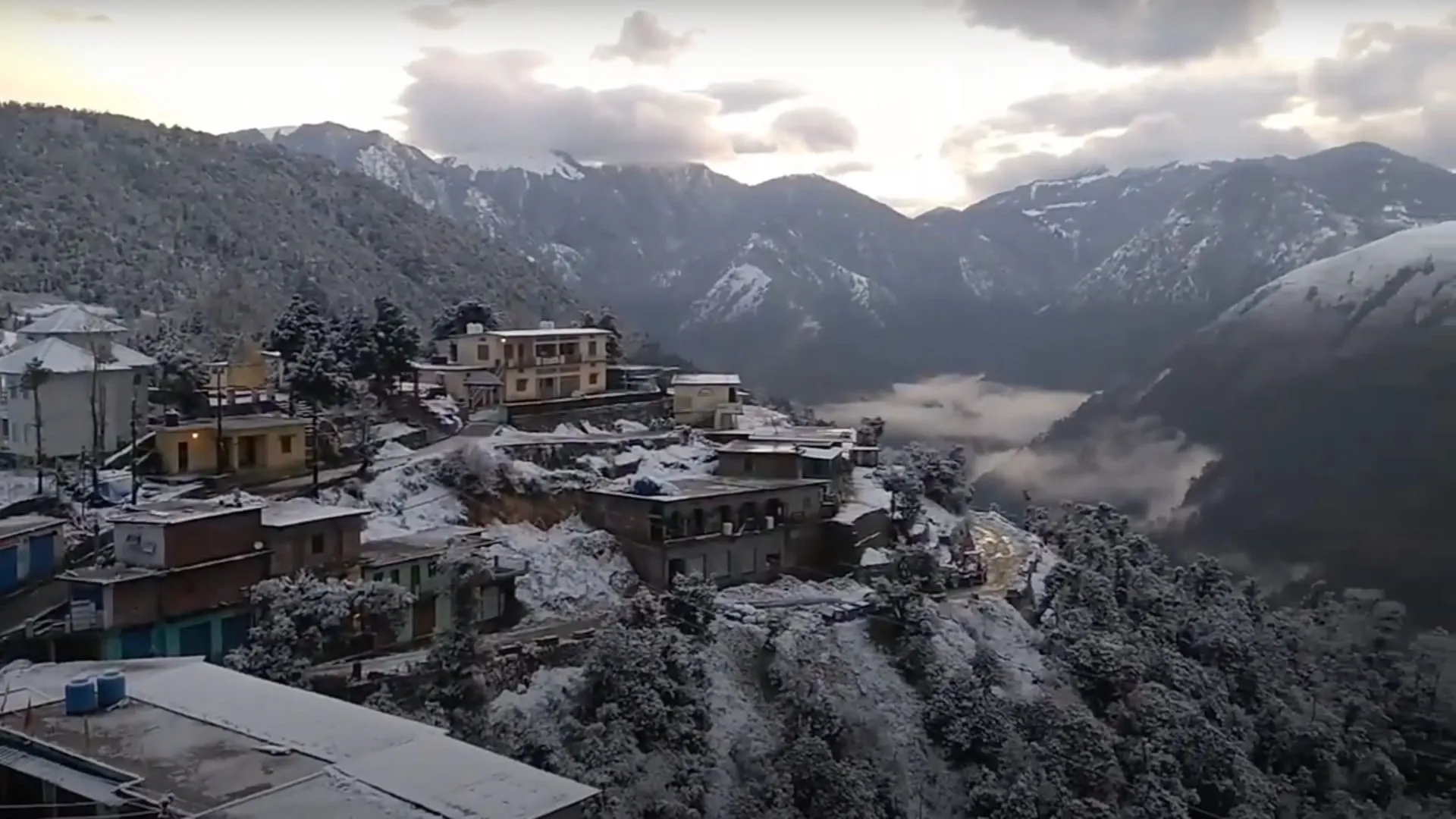
- Traditional villages of Ghes, Samrata and Himni; the name means 'meadow of tigers', from the time tigers roamed here
- Named one of Uttarakhand's Treks of the Year in 2022 by the Uttarakhand Tourism Development Board
Risks
- July and August monsoon rain makes forest trails slippery and leech-ridden; Himalaya Trekker does not run the trek in the monsoon, and Trek The Himalayas advises a buffer day in July-August.
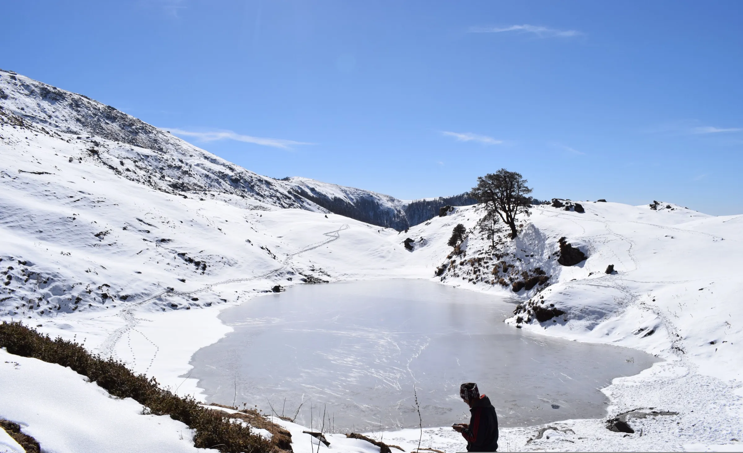
- Snow from late December to February; base camp nights fall to about -5 °C to -10 °C in winter.
- Summit day has no water source between the base camp and Dhulamb, and a steep forest descent after the top.
- Remote area with little or no mobile signal and a long road evacuation; the Rishikesh-Ghes road takes 9-11 hours and can be blocked by landslides.
Know before you go
Questions
How difficult is the Bagji Bugyal trek?
Most operators grade it easy, some easy to moderate. Trekking days are short (about 3-7 km, 3-5 hours), but the first two days have steep forest climbs and summit day starts before dawn with a steep descent later. Operators ask that you can jog 5 km in about 35-40 minutes.
What is the best time to do Bagji Bugyal?
Spring (March-May) for clear mornings and rhododendron bloom, and October-November for the clearest post-monsoon views. December to February is a snow trek. Avoid the July-August monsoon.
How do I reach Ghes, the base village?
Ghes is a detour from Dewal, about 25 km before Lohajung in Chamoli district. From Rishikesh it is about 254 km (9-10 hours) via Devprayag, Rudraprayag, Karnaprayag and Tharali; from Kathgodam about 220 km via Almora and Gwaldam. Shared jeeps run in stages; a private Tata Sumo costs about ₹7,500-8,000 one way.
What is the maximum altitude of Bagji Bugyal?
The top is about 3,383 m (11,100 ft); operators quote 3,350-3,414 m. The base camp is around 3,230 m (10,600 ft) and the top is a 45-minute climb above it.
Do I need a permit for Bagji Bugyal?
Operators include forest entry and camping fees in their packages. We could not confirm the current official fee, so self-guided trekkers should check with the forest office before setting out.
In an emergency
Save these numbers before you lose signal. Tap to call.
- 112All emergenciesIndia’s single emergency number — works in every state
- 108Ambulance
- 1077District disaster control room
You are in
District: ChamoliUttarakhand
- Nearest hospital
- Only basic care in the Dewal-Tharali area; serious cases need evacuation to Rishikesh (about 10 hours by road).
- Last ATM
- Dewal, about 25 km before Lohajung, but it often runs out of cash; withdraw in Rishikesh or Karnaprayag.
- Phone network
- Sources differ for Ghes itself (Himalaya Trekker says Airtel and Jio work there; Trek The Himalayas says there is no network). There is no signal on the trail except occasional weak spots near Bagji Bugyal base camp.
Before you set off
- Tell someone your route and when you will be back.
- Carry a charged phone and a power bank.
- Download an offline map of the route.
- Turn back if the weather turns bad — the mountain will wait.
Questions about Bagji Bugyal
No questions yet. Ask something and trekkers who have done it can answer.
Share your trek photo with #TreksAndTrails
I trekked this
Did Bagji Bugyal look different from this page? Tell us what changed and we will check it.
Where this comes from
Sources
Last reviewed:
- Bagji Bugyal Trek — Indiahikes
- Bagji Bugyal Trek - How to Reach, Cost, Trek Itinerary & Essentials — Trek The Himalayas
- Bagji Bugyal trek 2025 — Himalaya Trekker
- Bagji Bugyal Trek : 2026 — Himalayan Daredevils
- Bagji Bugyal Trek (3353 Mts)-Winter Trek — Wanderin Man
- Bagji Bugyal Trek - GoAdven India — GoAdven India
- Bagji Bugyal Trek — Green Valley Himalayas
- Pindari Glacier and Bagji Bugyal Trek of the Year declared, Tourism Minister flags off the team — Uttarakhand News Network
Photos: Vaibhav78545, CC BY-SA 4.0