Purnagiri Trek
Champawat, Uttarakhand
Opens without signal on this phone, with the map file and checklist. Saved for offline →
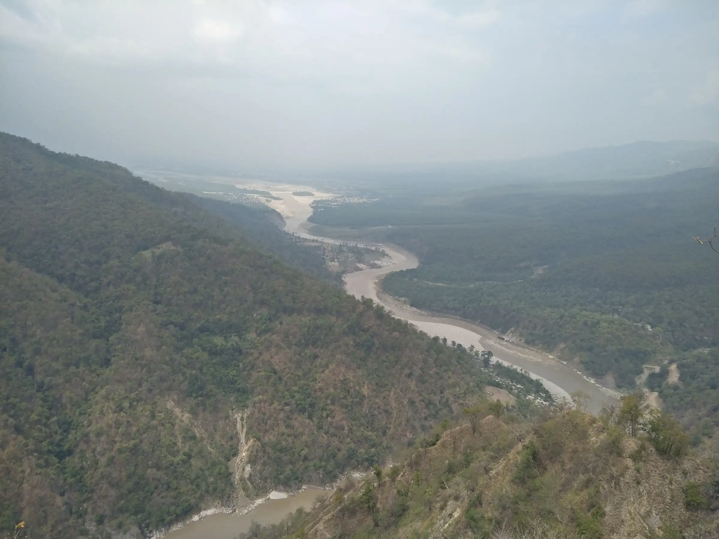
- Max altitude
- 910 m
- Days
- 1 day
- Distance
- 6 km
- Difficulty
- Easy
A pilgrimage walk, not a mountain trek: a paved footpath and stairs of about 2-3 km each way from the road-head to the temple. It is steep in places and very crowded during the Chaitra Navratri mela, but needs no trekking skill.
Photos
On the trail
The route
Day by day
Day 1 · highest point
Tunyas road-head (from Tanakpur by road) → Maa Purnagiri temple and back
780 m → 910 m → 780 m
Ups and downs
Altitude profile
Where it is
Map
Trailhead and high point only — not a recorded track. Use it with a proper map.
Weather
Next 5 days on the trail
Live forecast for the trailhead and the high point. Mountain weather changes fast — check again on the morning you start.
Trailhead · Tunyas road-head (Thuligad, also spelt Thulligad, Thuligarh, Thuligaarh)
at 780 mLoading forecast…
High point · Maa Purnagiri temple
at 910 mLoading forecast…
Each day: high / low °C · rain mm and chance · snow cm · wind km/h
Weather data: Open-Meteo.comModel forecast, not an official warning. For alerts follow IMD and the local administration.
Plan the trip
How to reach
- Trailhead
- Tunyas road-head (Thuligad, also spelt Thulligad, Thuligarh, Thuligaarh) (nearest town: Tanakpur)
- Nearest railway
- Tanakpur
- Nearest airport
- Pantnagar Airport (about 160 km)
- By road
- Tanakpur to the Thuligad / Tunyas road-head by taxi or bus (about 19-20 km); Delhi (Anand Vihar ISBT) to Tanakpur by bus or the Purnagiri Jan Shatabdi train
- Drive
- About 9 h from Delhi
Plan the trip
Permits and fees
We could not confirm the current permit rules and fees from an official source. Check with the local forest department or tourism office before you go.
Plan the trip
Cost
Self-guided
₹300–2,500
With an operator
₹1,500–4,000
Per person, ex-Tanakpur. No trek operator publishes a guided package for Purnagiri, so both ranges are estimates: self-guided covers a shared jeep or bus to the road-head and back, prasad and tea stalls on the path; the guided range assumes a private taxi with a local helper for the day. Mela-season taxi fares run higher.
Gear
Top picks for this trek
The gear that matters most on this route, chosen from its altitude, season and risks.
 Ad · affiliate link
 Ad · affiliate link
 Ad · affiliate link
 Ad · affiliate link
- Ad · affiliate link
 Ad · affiliate link
 Ad · affiliate link
 Ad · affiliate link
Store buttons open a search on that store, not a product we picked. As an Amazon Associate we earn from qualifying purchases. Photos show the kind of item, not a specific product. Affiliate disclosure
Packing checklist
Matched to this trek: altitude, season, days and the risks on the route.
Packed 0 of 18
Hot days in Mar–Apr: start at first light and carry extra water and ORS.
Tick each item as it goes in the bag.
Know before you go
Good to know
- Mobile network
- Not confirmed by a source; mobile signal is expected in Tanakpur, but do not rely on it on the path during mela crowds.
- Last ATM
- Tanakpur
- Nearest hospital
- Tanakpur for first care; health camps are set up along the footpath during the mela
- Water
- Tea stalls and shops line the path from Tanki up to Tunyas and the temple; carry water outside the mela season.
Highlights
- Darshan of Maa Purnagiri, one of the Shakti Peeths, where the navel (nabhi) of Mata Sati fell
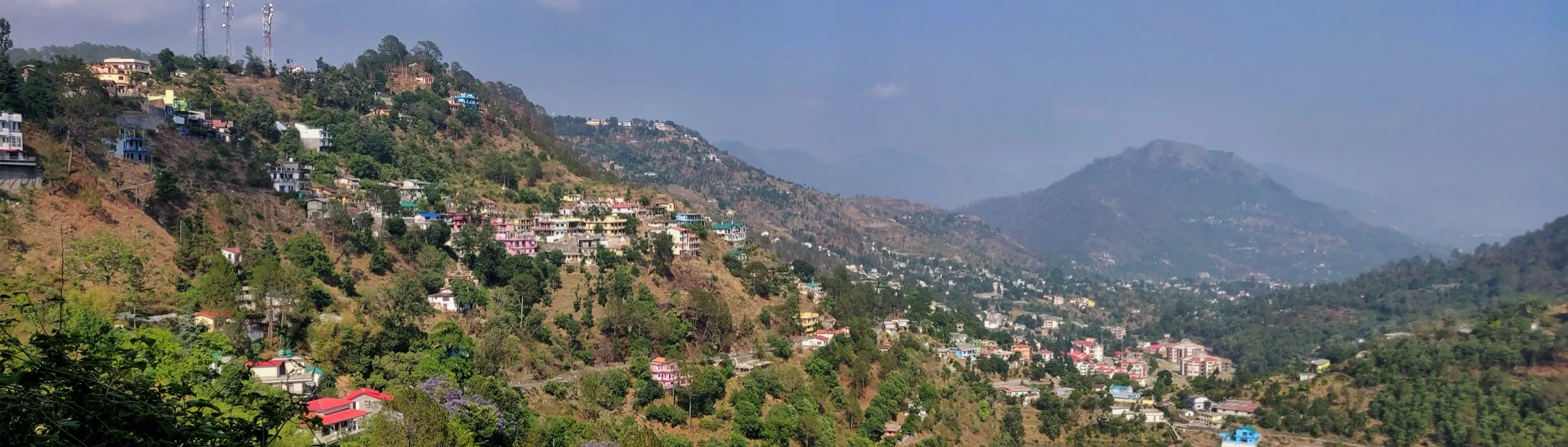
- A short stair climb through forest on the Annapurna (Punya Parvat) hill above the Sharda (Kali) river
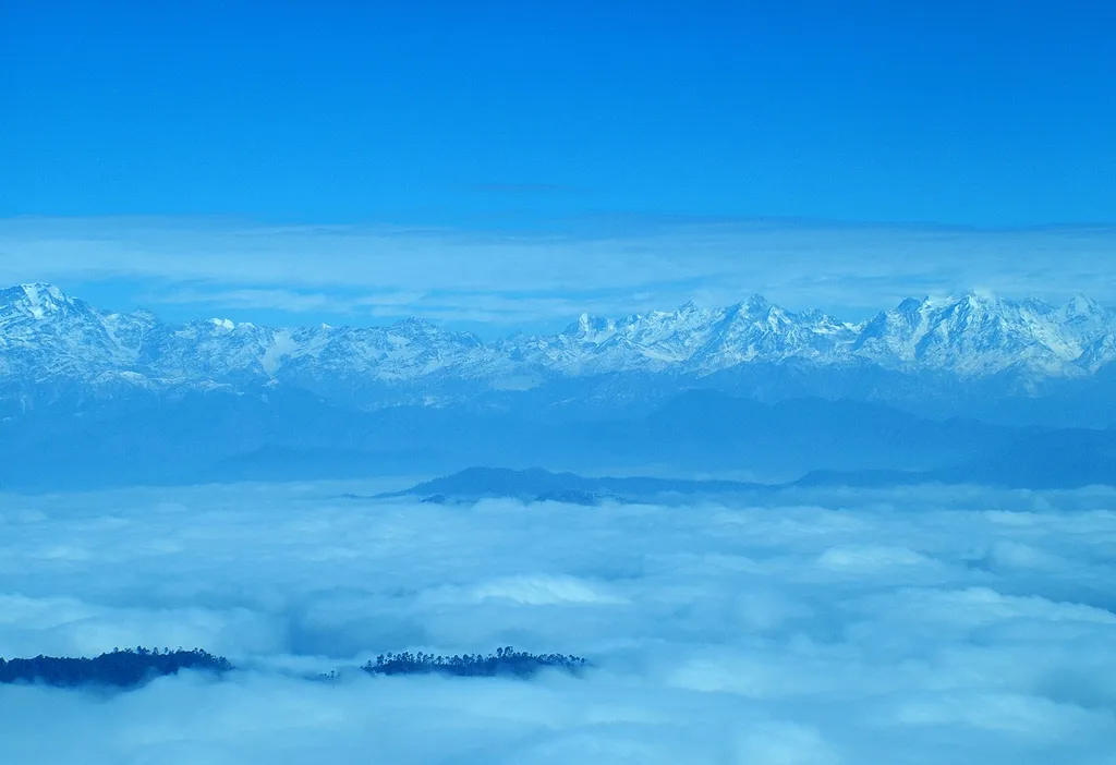
- Views from the hilltop down the Sharda river to Tanakpur and across to Nepal
- The Purnagiri mela, which begins at Vishuwat Sankranti around Chaitra Navratri (March-April) and runs for about forty days
Risks
- Very heavy crowds during the Chaitra Navratri mela (March-April); go early and keep children close on the stairs.
- Monsoon rain (July-September) can bring landslides on the hill road from Tanakpur; check road status before setting out.
- The final stretch is a steep flight of steps; take it slowly in the April-June heat and carry water.
- Sources disagree on the walk length (about 2 km or 3 km one way) because the motor road has been extended in stages; ask locally where vehicles stop.
Know before you go
Questions
Is Purnagiri a trek or just a temple visit?
It is a pilgrimage walk. Vehicles go from Tanakpur to the Thuligad / Tunyas road-head, and from there a footpath of stairs climbs about 2-3 km to the temple. Most devotees walk up and back in two to three hours.
How far is Purnagiri temple from Tanakpur?
About 20-22 km. The Champawat district page gives 20 km; the road covers most of it and the last 2-3 km is on foot.
Why is Purnagiri a Shakti Peeth?
When Mata Sati gave up her body at Daksha's yajna and Bhagwan Shiva carried her, parts of her sacred body fell at the places now worshipped as Shakti Peeths. At Purnagiri, on the Annapurna hill, her navel (nabhi) fell, and Mata is worshipped here as Maa Purnagiri.
When is the best time to visit Purnagiri?
The temple is visited throughout the year. Chaitra Navratri in March-April, when the Purnagiri mela is held, is the most auspicious and the most crowded time. October-November after the monsoon is pleasant and quieter.
What are the darshan timings at Purnagiri?
Temple-information sites give about 5 am to 5 pm in winter and 5 am to 7 pm in summer; timings change on festival days, so confirm in Tanakpur.
In an emergency
Save these numbers before you lose signal. Tap to call.
- 112All emergenciesIndia’s single emergency number — works in every state
- 108Ambulance
- 1077District disaster control room
You are in
District: ChampawatUttarakhand
- Nearest hospital
- Tanakpur for first care; health camps are set up along the footpath during the mela
- Last ATM
- Tanakpur
- Phone network
- Not confirmed by a source; mobile signal is expected in Tanakpur, but do not rely on it on the path during mela crowds.
Before you set off
- Tell someone your route and when you will be back.
- Carry a charged phone and a power bank.
- Download an offline map of the route.
- Turn back if the weather turns bad — the mountain will wait.
Questions about Purnagiri
No questions yet. Ask something and trekkers who have done it can answer.
Share your trek photo with #TreksAndTrails
I trekked this
Did Purnagiri look different from this page? Tell us what changed and we will check it.
Where this comes from
Sources
Last reviewed:
- Purnagiri | District Champawat, Government of Uttarakhand — District Administration Champawat (official)
- Purnagiri Temple — Bharatpedia
- Poornagiri — eRail.in
- Purnagiri Temple — Shubh Panchang
- पूर्णागिरी मंदिर - Purnagiri Temple — Bhakti Bharat
- Purnagiri hill — CPR Environmental Education Centre (Eco-heritage)
Photos: Utkarsh Nandan Oreya, CC BY-SA 4.0; TheOfficialHARSH, CC BY-SA 4.0