Parang La Trek
Lahaul and Spiti (Himachal Pradesh) and Leh (Ladakh), Himachal Pradesh & Ladakh
Opens without signal on this phone, with the map file and checklist. Saved for offline →
- Max altitude
- 5,580 m
- Days
- 12 days
- Distance
- 128 km
- Difficulty
- Challenging
A remote 8-day crossing that never drops below about 4,200 m, tops out at 5,580 m on Parang La with moraine, snowfields and a short glacier section on the north side, then has 18-21 km days on the Pare Chu riverbed with a waist-deep river crossing. Bikat Adventures takes only trekkers who have done a hard high-altitude trek before.
Photos
On the trail
The route
Day by day
Day 1
Manali → Kaza
2,050 m → 3,650 m
Day 2
Kaza → Chicham (acclimatisation, via Key monastery)
3,650 m → 4,270 m
Day 3
Chicham → Chicham (rest and acclimatisation)
4,270 m → 4,270 m
Day 4
Chicham (next to Kibber) → Thaltak meadow
4,270 m → 4,693 m
Day 5
Thaltak meadow → Borochin (Parang La base camp)
4,693 m → 5,100 m
Day 6 · highest point
Borochin → Kharsa Yongma (via Parang La)
5,100 m → 5,580 m → 4,850 m
Day 7
Kharsa Yongma → Kapapuche
4,850 m → 4,700 m
Day 8
Kapapuche → Kitpodansa
4,700 m → 4,550 m
Day 9
Kitpodansa → Chumik Shilde (via Norbu Sumdo)
4,550 m → 4,704 m
Day 10
Chumik Shilde → Kiangdom
4,704 m → 4,588 m
Day 11
Kiangdom → Karzok (Korzok), along Tso Moriri
4,588 m → 4,615 m
Day 12
Karzok → Leh
4,615 m → 3,500 m
Ups and downs
Altitude profile
Where it is
Map
Trailhead and high point only — not a recorded track. Use it with a proper map.
Weather
Next 5 days on the trail
Live forecast for the trailhead and the high point. Mountain weather changes fast — check again on the morning you start.
Trailhead · Kibber
at 4,270 mLoading forecast…
High point · Parang La pass
at 5,580 mLoading forecast…
Each day: high / low °C · rain mm and chance · snow cm · wind km/h
Weather data: Open-Meteo.comModel forecast, not an official warning. For alerts follow IMD and the local administration.
Plan the trip
How to reach
- Trailhead
- Kibber (nearest town: Kaza)
- Nearest railway
- Chandigarh (for Manali); there is no railway in Spiti or Ladakh
- Nearest airport
- Bhuntar (Kullu-Manali) for the start; Kushok Bakula Rimpochee Airport, Leh, for the finish
- By road
- Manali to Kaza over the Atal Tunnel and Kunzum La (about 200 km, 7-9 hours), then about 20 km on to Kibber or Chicham; Karzok to Leh at the end (about 211-240 km, 5-6 hours by shared or private vehicle)
- Drive
- About 8 h from Manali
Plan the trip
Permits and fees
We could not confirm the current permit rules and fees from an official source. Check with the local forest department or tourism office before you go.
Plan the trip
Cost
Self-guided
₹25,000–45,000
With an operator
₹35,000–58,000
Per person, ex-Manali (Bikat's fee is ex-Kaza to Karzok). Guided prices published October 2026: Himalayan Hikers ₹35,000 + 5% GST Manali to Manali; Trekup India ₹42,450 (list ₹55,000); Spiti Holiday Adventure ₹45,950 for a group departure; Bikat Adventures ₹55,000 + 5% GST, Kaza to Karzok. Karzok-Leh transport is usually extra. Self-guided is our estimate for a small group sharing a local guide, horses or porters for the 8 trekking days, food and fuel, shared transport Manali-Kaza and Karzok-Leh, and Leh environment and wildlife fees; there are no villages or shops on the route.
Gear
Top picks for this trek
The gear that matters most on this route, chosen from its altitude, season and risks.
 Ad · affiliate link
 Ad · affiliate link
 Ad · affiliate link
 Ad · affiliate link
 Ad · affiliate link
 Ad · affiliate link
 Ad · affiliate link
 Ad · affiliate link
Store buttons open a search on that store, not a product we picked. As an Amazon Associate we earn from qualifying purchases. Photos show the kind of item, not a specific product. Affiliate disclosure
Packing checklist
Matched to this trek: altitude, season, days and the risks on the route.
Packed 0 of 34
Nights near 5,580 m can drop close to freezing even in summer. Pack one more warm layer than you think.
Tick each item as it goes in the bag.
Know before you go
Good to know
- Mobile network
- No mobile network on the trek. Bikat Adventures reports no connectivity from Batal on the Manali-Kaza road until Leh; only postpaid or J&K/Ladakh prepaid SIMs work in Leh.
- Last ATM
- Kaza
- Nearest hospital
- Kaza for first care at the start; Leh at the finish. The middle of the route is several days' walk from any road.
- Water
- Streams at most campsites and the Pare Chu river; there is no water between Chumik Shilde and Kiangdom. Treat or boil all water.
Highlights
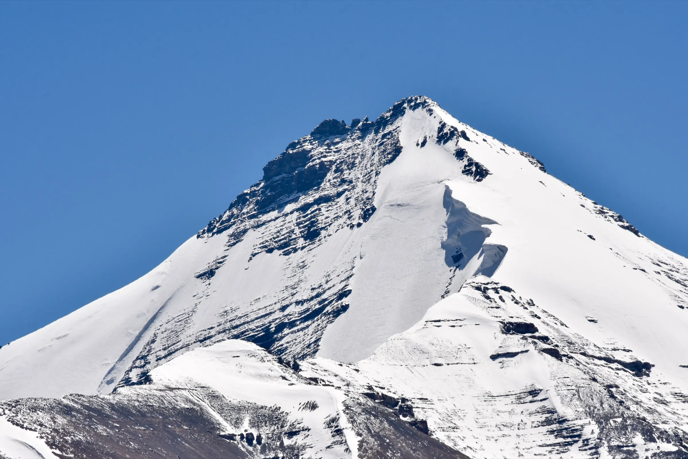
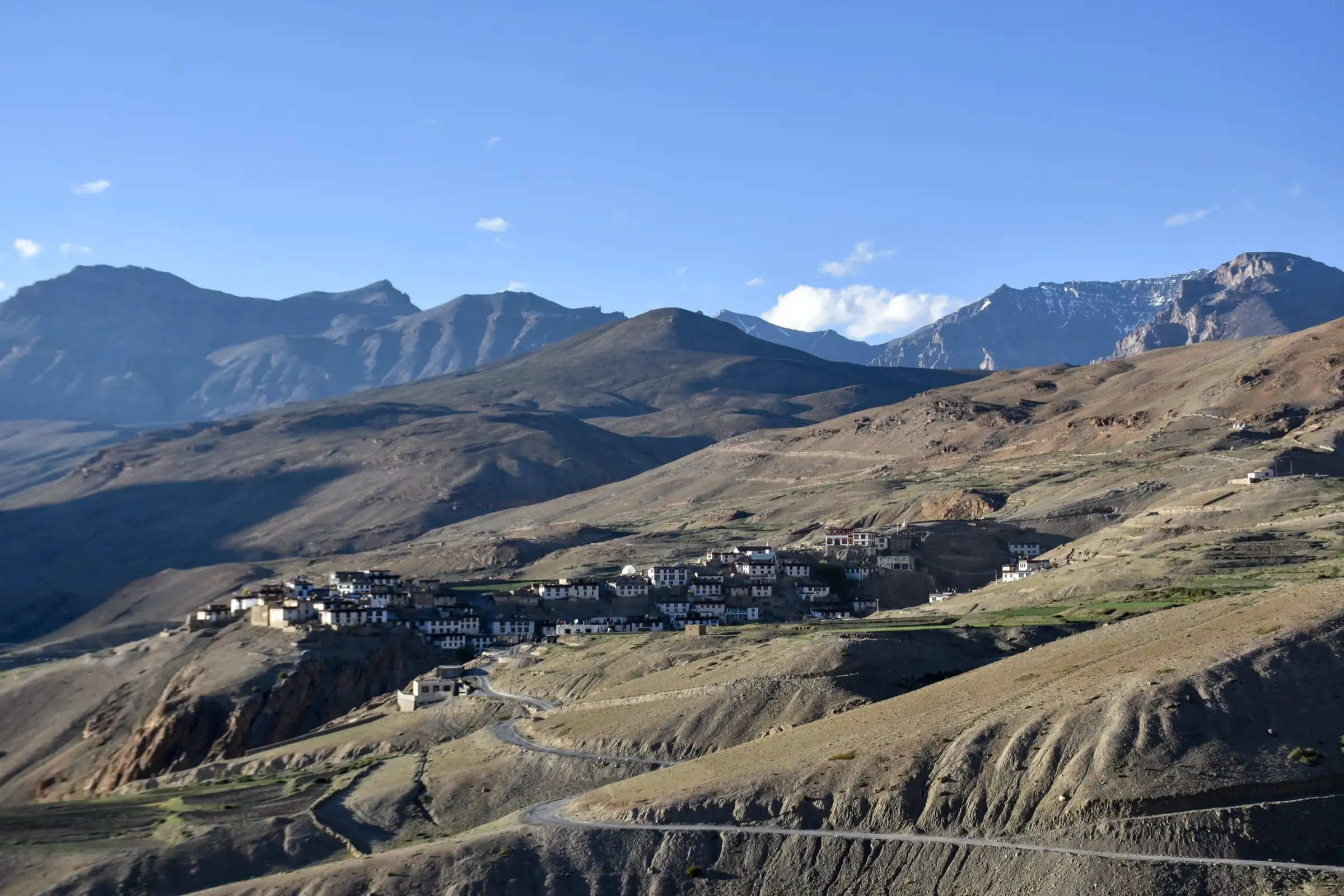
- Crossing the 5,580 m Parang La, the old trade pass between Spiti and Ladakh
- Several days walking the wide Pare Chu valley, a river that flows into Tibet and back into India
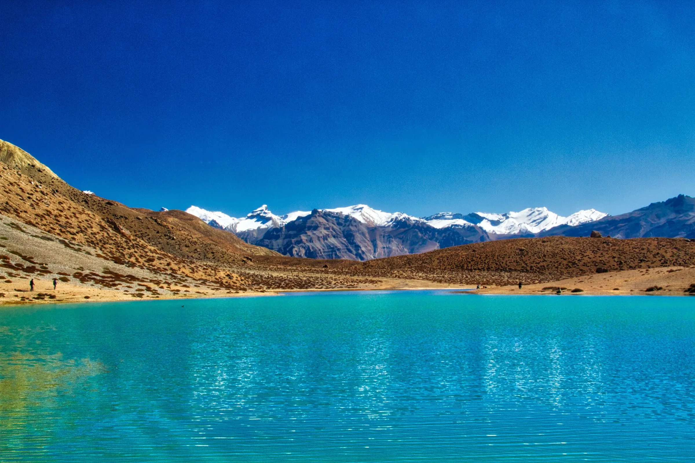
- The final day along the shore of Tso Moriri to Karzok village, with views of Chamser Kangri and Lungser Kangri
- Wild asses (kiang) at Kiangdom and blue sheep near Thaltak
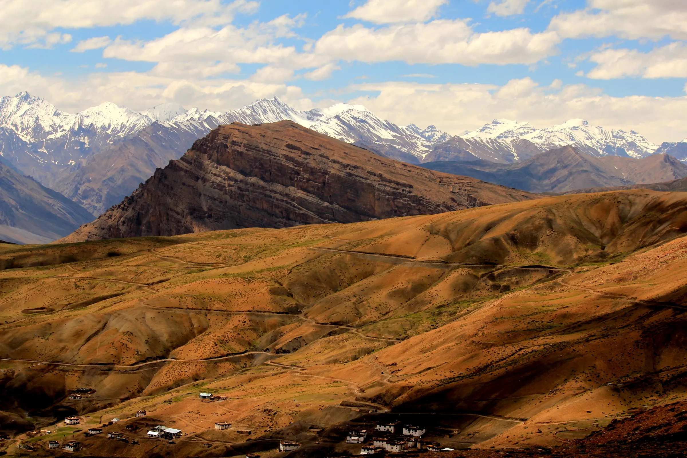
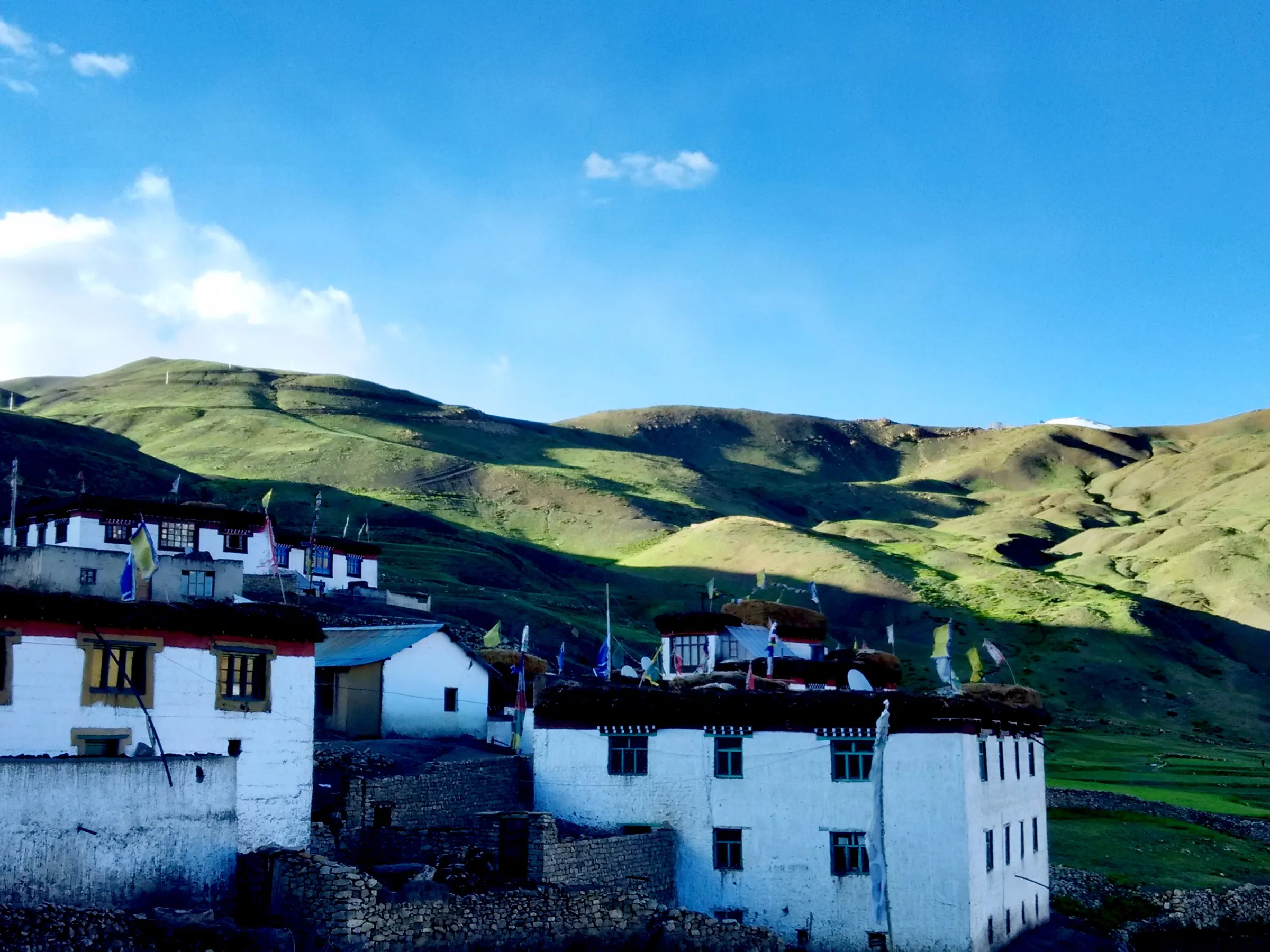
- Kibber and Chicham, high Spiti villages, and the Chicham bridge over a deep gorge
Risks
- Altitude: the whole trek is above about 4,200 m and the pass is 5,580 m. Acute mountain sickness is the main danger; operators build in two or three acclimatisation days in Kaza and Chicham.
- Pare Chu crossing near Norbu Sumdo: the water can reach waist level and rises by midday, so groups cross early and as a human chain. Many smaller streams must be waded.
- The descent from Thaltak into the gorge is a rockfall zone with loose stones; the north side of the pass has a short glacier crossing.
- Very remote: no villages, shops or mobile network for about 8 days, and evacuation is by foot or horse back to a road.
- Since June 2026 the Lahaul-Spiti DDMA requires every trekking group to register its route, team and emergency contacts with an authorised officer before starting and to check out on return; unauthorised trekking can be fined, and solo trekking is discouraged.
- The Lahaul-Spiti district administration bans all trekking each winter (latest reported order 27 Nov 2024); go only between late June and mid-September.
- Night temperatures can fall to -15 °C or lower at the high camps even in summer, according to Bikat Adventures.
Know before you go
Questions
How difficult is the Parang La trek?
It is one of the hardest trekking routes in Himachal. Operators rate it difficult: the pass is about 5,580 m, days on the Pare Chu riverbed are 18-21 km, and there is a deep river crossing. Bikat Adventures accepts only trekkers who have already done a hard high-altitude trek and can run 5 km in 25-30 minutes.
When is the best time to do Parang La?
From late June to mid-September. German Wikipedia says the pass can be crossed only from June to September, and the Lahaul-Spiti administration bans trekking in winter.
Where does the Parang La trek start and end?
It usually starts at Kibber or neighbouring Chicham, about 20 km from Kaza in Spiti, and ends at Karzok (Korzok) on Tso Moriri in Ladakh, from where it is a 5-6 hour drive to Leh. Some operators run it the other way, from Karzok to Kibber.
Do I need a permit for Parang La?
Yes, several. On the Himachal side the Lahaul-Spiti DDMA has required prior registration of every trek since June 2026, and the route starts in Spiti's protected areas. On the Ladakh side the Leh district administration collects an environmental fee, Red Cross fund and wildlife fee online at lahdclehpermit.in, and foreigners register as overseas visitors. Guided packages include the permits. We could not find current official fee amounts, so check locally before you go.
Is there mobile network or an ATM on the trek?
No. The last ATM is in Kaza, and Bikat Adventures reports no phone connectivity from Batal until Leh, so carry enough cash and tell family your dates.
In an emergency
Save these numbers before you lose signal. Tap to call.
- 112All emergenciesIndia’s single emergency number — works in every state
- 108Ambulance
- 1077District disaster control room
You are in
District: Lahaul and Spiti (Himachal Pradesh) and Leh (Ladakh)Himachal Pradesh · Ladakh
- Nearest hospital
- Kaza for first care at the start; Leh at the finish. The middle of the route is several days' walk from any road.
- Last ATM
- Kaza
- Phone network
- No mobile network on the trek. Bikat Adventures reports no connectivity from Batal on the Manali-Kaza road until Leh; only postpaid or J&K/Ladakh prepaid SIMs work in Leh.
Before you set off
- Tell someone your route and when you will be back.
- Carry a charged phone and a power bank.
- Download an offline map of the route.
- Turn back if the weather turns bad — the mountain will wait.
Questions about Parang La
No questions yet. Ask something and trekkers who have done it can answer.
Share your trek photo with #TreksAndTrails
I trekked this
Did Parang La look different from this page? Tell us what changed and we will check it.
Where this comes from
Sources
Last reviewed:
- Parang La Expedition — Bikat Adventures
- Parang La Pass Trek — Himalayan Hikers
- Parang La Trek - Complete Guide — Trekup India
- Parang La Trek 2026 - Cost, Itinerary & Difficulty Level — Himalaya Shelter
- Parang La Trek - Spiti to Ladakh — Spiti Holiday Adventure
- Tso Moriri to Kibber trek — Ju-Leh Adventure
- Parang La — Wikipedia (German)
- Trekkers must register before hitting Lahaul-Spiti trails now — Newswav (report on Lahaul-Spiti DDMA directive)
- Winter sets in, trekking, climbing banned in Lahaul-Spiti dist — The Tribune
- Leh District Tourist Management System — District Administration Leh / LAHDC Leh (official)
Photos: Timothy Gonsalves, CC BY-SA 4.0; Ingo Mehling, CC BY-SA 3.0; Timothy Gonsalves, CC BY-SA 4.0