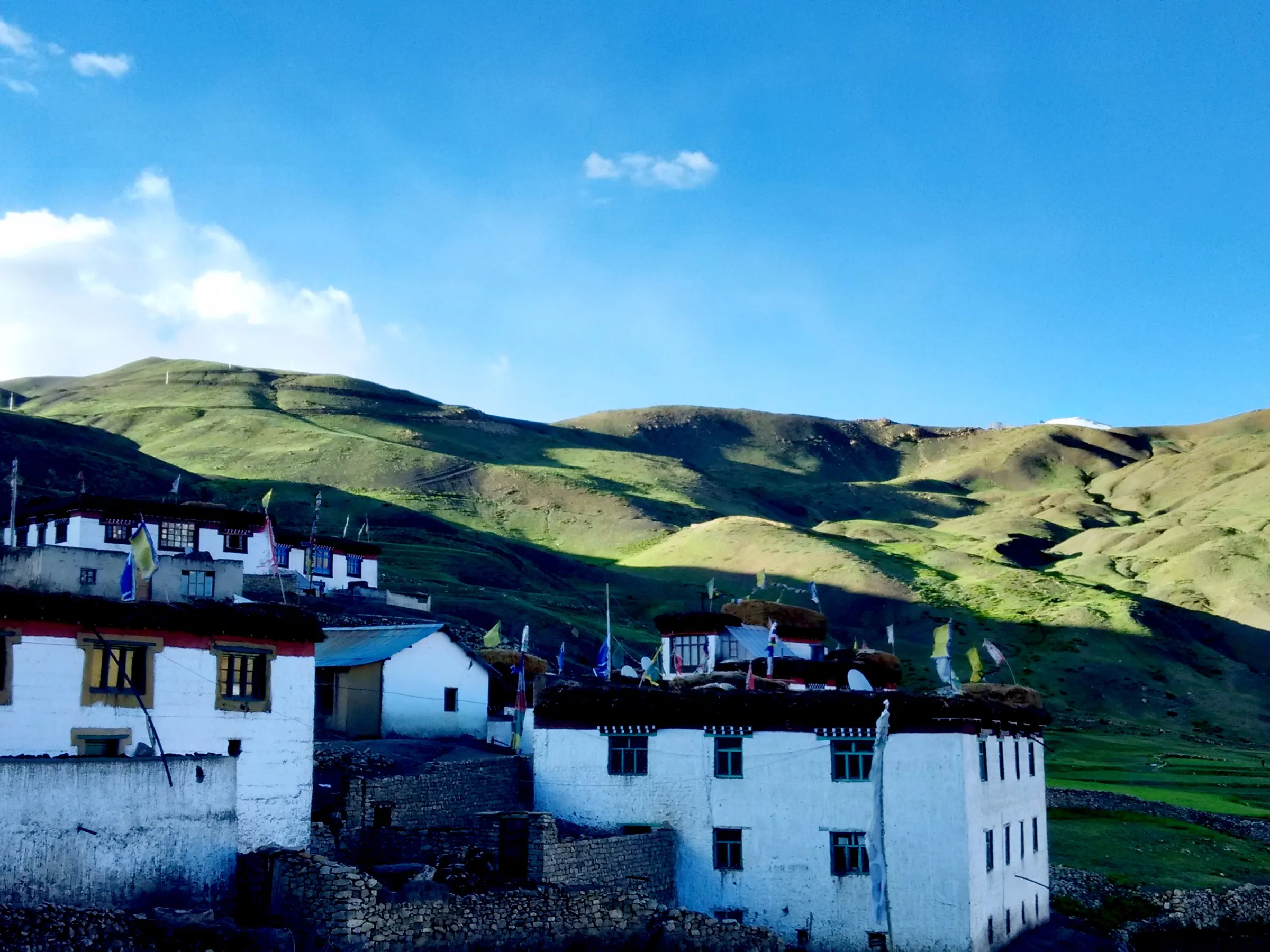
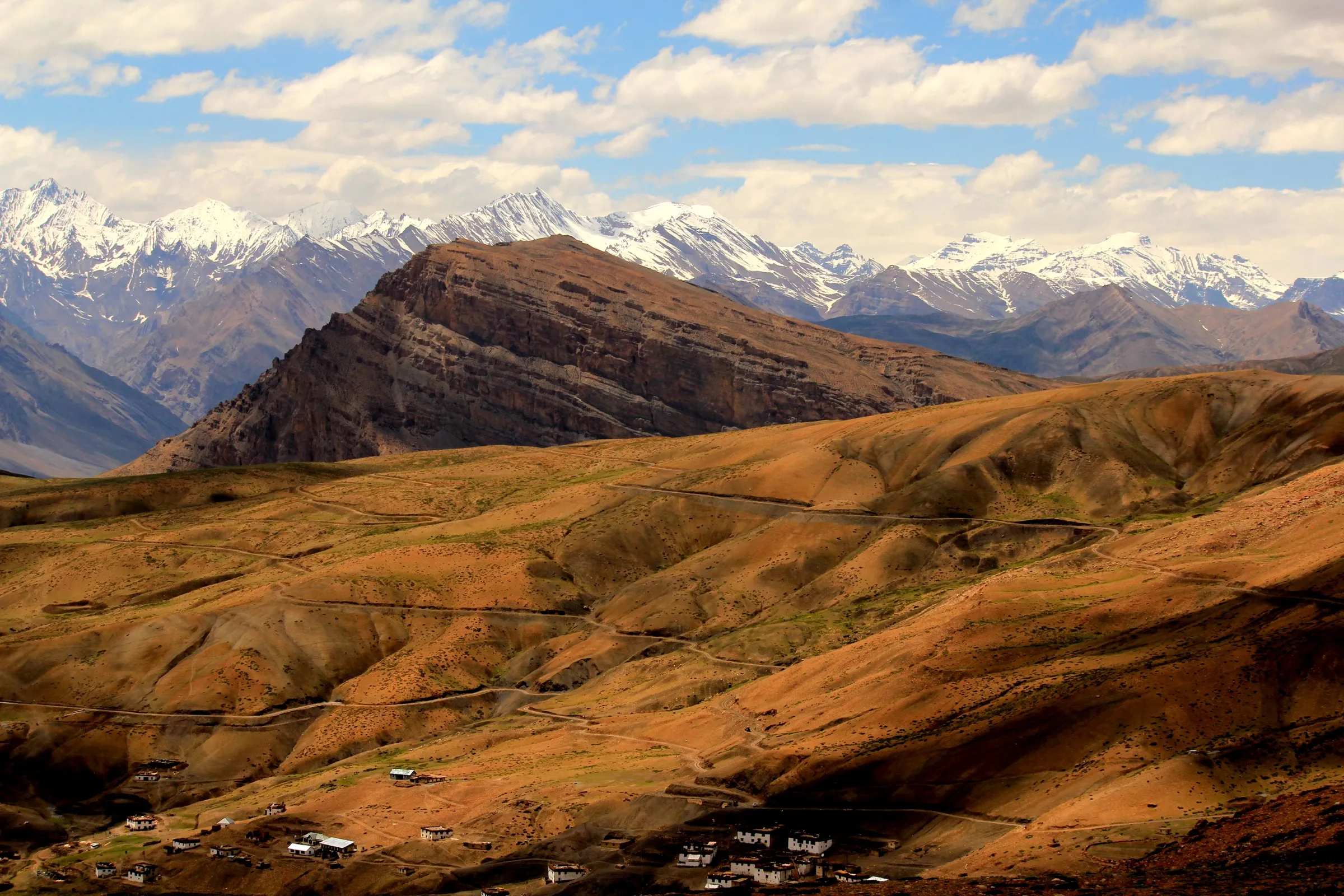
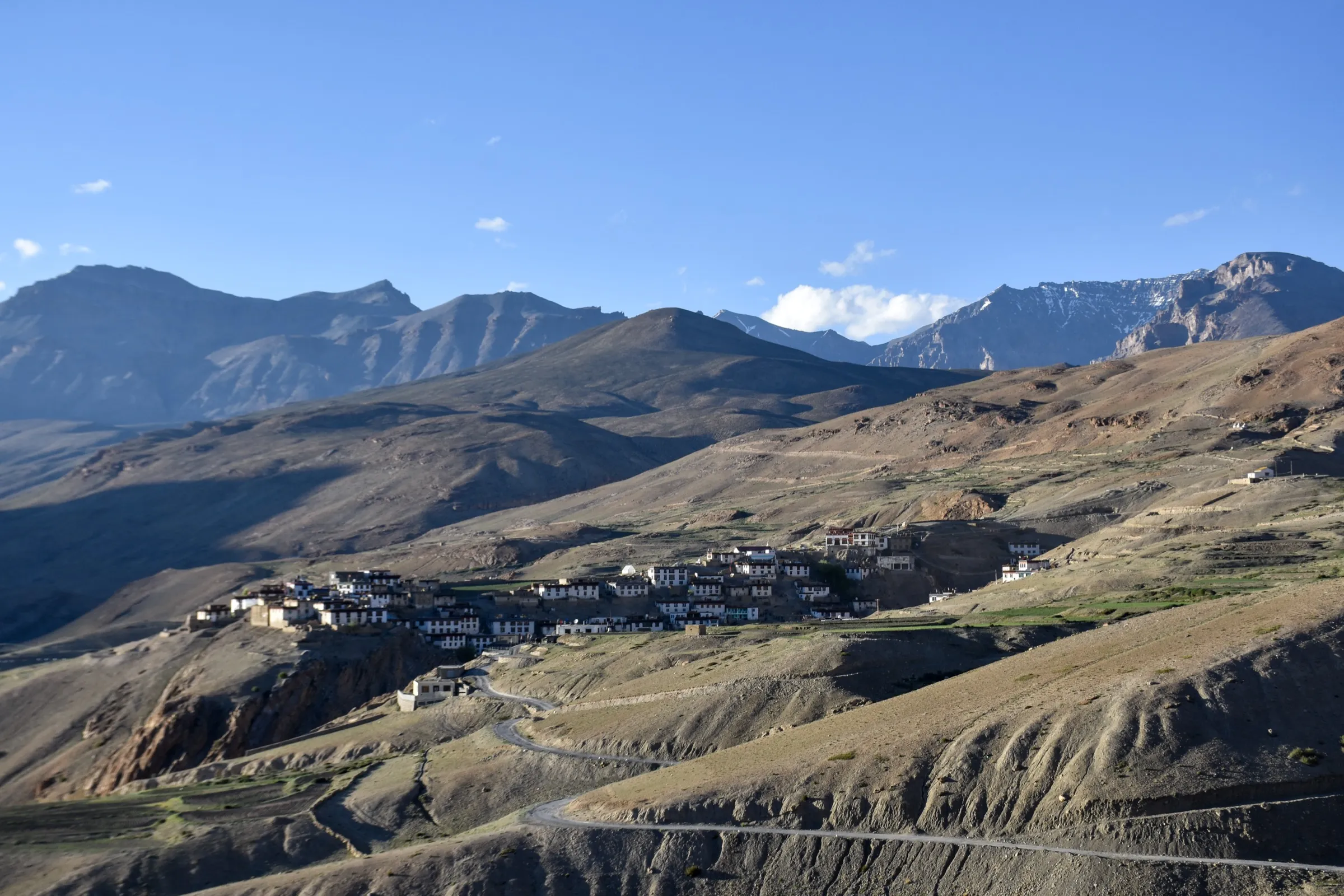
Dhankar Lake Trek
Lahaul and Spiti, Himachal Pradesh
Opens without signal on this phone, with the map file and checklist. Saved for offline →
- Max altitude
- 4,140 m
- Days
- 1 day
- Distance
- 4 km
- Difficulty
- Easy
Only about 2 km each way, but the path climbs some 250-300 m almost without a break on loose gravel and scree, narrow and exposed in places, at over 3,900 m where most people feel breathless.
Photos
On the trail
The route
Day by day
Day 1 · highest point
Dhankar (New Dhankar Monastery) → Dhankar (via Dhankar Lake)
3,890 m → 4,140 m → 3,890 m
Ups and downs
Altitude profile
Where it is
Map
Trailhead and high point only — not a recorded track. Use it with a proper map.
Weather
Next 5 days on the trail
Live forecast for the trailhead and the high point. Mountain weather changes fast — check again on the morning you start.
Trailhead · Dhankar (New Dhankar Monastery)
at 3,890 mLoading forecast…
High point · Dhankar Lake
at 4,140 mLoading forecast…
Each day: high / low °C · rain mm and chance · snow cm · wind km/h
Weather data: Open-Meteo.comModel forecast, not an official warning. For alerts follow IMD and the local administration.
Plan the trip
How to reach
- Trailhead
- Dhankar (New Dhankar Monastery) (nearest town: Kaza)
- Nearest railway
- Shimla (narrow gauge); Kalka or Chandigarh for broad gauge
- Nearest airport
- Bhuntar (Kullu-Manali) Airport
- By road
- Kaza (about 33-34 km down the Spiti valley, then the 9 km side road up to Dhankar); Manali via Atal Tunnel and Kunzum La (road open only from about late May to mid-October); Shimla via Rampur, Reckong Peo, Nako and Tabo (the all-season route)
- Drive
- About 7 h from Manali
Plan the trip
Permits and fees
We could not confirm the current permit rules and fees from an official source. Check with the local forest department or tourism office before you go.
Plan the trip
Cost
Self-guided
₹300–3,500
With an operator
₹1,500–5,000
Per person, ex-Kaza. No operator we found publishes a standalone price for this hike: it is sold only inside multi-day Spiti tours (e.g. Spiti Ecosphere's Himalayan Lakes & Highland Desert Trek includes a hike to Dhankar Lake). Both ranges are estimates: self-guided = bus or shared taxi from Kaza (or a private taxi) and no fees, since there is no entry fee for the lake; guided = a local guide from Dhankar or Kaza for half a day plus a share of the taxi.
Gear
Top picks for this trek
The gear that matters most on this route, chosen from its altitude, season and risks.
 Ad · affiliate link
 Ad · affiliate link
 Ad · affiliate link
 Ad · affiliate link
 Ad · affiliate link
 Ad · affiliate link
 Ad · affiliate link
- Ad · affiliate link
Store buttons open a search on that store, not a product we picked. As an Amazon Associate we earn from qualifying purchases. Photos show the kind of item, not a specific product. Affiliate disclosure
Packing checklist
Matched to this trek: altitude, season, days and the risks on the route.
Packed 0 of 28
Nights near 4,140 m can drop close to freezing even in summer. Pack one more warm layer than you think.
Tick each item as it goes in the bag.
Know before you go
Good to know
- Mobile network
- No network at the lake. BSNL may work in Dhankar village; Airtel and Jio work only in and around Kaza.
- Last ATM
- Kaza
- Nearest hospital
- Kaza (civil hospital) for first care; serious cases go to Shimla, Kullu or Manali
- Water
- None reliable on the trail and no shops at the lake; carry all your water from Dhankar. The lake is the village's water source, so do not wash or bathe in it.
Highlights
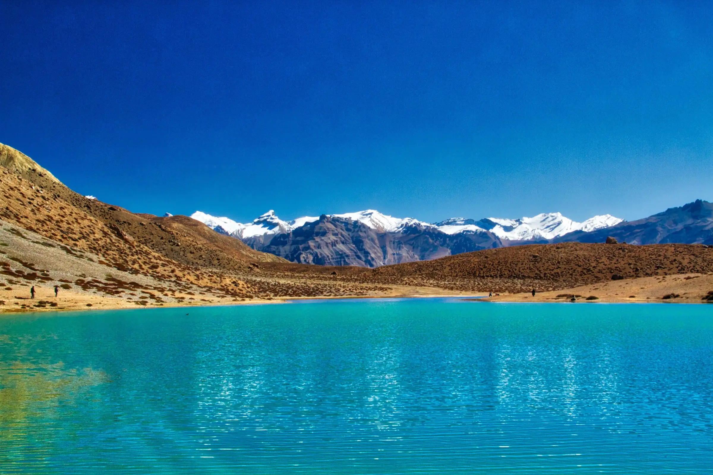
- A turquoise high-altitude lake at about 4,140 m, reached in a single morning from Dhankar village
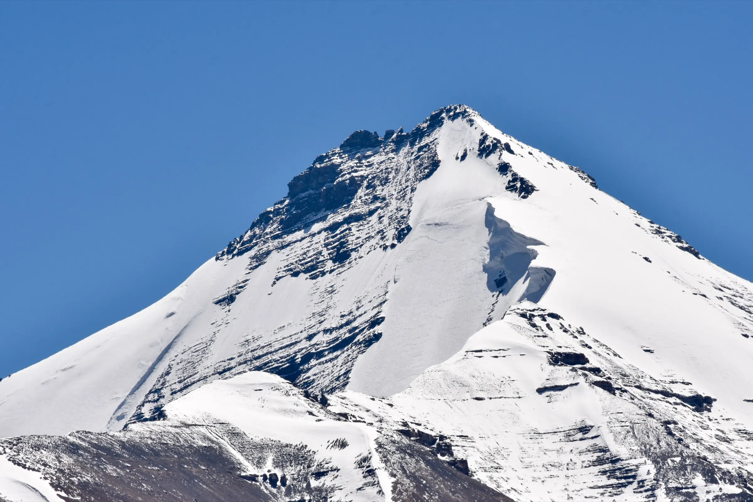
- Views of Manirang (about 6,593 m) and other snow peaks from the lake shore
- Looking back down on the cliff-top Dhankar Monastery and fort above the meeting of the Spiti and Pin rivers
- Few visitors: most travellers stop at the monastery and never climb to the lake
Risks
- Narrow, steep stretches with loose gravel and a drop on one side; wear trekking shoes with good grip, never sandals.
- Altitude: the hike starts near 3,900 m and climbs to about 4,140 m; spend a night or two acclimatising in Spiti before you go and turn back if you get a headache or nausea.
- No trees or shade and harsh sun; wind picks up in the afternoon, so start early and carry a hat, sunscreen and water.
- Winter (about November to April): snow on the trail, temperatures down to about -15 °C and the lake frozen; one guide calls the lake inaccessible then, others say it can be attempted depending on snow. The Manali road (Kunzum La) is closed in that season.
- Camping right beside the lake is not allowed; it is the village's water source and is held sacred by the people of Dhankar.
Know before you go
Questions
How long is the Dhankar Lake trek and how much time does it take?
About 2 km each way from the new Dhankar Monastery, climbing roughly 250-300 m. Most people reach the lake in 1 to 2 hours and are back in Dhankar about 3 hours after starting; very fit walkers do it faster, slow walkers can take longer.
Is the Dhankar Lake trek difficult?
It is short but steep. Guides rate it easy to moderate: the path is mostly uphill, narrow and on loose gravel in places, and the altitude (over 4,000 m) makes you breathless. Anyone reasonably fit and acclimatised can do it slowly with rests.
What is the best time to visit Dhankar Lake?
June to September, when both roads into Spiti are open and the trail is free of snow (some guides include May). In winter the lake freezes and the trail can be under snow; check with locals in Dhankar before trying.
Do I need a permit or guide for Dhankar Lake?
There is no entry fee for the lake, and a guide is not mandatory: the trail starts across the road from the new monastery and there is only one path. We could not find a current official notice on permits, so foreign nationals in particular should check Inner Line Permit rules for Spiti locally.
Can I camp at Dhankar Lake?
Not on the lake shore: it supplies water to Dhankar village and locals regard it as sacred. Most visitors do it as a half-day hike and stay in Dhankar, Tabo or Kaza.
In an emergency
Save these numbers before you lose signal. Tap to call.
- 112All emergenciesIndia’s single emergency number — works in every state
- 108Ambulance
- 1077District disaster control room
You are in
District: Lahaul and SpitiHimachal Pradesh
- Nearest hospital
- Kaza (civil hospital) for first care; serious cases go to Shimla, Kullu or Manali
- Last ATM
- Kaza
- Phone network
- No network at the lake. BSNL may work in Dhankar village; Airtel and Jio work only in and around Kaza.
Before you set off
- Tell someone your route and when you will be back.
- Carry a charged phone and a power bank.
- Download an offline map of the route.
- Turn back if the weather turns bad — the mountain will wait.
Questions about Dhankar Lake
No questions yet. Ask something and trekkers who have done it can answer.
Share your trek photo with #TreksAndTrails
I trekked this
Did Dhankar Lake look different from this page? Tell us what changed and we will check it.
Where this comes from
Sources
Last reviewed:
- Dhankar Lake Trek (documented trek) — Indiahikes
- Dhankar Lake — Wikipedia
- Dhankar Lake Travel Guide – A Hidden Gem of Spiti Valley — Vargis Khan
- Hiking to Dhankar Lake Hike in Spiti Valley: A Practical Guide — Laure Wanders
- Dhankar Lake Trek Spiti: Route, Altitude & Tips — TrekGo
- Dhankar Lake | Spiti - What to Expect | Timings | Tips — MakeMyTrip
- Himalayan Lakes & Highland Desert Trek — Spiti Ecosphere
Photos: Ayepee99, CC BY-SA 4.0; Sumita Roy Dutta, CC BY-SA 3.0; Daniel Romanson, CC0