Balang Ri Trek
Lahaul and Spiti, Himachal Pradesh
Opens without signal on this phone, with the map file and checklist. Saved for offline →
- Max altitude
- 4,953 m
- Satellite terrain suggests about 4,719 m
- Days
- 1 day
- Distance
- 8.1 km
- Difficulty
- Moderate
Technically easy, well-marked day hike of about 8 km, but it climbs to about 4,950 m: the thin air makes the steady ascent tiring and two short cliff-side stretches and a steep, exposed final climb need care. Acclimatise for 1-2 nights in Kaza or Demul first.
Photos
On the trail
The route
Day by day
Day 1 · highest point
Demul Stupa → Demul village (via Balang Ri top)
4,519 m → 4,953 m → 4,320 m
Ups and downs
Altitude profile
Where it is
Map
Trailhead and high point only — not a recorded track. Use it with a proper map.
Weather
Next 5 days on the trail
Live forecast for the trailhead and the high point. Mountain weather changes fast — check again on the morning you start.
Trailhead · Demul Stupa (above Demul village)
at 4,519 mLoading forecast…
High point · Balang Ri top (Balari Top)
at 4,953 mLoading forecast…
Each day: high / low °C · rain mm and chance · snow cm · wind km/h
Weather data: Open-Meteo.comModel forecast, not an official warning. For alerts follow IMD and the local administration.
Plan the trip
How to reach
- Trailhead
- Demul Stupa (above Demul village) (nearest town: Kaza)
- Nearest railway
- Shimla (narrow gauge); Chandigarh for broad gauge
- Nearest airport
- Bhuntar (Kullu-Manali) Airport
- By road
- Kaza to Demul Stupa, about 27 km (1 to 1.5 hours) via the Demul turn-off near Lidang on the Kaza-Tabo road; Manali to Kaza via Kunzum La (open only about mid-May to mid-October); Shimla to Kaza via Rampur, Kinnaur and Tabo, turning off at Lidang for Demul
- Drive
- About 9 h from Manali
Plan the trip
Permits and fees
We could not confirm the current permit rules and fees from an official source. Check with the local forest department or tourism office before you go.
Plan the trip
Cost
Self-guided
₹1,000–3,500
With an operator
₹2,500–5,000
Per person, ex-Kaza. No trek operator sells Balang Ri as a guided package; Indiahikes and Trek The Himalayas publish it as a free self-guided day hike. Self-guided is an estimate from published local prices: the daily Kaza-Demul HRTC bus (about Rs 50-80 each way) and a night in a Demul community homestay with dinner and breakfast (about Rs 800-1,200, Discover with Dheeraj), or a share of a Kaza taxi day trip (about Rs 2,000-3,000 per vehicle). The guided range is our estimate for adding a local guide arranged through a Demul or Kaza homestay; no guide fee is published, so confirm it locally.
Gear
Top picks for this trek
The gear that matters most on this route, chosen from its altitude, season and risks.
 Ad · affiliate link
 Ad · affiliate link
 Ad · affiliate link
 Ad · affiliate link
 Ad · affiliate link
 Ad · affiliate link
 Ad · affiliate link
- Ad · affiliate link
Store buttons open a search on that store, not a product we picked. As an Amazon Associate we earn from qualifying purchases. Photos show the kind of item, not a specific product. Affiliate disclosure
Packing checklist
Matched to this trek: altitude, season, days and the risks on the route.
Packed 0 of 29
Nights near 4,953 m can drop close to freezing even in summer. Pack one more warm layer than you think.
Tick each item as it goes in the bag.
Know before you go
Good to know
- Mobile network
- Kaza has mobile coverage; Demul has no cellular network (travel guides say only a satellite phone with the village head), and there is none on the trail.
- Last ATM
- Kaza (Demul has no ATM and UPI may not work; carry cash)
- Nearest hospital
- Kaza for the nearest hospital; descend at once for altitude sickness. Serious cases go to Manali or Shimla, a full day's drive.
- Water
- None on the trail and no food stalls; carry 2-3 litres of water, as the whole route is exposed.
Highlights
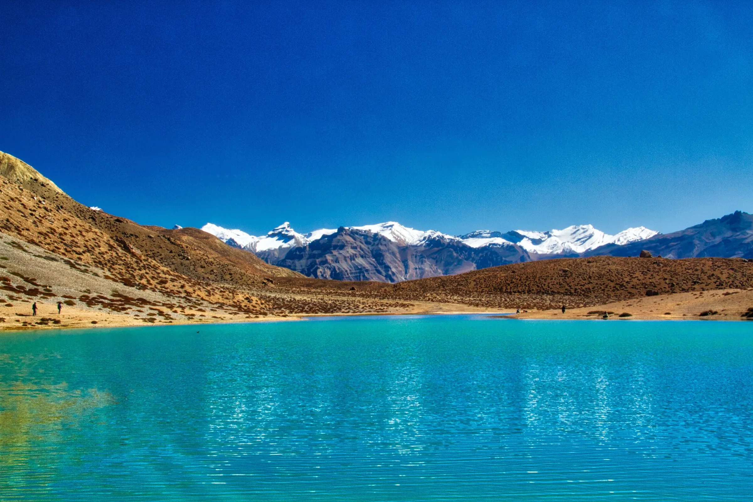
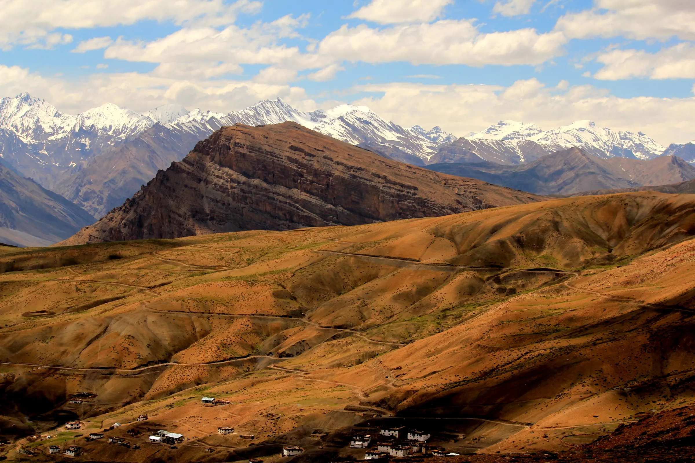
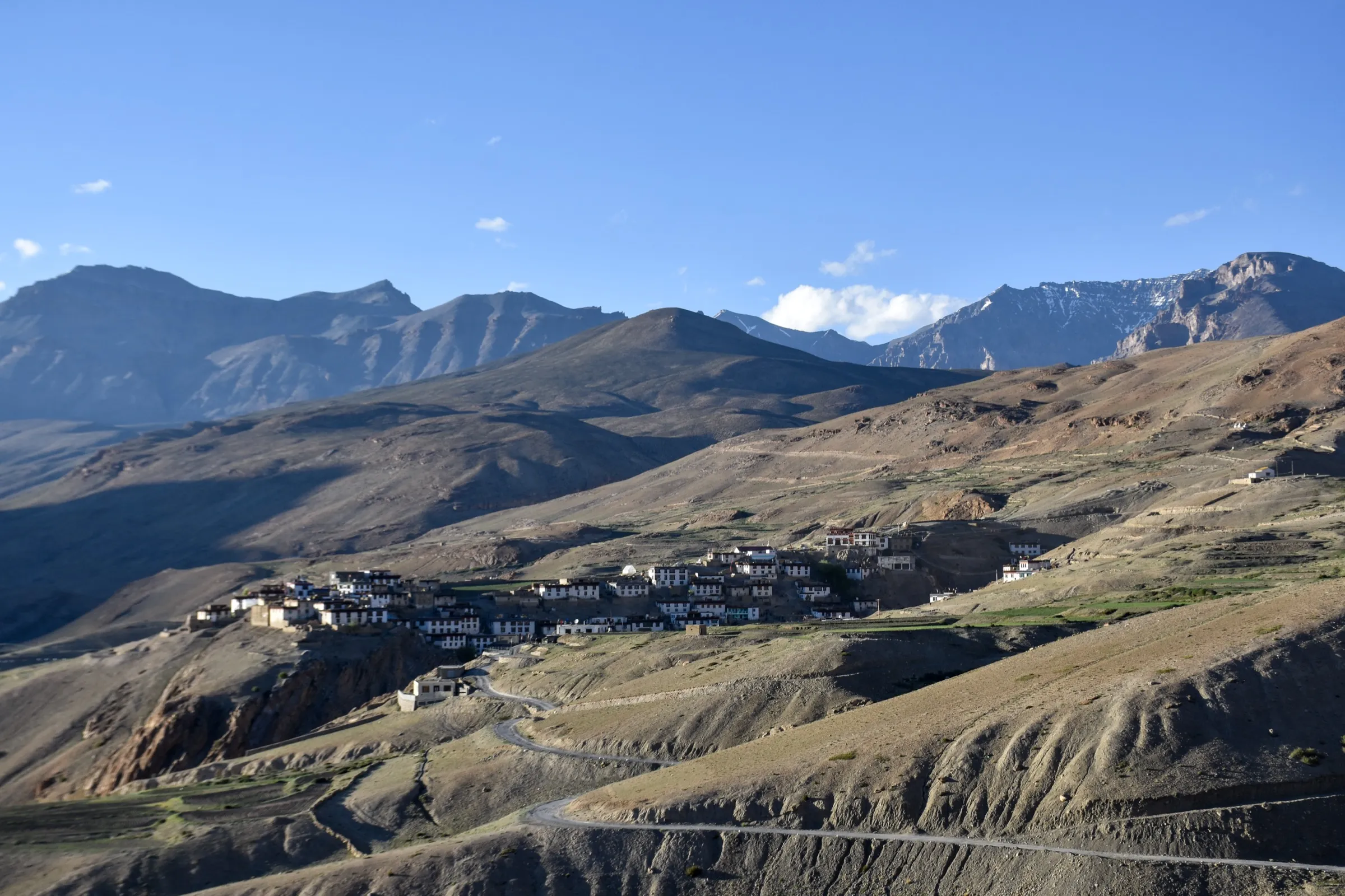
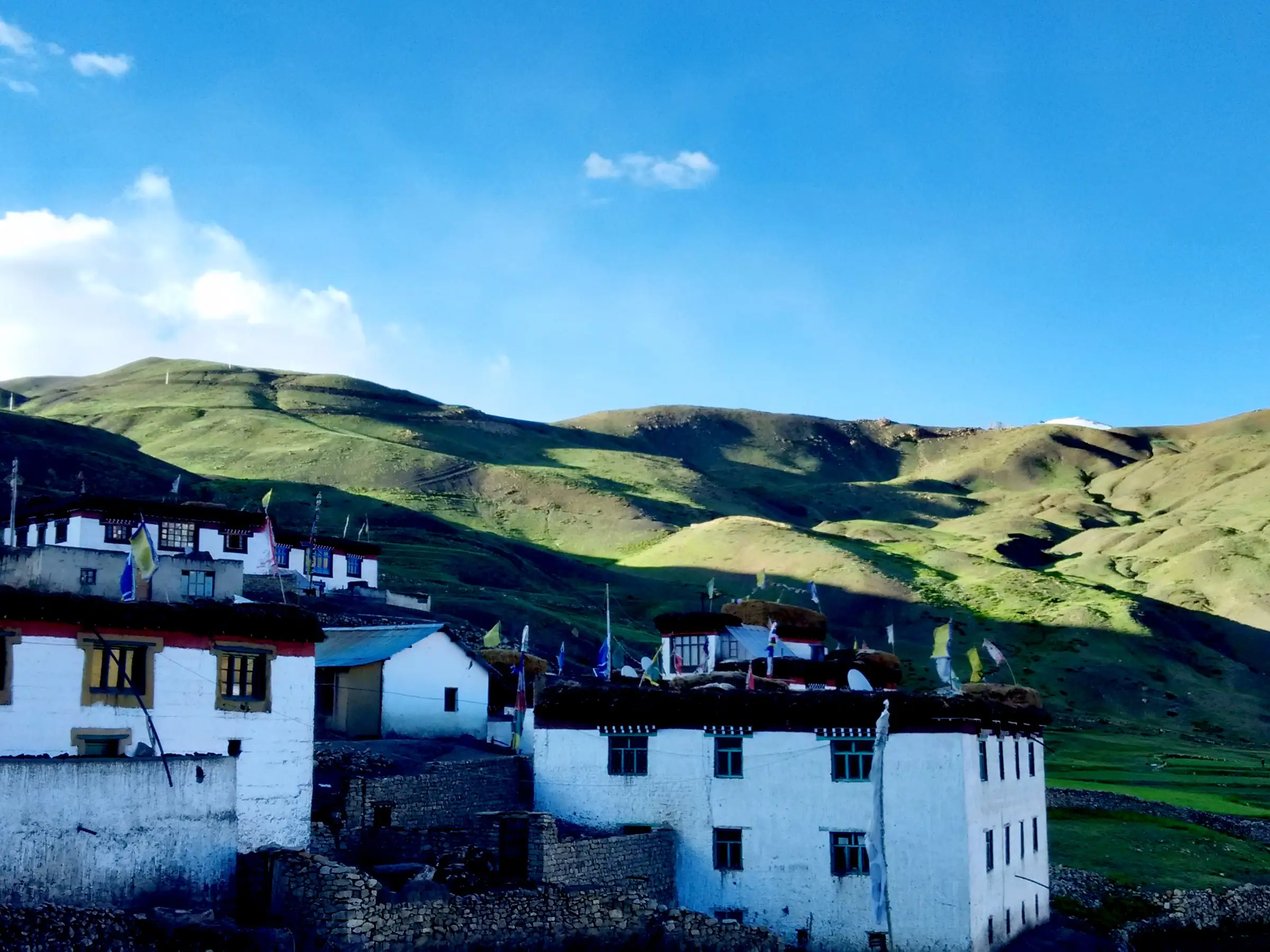
- A 360° view from about 4,950 m over up to 18 Spiti villages, including Demul, Komic, Langza, Kibber, Dhankar and Kaza
- The Spiti, Pin and Lingti river valleys and the Key, Dhankar and Tangyud monasteries seen from one ridge-top
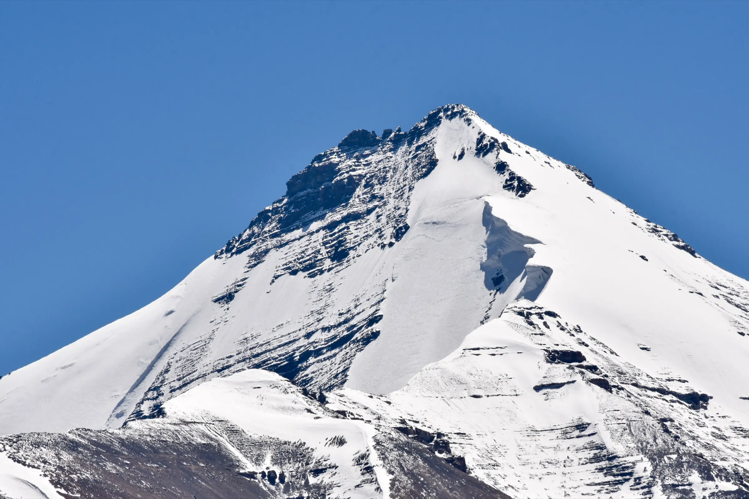
- Chau Chau Kang Nilda and Kanamo peaks on the skyline
- A small gompa and prayer flags at the top; in August Demul villagers climb here during the Namkhan festival to put up new prayer flags
- A stay in Demul's community homestays, where households take turns hosting trekkers
Risks
- Altitude: the top is near 4,950 m. Spend 1-2 nights in Kaza or Demul first, climb slowly and turn back if you get a headache, nausea or breathlessness at rest.
- Two short cliff-side sections (about 20 m each) and a steep, exposed final climb; take care in wind or wet weather.
- Late July and August rain can make the trail slippery and damage the unpaved road to Demul; check road status at the Kaza HRTC bus stand.
- Snow may lie on the trail in May and early June. Indiahikes says the trail is accessible only from late May to early October; treat November to April as snow-bound winter and check locally.
- Nights drop below 0 °C from September; the trail is fully exposed to sun and wind, with no shade or water.
- Transport is thin: the only bus back to Kaza leaves Demul at about 7:30 am, so book a taxi in advance if you will not stay in Demul.
Know before you go
Questions
Do I need a permit for the Balang Ri trek?
Indiahikes says no permission is needed for Balang Ri. We found no official notice on this, so check current rules in Kaza before you go.
How long does the Balang Ri trek take, and can beginners do it?
It is a one-day hike. Indiahikes puts the climb from Demul Stupa to the top at about 2.6 km and 1.5 hours and the full trek at about 8.1 km. Travel guides say the walk from Demul village to Balari Top takes 2-3 hours one way. The trail is not technical, so fit beginners can do it if they are well acclimatised. The altitude is what makes it hard.
How high is Balang Ri (Balari Top)?
Indiahikes and Demul travel guides give 16,250 ft (about 4,953 m), about 600 m above Demul village. Satellite terrain data for the mapped top reads lower, at about 4,720 m.
When is the best time for Balang Ri?
Indiahikes says the trail is accessible from late May to early October and recommends September to early October for clear, crisp weather. Choose the second week of August if you want to see the Namkhan festival in Demul.
How do I reach the Balang Ri trailhead?
Get to Kaza first. A daily bus leaves Kaza for Demul at about 5 pm. Stay the night in a Demul homestay, then take the 7:30 am bus back towards Kaza and get off at Demul Stupa, where the trail starts. With your own vehicle, Demul Stupa is about 27 km (1-1.5 hours) from Kaza.
Is there water or food on the trail?
No. There are no food stalls or water sources, so carry 2-3 litres of water and snacks.
In an emergency
Save these numbers before you lose signal. Tap to call.
- 112All emergenciesIndia’s single emergency number — works in every state
- 108Ambulance
- 1077District disaster control room
You are in
District: Lahaul and SpitiHimachal Pradesh
- Nearest hospital
- Kaza for the nearest hospital; descend at once for altitude sickness. Serious cases go to Manali or Shimla, a full day's drive.
- Last ATM
- Kaza (Demul has no ATM and UPI may not work; carry cash)
- Phone network
- Kaza has mobile coverage; Demul has no cellular network (travel guides say only a satellite phone with the village head), and there is none on the trail.
Before you set off
- Tell someone your route and when you will be back.
- Carry a charged phone and a power bank.
- Download an offline map of the route.
- Turn back if the weather turns bad — the mountain will wait.
Questions about Balang Ri
No questions yet. Ask something and trekkers who have done it can answer.
Share your trek photo with #TreksAndTrails
I trekked this
Did Balang Ri look different from this page? Tell us what changed and we will check it.
Where this comes from
Sources
Last reviewed:
- A Complete Guide to the Balang Ri Trek — Indiahikes
- Demul Village in Spiti Valley – Travel Guide & Itinerary — Vargis Khan (Road Ragas)
- Demul Village Trip 2026 - The Homestay Hub of Spiti Valley — Discover with Dheeraj
- An Invisible Paradise in Spiti — Voices of Rural India (Chhering Norbu, Spiti Ecosphere)
- Balang Ri Trek - Trek The Himalayas — Trek The Himalayas
Photos: Sumita Roy Dutta, CC BY-SA 4.0; Sumita Roy Dutta, CC BY-SA 4.0