Nachiketa Tal Trek
Uttarkashi, Uttarakhand
Opens without signal on this phone, with the map file and checklist. Saved for offline →
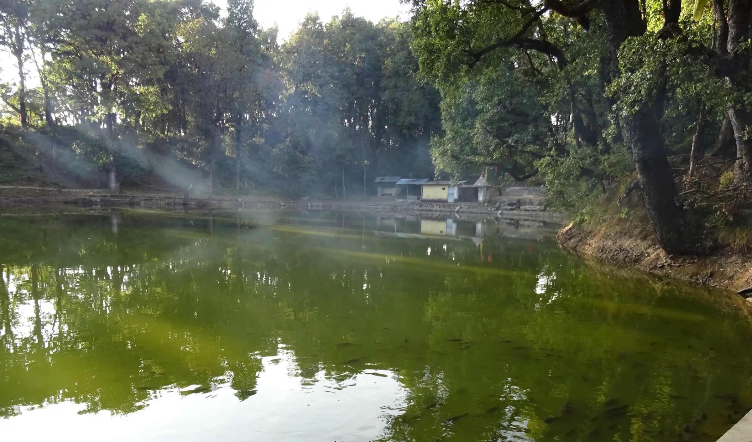 2,450 mhighest point
- Max altitude
- 2,450 m
- Days
- 3 days
- Distance
- 6 km
- Difficulty
- Easy
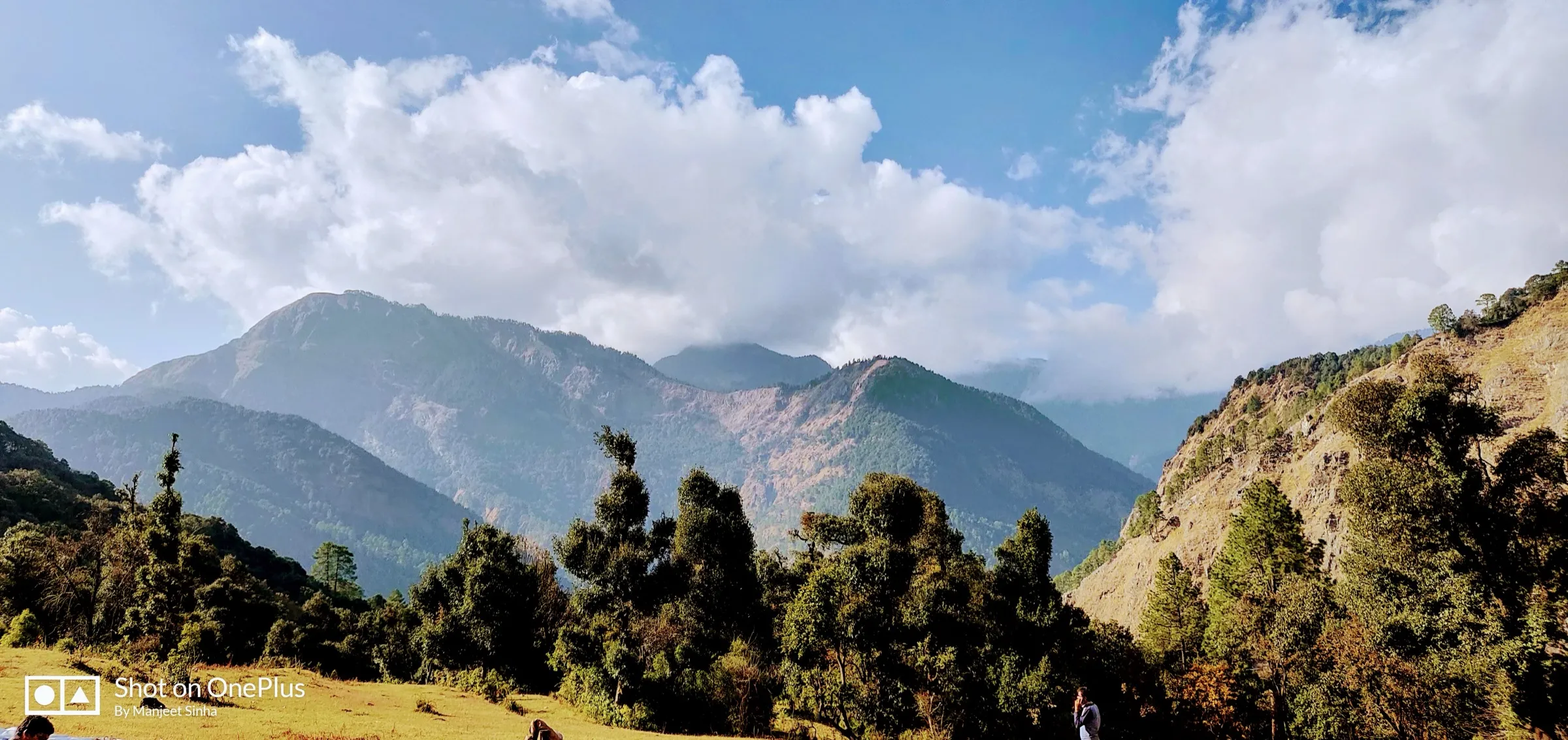
A short walk of about 3 km each way from the Chaurangi Khal road head through oak, pine and rhododendron forest, with only about 150 m of climb; operators sell it as a family and beginner hike.
The route
Day by day
Day 1
Dehradun → Uttarkashi
640 m → 1,158 m
Day 2 · highest point
Chaurangi Khal (drive from Uttarkashi) → Chaurangi Khal via Nachiketa Tal (drive back to Uttarkashi)
2,300 m → 2,450 m → 2,300 m
Day 3
Uttarkashi → Dehradun
1,158 m → 640 m
Ups and downs
Altitude profile
Where it is
Map
Trailhead and high point only — not a recorded track. Use it with a proper map.
Weather
Next 5 days on the trail
Live forecast for the trailhead and the high point. Mountain weather changes fast — check again on the morning you start.
Trailhead · Chaurangi Khal
at 2,300 mLoading forecast…
High point · Nachiketa Tal
at 2,450 mLoading forecast…
Each day: high / low °C · rain mm and chance · snow cm · wind km/h
Weather data: Open-Meteo.comModel forecast, not an official warning. For alerts follow IMD and the local administration.
Plan the trip
How to reach
- Trailhead
- Chaurangi Khal (nearest town: Uttarkashi)
- Nearest railway
- Dehradun or Rishikesh
- Nearest airport
- Jolly Grant Airport, Dehradun
- By road
- Dehradun to Uttarkashi (about 140-150 km, 6-7 hours); Uttarkashi to Chaurangi Khal (about 22-30 km, about 1 hour, via Manpur and Sankurna Dhar on the Uttarkashi-Lambgaon road)
- Drive
- About 7 h from Dehradun
Plan the trip
Permits and fees
We could not confirm the current permit rules and fees from an official source. Check with the local forest department or tourism office before you go.
Plan the trip
Cost
Self-guided
₹2,000–5,000
With an operator
₹6,000–6,500
Per person, ex-Dehradun. Only one operator publishes a price: Himalayan Hikers, ₹6,000 + 5% GST + ₹120 insurance for 3 days Dehradun to Dehradun (October 2026). Self-guided is an estimate: bus Dehradun-Uttarkashi and back, one or two hotel nights in Uttarkashi, and a shared taxi to Chaurangi Khal (Himalayan Dream Treks quotes about ₹80) or a reserved one. Any forest entry fee is extra; check at the Chaurangi forest checkpoint.
Gear
Top picks for this trek
The gear that matters most on this route, chosen from its altitude, season and risks.
 Ad · affiliate link
 Ad · affiliate link
 Ad · affiliate link
 Ad · affiliate link
 Ad · affiliate link
- Ad · affiliate link
 Ad · affiliate link
 Ad · affiliate link
Store buttons open a search on that store, not a product we picked. As an Amazon Associate we earn from qualifying purchases. Photos show the kind of item, not a specific product. Affiliate disclosure
Packing checklist
Matched to this trek: altitude, season, days and the risks on the route.
Packed 0 of 27
Monsoon months (Jun–Sep): pack everything in plastic or a dry bag and wear shoes with good grip.
Tick each item as it goes in the bag.
Know before you go
Good to know
- Mobile network
- Not confirmed by our sources; expect signal in Uttarkashi and patchy or no signal in the forest.
- Last ATM
- Uttarkashi
- Nearest hospital
- District hospital in Uttarkashi, about an hour's drive from Chaurangi Khal
- Water
- Not confirmed by our sources; carry enough water and snacks from Uttarkashi, as Himalayan Dream Treks advises. Treat any lake or stream water.
Highlights
- A quiet forest lake at about 2,450 m, ringed by oak, pine, deodar and rhododendron, named after Nachiketa of the Kathopanishad
- Local tradition holds this as the place of Nachiketa's tapasya; a small cave called Yam Dwar lies a short distance beyond the lake
- A small Nag Devta temple on the shore, where villagers of Chaurangi, Dikholi and Saundi gather for a mela on Nag Panchami
- Rhododendron (burans) bloom on the trail in spring, and a snow-covered lake in winter
- Easy enough for children and families, and a short halt for pilgrims travelling between Gangotri and Kedarnath
Risks
- Leeches on the trail in the monsoon (July-August), and rain makes the forest path slippery.
- In winter the trail can carry snow; Himalayan Dream Treks advises checking that there is not too much snow and avoiding early mornings and late evenings.
- The forest has leopards and Himalayan black bears; walk in daylight and return to Chaurangi Khal well before dark.
- Permit and forest entry fees could not be confirmed from an official source; ask at Explore Uttarkashi or the forest checkpoint at Chaurangi.
Know before you go
Questions
How long is the Nachiketa Tal trek?
About 3 km each way from Chaurangi Khal, so about 6 km in all, through dense forest. Himalayan Dream Treks gives 8 km for its to-and-fro walk from Chaurangi. Most trekkers do it as a half-day walk from Uttarkashi.
How do I reach Chaurangi Khal, the starting point?
Go by bus or taxi from Dehradun to Uttarkashi (about 140-150 km, 6-7 hours). From Uttarkashi, cross the Jhula Pul to the taxi stand and take a shared or reserved taxi to Chaurangi Khal, about 22-30 km and an hour's drive via Manpur.
What is the best time to visit Nachiketa Tal?
March to November is the usual season. Spring brings rhododendron bloom, and the monsoon fills the lake but brings leeches. In December to February the lake and trail can be under snow; it can still be visited, but check the snow on the trail first.
Why is the lake called Nachiketa Tal?
It is named after Nachiketa, the young son of Vajashravas (Uddalaka), whose sacred dialogue with Yamaraj is the heart of the Kathopanishad. The Kathopanishad tells that Nachiketa waited three days at Yamaraj's door, received three boons, and was taught the knowledge of the Atman. Local tradition holds this lake as the place of his tapasya, with Yam Dwar nearby.
Do I need a permit for Nachiketa Tal?
Himalayan Dream Treks says permits can be obtained from Explore Uttarkashi or at the forest checkpoint in Chaurangi. We could not confirm the current fee from an official source, so check locally before you start.
In an emergency
Save these numbers before you lose signal. Tap to call.
- 112All emergenciesIndia’s single emergency number — works in every state
- 108Ambulance
- 1077District disaster control room
You are in
District: UttarkashiUttarakhand
- Nearest hospital
- District hospital in Uttarkashi, about an hour's drive from Chaurangi Khal
- Last ATM
- Uttarkashi
- Phone network
- Not confirmed by our sources; expect signal in Uttarkashi and patchy or no signal in the forest.
Before you set off
- Tell someone your route and when you will be back.
- Carry a charged phone and a power bank.
- Download an offline map of the route.
- Turn back if the weather turns bad — the mountain will wait.
Questions about Nachiketa Tal
No questions yet. Ask something and trekkers who have done it can answer.
Share your trek photo with #TreksAndTrails
I trekked this
Did Nachiketa Tal look different from this page? Tell us what changed and we will check it.
Where this comes from
Sources
Last reviewed:
- Nachiketa Tal Trek | Lake On Bhagirathi River | Himalayan Hikers — Himalayan Hikers
- Nachiketa Tal: A Complete Trek Guide — Himalayan Dream Treks
- Nachiketa Tal: A Comprehensive Travel Guide — Capture A Trip
- Nachiketa Tal Trek — Escape2Explore
- Nachiketa Lake In Uttarkashi: Where The God Of Death Revealed Life's Greatest Secret — ETV Bharat
Photos: Sanjayuki99, CC BY-SA 4.0