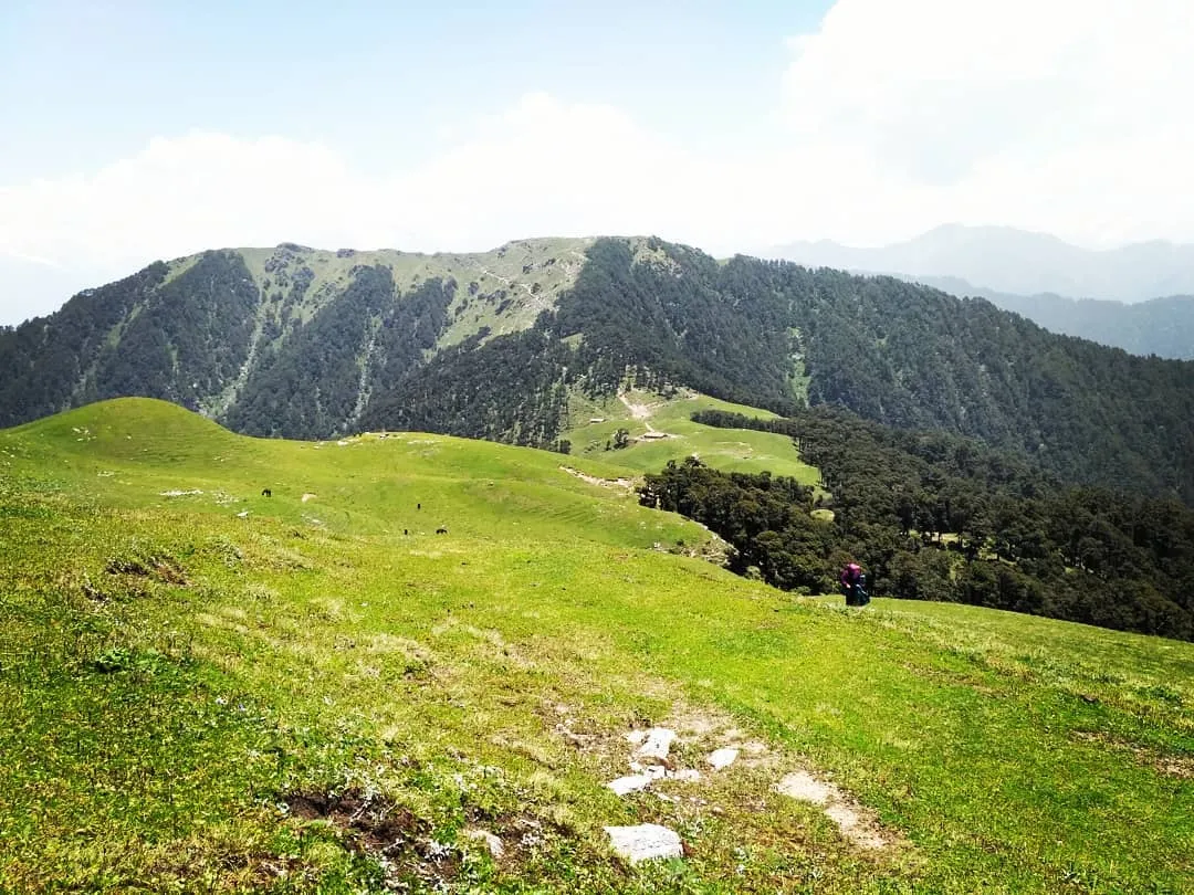
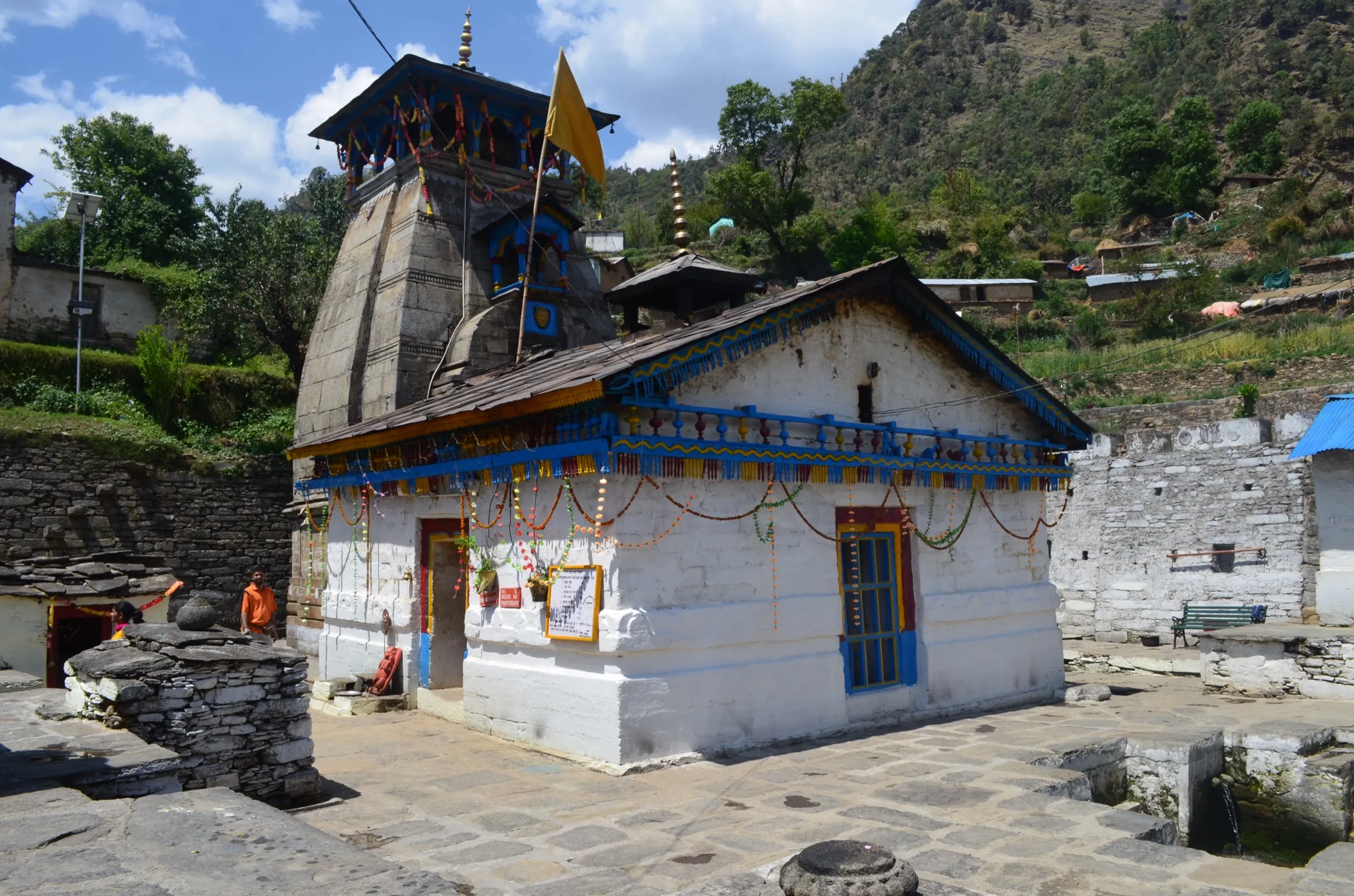
Mayali Pass Trek
Tehri Garhwal and Rudraprayag, Uttarakhand
Opens without signal on this phone, with the map file and checklist. Saved for offline →
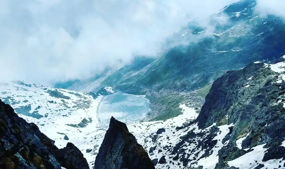
- Max altitude
- 5,150 m
- Days
- 11 days
- Distance
- 90 km
- Difficulty
- Difficult
A long traverse of about 90 km from Ghuttu in the Bhilangana valley to Kedarnath, crossing a pass of about 5,150 m. The climb to Masar Top is very steep (close to 65 degrees on boulders), there is no defined path across the Mayali glacier, and the descent to Vasuki Tal is a knee-breaking boulder slope where rope may be needed. Operators rate it difficult and ask for earlier high-altitude experience.
Photos
On the trail
The route
Day by day
Day 1
Dehradun → Ghuttu
640 m → 1,520 m
Day 2
Ghuttu → Reeh
1,520 m → 2,130 m
Day 3
Reeh → Gangi
2,130 m → 2,600 m
Day 4
Gangi → Kharsoli (via Kalyani)
2,600 m → 2,880 m
Day 5
Kharsoli → Chowki
2,880 m → 3,650 m
Day 6
Chowki → Chowki (acclimatisation day, optional walk to Khatling glacier)
3,650 m → 3,650 m
Day 7
Chowki → Masar Tal
3,650 m → 4,570 m
Day 8 · highest point
Masar Tal → Vasuki Tal camp (via Masar Top and Mayali Pass)
4,570 m → 5,150 m → 4,300 m
Day 9
Vasuki Tal camp → Kedarnath
4,300 m → 3,580 m
Day 10
Kedarnath → Gaurikund
3,580 m → 1,990 m
Day 11
Gaurikund → Dehradun
1,990 m → 640 m
Ups and downs
Altitude profile
Where it is
Map
Trailhead and high point only — not a recorded track. Use it with a proper map.
Weather
Next 5 days on the trail
Live forecast for the trailhead and the high point. Mountain weather changes fast — check again on the morning you start.
Trailhead · Ghuttu
at 1,520 mLoading forecast…
High point · Mayali Pass
at 5,150 mLoading forecast…
Each day: high / low °C · rain mm and chance · snow cm · wind km/h
Weather data: Open-Meteo.comModel forecast, not an official warning. For alerts follow IMD and the local administration.
Plan the trip
How to reach
- Trailhead
- Ghuttu (nearest town: Ghansali)
- Nearest railway
- Rishikesh (Yog Nagari Rishikesh) or Dehradun
- Nearest airport
- Jolly Grant Airport, Dehradun
- By road
- Dehradun (about 140-190 km to Ghuttu via Tehri and Ghansali); Return by road from Gaurikund/Sonprayag via Rudraprayag
- Drive
- About 8 h from Dehradun
Plan the trip
Permits and fees
We could not confirm the current permit rules and fees from an official source. Check with the local forest department or tourism office before you go.
Plan the trip
Cost
Self-guided
₹25,000–40,000
With an operator
₹63,000–92,400
Per person, ex-Dehradun. Guided prices published October 2026: Bikat Adventures ₹60,000 + 5% GST (Dehradun to Gaurikund, forest and camping fees for Indian nationals included); Himalaya Shelter ₹88,000 + 5% GST (pickup Dehradun). Self-guided is an estimate: shared transport Dehradun-Ghuttu and Gaurikund-Dehradun, GMVN rooms at Ghuttu, Reeh and Gangi, a local guide and porters from Ghuttu or Gangi for about eight days, tents, fuel and food beyond Gangi, forest camping fees, and a night in Kedarnath.
Gear
Top picks for this trek
The gear that matters most on this route, chosen from its altitude, season and risks.
 Ad · affiliate link
 Ad · affiliate link
 Ad · affiliate link
 Ad · affiliate link
 Ad · affiliate link
 Ad · affiliate link
 Ad · affiliate link
 Ad · affiliate link
Store buttons open a search on that store, not a product we picked. As an Amazon Associate we earn from qualifying purchases. Photos show the kind of item, not a specific product. Affiliate disclosure
Packing checklist
Matched to this trek: altitude, season, days and the risks on the route.
Packed 0 of 37
Nights near 5,150 m can drop close to freezing even in summer. Pack one more warm layer than you think.
Tick each item as it goes in the bag.
Know before you go
Good to know
- Mobile network
- Mobile signal at Ghansali and Ghuttu and patchy towards Reeh; none from Gangi until you near Kedarnath, which has signal during the yatra season.
- Last ATM
- Ghansali, about 30 km before Ghuttu; carry enough cash from Dehradun or Tehri
- Nearest hospital
- Community health centre at Ghansali on the Tehri side; at the Kedarnath end, the yatra medical posts and Rudraprayag district hospital; AIIMS Rishikesh for serious cases
- Water
- The trail follows the Bhilangana river and its side streams up to Chowki; Masar Tal and glacier melt streams above. Gangi is the last village, with no shops or supplies beyond it. Boil or treat all water.
Highlights
- Crosses Mayali Pass (about 5,150 m) between the Bhilangana and Mandakini valleys, with Thalay Sagar, Kedar Dome and Bharte Khunta in view from the top
- Ends at Kedarnath, the Jyotirlinga of Bhagwan Shiva, after descending past Vasuki Tal, a sacred high lake where pilgrims and trekkers do not camp
- Walks up the Bhilangana valley through Reeh and Gangi, the last village, with views back to the Khatling glacier
- High camp at Masar Tal, a small boulder-ringed lake at about 4,570 m
Risks
- Rapid gain from Chowki (about 3,650 m) to Masar Tal (about 4,570 m) and over a 5,150 m pass: acute mountain sickness is a real risk, so keep the acclimatisation day and descend at the first serious symptoms.
- The climb to Masar Top is close to 65 degrees on snow-patched boulders, the Mayali glacier has no marked path, and the descent to Vasuki Tal is steep boulder ground where rope may be needed; go only with an experienced guide.
- Monsoon (July-August) brings landslides on the Bhilangana trail beyond Kharsoli, and the log bridge before Chowki can be washed away.
- Himalaya Shelter advises avoiding mid-October to April, when snow covers the pass and the Kedarnath end shuts for winter.
- No villages, shops or rescue between Gangi and Kedarnath; carry all food and fuel and plan your own evacuation.
Know before you go
Questions
How difficult is the Mayali Pass trek?
It is a difficult high-altitude trek for experienced trekkers. Bikat Adventures rates it difficult and asks for an earlier comparable trek; the climb to Masar Top is close to 65 degrees, the Mayali glacier has no defined path, and the descent to Vasuki Tal can need rope.
What is the best time for the Mayali Pass trek?
Mid-May to June and mid-September to early October. July and August bring monsoon landslides, and from mid-October to April the pass is under snow and the Kedarnath end closes for winter.
Where does the Mayali Pass trek start and end?
It starts at Ghuttu in Tehri Garhwal, about 140-190 km by road from Dehradun via Tehri and Ghansali, and walks up the Bhilangana valley through Reeh and Gangi. It ends at Kedarnath, from where the pilgrim path goes down to Gaurikund.
How long is the Mayali Pass trek?
About 90 km of walking over 8-9 trekking days, or 10-12 days including the drives from and back to Dehradun. Operators quote 83-98 km depending on whether the walk ends at Kedarnath or Gaurikund.
Do I need a permit for Mayali Pass?
You pay forest entry and camping fees for the Bhilangana valley; trekkers arrange this at Ghuttu, and guided groups include it in the price. We found no official, dated fee schedule, so check the current fees at the forest office before you start.
Can I camp at Vasuki Tal?
Not beside the lake. Vasuki Tal is a sacred lake above Kedarnath, and camps are pitched a few hundred metres before it.
In an emergency
Save these numbers before you lose signal. Tap to call.
- 112All emergenciesIndia’s single emergency number — works in every state
- 108Ambulance
- 1077District disaster control room
You are in
District: Tehri Garhwal and RudraprayagUttarakhand
- Nearest hospital
- Community health centre at Ghansali on the Tehri side; at the Kedarnath end, the yatra medical posts and Rudraprayag district hospital; AIIMS Rishikesh for serious cases
- Last ATM
- Ghansali, about 30 km before Ghuttu; carry enough cash from Dehradun or Tehri
- Phone network
- Mobile signal at Ghansali and Ghuttu and patchy towards Reeh; none from Gangi until you near Kedarnath, which has signal during the yatra season.
Before you set off
- Tell someone your route and when you will be back.
- Carry a charged phone and a power bank.
- Download an offline map of the route.
- Turn back if the weather turns bad — the mountain will wait.
Questions about Mayali Pass
No questions yet. Ask something and trekkers who have done it can answer.
Share your trek photo with #TreksAndTrails
I trekked this
Did Mayali Pass look different from this page? Tell us what changed and we will check it.
Where this comes from
Sources
Last reviewed:
- Khatling Glacier | District Tehri Garhwal, Government of Uttarakhand — District Tehri Garhwal, Government of Uttarakhand (official)
- Mayali Pass Trek — Bikat Adventures
- Mayali Pass Trek — Himalaya Shelter
- Mayali Pass Trek — Tour My India
- Mayali Pass Trek From Ghuttu to Kedarnath — Himalayan High
- Mayali Pass Trek (documented trek by Sandhya UC) — Indiahikes
Photos: Hari Kandala, CC BY-SA 4.0; Atudu, CC BY-SA 4.0; Atudu, CC BY-SA 4.0