Madmaheshwar Trek
Rudraprayag, Uttarakhand
Opens without signal on this phone, with the map file and checklist. Saved for offline →
- Max altitude
- 3,497 m
- Days
- 4 days
- Distance
- 32 km
- Difficulty
- Moderate
The first stretch to Gaundar and Bantoli is easy, but from Bantoli the path climbs about 1,500 m in one day through Khatara, Nanu and Kun Chatti, and the way back is a long 16 km descent to Ransi in a single day.
Photos
On the trail
The route
Day by day
Day 1
Rishikesh → Ransi
340 m → 1,980 m
Day 2
Ransi → Bantoli (via Gaundar)
1,980 m → 1,950 m
Day 3 · highest point
Bantoli → Madmaheshwar Temple
1,950 m → 3,497 m
Day 4
Madmaheshwar Temple → Ransi (drive to Ukhimath)
3,497 m → 1,980 m
Ups and downs
Altitude profile
Where it is
Map
Trailhead and high point only — not a recorded track. Use it with a proper map.
Weather
Next 5 days on the trail
Live forecast for the trailhead and the high point. Mountain weather changes fast — check again on the morning you start.
Trailhead · Ransi
at 1,980 mLoading forecast…
High point · Shri Madmaheshwar Temple
at 3,497 mLoading forecast…
Each day: high / low °C · rain mm and chance · snow cm · wind km/h
Weather data: Open-Meteo.comModel forecast, not an official warning. For alerts follow IMD and the local administration.
Plan the trip
How to reach
- Trailhead
- Ransi (nearest town: Ukhimath)
- Nearest railway
- Yog Nagari Rishikesh (Haridwar for more trains)
- Nearest airport
- Jolly Grant Airport, Dehradun
- By road
- Rishikesh (about 226 km to Ukhimath via Rudraprayag, then about 20-25 km on to Ransi); Ukhimath (shared cabs to Ransi, about ₹60-80)
- Drive
- About 9 h from Rishikesh
Plan the trip
Permits and fees
We could not confirm the current permit rules and fees from an official source. Check with the local forest department or tourism office before you go.
Plan the trip
Cost
Self-guided
₹5,000–9,000
With an operator
₹11,000–15,000
Per person, ex-Rishikesh. Guided prices published October 2026: Himalayan Dream Treks ₹10,999 + 5% GST (4 days, Rishikesh/Haridwar transport, homestays, breakfast and dinner, forest entry); Adventure Club Pune ₹14,999 Rishikesh to Rishikesh (5 days). Treks and Trails India lists a ₹5,999 5-day package without saying the start city. Self-guided is an estimate: bus or shared jeep Rishikesh-Ukhimath-Ransi both ways, three nights in village homestays or the temple dharamshala at about ₹500-1,500 a night with meals, and tea-stall food on the trail. Carry cash.
Gear
Top picks for this trek
The gear that matters most on this route, chosen from its altitude, season and risks.
 Ad · affiliate link
 Ad · affiliate link
 Ad · affiliate link
 Ad · affiliate link
 Ad · affiliate link
 Ad · affiliate link
 Ad · affiliate link
- Ad · affiliate link
Store buttons open a search on that store, not a product we picked. As an Amazon Associate we earn from qualifying purchases. Photos show the kind of item, not a specific product. Affiliate disclosure
Packing checklist
Matched to this trek: altitude, season, days and the risks on the route.
Packed 0 of 32
Nights near 3,497 m can drop close to freezing even in summer. Pack one more warm layer than you think.
Tick each item as it goes in the bag.
Know before you go
Good to know
- Mobile network
- BSNL, Airtel, Vodafone and Jio work up to Ransi; beyond it there is no signal except a few patchy pockets.
- Last ATM
- Ukhimath
- Nearest hospital
- Primary Health Centre, Ukhimath (about 25 km from Ransi); AIIMS Rishikesh for serious cases
- Water
- Lodges and homestays at Ransi, Gaundar and Bantoli, the Madhyamaheshwar Ganga beside the lower trail, villagers' huts above Bantoli and stream water at the temple. Boil or treat stream water.
Highlights
- Darshan of Shri Madmaheshwar, the second of the Panch Kedar, where the navel (madhya) of Bhagwan Shiva's divine bull form is worshipped as a navel-shaped Shivling in a Nagara-style stone temple
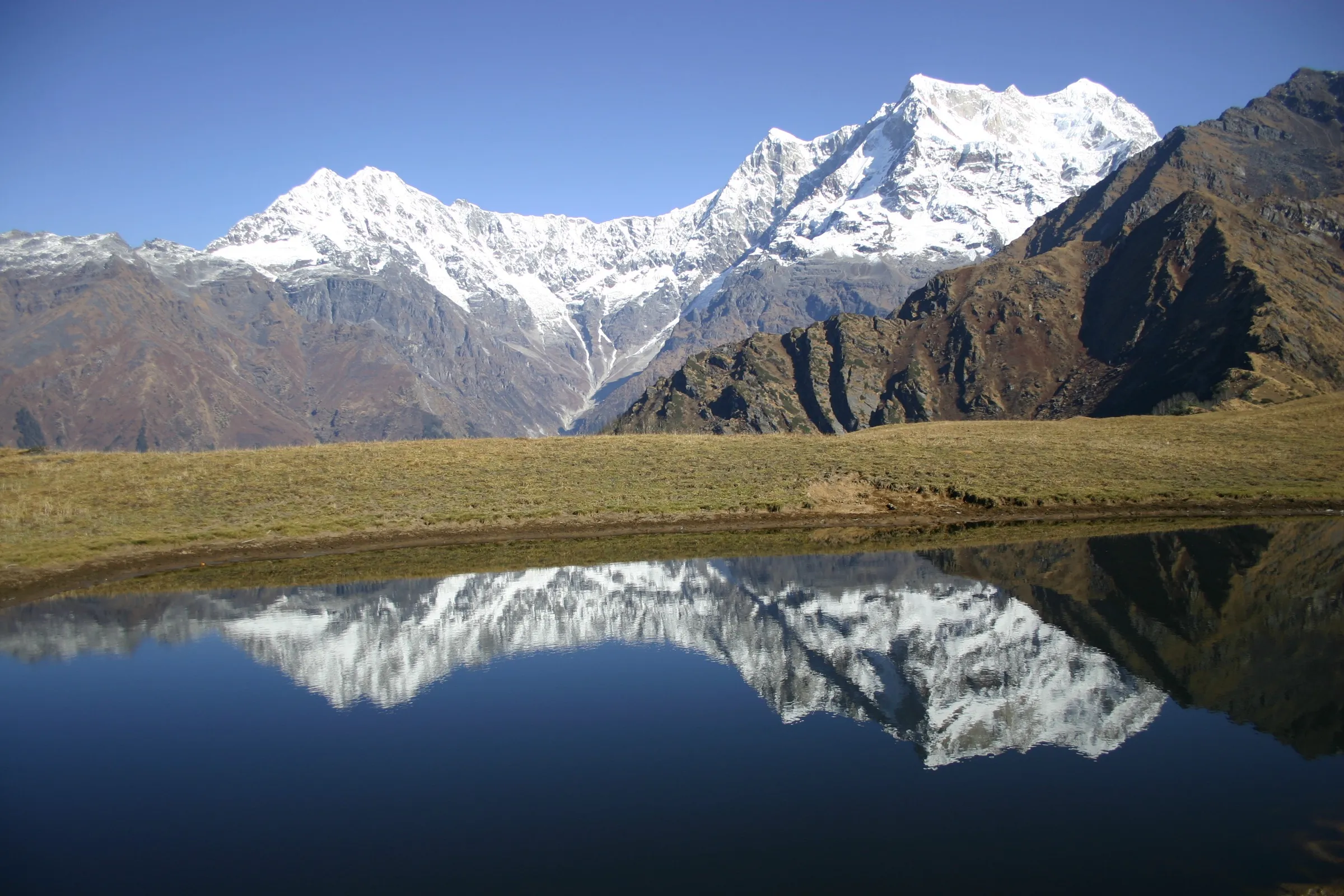
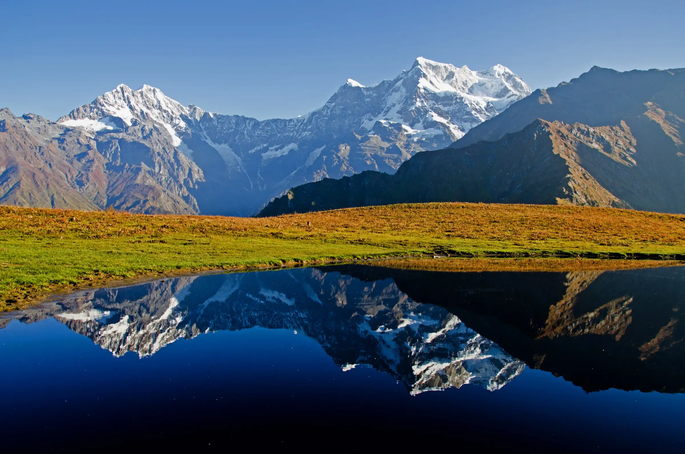
- Buda Madmaheshwar, a small shrine on a meadow about 2 km above the temple, where a still pond mirrors Chaukhamba at sunrise
- A village trail through Gaundar, Bantoli, Khatara and Nanu with homestays the whole way, and oak and rhododendron forest above Bantoli
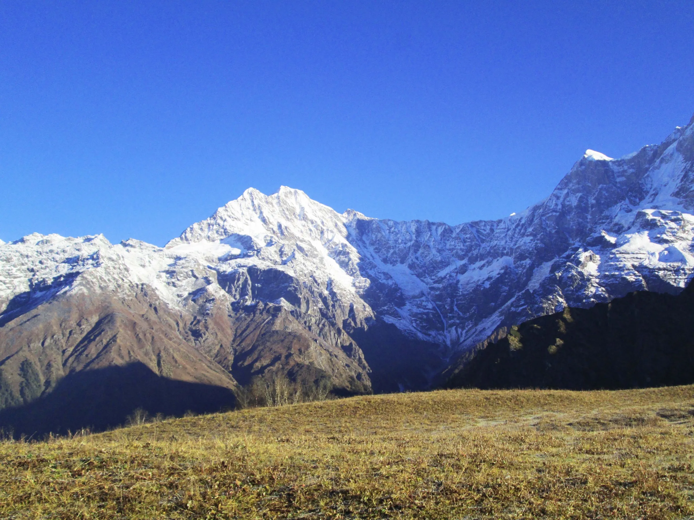
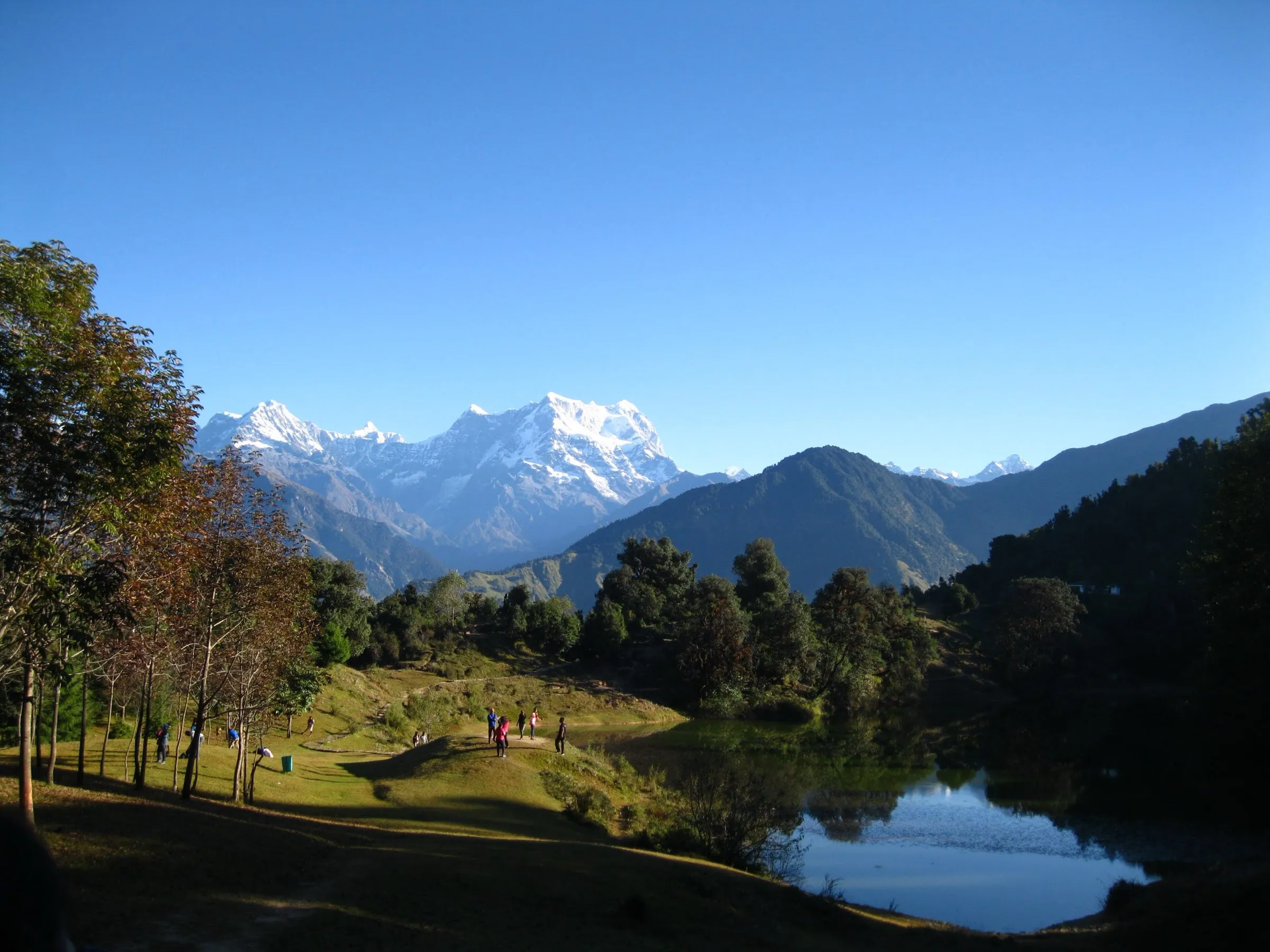
- Views of Chaukhamba, Mandani and the Kedarnath range from the temple meadow
Risks
- Monsoon rain (July-August) brings landslides and a slippery path. In August 2026 the Rudraprayag administration suspended the yatra from 7 to 19 August after a pilgrim's fatal fall and damage to the river-crossing trolley at Bantoli; check with the district administration before going.
- At Bantoli pilgrims crossed the river by trolley in 2026, which ran only 6:30-9:00, 10:30-13:00 and 14:30-18:00. Plan to reach it within those hours.
- The 16 km descent from the temple to Ransi in one day is hard on knees; start early.
- Nights at the temple are cold from October, and the temple and lodges are shut from late November to late May.
Know before you go
Questions
Why is Madmaheshwar sacred?
It is the second of the Panch Kedar of Bhagwan Shiva. The Panch Kedar katha tells that after the Mahabharata war the Pandavas sought Mahadev's darshan; he took the form of a bull, and its parts appeared at five places. At Madmaheshwar the navel (madhya) is worshipped, so the Shivling here is navel-shaped. Small shrines to Hara-Gauri and Ardhanarishvara stand beside the temple.
When is the Madmaheshwar temple open?
From the second half of May until the second half of November. The doors opened on 21 May in 2025 and 2026. The dates are fixed each year at Omkareshwar Temple, Ukhimath, where Bhagwan Madmaheshwar's doli stays in winter; the closing date is announced around Vijayadashami. The best trekking months are May-June and mid-September to October.
How long is the Madmaheshwar trek and where does it start?
It starts at Ransi, the last road village about 20-25 km from Ukhimath. The temple is about 16 km from Ransi, so the round trip is about 32 km. Most people take two days up (staying at Gaundar or Bantoli) and one long day down. Buda Madmaheshwar adds about 2 km each way.
Do I need a permit for Madmaheshwar?
Indiahikes says no permit is needed for pilgrims and trekkers. Some operators include forest entry charges and ask for a government ID. We found no current official fee, so check locally in Ukhimath.
Is there mobile network and an ATM on the way?
Mobile signal works only up to Ransi. The last ATM is in Ukhimath, so carry enough cash for homestays and food.
In an emergency
Save these numbers before you lose signal. Tap to call.
- 112All emergenciesIndia’s single emergency number — works in every state
- 108Ambulance
- 1077District disaster control room
You are in
District: RudraprayagUttarakhand
- Nearest hospital
- Primary Health Centre, Ukhimath (about 25 km from Ransi); AIIMS Rishikesh for serious cases
- Last ATM
- Ukhimath
- Phone network
- BSNL, Airtel, Vodafone and Jio work up to Ransi; beyond it there is no signal except a few patchy pockets.
Before you set off
- Tell someone your route and when you will be back.
- Carry a charged phone and a power bank.
- Download an offline map of the route.
- Turn back if the weather turns bad — the mountain will wait.
Questions about Madmaheshwar
No questions yet. Ask something and trekkers who have done it can answer.
Share your trek photo with #TreksAndTrails
I trekked this
Did Madmaheshwar look different from this page? Tell us what changed and we will check it.
Where this comes from
Sources
Last reviewed:
- Other Temples — The Temple of Shri Madmaheshwar at Madmaheshwar — Shri Badarinath-Kedarnath Temple Committee (BKTC) (official)
- Madmaheshwar Trek (documented trek) — Indiahikes
- Madmaheshwar Trek — Himalayan Dream Treks
- Buda Madmaheshwar Trek — Himalaya Shelter
- Madhyamaheshwar Trek from Delhi | Dwitiya Kedar | Panch Kedar — Treks and Trails India
- Madhymaheshwar Trek — Adventure Club Pune
- Madhyamaheshwar — Wikipedia
- Madhyamaheshwar — Second Kedar — Panch Kedar (panchkedar.in)
- Shri Madhmaheshwar Temple welcomes pilgrims in Grand ceremony — Punjab Kesari
- मद्महेश्वर की यात्रा फिर शुरू, पहले दिन 47 यात्री ट्रॉली से पहुंचे — Amar Ujala
Photos: Abhishek.ghosh1984, CC BY-SA 4.0; Bodhisattwa, CC BY-SA 4.0; Sumita Roy Dutta, CC BY-SA 4.0