Nandi Kund Trek
Rudraprayag (ends in Chamoli), Uttarakhand
Opens without signal on this phone, with the map file and checklist. Saved for offline →
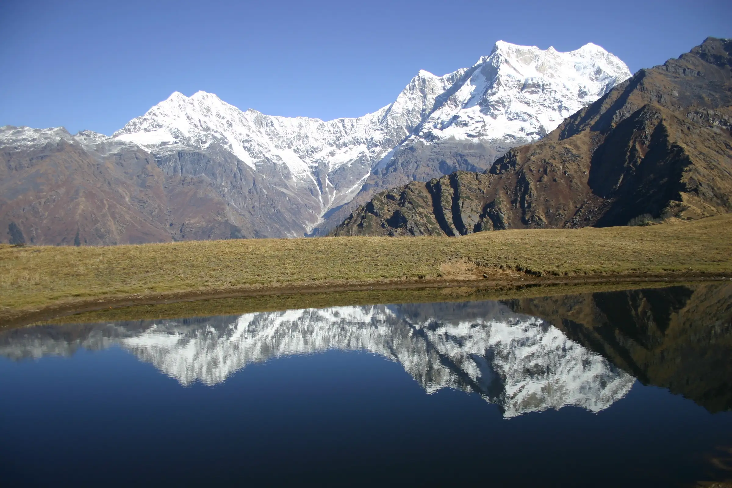
- Max altitude
- 5,250 m
- Days
- 11 days
- Distance
- 78 km
- Difficulty
- Challenging
Above Madmaheshwar there are no villages or lodges: a steep 4-5 hour climb to Kachni Khal, then an unmarked shepherd trail with many stream crossings to Pandavsera that needs a local guide, a high camp at Nandi Kund, and a steep pass crossing followed by a very steep descent. Every night from day 4 to day 9 is in tents.
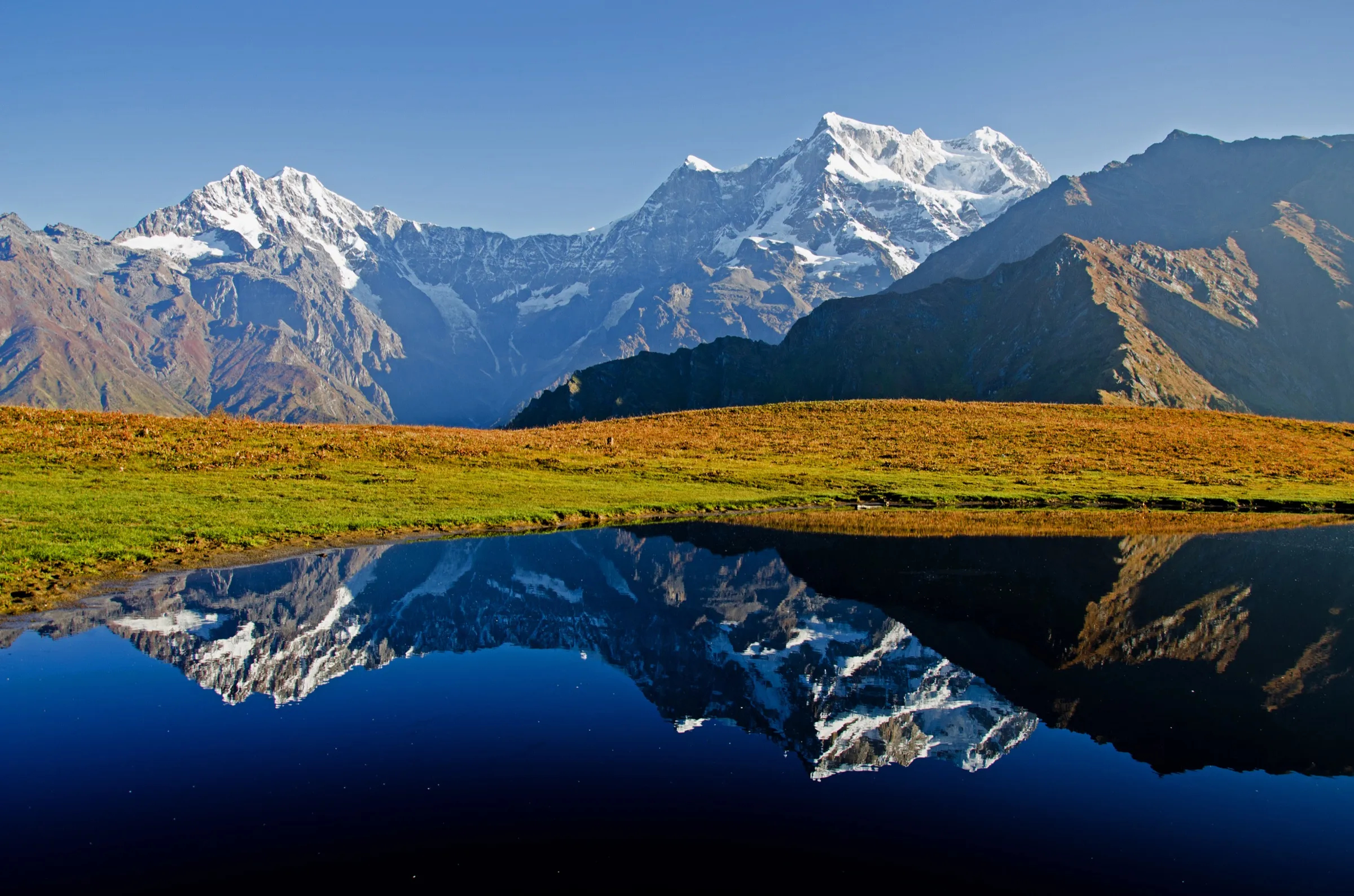
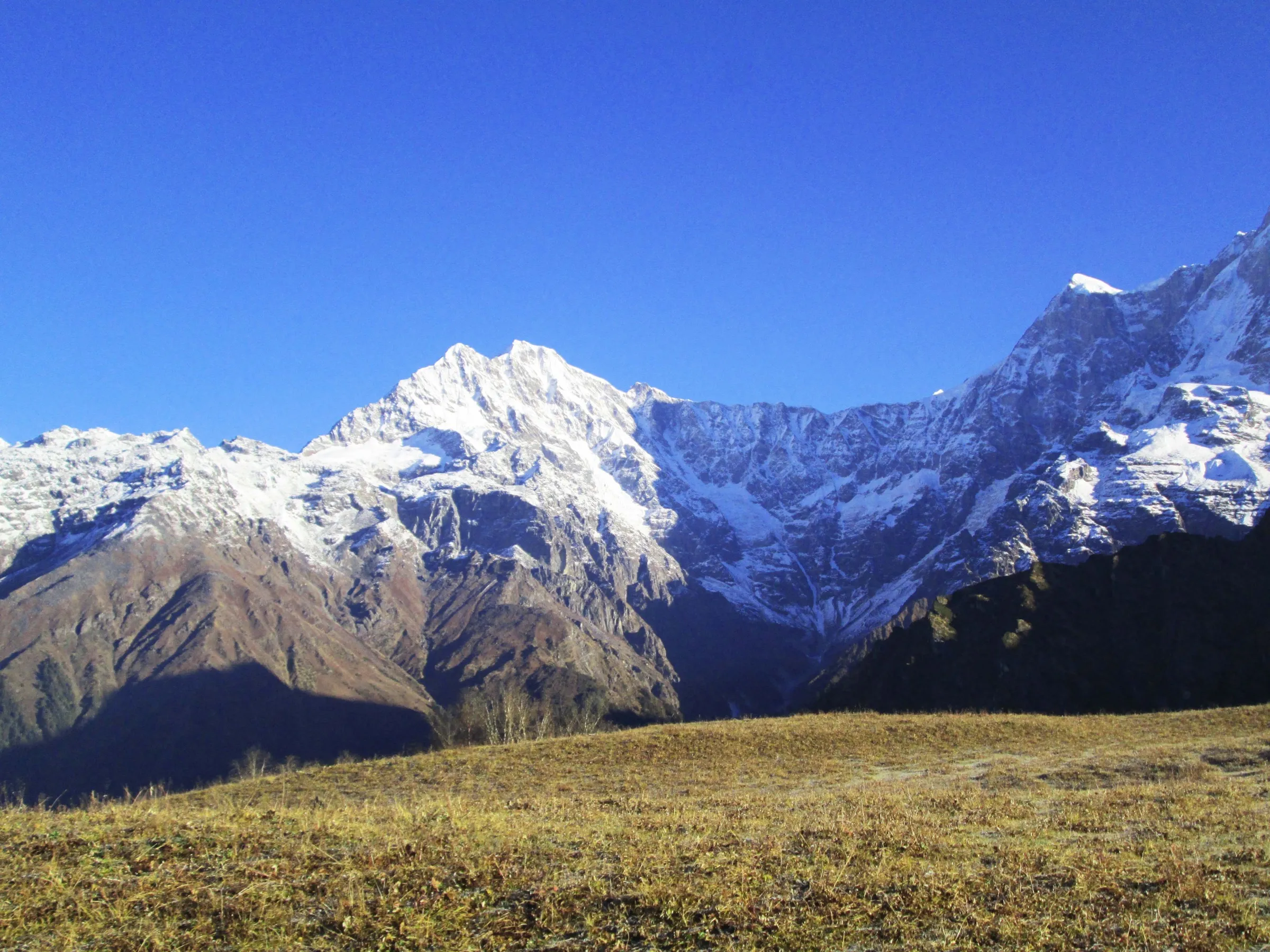
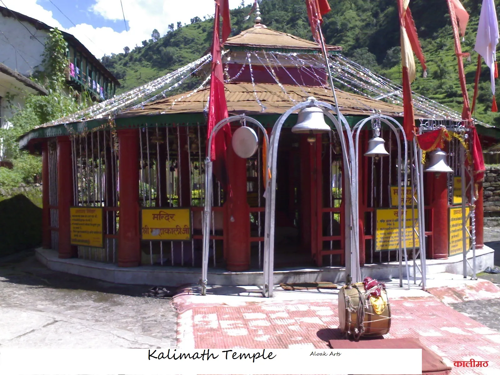
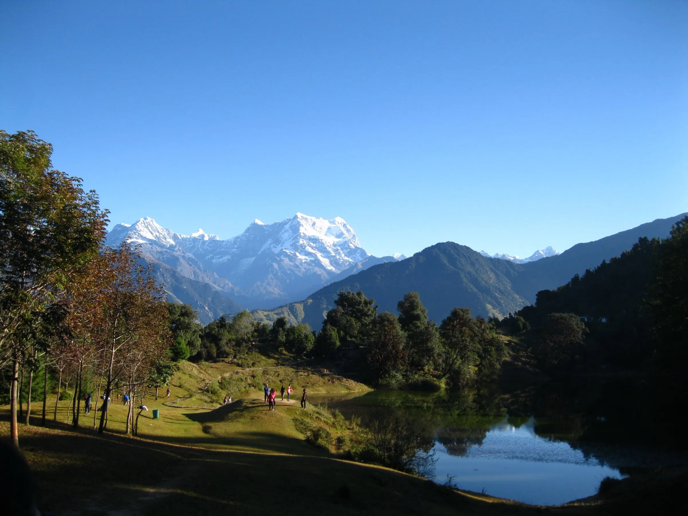
Photos
On the trail
The route
Day by day
Day 1
Rishikesh → Ransi
340 m → 2,100 m
Day 2
Ransi → Bantoli (via Gaundhar)
2,100 m → 2,700 m
Day 3
Bantoli → Madmaheshwar Temple
2,700 m → 3,500 m
Day 4
Madmaheshwar Temple → Kachni Dhar (via Kachni Khal)
3,500 m → 4,400 m
Day 5
Kachni Dhar → Pandavsera
4,400 m → 4,100 m
Day 6
Pandavsera → Nandi Kund
4,100 m → 4,800 m
Day 7
Nandi Kund → Nandi Kund (acclimatisation walk)
4,800 m → 4,800 m
Day 8 · highest point
Nandi Kund → Barma Bugyal (over Ghiya Vinayak Pass)
4,800 m → 5,250 m → 4,100 m
Day 9
Barma Bugyal → Bansi Narayan
4,100 m → 3,500 m
Day 10
Bansi Narayan → Urgam (via Kalpeshwar)
3,500 m → 2,000 m
Day 11
Urgam → Rishikesh (drive)
2,000 m → 340 m
Ups and downs
Altitude profile
Where it is
Map
Trailhead and high point only — not a recorded track. Use it with a proper map.
Weather
Next 5 days on the trail
Live forecast for the trailhead and the high point. Mountain weather changes fast — check again on the morning you start.
Trailhead · Ransi
at 2,100 mLoading forecast…
High point · Ghiya Vinayak Pass (Dhanya Dunkar Khal)
at 5,250 mLoading forecast…
Each day: high / low °C · rain mm and chance · snow cm · wind km/h
Weather data: Open-Meteo.comModel forecast, not an official warning. For alerts follow IMD and the local administration.
Plan the trip
How to reach
- Trailhead
- Ransi (nearest town: Ukhimath)
- Nearest railway
- Yog Nagari Rishikesh (Haridwar for more trains)
- Nearest airport
- Jolly Grant Airport, Dehradun
- By road
- Rishikesh to Ransi (about 197 km via Rudraprayag and Ukhimath, 7-8 hours); Exit: Urgam to Rishikesh (about 230 km via Helang, Chamoli and Rudraprayag, about 8 hours)
- Drive
- About 8 h from Rishikesh
Plan the trip
Permits and fees
We could not confirm the current permit rules and fees from an official source. Check with the local forest department or tourism office before you go.
Plan the trip
Cost
Self-guided
₹20,000–40,000
With an operator
₹25,000–70,000
Per person, ex-Rishikesh. Guided prices published October 2026: eUttaranchal ₹24,000 (5+ people) to ₹28,000 (2-4 people) + 5% GST for an 8-day Ransi-Urgam package; Himalayan High runs only private groups, from ₹67,500 per person (Basic, larger team) and much more for small teams, Rishikesh to Rishikesh. Self-guided is an estimate: there are no lodges for six nights above Madmaheshwar, so even a self-guided group must hire a local guide who knows the unmarked Kachni Khal-Pandavsera section, plus porters, tents and food; the estimate assumes a group of 3-4 sharing these costs, plus bus or shared jeep Rishikesh-Ukhimath-Ransi and Urgam-Joshimath-Rishikesh. Forest entry fees extra. Carry cash.
Gear
Top picks for this trek
The gear that matters most on this route, chosen from its altitude, season and risks.
 Ad · affiliate link
 Ad · affiliate link
 Ad · affiliate link
 Ad · affiliate link
 Ad · affiliate link
 Ad · affiliate link
 Ad · affiliate link
 Ad · affiliate link
Store buttons open a search on that store, not a product we picked. As an Amazon Associate we earn from qualifying purchases. Photos show the kind of item, not a specific product. Affiliate disclosure
Packing checklist
Matched to this trek: altitude, season, days and the risks on the route.
Packed 0 of 35
Nights near 5,250 m can drop close to freezing even in summer. Pack one more warm layer than you think.
Tick each item as it goes in the bag.
Know before you go
Good to know
- Mobile network
- Jio, BSNL and Airtel are sparse; signal is better at the road-heads (Ransi, Urgam). Expect no signal on the high section between Madmaheshwar and Bansi Narayan.
- Last ATM
- Ukhimath (Joshimath on the exit side)
- Nearest hospital
- Primary Health Centre, Ukhimath at the start and Joshimath at the end; AIIMS Rishikesh for serious cases. Evacuation from the high camps takes one to two days on foot.
- Water
- Village taps and homestays up to Madmaheshwar; above it, streams on the Kachni Khal-Pandavsera section (camp is beside a stream at Pandavsera), the lake at Nandi Kund and streams in the meadows below the pass. Boil or treat all water.
Highlights
- Darshan of Shri Madmaheshwar, the second of the Panch Kedar of Bhagwan Shiva, on the way up
- Nandi Kund, a high glacial lake where local tradition holds that Nandi Maharaj, the vahana of Bhagwan Shiva, did tapasya; pilgrims take a dip in its icy water
- Crossing Ghiya Vinayak Pass with views of Chaukhamba, Neelkantha and, on a clear day, Nanda Devi
- An unmarked shepherd route over Kachni Khal and Pandavsera, far from any village
- Coming down past Bansi Narayan and Kalpeshwar, the fifth Panch Kedar, into the Urgam valley
Risks
- The Kachni Dhar-Pandavsera section follows an unmarked shepherd trail; a local guide who knows the route is essential, and map-and-compass skills help.
- The pass crossing is a steep climb of about 3 hours followed by a very steep descent; weather turns by afternoon, so start early.
- High camps (sources give 4,100-4,800 m) for five nights in a row; altitude sickness is a real risk and help is one to two days away.
- July-August monsoon brings landslides, swollen streams and cloud on the pass; operators run the trek only in May-June and September-October.
- Published altitudes for the lake and the pass vary widely between sources (see verification notes); do not plan acclimatisation on a single figure.
Know before you go
Questions
Where does the Nandi Kund trek start and end?
Most itineraries start at Ransi village near Ukhimath (Rudraprayag district), walk up to Madmaheshwar Temple, cross Kachni Khal, Pandavsera, Nandi Kund and Ghiya Vinayak Pass, and come down via Bansi Narayan to Urgam village near Kalpeshwar (Chamoli district).
How many days does the Nandi Kund trek take?
Operators publish 8 to 11 days for the Ransi-Urgam traverse, about 72-78 km on foot. The 11-day version from Rishikesh includes a rest and acclimatisation day at Nandi Kund, which we recommend.
How high is Nandi Kund and Ghiya Vinayak Pass?
Operators give about 4,800 m for the lake and 5,250 m for the pass, and Incredible India also gives about 4,800 m for the lake. Himalayan High's own route notes list the lake at 4,371 m, and terrain data suggest the lake and pass are lower than the commonly quoted figures. Either way the trek crosses well above 4,500 m.
When is the best time for the Nandi Kund trek?
May-June and September-October. Madmaheshwar Temple and the village lodges close for winter, and the monsoon (July-August) brings landslides and swollen streams.
Can I do the Nandi Kund trek without a guide?
It is not advisable. There are no villages or lodges for about six days above Madmaheshwar and the Kachni Khal-Pandavsera section has no marked trail, so operators insist on a local guide and full camping support.
In an emergency
Save these numbers before you lose signal. Tap to call.
- 112All emergenciesIndia’s single emergency number — works in every state
- 108Ambulance
- 1077District disaster control room
You are in
District: Rudraprayag (ends in Chamoli)Uttarakhand
- Nearest hospital
- Primary Health Centre, Ukhimath at the start and Joshimath at the end; AIIMS Rishikesh for serious cases. Evacuation from the high camps takes one to two days on foot.
- Last ATM
- Ukhimath (Joshimath on the exit side)
- Phone network
- Jio, BSNL and Airtel are sparse; signal is better at the road-heads (Ransi, Urgam). Expect no signal on the high section between Madmaheshwar and Bansi Narayan.
Before you set off
- Tell someone your route and when you will be back.
- Carry a charged phone and a power bank.
- Download an offline map of the route.
- Turn back if the weather turns bad — the mountain will wait.
Questions about Nandi Kund
No questions yet. Ask something and trekkers who have done it can answer.
Share your trek photo with #TreksAndTrails
I trekked this
Did Nandi Kund look different from this page? Tell us what changed and we will check it.
Where this comes from
Sources
Last reviewed:
- Nandi Kund Trek | Ghiya Vinayak Pass | Customized Private Trek — Himalayan High
- Panch Kedar Trek (route briefing with Madhyameshwar-Nandi Kund-Ghiya Vinayak section) — Himalayan High
- Nandi Kund Ghiya Vinayak Pass Trek — eUttaranchal
- Nandi Kund Trek - Ghiya Vinayak Pass | Treks in Uttarakhand — Himalaya Shelter
- Nandikund — Incredible India (Ministry of Tourism, Government of India) (official)
- In Quest of a Legendary Route (Himalayan Journal 57) — The Himalayan Club
- Nandi Kund Trek (Dehradun-Dehradun, out and back via Madhyamaheshwar) — Himalayan Hikers
Photos: Ishwari Rai, CC BY-SA 3.0; Bodhisattwa, CC BY-SA 4.0; Bodhisattwa, CC BY-SA 4.0