Loris Trail Trek
Dindigul, Tamil Nadu
Opens without signal on this phone, with the map file and checklist. Saved for offline →
 434 mhighest point
- Max altitude
- 434 m
- Days
- 1 day
- Distance
- 2 km
- Difficulty
- Easy
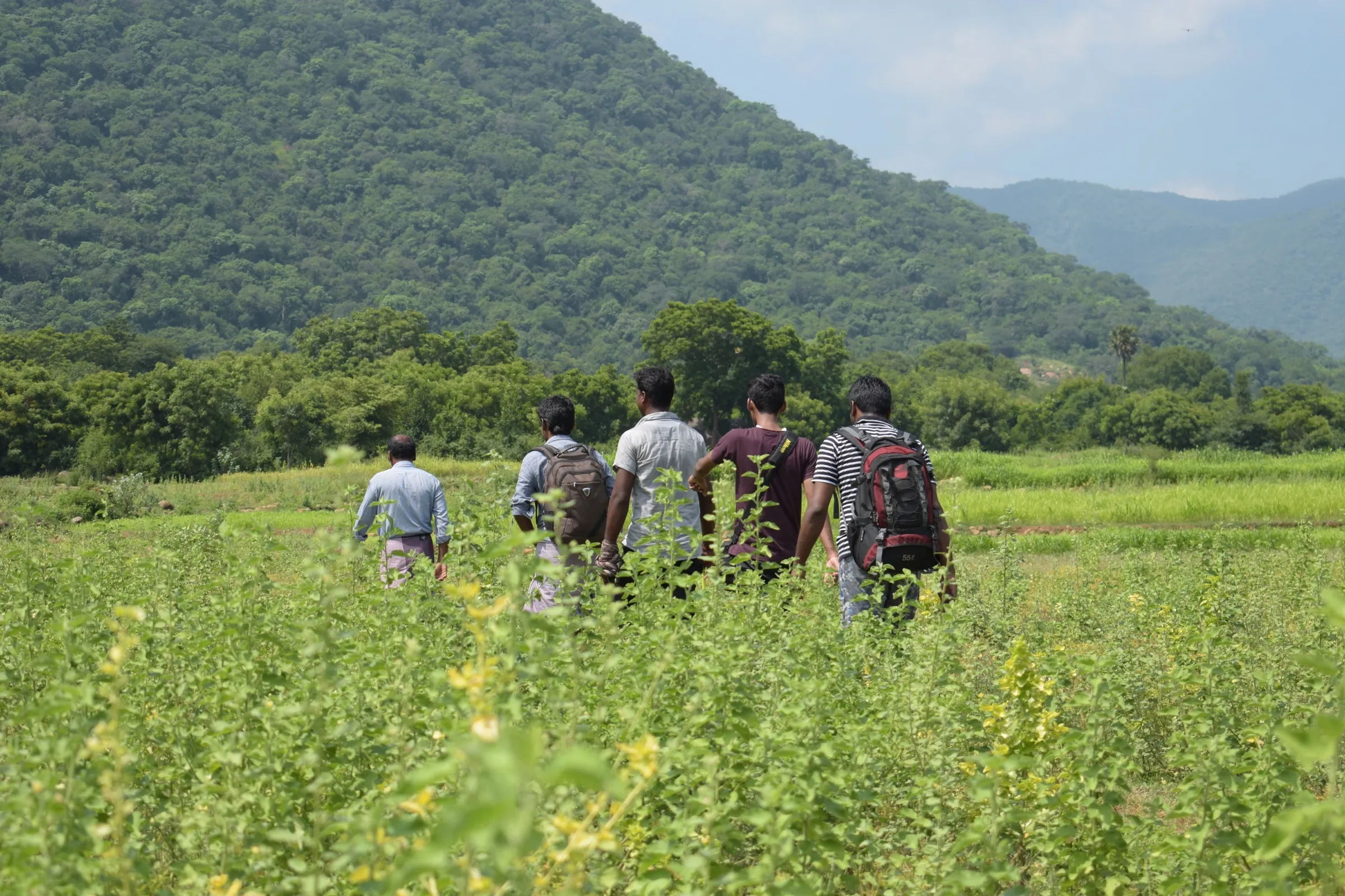
A short, gentle guided nature walk of about 1-2 km on near-level scrub-forest paths that takes about an hour; the official portal rates it Easy and says it suits most visitors.
The route
Day by day
Day 1 · highest point
Slender Loris Conservation Centre (pond) → End of the Loris Trail through the scrub jungle
400 m → 434 m → 400 m
Ups and downs
Altitude profile
Where it is
Map
Trailhead and high point only — not a recorded track. Use it with a proper map.
Weather
Next 5 days on the trail
Live forecast for the trailhead and the high point. Mountain weather changes fast — check again on the morning you start.
Trailhead · Slender Loris Conservation Centre reception point, Ayyalur
at 400 mLoading forecast…
High point · High point of the Loris Trail scrub-forest walk near the Slender Loris Conservation Centre (approximate)
at 434 mLoading forecast…
Each day: high / low °C · rain mm and chance · snow cm · wind km/h
Weather data: Open-Meteo.comModel forecast, not an official warning. For alerts follow IMD and the local administration.
Plan the trip
How to reach
- Trailhead
- Slender Loris Conservation Centre reception point, Ayyalur
- Nearest railway
- Ayyalur (about 5.3 km, per Trek Tamil Nadu)
- Nearest airport
- Tiruchirappalli International Airport (about 77 km, per Trek Tamil Nadu)
- By road
- Ayyalur bus stand (about 4.7 km); Dindigul (about 35 km by road towards Tiruchirappalli); Tiruchirappalli (about 75 km)
- Drive
- About 2.5 h from Madurai
Plan the trip
Permits and fees
| Permit | Issued by | Fee (Indian) | Fee (foreign) | How to get it |
|---|---|---|---|---|
| Trek Tamil Nadu trail booking: Loris Trail | Tamil Nadu Forest Department (Trek Tamil Nadu) | ₹499 | — | Book online at trektamilnadu.com (trail 'Loris Trail', Dindigul). The portal showed ₹499 + 5% GST per person (listed price ₹999 struck through) on 18 Oct 2026, with an 08:00 am slot and a group size of 15. The fee includes the trek permit, a guide, trek insurance on the route, a cap, a birds pamphlet and light refreshments. Report at the Slender Loris Conservation Centre reception point with photo ID. |
Plan the trip
Cost
Self-guided
₹700–2,500
With an operator
₹524
Per person, ex-Dindigul. The only way to walk this trail is the official Trek Tamil Nadu booking (₹499 + 5% GST, about ₹524, seen 18 Oct 2026), which already includes a guide; we found no private operator selling it. The upper figure is our estimate of that fee plus a bus or shared taxi from Dindigul or Tiruchirappalli to Ayyalur and food.
Gear
Top picks for this trek
The gear that matters most on this route, chosen from its altitude, season and risks.
 Ad · affiliate link
 Ad · affiliate link
 Ad · affiliate link
 Ad · affiliate link
 Ad · affiliate link
 Ad · affiliate link
- Ad · affiliate link
 Ad · affiliate link
Store buttons open a search on that store, not a product we picked. As an Amazon Associate we earn from qualifying purchases. Photos show the kind of item, not a specific product. Affiliate disclosure
Packing checklist
Matched to this trek: altitude, season, days and the risks on the route.
Packed 0 of 16
Tick each item as it goes in the bag.
Know before you go
Good to know
- Mobile network
- Not confirmed by our sources; Ayyalur sits on the Dindigul-Tiruchirappalli road, so mobile signal is likely near the centre.
- Last ATM
- Not confirmed; Ayyalur town is about 5 km away, Dindigul for certain.
- Nearest hospital
- Ayyalur Primary Health Centre (about 1.5 km, per Trek Tamil Nadu); Dindigul for serious cases
- Water
- None on the trail; carry your own water in a reusable bottle (the portal asks for one).
Highlights
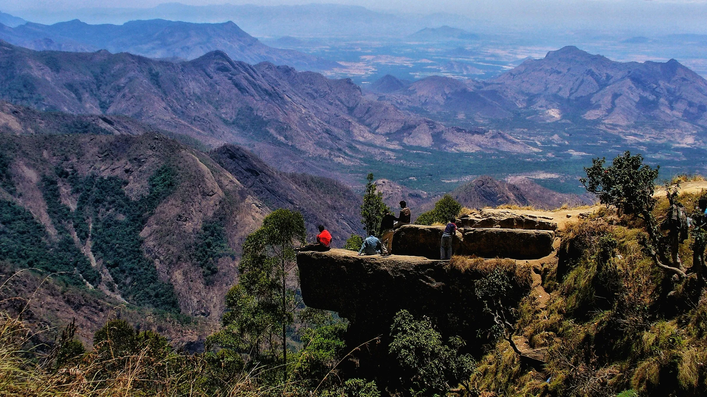
- Guided walk at India's first Slender Loris Conservation Centre, near Ayyalur in the Kadavur Slender Loris Sanctuary area
- Learning how the nocturnal grey slender loris lives on ants and termites and calls in ultrasound humans cannot hear
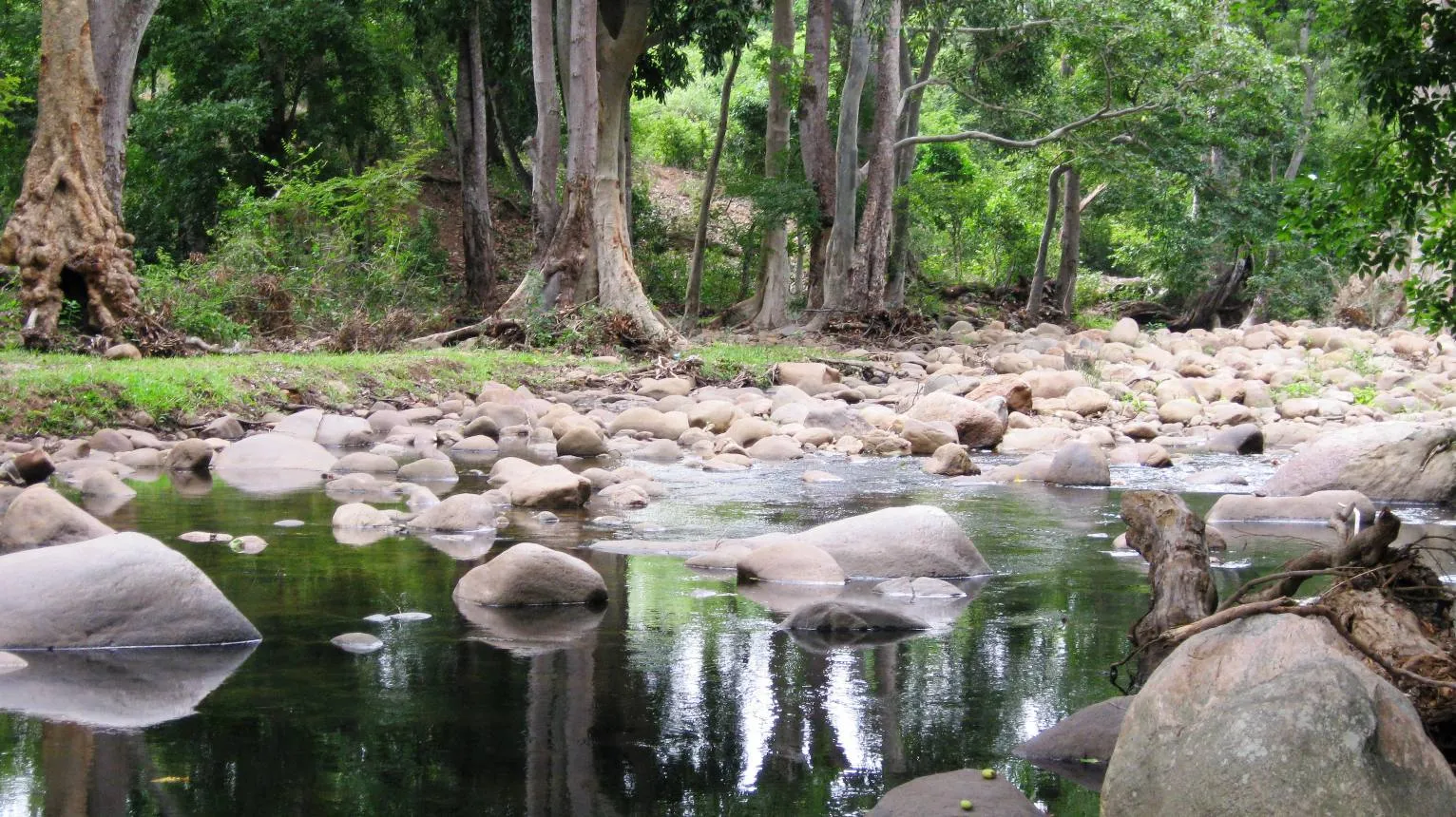
- Dry deciduous and scrub forest at the foot of the Western Ghats, with many bird species
- Short and easy enough for families and first-time walkers
- Official Trek Tamil Nadu trail with trained guides, cap, bird pamphlet and snacks included
Risks
- Walking in Tamil Nadu forests is allowed only through the official Trek Tamil Nadu booking; going in without it is not permitted.
- Sightings of the slender loris are not guaranteed; it is nocturnal and very shy. Do not use flash, torches on the animal, or noise.
- The plains around Ayyalur get very hot from March to June; carry water and a cap.
- The portal page gives the distance as 2.0 km in its trail facts but calls it a 1 km trail in the overview; expect a walk of about 1-2 km.
Know before you go
Questions
How do I book the Loris Trail?
Only through the Tamil Nadu Forest Department's Trek Tamil Nadu portal (trektamilnadu.com, trail 'Loris Trail' under Dindigul). On 18 Oct 2026 it cost ₹499 + 5% GST per person, including the permit, a guide, insurance on the route and light refreshments.
How long and how hard is the Loris Trail?
It is an easy guided walk of about 1-2 km that takes about an hour. The portal's trail facts say 2.0 km one way and Easy; its overview calls it a gentle 1 km trail suited to most visitors.
Will I see a slender loris?
Maybe, but not certainly. The grey slender loris is a small, nocturnal primate that is rarely seen. The guides explain how it lives and communicates, and the walk is designed around careful, quiet observation.
Where is the Slender Loris Conservation Centre and how do I get there?
It is near Ayyalur in Dindigul district, at the foothills of the Western Ghats. The nearest railway station is Ayyalur (about 5.3 km), the bus stand about 4.7 km, and the nearest airport Tiruchirappalli (about 77 km). Parking is available at the reception point.
In an emergency
Save these numbers before you lose signal. Tap to call.
- 112All emergenciesIndia’s single emergency number — works in every state
- 108Ambulance
- 1077District disaster control room
You are in
District: DindigulTamil Nadu
- Nearest hospital
- Ayyalur Primary Health Centre (about 1.5 km, per Trek Tamil Nadu); Dindigul for serious cases
- Last ATM
- Not confirmed; Ayyalur town is about 5 km away, Dindigul for certain.
- Phone network
- Not confirmed by our sources; Ayyalur sits on the Dindigul-Tiruchirappalli road, so mobile signal is likely near the centre.
Before you set off
- Tell someone your route and when you will be back.
- Carry a charged phone and a power bank.
- Download an offline map of the route.
- Turn back if the weather turns bad — the mountain will wait.
Questions about Loris Trail
No questions yet. Ask something and trekkers who have done it can answer.
Share your trek photo with #TreksAndTrails
I trekked this
Did Loris Trail look different from this page? Tell us what changed and we will check it.
Where this comes from
Sources
Last reviewed:
- Loris Trail - Trek Tamil Nadu — Trek Tamil Nadu (Tamil Nadu Forest Department) (official)
Photos: Kalyan Varma (Kalyanvarma), CC BY-SA 4.0