Vellagavi Trek
Dindigul, Tamil Nadu
Opens without signal on this phone, with the map file and checklist. Saved for offline →
- Max altitude
- 1,997 m
- Days
- 2 days
- Distance
- 10 km
- Difficulty
- Moderate
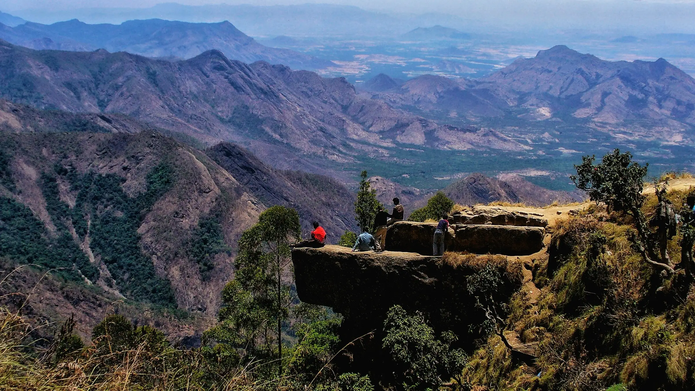
No technical sections, but the trail drops about 700 m from Vattakanal past Dolphin's Nose to Vellagavi on day 1 and climbs it all back on day 2 on narrow, rooty forest paths. The official portal rates this route moderate; the through-routes to Kumbakarai are rated tough.
Photos
On the trail
The route
Day by day
Day 1
Vattakanal → Vellagavi (camp near the village)
1,997 m → 1,300 m
Day 2 · highest point
Vellagavi (camp near the village) → Vattakanal
1,300 m → 1,997 m
Ups and downs
Altitude profile
Where it is
Map
Trailhead and high point only — not a recorded track. Use it with a proper map.
Weather
Next 5 days on the trail
Live forecast for the trailhead and the high point. Mountain weather changes fast — check again on the morning you start.
Trailhead · Vattakanal (reception point), Kodaikanal
at 1,997 mLoading forecast…
High point · Vattakanal trailhead, top of the trail above Dolphin's Nose
at 1,997 mLoading forecast…
Each day: high / low °C · rain mm and chance · snow cm · wind km/h
Weather data: Open-Meteo.comModel forecast, not an official warning. For alerts follow IMD and the local administration.
Plan the trip
How to reach
- Trailhead
- Vattakanal (reception point), Kodaikanal
- Nearest railway
- Dindigul (about 100 km); Kodai Road is a smaller nearer station
- Nearest airport
- Madurai (about 140 km)
- By road
- Kodaikanal bus stand (about 5.5-6.5 km to the Vattakanal start; taxi recommended, public transport is limited); Dindigul or Madurai by bus or taxi to Kodaikanal
- Drive
- About 4 h from Madurai
Plan the trip
Permits and fees
| Permit | Issued by | Fee (Indian) | Fee (foreign) | How to get it |
|---|---|---|---|---|
| Trek Tamil Nadu trail booking: Kodaikanal - Vellagavi (Camp Stay) | Tamil Nadu Forest Department / Tamil Nadu Wilderness Experiences Corporation (Trek Tamil Nadu) | ₹2,999 | — | Book online at trektamilnadu.com (trail 'Kodaikanal - Vellagavi (Camp Stay)'). The listed price is ₹2,999 per person + 5% GST (seen 18 Oct 2026) and includes the trek permit, forest guide, trek insurance on the route, tented stay at a camp near Vellagavi and refreshments; the camp (Old Kodai Camping or Eagle's Nest) is chosen while booking. Report at the Vattakanal reception point by the 08:00 start. Transport to the start is extra. |
Plan the trip
Cost
Self-guided
₹3,500–5,500
With an operator
₹3,149–7,979
Per person, ex-Kodaikanal for the portal booking and self-arranged trip. Every trek here is guided: the official Trek Tamil Nadu booking (₹2,999 + 5% GST = about ₹3,149, seen 18 Oct 2026) includes the forest guide, tent and meals. Bangalore Mountaineering Club sells the longer Vattakanal-Vellagavi-Kumbakarai version ex-Bengaluru at ₹7,599 + GST with tempo traveller, tents and meals. The 'self-guided' range is our estimate for doing it on your own booking: the portal fee plus a taxi to Vattakanal (and back from Kumbakarai if you take the through-route) and food in Kodaikanal; walking without the booking is not allowed.
Gear
Top picks for this trek
The gear that matters most on this route, chosen from its altitude, season and risks.
 Ad · affiliate link
 Ad · affiliate link
 Ad · affiliate link
 Ad · affiliate link
 Ad · affiliate link
 Ad · affiliate link
 Ad · affiliate link
 Ad · affiliate link
Store buttons open a search on that store, not a product we picked. As an Amazon Associate we earn from qualifying purchases. Photos show the kind of item, not a specific product. Affiliate disclosure
Packing checklist
Matched to this trek: altitude, season, days and the risks on the route.
Packed 0 of 24
Tick each item as it goes in the bag.
Know before you go
Good to know
- Mobile network
- Indiahikes says mobile signal is available at Vattakanal, Vellagavi and on most of the trail, varying by operator.
- Last ATM
- Not confirmed by our sources; use ATMs in Kodaikanal town and carry cash.
- Nearest hospital
- Kodaikanal Government Hospital (about 4 km from the start, per Trek Tamil Nadu); Periyakulam GH on the Kumbakarai side
- Water
- Few reliable streams on the trail; carry at least 2 litres per person. Refreshments and meals are served at the camp near Vellagavi.
Highlights
- Vellagavi, a centuries-old village reachable only on foot, where residents and visitors walk barefoot out of respect for the village's many deities
- Dolphin's Nose, Echo Point and Mountain View Point on the way down from Vattakanal
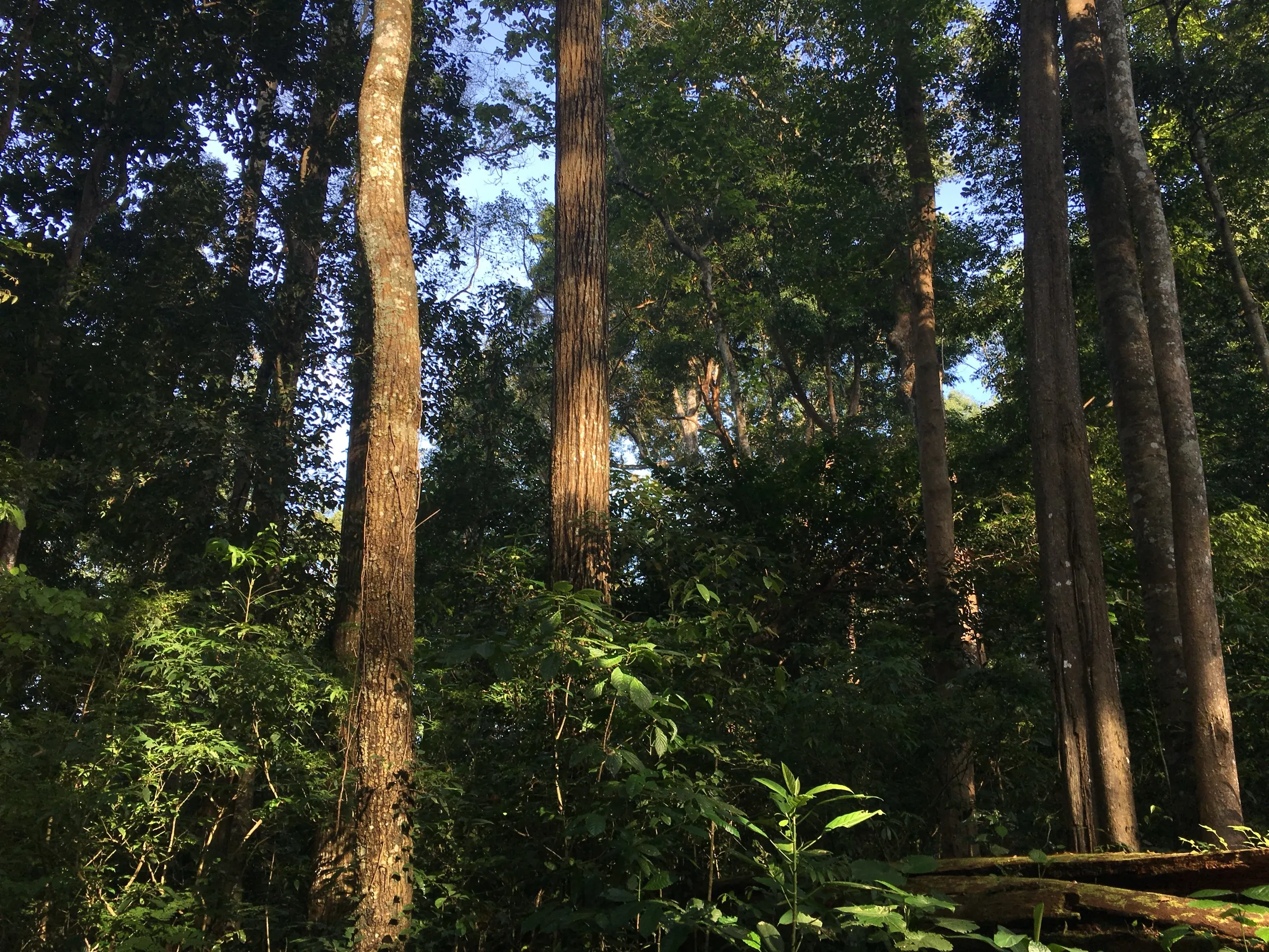
- Eucalyptus groves giving way to dense native shola forest, with pack horses carrying supplies to the village
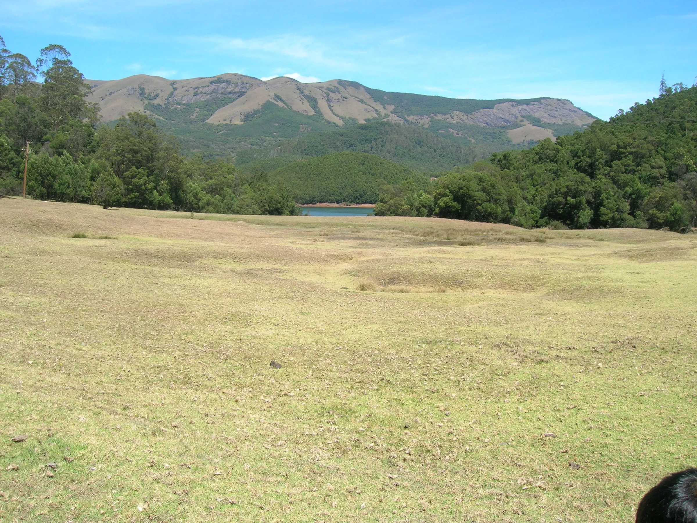
- Tented camp on an open hillside with sunset and sunrise views over the Palani Hills and the plains towards Periyakulam
- Official Trek Tamil Nadu trail with a local guide from the village
Risks
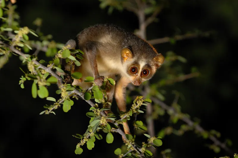
- Leopard, gaur and python live in this forest (Trek Tamil Nadu); stay with the guide.
- Day 2 is a steady 3-4 hour climb of roughly 700 m back to Vattakanal; the paths are narrow and drop steeply in places.
- Monsoon rain makes the forest trail slippery and leechy; Indiahikes calls March-May the least favourable season because of heat and humidity.
- Trekking in Tamil Nadu forests is allowed only through the official Trek Tamil Nadu booking with a forest guide; going in on your own is not permitted.
- The through-routes to or from Kumbakarai Falls (portal: 14 km one way, rated tough) involve far more climbing - about 1,700 m of gain from Kumbakarai to Vattakanal - and need separate bookings.
Know before you go
Questions
How long is the Vellagavi trek from Kodaikanal?
The official Trek Tamil Nadu 'Kodaikanal - Vellagavi (Camp Stay)' route is 10 km out and back (5 km each way) from Vattakanal, spread over 2 days with a night in a tent. Indiahikes gives about 8 km return to its campsite. The portal also sells one-way traverses between Kodaikanal and Kumbakarai Falls via Vellagavi (14 km, rated tough).
Do I need a permit for the Vellagavi trek?
Yes. It is a forest trail, and Trek Tamil Nadu (Tamil Nadu Forest Department) is the only way to book it. The booking covers the permit, a guide, insurance, the tent stay and refreshments; Indiahikes and BMC also say the permit is mandatory.
Why do people walk barefoot in Vellagavi?
Villagers do not wear footwear inside the village as a mark of respect for the deities whose shrines fill it, and visitors are asked to leave their shoes at the village entrance (Indiahikes, The Better India).
What is the best time to do the Vellagavi trek?
Indiahikes recommends October to February for cool, clear weather and views. June and early July are also possible if you accept showers; peak monsoon makes the trail slippery and March-May is warm and humid.
Is the Vellagavi trek suitable for beginners and children?
Fit beginners can do the Vattakanal side, which is mostly downhill on day 1, but the climb back on day 2 is tiring. Indiahikes says children aged 12 and above can do it with their parents; BMC accepts ages 12-50 on its version.
In an emergency
Save these numbers before you lose signal. Tap to call.
- 112All emergenciesIndia’s single emergency number — works in every state
- 108Ambulance
- 1077District disaster control room
You are in
District: DindigulTamil Nadu
- Nearest hospital
- Kodaikanal Government Hospital (about 4 km from the start, per Trek Tamil Nadu); Periyakulam GH on the Kumbakarai side
- Last ATM
- Not confirmed by our sources; use ATMs in Kodaikanal town and carry cash.
- Phone network
- Indiahikes says mobile signal is available at Vattakanal, Vellagavi and on most of the trail, varying by operator.
Before you set off
- Tell someone your route and when you will be back.
- Carry a charged phone and a power bank.
- Download an offline map of the route.
- Turn back if the weather turns bad — the mountain will wait.
Questions about Vellagavi
No questions yet. Ask something and trekkers who have done it can answer.
Share your trek photo with #TreksAndTrails
I trekked this
Did Vellagavi look different from this page? Tell us what changed and we will check it.
Where this comes from
Sources
Last reviewed:
- Kodaikanal - Vellagavi (Camp Stay) — Trek Tamil Nadu (Tamil Nadu Forest Department / TNWEC) (official)
- Trek Tamil Nadu trail list, July 2026 — Trek Tamil Nadu (Tamil Nadu Forest Department / TNWEC) (official)
- Kumbakarai - Vellagavi - Kodaikanal (Camp stay) — Trek Tamil Nadu (Tamil Nadu Forest Department / TNWEC) (official)
- A Complete Guide to the Vattakanal-Vellagavi-Kumbakarai Falls Trek — Indiahikes
- Trek to Canopy Hills, Vattakanal - Kodaikanal to Kumbakarai | Bangalore Mountaineering Club — Bangalore Mountaineering Club
- Route: Kumbakarai Falls to Vattakanal (Kodaikanal) — Fastest Known Time
- Vellagavi: the hamlet of barefoot residents near Kodaikanal — The Better India
Photos: ACKSEN, CC BY-SA 4.0; NjaanAnoop, CC BY-SA 4.0; NjaanAnoop, CC BY-SA 4.0