Kutla Trek
Kullu, Himachal Pradesh
Opens without signal on this phone, with the map file and checklist. Saved for offline →
- Max altitude
- 2,800 m
- Days
- 2 days
- Distance
- 12 km
- Difficulty
- Easy
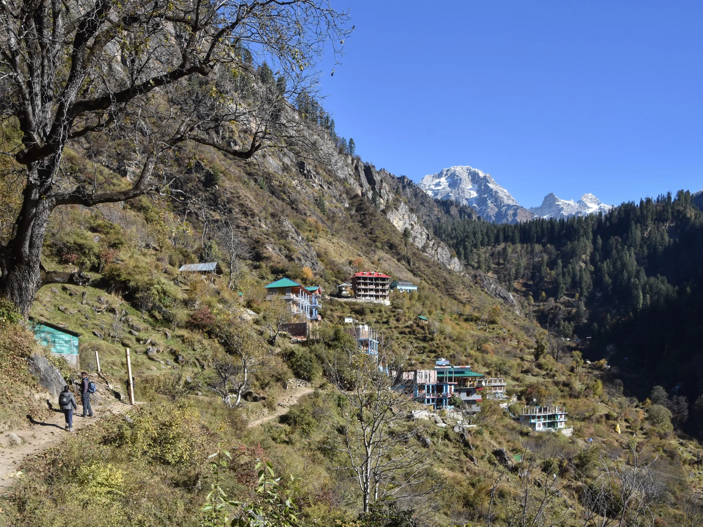
Himtrek grades it easy and suitable for beginners with basic fitness, and the walk is short. But it is not flat: past the waterfall café the trail climbs steeply and without a break for roughly 350–400 m to Kutla, it can be muddy or snowy, and Treks and Trails India calls it moderate to difficult.
Photos
On the trail
The route
Day by day
Day 1 · highest point
Tosh → Tosh (via Kutla)
2,400 m → 2,800 m → 2,400 m
Day 2
Tosh → Barshaini
2,400 m → 2,200 m
Ups and downs
Altitude profile
Where it is
Map
Trailhead and high point only — not a recorded track. Use it with a proper map.
Weather
Next 5 days on the trail
Live forecast for the trailhead and the high point. Mountain weather changes fast — check again on the morning you start.
Trailhead · Tosh
at 2,400 mLoading forecast…
High point · Kutla
at 2,800 mLoading forecast…
Each day: high / low °C · rain mm and chance · snow cm · wind km/h
Weather data: Open-Meteo.comModel forecast, not an official warning. For alerts follow IMD and the local administration.
Plan the trip
How to reach
- Trailhead
- Tosh (nearest town: Kasol)
- Nearest railway
- Chandigarh (Joginder Nagar narrow-gauge station is nearer but has few trains)
- Nearest airport
- Bhuntar (Kullu-Manali) Airport
- By road
- Bhuntar to Kasol, Manikaran and Barshaini by bus or taxi; Barshaini to Tosh by local jeep or taxi, or on foot; Overnight Volvo and HRTC buses from Delhi to Bhuntar or Kasol
- Drive
- About 13 h from Delhi
Plan the trip
Permits and fees
We could not confirm the current permit rules and fees from an official source. Check with the local forest department or tourism office before you go.
Plan the trip
Cost
Self-guided
₹800–2,500
With an operator
₹1,200–1,260
Per person, ex-Tosh. Guided prices seen October 2026: Himtrek ₹1,199 + 5% GST (tent stay at its Tosh campsite, meals from Day 1 lunch to Day 2 breakfast, trek leader and forest permits); Treks and Trails India lists ₹1,200 for its 1-night Tosh camping with a guided Kutla walk (better tents may cost more). Self-guided is our estimate: Barshaini–Tosh jeep, one night in a Tosh or Kutla guesthouse or homestay with meals, and snacks on the trail.
Gear
Top picks for this trek
The gear that matters most on this route, chosen from its altitude, season and risks.
 Ad · affiliate link
 Ad · affiliate link
 Ad · affiliate link
 Ad · affiliate link
 Ad · affiliate link
- Ad · affiliate link
 Ad · affiliate link
 Ad · affiliate link
Store buttons open a search on that store, not a product we picked. As an Amazon Associate we earn from qualifying purchases. Photos show the kind of item, not a specific product. Affiliate disclosure
Packing checklist
Matched to this trek: altitude, season, days and the risks on the route.
Packed 0 of 25
Monsoon months (Jun, Sep): pack everything in plastic or a dry bag and wear shoes with good grip.
Tick each item as it goes in the bag.
Know before you go
Good to know
- Mobile network
- Intermittent Airtel and BSNL signal at Kutla (Travel Shoebum trip report, 2018); better in Tosh.
- Last ATM
- Kasol (carry cash; food at Kutla is costly because supplies come up by horse)
- Nearest hospital
- Health centres at Manikaran and Kasol for first care; Regional Hospital Kullu for serious cases
- Water
- The trail runs beside side streams of the Tosh river and a waterfall; boil or treat all water.
Highlights
- The Tosh waterfall and its café about 40 minutes out of Tosh
- A quiet hamlet of a few guesthouses and campsites above Tosh, gateway to the Budhaban forest
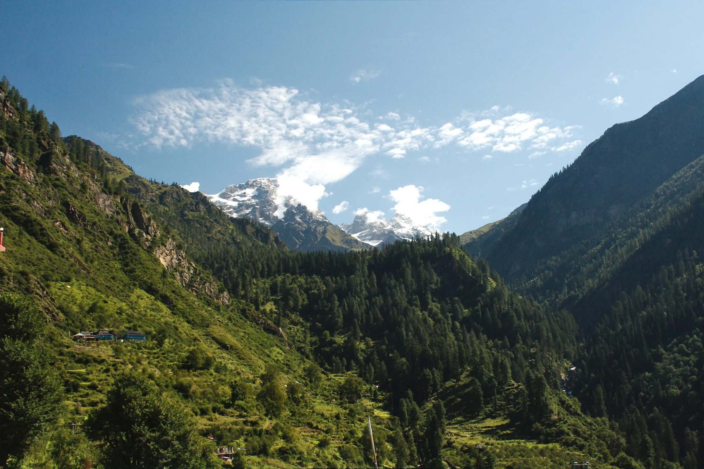
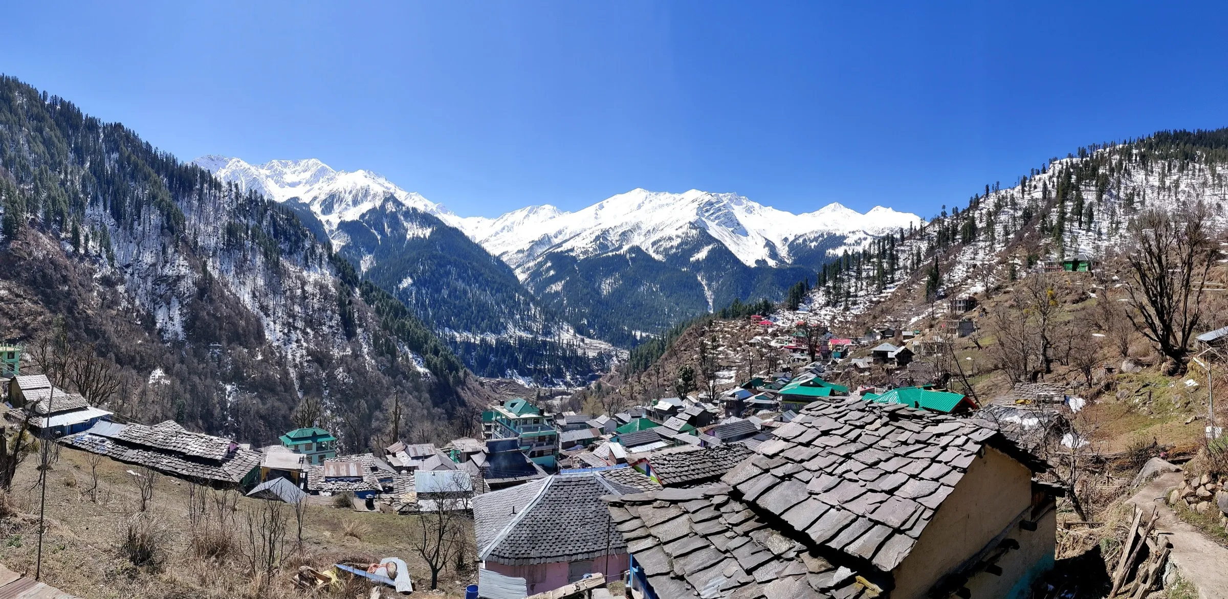
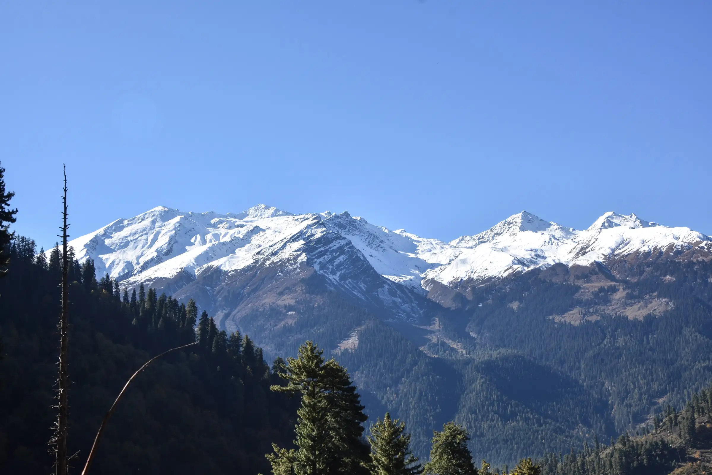
- Views of the snow-capped Parbati range across the valley
- A short overnight Himalayan walk that fits a weekend from Kasol
Risks
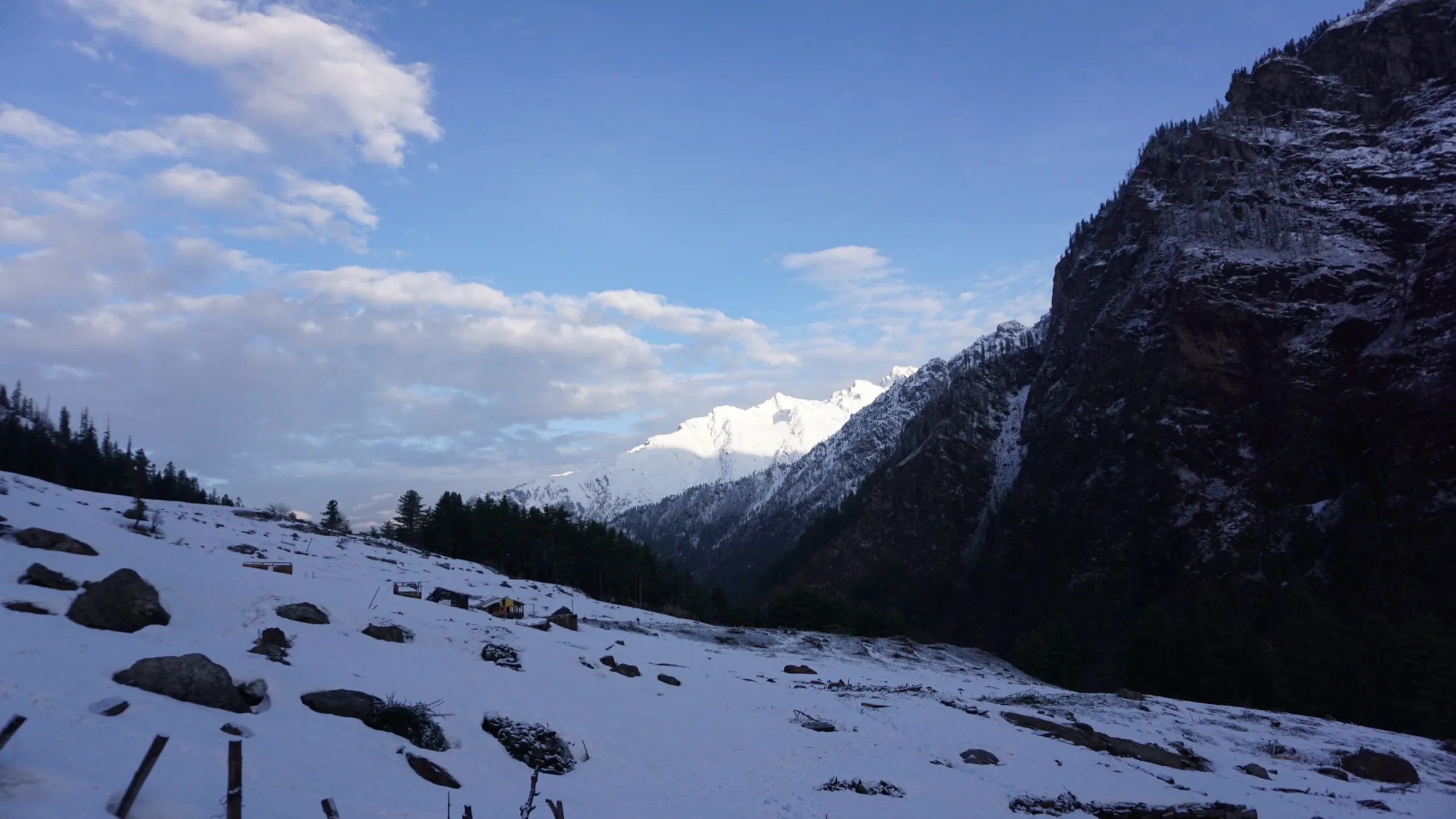
- The second half, above the waterfall café, is a steep, relentless climb; it can be muddy in the rain and holds snow patches after winter storms (a March trip report met snow).
- There are no signboards and the trail splits often; ask locals and start with plenty of daylight.
- Rocks around the waterfall and stream crossings are slippery; do not climb on wet rocks or enter fast water.
- Monsoon rain (July–August) brings slippery trails, storms and road blocks in the Parvati valley; one blog advises skipping June and August.
- Winter snow above Tosh can make Kutla hard to reach; check conditions before a December–March trip.
Know before you go
Questions
How far is Kutla from Tosh and how long does it take?
Operators and a travel blog put Kutla about 3 km beyond Tosh. Trekkers report reaching the waterfall café in about 40 minutes and Kutla in two to three hours in all, the last part being a steep climb. Himtrek's 2-day trip covers about 12 km including the walk back down to Barshaini.
How high is Kutla?
Sources give 2,650 m to 2,800 m (about 9,186 ft); satellite terrain at the mapped Kutla hamlet reads about 2,830 m. Tosh, where the walk starts, is about 2,400 m (7,874 ft).
When is the best time for the Tosh Kutla trek?
April to June and September to October. Himtrek suggests April–June and September–November; Treks and Trails India says May to October; monsoon months are wet and slippery, and winter brings snow.
Can I stay at Kutla?
Yes. Kutla has a handful of guesthouses, homestays and campsites with basic food (paratha, dal, rice, thali). Most packages camp at Tosh and walk up to Kutla and back.
Do I need a permit for the Kutla trek?
Himtrek includes forest permits in its price. We could not find a current official fee, so self-guided walkers should check with the forest office or police at Manikaran or Kasol before setting out.
In an emergency
Save these numbers before you lose signal. Tap to call.
- 112All emergenciesIndia’s single emergency number — works in every state
- 108Ambulance
- 1077District disaster control room
You are in
District: KulluHimachal Pradesh
- Nearest hospital
- Health centres at Manikaran and Kasol for first care; Regional Hospital Kullu for serious cases
- Last ATM
- Kasol (carry cash; food at Kutla is costly because supplies come up by horse)
- Phone network
- Intermittent Airtel and BSNL signal at Kutla (Travel Shoebum trip report, 2018); better in Tosh.
Before you set off
- Tell someone your route and when you will be back.
- Carry a charged phone and a power bank.
- Download an offline map of the route.
- Turn back if the weather turns bad — the mountain will wait.
Questions about Kutla
No questions yet. Ask something and trekkers who have done it can answer.
Share your trek photo with #TreksAndTrails
I trekked this
Did Kutla look different from this page? Tell us what changed and we will check it.
Where this comes from
Sources
Last reviewed:
- Tosh Kutla Trek | 2-Day Parvati Valley Adventure - Himtrek — Himtrek
- Kutla Trek With Tosh Camping | Himachal Pradesh — Treks and Trails India
- Getaway from Tosh: Kutla, Himachal Pradesh — The Land of Wanderlust
- Trek from Tosh to Kutla: Offbeat Gem in Parvati Valley — Travel Shoebum (trip report, 2018)
- Kutla Trek, and the 25ft fall — Tripoto (Divya Golyan trip report)
Photos: Timothy A. Gonsalves, CC BY-SA 4.0; Timothy A. Gonsalves, CC BY-SA 4.0; 3Hunk, CC BY-SA 4.0