Kunti Betta Trek
Mandya, Karnataka
Opens without signal on this phone, with the map file and checklist. Saved for offline →
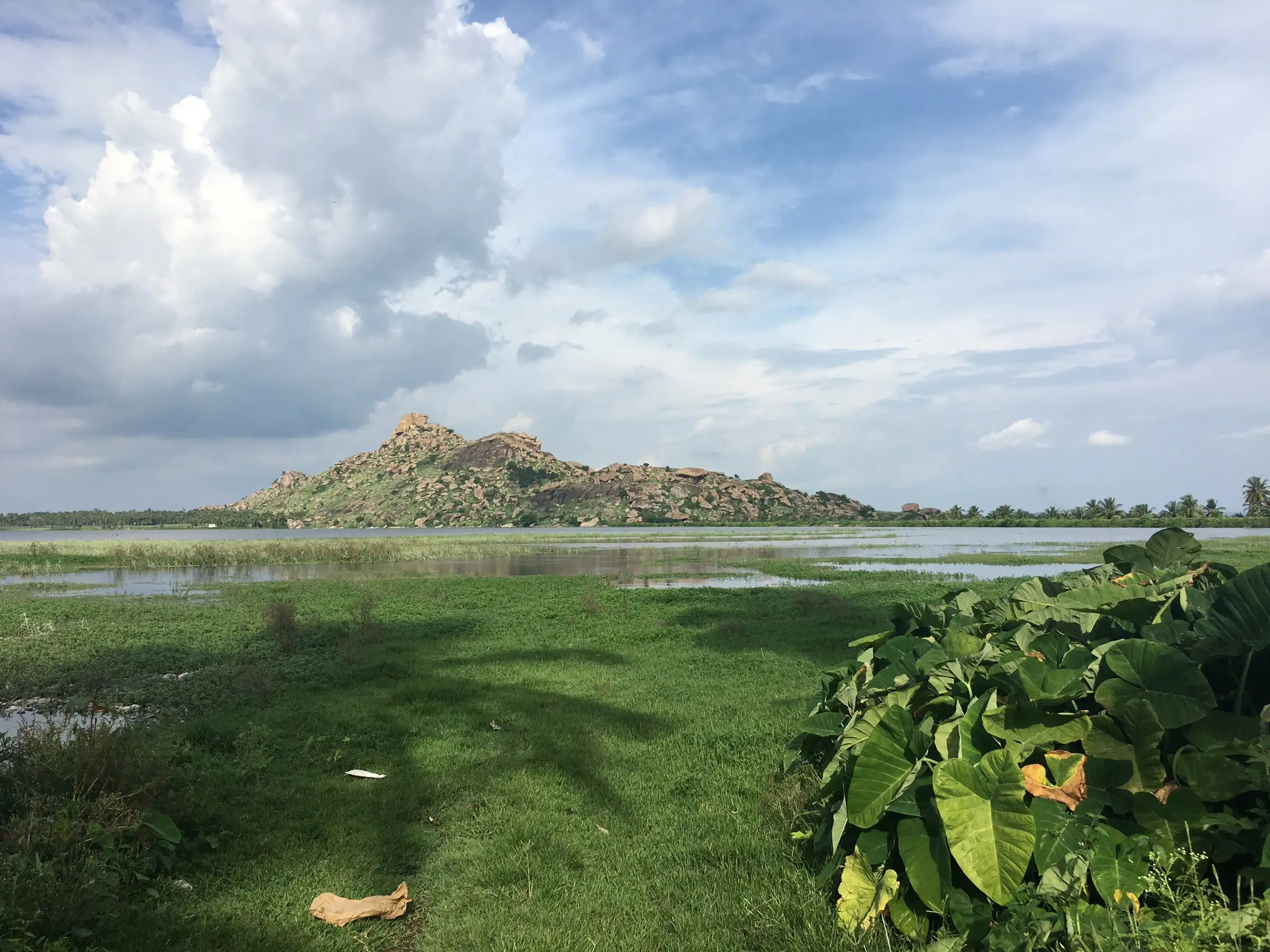
- Max altitude
- 878 m
- Days
- 1 day
- Distance
- 3.5 km
- Difficulty
- Easy
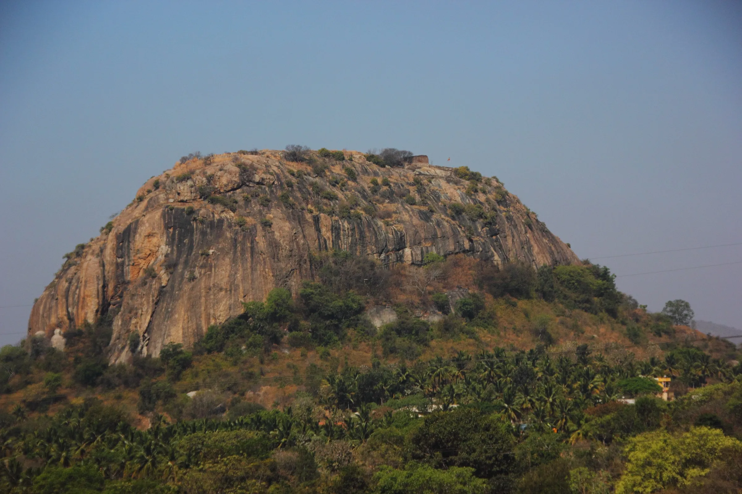
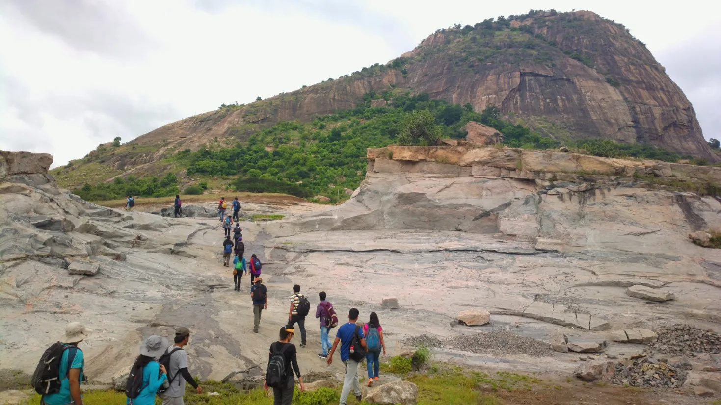
A short 3.5 km round trip of about 120 m climb, but over open granite slabs and boulders with a few hands-on scrambles; the rock is slippery on the descent and in rain, and most people climb it in the dark for sunrise.
Photos
On the trail
The route
Day by day
Day 1 · highest point
Mallikarjuna Swamy Temple, Pandavapura → Mallikarjuna Swamy Temple (via Kunti Betta summit)
760 m → 878 m → 760 m
Ups and downs
Altitude profile
Where it is
Map
Trailhead and high point only — not a recorded track. Use it with a proper map.
Weather
Next 5 days on the trail
Live forecast for the trailhead and the high point. Mountain weather changes fast — check again on the morning you start.
Trailhead · Mallikarjuna Swamy Temple, Pandavapura
at 760 mLoading forecast…
High point · Kunti Betta summit (stone pillar)
at 878 mLoading forecast…
Each day: high / low °C · rain mm and chance · snow cm · wind km/h
Weather data: Open-Meteo.comModel forecast, not an official warning. For alerts follow IMD and the local administration.
Plan the trip
How to reach
- Trailhead
- Mallikarjuna Swamy Temple, Pandavapura
- Nearest railway
- Pandavapura (PANP), about 8 km from the base
- Nearest airport
- Mysore Airport, about 39 km from Pandavapura; Kempegowda International Airport, Bengaluru, for most flights
- By road
- Bengaluru (about 125-130 km via the Bengaluru-Mysuru Expressway, exit towards Pandavapura); Mysuru (about 33-35 km); Srirangapatna (about 16 km)
- Drive
- About 3 h from Bengaluru
Plan the trip
Permits and fees
We could not confirm the current permit rules and fees from an official source. Check with the local forest department or tourism office before you go.
Plan the trip
Cost
Self-guided
₹500–1,500
With an operator
₹1,190–1,700
Per person, ex-Bengaluru, day trip. Guided prices published October 2026: Muddie Trails ₹1,190 (list price ₹1,700) with transport, breakfast and trek leader; Treks and Trails India (treksandtrails.org) ₹1,200. Self-guided is an estimate: train or KSRTC bus to Pandavapura and back, an auto to the base, and food. Indiahikes says no permit is needed because the hill is not forest or protected land; no source mentions an entry fee.
Gear
Top picks for this trek
The gear that matters most on this route, chosen from its altitude, season and risks.
 Ad · affiliate link
 Ad · affiliate link
 Ad · affiliate link
 Ad · affiliate link
- Ad · affiliate link
 Ad · affiliate link
 Ad · affiliate link
 Ad · affiliate link
Store buttons open a search on that store, not a product we picked. As an Amazon Associate we earn from qualifying purchases. Photos show the kind of item, not a specific product. Affiliate disclosure
Packing checklist
Matched to this trek: altitude, season, days and the risks on the route.
Packed 0 of 20
Monsoon months (Sep): pack everything in plastic or a dry bag and wear shoes with good grip.
Tick each item as it goes in the bag.
Know before you go
Good to know
- Mobile network
- Indiahikes reports good Airtel and Jio coverage on most of the trail.
- Last ATM
- Pandavapura town
- Nearest hospital
- Pandavapura for first care; Mandya and Mysuru for serious cases
- Water
- No water on the trail or summit; carry at least 2 litres. Bottles can be refilled at the temple at the base, and a shop near the temple sells coconut water.
Highlights
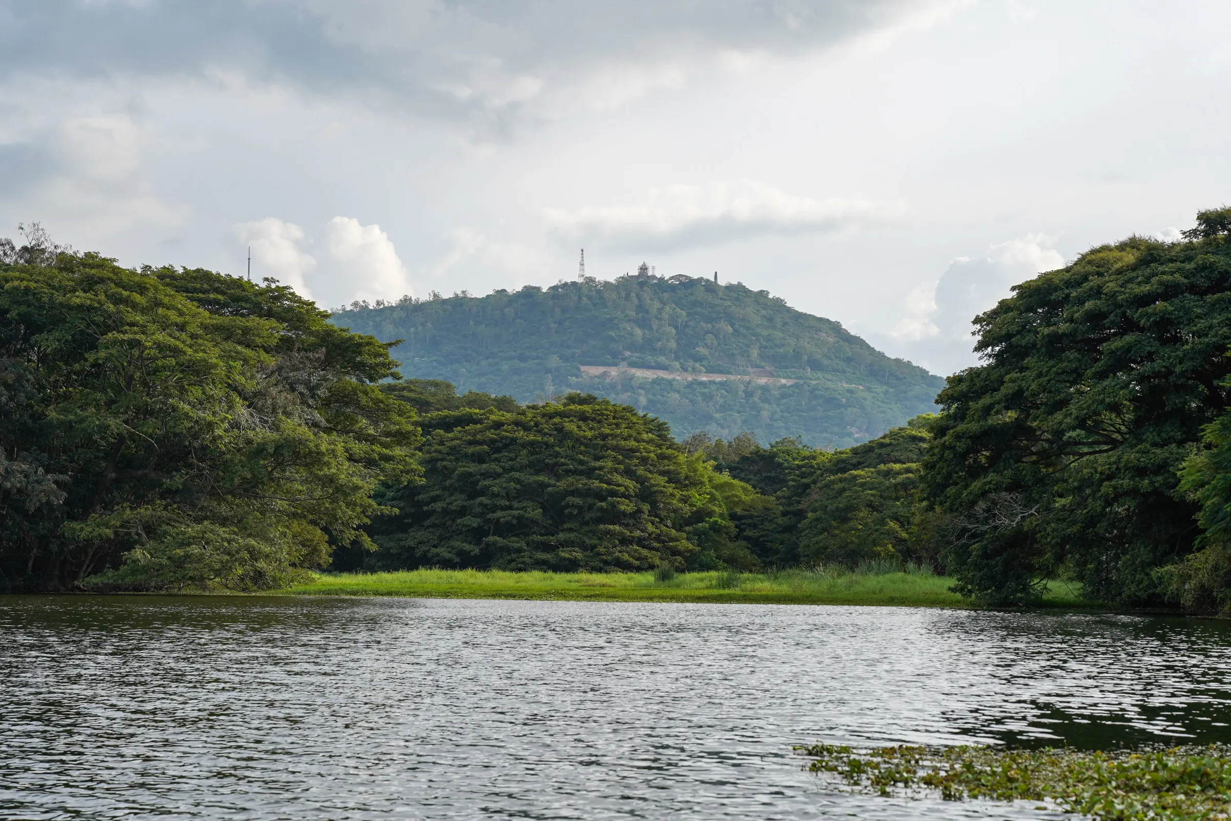
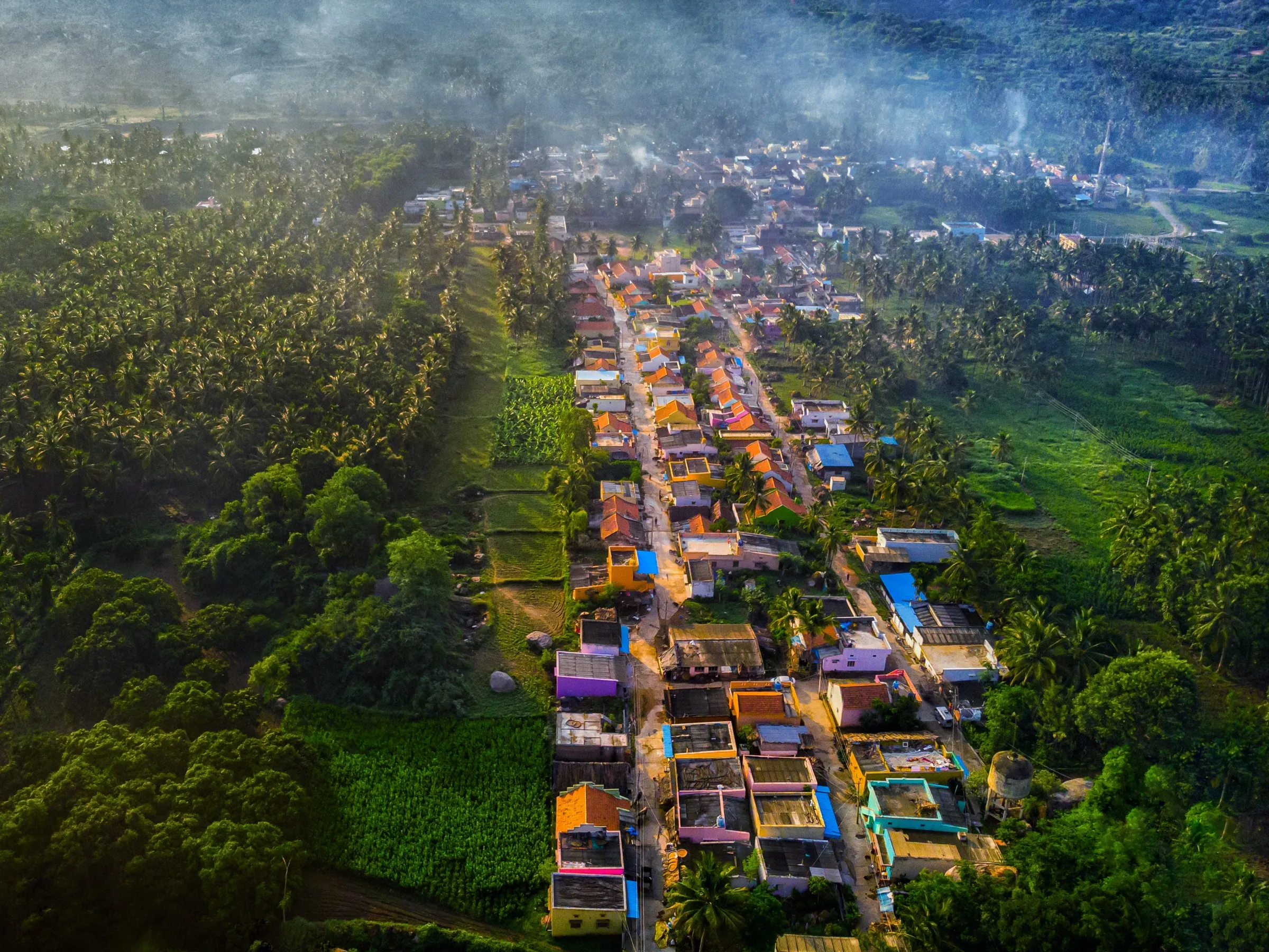
- Sunrise from the stone pillar on the summit over Hirode Kere, paddy fields, sugarcane and coconut groves
- Fun scrambling over granite boulders and slabs on a short trail
- Views of the Vishveshvarayya Canal and Hiremarali village, and the Thonnur lake below
- Pandavapura is linked with the Pandavas and Kunti Mata in the Mahabharata katha; the hill is named after Kunti Mata
- Easy to combine with Nambi Narayana temple at Thonnur, Srirangapatna or KRS Dam the same day
Risks
- Exposed granite slabs: fine sand on the rock makes the descent slippery even when dry, and the rock is slippery in July-August rain; wear shoes with good grip.
- Most groups climb in the dark for sunrise; carry a headlamp and avoid going solo at night. A wrong turn at the first junction leads onto the neighbouring hill with no trail.
- An optional direct rock scramble near the top is very steep (about 70 degrees) and best avoided, especially in the monsoon.
- Little shade: the midday sun on the rock is harsh from March to May, which is why operators switch to sunrise climbs then.
- Snakes and leopards live in the wider area (encounters are rare), and the base parking is unmonitored.
Know before you go
Questions
Do I need a permit or ticket for Kunti Betta?
Indiahikes says no permit is needed because the hill is not inside a forest or protected area; carry a government photo ID. We could not confirm any official notice, so check locally if rules change.
How long and how hard is the Kunti Betta trek?
About 3.5-4 km up and down, rated easy to moderate. The climb takes about 35-60 minutes one way over rock slabs and boulders, and the whole outing is 3-4 hours.
What is the best time to climb Kunti Betta?
September to February is the most pleasant season. Indiahikes says it can be trekked year-round: from March to June go for sunrise to avoid the heat, and in the rains take care on wet rock.
How do I reach Kunti Betta from Bengaluru?
Drive about 125-130 km (2.5-3 hours) on the Bengaluru-Mysuru Expressway and exit towards Pandavapura. By public transport, take a Mysuru-bound train to Pandavapura station (about 8 km away) or a KSRTC bus to Mandya or Srirangapatna, then an auto to the base.
Is night trekking allowed at Kunti Betta?
Yes, sunrise treks starting around 4-4:30 am are popular. Carry a good headlamp, wear grippy shoes and go with a group, as the boulder sections are tricky in the dark.
In an emergency
Save these numbers before you lose signal. Tap to call.
- 112All emergenciesIndia’s single emergency number — works in every state
- 108Ambulance
- 1077District disaster control room
You are in
District: MandyaKarnataka
- Nearest hospital
- Pandavapura for first care; Mandya and Mysuru for serious cases
- Last ATM
- Pandavapura town
- Phone network
- Indiahikes reports good Airtel and Jio coverage on most of the trail.
Before you set off
- Tell someone your route and when you will be back.
- Carry a charged phone and a power bank.
- Download an offline map of the route.
- Turn back if the weather turns bad — the mountain will wait.
Questions about Kunti Betta
No questions yet. Ask something and trekkers who have done it can answer.
Share your trek photo with #TreksAndTrails
I trekked this
Did Kunti Betta look different from this page? Tell us what changed and we will check it.
Where this comes from
Sources
Last reviewed:
- A Complete Guide to the Kunti Betta Trek — Indiahikes
- Kunti Betta Trek | Treks and Trails India — Treks and Trails India
- Kunti Betta Trek from Bangalore - Muddie Trails — Muddie Trails
- Sunrise Trek To Kunti Betta | Bangalore Mountaineering Club — Bangalore Mountaineering Club
Photos: Prashanthns, CC BY-SA 4.0; Prashanth shivanna, CC BY-SA 4.0; Shyamal, CC BY-SA 3.0