Chamundi Hills Trek
Mysuru, Karnataka
Opens without signal on this phone, with the map file and checklist. Saved for offline →
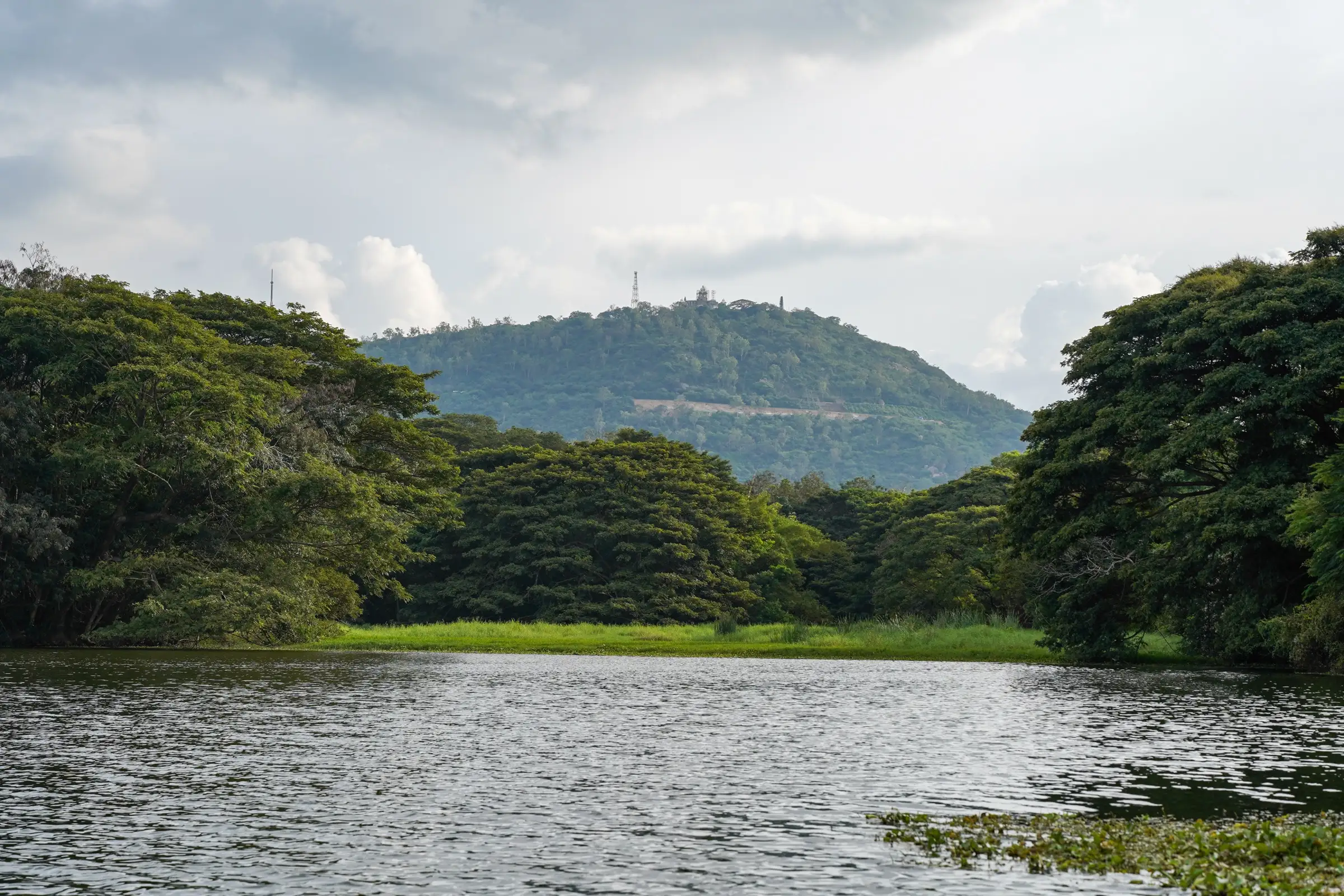
- Max altitude
- 1,063 m
- Days
- 1 day
- Distance
- 3 km
- Difficulty
- Easy
About 1,000 stone steps (1,008 by the traditional count) climb roughly 260–290 m in about 1.5 km each way. The lower half to the Nandi is the steepest; above the Nandi the steps ease off. Tiring in the heat but with no exposure or route-finding.
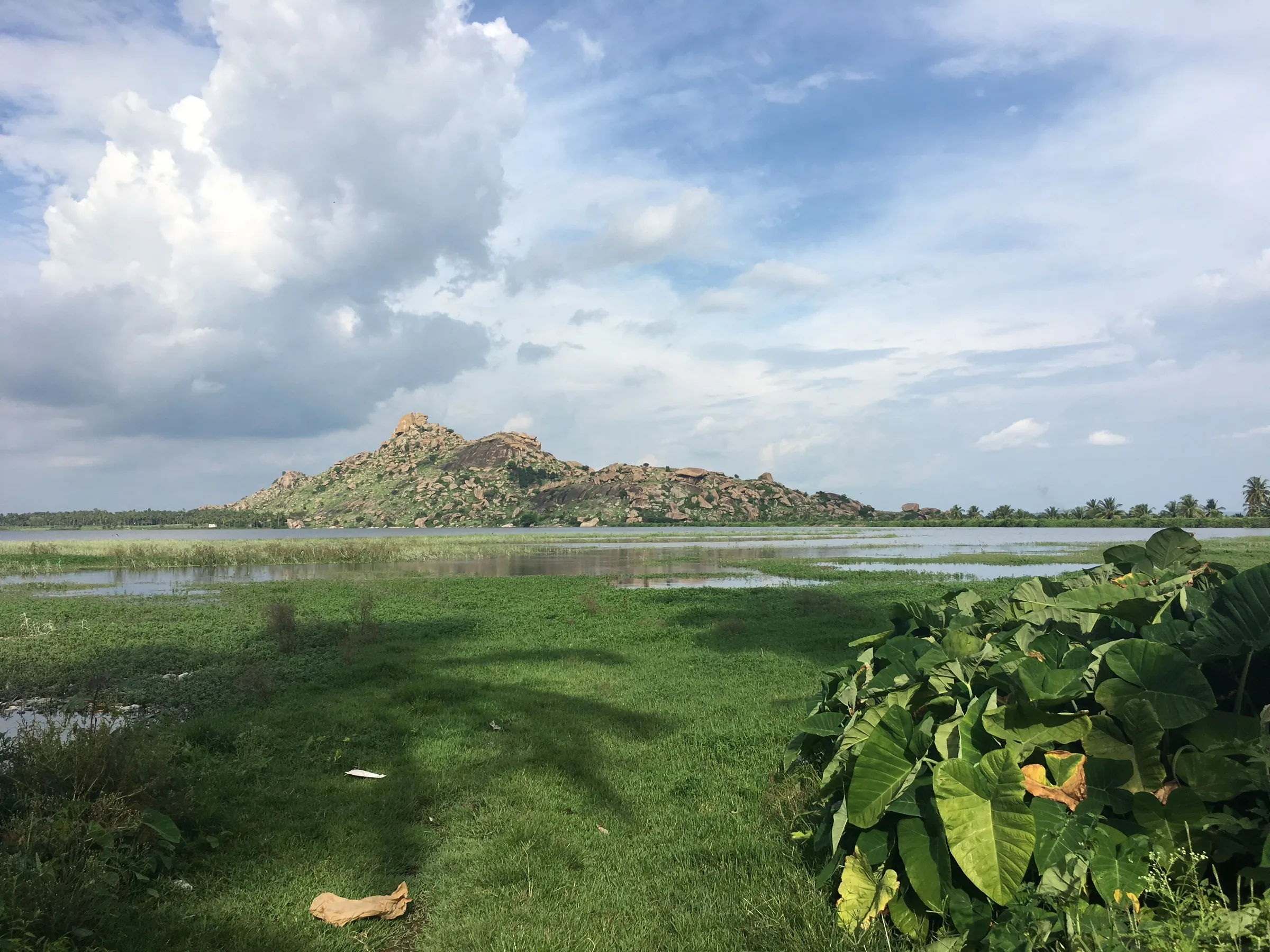
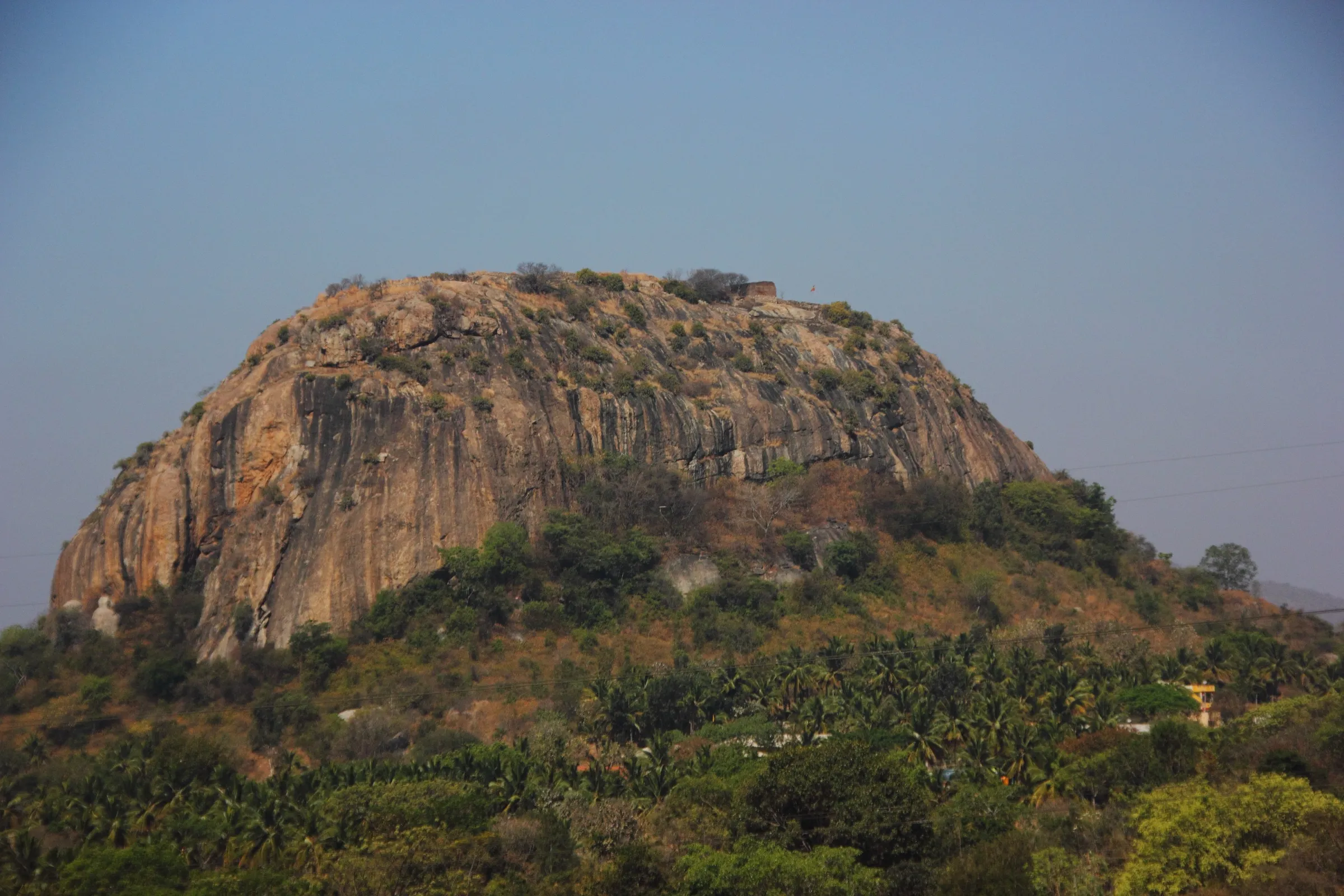
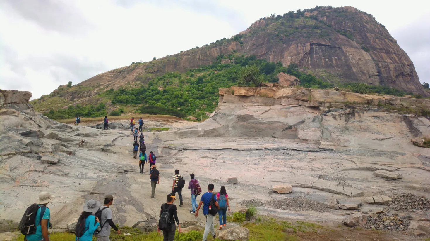
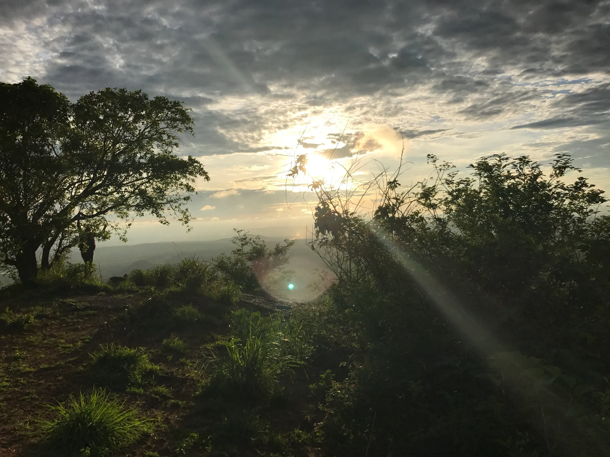
Photos
On the trail
The route
Day by day
Day 1 · highest point
Chamundi Hill foothills (Thousand Steps start) → Chamundi Hill foothills (via the Nandi and Sri Chamundeshwari Temple)
770 m → 1,063 m → 770 m
Ups and downs
Altitude profile
Where it is
Map
Trailhead and high point only — not a recorded track. Use it with a proper map.
Weather
Next 5 days on the trail
Live forecast for the trailhead and the high point. Mountain weather changes fast — check again on the morning you start.
Trailhead · Chamundi Hill foothills, start of the Thousand Steps (near JSS College)
at 770 mLoading forecast…
High point · Sri Chamundeshwari Temple, Chamundi Hill top
at 1,063 mLoading forecast…
Each day: high / low °C · rain mm and chance · snow cm · wind km/h
Weather data: Open-Meteo.comModel forecast, not an official warning. For alerts follow IMD and the local administration.
Plan the trip
How to reach
- Trailhead
- Chamundi Hill foothills, start of the Thousand Steps (near JSS College) (nearest town: Mysuru)
- Nearest railway
- Mysuru Junction (about 13 km to the temple by road; the foot of the steps is closer to the city)
- Nearest airport
- Mysuru Airport, Mandakalli (about 15 km); Kempegowda International Airport, Bengaluru for most flights
- By road
- Mysuru city: auto-rickshaw or taxi to the foot of the steps off the Mysuru–Nanjangud road (about 4–5 km from the city bus stand); Mysuru city: KSRTC city buses run up the hill road to the temple if you want to walk down only; Bengaluru (about 150–160 km by the Bengaluru–Mysuru expressway)
- Drive
- About 3 h from Bengaluru
Plan the trip
Permits and fees
We could not confirm the current permit rules and fees from an official source. Check with the local forest department or tourism office before you go.
Plan the trip
Cost
Self-guided
₹100–500
With an operator
₹3,200–4,500
Per person, ex-Mysuru. No operator sells a steps-only guided climb. Guided prices seen: AvyGeo lists guided Chamundi temple and city tours from ₹3,200 (October 2026); Youth Hostels Association of India's Karnataka branch charged ₹4,500 for its 5-day 'Mystic Trails of Mysuru' programme (Feb 2025), which includes Chamundi along with other hills. Self-guided is an estimate: an auto or city bus to the foot of the steps and back, water and a snack. We found no fee for using the steps; general darshan at the temple is free (a ₹2,000 special darshan ticket is sold on crowded days).
Gear
Top picks for this trek
The gear that matters most on this route, chosen from its altitude, season and risks.
 Ad · affiliate link
 Ad · affiliate link
 Ad · affiliate link
 Ad · affiliate link
 Ad · affiliate link
 Ad · affiliate link
 Ad · affiliate link
- Ad · affiliate link
Store buttons open a search on that store, not a product we picked. As an Amazon Associate we earn from qualifying purchases. Photos show the kind of item, not a specific product. Affiliate disclosure
Packing checklist
Matched to this trek: altitude, season, days and the risks on the route.
Packed 0 of 18
Tick each item as it goes in the bag.
Know before you go
Good to know
- Mobile network
- The hill sits on the edge of Mysuru city; mobile coverage is generally available, but our sources do not confirm it for the whole stairway.
- Last ATM
- Mysuru city, close to the foot of the steps
- Nearest hospital
- A primary health centre at Chamundipuram village on the hilltop for first care; Mysuru city hospitals (about 13 km by road) for anything serious
- Water
- Drinking water and toilets are provided at the temple on top; small stalls near the Nandi and the temple sell water. Carry 1 litre for the climb.
Highlights
- Darshan of Devi Chamundeshwari, Mahishasura Mardini and the family deity of the Mysuru royal family, at the hilltop temple with its seven-tiered gopuram
- The stone stairway of about 1,000 steps laid by Dodda Devaraja Wodeyar in the 1660s, where many pilgrims smear turmeric and kumkum on each step as an offering
- The monolithic Nandi halfway up, carved from one black granite rock, about 4.9 m tall and 7.6 m long — one of the largest in India
- Wide views over Mysuru city, the Palace, Karanji Lake and the race course from the upper steps
- A 613-hectare reserve forest with nearly 200 bird species and about 150 butterfly species around the stairway
Risks
- The steps are open only in daylight hours: during Ashada 2026 the temple administration allowed climbing from 5 am and closed the steps at 5 pm. Check timings locally before an early or late climb.
- Leopards live in the Chamundi Hill reserve forest and have been sighted near the hill roads; climb in daylight, in a group, and stay on the steps.
- Bonnet macaques on the steps snatch food, bags and offerings; keep food packed away.
- Very heavy crowds on Ashada Fridays (June–July), during Dasara (September–October) and on weekends and holidays; private vehicles may be stopped from going up the hill on festival days.
- March to May is hot and humid on the exposed steps; start at dawn. The stone gets slippery in monsoon rain (June–September).
- This is a temple stairway, not an Aranya Vihaara forest trek. Karnataka's Chief Wildlife Warden suspended forest trekking paths in leopard, tiger, elephant and bear areas on 11 May 2026; that circular is aimed at forest trekking routes, but do not leave the stairway for side trails into the reserve forest.
Know before you go
Questions
How many steps are there to the Chamundi Hills temple?
About 1,000. The traditional count is 1,008 steps, laid in the 1660s under Dodda Devaraja Wodeyar. The steps start at the foot of the hill on the Mysuru city side and end at the Chamundeshwari temple.
How long does it take to climb the Chamundi Hills steps?
Allow about an hour to climb at an easy pace and less to come down, and 2–3 hours with darshan and the Nandi. The route is about 1.5 km each way with roughly 260 m of climb (a recorded up-and-down run is 1.95 miles with 844 ft of gain). From the Nandi to the temple is only about 15 minutes.
What are the timings of the Chamundi Hills steps and the temple?
The Mysuru district administration lists temple darshan from 7:30 am to 2 pm, 3 pm to 6 pm and 7:30 pm to 9 pm. In July 2026 the temple administration said climbing on the steps is allowed from 5 am and the steps close at 5 pm.
Can I drive to the top instead of climbing?
Yes. A road and KSRTC city buses reach the temple. Many pilgrims climb the steps as a vow and take the bus back, or ride up and walk down past the Nandi.
How high is Chamundi Hill?
The temple stands at about 3,489 ft (1,063 m) above sea level according to the Mysuru district administration. The steps start at about 770 m, so the climb is close to 300 m.
Is there an entry fee for the steps?
We found no fee for walking up the steps. General darshan is free; on crowded days the temple sells a ₹2,000 special darshan ticket, which is optional.
In an emergency
Save these numbers before you lose signal. Tap to call.
- 112All emergenciesIndia’s single emergency number — works in every state
- 108Ambulance
- 1077District disaster control room
You are in
District: MysuruKarnataka
- Nearest hospital
- A primary health centre at Chamundipuram village on the hilltop for first care; Mysuru city hospitals (about 13 km by road) for anything serious
- Last ATM
- Mysuru city, close to the foot of the steps
- Phone network
- The hill sits on the edge of Mysuru city; mobile coverage is generally available, but our sources do not confirm it for the whole stairway.
Before you set off
- Tell someone your route and when you will be back.
- Carry a charged phone and a power bank.
- Download an offline map of the route.
- Turn back if the weather turns bad — the mountain will wait.
Questions about Chamundi Hills
No questions yet. Ask something and trekkers who have done it can answer.
Share your trek photo with #TreksAndTrails
I trekked this
Did Chamundi Hills look different from this page? Tell us what changed and we will check it.
Where this comes from
Sources
Last reviewed:
- Chamundi Hill | District Mysuru, Government of Karnataka — Mysuru District Administration (Government of Karnataka) (official)
- Chamundi Hills — Wikipedia
- Chamundi Hills | Chamudeshwari | Nandi at Mysore | Mahishasura — Karnataka.com
- Route: Chamundi 1008 Steps (India) — Fastest Known Time
- Chamundi Hill — Mysore Nature
- Dignitaries Can No Longer Take Their Bunch Of Supporters To Chamundi Hills During Ashada — Deccan Chronicle
- Chamundeshwari Temple — Divine Traveller
Photos: Timothy A. Gonsalves, CC BY-SA 4.0; Ankur Panchbudhe from Pune, India, CC BY-SA 2.0; Sneha G Gupta, CC BY-SA 4.0