Kumta Gokarna Trek
Uttara Kannada, Karnataka
Opens without signal on this phone, with the map file and checklist. Saved for offline →
- Max altitude
- 22 m
- Days
- 3 days
- Distance
- 21 km
- Difficulty
- Easy
Mostly a flat beach walk at sea level with a few low headland crossings, but about 21 km over two days in hot sun, two short scrambles over slippery shore rocks, a faint thorny climb to Kagal fort and a tide-dependent rocky cove make it tiring for unfit walkers.
Photos
On the trail
The route
Day by day
Day 1
Kumta bus stand (after the overnight bus from Bengaluru) → Kumta Beach, Vannalli (local bus)
10 m → 5 m
Day 2 · highest point
Kumta Beach, Vannalli → Heaven Beach / Belekan Beach (via Nirvana Bay, Kagal fort and the Aghanashini ferry)
5 m → 22 m → 5 m
Day 3
Belekan Beach → Gokarna Beach (via Paradise, Half Moon, Om and Kudle beaches)
5 m → 5 m
Ups and downs
Altitude profile
Where it is
Map
Trailhead and high point only — not a recorded track. Use it with a proper map.
Weather
Next 5 days on the trail
Live forecast for the trailhead and the high point. Mountain weather changes fast — check again on the morning you start.
Trailhead · Kumta Beach, Vannalli
at 5 mLoading forecast…
High point · Kagal fort on Nirvana cliff (highest point of the route)
at 22 mLoading forecast…
Each day: high / low °C · rain mm and chance · snow cm · wind km/h
Weather data: Open-Meteo.comModel forecast, not an official warning. For alerts follow IMD and the local administration.
Plan the trip
How to reach
- Trailhead
- Kumta Beach, Vannalli
- Nearest railway
- Kumta (Konkan Railway) at the start; Gokarna Road at the end
- Nearest airport
- Goa (Dabolim), about 150 km
- By road
- Bengaluru (KSRTC and private buses to Kumta, 9-12 hours); Gokarna to Bengaluru: a few evening KSRTC buses, all via Kumta
- Drive
- About 10 h from Bengaluru
Plan the trip
Permits and fees
We could not confirm the current permit rules and fees from an official source. Check with the local forest department or tourism office before you go.
Plan the trip
Cost
Self-guided
₹2,500–4,500
With an operator
₹4,400–4,500
Per person, ex-Bengaluru. Guided prices published in 2026: Bikat Adventures ₹4,200 + 5% GST Bangalore to Bangalore (transport, camping, meals on trek); Treks and Trails India (treksandtrails.org, not related to this site) ₹4,199 + 5% GST ex-Mumbai including sleeper-class train. Self-guided is an estimate: Bengaluru-Kumta and Gokarna-Bengaluru buses at ₹500-900 each way (Indiahikes), the Aghanashini ferry, village meals, and a tent or a guesthouse room near Belekan Beach.
Gear
Top picks for this trek
The gear that matters most on this route, chosen from its altitude, season and risks.
 Ad · affiliate link
 Ad · affiliate link
 Ad · affiliate link
 Ad · affiliate link
 Ad · affiliate link
 Ad · affiliate link
 Ad · affiliate link
 Ad · affiliate link
Store buttons open a search on that store, not a product we picked. As an Amazon Associate we earn from qualifying purchases. Photos show the kind of item, not a specific product. Affiliate disclosure
Packing checklist
Matched to this trek: altitude, season, days and the risks on the route.
Packed 0 of 26
Tick each item as it goes in the bag.
Know before you go
Good to know
- Mobile network
- All major mobile networks work at Kumta (Bikat); expect patchy signal on the headlands between beaches.
- Last ATM
- Gudeangadi village, about halfway along Nirvana Bay on day 2 (Indiahikes); Gokarna town at the end
- Nearest hospital
- Kumta town for first care; Gokarna town at the northern end
- Water
- On day 2 drinking water is available only at Vannalli, Gudeangadi village and the foot of Nirvana cliff (Indiahikes). Shacks at Paradise, Half Moon, Om and Kudle beaches sell water and food on day 3. Carry at least 2 litres.
Highlights
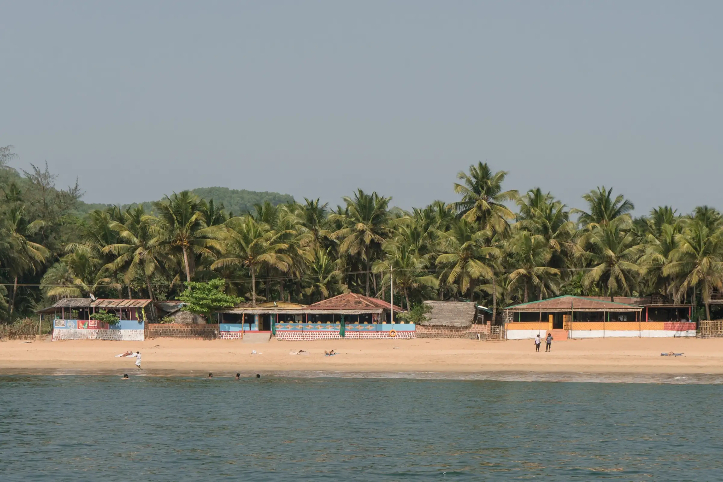
- About 10-15 beaches in two walking days, from quiet fishing-village sands at Vannalli and the 8 km sweep of Nirvana Bay to Paradise, Half Moon, Om and Kudle beaches
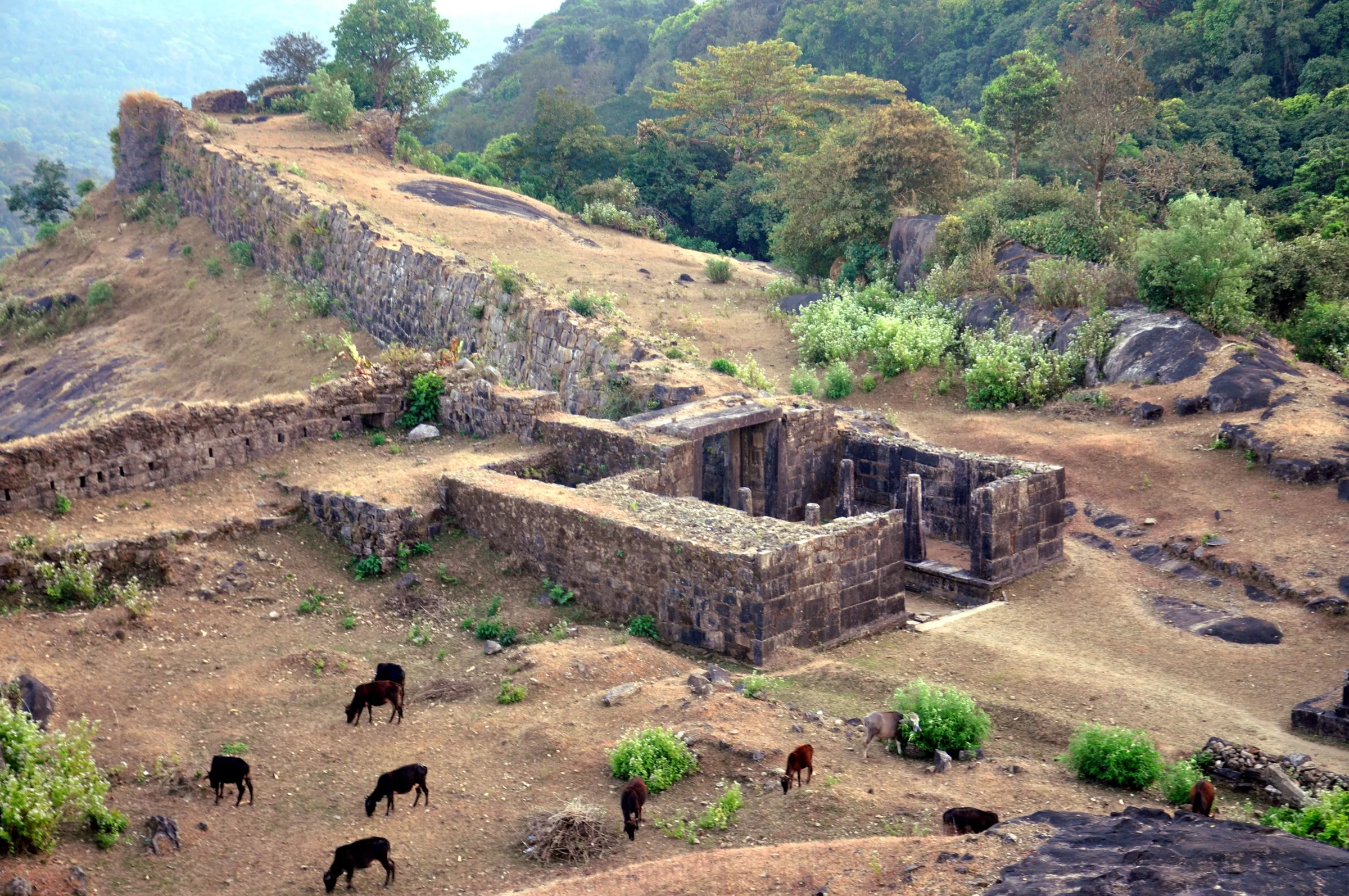
- Views over Nirvana Bay, the Aghanashini river mouth and Gokarna from the ruined Kagal fort on Nirvana cliff
- A local ferry across the kilometre-wide Aghanashini river mouth, then a night camped by the sea near Belekan (Heaven) Beach
- The walk ends at Gokarna, the temple town of Bhagwan Shiva's Mahabaleshwar temple
Risks
- Tides: the rocky stretch between Vannalli and Mangodlu beaches and the small cove beyond Heaven Beach must be crossed over slippery, sharp rocks; at high tide you may have to wade through waves. Check tide times and cross these at low tide.
- The climb to Kagal fort on Nirvana cliff has no clear trail, with steep gravel and thorny bushes; if you cannot find the way, walk the road to Aghanashini instead.
- Rocky headlands are slippery when wet; do not swim at high tide or where currents are strong, and swim only at the busy beaches.
- The Aghanashini ferry runs about every 30 minutes and the last one leaves around 6.30 pm (Indiahikes); missing it strands you on the south bank.
- Heat and sun: long stretches on open sand with water at only a few points on day 2.
- Monsoon (June-September): operators run the trek only in the dry season; rough seas and slippery headlands make it risky then.
- Parts of Heaven Beach are private property and signboards prohibit illegal camping in public places; ask locals before passing and camp only at accepted spots.
- Karnataka context: on 11 May 2026 the Chief Wildlife Warden suspended all forest trekking paths in leopard, tiger, elephant and bear areas until each is certified. This coastal walk is not a portal-booked forest trek, but check locally whether any forest stretch (such as the wooded headland before Paradise Beach) is restricted.
Know before you go
Questions
How long is the Kumta to Gokarna beach trek?
About 20-22 km over two walking days. Bikat Adventures gives 12 km from Kumta beach to Heaven Beach and 9 km on to Gokarna; Indiahikes gives 12.8 km and 9 km. Most groups add an overnight bus from Bengaluru, making it a 3-day trip.
Is the Kumta Gokarna trek suitable for beginners?
Yes. Operators rate it easy (Indiahikes says easy-moderate) and no prior trekking experience is needed. But walking about 20 km on sand in the sun, plus two rocky shore sections and the climb to Kagal fort, needs reasonable fitness.
What is the best time for the Kumta Gokarna beach trek?
After the monsoon, in the dry winter months. Indiahikes suggests November to February; Bikat Adventures says January and February; other operators say October to March.
How do you cross the Aghanashini river on the trek?
By the local ferry between Aghanashini village and Tadadi. Indiahikes says the river is about a kilometre wide at the mouth, the ferry runs about every 30 minutes and the last one leaves around 6.30 pm.
Can I do the trek from Gokarna to Kumta instead?
Yes. Indiahikes notes you can start at Gokarna and walk south: you begin among crowds at Kudle and Om beaches and end on almost empty beaches, and you can time the ferry to watch the sunset from Kagal fort.
In an emergency
Save these numbers before you lose signal. Tap to call.
- 112All emergenciesIndia’s single emergency number — works in every state
- 108Ambulance
- 1077District disaster control room
You are in
District: Uttara KannadaKarnataka
- Nearest hospital
- Kumta town for first care; Gokarna town at the northern end
- Last ATM
- Gudeangadi village, about halfway along Nirvana Bay on day 2 (Indiahikes); Gokarna town at the end
- Phone network
- All major mobile networks work at Kumta (Bikat); expect patchy signal on the headlands between beaches.
Before you set off
- Tell someone your route and when you will be back.
- Carry a charged phone and a power bank.
- Download an offline map of the route.
- Turn back if the weather turns bad — the mountain will wait.
Questions about Kumta Gokarna
No questions yet. Ask something and trekkers who have done it can answer.
Share your trek photo with #TreksAndTrails
I trekked this
Did Kumta Gokarna look different from this page? Tell us what changed and we will check it.
Where this comes from
Sources
Last reviewed:
- Gokarna Beach Trek - A Beach Trekking Experience Near Goa — Bikat Adventures
- Kumta to Gokarna Beach Trek - A trek through unknown beach trails — Indiahikes
- Kumta to Gokarna: Scenic Coastal Trekking — Treks and Trails India (treksandtrails.org)
- Kumta Gokarna Trek: Scenic Coastal Trail in Karnataka — TrekUp India
Photos: Alexey Komarov, CC BY-SA 4.0; Sourabh.biswas003, CC BY-SA 4.0; Sourabh.biswas003, CC BY-SA 4.0