Kurinjal Trek
Chikkamagaluru, Karnataka
Opens without signal on this phone, with the map file and checklist. Saved for offline →
- Max altitude
- 1,100 m
- Days
- 1 day
- Distance
- 11 km
- Difficulty
- Moderate
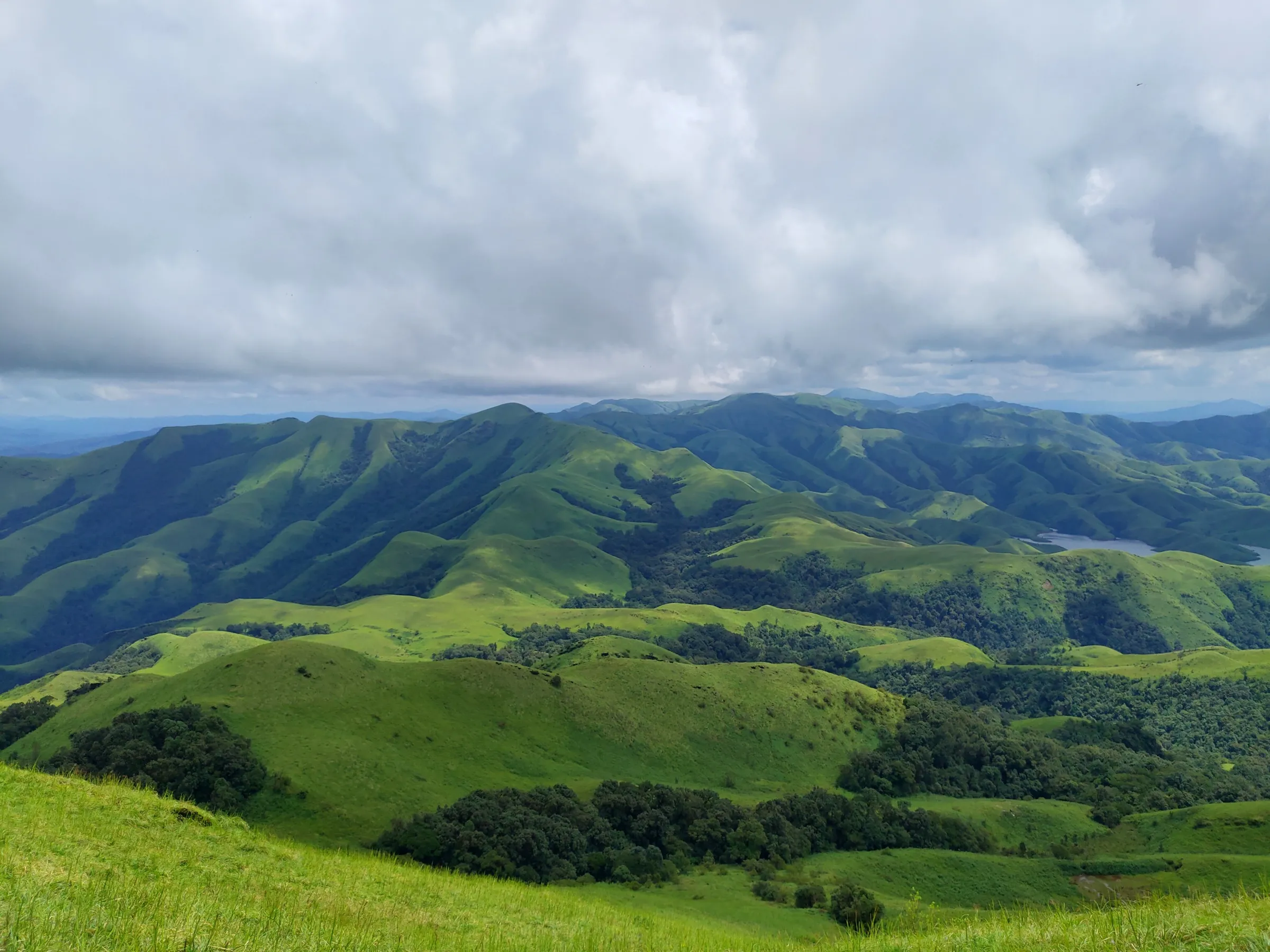
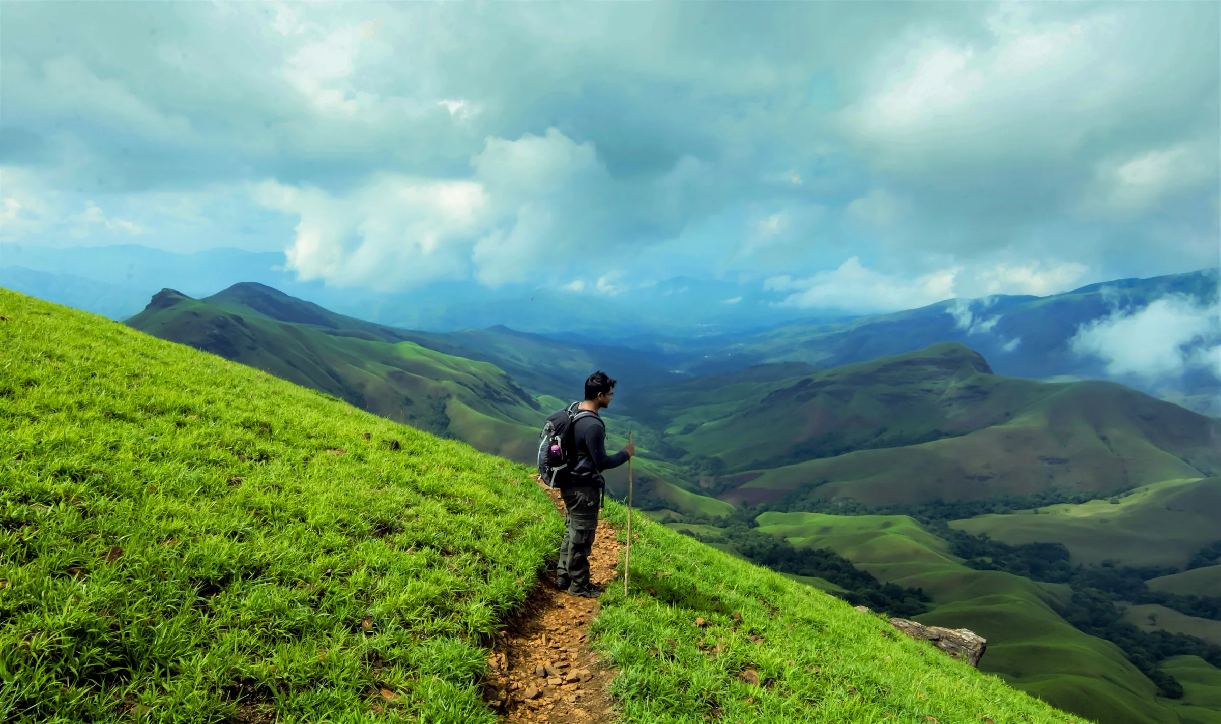
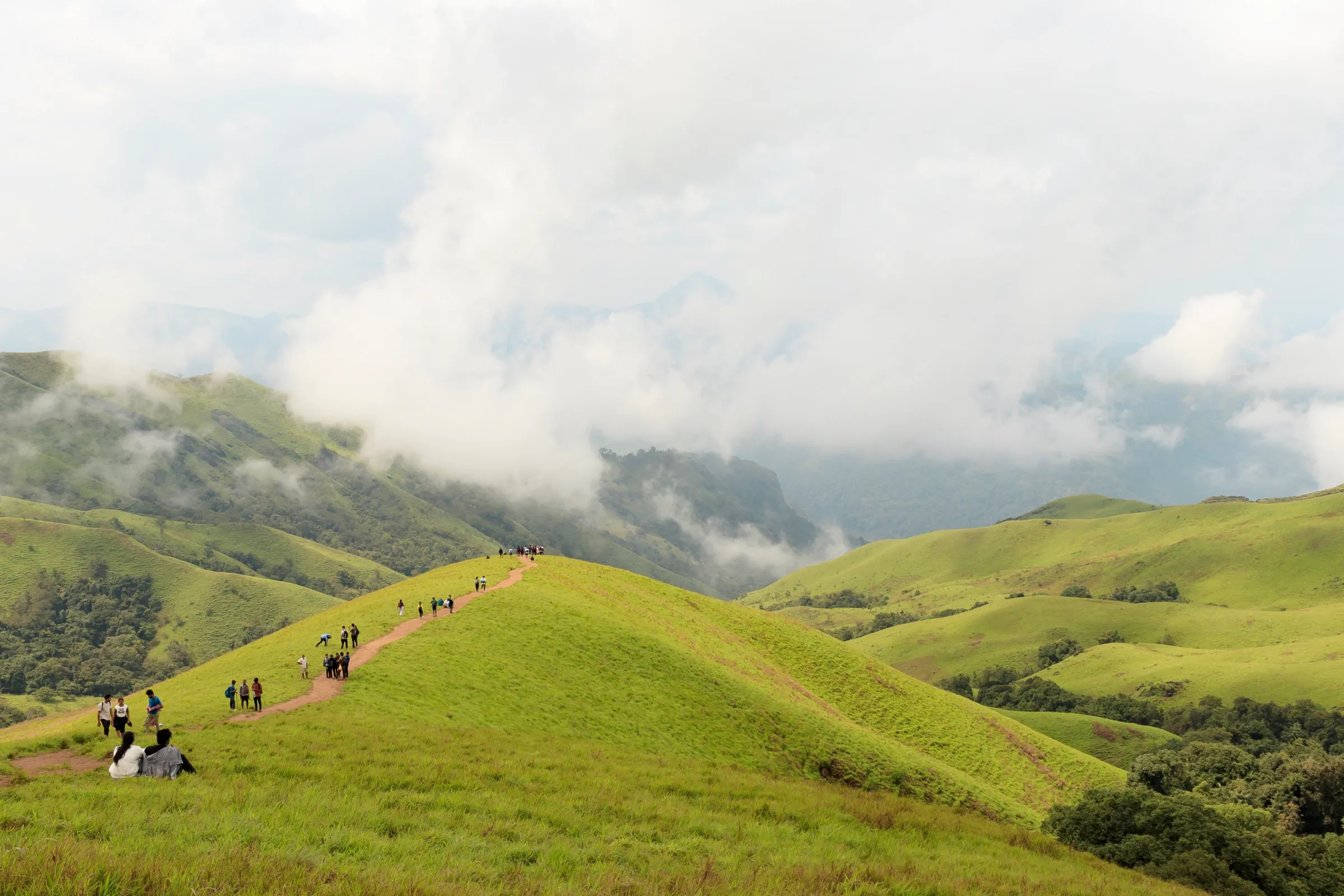
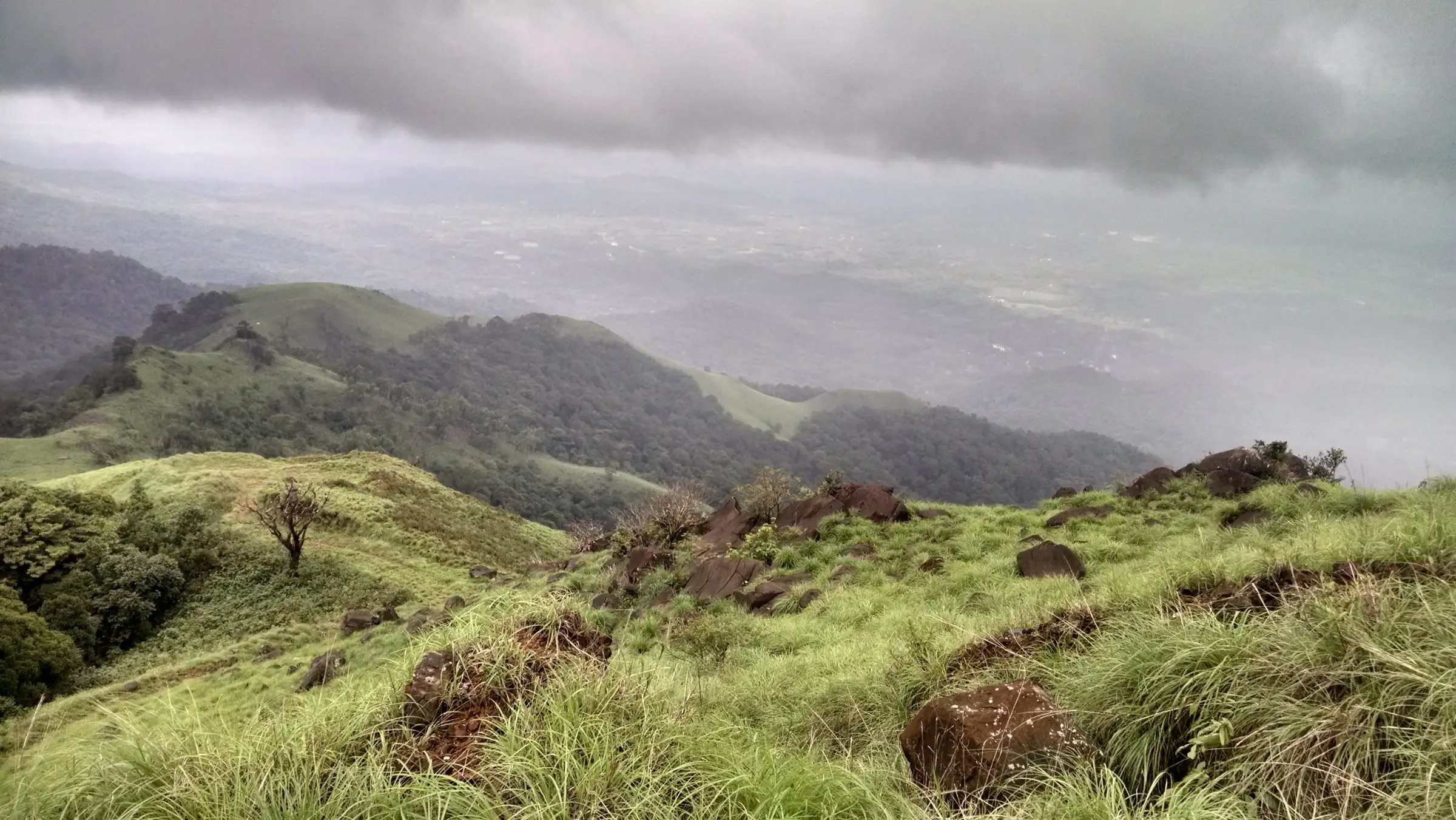
Rated moderate by the Karnataka Forest Department: a climb of roughly 250–300 m through dense, leech-prone evergreen forest, then open grassy ridges with a steep, loose-rock pitch below the first viewpoint and an exposed, windy final section to the rocky top.
Photos
On the trail
The route
Day by day
Day 1 · highest point
Bhagavathi Nature Camp forest gate → Bhagavathi Nature Camp forest gate
850 m → 1,100 m → 850 m
Ups and downs
Altitude profile
Where it is
Map
Trailhead and high point only — not a recorded track. Use it with a proper map.
Weather
Next 5 days on the trail
Live forecast for the trailhead and the high point. Mountain weather changes fast — check again on the morning you start.
Trailhead · Bhagavathi Nature Camp forest gate, Kudremukh National Park
at 850 mLoading forecast…
High point · Kurinjal peak
at 1,100 mLoading forecast…
Each day: high / low °C · rain mm and chance · snow cm · wind km/h
Weather data: Open-Meteo.comModel forecast, not an official warning. For alerts follow IMD and the local administration.
Plan the trip
How to reach
- Trailhead
- Bhagavathi Nature Camp forest gate, Kudremukh National Park
- Nearest railway
- Mangaluru (about 91 km)
- Nearest airport
- Mangaluru International (about 86 km)
- By road
- Kalasa (about 29 km, on the road towards Kudremukh and Karkala); Kudremukh township (about 10 km); Bengaluru via Hassan, Chikkamagaluru and Kottigehara (about 330 km)
- Drive
- About 8 h from Bengaluru
Plan the trip
Permits and fees
We could not confirm the current permit rules and fees from an official source. Check with the local forest department or tourism office before you go.
Plan the trip
Cost
Self-guided
₹2,500–4,500
With an operator
₹4,300
Per person, ex-Bengaluru, for a 2-day weekend trip (overnight travel, one homestay night, meals and trek permit). Guided price from BMC Adventures (₹4,300, Oct 2026: A/C transport, homestay, trek permission, veg meals, coordinator); a second current operator price could not be confirmed. Self-guided is an estimate: overnight KSRTC bus to Kalasa and back, local bus or jeep to Bhagavathi Nature Camp, a homestay night, food and the Aranya Vihaara permit. The online forest fee is not shown outside the portal's login, so check it when booking.
Gear
Top picks for this trek
The gear that matters most on this route, chosen from its altitude, season and risks.
 Ad · affiliate link
 Ad · affiliate link
 Ad · affiliate link
 Ad · affiliate link
 Ad · affiliate link
- Ad · affiliate link
 Ad · affiliate link
 Ad · affiliate link
Store buttons open a search on that store, not a product we picked. As an Amazon Associate we earn from qualifying purchases. Photos show the kind of item, not a specific product. Affiliate disclosure
Packing checklist
Matched to this trek: altitude, season, days and the risks on the route.
Packed 0 of 21
Monsoon months (Sep): pack everything in plastic or a dry bag and wear shoes with good grip.
Tick each item as it goes in the bag.
Know before you go
Good to know
- Mobile network
- Expect weak or no signal inside Kudremukh National Park; better coverage in Kudremukh township and Kalasa.
- Last ATM
- Kalasa
- Nearest hospital
- Government hospital, Kalasa (about 29 km)
- Water
- The Bhadra river at the bridge about 300 m inside the gate; a spring is reported about 1 km below the top near the old abandoned UHF station. Carry at least 2 litres.
Highlights
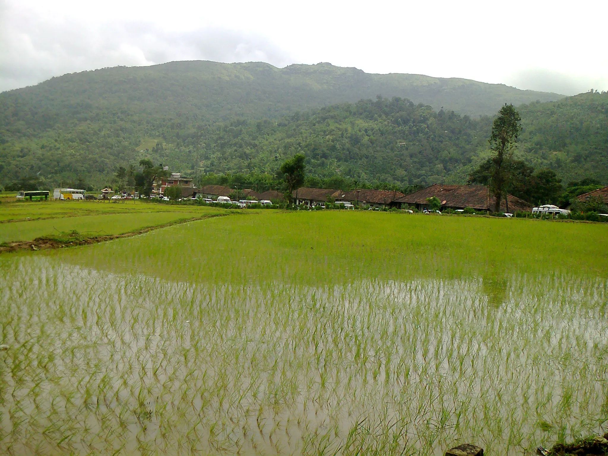
- Crosses the Bhadra river on a bridge just inside the forest gate
- About 1.5 km through dense evergreen shola forest full of birdsong
- Rolling green grassland ridges with views of Kudremukh peak and the whole Kudremukh range
- A giant rock marks the summit; an alternate, shorter descent passes an old building
Risks
- Leeches in the forest section, especially in and just after the monsoon
- Steep pitch with loose rocks below the first viewpoint, and an exposed, windy traverse to the summit with a drop on the left
- Monsoon makes some sections tricky; Indiahikes advises first-timers to avoid it
- The Forest Department can block dates (fire season, heavy rain); check the Aranya Vihaara calendar before you travel
Know before you go
Questions
Do I need to book the Kurinjal trek online?
Yes. The Karnataka Forest Department sells slots on aranyavihaara.karnataka.gov.in, listed as Kurinjal Trek under Chikkamagaluru district. In October 2026 it showed one 6:00–11:00 AM entry slot for 300 trekkers a day, with up to 3 people per booking; bookings open up to 30 days ahead and close a day before. Carry your ID.
How long is the Kurinjal trek?
The Forest Department gives 7 km and about 8 hours. Its own route map (KML) measures about 5.7 km one way from the gate near Bhagavathi Nature Camp to the top, so plan for roughly 11 km there and back and a full day.
How high is Kurinjal peak?
About 1,100 m, according to the Forest Department (BMC Adventures says 1,096 m), and satellite terrain data agrees. Some trek sites quote 5,751 ft (1,753 m), but that is higher than the terrain and higher than any point on this ridge.
Is a guide mandatory?
Rules have changed over the years, so check when you book. Indiahikes says the forest office at Bhagavathi Nature Camp can provide a guide, and that with its route notes and GPX file a guide is not essential.
How do I get to the start point?
Take an overnight bus from Bengaluru to Kalasa, then a bus towards Kudremukh and Balagal and get off at Bhagavathi Nature Camp, about 29 km from Kalasa. Buses are few, so many trekkers use their own vehicle or a hired jeep.
In an emergency
Save these numbers before you lose signal. Tap to call.
- 112All emergenciesIndia’s single emergency number — works in every state
- 108Ambulance
- 1077District disaster control room
You are in
District: ChikkamagaluruKarnataka
- Nearest hospital
- Government hospital, Kalasa (about 29 km)
- Last ATM
- Kalasa
- Phone network
- Expect weak or no signal inside Kudremukh National Park; better coverage in Kudremukh township and Kalasa.
Before you set off
- Tell someone your route and when you will be back.
- Carry a charged phone and a power bank.
- Download an offline map of the route.
- Turn back if the weather turns bad — the mountain will wait.
Questions about Kurinjal
No questions yet. Ask something and trekkers who have done it can answer.
Share your trek photo with #TreksAndTrails
I trekked this
Did Kurinjal look different from this page? Tell us what changed and we will check it.
Where this comes from
Sources
Last reviewed:
- Aranya Vihaara – Kurinjal Trek (Chikkamagaluru, trek id 110) — Karnataka Forest Department (official)
- Kurinjal Peak – A Complete Guide — Indiahikes
- Kurinjal Gudda Trek, 2 Days — BMC Adventures
- Karnataka treks permit process (Aranya Vihaara) — Indiahikes
- Kurinjal – Wild Wonderful Karnataka — Dreamroutes
Photos: 789rajes987 / Wikimedia Commons, CC BY-SA 4.0; 789rajes987 / Wikimedia Commons, CC BY-SA 4.0; 789rajes987 / Wikimedia Commons, CC BY-SA 4.0; 789rajes987 / Wikimedia Commons, CC BY-SA 4.0