Kugina Pass Trek
Chamoli, Uttarakhand
Opens without signal on this phone, with the map file and checklist. Saved for offline →
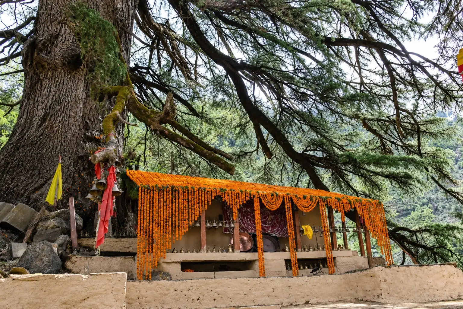 3,145 mhighest point
- Max altitude
- 3,145 m
- Days
- 1 day
- Distance
- 10 km
- Difficulty
- Easy
A single 5-6 hour day hike on a rocky village and forest trail with a steady climb of about 570 m; easy in summer and autumn, but snow in winter calls for gaiters and microspikes.
The route
Day by day
Day 1 · highest point
Wan (Bharaan roadhead) → Wan (via Kugina Pass)
2,579 m → 3,145 m → 2,510 m
Ups and downs
Altitude profile
Where it is
Map
Trailhead and high point only — not a recorded track. Use it with a proper map.
Weather
Next 5 days on the trail
Live forecast for the trailhead and the high point. Mountain weather changes fast — check again on the morning you start.
Trailhead · Wan
at 2,579 mLoading forecast…
High point · Kugina Pass (Kukin Khal)
at 3,145 mLoading forecast…
Each day: high / low °C · rain mm and chance · snow cm · wind km/h
Weather data: Open-Meteo.comModel forecast, not an official warning. For alerts follow IMD and the local administration.
Plan the trip
How to reach
- Trailhead
- Wan (nearest town: Lohajung)
- Nearest railway
- Kathgodam (or Rishikesh)
- Nearest airport
- Jolly Grant Airport, Dehradun
- By road
- Rishikesh via Devprayag, Srinagar, Rudraprayag, Karanprayag, Tharali, Debal and Mundoli to Lohajung, then a local vehicle to Wan; Delhi (Anand Vihar) direct overnight bus to Mundoli/Lohajung via Kathgodam, about 20 hours
- Drive
- About 10 h from Rishikesh
Plan the trip
Permits and fees
We could not confirm the current permit rules and fees from an official source. Check with the local forest department or tourism office before you go.
Plan the trip
Cost
Self-guided
₹500–3,000
With an operator
₹1,500–4,000
Per person, ex-Lohajung. Estimates only: we found no operator publishing a current price for this day hike. Self-guided covers a shared or hired jeep Lohajung-Wan-Bharaan and back plus snacks; guided assumes hiring a local guide from Wan or Lohajung for the day, split across a small group. Check locally.
Gear
Top picks for this trek
The gear that matters most on this route, chosen from its altitude, season and risks.
 Ad · affiliate link
 Ad · affiliate link
 Ad · affiliate link
 Ad · affiliate link
 Ad · affiliate link
 Ad · affiliate link
 Ad · affiliate link
- Ad · affiliate link
Store buttons open a search on that store, not a product we picked. As an Amazon Associate we earn from qualifying purchases. Photos show the kind of item, not a specific product. Affiliate disclosure
Packing checklist
Matched to this trek: altitude, season, days and the risks on the route.
Packed 0 of 27
Nights near 3,145 m can drop close to freezing even in summer. Pack one more warm layer than you think.
Tick each item as it goes in the bag.
Know before you go
Good to know
- Mobile network
- Indiahikes says Lohajung has good connectivity on all networks, but signal turns sporadic once you start the trek.
- Last ATM
- Not confirmed; carry enough cash from Karanprayag or Tharali before heading up to Lohajung.
- Nearest hospital
- Not confirmed; nearest health centres are in the Tharali-Debal area, with larger hospitals at Karanprayag and Srinagar (Garhwal).
- Water
- Indiahikes notes two water points on the climb from Bharaan; carry at least 1-2 litres and treat stream water.
Highlights
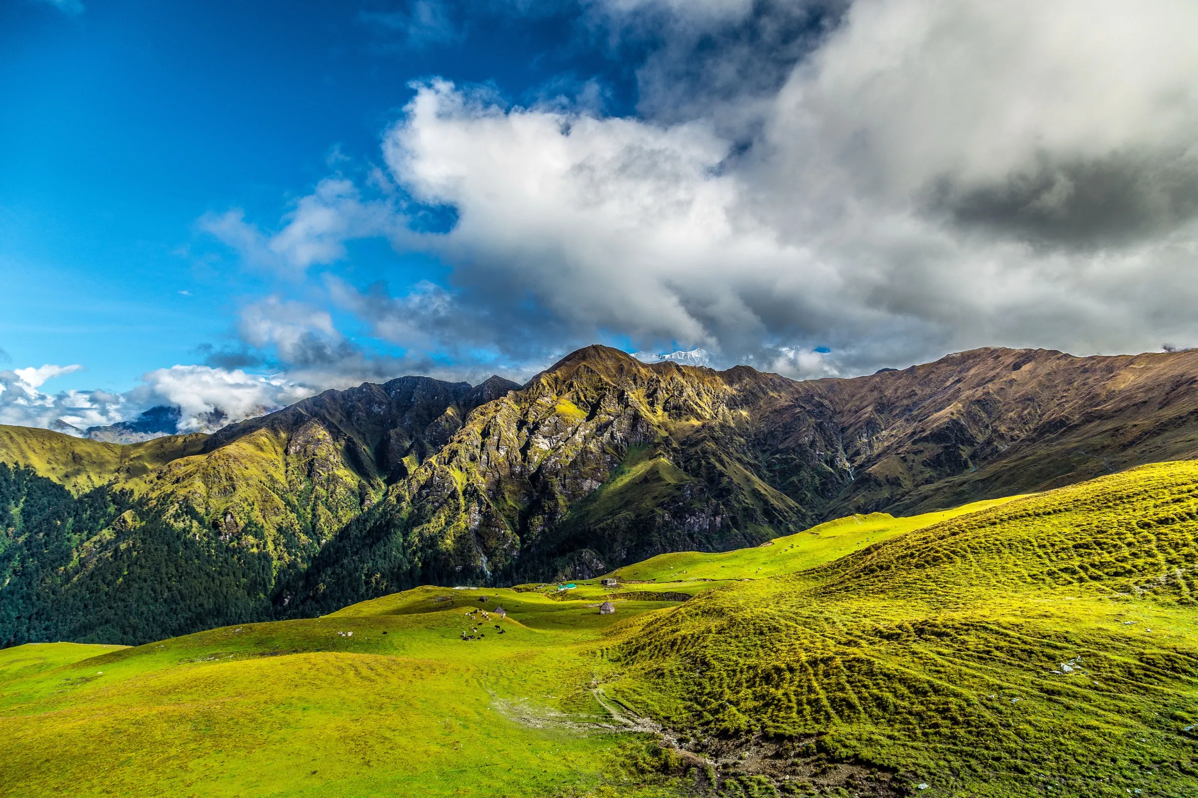
- A view of about 15 Himalayan peaks from the pass after a short day hike
- Brahmatal summit and the Tilbudi ridge seen behind you, with Jhandi top at the far end
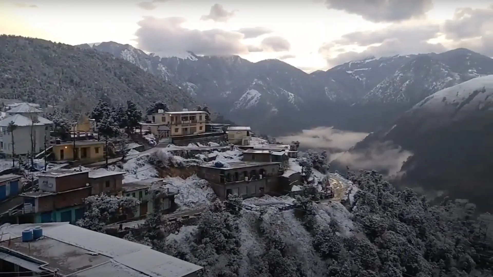
- Silver oak and rhododendron forest above the villages of Wan and Bharaan
- Looks down on Kanol, Ramni and other villages on the old Curzon Trail towards Kuari Pass
Risks
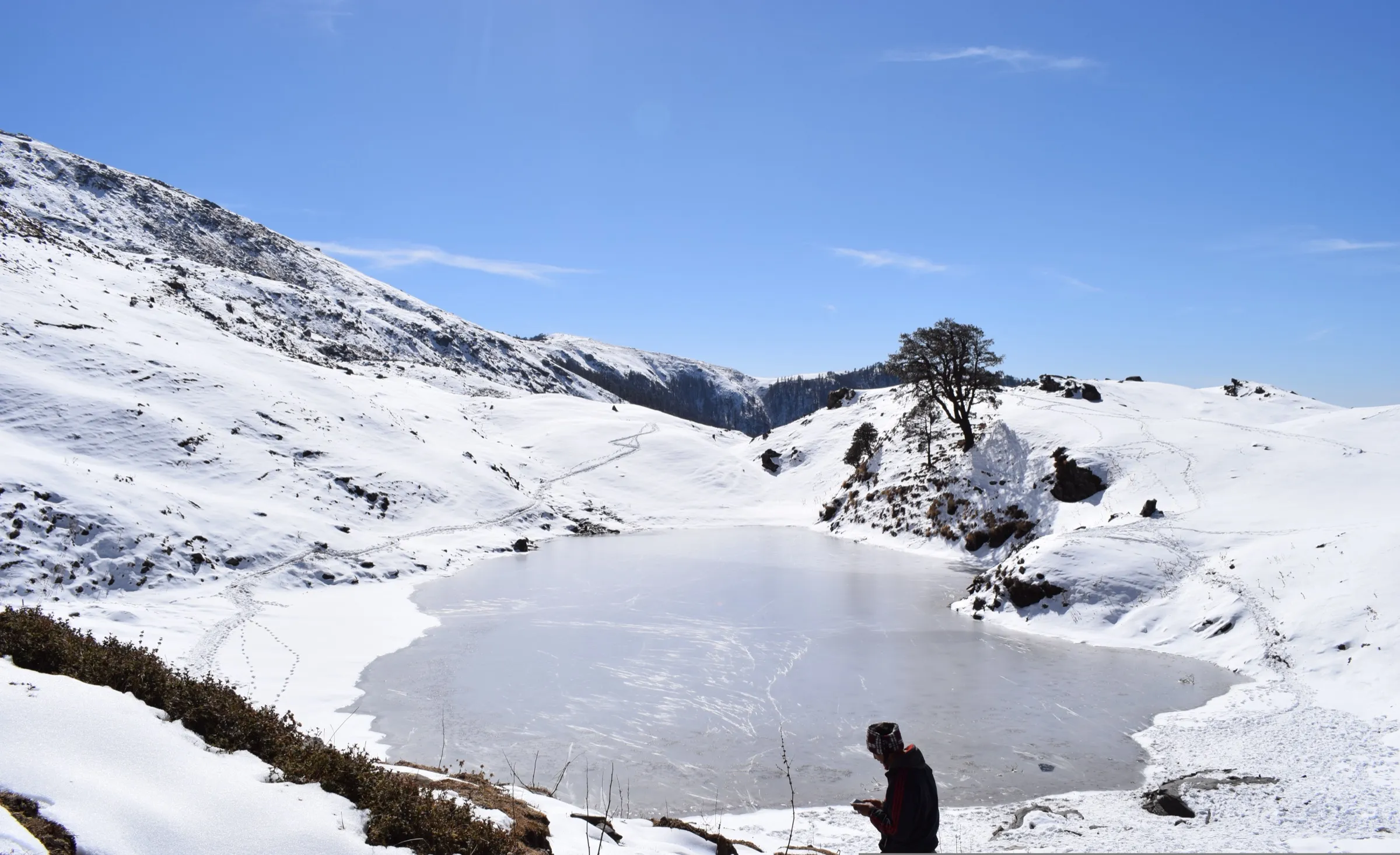
- Depending on the season the trail above the first forest-department rest bench can be under snow; gaiters and microspikes are needed then.
- Little-documented route with sporadic mobile signal; go with a local guide or someone who knows the trail.
- Lohajung is a 10-hour mountain drive from Rishikesh; monsoon landslides can block the Karanprayag-Tharali-Lohajung road.
Know before you go
Questions
How long does the Kugina Pass trek take?
It is a day hike: Indiahikes gives about 5-6 hours from the Bharaan roadhead near Wan up to the pass at about 3,145 m and back. Lohajung is the usual base, with a short drive to Wan.
Is Kugina Pass a good acclimatisation hike before Roopkund or Brahmatal?
Yes. Indiahikes describes it as a perfect excursion or acclimatisation trek near Lohajung, the base for Roopkund and Brahmatal, rated easy in summer and autumn.
Is there mobile network on the Kugina Pass trail?
Lohajung has good connectivity on all networks, but Indiahikes says signal becomes sporadic once you start walking.
Do I need a permit for Kugina Pass?
We could not confirm any permit or fee from an official source. Check with the forest office or your guide in Lohajung or Wan before you go.
In an emergency
Save these numbers before you lose signal. Tap to call.
- 112All emergenciesIndia’s single emergency number — works in every state
- 108Ambulance
- 1077District disaster control room
You are in
District: ChamoliUttarakhand
- Nearest hospital
- Not confirmed; nearest health centres are in the Tharali-Debal area, with larger hospitals at Karanprayag and Srinagar (Garhwal).
- Last ATM
- Not confirmed; carry enough cash from Karanprayag or Tharali before heading up to Lohajung.
- Phone network
- Indiahikes says Lohajung has good connectivity on all networks, but signal turns sporadic once you start the trek.
Before you set off
- Tell someone your route and when you will be back.
- Carry a charged phone and a power bank.
- Download an offline map of the route.
- Turn back if the weather turns bad — the mountain will wait.
Questions about Kugina Pass
No questions yet. Ask something and trekkers who have done it can answer.
Share your trek photo with #TreksAndTrails
I trekked this
Did Kugina Pass look different from this page? Tell us what changed and we will check it.
Where this comes from
Sources
Last reviewed:
- The Complete Guide to Kugina Pass Trek — Indiahikes
- Monal Top Trek (Beyond Hike, via TourTravelWorld) — Beyond Hike
Photos: Rajat7878, CC0