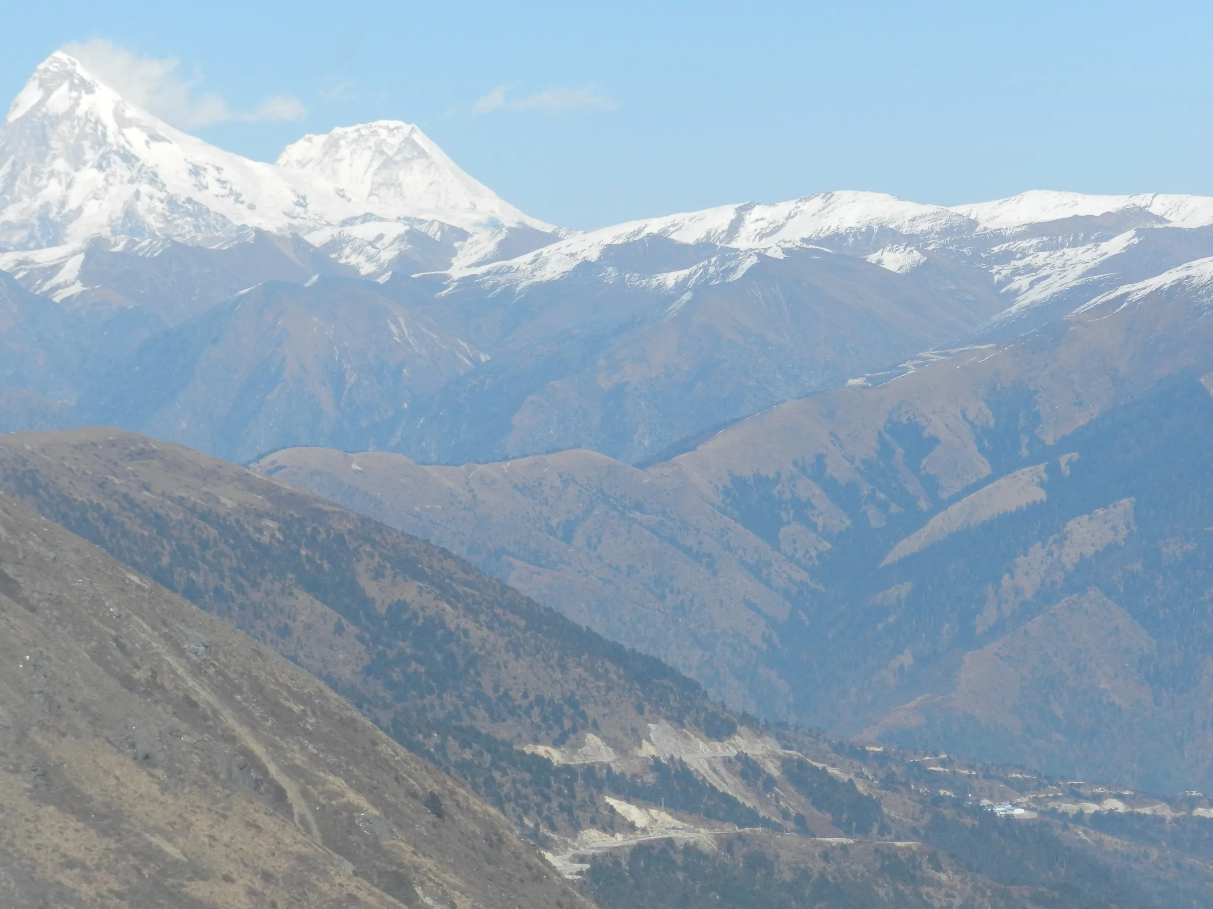
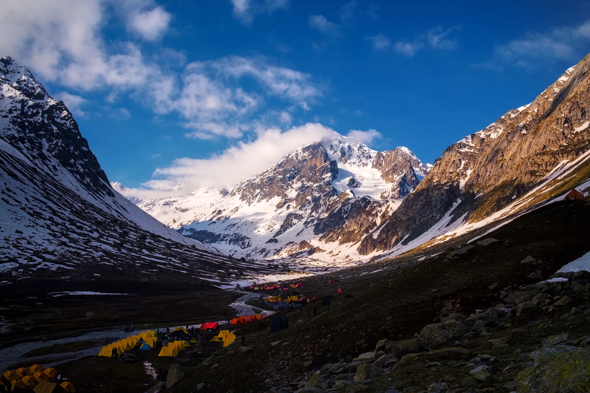
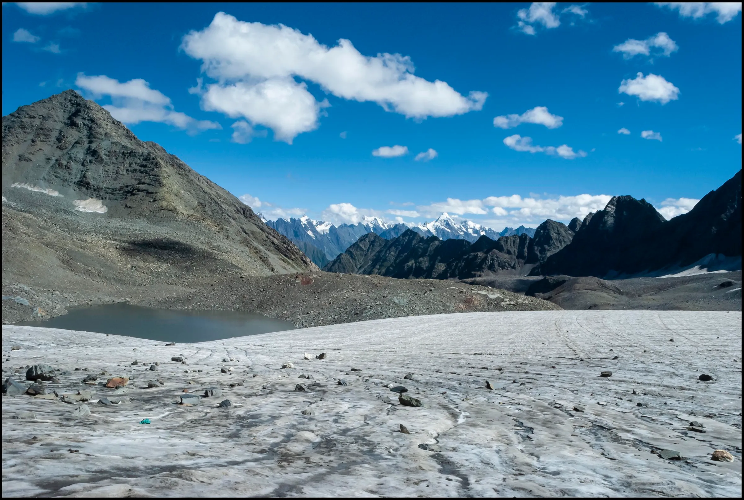
Jagatsukh Peak Trek
Kullu, Himachal Pradesh
Opens without signal on this phone, with the map file and checklist. Saved for offline →
- Max altitude
- 5,050 m
- Days
- 8 days
- Distance
- 42 km
- Difficulty
- Challenging
A trekking-peak climb, not a plain trek: the summit day is 8-9 hours over moraine, glacier and crevassed snowfields to about 5,050 m. Bikat rates it Difficult (BRS 6) and asks for at least one earlier BRS 5 trek, plus basic ice-axe, crampon and snow-walking skills.
Photos
On the trail
The route
Day by day
Day 1
Manali → Manali
2,050 m → 2,050 m
Day 2
Manali (drive via Jagatsukh to the roadhead) → Chikka
2,050 m → 3,175 m
Day 3
Chikka → Seri Base Camp
3,175 m → 3,700 m
Day 4
Seri Base Camp → Seri Base Camp (load ferry to Summit Camp and back)
3,700 m → 4,400 m → 3,700 m
Day 5
Seri Base Camp → Summit Camp
3,700 m → 4,400 m
Day 6 · highest point
Summit Camp → Seri Base Camp (via the summit)
4,400 m → 5,050 m → 3,700 m
Day 7
Seri Base Camp → Manali (trek to the roadhead via Chikka, then drive)
3,700 m → 2,050 m
Day 8
Manali → Manali (reserve day for a second summit attempt)
2,050 m → 2,050 m
Ups and downs
Altitude profile
Where it is
Map
Trailhead and high point only — not a recorded track. Use it with a proper map.
Weather
Next 5 days on the trail
Live forecast for the trailhead and the high point. Mountain weather changes fast — check again on the morning you start.
Trailhead · Jagatsukh (Khanol roadhead above the village)
at 2,050 mLoading forecast…
High point · Jagatsukh Peak summit (Consolation Peak on OpenStreetMap)
at 5,050 mLoading forecast…
Each day: high / low °C · rain mm and chance · snow cm · wind km/h
Weather data: Open-Meteo.comModel forecast, not an official warning. For alerts follow IMD and the local administration.
Plan the trip
How to reach
- Trailhead
- Jagatsukh (Khanol roadhead above the village) (nearest town: Manali)
- Nearest railway
- Joginder Nagar (narrow gauge, few trains); Chandigarh or Ambala for main-line trains, then bus or taxi to Manali
- Nearest airport
- Bhuntar Airport, Kullu (about 50 km from Manali)
- By road
- Manali to Jagatsukh village, then a gravel hydro-project road up the Jagatsukh (Duhangan) Nala, about 12 km, to the roadhead below Chikka; Himalayan Frontiers says permission is needed to use this road; Regular buses and taxis from Delhi and Chandigarh to Manali
- Drive
- About 14 h from Delhi
Plan the trip
Permits and fees
We could not confirm the current permit rules and fees from an official source. Check with the local forest department or tourism office before you go.
Plan the trip
Cost
Self-guided
₹18,000–30,000
With an operator
₹27,000–32,000
Per person, ex-Manali. Bikat Adventures publishes ₹27,000 + 5% GST (about ₹28,350) for its 8-day Manali-to-Manali climb, with climbing gear and permits included and ₹2,500 extra if the reserve day is used. No second operator publishes a current price (Himalayan Frontiers lists no dates or fare), so the upper figure is our allowance for other operators and GST. Self-guided is our estimate only: a local guide who knows the glacier route, a porter, hired crampons, ice axe, helmet and harness, tent and food for 7 days, and jeep hire to the roadhead. A self-guided attempt is not advised without mountaineering training.
Gear
Top picks for this trek
The gear that matters most on this route, chosen from its altitude, season and risks.
 Ad · affiliate link
 Ad · affiliate link
 Ad · affiliate link
 Ad · affiliate link
 Ad · affiliate link
 Ad · affiliate link
 Ad · affiliate link
 Ad · affiliate link
Store buttons open a search on that store, not a product we picked. As an Amazon Associate we earn from qualifying purchases. Photos show the kind of item, not a specific product. Affiliate disclosure
Packing checklist
Matched to this trek: altitude, season, days and the risks on the route.
Packed 0 of 34
Nights near 5,050 m can drop close to freezing even in summer. Pack one more warm layer than you think.
Tick each item as it goes in the bag.
Know before you go
Good to know
- Mobile network
- All networks work in Manali. Bikat reports no signal at the campsites, with patchy signal in a few spots higher up, including near the summit.
- Last ATM
- Manali (none after Manali)
- Nearest hospital
- Hospitals in Manali; Regional Hospital Kullu for serious cases
- Water
- Streams along the Jagatsukh Nala up to Seri, with springs at Panduropa and Dudu Patthar on the way to base camp. Above base camp water comes from snowmelt. Boil or treat all water.
Highlights
- A first step from trekking into climbing: a non-technical snow and glacier summit of about 5,050 m above the Kullu valley
- Summit and campsite views of Deo Tibba, Indrasan and other peaks of the Pir Panjal
- Pine and birch forest along the Jagatsukh Nala, then the open meadows of Chikka and Seri, full of wildflowers in early summer
- A climb-high, sleep-low plan with a load ferry to Summit Camp and a reserve day for a second summit attempt
Risks
- Crevassed snowfields and glacier near the summit: rope up and go only with a trained leader; crampons, ice axe, helmet and harness are needed.
- Altitude sickness is a real risk: the route goes from about 2,050 m to 5,050 m in five days. Turn back if symptoms get worse.
- Avoid the monsoon (late June to early August): Trekup India warns of landslides, slippery ground and poor visibility.
- Weather can stop the summit push; operators keep a reserve day, and Bikat charges ₹2,500 extra if it is used. Keep a buffer day for your onward travel.
- In September 2022 Himachal's disaster-management directorate asked districts to restrict treks above 15,000 ft (about 4,570 m) from 15 September. The summit is above that height, so check for any current advisory before an autumn climb.
- Himalayan Frontiers says the hydro-project road to the roadhead needs permission, and Bikat says several permits are needed. We found no current official list or fee, so check forest camping and any peak-climbing permission in Manali before going.
Know before you go
Questions
Is Jagatsukh Peak a technical climb? Do I need mountaineering experience?
Bikat calls it non-technical, but the summit day crosses moraine, glacier and crevassed snowfields, and you use an ice axe, crampons and heavy snow boots. Bikat asks for at least one earlier BRS 5 trek and good fitness; Himalayan Frontiers sells it as a first peak that needs no earlier climbing experience but good fitness.
What is the best time to climb Jagatsukh Peak?
May-June and September-October. Bikat, Himalayan Frontiers and Trekup India all name these months. Avoid the monsoon, from late June to early August.
How high is Jagatsukh Peak and where does the climb start?
Bikat, Himalayan Frontiers and Trekup India give about 5,050 m (16,570 ft). The climb starts from Jagatsukh village near Manali: a drive up the hydro-project road, then about 3 hours on foot to the Chikka meadow and on to Seri base camp (about 3,700 m).
How fit do I need to be for Jagatsukh Peak?
Bikat suggests you should be able to run 5 km in 25-30 minutes, and to train with longer runs and strength work such as squats and lunges in the months before.
How much does the Jagatsukh Peak climb cost?
Bikat Adventures publishes ₹27,000 + 5% GST for 8 days from Manali, including climbing gear and permits. Other operators run the climb on request; ask for a written quote.
Do I need a permit?
Bikat says several permits are needed and obtains them for its climbers; Himalayan Frontiers says use of the hydro-project road needs permission. We found no current official fee, so check in Manali before you go.
In an emergency
Save these numbers before you lose signal. Tap to call.
- 112All emergenciesIndia’s single emergency number — works in every state
- 108Ambulance
- 1077District disaster control room
You are in
District: KulluHimachal Pradesh
- Nearest hospital
- Hospitals in Manali; Regional Hospital Kullu for serious cases
- Last ATM
- Manali (none after Manali)
- Phone network
- All networks work in Manali. Bikat reports no signal at the campsites, with patchy signal in a few spots higher up, including near the summit.
Before you set off
- Tell someone your route and when you will be back.
- Carry a charged phone and a power bank.
- Download an offline map of the route.
- Turn back if the weather turns bad — the mountain will wait.
Questions about Jagatsukh Peak
No questions yet. Ask something and trekkers who have done it can answer.
Share your trek photo with #TreksAndTrails
I trekked this
Did Jagatsukh Peak look different from this page? Tell us what changed and we will check it.
Where this comes from
Sources
Last reviewed:
- Jagatsukh Peak Trek — Bikat Adventures
- Jagatsukh- Consolation peak. 5050m — Himalayan Frontiers
- Jagatsukh Peak Trek — Trekup India
- Himachal Government restricts trekking in high-altitude tracks from September 15 — The Tribune
Photos: Clintonpeter, CC BY-SA 4.0; Himalayanvision, CC BY-SA 4.0; YUVRAJ ANAND, CC BY-SA 4.0