Deo Tibba Base Camp Trek
Kullu, Himachal Pradesh
Opens without signal on this phone, with the map file and checklist. Saved for offline →
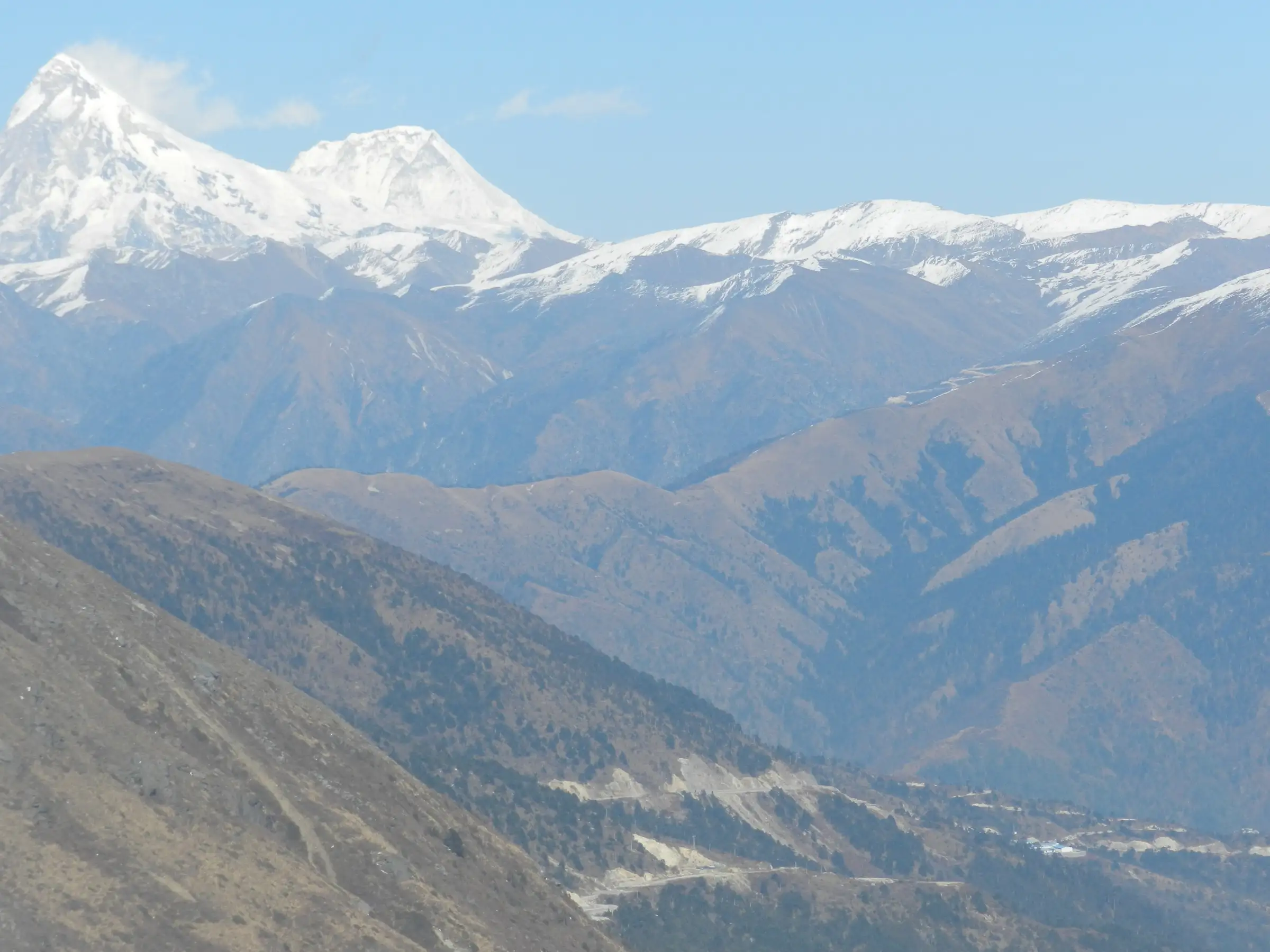 4,480 mhighest point
- Max altitude
- 4,480 m
- Days
- 6 days
- Distance
- 37 km
- Difficulty
- Moderate
Operators grade it moderate: no technical climbing, but steep boulder and moraine sections above Seri, glacial stream crossings, and an unmarked climb over rock and moraine from base camp to Chhota Chandratal at about 4,480 m. Bikat asks for at least one earlier high-altitude trek.
The route
Day by day
Day 1
Manali → Chikka (drive to Khanol, then trek)
2,050 m → 3,200 m
Day 2
Chikka → Seri
3,200 m → 3,900 m
Day 3
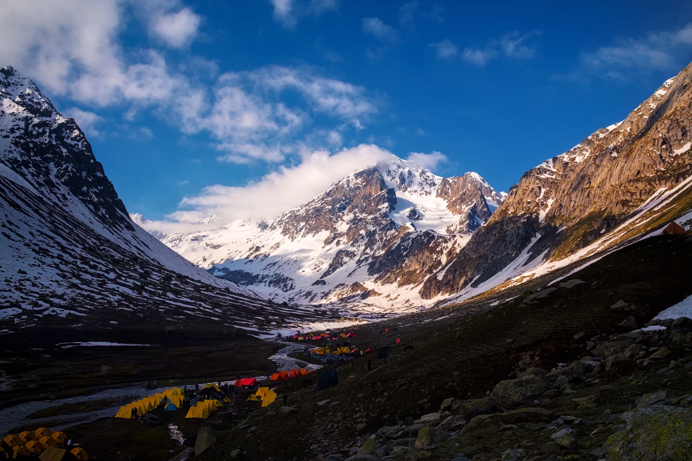
Seri → Deo Tibba Base Camp (Tainta)
3,900 m → 4,170 m
Day 4 · highest point
Deo Tibba Base Camp (Tainta) → Deo Tibba Base Camp (via Chhota Chandratal)
4,170 m → 4,480 m → 4,170 m
Day 5
Deo Tibba Base Camp (Tainta) → Chikka (via Seri)
4,170 m → 3,200 m
Day 6
Chikka → Khanol (drive to Manali)
3,200 m → 2,050 m
Ups and downs
Altitude profile
Where it is
Map
Trailhead and high point only — not a recorded track. Use it with a proper map.
Weather
Next 5 days on the trail
Live forecast for the trailhead and the high point. Mountain weather changes fast — check again on the morning you start.
Trailhead · Khanol (Khanool, Bara Hazar)
at 2,050 mLoading forecast…
High point · Chhota Chandratal (Mini Chandratal) lake
at 4,480 mLoading forecast…
Each day: high / low °C · rain mm and chance · snow cm · wind km/h
Weather data: Open-Meteo.comModel forecast, not an official warning. For alerts follow IMD and the local administration.
Plan the trip
How to reach
- Trailhead
- Khanol (Khanool, Bara Hazar) (nearest town: Manali)
- Nearest railway
- Chandigarh (about 310 km from Manali); Joginder Nagar narrow-gauge is closer but has few trains
- Nearest airport
- Bhuntar Airport, Kullu (about 50 km from Manali)
- By road
- Manali to Jagatsukh (about 7 km), then a dirt road about 12 km up the Jagatsukh Nala to the Duhangan dam site at Khanol; Overnight buses from Delhi, Chandigarh and Amritsar to Manali
- Drive
- About 14 h from Delhi
Plan the trip
Permits and fees
We could not confirm the current permit rules and fees from an official source. Check with the local forest department or tourism office before you go.
Plan the trip
Cost
Self-guided
₹7,000–14,000
With an operator
₹12,000–19,000
Per person, ex-Manali. Guided prices published in 2026: Himtrek ₹12,000 + 5% GST; Trekup India ₹13,450 + 5% GST; Bikat Adventures ₹13,500 + 5% GST; Himalayan Hikers ₹18,000 + 5% GST. All include forest permits and Manali-Khanol transport. Self-guided is our estimate: shared taxi Manali-Khanol and back, a local guide and porter for 6 days, tent and stove hire, food, and forest camping fees.
Gear
Top picks for this trek
The gear that matters most on this route, chosen from its altitude, season and risks.
 Ad · affiliate link
 Ad · affiliate link
 Ad · affiliate link
 Ad · affiliate link
 Ad · affiliate link
 Ad · affiliate link
 Ad · affiliate link
 Ad · affiliate link
Store buttons open a search on that store, not a product we picked. As an Amazon Associate we earn from qualifying purchases. Photos show the kind of item, not a specific product. Affiliate disclosure
Packing checklist
Matched to this trek: altitude, season, days and the risks on the route.
Packed 0 of 34
Nights near 4,480 m can drop close to freezing even in summer. Pack one more warm layer than you think.
Tick each item as it goes in the bag.
Know before you go
Good to know
- Mobile network
- All networks work in Manali; operators report no mobile signal at any campsite.
- Last ATM
- Manali (none beyond Manali)
- Nearest hospital
- PHC Jagatsukh for first aid; Mission Hospital / civil hospital in Manali; Regional Hospital Kullu for serious cases
- Water
- Plenty of streams and waterfalls along the Jagatsukh Nala up to base camp; refill at Panduropa (Dudu) meadow. Boil or treat all water.
Highlights
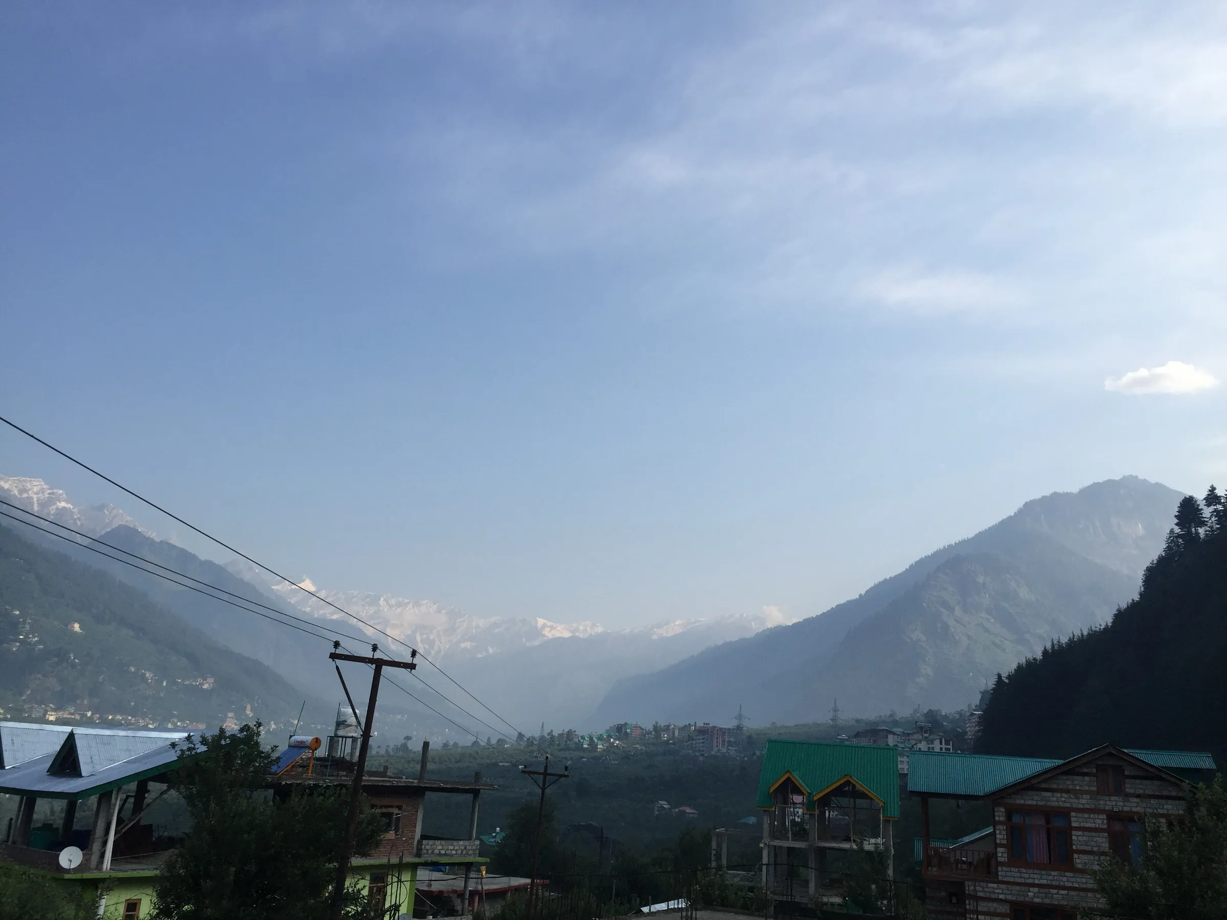
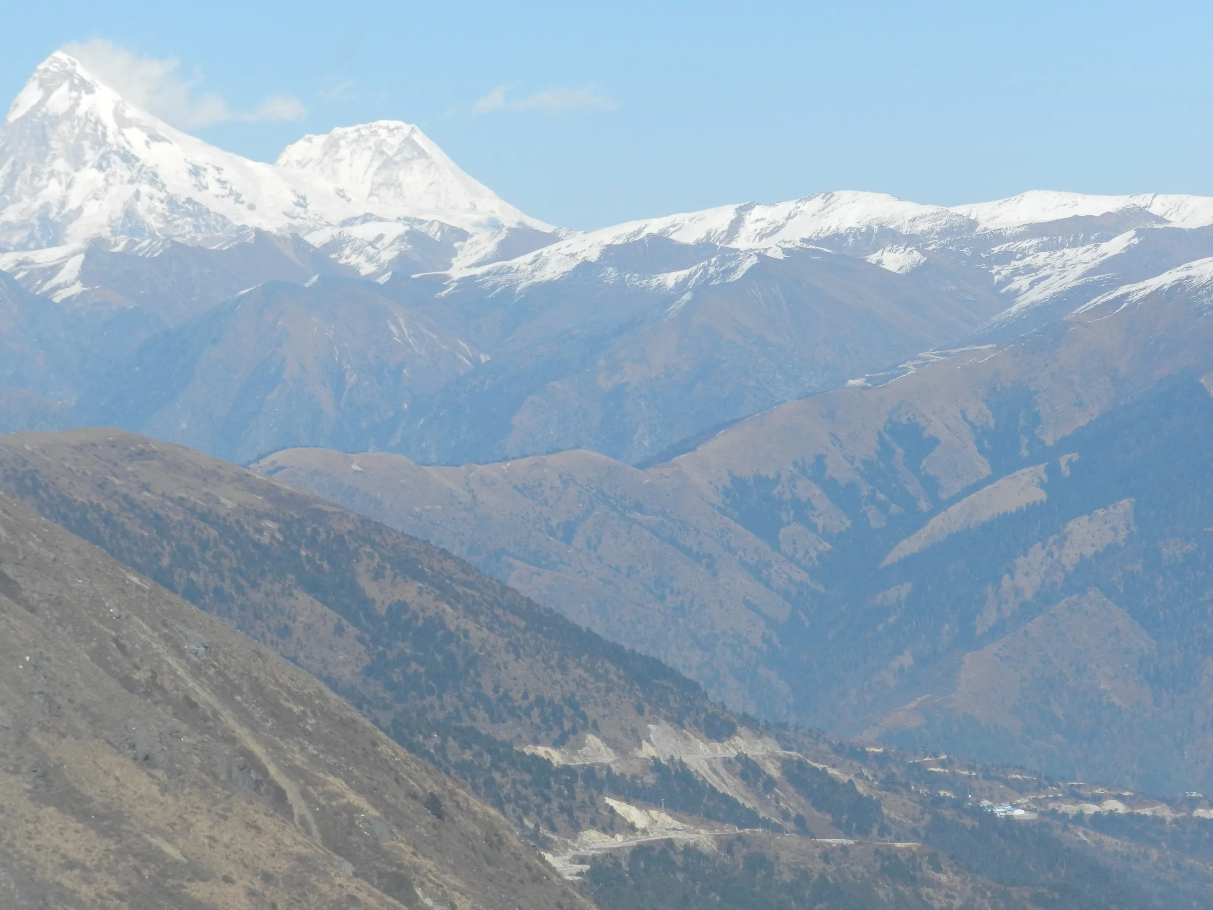
- Close views of the snow dome of Deo Tibba (6,001 m) and of Indrasan, Norbu and Jagatsukh peaks
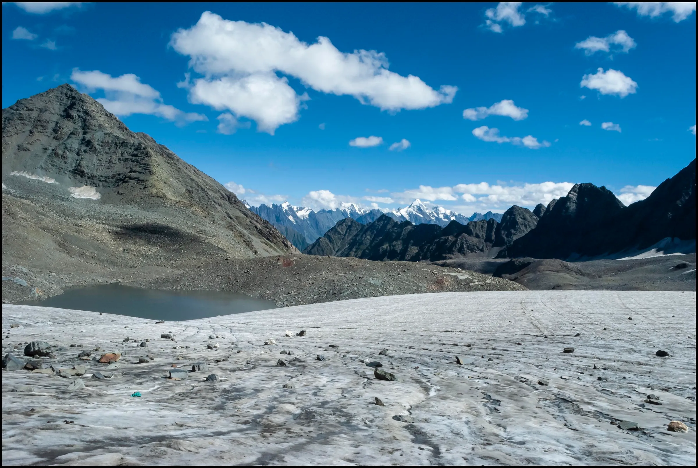
- The emerald glacial lake of Chhota Chandratal at about 4,480 m at the foot of Deo Tibba
- Seri, a vast meadow on an old glacial lake bed ringed by peaks
- Pine, spruce, fir, oak and silver birch forest with waterfalls along the Jagatsukh Nala
- A quiet, less commercial alternative to the nearby Hampta Pass trek out of Manali
Risks
- There is no proper trail from base camp to Chhota Chandratal: the route crosses rock and moraine and needs a guide who knows the way.
- Boulder sections between Chikka and Seri turn slippery after rain; steep moraine climbs above Seri.
- Altitude sickness is possible above 4,000 m; nights at base camp fall to about -5 °C to 0 °C even in summer, and below freezing in snowfall.
- Monsoon (July-August) rain brings slippery trails and landslide risk on the road and trail; Himalaya Shelter calls mid-June to August 'not suitable', though several operators run batches then.
- Himalaya Shelter says that from November to April it is too cold, with heavy snowfall, and the campsites are inaccessible. Do not attempt it in winter.
- The summit of Deo Tibba itself is a technical mountaineering climb (glaciers with crevasses, fixed ropes, crampons) and is not part of this trek.
- Kullu forest officials say Forest Department permission is needed to camp in forest areas; check current Kullu district trekking advisories before going.
Know before you go
Questions
How difficult is the Deo Tibba Base Camp trek? Is it OK for beginners?
Operators rate it moderate. There is no technical climbing, but the trail has steep, rocky and moraine sections and goes above 4,000 m. Bikat asks for at least one earlier high-altitude trek, and Himalayan Hikers says it is not meant for complete beginners.
What is the best time to do the Deo Tibba Base Camp trek?
June to October is the season most operators run. May to mid-June brings flowers and melting snow; September to October gives clear post-monsoon views. July and August bring heavy rain. Himalaya Shelter says November to April is too cold, with heavy snowfall, and the campsites are inaccessible.
Where does the trek start and how do I reach it?
From Manali, drive to Jagatsukh (about 7 km) and then up a dirt road about 12 km to the Duhangan dam site at Khanol (also called Bara Hazar), where walking starts. Manali is reached by overnight bus from Delhi or Chandigarh; the nearest airport is Bhuntar, about 50 km away.
Can I climb Deo Tibba peak on this trek?
No. The trek ends at base camp and Chhota Chandratal lake (about 4,480 m). The 6,001 m summit is a technical mountaineering climb over crevassed glaciers with fixed ropes, sold separately as a 13-day expedition.
Do I need a permit for Deo Tibba Base Camp?
Operators say forest permits and camping permission are needed and include them in the package. We could not find a current official fee, so self-guided trekkers should check with the forest range office in Manali before starting.
Is there mobile network or an ATM on the trek?
Manali has all networks and many ATMs. There are no ATMs after Manali and no mobile signal at any campsite, so carry cash and tell someone your plan.
In an emergency
Save these numbers before you lose signal. Tap to call.
- 112All emergenciesIndia’s single emergency number — works in every state
- 108Ambulance
- 1077District disaster control room
You are in
District: KulluHimachal Pradesh
- Nearest hospital
- PHC Jagatsukh for first aid; Mission Hospital / civil hospital in Manali; Regional Hospital Kullu for serious cases
- Last ATM
- Manali (none beyond Manali)
- Phone network
- All networks work in Manali; operators report no mobile signal at any campsite.
Before you set off
- Tell someone your route and when you will be back.
- Carry a charged phone and a power bank.
- Download an offline map of the route.
- Turn back if the weather turns bad — the mountain will wait.
Questions about Deo Tibba Base Camp
No questions yet. Ask something and trekkers who have done it can answer.
Share your trek photo with #TreksAndTrails
I trekked this
Did Deo Tibba Base Camp look different from this page? Tell us what changed and we will check it.
Where this comes from
Sources
Last reviewed:
- Deo Tibba Base Camp Trek — Bikat Adventures
- Deo Tibba Base Camp Trek: Epic 6-Day Himalayan Adventure — Himtrek
- Deo Tibba Base Camp Trek 2026 | Glacier Base Camp, Alpine Meadows, Itinerary & Best Time — Trekup India
- Deo Tibba Trek — Indiahikes
- Deo Tibba Base Camp Trek — Himalaya Shelter
- Deo Tibba Trek — The Wildcone
- Deo Tibba — Wikipedia
- Himachal government restricts trekking in high-altitude tracks from September 15 — The Tribune
Photos: YUVRAJ ANAND, CC BY-SA 4.0