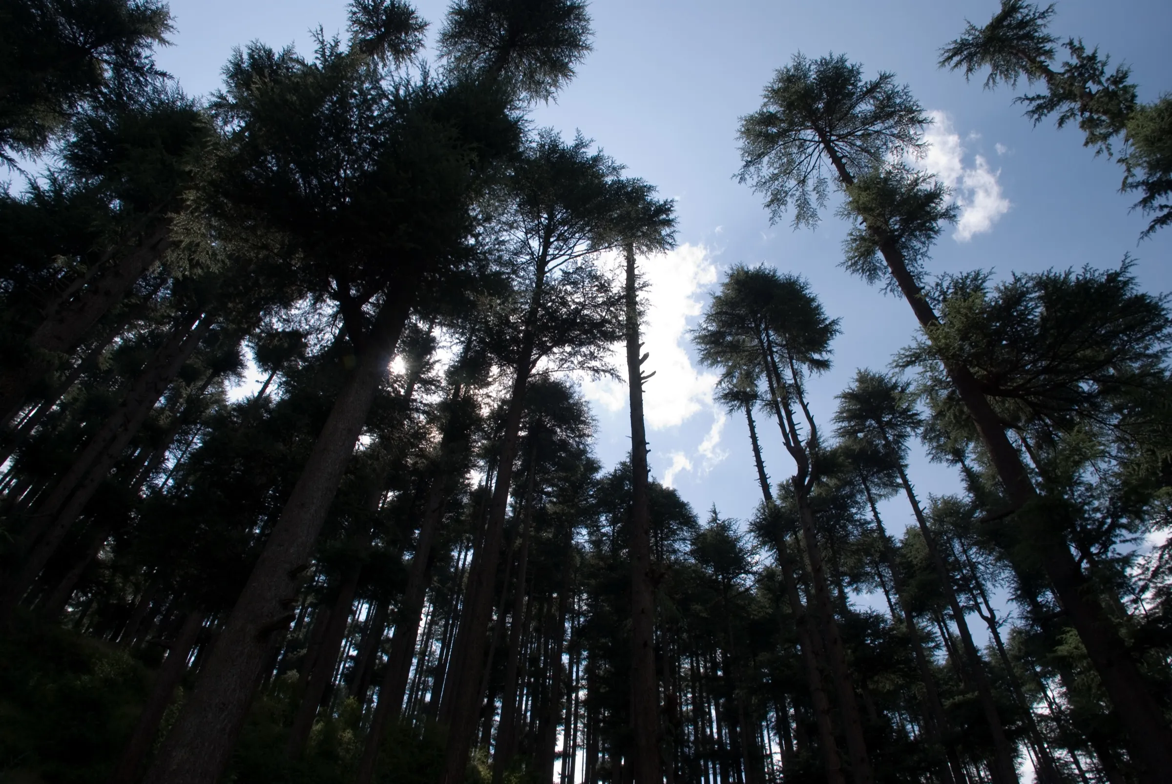
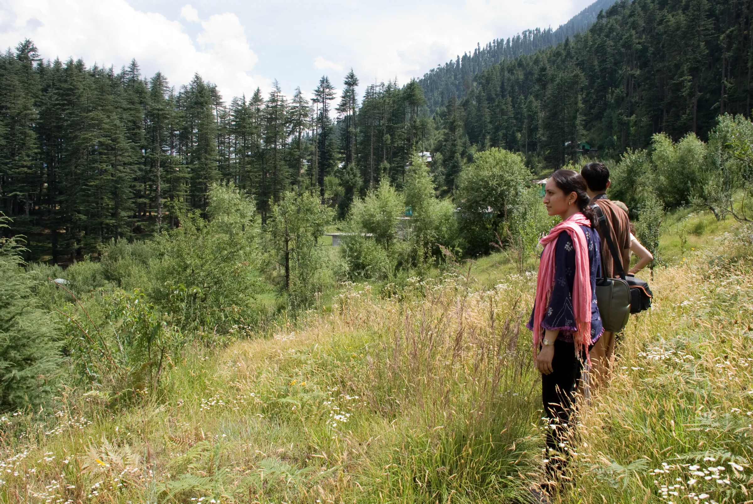
Bara Bhangal Trek
Kullu and Kangra, Himachal Pradesh
Opens without signal on this phone, with the map file and checklist. Saved for offline →
- Max altitude
- 4,875 m
- Satellite terrain suggests about 4,716 m
- Days
- 10 days
- Distance
- 51 km
- Difficulty
- Challenging
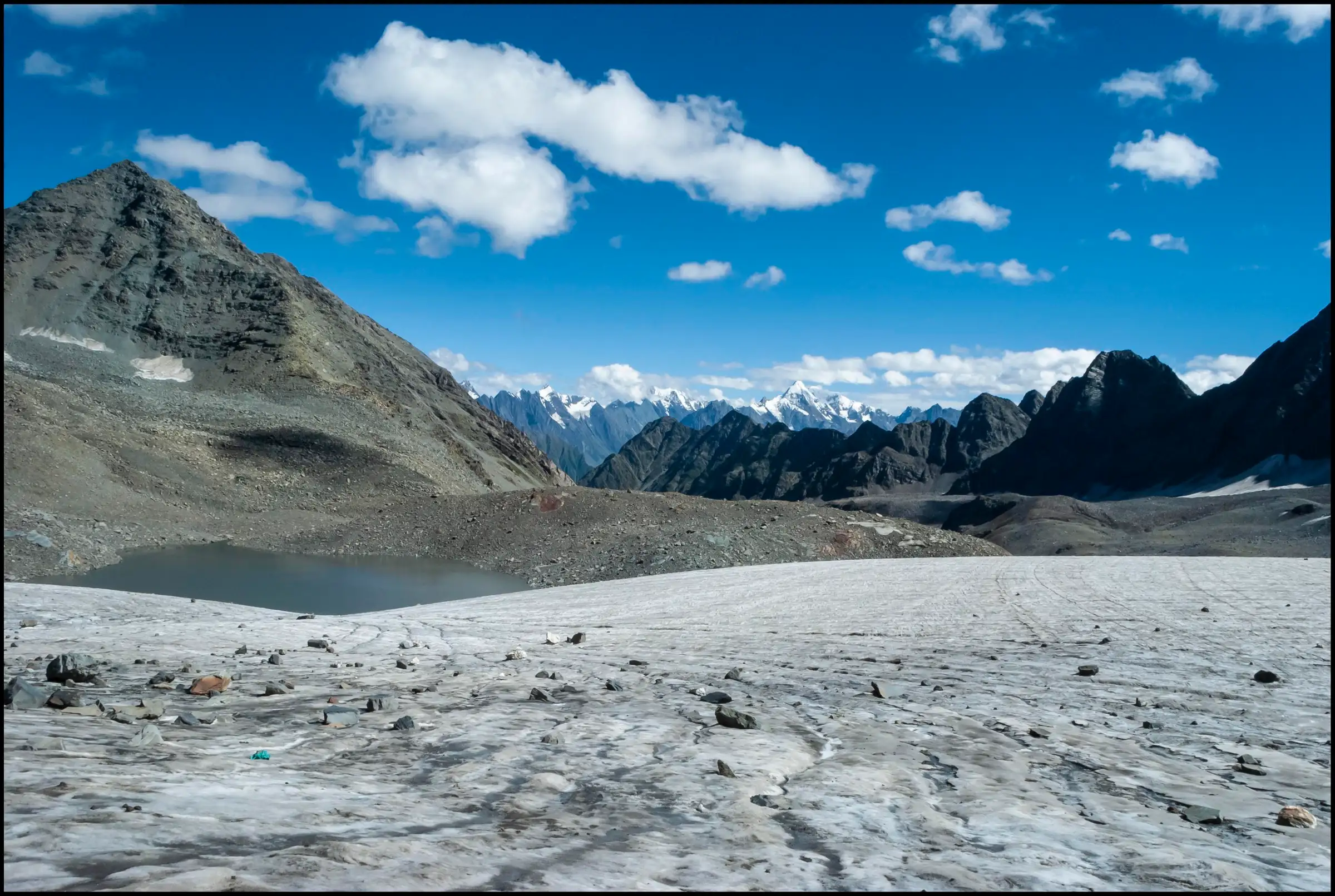
A 10-day crossover with two high glacier passes: Kalihani (about 4,725 m) from the Kullu side and Thamsar (about 4,875 m) into Kangra. Pass days cross moraine, scree and glacier with steep climbs, there are glacier-fed stream crossings, and Bara Bhangal village has no road, so any evacuation means walking over a pass.
Photos
On the trail
The route
Day by day
Day 1
Manali (drive 30 km to Sangchar) → Jammu Pani
2,050 m → 3,000 m
Day 2
Jammu Pani → Pani Dhar
3,000 m → 3,300 m
Day 3
Pani Dhar → Riyali Thach
3,300 m → 3,647 m
Day 4
Riyali Thach → Saghor (Kalihani Pass base)
3,647 m → 4,000 m
Day 5
Saghor (Kalihani Pass base) → Devi Ki Marhi (via Kalihani Pass)
4,000 m → 4,725 m → 3,850 m
Day 6
Devi Ki Marhi → Dal Marhi
3,850 m → 3,900 m
Day 7
Dal Marhi → Bara Bhangal village
3,900 m → 2,900 m
Day 8
Bara Bhangal village → Mardh (Thamsar glacier base)
2,900 m → 3,830 m
Day 9 · highest point
Mardh → Billing (via Thamsar Pass, Plachak and Rajgundha; drive to Bir or Dharamshala)
3,830 m → 4,875 m → 2,400 m
Day 10
Reserve day → Reserve day for weather at either pass (operators charge extra if it is used)
2,400 m → 2,400 m
Ups and downs
Altitude profile
Where it is
Map
Trailhead and high point only — not a recorded track. Use it with a proper map.
Weather
Next 5 days on the trail
Live forecast for the trailhead and the high point. Mountain weather changes fast — check again on the morning you start.
Trailhead · Manali
at 2,050 mLoading forecast…
High point · Thamsar Pass
at 4,875 mLoading forecast…
Each day: high / low °C · rain mm and chance · snow cm · wind km/h
Weather data: Open-Meteo.comModel forecast, not an official warning. For alerts follow IMD and the local administration.
Plan the trip
How to reach
- Trailhead
- Manali
- Nearest railway
- Joginder Nagar (narrow gauge); Chandigarh or Kiratpur Sahib for broad gauge
- Nearest airport
- Bhuntar (Kullu) for Manali; Gaggal (Kangra) for the Bir–Billing end
- By road
- Delhi to Manali (about 540 km, overnight bus); Chandigarh to Manali (about 305 km); At the end: cab from Billing down to Bir, and on to Dharamshala (about 64 km from Bir–Billing)
- Drive
- About 13 h from Delhi
Plan the trip
Permits and fees
We could not confirm the current permit rules and fees from an official source. Check with the local forest department or tourism office before you go.
Plan the trip
Cost
Self-guided
₹18,000–35,000
With an operator
₹17,300–51,000
Per person, ex-Manali (ending at Billing/Bir or Dharamshala). Guided prices published October 2026: Trekup India ₹16,450 + 5% GST (Manali to Dharamshala, sharing transport included); Himtrek ₹39,999 + 5% GST (reporting Manali, no 2026 dates listed); Bikat Adventures ₹48,500 + 5% GST Manali to Billing, plus ₹5,000 + GST if the reserve day is used. Self-guided is an estimate only: this route needs a local guide who knows both passes, porters or mules for 9-10 days of food and tents, a cab to Sangchar and a cab from Billing; costs fall when a group shares them. Not recommended without an experienced local guide.
Gear
Top picks for this trek
The gear that matters most on this route, chosen from its altitude, season and risks.
 Ad · affiliate link
 Ad · affiliate link
 Ad · affiliate link
 Ad · affiliate link
 Ad · affiliate link
 Ad · affiliate link
 Ad · affiliate link
 Ad · affiliate link
Store buttons open a search on that store, not a product we picked. As an Amazon Associate we earn from qualifying purchases. Photos show the kind of item, not a specific product. Affiliate disclosure
Packing checklist
Matched to this trek: altitude, season, days and the risks on the route.
Packed 0 of 33
Nights near 4,875 m can drop close to freezing even in summer. Pack one more warm layer than you think.
Tick each item as it goes in the bag.
Know before you go
Good to know
- Mobile network
- Bikat says only the first two campsites have mobile signal; Bara Bhangal village has a satellite phone. Expect no network from Riyali Thach to Billing.
- Last ATM
- Manali (no ATMs on the trail)
- Nearest hospital
- Manali (Mission Hospital / civil hospital) at the start; Baijnath and Dharamshala at the Billing end. Evacuation from the middle of the route means walking over a pass.
- Water
- Glacier-fed streams and the Kalihani Nala and Ravi at most camps; boil or treat all water.
Highlights
- Two high passes in one traverse: Kalihani from the Kullu side and Thamsar into the Kangra valley
- Bara Bhangal, a remote Gaddi village on the upper Ravi with no road, cut off for much of the year
- Flower-filled meadows at Riyali Thach and on the ridge to the Kalihani base, with views of the Pir Panjal, Deo Tibba and Indrasan
- Alpine lakes beyond Kalihani Pass and a small lake just below Thamsar Pass
- Ends at Billing, the paragliding take-off above Bir
Risks
- Kangra district rules: the District Disaster Management Authority banned all trekking above 3,000 m in Kangra (PTI, 6 January 2026), and in November 2025 the district made registration compulsory at check posts including Rajgundha, on the Thamsar–Billing side of this route. We found no order lifting the January 2026 ban; check with the Kangra district administration or SP Kangra before you go.
- Both passes are glacier crossings over moraine and scree; Thamsar's descent to Plachak is steep and long. Snow bridges near the passes can be unstable.
- Altitude sickness is a real risk above 4,000 m, and there is no road or quick evacuation from Bara Bhangal; rescue cost is not included in operator fees.
- Monsoon (July-August) swells the glacier streams, especially in the afternoon, and brings landslide-prone sections such as the one between Devi Ki Marhi and Dal Marhi. Several operators prefer June and September.
- Kalihani and Thamsar can be shut by fresh snow in June or late September; a reserve day is built into most itineraries.
Know before you go
Questions
How difficult is the Bara Bhangal trek?
It is one of the hardest crossover treks in Himachal. Operators grade it difficult and ask for previous high-altitude trek experience: Bikat wants a completed level-4 trek, and the route crosses two glacier passes above 4,700 m with long, steep days on moraine and scree.
When is the best time to do the Bara Bhangal trek?
Mid-June to September. Himalaya Shelter and Himtrek give June to September; Bikat prefers June and mid-September to October to avoid monsoon rain. From about November to April snow blocks both passes and the village cannot be reached on foot.
Where does the Bara Bhangal trek start and end?
It starts at Manali. Trekup India and Bikat drive about 30 km to Sangchar and walk via Jammu Pani; others walk from Manali via Lama Dugh. Both routes meet at Riyali Thach. The trek ends at Billing above Bir in Kangra district, from where cabs go to Bir or Dharamshala.
Do I need a permit for the Bara Bhangal trek?
Operators say several forest and camping permits are needed and include them in the price. Kangra district now requires registration at check posts such as Rajgundha, and it banned trekking above 3,000 m in January 2026. We could not find an official fee or an order lifting the ban, so check locally before you go.
Is there mobile network or electricity on the trek?
Only the first two campsites have mobile signal. Bara Bhangal village has a satellite phone and a small hydel project, and Bikat says some villages after a pass let you charge devices for a small fee. Carry cash from Manali; there are no ATMs on the way.
In an emergency
Save these numbers before you lose signal. Tap to call.
- 112All emergenciesIndia’s single emergency number — works in every state
- 108Ambulance
- 1077District disaster control room
You are in
District: Kullu and KangraHimachal Pradesh
- Nearest hospital
- Manali (Mission Hospital / civil hospital) at the start; Baijnath and Dharamshala at the Billing end. Evacuation from the middle of the route means walking over a pass.
- Last ATM
- Manali (no ATMs on the trail)
- Phone network
- Bikat says only the first two campsites have mobile signal; Bara Bhangal village has a satellite phone. Expect no network from Riyali Thach to Billing.
Before you set off
- Tell someone your route and when you will be back.
- Carry a charged phone and a power bank.
- Download an offline map of the route.
- Turn back if the weather turns bad — the mountain will wait.
Questions about Bara Bhangal
No questions yet. Ask something and trekkers who have done it can answer.
Share your trek photo with #TreksAndTrails
I trekked this
Did Bara Bhangal look different from this page? Tell us what changed and we will check it.
Where this comes from
Sources
Last reviewed:
- Bara Bhangal Trek — Bikat Adventures
- Bara Bhangal Trek 2026 | Remote Himalayan Traverse, Shepherd Villages, Itinerary & Best Time — Trekup India
- Bara Bhangal Trek: Epic 11-Day Himalayan Adventure — Himtrek
- Bara Bhangal Trek Himachal – Complete Guide via Kalihani & Thamsar Pass — Himalaya Shelter
- Bara Bhangal Trek — Tour My India
- Bara Bhangal Trek — Aquaterra Adventures
- Himachal: Kangra administration bans trekking above 3,000 metres (PTI, 6 Jan 2026) — The Week (PTI)
- Check posts set up at 10 entry points to strengthen safety of trekkers in Kangra (15 Nov 2025) — The Tribune
Photos: Wikimate786, CC BY-SA 4.0; Navigating nish, CC BY 4.0