Khanpari Tibba Trek
Kullu, Himachal Pradesh
Opens without signal on this phone, with the map file and checklist. Saved for offline →
- Max altitude
- 4,025 m
- Days
- 3 days
- Distance
- 22 km
- Difficulty
- Moderate
Short but steep: about 2,000 m of climb from Manali (about 2,000 m) to a 4,025 m grassy summit in two days, with a long 9-hour summit day from the Lamadugh meadows. Operators grade it easy to easy-moderate; there is no glacier or technical section, but fitness and acclimatisation matter.
Photos
On the trail
The route
Day by day
Day 1
Manali → Lamadugh meadows
2,000 m → 3,050 m
Day 2 · highest point
Lamadugh meadows → Lamadugh meadows (via Khanpari Tibba summit and back)
3,050 m → 4,025 m → 3,050 m
Day 3
Lamadugh meadows → Manali (Old Manali side)
3,050 m → 2,000 m
Ups and downs
Altitude profile
Where it is
Map
Trailhead and high point only — not a recorded track. Use it with a proper map.
Weather
Next 5 days on the trail
Live forecast for the trailhead and the high point. Mountain weather changes fast — check again on the morning you start.
Trailhead · Manali
at 2,000 mLoading forecast…
High point · Khanpari Tibba summit
at 4,025 mLoading forecast…
Each day: high / low °C · rain mm and chance · snow cm · wind km/h
Weather data: Open-Meteo.comModel forecast, not an official warning. For alerts follow IMD and the local administration.
Plan the trip
How to reach
- Trailhead
- Manali
- Nearest railway
- Joginder Nagar (narrow gauge); Chandigarh or Ambala for broad gauge
- Nearest airport
- Bhuntar Airport (Kullu), about 50 km from Manali
- By road
- Delhi to Manali (about 540 km, overnight bus); Chandigarh to Manali (about 305 km); The trail starts on foot from Manali, climbing behind the Hadimba Devi (Dhungri) temple; no jeep transfer is needed
- Drive
- About 13 h from Delhi
Plan the trip
Permits and fees
We could not confirm the current permit rules and fees from an official source. Check with the local forest department or tourism office before you go.
Plan the trip
Cost
Self-guided
₹3,000–10,000
With an operator
₹8,999–9,449
Per person, ex-Manali (Manali to Manali). Only one operator publishes a current standalone price: Himtrek ₹8,999 + 5% GST (October 2026; no 2026 dates listed). We found no second operator's current price, so treat the guided range as indicative. Self-guided is an estimate only: a local guide from Manali for 3 days, tent hire and food; costs fall when a group shares them. Operators say they include the required permits; self-guided trekkers should ask the forest office in Manali about camping permission.
Gear
Top picks for this trek
The gear that matters most on this route, chosen from its altitude, season and risks.
 Ad · affiliate link
 Ad · affiliate link
 Ad · affiliate link
 Ad · affiliate link
 Ad · affiliate link
 Ad · affiliate link
 Ad · affiliate link
 Ad · affiliate link
Store buttons open a search on that store, not a product we picked. As an Amazon Associate we earn from qualifying purchases. Photos show the kind of item, not a specific product. Affiliate disclosure
Packing checklist
Matched to this trek: altitude, season, days and the risks on the route.
Packed 0 of 31
Nights near 4,025 m can drop close to freezing even in summer. Pack one more warm layer than you think.
Tick each item as it goes in the bag.
Know before you go
Good to know
- Mobile network
- Good network in Manali; we could not confirm coverage at Lamadugh or on the summit, so expect it to be patchy or absent.
- Last ATM
- Manali (no ATMs on the trail)
- Nearest hospital
- Manali (civil hospital and Mission Hospital); Kullu for more serious cases. Evacuation from Lamadugh is on foot down to Manali.
- Water
- Not confirmed by our sources; carry enough water from Manali and treat any stream water near the Lamadugh camps.
Highlights
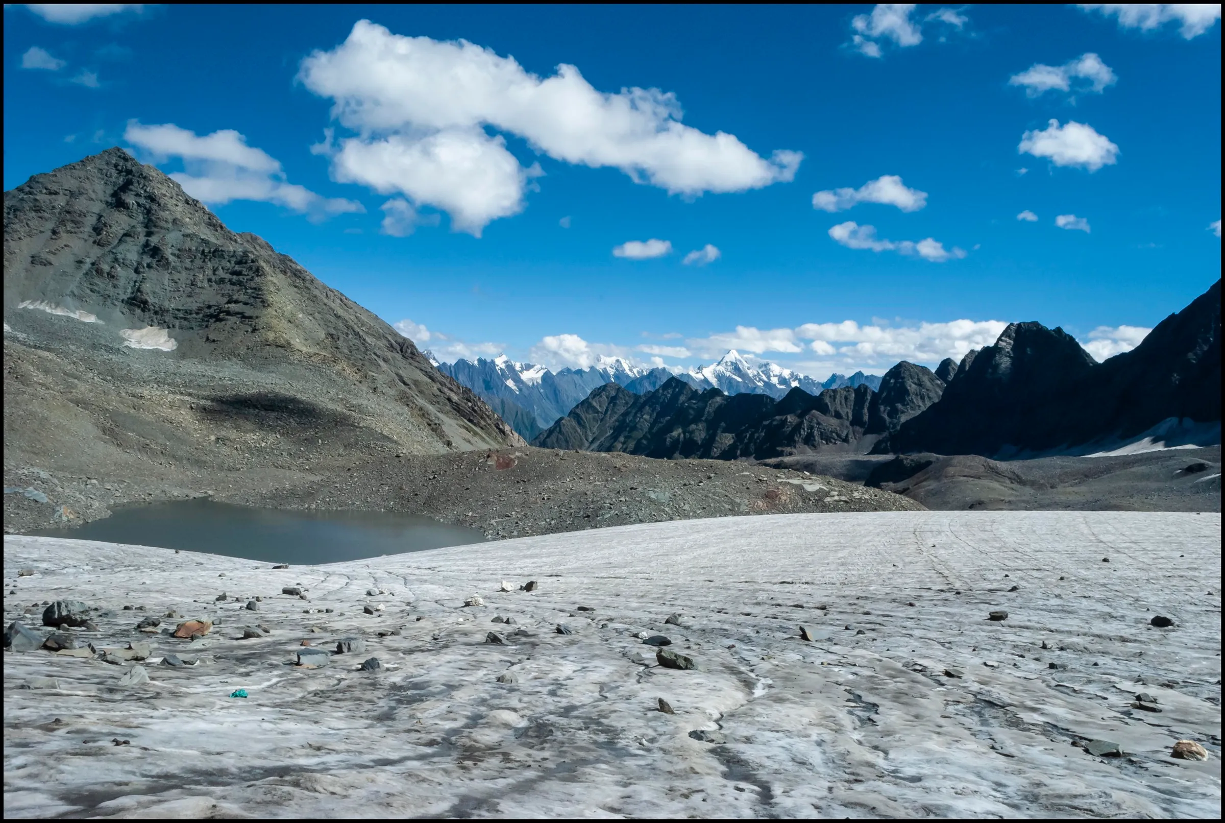
- A soft-turf summit at about 4,025 m (13,207 ft) directly west of Manali, reached by a walk that starts in town
- Views over the Beas valley and of the Pir Panjal and Dhauladhar ranges, with Hanuman Tibba, Deo Tibba and Indrasan on clear days (Himtrek)
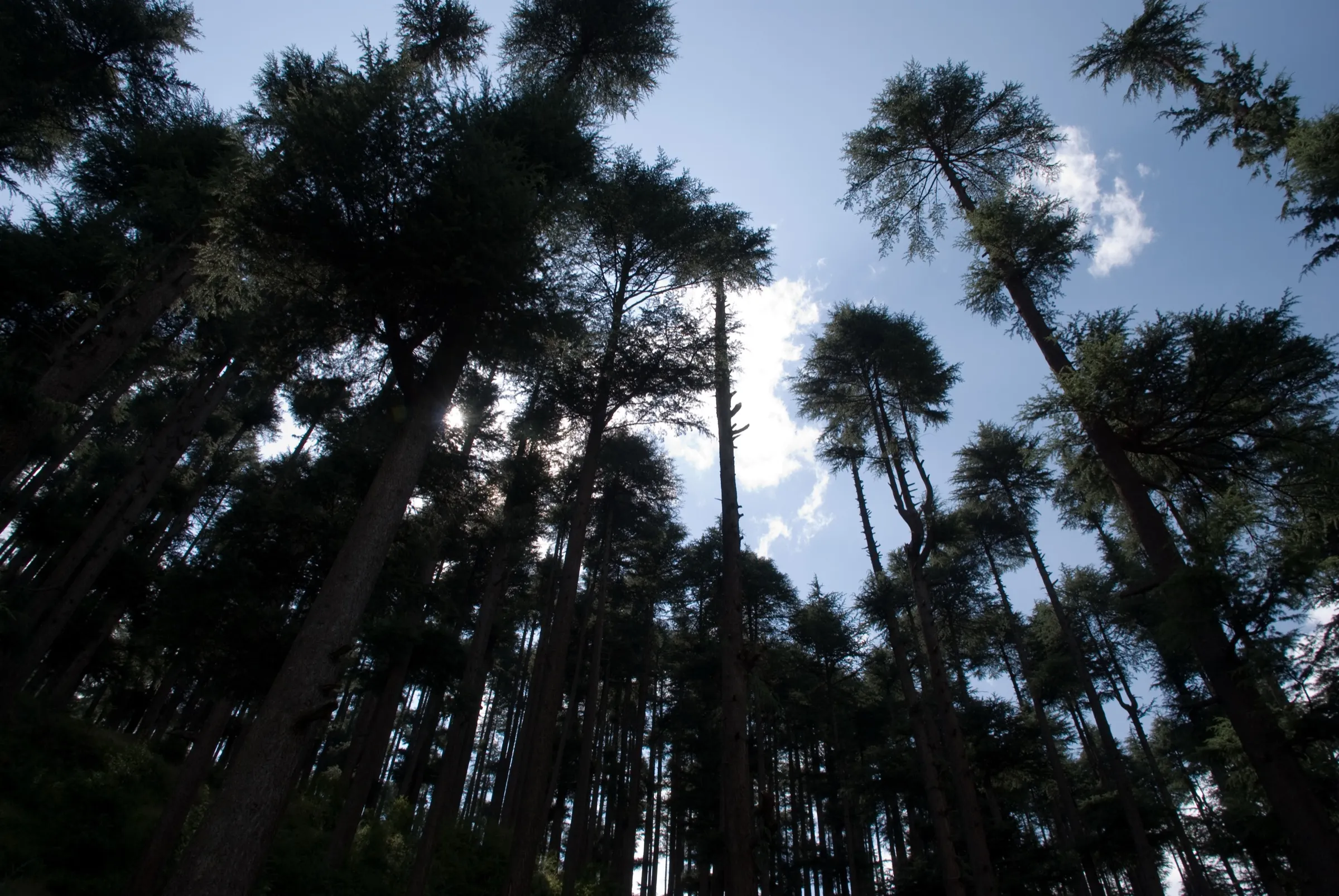
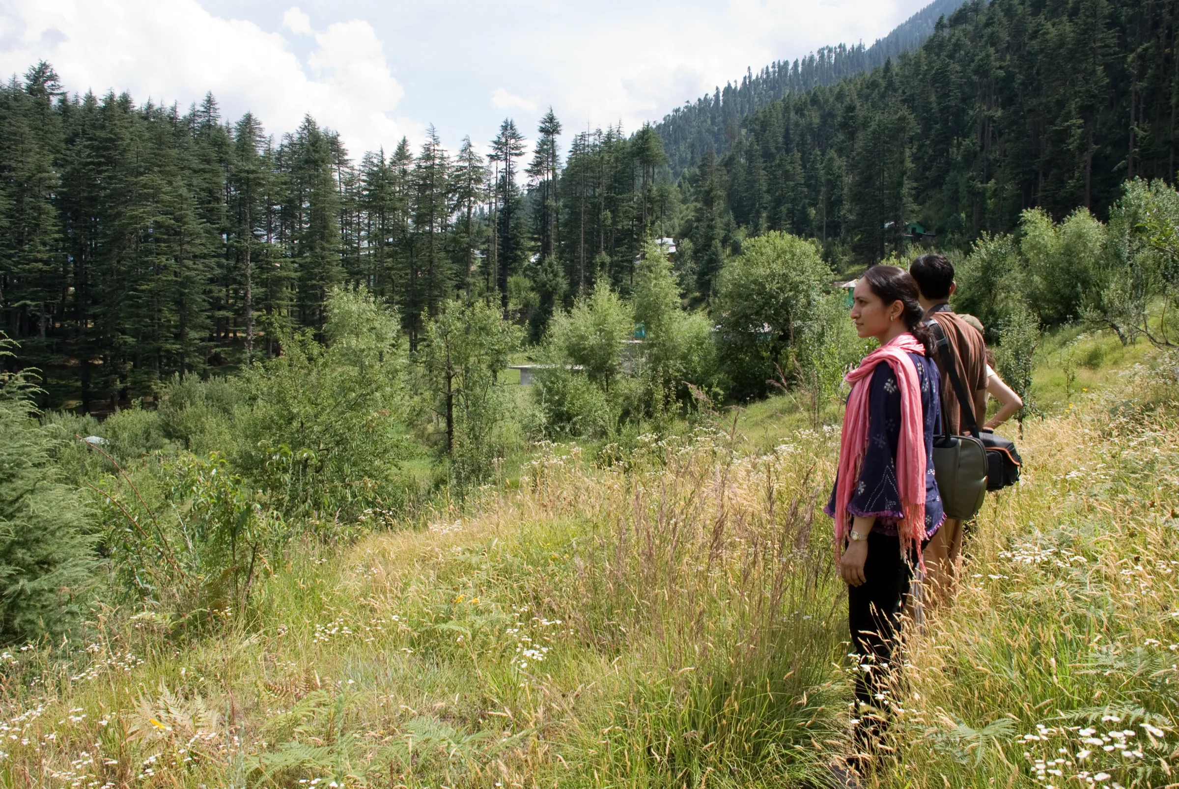
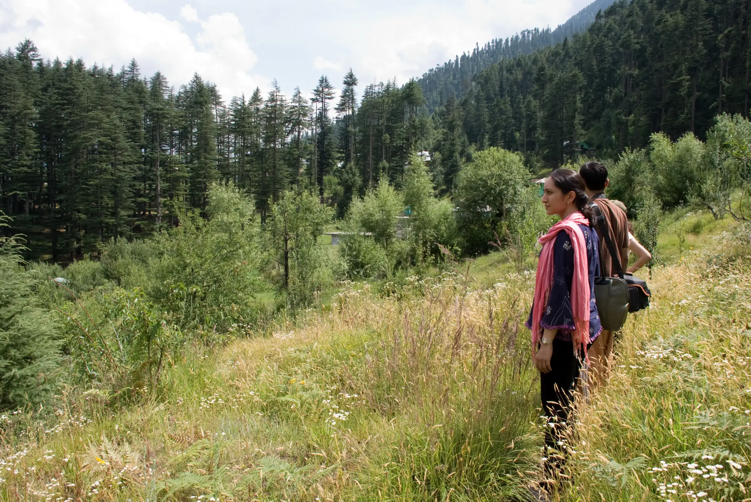
- Deodar and pine forest above the Hadimba Devi temple, then the open Lamadugh meadows
- Wildflower slopes and rhododendrons on the climb in early summer (Bikat, Himalayan Club)
- A quiet alternative to busier Manali treks, which also forms part of the Kalihani Pass return route
Risks
- The summit day is long (about 9 hours return from Lamadugh) and climbs about 1,000 m; altitude sickness is possible above 3,500 m after a fast ascent from Manali.
- Weather turns quickly on the ridge: the Himalayan Club party in 1970 reached the top in cloud with no views. Afternoon cloud and rain are common in July-August, which also makes the forest trail slippery.
- Himtrek gives summit-area night temperatures down to about -5 °C even in the season; winter snow on the upper slopes makes the climb harder, and Bikat's 'all-year' claim was not confirmed by any other source.
- Kullu forest officials have said permission from the Forest Department is needed to pitch tents in forest areas, and illegal camps have been removed on other Manali routes. Go with an operator who holds permission, or ask the forest office in Manali first.
- Sources disagree on the height of Lamadugh (2,500 m to 3,360 m); our 3,050 m comes from satellite terrain at the meadow and is approximate.
Know before you go
Questions
How high is Khanpari Tibba?
About 4,025 m (13,207 ft). The Himalayan Club Journal gives 13,207 ft, OpenStreetMap and satellite terrain both read 4,025 m, and Bikat quotes about 13,100 ft. Himtrek lists 14,019 ft (4,273 m), which is higher than the terrain at the summit.
How many days does the Khanpari Tibba trek take, and where does it start?
Three days from Manali. Himtrek walks up from Manali to camp at the Lamadugh meadows on day 1, climbs to the summit and back on day 2 (about 9 hours) and descends to Manali on day 3. The old Himalayan Club route also started straight up through the pine forest behind the Dhungri (Hadimba Devi) temple.
Is Khanpari Tibba difficult?
Operators grade it easy (Bikat) or easy-moderate (Himtrek), but it is steep: about 2,000 m of climbing in two days with a long summit day. There is no glacier or technical section, so fit beginners can manage it with a guide.
What is the best time for the Khanpari Tibba trek?
Himtrek runs it from May to October. May-June brings wildflowers and September-October usually the clearest views; July-August is the monsoon, with cloud and slippery trails.
In an emergency
Save these numbers before you lose signal. Tap to call.
- 112All emergenciesIndia’s single emergency number — works in every state
- 108Ambulance
- 1077District disaster control room
You are in
District: KulluHimachal Pradesh
- Nearest hospital
- Manali (civil hospital and Mission Hospital); Kullu for more serious cases. Evacuation from Lamadugh is on foot down to Manali.
- Last ATM
- Manali (no ATMs on the trail)
- Phone network
- Good network in Manali; we could not confirm coverage at Lamadugh or on the summit, so expect it to be patchy or absent.
Before you set off
- Tell someone your route and when you will be back.
- Carry a charged phone and a power bank.
- Download an offline map of the route.
- Turn back if the weather turns bad — the mountain will wait.
Questions about Khanpari Tibba
No questions yet. Ask something and trekkers who have done it can answer.
Share your trek photo with #TreksAndTrails
I trekked this
Did Khanpari Tibba look different from this page? Tell us what changed and we will check it.
Where this comes from
Sources
Last reviewed:
- Khanpari Tibba Trek — Himtrek
- Offbeat treks in Manali — Khanpara Tibba Trek — Bikat Adventures
- Manali Holiday, 1970 (Himalayan Journal 30) — The Himalayan Club
- Khanpari Tibba (peak, ele 4025) — OpenStreetMap
- Illegal trekking camps removed from Hamta Pass — The Tribune
Photos: Kiran Jonnalagadda from Bangalore, India, CC BY-SA 2.0; Ryan from Toronto, Canada, CC BY 2.0; Hippiefromhills, CC BY-SA 4.0